|
|
|
Sansom, William
AWAY TO IT ALL
DJ with slight edgewear and with light tape repair. Rough spot on front free endpaper from removed price sticker; Author Sansom describes his impressions in a general sense in various ports of call in Europe; 8vo; 224 pages
|
|
|
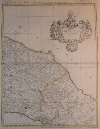
SANSON d'ABBEVILLE (Nicolas) & COVENS et MORTIER.
[TOSCANE/ETATS DE L'EGLISE] Estats de l'Eglise et de Toscane.
Amsterdam, Covens et Mortier, [circa 1710]. 580 x 445 mm.
Référence libraire : LBW04176
|
|
|
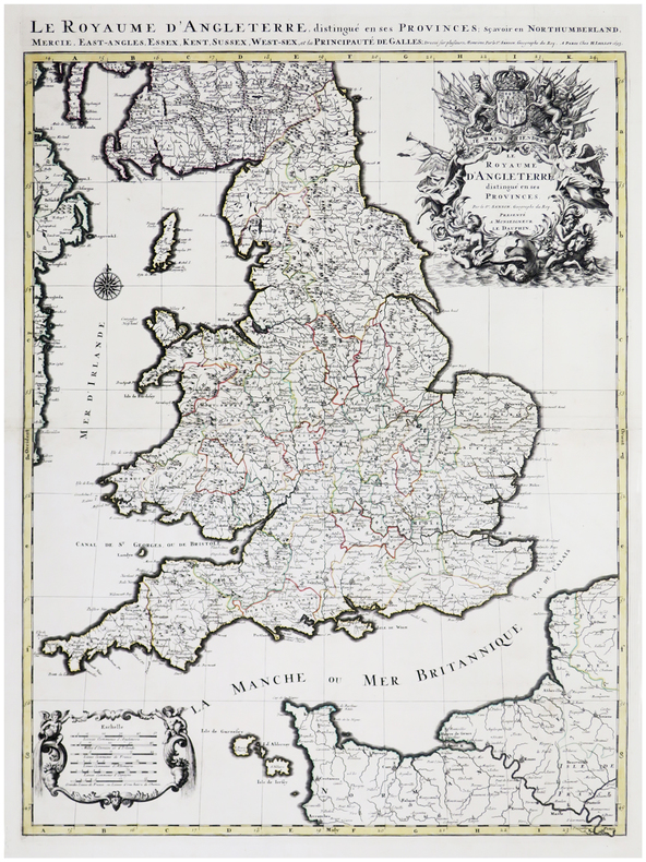
SANSON d'ABBEVILLE (Nicolas) & JAILLOT (Alexis-Hubert).
Le Royaume d'Angleterre distingué en ses provinces.
Paris, H. Jaillot, 1693. En deux feuilles jointes formant une carte de 785 x 584 mm.
Référence libraire : LBW-6390
|
|
|
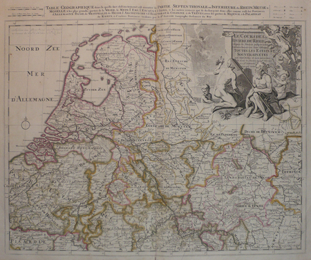
SANSON d'ABBEVILLE (Nicolas) & SCHENK (Petrus).
[PAYS-BAS] Le cours de la rivière du Rhein depuis sa source jusques à son emboucheure où sont distingués toutes les estats et souverainetés.
Amsterdam, Pierre Schenk, [circa 1700]. 472 x 575 mm.
Référence libraire : LBW0416f
|
|
|
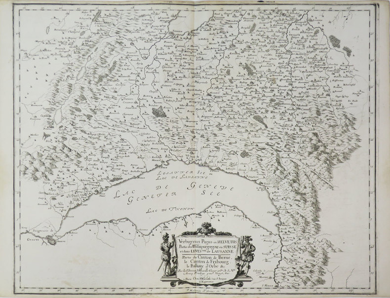
SANSON d'ABBEVILLE (Nicolas).
[LAC LÉMAN] Verbigenus Pagus in Helvetiis. Partie du Wiflispurgergow en Suisse et dans l'évesché de Lausanne. Partie du canton de Berne, le canton de Fribourg, le balliage d'Orbe &c.
Paris, P. Mariette, 1661. 418 x 521 mm.
Référence libraire : LBW-3670
|
|
|
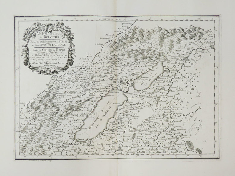
SANSON d'ABBEVILLE (Nicolas).
[LACS de NEUCHÂTEL et de BIENNE] Verbigenus Pagus in Helvetiis. Partie du Wiflisburgergow en Suisse et dans l'évesché de Lausanne. Partie du canton de Berne, le comté de Neufchastel, les balliages de Murat, de Granson &c.
Paris, P. Mariette, 1661. 297 x 424 mm.
Référence libraire : LBW-3671
|
|
|
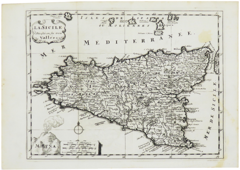
SANSON d'ABBEVILLE (Nicolas).
[SICILE] La Sicile divisée en ses trois vallées.
[1700]. 202 x 266 mm.
Référence libraire : LBW-5427
|
|
|
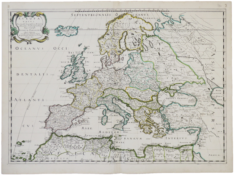
SANSON d'ABBEVILLE (Nicolas).
Europa vetus.
Paris, chez l'auteur et chez Pierre Mariette, 1650. 393 x 553 mm.
Référence libraire : LBW-4944
|
|
|
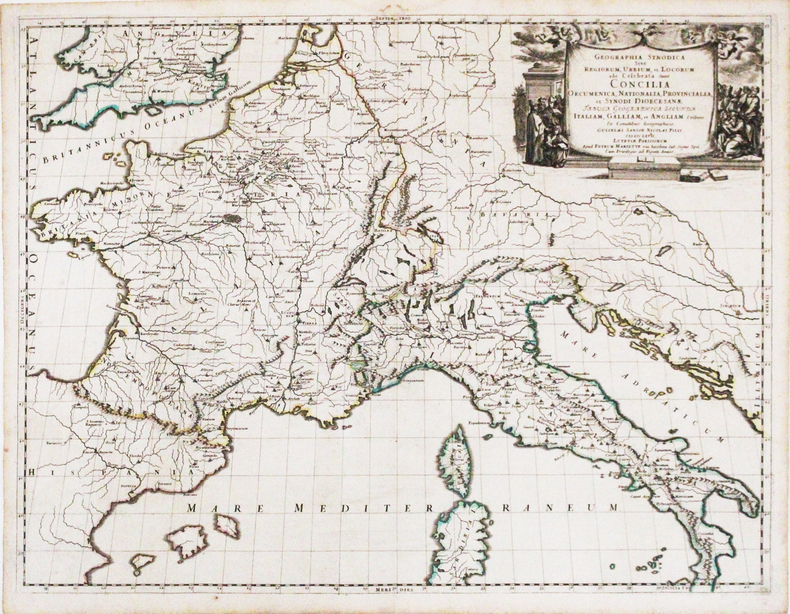
SANSON d'ABBEVILLE (Nicolas).
Geographia synodica sive regionum, urbium, et locorum, ubi celebrata sunt Concilia œcumenica, nationalia, provincialia, et synodi diœcesanæ tabula geographica secunda Italiam, Galliam, et Angliam.
Paris, Pierre Mariette, 1667. 422 x 554 mm.
Référence libraire : LBW-3266
|
|
|
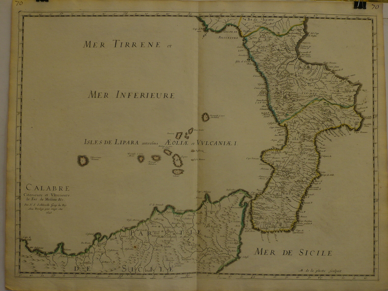
SANSON d'ABBEVILLE (Nicolas);
Calabre citérieure et ultérieure, le far de Messine &c.
1648 409 x 558 mm.
Référence libraire : LBW-969
|
|
|
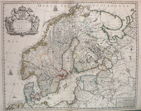
SANSON d'ABBEVILLE (Nicolas);
La Scandinavie où sont les estats de Suède, Norwègue et Danemarck.
Paris P. Mariette 1658 421 x 525 mm.
Référence libraire : LBW0394d
|
|
|
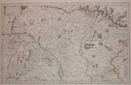
SANSON d'ABBEVILLE (Nicolas);
Partie septentrionale du royaume de Hongrie, tirée de divers autheurs.
Paris chez l'autheur 1699 361 x 580 mm.
Référence libraire : LBW006af
|
|
|
Sanson d'Abbeville Nicolas
L'Europe / L'Asie, en plusieurs cartes nouvelles et exactes... / L'Afrique, en plusieurs cartes nouvelles et exactes... / L'Amérique, en plusieurs cartes nouvelles et exactes...
Chez L'auteur Relié 1662 "MAGNIFIQUE ENSEMBLE DES QUATRE CONTINENTS CARTOGRAPHIÉS PAR LE PREMIER CARTOGRAPHE FRANÇAIS, DANS UN ÉTAT DE FRAICHEUR INCOMPARABLE. Quatre volumes petit in-4 (18,5 x 25 cm), reliés en plein veau brun de l'époque. Les reliures sont toutes identiques, dos à 5 nerfs, titrés, roulettes dorées sur les coupes. Nicolas Sanson d'Abbeville est considéré comme le fondateur de la cartographie en France. En 1627, rencontrant Richelieu (il venait d'Abbeville et s'était installé à Paris), il fut présenté par lui à Louis XIII, qui le nomma Géographe Ordinaire du Roi. Il cartographia quatre continents (ici présents : l'Europe, l'Asie, l'Afrique et l'Amérique), et fut même le premier à cartographier certaines parties du globe (ainsi, par exemple, la région des grands lacs canadiens, avec sa carte ""Le Canada ou Nouvelle France"" (carte datant de 1656)). Il fut le premier Français à concevoir le plan d'un atlas mondial. Les cartes et le texte de chaque volume sont entièrement montés sur onglets. Chaque carte reçoit un commentaire explicatif, avec informations sur l'économie, les habitants et les moeurs du pays décrit, tiré des auteurs anciens (Pline, Strabbon...), de récits de voyageurs ou de rapports des missions des jésuites. De plus, chacune des cartes présente les tracés de contours des pays ou régions aquarellés. Les volumes s'organisent comme suit : L'Europe (sans date) : Titre et dédicace gravés sur double page, 12 cartes doubles et 30 feuillets imprimés au recto. L'Asie (1662) : 108 pages (avec erreurs connues de chiffrage et inversion de feuillets) et 17 cartes doubles. L'Afrique (1662) : 96 pages et 17 planches doubles, proposant 18 cartes (car l'une des planches porte deux cartes) (ce volume est le seul à présenter une petite mouillure sur les quelques premières pages). L'Amérique (1662) : non paginé (80 pages) et 15 cartes doubles. Nos exemplaires sont en TRÈS BEL ÉTAT. Les pages sont très fraiches, sans aucune réelle trace, tache, piqûre ni mouillure. Les cartes, particulièrement, sont dans un vraiment très bel état de fraîcheur, avec des couleurs extrêmement éclatantes. Les reliures présentent des traces peu visibles de réparations anciennes. Les volumes ont étés reliés avec contre-gardes, mais sans pages de garde. Ce rare ensemble est véritablement en TRÈS BEL ÉTAT. Livraison a domicile (La Poste) ou en Mondial Relay sur simple demande."
Référence libraire : bf4740
|
|
|
Sanson Nicolas (1626 – 1648)
L'Europe Par N. Sanson Geographe Ord.re du Roy
Tratta dall'edizione del "Cartes Gènerales de toutes les parties du Monde" curata da Pierre Mariette.Sanson era il più famoso cartografo francese della storia moderna, cosmografo al servizio di Luigi XIV, re di Francia; dotò le sue mappe delle più recenti informazioni geografiche e delle incisioni più belle e acute del periodo. Il "Cartes Generales de Toutes les Parties du Monde" rappresenta il più importante prodotto della cartografia commerciale francese del diciassettesimo secolo.Le mappe furono compilate a partire dal 1630 e l'atlante edito per la prima volta nel 1654, stampato da Pierre Mariette.Bell'esempalre, con coloritura coeva dei contorni, piccolo restauro all'angolo superiore destro, per il resto in buono stato di conservazione. Map taken from "Cartes Gènerales de toutes les parties du Monde" by Sanson.The maps were compiled by Nicolas Sanson who published his atlas in 1654, with 100 maps, and printed by Pierre Mariette; they were issued progressively from 1630. Sanson was the most noted French cartographer in modern history. Mapmaker to Louis XIV, King of France, Sanson endowed his maps with the most recent geographical information as well as the finest and sharpest engraving of the period. His "Cartes Generales de Toutes les Parties du Monde" was the most important single product of French commercial cartography of the seventeenth century.Copperplate, a small repaired area in the top right border, otherwise in good condition.

|
|
|
SANSON Nicolas D’Abeville (Abbeville 1600 - Parigi 1667)
Estats de l'Empire des Turqs en Europe…
Tratta dall'edizione del "Cartes Gènerales de toutes les parties du Monde" curata da Pierre Mariette, edita nel 1663. Sanson era il più famoso cartografo francese della storia moderna, cosmografo al servizio di Luigi XIV, re di Francia; dotò le sue mappe delle più recenti informazioni geografiche e delle incisioni più belle e acute del periodo. Il "Cartes Generales de Toutes les Parties du Monde" rappresenta il più importante prodotto della cartografia commerciale francese del diciassettesimo secolo.Le mappe furono compilate a partire dal 1630 e l'atlante edito per la prima volta nel 1654, stampato da Pierre Mariette. Map taken from "Cartes Gènerales de toutes les parties du Monde" by Sanson.The maps were compiled by Nicolas Sanson who published his atlas in 1654, with 100 maps, and printed by Pierre Mariette; they were issued progressively from 1630. Sanson was the most noted French cartographer in modern history. Mapmaker to Louis XIV, King of France, Sanson endowed his maps with the most recent geographical information as well as the finest and sharpest engraving of the period. His "Cartes Generales de Toutes les Parties du Monde" was the most important single product of French commercial cartography of the seventeenth century.Copperplate, good condition. Zacharakis C. G. "A Catalogue of Printed Maps of Greece 1477 - 1800" (2009), n. 3127

|
|
|
Sansone Gugliemo dis. & De Rossi edit.
L'Europa
Carta geografica del continente europeo, in bella coloritura coeva. Inserita in "Mercurio geografico overo Guida Geografica in tutte le parti del Mondo conforme le Tavole Geografiche del Sansone Baudran de Cantelli Data in luce con direttione, e cura di Gio. Giacomo de Rossi nella sua stamperia in Roma alla Pace all'insegna di Parigi con Priu: del S. Pont" edita a Roma alla fine del '600. Al verso testo manoscritto descrittivo con inchiostro bruno inerente la carta

|
|
|
SANTANCHE', Gioacchino
Una rivoluzione fallita. I "metodi" diBoris Ponomariov in Europa
271 p. con alcune tavole fuori testo, 20 cm. Brossura editoriale. Leggere fioriture all'occhietto e all'ultima pagina, leggere tracce di polvere in copertina

|
|
|
SANTANCHÈ' Gioacchino
Una rivoluzione fallita. I "metodi" di Boris Ponomariov in Europa. Pref. di Matteo Matteotti.
8°, pp. 271 (1) + 12 tavv. f.t.con numerose fotoinc. Br. edit.
|
|
|
Santangelo, Maria
Taormina und Umgebung. Maria Santangelo. [Gekürzte Übers. v. Friedrich Wilhelm Deichmann]
Roma : M. Santangelo 195. 148 S. : mit Abb. und 29 Tafeln in schwarzweiss ; kl. 8° Broschiert, Exemplar in gutem Erhaltungszustand
Référence libraire : 30108

|
|
|
Santi Fedele
Dalle crisi dell'impero sovietico alla dissoluzione del socialismo reale
Autori: Santi Fedele, Pasquale Fornaro.

|
|
|
Santi Giancarlo - Baglione Chiara (a cura di)
Concorsi per nuovi complessi parrocchiali nelle diocesi di Milano, Perugia e Lecce 1998-1999
illustrazioni

|
|
|
Santi Giancarlo - Crespi Giovanna (a cura di)
Concorsi per nuovi complessi parrocchiali nelle diocesi di Bergamo, Porto-Santa Rufina (Roma) e Potenza-Muro Lucano-Marsico Nuovo
illustrazioni

|
|
|
Santiago de Compostela - JOSE M. FERNANDEZ SANCHEZ - FRANCISCO FREIRE BARREIRO
Guía de Santiago y sus alrededores.
Santiago. Imprenta del Seminario Conciliar 1885. XVI, 575, (1) Seiten u. ein Werbeanhang. Roter, titelgeprägter Original-Leinwand-Einband. (Einband an den Kanten etwas berieben. Bindung gelockert. Papier qualitätsbeding teils etwas gebräunt. Die gefalteten Tafeln teils mit Gebrauchsspuren an den Rändern und Faltkanten). 16x11 cn
Référence libraire : 148708

|
|
|
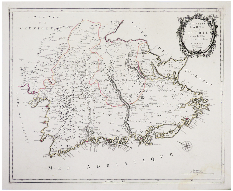
SANTINI (Paolo).
[CROATIE/ISTRIE] Nouvelle carte de l'Istrie.
Venise, M. Remondini, 1780. 458 x 571 mm.
Référence libraire : LBW-4929
|
|
|
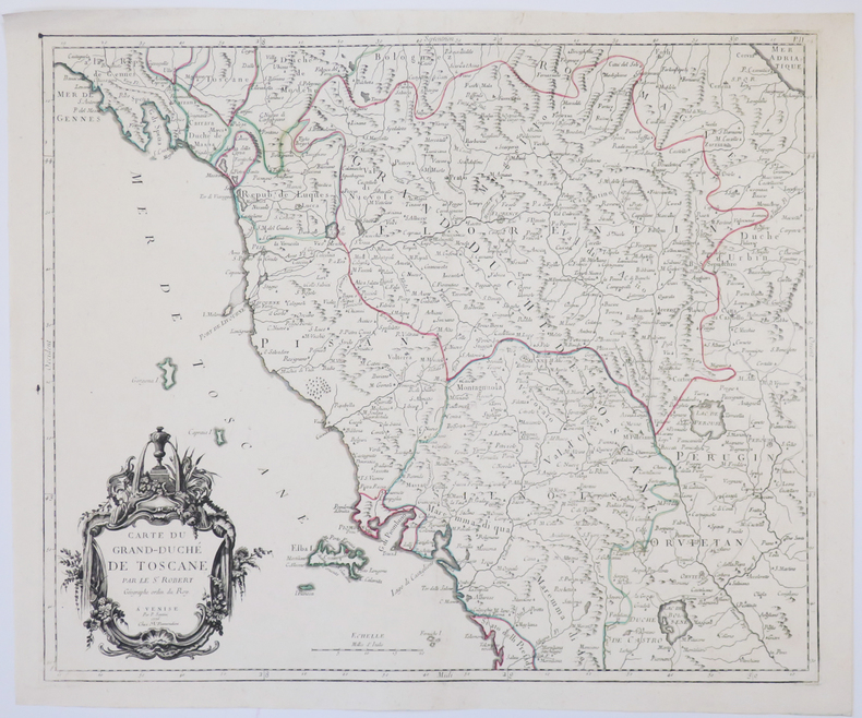
SANTINI (Paolo).
[TOSCANE] Carte du Grand-Duché de Toscane.
Venise, M. Remondini, 1776. 470 x 564 mm.
Référence libraire : LBW-4927
|
|
|
SANTINI Francesco & Paolo (Attivi a Venezia seconda metà del XVIII secolo)
Carte des Environs de la Mer Noire
Mappa accurata e finemente incisa raffigurante il Mar Nero; è una mappe più dettagliate sulla regione pubblicata a metà del XVIII secolo.Cartiglio decorativo con il titolo nell'angolo in alto a destra e notevoli dettagli topografici. La mappa mostra città, fiumi, catene montuose, laghi e altri dettagli. Carta geografica curata da don Paolo Santini e dal fratello Francesco per il loro prestigioso Atlas universel dressé sur les meilleures cartes modernes, sontuoso atlante composto da mappe che rielaborano la più aggiornata cartografia francese in una veste veneta. Le carte sono prese dai migliori geografi del suo tempo, D’Anville, Bellin, Bonne, Borgomo, Boscovich, Clarici, Delisle, Jaillot, Janvier, Robert de Vaugondy. In effetti nelle carte dei Santini, vengono mescolati termini francesi con italiani, ma sono offerte con una grazia compositiva ed incisoria loro caratteristiche: una toponomastica non fitta, scritta in grande e ben leggibile. L’atlante di Santini non ebbe una grande fortuna editoriale e uscì in poche copie: venne quindi ristampato dai Remondini, che avevano acquistato dal Santini nel 1781 le incisioni in rame. Alle carte di Paolo Santini, datate fra il 1774 e il 1780, i Remondini aggiunsero diverse altre carte, datate fra il 1782 e il 1784: fra queste, nel secondo volume, la grande carte ripiegata dell’Italia, la Repubblica di Genova, la Palestina, le grandi carte dell’Africa. Paolo Santini (1729, Venezia–1793, Belluno), sacerdote cattolico presso la Chiesa di Santa Maria Formosa a Venezia, docente di disegno alle scuole della città lagunare della Provincia Veneta della Compagnia di Gesù. Santini, cartografo, incisore ed editore, aggiornò e pubblicò le mappe dei geografi e cartografi francesi Gilles Robert de Vaugondy (1688–1766) e Didier Robert de Vaugondy (c. 1723–1786), ispirandosi anche alle opere dei cartografi italiani, innanzitutto a quelle di Giovanni Antonio Rizzi Zannoni (1736–1814). Utilizzando, come modello, le mappe raccolte e pubblicate nel 1752 nell’Atlas Universel di Gilles Robert e Didier Robert de Vaugondy, acquistate a Parigi da suo fratello, Francesco Santini, e le «migliori carte geografiche» dell’epoca, Paolo Santini incise nuove lastre e diede alle stampe a Venezia, nel 1776, l’Atlas Universel dressé sur les meilleures cartes modernes. L’anno successivo, 1777, cedette i diritti di pubblicazione all’editore Giuseppe Remondini (1754–1811) di Bassano del Grappa che ristampò l’«Atlas Universel» in due volumi che raccoglievano complessivamente 123 carte geografiche. Le matrici in rame in possesso dei Santini furono poi acquistate, nel 178, dalla stamperia Remondini. Incisione in rame, coloritura coeva dei contorni, in ottimo stato di conservazione. Bibliografia NMM III, 277; Nordenskiöld 276; Phillips, Atlases 647. Rodolfo Gallo, L'incisione nel '700 a Venezia e a Bassano, in “Ateneo Veneto”, A. CXXXII, v. 128, pp. 153-214. Finely and crisply engraved map centered on the Black Sea, is one of the most detailed maps of the region published in the mid-18th Century.Noteworthy topographical detail is shown. Decorative title cartouche in the upper right corner. Map compiled by Don Paolo Santini and his brother Francesco, for their prestigious Atlas universel dressé sur les meilleures cartes modernes, a sumptuous Atlas composed of maps that rework the most up-to-date French cartography in a Venetian guise. The maps are taken from the best geographers of his time, D'Anville, Bellin, Bonne, Borgomo, Boscovich, Clarici, Delisle, Jaillot, Janvier, Robert de Vaugondy. Indeed, in Santini's maps, French terms are mixed with Italian, but they are offered with a compositional and engraving grace that is characteristic of them: an uncluttered toponymy, written large and clearly legible. Santini's Atlas did not have great publishing success and came out in few copies: it was then reprinted by the Remondini, who had purchased the copperplates from Santini in 1781. To Paolo Santini's maps, dated between 1774 and 1780, the Remondini added several other maps, dated between 1782 and 1784: among them, in the second volume, the large folded maps of Italy, the Republic of Genoa, Palestine, and the large maps of Africa. Paolo Santini (1729, Venice-1793, Belluno), Catholic priest at the Church of Santa Maria Formosa in Venice, professor of drawing at schools in the Lagooon city of the Venetian Province of the Society of Jesus. Santini, a cartographer, engraver and publisher, updated and published the maps of French geographers and cartographers Gilles Robert de Vaugondy (1688-1766) and Didier Robert de Vaugondy (c. 1723-1786), also drawing inspiration from the works of Italian cartographers, first and foremost those of Giovanni Antonio Rizzi Zannoni (1736-1814). Using, as a model, the maps collected and published in 1752 in the Atlas Universel by Gilles Robert and Didier Robert de Vaugondy, purchased in Paris by his brother, Francesco Santini, and the "best maps" of the time, Paolo Santini engraved new plates and gave to the presses in Venice, in 1776, the Atlas Universel dressé sur les meilleures cartes modernes. The following year, 1777, he sold the publishing rights to publisher Giuseppe Remondini (1754-1811) of Bassano del Grappa, who reprinted the "Atlas Universel" in two volumes that collected a total of 123 maps. The copper plates in the Santini's possession were later purchased, in 1781, by the Remondini printing house. Copperplate engraving, original outline coloring, in excellent condition. Bibliografia NMM III, 277; Nordenskiöld 276; Phillips, Atlases 647. Rodolfo Gallo, L'incisione nel '700 a Venezia e a Bassano, in “Ateneo Veneto”, A. CXXXII, v. 128, pp. 153-214.

|
|
|
SANTINO LANGE'
L'EREDITA' ROMANICA.L'EDILIZIA DOMESTICA IN PIETRA DELL'EUROPA OCCIDENTALE.
IN 4°, pp.286. LEGATURA IN PIENA TELA RIGIDA + SOVRACOPERTINA ILLUSTRATA A COLORI CON TITOLO.TAVV. 47 a col.f.t. 320 FOTOGRAFIE in b/n. IL LIBRO, DESCRIVE GLI ASPETTI<BR>ABITATIVI DELL'EUROPA OCCIDENTALE, NEI QUALI LA VALENZA SIMBOLICA DELLA CASA E DEL VILLAGGIO IN PIETRA E' LA RAPPRESENTAZIONE FORMALE DI UNA CULTURA E DI UN SISTEMA DI RAPPORTI UMANI E DELL'UOMO CON LA NATURA. OTTIMA CONSERVAZIONE<BR> ID 5913.

|
|
|
Santoro Francesco.
LA POLITICA DEI TRASPORTI DELLA COMUNITA' ECONOMICA EUROPEA.
(Codice EC/3755) In 8° XII-444 pp. Prima edizione. Mezza tela editoriale, titolo oro, sovraccoperta. Come nuovo. ~~~ SPEDIZIONE IN ITALIA SEMPRE TRACCIATA

|
|
|
Santoro S. (cur.); Zavatti F. (cur.)
Clio nei socialismi reali. Il mestiere di storico nei regimi comunisti dell'Europa orientale
br. Per oltre quarant'anni, la scrittura della storia nei paesi dell'Europa orientale è stata fortemente condizionata dagli imperativi ideologici e propagandistici dei regimi comunisti. La storia, più di ogni altra disciplina umanistica, offriva giustificazioni, e quindi legittimità, al potere. Indagare il rapporto tra storia e potere in questo ambito significa tanto addentrarsi nella storia dei socialismi reali e dei loro obiettivi - strategie, tattiche, tra rotture con il passato e continuità - quanto approfondire il rapporto che storici ed istituzioni di ricerca intrattenevano con la politica. I saggi presentati in questo volume si concentrano su alcuni aspetti cruciali del rapporto tra Clio e dittature comuniste, dal significato del mestiere di storico all'interno di realtà che spingevano a cercare accomodamenti e compromessi con il regime - pena la marginalizzazione o la persecuzione -, all'analisi dell'interazione delle storiografie e della loro evoluzione in relazione ai rispettivi contesti istituzionali, all'uso pubblico della storia e dei miti storici da parte dei regimi comunisti.

|
|
|
Santoro, Carlo Maria
Occidente Identità Dell'europa
Mm 140x215 Volume nella sua brossura originale, 298 pagine. Opera in ottime condizioni, presenta una piccola etichetta di biblioteca dismessa alla prima carta. Spedizione in 24 ore dalla conferma dell'ordine.
|
|
|
Santos Quartino, Daniela
Italian design / ed. and texts: Daniela Santos Quartino.
Köln: Daab, 2008. 383 S. überw. Ill., graph. Darst. Gr. 8°. Ill. OPpbd.
Référence libraire : 43112
|
|
|
Santos, Solvi dos
Décors de Bois : maisons traditionnelles en Norvège. Trad. du norvégien parMagny Teines-Tan...
s.l. : Valmont, c 2000. 200 p. : prédom. ill. 4°. Version française. Carton orig. avec couv.
Référence libraire : 43081
|
|
|
Santschi, Caterine und Charles Roth:
Catalogue des manuscrits d`Abraham Ruchat (= Etudes et documents pour servir à L`histoire de l`Univ. de Lausanne).
24, 16,5 cm. 150 Seiten, 1 Blatt. Kartonierter Einband. *Insgesamt gut erhalten. Bücher fr
|
|
|
Santucci, Ennio; Mario Moretti & Anna Maria Sgubini Moretti
LA VILLA DEI VOLUSII A LUCUS FERONIAE
Autostrade S. P. A. . 1977. Hardcover. Very Good in No Dust Jacket dust jacket. Minor chip to cloth at middle of spine and lower spine else Fine.; This is the most fascinating of journeys through time. Today's main roads and rest areas follow the same communication routes used by the ancient Romans. In 1962 work was stopped on the Autosole motorway Milan - Naples just outside Rome following the discovery of a unique archaeological find Villa dei Volusii. The company contributed to the recovery of the site in cooperation with the Archaeology Service for Southern Etruria and other archaeologists. Villa dei Volusii dates from the 1st century BC although the remains are part of a far larger archaeological site Lucus Feroniae.; 79 pages; In Italian. . Autostrade S. P. A. hardcover
Référence libraire : 3000
|
|
|
SANZ OLLER (Julio)
Entre el fraude y la esperanza, las Comisiones Obreras de Barcelona - Testimonio 3
Alençon, imp. Alençonnaise, 1972 - in-4 : 366 pp. - br.
Référence libraire : 253
|
|
|
Saphir, Moritz Gottlieb
Ausgewählte Schriften.
Brünn u. Wien, Karafiat, 1870. 4. Aufl. 10 Bde. in 5. 284 SS., 254 SS., 240 SS., 256 SS., 239 SS., 222 SS., 304 SS., 286 SS., 319 SS., 160 SS. 8°, schwarzbraune Kaliko-Einbände mit goldgepr. Rückentitel. Berieben und bestoßen.
Référence libraire : 16992
|
|
|
Sapir Jacques
Pays de l'Est : Vers la crise généralisée ?
Fédérop Dos carré collé 1980 In-12 (11,1 x 17 cm), dos carré collé, 322 pages ; couverture inégalement jaunie, papier bruni, quelques traits au crayon à papier dans les marges, assez bon état général. Livraison a domicile (La Poste) ou en Mondial Relay sur simple demande.
Référence libraire : gl1339
|
|
|
SAPONARO Michele
Viaggio in Norvegia.
4°, con 52 ill. f. t., leg. ed. t. tela fig., titoli e fregi al piatto ant., lievi forellini di tarlo alla leg. e alle ultime carte bianche.
|
|
|
SAPORI (Armando)
Le Marchand italien au Moyen Age. Conférences et bibliographie
Paris, Armand Colin, 1952 in-8, LXX-126 pp., index, biblio., broché.
Référence libraire : 663689
|
|
|
Sapori, Armando
La Mercatura Medievale
Mm 110x180 Collana "Sansoni Scuola Aperta". Brossura editoriale, 142 pagine. Opera in buone-ottime condizioni complessive, spedizione in 24 ore dalla conferma dell'ordine.
|
|
|
Sapper, Manfred (Hg.) u.a
Grenzland. Konflikt und Kooperation im Südkaukasus. Osteuropa 7-10/2015.
Berlin : BWV, 2015. 672 Seiten mit 175 Abbildungen und 21 Farbkarten. Originalbroschur.
Référence libraire : 1115738

|
|
|
Sapper, Manfred (Hg.) u.a
Ressourcenfluch, Ressource Buch. Erkundungen in raffiniertem Terrain. Osteuropa 7/2011.
Berlin : BWV, 2011. 192 Seiten. Originalbroschur.
Référence libraire : 1115729

|
|
|
Sapper, Manfred (Hg.) u.a
Scheidewege. Sackgassen, Umwege und Auswege. Osteuropa 10/2011.
Berlin : BWV, 2011. 168 Seiten. Originalbroschur.
Référence libraire : 1115731

|
|
|
Sapper, Manfred (Hrsg.)
Minderheiten in Europa : Ansprüche, Rechte, Konflikte. Osteuropa ; Jg. 57, H. 11.
Berlin : BWV, Berliner Wiss.-Verl., 2007. 280 S. : Ill., graph. Darst., Kt. ; 24 cm; kart.
Référence libraire : 1118986

|
|
|
Sapper, Manfred (Red.) u.a
Europa, Moldova; Bologna. Alter Schlauch in neuen Weinen. Heft 5; 2009. Osteuropa. 59. Jg.
o.J. 159 S.; Illustr.; 24 cm; kart.
Référence libraire : 1118692

|
|
|
Sapper, Manfred (Red.) u.a
osteuropa. 54. Jahrgang; März 2004.
Dt. Gesellschaft f. Osteuropakunde (Hrsg.), 2004. 144 S.; Abb. Broschiert.
Référence libraire : 1012944

|
|
|
Sapper, Manfred (Red.) u.a
Schwerpunkt: Georgien. Heft 7; 2007. Osteuropa. 57. Jg.
o.J. 168 S.; Illustr.; 24 cm; kart.
Référence libraire : 1118689

|
|
|
Saprjanov, Christo
The Flayed Dog
Very good condition, slight general wear, top and tail of spine are bumped, top edge of page block is lightly tanned, clear, bright and tight. Used
|
|
|
Sarabianov, Dimitri
Valentin Serov
Light wear to cover with small tear at bottom of spine. Previous owner's name inside. Full brown cloth boards. Light wear to dust jacket. 9 1/2"w x 11 3/4"h. 272 pages.

|
|
|
Sarah Zuhra Lukanic - prefazione di Silvio Ferrari
Le lezioni di Selma
bross. edit. ill. con bandelle - prima edizione

|
|
|

 Recevoir par e-mail
 Télécharger en PDF
 Flux RSS
 Lien permanent


