|
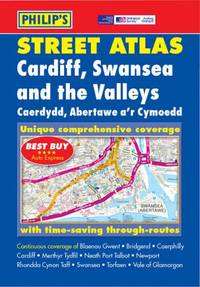
Philip's Maps
Cardiff Swansea and the Valleys Street Atlas
Paperback. Very Good. paperback
Référence libraire : GOR001004849 ISBN : 0540079731 9780540079735
|
|
|
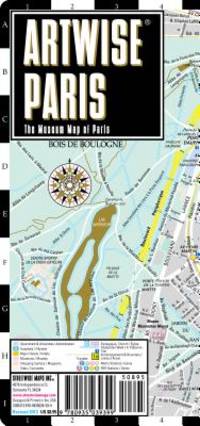
Streetwise Maps
Artwise Paris Museum Map - Laminated Museum Map of Paris FR
StreetWise 2007-12-27. map. Used: Good. 4.00x0.25x8.75. Buy with confidence. Excellent Customer Service & Return policy. StreetWise unknown
Référence libraire : SONG0935039392 ISBN : 0935039392 9780935039399
|
|
|
Streetwise Maps
Streetwise Paris Map - Laminated City Center Street Map of Paris France
StreetWise 2016-02-01. map. Used: Good. 3.75x0.25x8.50. Buy with confidence. Excellent Customer Service & Return policy. StreetWise unknown
Référence libraire : SONG0935039252 ISBN : 0935039252 9780935039252

|
|
|
Lower, Arthur R. M. Maps By T. W. McLean
A History of Canada: Colony to Nation
Don Mills ON Canada: Longman's Canada Limited 1964. Fourth edition revised 1964. Comprehensive history of Canada with an emphasis on its political evolution. Includes a folding chart of Canadian political parties. Pictorial cloth in red white and black 600 pages no dustjacket. Minor edgewear lower corner of rear cover bumped good hinges sound text block clean pages free from names or other markings. Hard Cover. Very Good/No. 8vo - over 7¾" - 9¾" tall. Longman's Canada Limited Hardcover
Référence libraire : 018684

|
|
|
(Cartes Larousse).
Cartes Larousse: Atlas de la Guerre. With Directions in English I-XLI 41 ISSUES WITH 206 PLATES. COMPLETE.
Paris Librairie Larousse 1915-19. 1st Edition . Hardcover. . ~ ~ NOTE: THE PRICE OF THIS BOOK IS CURRENTLY REDUCED! ~ ~ . 41 issues bound in one volume. Thick royal quarto. Unpaginated. With hundreds of letterpress maps many of which are in colour printed on recto only on 246 leaves of plates. Some photo-plates. Explanatory text to each map. Introductions. HARDCOVER bound in contemporary quarter cloth bit rubbed and scuffed in places paper-covered boards cloth inner hinges spine gilt. All 41 original yellow card wrappers printed in red are preserved and bound-in few with old institutional stamp; expert paper repair to one leaf with minor loss. In about fine condition. Excellent copy very well preserved. ~ FIRST EDITION. Very rare. F-3 <br/> <br/> Paris, Librairie Larousse, (1915-19). hardcover
Référence libraire : 1965

|
|
|
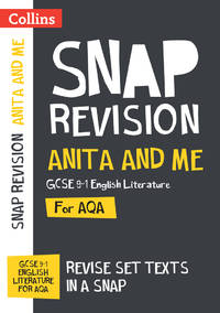
Collins Maps
Anita and Me AQA GCSE 9-1 English Literature Text Guide: Ideal for home learning 2022 and 2023 exams Collins GCSE Grade 9-1 SNAP Revision
Collins 2022-07-24. paperback. Used: Good. 5.83x0.24x8.27. Buy with confidence. Excellent Customer Service & Return policy. Collins paperback
Référence libraire : SONG0008520100 ISBN : 0008520100 9780008520106
|
|
|
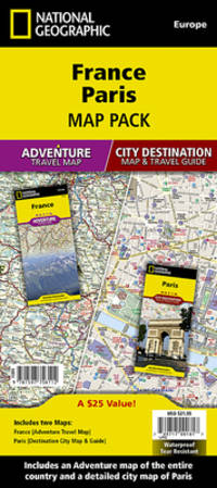
National Geographic Maps - Adventure
France Paris Map Pack Bundle National Geographic Adventure Map
Natl Geographic Society Maps. New. Special order direct from the distributor Natl Geographic Society Maps unknown
Référence libraire : ING9781597756112 ISBN : 1597756113 9781597756112
|
|
|
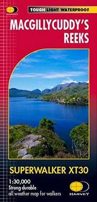
Harvey Maps
MacGillycuddys Reeks XT30 Superwalker
Paperback. Very Good. paperback
Référence libraire : GOR014484163 ISBN : 1851376011 9781851376018
|
|
|
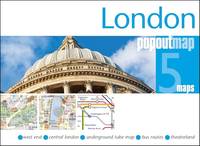
PopOut Maps
London PopOut Map: Pocket-size pop up city map of London PopOut Maps
Paperback. Very Good. paperback
Référence libraire : GOR014489066 ISBN : 1917131151 9781917131155
|
|
|
National Geographic Maps
New Mexico Recreation Map - 2025 Edition Benchmark
Benchmark Maps. New. Special order direct from the distributor Benchmark Maps unknown
Référence libraire : ING9780783499758 ISBN : 0783499752 9780783499758
|
|
|
Benchmark Maps (Firm)
Albuquerque & Santa Fe street atlas
Benchmark Maps 2001. Paperback. Acceptable. Readable copy. Pages may have considerable notes/highlighting. ~ ThriftBooks: Read More Spend Less.Dust jacket quality is not guaranteed. Benchmark Maps paperback
Référence libraire : G0929591720I5N00 ISBN : 0929591720 9780929591728
|
|
|
Compass Maps
Amsterdam Imap
Compass Maps 2000. Soft cover. Good/No Jacket as published. Folded maps etc of Amsterdam Clean and sound although the compass is missing. All orders processed promptly and shipped from the Uk <br/> <br/> Compass Maps paperback
Référence libraire : 028553 ISBN : 184139520X 9781841395203
|
|
|
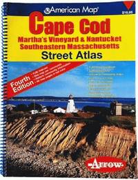
Arrow Maps
American Map Cape Cod Martha's Vineyard & Nantucket Southeastern Massachusetts: Martha's Vineyard & Nantucket Southeastern Massachusetts
Arrow Map 2006. 4th. spiral_bound. Good. 10x0x13. Fourth Edition 2006 with a yellow red and blue cover. Wire coil binding. Pages unmarked; mild usage wear. Arrow Map unknown
Référence libraire : 81813aasp ISBN : 1557513015 9781557513014
|
|
|
Espinoza Cartes, Carolina
Exiliadas
New. unknown
Référence libraire : 9788412899221 ISBN : 8412899229 9788412899221
|
|
|
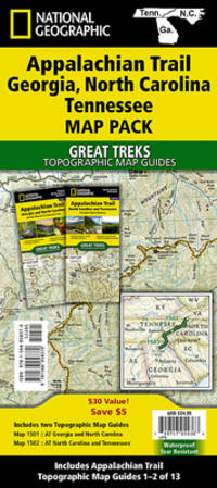
National Geographic Maps - Trails Illust
Appalachian Trail: Georgia North Carolina Tennessee Map Pack Bundle National Geographic Trails Illustrated Map
National Geographic Maps. New. Special order direct from the distributor National Geographic Maps unknown
Référence libraire : ING9781566958370 ISBN : 1566958377 9781566958370
|
|
|
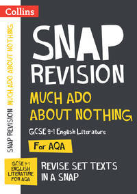
Collins Maps
Much Ado About Nothing AQA GCSE 9-1 English Literature Text Guide: Ideal for home learning 2022 and 2023 exams Collins GCSE Grade 9-1 SNAP Revision
Collins 2022. Paperback. New. 5x0x8. Paperback. An unused unmarked and unblemished copy.; 100% Satisfaction Guaranteed! Ships same or next business day! Collins paperback
Référence libraire : 132410300017 ISBN : 000852033X 9780008520335
|
|
|
A-Z Maps
Bristol and Bath A-Z Street Atlas
Paperback / softback. New. New Book; Fast Shipping from UK; Not signed; Not First Edition; Navigate your way around Bristol and Bath with this detailed and easy-to-use A-Z Street Atlas. Printed in full-colour paperback format this atlas contains 104 pages of continuous street mapping. More than 12800 streets in paperback
Référence libraire : ria9780008560447_inp ISBN : 0008560447 9780008560447

|
|
|
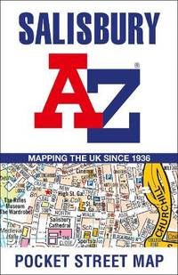
A-Z Maps
Salisbury A-Z Pocket Street Map
Sheet map folded. New. New Book; Fast Shipping from UK; Not signed; Not First Edition; Navigate your way around Salisbury with detailed street maps from A-Z unknown
Référence libraire : ria9780008560522_inp ISBN : 0008560528 9780008560522
|
|
|
A-Z Maps
Cornwall A-Z Visitors Map
Sheet map folded. New. New Book; Fast Shipping from UK; Not signed; Not First Edition; Explore the whole county and area extending into Devon as far as Great Torrington Tavistock and Plymouth. This detailed and up-to-date map contains more than 1000 places of interest and an index to 3000 towns and villages. unknown
Référence libraire : ria9780008653118_inp ISBN : 0008653119 9780008653118

|
|
|
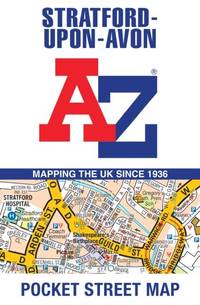
A-Z Maps
Stratford-Upon-Avon A-Z Pocket Street Map
Sheet map folded. New. New Book; Fast Shipping from UK; Not signed; Not First Edition; Navigate your way around Stratford-upon-Avon with detailed street maps from A-Z unknown
Référence libraire : ria9780008657468_inp ISBN : 0008657467 9780008657468
|
|
|
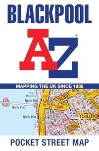
A-Z Maps
Blackpool A-Z Pocket Street Map
Sheet map folded. New. New Book; Fast Shipping from UK; Not signed; Not First Edition; Navigate your way around Blackpool with detailed street maps from A-Z. unknown
Référence libraire : ria9780008657369_inp ISBN : 000865736x 9780008657369
|
|
|
Beddow, Dominic & Collins Maps
Discovering Glasgow Illustrated Map: Ideal for exploring
Collins. Second edition. Map. Used; Very Good. Simply Brit welcome to our online used book store where affordability meets great quality. Dive into a world of captivating reads without breaking the bank. We take pride in offering a wide selection of used books from classics to hidden gems ensuring theres something for every literary palate. All orders are shipped within 24 hours and our lightning fast-delivery within 48 hours coupled with our prompt customer service ensures a smooth journey from ordering to delivery. Discover the joy of reading with us your trusted source for affordable books that do not compromise on quality. 02/08/2018 Collins unknown
Référence libraire : 3675073 ISBN : 0008266913 9780008266912

|
|
|
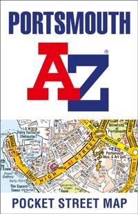
A-Z Maps
Portsmouth A-Z Pocket Street Map
Sheet map folded. New. New Book; Fast Shipping from UK; Not signed; Not First Edition; Navigate your way around Portsmouth with detailed street maps from A-Z unknown
Référence libraire : ria9780008445287_inp ISBN : 0008445281 9780008445287
|
|
|
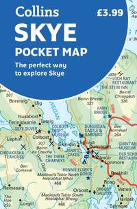
Collins Maps
Skye Pocket Map
Paperback / softback. New. New Book; Fast Shipping from UK; Not signed; Not First Edition; Handy little full colour Collins map of Skye with a high level of detail. Clear mapping of the Isle of Skye showing the road network ferries and places of interest. Map at a scale of 1:175 000 3 miles to 1 inch. paperback
Référence libraire : ria9780008492595_inp ISBN : 000849259x 9780008492595
|
|
|
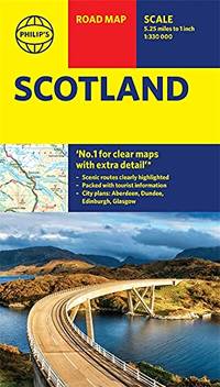
Philip's Maps
Philip's Scotland Road Map Philip's Sheet Maps
Paperback. Very Good. paperback
Référence libraire : GOR013302536 ISBN : 1849075514 9781849075510
|
|
|
Thomas DipPubPol PhD MAPS, Shane A
How to Write Health Sciences Papers Dissertations and Theses
Churchill Livingstone 2000-06-20. Paperback. Very Good. Paperback. Pages are clean and unmarked. Covers show very minor shelving wear a slight bend in the book.; 100% Satisfaction Guaranteed! Ships same or next business day! Churchill Livingstone paperback
Référence libraire : 142203250041 ISBN : 0443062838 9780443062834
|
|
|
Bliven, Bruce, Jr.; Maps and Photos [Illustrator]
From Pearl Harbor To Okinawa
Random House 1960-01-01. Hardcover. Good/Acceptable. 8x5x1. Hardbound with dust jacket. Book with limited gentle wear; pages unmarked. Jacket with general wear and tear. Random House hardcover
Référence libraire : 72502
|
|
|
Benchmark Maps
Montana Road and Recreation Atlas - 6th Edition 2024 Benchmark
Benchmark Maps 2024-01-01. 6th Edition 2024. paperback. Used: Good. 10.50x0.40x15.20. Buy with confidence. Excellent Customer Service & Return policy. Benchmark Maps paperback
Référence libraire : SONG1734315075 ISBN : 1734315075 9781734315073
|
|
|
Benchmark Maps and Atlases
Montana Road & Recreation Atlas Benchmark Recreation Atlases
Benchmark 2017-01-01. 2017. map. Used: Good. 10.75x0.50x15.50. Buy with confidence. Excellent Customer Service & Return policy. Benchmark unknown
Référence libraire : SONG0929591178 ISBN : 0929591178 9780929591179
|
|
|
Darvill, Fred T.; b/w Maps [Illustrator]
North Cascades Highway Guide
Reliance Printers 1973-01-01. Paperback. Good. Good condition with some wear to cover. Reliance Printers paperback
Référence libraire : 20-28357
|
|
|
National Geographic Maps - Adventure
Ecuador and Galapagos Islands Map National Geographic Adventure Map 3403
National Geographic 2022-01-01. 2022. map. Used: Good. 9.25x0.16x4.25. Buy with confidence. Excellent Customer Service & Return policy. National Geographic unknown
Référence libraire : SONG1566955475 ISBN : 1566955475 9781566955478
|
|
|
McDermott, John W.; Illustrated by B&w maps. [Illustrator]
How to Get Lost and Found in Fiji
Waikiki 1978-01-01. Paperback. New. In shrink wrap. Waikiki paperback
Référence libraire : COD-00178
|
|
|
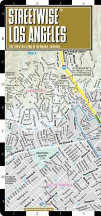
Streetwise Maps
Streetwise Los Angeles Map - Laminated City Center Street Map of Los Angeles California
map. Good. Access codes and supplements are not guaranteed with used items. May be an ex-library book. unknown
Référence libraire : 1931257167.G ISBN : 1931257167 9781931257169
|
|
|
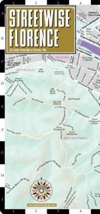
Streetwise Maps
Streetwise Florence Map - Laminated City Center Street Map of Florence Italy - Folding pocket size travel map with train tracks & stations
map. Good. Access codes and supplements are not guaranteed with used items. May be an ex-library book. unknown
Référence libraire : 1931257353.G ISBN : 1931257353 9781931257350
|
|
|
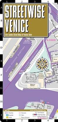
Streetwise Maps
Streetwise Venice Map - Laminated City Center Street Map of Venice Italy
map. Good. Access codes and supplements are not guaranteed with used items. May be an ex-library book. unknown
Référence libraire : 1931257493.G ISBN : 1931257493 9781931257497
|
|
|
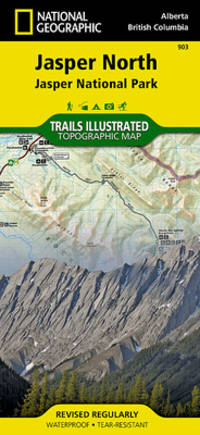
National Geographic Maps - Trails Illustrated
Jasper North Map Jasper National Park National Geographic Trails Illustrated Map 903
map. Good. Access codes and supplements are not guaranteed with used items. May be an ex-library book. unknown
Référence libraire : 1566956617.G ISBN : 1566956617 9781566956611
|
|
|
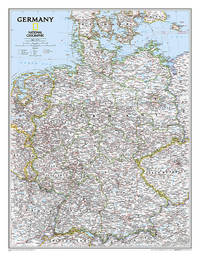
National Geographic Maps - Reference
National Geographic Germany Wall Map - Classic - Laminated 23.5 x 30.25 in National Geographic Reference Map
map. Good. Access codes and supplements are not guaranteed with used items. May be an ex-library book. unknown
Référence libraire : 0792250265.G ISBN : 0792250265 9780792250265
|
|
|
AZ maps & A-Z Maps
London A-Z Street Atlas
Geographers A-Z Map Co Ltd. Paperback. Used; Good. Simply Brit welcome to our online used book store where affordability meets great quality. Dive into a world of captivating reads without breaking the bank. We take pride in offering a wide selection of used books from classics to hidden gems ensuring theres something for every literary palate. All orders are shipped within 24 hours and our lightning fast-delivery within 48 hours coupled with our prompt customer service ensures a smooth journey from ordering to delivery. Discover the joy of reading with us your trusted source for affordable books that do not compromise on quality. 03/05/2020 Geographers A-Z Map Co Ltd paperback
Référence libraire : 3210342 ISBN : 0008387990 9780008387990

|
|
|
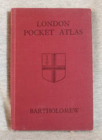
Bartholomew, John and Son
London Pocket Atlas
Edinburgh: John Bartholomew and Son 1947. Hardcover. Very Good/no jacket. Red cloth with black title 37 pages of street maps 81-page index to streets and buildings 7-in tall. Includes supplementary index to street name changes. Street maps show location of railways and underground. A clean copy with minor wear to the covers. John Bartholomew and Son hardcover
Référence libraire : 002358
|
|
|
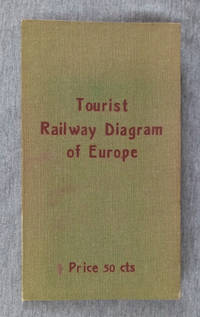
Peters, Al.
Tourist Railway Diagram of Europe Showing the Fares-Times-Distances Between Principal Cities Usually Visited By Americans
Berlin: Hobbing & Co. 1910. Hardcover. Good/no jacket. Green cloth over flexible card with red title 7.5 in tall folded map of Europe affixed to inside of rear cover. No date of publication given the map configuration showing Bohemia as part of Austria indicates a pre-World War I date. The map 22x23 in. shows the railway fares times and distances between cities. Also transatlantic steamer ports are underlined in red giving the name of steamship lines calling there. More detailed fare information for each country on reverse side. A clean map with 3 short tears at fold lines. Covers with brown tone at edges. Hobbing & Co. hardcover
Référence libraire : 002299
|
|
|
B & B Maps Canada
The Illustrated Winnipeg GuideMap Atlas : A Complete Street Guide and Index of Greater Winnipeg
Canada: B & B Maps Canada 1983 General age but unmarked and in overall good to very good condition B & B Maps Canada paperback
Référence libraire : 019491
|
|
|
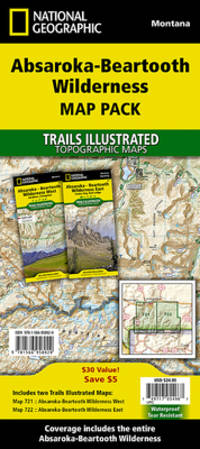
National Geographic Maps - Trails Illustrated
Absorka-Beartooth Wilderness Map Pack Bundle National Geographic Trails Illustrated Map
map. Good. Access codes and supplements are not guaranteed with used items. May be an ex-library book. unknown
Référence libraire : 156695892X.G ISBN : 156695892X 9781566958929
|
|
|
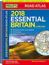
Philip's Maps
Philip's 2018 Essential Road Atlas Britain and Ireland - Spiral A4: Spiral binding Philips Road Atlas
Paperback. Good. paperback
Référence libraire : GOR010181135 ISBN : 1849074593 9781849074599
|
|
|
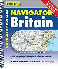
Philip's Maps
Philip's Navigator Britain Easy Use Format: Spiral Philip's Road Atlases
Paperback. Very Good. paperback
Référence libraire : GOR010199099 ISBN : 1849075107 9781849075107
|
|
|
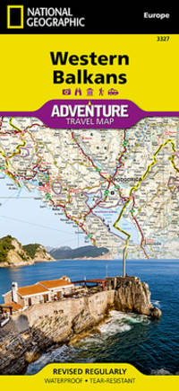
National Geographic Maps - Adventure
Western Balkans National Geographic Adventure Map 3327
Natl Geographic Society Maps. New. Special order direct from the distributor Natl Geographic Society Maps unknown
Référence libraire : ING9781566957335 ISBN : 1566957338 9781566957335
|
|
|
Text And Maps By William Henry Burt
A FIELD GUIDE TO THE MAMMALS. GIVING FIELD MARKS OF ALL SPECIES FOUND NORTH OF THE MEXICAN BOUNDARY.
Boston : Houghton Mifflin Company 1952. 1st Edition . Hardcover. Very Good/No Jacket. Color plates b & w Photos . 1st Edition. 12mo - over 6¾" - 7¾" tall. A classic in the Peterson Field Guide Series. <br/> <br/> Houghton Mifflin Company, hardcover
Référence libraire : 002765

|
|
|
Philip's Maps
Philip's 2018 Essential Road Atlas Britain and Ireland - Spiral A4: Spiral binding Philips Road Atlas
Paperback. Very Good. paperback
Référence libraire : GOR009489923 ISBN : 1849074593 9781849074599

|
|
|
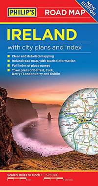
Philip's Maps
Philip's Ireland Road Map Philip's Sheet Maps
Paperback. Very Good. paperback
Référence libraire : GOR009269434 ISBN : 1849074410 9781849074414
|
|
|
Collins Maps
River Thames and Southern Waterways No. 7 Collins Nicholson Waterways Guides
Nicholson 02/13/2014. Spi Rep. Spiral-bound. Used; Good. WE SHIP WITHIN 24 HRS FROM LONDON UK 98% OF OUR ORDERS ARE RECEIVED WITHIN 7-10 DAYS. We believe you will be completely satisfied with our quick and reliable service. All orders are dispatched as swiftly as possible! Buy with confidence! Greener Books. Nicholson unknown
Référence libraire : 3224473 ISBN : 0007493819 9780007493814
|
|
|
Collins Maps
Collins Childrens Picture Atlas
Collins. Hardcover. Used; Good. Simply Brit welcome to our online used book store where affordability meets great quality. Dive into a world of captivating reads without breaking the bank. We take pride in offering a wide selection of used books from classics to hidden gems ensuring theres something for every literary palate. All orders are shipped within 24 hours and our lightning fast-delivery within 48 hours coupled with our prompt customer service ensures a smooth journey from ordering to delivery. Discover the joy of reading with us your trusted source for affordable books that do not compromise on quality. 07/05/2012 Collins hardcover
Référence libraire : 1612954 ISBN : 0007479441 9780007479443

|
|
 Recevoir par e-mail
 Télécharger en PDF
 Flux RSS


