|
Le R. P. Sanson
Conférences de Notre-Dame de Paris I- methode a suivre et attitude a prendre
Editions Spes Sans date.
Referenz des Buchhändlers : 500360696

|
|
|
Le R. P. Sanson
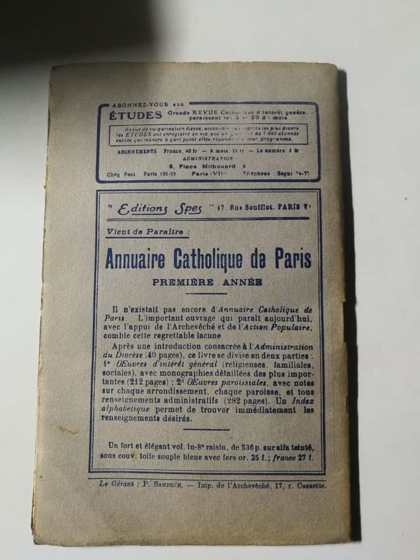
Conférences de Notre-Dame de Paris II- la conception chretienne de l'homme et le dieu : la trinite
Editions Spes Sans date.
Referenz des Buchhändlers : 500360697
|
|
|
Le R. P. Sanson
Conférences de Notre-Dame de Paris III- la conception chretienne de la creation l'inarnation
Editions Spes Sans date.
Referenz des Buchhändlers : 500360698

|
|
|
Le R. P. Sanson
Conférences de Notre-Dame de Paris IV-le probleme du mal le poche originel
Editions Spes Sans date. Cet ouvrage rassemble les conférences données par le Révérend Père Pierre Sanson à Notre-Dame de Paris pendant le Carême de 1927. Il propose une réflexion métaphysique sur le christianisme et la charité publié par les éditions Spes
Referenz des Buchhändlers : 500361202

|
|
|
Le R. P. Sanson
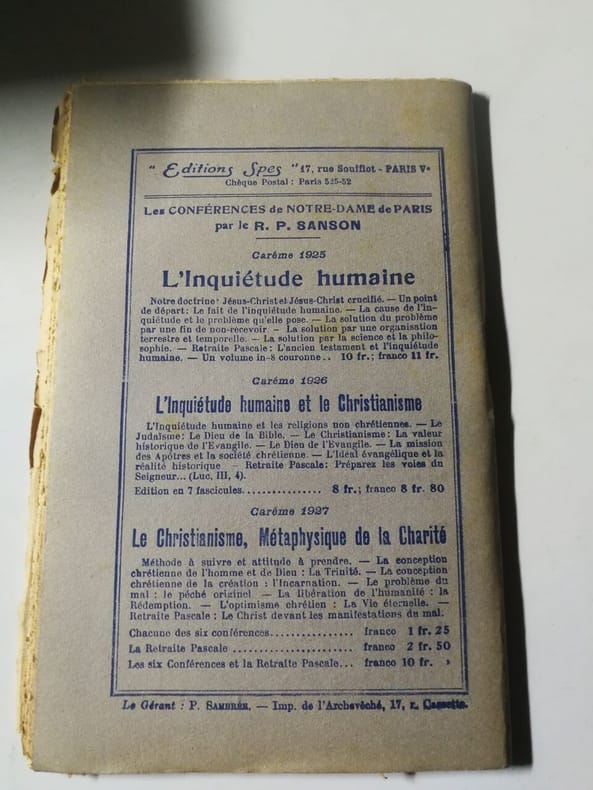
Conférences de Notre-Dame de Paris retraite pascale le christ devant les manifestationx du mal
Editions Spes Sans date.
Referenz des Buchhändlers : 500360693
|
|
|
Le R. P. Sanson
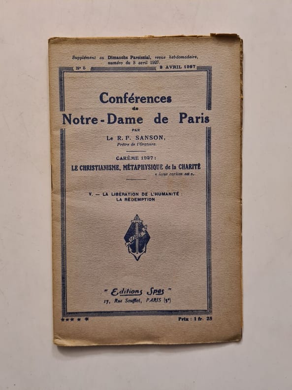
Conférences de Notre-Dame de Paris V- La liberation de l'humanite la redempition
Editions Spes Sans date. Cet ouvrage rassemble les conférences données par le Révérend Père Pierre Sanson à Notre-Dame de Paris pendant le Carême de 1927. Il propose une réflexion métaphysique sur le christianisme et la charité publié par les éditions Spes
Referenz des Buchhändlers : 500361203
|
|
|
Le R. P. Sanson
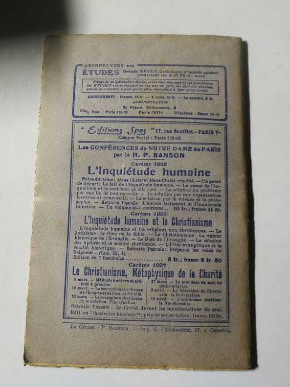
Conférences de Notre-Dame de Paris VI l'optimisme chretien: La vie eternelle
Editions Spes Sans date.
Referenz des Buchhändlers : 500360687
|
|
|
Le R. P. Sanson
Conférences de Notre-Dame de Paris. Carême 1926 : L'inquiétude humaine et le christianisme. Retraite pascale "Préparez les voies du Seigneur" (Luc III)
Editions Spes Sans date.
Referenz des Buchhändlers : 500360695

|
|
|
Le R. P. Sanson Prêtre de l'Oratoire
Conférences de Notre-Dame de Paris: L'inquiétude humaine et le christianisme
Editions Spes Sans date.
Referenz des Buchhändlers : 500360694

|
|
|
LECHERBONNIER Bernard
Bourreaux de père en fils - Les Sanson (1688-1847)
Albin Michel, 1989, in-8 br. (14,5 x 22,5), 387 p., ex-libris, bon état.
Referenz des Buchhändlers : QWA-18448

|
|
|
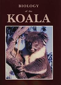
Lee, A K (editor); Handasyde, Kathrine (editor); Sanson, G D (editor).
Biology of the Koala.
Sydney Chipping Norton: Surrey Beatty & Sons / World Koala Research Corporation 1991. c1990 for 91 ed. Hardback large tall quarto dustjacket very good condition in very good dustjacket three colour plates black & white photos & plates black & white drawings figures tables frontispiece drawing front & rear endpaper minimal foxed spots edges few tiny pinhead marks pastedowns. Heavy 1.4 Kg and extra postage may be requested to destinations outside Australia. 336 pp. This fascinating comprehensive and substantial book gives a current view of the biology conservation and care of koalas. There is a reassessment of the phylogenetic affinities of the koala; several contributions reviewing the dynamics and status of natural populations; reassessments of our knowledge of diet; a substantial review of digestion which sheds new light on digestive function in hind gut fermenters; the first description of the social system in natural populations of koalas; new information on the endocrine control of reproduction; a substantial body of information on the impact of Chlamydia on koalas; and papers on management. The text includes 31 papers from experienced scientists who have worked in their respective fields. This reference volume emanates from the Third National Symposium sponsored by the World Koala Research Corporation held in February 1988. Surrey Beatty & Sons / World Koala Research Corporation hardcover
Referenz des Buchhändlers : 30970 ISBN : 0949324345 9780949324344
|
|
|
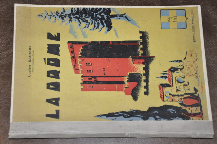
Lucien SANSON
LA DRÔME . GEOGRAPHIE DU DEPARTEMENT DE LA DRÔME
RAMBAUD editeur à Romans . "Cours du collège , Cours préparatoire du collège technique , classe du C.E.P et fin d'études primaires" . Carte physique .Reliure cartonnée illustrée de la tour de Crest . Dos toilé . 104 pages . Edition apres guerre sans date avavant 1950 Parfait état .
Referenz des Buchhändlers : 5823
|
|
|
M. l' abbé Sanson, directeur De communauté
Le bonheur Des Maisons Religieuses Ou Avis Propres à Diriger Les Religieuses Vocales Dans Le Choiix Des Sujet, La Formation Des Novices et Le Gouvernement d' Une communauté
Gustave Martin reliure Rigide Décorative Paris 1842 348 pages en format 11 - 17 cm - cachet - reliure rigide en cuir avec dos et titre en dorure - BE
Referenz des Buchhändlers : 015860
|
|
|
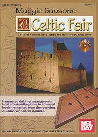
Maggie Sanson
A Celtic Fair
paperback. Good. Access codes and supplements are not guaranteed with used items. May be an ex-library book. paperback
Referenz des Buchhändlers : 0786649941.G ISBN : 0786649941 9780786649945
|
|
|
Meldolesi Ivo
Totò - Yvonne Sanson (senza titolo)
Foto scattata sul set del film “L’imperatore di Capri” diretto da Luigi Comencini con Totò, nato Antonio De Curtis, Marisa Merlini e prodotto da Carlo Ponti. Lux Film. Al retro timbro "Copyright New York Time Photos Ivo Meldolesi Rappresentante esclusivo per l'Italia...". Sempre al retro vi è attaccata l'etichetta orignale del film che ne garantisce l'originalità

|
|
|
Meldolesi Ivo
Yvonne Sanson (senza titolo)
Fotografia originale scattata sul set del film “L’imperatore di Capri” diretto da Luigi Comencini con Totò e Marisa Merlini prodotto da Carlo Ponti. Lux Film. Al retro Foto Ivo Meldolesi - Roma

|
|
|
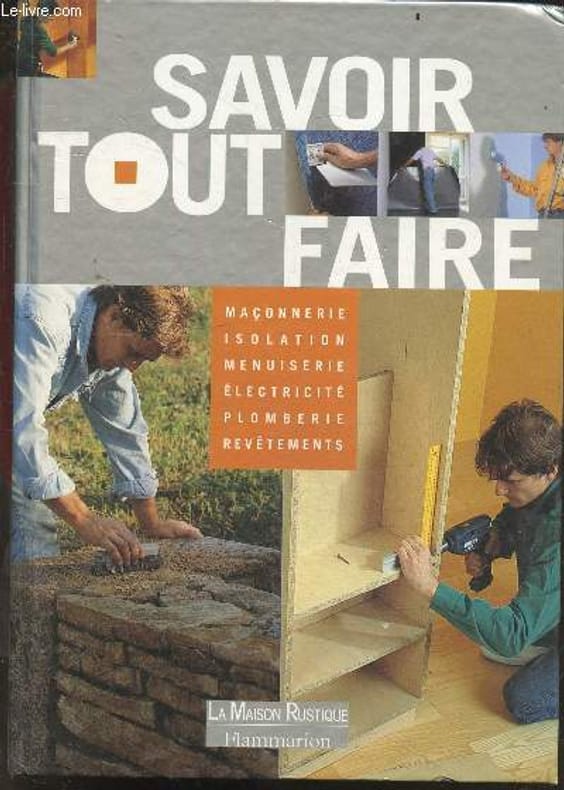
Michel Beauvais, beraud aline, sanson robert, ...
Savoir tout faire - maconnerie, isolation, menuiserie, electricite, plomberie, revetements muraux et de sol, chauffage, les facades, l'exterieur
LA MAISON RUSTIQUE / FLAMMARION. 2000. In-4. Relié. Etat d'usage, Couv. convenable, Dos fané, Rousseurs. 287 pages - texte sur plusieurs colonnes - nombreuses photos couleur, dans et hors texte. . . . Classification Dewey : 684-Ameublement, bricolage à la maison
Referenz des Buchhändlers : RO20264237
|
|
|
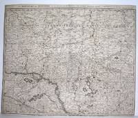
Mortier, Pierre - Sanson
Le Royaume de Hongrie sur les Memoires de Mr. Sanson. Par Pierre Mortier Geographe A Amsterdam
Amsterdam 1690. Good; fold reinforced. Size : 480x596 mm 18.875x23.5 Inches Coloring: Black & White Category: ; Maps Europe Hungary; Maps Europe Poland Lithuania unknown
Referenz des Buchhändlers : M2919
|
|
|
Moullart-Sanson, Pierre (16..-1730) / Sanson, Guillaume (1633-1703)
ASIE- Carte ancienne - Chodorlahomoris Aelamitarum regis et confoederatorum regna seu Aelamitarum imperium / Gulielmo Sanson (Arménie - Mesopotamie - Palestine - Arabie saoudite)
Parisiis, Delineabat Petrus Moullart-Sanson , 1712, 55x75cm, Carte colorisée. Pliure centrale. Bon état.
Referenz des Buchhändlers : 82342

|
|
|
Météorologie Nationale - O. N. M.J. Sanson
La météorologie au service de l'agriculture. Rapport présenté le 25 Octobre 1945 au Comité National de l'Organisation Française (Journée d'Etudes de l'Agriculture), par J. Sanson (Ingénieur Agronome, Sous-directeur de l'O. N. M.)
1967 A l'O. N. M. - 196, rue de l'Université. Paris 7e - 1946 - in-4 broché - 20 pages + hors texte dépliant
Referenz des Buchhändlers : 69820
|
|
|
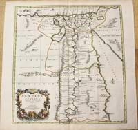
N Sanson
Aegyptus Antiqua Divisa in Nomos.
Amsterdam: Covens & Mortier c.1696. Very Good. Size : 485x450 mm 19.09x17.72 Inches Coloring: Hand Colored Category: Maps Africa North Egypt; Covens & Mortier unknown
Referenz des Buchhändlers : M10206
|
|
|
N Sanson
Anaplus Bosphori Thracii ex indagationibus Petri Greece Delineatus a Gulielmo sanson nic filio regis christianissimi geographo Lutetia Parisiorum Apud Petrum Mariette Via Iacobaea sub signo spei cum privilegio ad 20 annos
Paris : Pierre Mariette c. 1696. Very Good. Notes: Fine detailed map of the straight of the Bosphorus and the city of Constantinople. Size : 405x528 mm 15.94x20.79 Inches Coloring: Hand Colored Category: Maps Asia Near East Turkey; Pierre Mariette unknown
Referenz des Buchhändlers : M8798
|
|
|
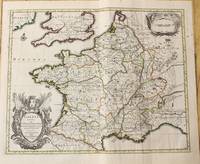
N Sanson
Gallia Vetus ex C.Iulii Caesaris Comentariis Descripta
Amsterdam: Jean Covens & Corneille Mortier c.1710. Very Good. Size : 378x486 mm 14.88x19.13 Inches Coloring: Original Outline Coloring Category: Maps Europe France; Jean Covens & Corneille Mortier unknown
Referenz des Buchhändlers : M10329
|
|
|
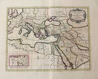
N Sanson
Geographiae Sacrae ex Veteri et Novo Testamento desumptae Descriptio.
Amsterdam: Jean Covens & Corneille Mortier c.1710. Very Good. Size : 402x520 mm 15.83x20.47 Inches Coloring: Original Hand Coloring Category: Maps Mediterranean Sea; Maps Asia Middle East; Jean Covens & Corneille Mortier unknown
Referenz des Buchhändlers : M10321
|
|
|
N Sanson
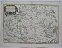
Germano-Sarmatia in qua Populi Maiores Vendi et Aestiaei Peucini et Bastarnae in Minores Populos divisi . . .
Paris 1655. Excellent. Size : 395x560 mm 15.5x22 Inches Coloring: Original Outline Coloring Category: ; Maps Europe Poland Lithuania unknown
Referenz des Buchhändlers : M5101
|
|
|
N Sanson
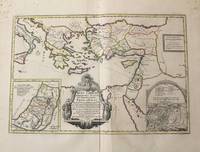
Iesu Christi Salvatoris Nostri Et Apostolorum Petri et Pauli.
Amsterdam: Jean Covens & Corneille Mortier c.1710. Very Good. Notes: With 2 inset maps showing the Holy Land and Hierusalem. Size : 375x550 mm 14.76x21.65 Inches Coloring: Original Hand Coloring Category: Maps Asia Near East Turkey; Maps Asia Middle East Holy Land & Palestine; Maps Mediterranean Sea; Jean Covens & Corneille Mortier unknown
Referenz des Buchhändlers : M10319
|
|
|
N Sanson
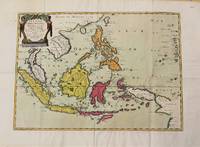
Les Isles Philippines Molucques et de la Sonde.
Paris 1654. Very Good. Notes: Detailed map of Southeast Asia by Nicholas Sanson 1600-1667 renowned French cartographer. Size : 402x560 mm 15.83x22.05 Inches Coloring: Original Hand Coloring Category: Maps Asia South East Indonesia & Papua New Guinea; Maps Asia South East Thailand Laos Vietnam Cambodia & Burma / Myanmar; Maps Asia South East Philippines; unknown
Referenz des Buchhändlers : M10780
|
|
|
N Sanson
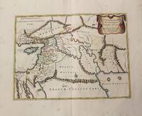
Patriarchatus Antiocheni. Geographica descriptio.
Amsterdam: Jean Covens & Corneille Mortier c.1710. Very Good. Size : 370x493 mm 14.57x19.41 Inches Coloring: Original Hand Coloring Category: Maps Asia Middle East Holy Land & Palestine; Maps Asia Middle East Iran Iraq; Jean Covens & Corneille Mortier unknown
Referenz des Buchhändlers : M10250
|
|
|
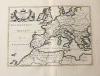
N Sanson
Patriarchatus Romanus
Amsterdam: Jean Covens & Corneille Mortier c.1710. Very Good. Size : 375x525 mm 14.76x20.67 Inches Coloring: Original Hand Coloring Category: Maps Africa North; Maps Europe Continent; Maps Mediterranean Sea; Jean Covens & Corneille Mortier unknown
Referenz des Buchhändlers : M10326
|
|
|
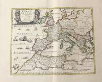
N Sanson
Romani Imperii Qua Occidens est Descriptio Geographica.
Amsterdam: Jean Covens & Corneille Mortier c.1710. Very Good. Size : 410x508 mm 16.14x20.00 Inches Coloring: Original Outline Coloring Category: Maps Africa North; Maps Europe Continent; Maps Mediterranean Sea; Jean Covens & Corneille Mortier unknown
Referenz des Buchhändlers : M10331
|
|
|
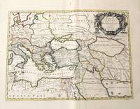
N Sanson
Romani Imperii qua Oriens est Descriptio Geographica
Amsterdam: Jean Covens & Corneille Mortier c.1710. Very Good. Size : 403x555 mm 15.87x21.85 Inches Coloring: Original Outline Coloring Category: Maps Mediterranean Sea; Maps Asia Middle East; Jean Covens & Corneille Mortier unknown
Referenz des Buchhändlers : M10332
|
|
|
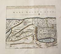
N Sanson
Situs Terrae Canaan Sive Terrae Promissionis Hodie Palaestinae S S.Bibliorum intelligentiam exacte.
Paris: Jean Covens & Corneille Mortier c.1710. Very Good. Size : 397x460 mm 15.63x18.11 Inches Coloring: Hand Colored Category: Maps Asia Middle East Holy Land & Palestine; Jean Covens & Corneille Mortier unknown
Referenz des Buchhändlers : M10273
|
|
|
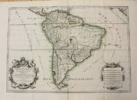
N Sanson; HJaillot H J
Amerique Meridionale divisee en ses Principales Parties ou sont ditingues les uns des autres Les Estats suivant qu'ils appartienent presentement aux Francois Castillans Portugals Hollandois &c.
Paris 1698. Very Good. Notes: A charming large scale 17th century map of South America with two decorative cartouches and original outline colouring. Size : 460x648 mm 18.11x25.51 Inches Coloring: Original Outline Coloring Category: Maps South America Continent; unknown
Referenz des Buchhändlers : M10786
|
|
|
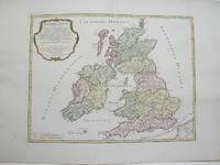
N Sanson; Robert Vaugondy
Britannicae Insulae
Paris 1754. Excellent. Size : 410x540 mm 16.125x21.25 Inches Coloring: Hand Colored Category: ; Maps Europe Ireland;; Maps Europe United Kingdom unknown
Referenz des Buchhändlers : M3766
|
|
|
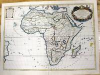
N Sanson; Hubert Jaillot
L'Afrique divisee suivant l'estendue de ses Principales Parties
Paris c.1700. Very Good. Notes: French map of Africa as a continent. Size : 462x645 mm 18.19x25.39 Inches Coloring: Hand Colored Category: Maps Africa Continent; unknown
Referenz des Buchhändlers : M11022
|
|
|
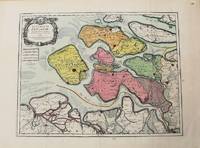
N Sanson; HJaillot H J
Le Comte De Zeelande Dressee sur les Memoires les plus nouveaux.
Paris 1693. Very Good. Notes: Map of the county of Zeeland. Size : 440x575 mm 17.32x22.64 Inches Coloring: Original Hand Coloring Category: Maps Europe Benelux; unknown
Referenz des Buchhändlers : M10774
|
|
|
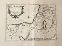
N Sanson; MTavernier M T
Patriarchatus Hierosolymitani Geographica descriptio
Amsterdam: Jean Covens & Corneille Mortier c.1710. Very Good. Size : 368x495 mm 14.49x19.49 Inches Coloring: Original Outline Coloring Category: Maps Asia Middle East Holy Land & Palestine; Maps Africa North; Maps Africa North Egypt; Jean Covens & Corneille Mortier unknown
Referenz des Buchhändlers : M10330
|
|
|
N Sanson; S Jallot
Tabula nova partis meridionalis episcopatus carnutensis ad usum serenissimi Burgundiae Ducis
Paris: H. Jaillot c.1690. Very Good with some minor discoloration. Notes: Map of North-Central France Size : 460x610 mm 18.11x24.02 Inches Coloring: Original Hand Coloring Category: Maps Europe France; H. Jaillot unknown
Referenz des Buchhändlers : M7990
|
|
|
N.Sanson
Partie Meridionale De L'Inde En Deux Presqu'Isles ...
India & South East Asia, Paris, 1654 -1679, copperplate, Original o/l colour. 52.5 x 38cms [21 x 15ins] A good map of peninsula India, Ceylon and Southeast Asia including Sumatra and present-day Singapore from Nicolas Sanson's "Cartes Generales ...". Sanson was the major French mapmaker of the period and produced a number of important maps from information supplied by travellers and missionaries. This map marks an advance on those being produced in Amsterdam based on details from the 1620s and 30s.
Referenz des Buchhändlers : 14036
|
|
|
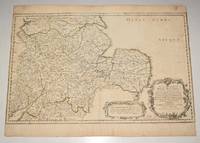
Nicholas Sanson
"Anciens Royaumes de Mercie et East Angles ou sont les Comtes ou Shiries de Chester Darby Nottingham Lincolne Rutland Leicester Stafford Shrop-Sh Hereford Worcester Warwick Northampton Huntington Bedford Buskingham Oxford et Glocester en Mercie Cambridge Norfolk et Suffolk en East Angles". Decorative map of central England from Norwich in the East to Cardiff in the West.
PARIS Chez l’Auteur 1654. Title cartouche to lower right corner. Blank on verso. In good condition. Some light tanning on edges with a few faint foxing marks. With original outline hand colouring. Engraved Size 17.5 x 23 inches Nicolas Sanson 1600-1667 sometimes called Nicolas Sanson d'Abbeville or Sanson d'Abbeville was the most important French cartographer of the 17th century. Tooley called Sanson "the founder of the French school of cartography." He began making maps in the late 1620s and in the 1630s he was working with Melchior Tavernier. Later Sanson worked in concert with the print publisher Pierre Mariette with whom he published his great atlas: Cartes générales de toutes les parties du monde 1658. After Sanson's death in 1667 his son Guillaume carried on the business in partnership with Alexis Hubert Jaillot. Guillaume established himself as a very important French mapmaker in his own right. PARIS Chez l’Auteur 1654. unknown
Referenz des Buchhändlers : 90475
|
|
|
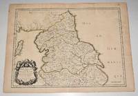
Nicholas Sanson
'Ancien Royaume de Northumberland aujourdhuy Provinces de Nort. Engraved map of northern England focusing on Northumberland.
PARIS Chez l’Auteur 1654. Title cartouche to lower left corner. Blank on verso. In good condition. Some light tanning on edges with a few faint foxing marks. A few hole top of centre fold on map. Small neatly repair tear lower margin and small hole top margin. With original outline hand colouring. Engraved Size 17.5 x 23 inches Nicolas Sanson 1600-1667 sometimes called Nicolas Sanson d'Abbeville or Sanson d'Abbeville was the most important French cartographer of the 17th century. Tooley called Sanson "the founder of the French school of cartography." He began making maps in the late 1620s and in the 1630s he was working with Melchior Tavernier. Later Sanson worked in concert with the print publisher Pierre Mariette with whom he published his great atlas: Cartes générales de toutes les parties du monde 1658. After Sanson's death in 1667 his son Guillaume carried on the business in partnership with Alexis Hubert Jaillot. Guillaume established himself as a very important French mapmaker in his own right. PARIS Chez l’Auteur 1654. unknown
Referenz des Buchhändlers : 90476
|
|
|
Nicholas Sanson (1600-1667).
Basse Lombardie où sont les Estats de Venise en Italie Mantove Parme Modène Trente 17th Century Map.
Paris: 17th Century European Publisher 1648. 22 x 16 inches. Very Good. 17th Century hand colored map of Lower Lombardy. Some toning and two one-inch tears at bottom edge. Text in French. Scarce.Nicholas Sanson 1600-1667 is considered the father of French cartography in its golden age from the mid-seventeenth century to the mid-eighteenth. Over the course of his career he produced over 300 maps. His success can be chalked up to his geographic and research skills but also to his partnership with Pierre Mariette. Previously Sanson had worked primarily with the publisher Melchior Tavernier. Mariette purchased Tavernier’s business in 1644. Sanson worked with Mariette until 1657 when the latter died. Mariette’s son also Pierre helped to publish the Cartes générales de toutes les parties du monde. [Paris]: 17th Century European Publisher, [1648]. unknown
Referenz des Buchhändlers : 18-1027

|
|
|
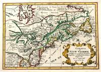
Nicholas Sanson (1600-1667)
Canada of Niew Vrankryk Getrokken Uit Verscheide Fransche Engelsche en Hollandsche Beschryvingen Enz.
Amsterdam c.1705. Very Good. Notes: A reduced version of the most influential 17th century maps of the French and English colonies in North America. The map not only shows details of the Great Lakes but also it is a great source for Indian tribal names and locations. Two names Aouentsiouaeron and Attiouandarons appear here for the first time. Lake Superior and Michigan Lac du Puans are left open-end to the west. It is engraved by Anthony d'Winter. Size : 207x300 mm 8.15x11.81 Inches Coloring: Hand Colored Reference: Burden #575; Kershaw #138. Category: Maps Canada East; Maps North America Great Lakes; unknown
Referenz des Buchhändlers : M11241
|
|
|
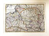
Nicholas Sanson (1600-1667)
Estats de la couronne de Pologne
Paris c.1683. Very Good. Notes: French map showing Poland and the surrounding region.<br>Nicolas Sanson 1600–1667 was a renowned French cartographer termed by some as the "father of French cartography." His works are known for their incorporation of the most up to date information of the time and their clean modern style. Size : 188x256 mm 7.40x10.08 Inches Coloring: Hand Colored Category: Maps Europe Poland Lithuania; unknown
Referenz des Buchhändlers : M11172
|
|
|
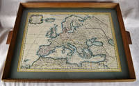
Nicholas Sanson; Pierre Mariette
Europa Vetus ex Conatih. Geographicis N. Sanson Abbavillaei. Christianiss. Galhiar. Regis Geographi Original Colored Map Framed Under Glass
Petrum Mariette: Lutetiae Parisiorum 1650. First Edition. Maps. Very Good. Ancient Europe : The Roman Empire Fine hand-colored double-page engraved map of Roman provinces of Europe. Mounted in wood frame with wooden side handles. Dimensions of mounted image: 40 x 56 cm. 53 x 69.5 cm in frame. Latin province names cities seas. This is an oversized or heavy book which requires additional postage for international delivery outside the US. Petrum Mariette: Lutetiae Parisiorum unknown
Referenz des Buchhändlers : 2312280001
|
|
|
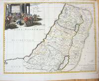
Nicholas Sanson (1600-1667)
Geographiae Sacrae ex V.& N. Test Desumptae Tabula Secunda in qua Terra Promissa.
Paris 1660. Very Good;. Notes: French map of the Holy Land with a decorative cartouche.<br><br>Nicolas Sanson 1600–1667 was a renowned French cartographer termed by some as the "father of French cartography." His works are known for their incorporation of the most up to date information of the time and their clean modern style. Size : 385x485 mm 15.16x19.09 Inches Coloring: Hand Colored Category: Maps Asia Middle East Holy Land & Palestine; unknown
Referenz des Buchhändlers : M7049
|
|
|
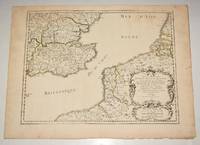
Nicholas Sanson
Original Engraved Map Anciens Royaumes De Kent D'Essex et De Sussex ou sont Aujourdhuy les Comtés Kent D'Essex Middlessex Et Hartford De Sussex Et Surrey. Avecq le Pas De Calais et Partie des Costes du Pays Bas de Picardie et Normandie. Sanson's Double page map of the south east England shown with the adjacent coastline of France and Belgium.
PARIS Chez l’Auteur 1654. Title cartouche to lower right corner. Blank on verso. In good condition. Some light tanning on edges with a few faint foxing marks. A few small nicks lower margin edge. With original outline hand colouring. Engraved Size 17.5 x 23 inches Nicolas Sanson 1600-1667 sometimes called Nicolas Sanson d'Abbeville or Sanson d'Abbeville was the most important French cartographer of the 17th century. Tooley called Sanson "the founder of the French school of cartography." He began making maps in the late 1620s and in the 1630s he was working with Melchior Tavernier. Later Sanson worked in concert with the print publisher Pierre Mariette with whom he published his great atlas: Cartes générales de toutes les parties du monde 1658. After Sanson's death in 1667 his son Guillaume carried on the business in partnership with Alexis Hubert Jaillot. Guillaume established himself as a very important French mapmaker in his own right. PARIS Chez l’Auteur 1654. unknown
Referenz des Buchhändlers : 90474
|
|
|
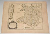
Nicholas Sanson
Principauté de Galles: ou sont les Comtés ou Shiries de Anglesey I. Carnarvan Denbigh Flint Merioneth et Montgomery en Nort-Walles. MAP of WALES
PARIS Chez l’Auteur 1658. Title cartouche to lower left corner. Blank on verso. In good condition. Some light tanning on edges with a few faint foxing marks. With original outline hand colouring. Engraved Size 17.5 x 23 inches Nicolas Sanson 1600-1667 sometimes called Nicolas Sanson d'Abbeville or Sanson d'Abbeville was the most important French cartographer of the 17th century. Tooley called Sanson "the founder of the French school of cartography." He began making maps in the late 1620s and in the 1630s he was working with Melchior Tavernier. Later Sanson worked in concert with the print publisher Pierre Mariette with whom he published his great atlas: Cartes générales de toutes les parties du monde 1658. After Sanson's death in 1667 his son Guillaume carried on the business in partnership with Alexis Hubert Jaillot. Guillaume established himself as a very important French mapmaker in his own right. PARIS Chez l’Auteur 1658 unknown
Referenz des Buchhändlers : 90477
|
|
|
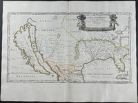
Nicolas d'Abbeville Sanson
Le Nouveau Mexique et la Floride: Tirees de diverses Cartes et Relations Map of America with California Florida Mexico and Virginia Named
<p>Engraving outlined in original color in the third state with <em>Chez l'Autheur </em>to the cartouche. Sanson's first large format regional map of North America depicting California as an island. The map measures approximately 21.5 x 12.5 in 54.5 x 32 cm with the paper size being 23.5 x 17.75 in 60 x 45 cm. Scarce.</p>
Referenz des Buchhändlers : 9429
|
|
|
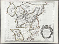
Nicolas d'Abbeville Sanson; Guillame Sanson
Troianum Regnum Novem Dinasteias Complectens; Priami dum Regna Manebant; Adjecta sunt ea quae etiam Innotuere Posterioribus Temporibus Nomina Map of Turkey
<p>Scarce map engraving outlined in original color from Sanson's <em>Cartes Generales de Toutes les Parties du Monde. </em>The image measures approximately 19.75 x 16.5 in 50 x 42 cm; page measures 23.25 x 17.5 in 59 x 44.5 cm.</p> Pierre Mariette
Referenz des Buchhändlers : 9482
|
|

 Per e-mail erhalten
 Als pdf-Dokument herunterladen
 RSS feed
 Permanenter link
