|
ORTELIUS (Abraham);
[CROATIE] Histria.
Anvers 1598 82 x 105 mm.
Riferimento per il libraio : LBW-1389

|
|
|
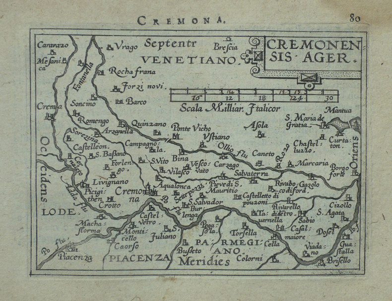
ORTELIUS (Abraham);
[CREMONE] Cremonensis ager.
Anvers 1598 80 x 105 mm.
Riferimento per il libraio : LBW-1418
|
|
|
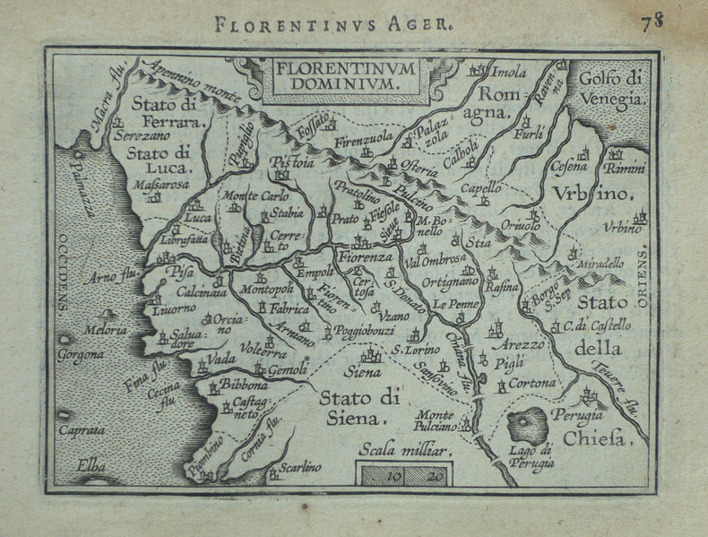
ORTELIUS (Abraham);
[FLORENCE] Florentinum dominium.
Anvers 1598 81 x 105 mm.
Riferimento per il libraio : LBW-1410
|
|
|
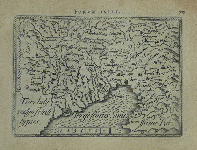
ORTELIUS (Abraham);
[FRIOUL] Fori Iuly vulgo Friuli typus.
Anvers 1598 82 x 105 mm.
Riferimento per il libraio : LBW-1422
|
|
|
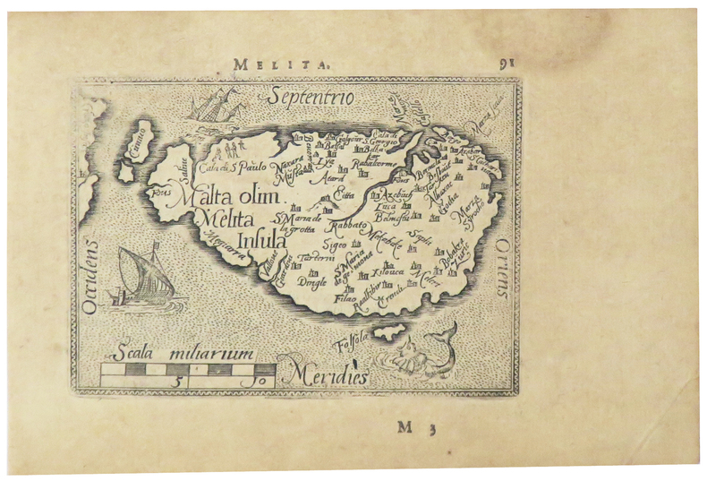
ORTELIUS (Abraham).
[MALTE] Melita.
[Anvers, 1598]. 80 x 107 mm.
Riferimento per il libraio : LBW-5386
|
|
|
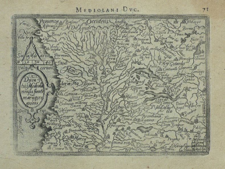
ORTELIUS (Abraham);
[MILANAIS] Ducatus Mediolanensis finitimarumq regionis.
Anvers 1598 83 x 110 mm.
Riferimento per il libraio : LBW-1412
|
|
|
ORTELIUS (Abraham);
[ORVIETO] Oropitum.
Anvers 1598 81 x 105 mm.
Riferimento per il libraio : LBW-1415

|
|
|
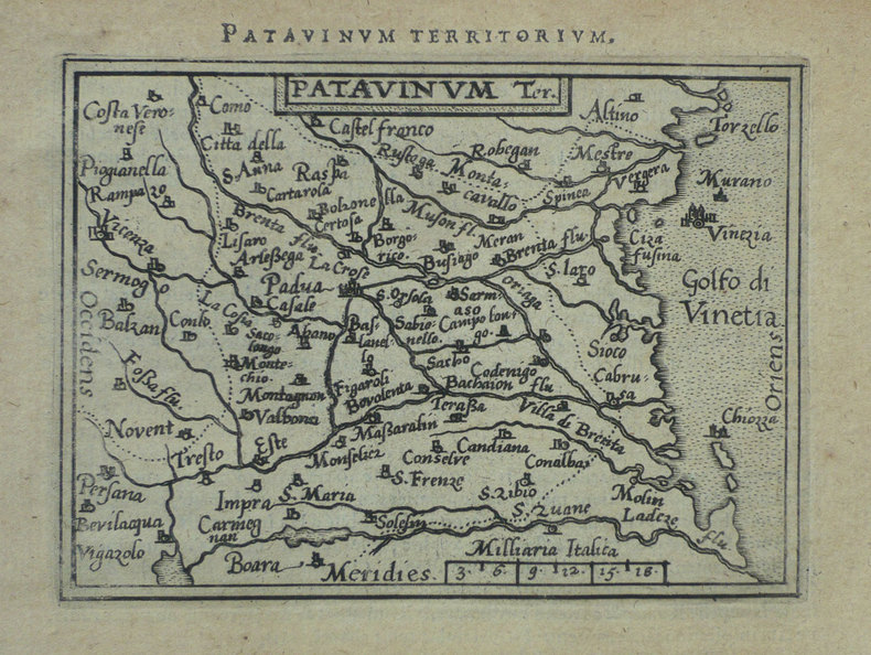
ORTELIUS (Abraham);
[PADOUE] Patavinum.
Anvers 1598 82 x 105 mm.
Riferimento per il libraio : LBW-1423
|
|
|
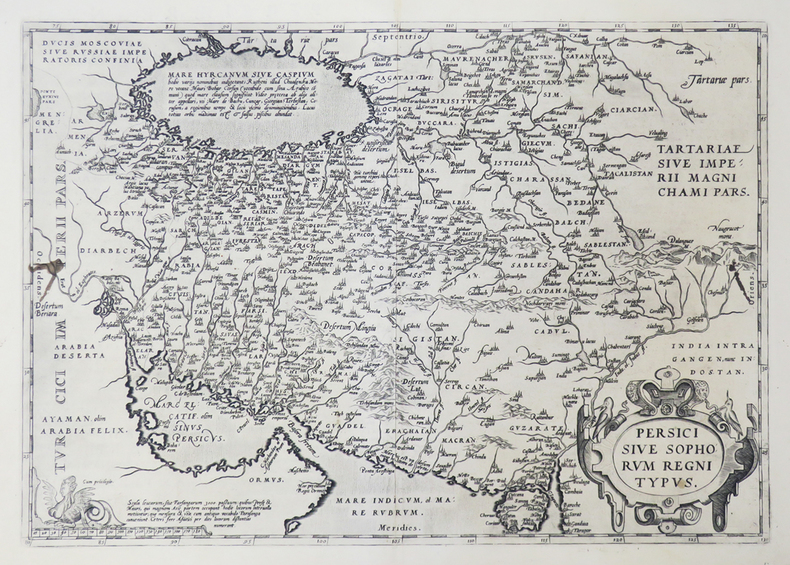
ORTELIUS (Abraham).
[PERSE] Persici sive Sophorum regni typus.
[Anvers, 1592]. 349 x 496 mm.
Riferimento per il libraio : LBW0251e
|
|
|
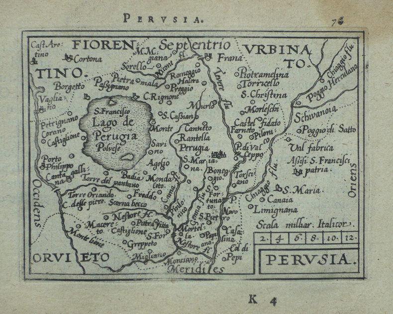
ORTELIUS (Abraham);
[PEROUSE] Perusia.
Anvers 1598 82 x 107 mm.
Riferimento per il libraio : LBW-1416
|
|
|
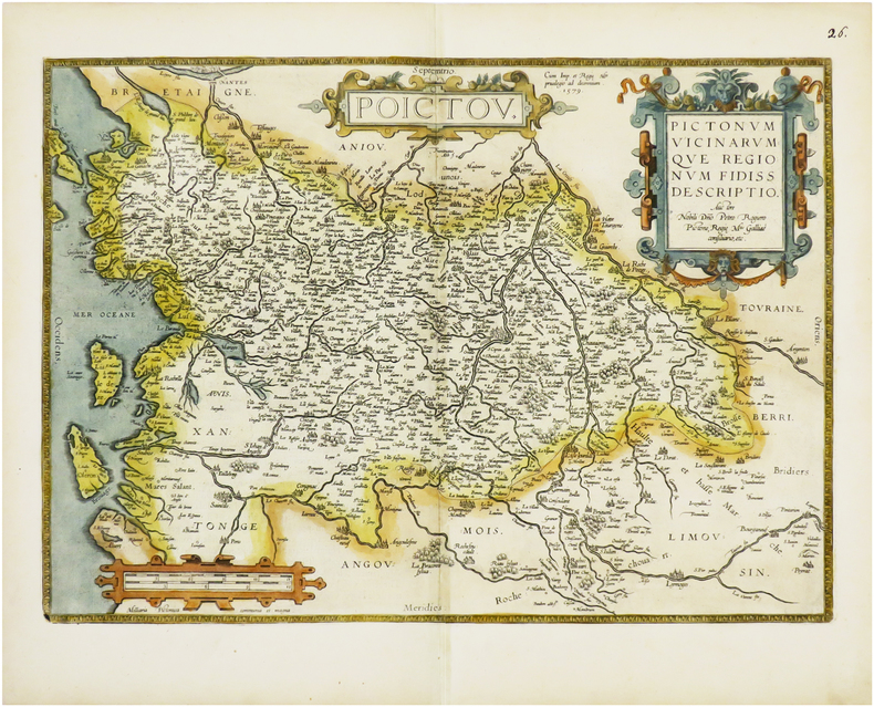
ORTELIUS (Abraham).
[POITOU] Poictou. Pictonum vicinarumque regionum fidiss descriptio.
Anvers, 1579 [1612]. 360 x 504 mm.
Riferimento per il libraio : LBW-6675
|
|
|
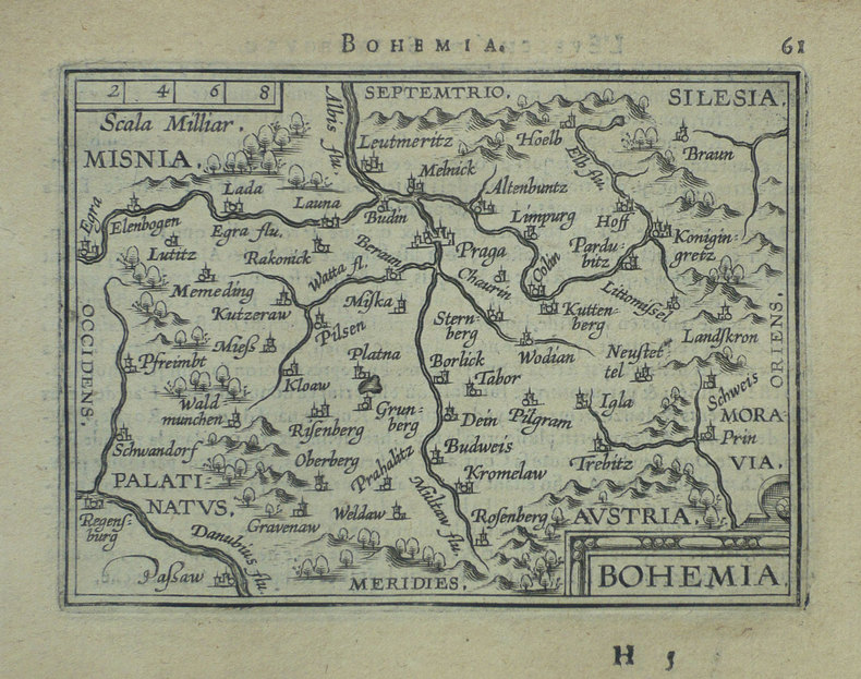
ORTELIUS (Abraham);
[REPUBLIQUE TCHEQUE] Bohemia.
Anvers 1598 81 x 105 mm.
Riferimento per il libraio : LBW-1401
|
|
|
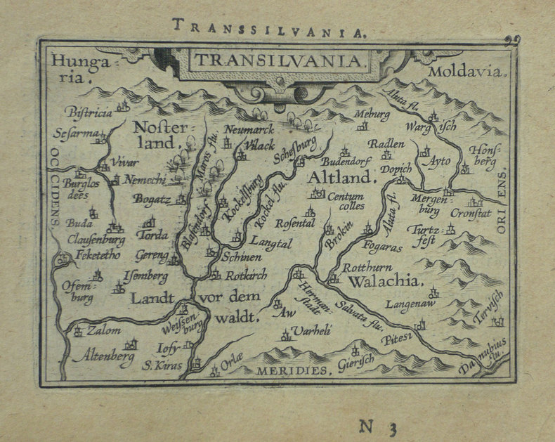
ORTELIUS (Abraham);
[ROUMANIE] Transilvania.
Anvers 1598 80 x 105 mm.
Riferimento per il libraio : LBW-1395
|
|
|
ORTELIUS (Abraham);
[ROME] Romanum territorium.
Anvers 1598 81 x 106 mm.
Riferimento per il libraio : LBW-1409

|
|
|
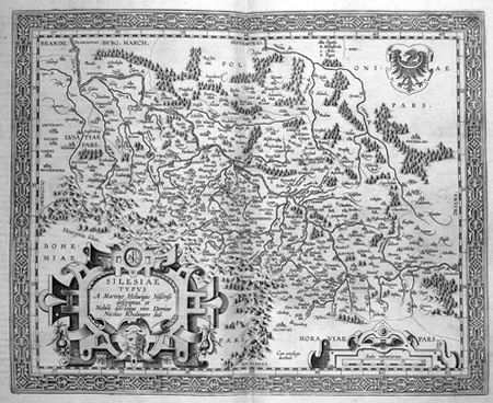
ORTELIUS (Abraham).
[SILESIE] Silesiae typus.
[Anvers, 1603]. 344 x 420 mm.
Riferimento per il libraio : LBW02528
|
|
|
ORTELIUS (Abraham);
[SIENNE] Siena.
Anvers 1598 83 x 106 mm.
Riferimento per il libraio : LBW-1420

|
|
|
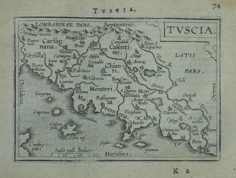
ORTELIUS (Abraham);
[TOSCANE] Tuscia.
Anvers 1598 80 x 109 mm.
Riferimento per il libraio : LBW-1411
|
|
|
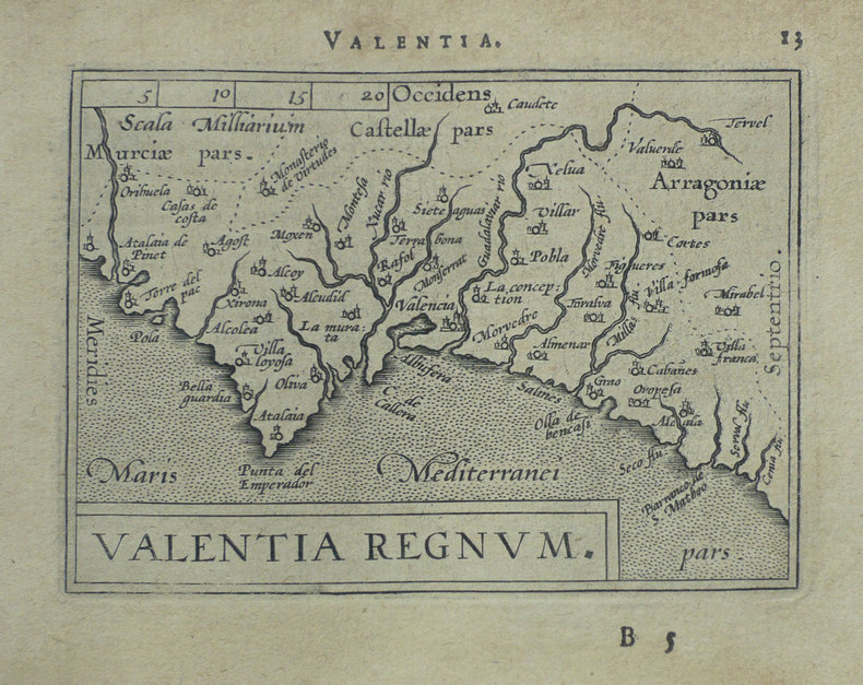
ORTELIUS (Abraham);
[VALENCE] Valentia regnum.
Anvers 1598 81 x 107 mm.
Riferimento per il libraio : LBW-1403
|
|
|
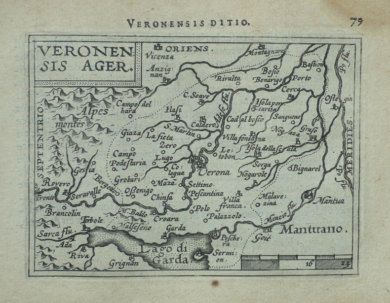
ORTELIUS (Abraham).
[VERONE] Veronensis ager.
[Anvers, 1598]. 82 x 107 mm.
Riferimento per il libraio : LBW-1417
|
|
|
ORTELIUS Abraham.-
Abrahami Ortelii, Cosmographi et Geographi Regii. Deorum Dearumque Capita, Ex Antiquis Numismatibus Collecta: Historica Narratione illustrata à Francisco Swertio antvepiensis.-
Extant Bruxellis. Apud Francisum Foppens. 1683. Petit in-4 (158 x 197 mm) pleine basane brune, dos à 5 nerfs, sans ornement ni pièce de titre, 8ff. n.ch. (Titre, épître au lecteur, index des dieux et déesses, tête de chapitre), 170, (1) pages. Petite vignette de titre sur v*bois et 59 belles figures hors texte gravées d'après des pièces et médailles antiques par Pierre François Sweert. Reliure assez épidermée, coiffes un peu arasées, qq. courtes écritures à l'encre en début d'ouvrage, planche de la page 102 réparée sans perte, papier bruni essentiellement sur les marges, gravures en très bon état. Tel.
Riferimento per il libraio : ORD-18670
|
|
|
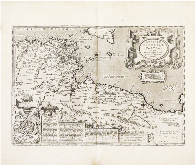
ORTELIUS (Abraham).
Africae propriae tabula.
[Anvers, 1608]. 335 x 486 mm.
Riferimento per il libraio : LBW01b3a
|
|
|
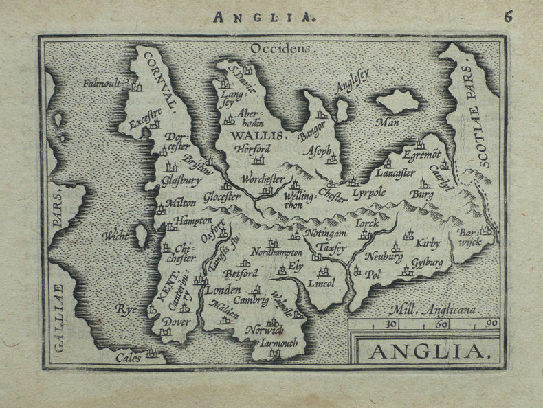
ORTELIUS (Abraham);
Anglia.
Anvers 1598 80 x 104 mm.
Riferimento per il libraio : LBW-1375
|
|
|
ORTELIUS, Abraham & MÜNSTER, Sebastian:
Basiliensis Territorii Descriptio Nova.
Anvers / Antwerpen, s.d. (1559), 32 x 25 cm (feuille 45 x 28 cm), exemplaire non colorié. Petite déchirure marginale en haut de la feuille (3 cm) qui n’atteint pas la carte.
Riferimento per il libraio : 99723aaf
|
|
|
ORTELIUS ABRAHAM
CARTE - ISLANDIA
RELIEFS EDITIONS
Riferimento per il libraio : SLIVCN-9782380362695
|
|
|
ORTELIUS (Abraham);
Cyprus insula - Candia olim Creta.
Anvers 1574-1575 363 x 434 mm.
Riferimento per il libraio : LBW-589
|
|
|
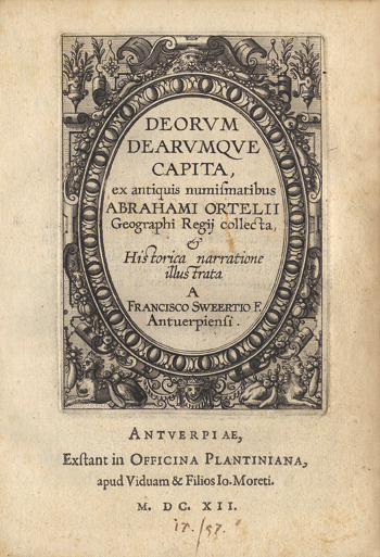
Ortelius (Abraham) :
Deorum dearumque capita, ex antiquis numismatibus Abrahami Ortelii Geographi Regii collecta, et Historica narratione illustrata A Francisco Sweertio F. Antuerpiensi.
Anvers, Plantin, les fils de Joannes Moretus (Typis Roberti Bruneau), 1612 ; petit in-4 ; vélin, titre manuscrit, plats décorés, à froid, à la Duseuil, avec un double fleuron en coins (reliure de l’époque) ; (136) pp. non chiffrées, titre et 59 planches gravés sur cuivre : portraits ou profils des dieux et déesses chacun dans un riche décor à l’ancienne (*, A-Q 4).
Riferimento per il libraio : 16230
|
|
|
ORTELIUS Abraham:
Epitome Theatri Orteliani. Præcipuarum Orbis Regionum delineationes, minoribus tabulis expressas, brevioribúsque declarationibus illustratas, continens.
Antverpiæ, Philippo Gallæo execudebat Arnoldus Coninx, 1595. In-8 oblong de [8]-109-[2] feuillets, plein maroquin brun, dos à nerfs orné de double D entrelacés, plats décorés d'un cartouche ovale doré, orné d'une composition allégorique, double filet doré encadrant les plats, tranches dorées. Reliure début XVIIème siècle. Ex-libris Jacques Teutsch.
Riferimento per il libraio : 16728

|
|
|
ORTELIUS (Abraham).
FESSAE, ET MAROCCHI REGNA AFRICAE CELEBERR. [Et] BARBARIAE ET BILEDULGERID, nova descriptio. [2 cartes XVIe du MAROC].
1595 [Anvers], Ortelius, 1595. Deux cartes (51 X 39 cm) et (50 X 33 cm) sous cadres en pichepin.
Riferimento per il libraio : 004429

|
|
|
ORTELIUS Abraham (1527 - 1598).-
Gallia Vetus Ad Juliy Caesaris commentaria ex conatibus geographicis Abrah. Ortely. 1590.-
Grande carte en coloris ancien de la Gaule selon les Commentaires de Jules César. Elle donne les noms des villes, des cours d'eau, des principaux peuples (dont la liste détaillée est dressée dans les 2 colonnes qui bordent la carte). Les grandes régions sont écrites en grosses lettres rouges, les forêts indiquées en vert, les montagnes en brun. Elle est agrémentée de deux cartouches colorés et 3 vaisseaux, 2 dans l'Atlantique, un dans la Méditerranée. Ortelius. 1590. Dimensions totales 435 x 540 mm, dimensions de la carte elle-même 465 x 358 mm. Texte en latin au dos. Pli central d'origine. Excellent état.
Riferimento per il libraio : ORD-7945
|
|
|
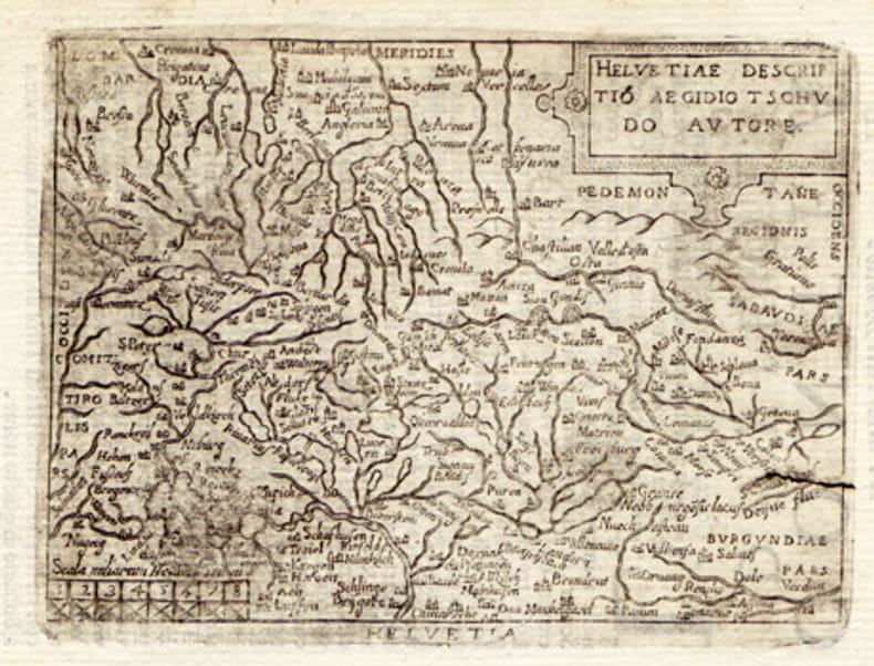
ORTELIUS, Abraham (1527-1598):
Helvetiae descriptio. Carte gravée de la Suisse.
1608, 7.5 x 10.5 cm, carte gravée légèrement tachée + 1 feuille avec le début de la description de la Suisse en italien, 2 feuilles (13 x 9 cm).
Riferimento per il libraio : 100865aaf
|
|
|
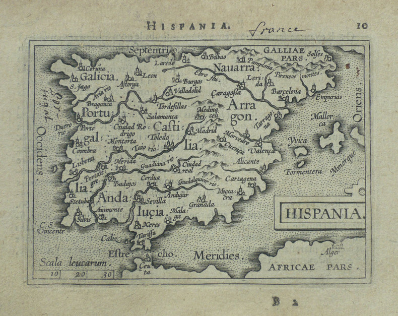
ORTELIUS (Abraham);
Hispania.
Anvers 1598 82 x 107 mm.
Riferimento per il libraio : LBW-1404
|
|
|
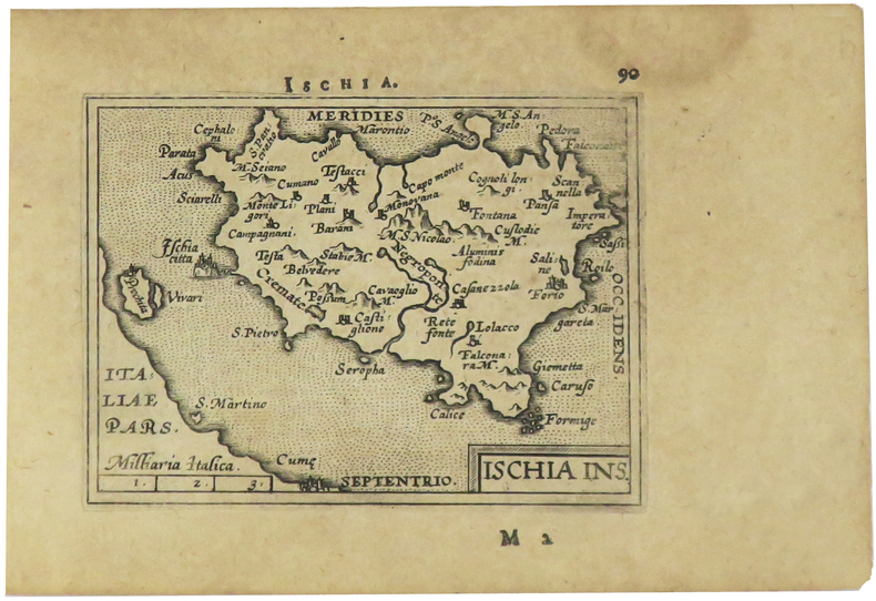
ORTELIUS (Abraham).
Ischia ins.
[Anvers, 1598]. 82 x 106 mm.
Riferimento per il libraio : LBW-1405
|
|
|
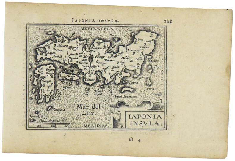
ORTELIUS (Abraham).
Japonia insula.
[Anvers, 1598]. 82 x 102 mm.
Riferimento per il libraio : LBW-1424
|
|
|
ORTELIUS (Abraham)
Le Berry et la Limagne d'Auvergne. "Regionis Biturigum exactis: descriptio per Joanum Calamaeum". "Limaniae topographia, Gabrielle Symoneo auctor."
Anvers Deux cartes sur une feuille 39,5 x 52,5 cm. Gravure en noir rehaussée en couleurs (bleu, rouge, ocre et vert). Description en latin au dos. Impression fin XVIème ou début XVIIème siècle.
Riferimento per il libraio : 3144

|
|
|
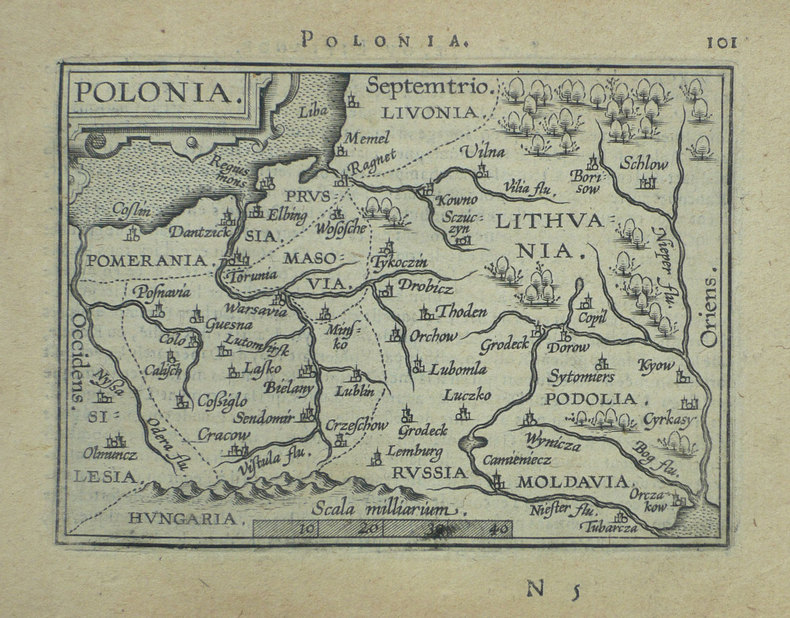
ORTELIUS (Abraham);
Polonia.
Anvers 1598 82 x 108 mm.
Riferimento per il libraio : LBW-1390
|
|
|
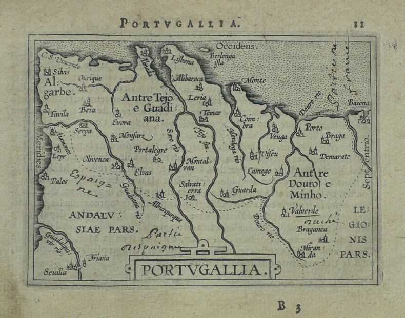
ORTELIUS (Abraham);
Portugallia.
Anvers 1598 81 x 106 mm.
Riferimento per il libraio : LBW-1384
|
|
|
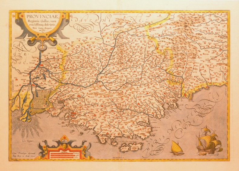
ORTELIUS (Abraham).
PROVINCIAE, REGIONIS GALLIAE, VERA EXACTISSIMAQ DESCRIPTIO. Petro Ioanne Bompario auctore. PROVENCE.
1595 [Anvers], Ortelius, 1594. Carte (557 X 405 mm, marges comprises) sous cadre en bois noirci moderne.
Riferimento per il libraio : 004430
|
|
|
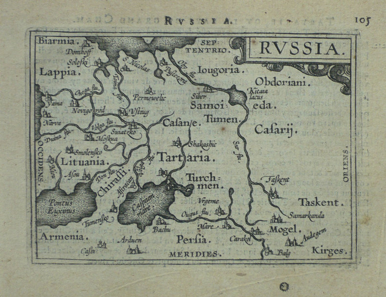
ORTELIUS (Abraham).
Russia.
[Anvers, 1598]. 80 x 106 mm.
Riferimento per il libraio : LBW-1431
|
|
|
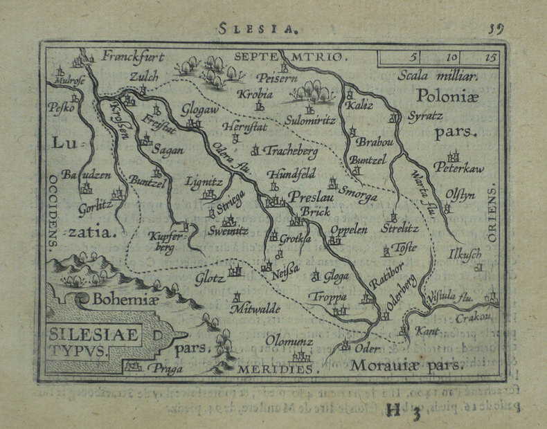
ORTELIUS (Abraham);
Silesiae typus.
Anvers 1598 81 x 106 mm.
Riferimento per il libraio : LBW-1391
|
|
|
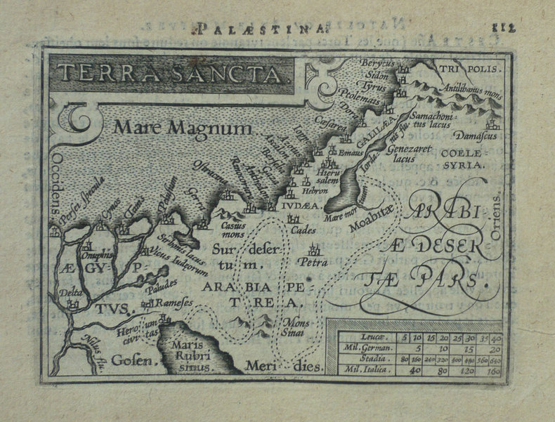
ORTELIUS (Abraham);
Terra sancta.
Anvers 1598 80 x 105 mm.
Riferimento per il libraio : LBW-1425
|
|
|
ORTELIUS, Abraham
Theatro del mondo. L'atlas de poche d'Ortelius
L’Atlas de poche d’Ortelius en italien, complet de ses 108 cartes à pleine page, conservé dans sa reliure de l’époque. Venetia, Per Scipion Banca, 1667. In-16 de (4) ff., 232 pp., (8) ff. 108 cartes gravées à pleine page. Relié en vélin rigide de l’époque. Ex libris manuscrit sur le faux titre : « Bibliotheca Neorelli ». 133 x 93 mm.
Riferimento per il libraio : LCS-1863

|
|
|
ORTELIUS (Abraham);
Turcicum Imperium.
Anvers 1598 81 x 105 mm.
Riferimento per il libraio : LBW-1428

|
|
|
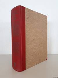
Ortel, Abraham
Abrahami Ortelii et virorum eruditorum ad eundem et ad Jacobum Colium Ortelianum Epistulae
Osnabrück : Otto Zeller 1969. Hardcover. Good. Original boards gilt spine frontispiece portait foldable tables b/w maps/illustrations in rear text mostly in Latin preface in English reprint 1969 4to.; Name/addres stamp on first free endpaper partly crossed with black permanent marker Osnabrück : Otto Zeller hardcover
Riferimento per il libraio : 344455-KC13
|
|
|
ORTELIUS Abraham
Americae Sive Novi Orbis Nova Descriptio
Abraham Ortelius 1612. unbound. very good. Map. Engraving with hand coloring. Image measures 14" x 19.25".<br/><br/> This stunning 1612 map by Abraham Ortelius depicts the Western Hemisphere. At the time it was issued the coastal areas of the New World had been fairly well explored and Europeans were just beginning settlement and colonization. It is notable for depicting Spanish and Portuguese colonies in high detail for these powers were notoriously protective of their geographical surveys.<br><br>This is the first state of the third plate engraved for Ortelius's landmark map of the New World. It is distinguished from the first two plates by the lack of the bulge to the southwest coast of South America. Several other cartographic enhancements are apparent on closer inspections.<br><br>The Solomon Islands are depicted here for the first time since their discovery in 1568 by Alvaro de Mendana. The map identifies several places previously unpublished due to political reasons. These were provided to Ortelius by Haklyut on the basis of recent explorations. The nomenclature in California is also included.<br><br>Perhaps the most notable enhancements on the east coast is the Indian name Wingandkoa and an inlet just above possibly the first depiction of the Chesapeake Bay on a printed map reflecting early English efforts at Colonization in the Outer Banks of the Carolinas. <br><br> Based on Gerard Mercators 1569 World Map this map includes an abundance of cartographic speculation representing the knowledge of the region during the time. The kingdom of Quivira the supposed ancient city of gold in North America. Conquistador Francisco Vázquez de Coronado searched for Quivira for several years to finally find it was no more than American Indian settlement of farming people. Terro del Fueggo first reached by Magellan is here shown to be part of the large speculated continent of Terra Australis that extends westward with the annotation "The southern of Magellanican land as yet unknown".<br><br>Other interesting annotations throughout include "Somewhere here there are islands which according to some have gold" and Patagonia shows a notation that suggests its inhabitants were giants.<br><br>The waters are ornamented with illustrations of ships and a sea monster. In earlier plates the ships are different. A large title cartouche is included in the bottom left. Another scale cartouche appears in the top left. Published in the 1612 or 1608 edition the map is identical in both editions of Ortelius' famous "Theatrum Orbis Terrarum" which is historically considered the first modern atlas. Based on the text on verso only 300 copies of this particular edition were ever printed van der Broecke 11. <br><br> Italian text on verso. Minor chipping to edges. Full original margins. Minor wear along original centerfold. <br><br> Abraham Ortelius 1527--1598 a Flemish cartographer and geographer is widely regarded as one of the important and influential cartographers in history. He is known for his "Theatrum Orbis Terrarum" which was the first modern atlas.<br/><br/> Abraham Ortelius unknown books
Riferimento per il libraio : 219257

|
|
|
Ortelius Abraham
Angliae Scotiae et Hiberniae sive Britannica Insularum Descriptio. Double-page Map of England Scotland and Ireland with Royal Crest in upper right corner. Hand-Colored by a later hand
np 1590. Image area 19 1/2 x 13 1/2 inches in 28 x 23 inch mat. Single crease down center with one 1/2 inch spot worn through otherwise a nice handsome map. Image area 19 1/2 x 13 1/2 inches in 28 x 23 inch mat. Abraham Ortelius 1527-1598 was a Flemish geographer of German origin. His major work Theatrum Orbis Terrarum 1570 with later revisions and addenda was the first modern atlas. It was based on contemporary charts and maps and contained a collection of plates engraved by Franz Hagenberg in a uniform size and format. The Theatrum preceded the first Atlas of Ortelius' good friend Gerardus Mercator. In fact popular and sentimental legend has it that Mercator delayed publication of his own work so that his younger friend's would appear first. although this simply is not true Mercator wasn't ready the legendary cartographer did compliment Ortelius for the "care and elegance" he put into his "Theatrum. unknown books
Riferimento per il libraio : 37978
|
|
|
ORTELIUS Abraham
Circulus sive Liga Sveviae
Antwerp 1612. Tape reinforcements along edge on verso without show-through and not affecting image a few foxmarks overall in very good condition with good color. Hand colored engraved map 12 5/8 x 9 7/8 inches image 16 1/2 x 10 5/8 inches sheet. Crossed arrows watermark. A fine map from Ortelius's atlas showing Lake Constance the Danube and Rhine. Bounded by the Lech Odenwald Alsace and Chur in Switzerland. <br/><br/> unknown books
Riferimento per il libraio : 406876

|
|
|
ORTELIUS Abraham
Culiacanae Americae Regionis Descriptio / Hispaniolae Cubae Aliarumque Insularum Circumiacientium Delineatio
Antwerp: Abraham Ortelius 1587. unbound. Map. Uncolored engraving. Image measures 14" x 19.5".<br/><br/> These two maps on one sheet detail areas of western Mexico above and the Greater Antilles below. Ortelius created them from information compiled by other mapmakers such as Mercator Guttierez and Alsons de Sata Cruz. These sources allowed him to include a wealth of detailed information that is mostly if not entirely accurate. Above the map of western Mexico shows the area around Culiacan and the Spanish settlement of Villa S. Michaels which was notable in the period for its silver mines. It begins at the Yucatan and extends through the Cayman Magnus and the Caymanes. The map below illustrates the Greater Antilles including Cuba Hispaniola Jamaica St. Jois Insula St. Johns the Bahamas Virgin Islands and the Windward Islands all in impressive detail. The section of South Florida also shows suggestion of the Florida Keys which was uncommon for these period. A notable error is that the Tropic of Cancer is labelled as the Tropic of Capricorn. A highly decorative note with strapwork and foliage fills the acific Ocean to the left of Mexico and provides information about the upper map. The lower map also has a framed cartouche with birds perched atop it. Two ship illustrations float in the choppy seas around the islands. The map is a first state from the 1587 French edition of Ortelius's "Theatrum Orbis Terrarum." It is in good condition with no chips or tears. Stain at the center seam in the lower margin not affecting the image some overall stains. French text on verso. Abraham Ortelius 1527--1598 a Flemish cartographer and geographer is widely regarded as one of the important and influential cartographers in history. He is known for his "Theatrum Orbis Terrarum" which was the first modern atlas. This map is an uncommon uncolored example of this wonderful map by Ortelius.<br/><br/> Abraham Ortelius unknown books
Riferimento per il libraio : 239611

|
|
|
ORTELIUS Abraham
Fori Iulii Accurata Descriptio; An Accurate description of Friuli
Antwerp: Abraham Ortelius 1603. unbound. Map. Engraving with hand coloring Image measures 14" x 18 3/4". Staining toning and chips to margins but otherwise is good condition.<br/><br/> Friuli is the northeast Italian region bordering Austria Slovenia and the Adriatic Sea. It's home to the sharp-peaked Dolomite Mountains and vineyards producing white wines. Ortelius' 1603 edition extends from Venice north to the Italian Alps and east to Trieste and Istria. Lovely depiction of Venice floating on several islands. Abraham Ortelius 1527--1598 a Flemish cartographer and geographer is widely regarded as one of the important and influential cartographers in history. He is known for his "Theatrum Orbis Terrarum" which was the first modern atlas. Van Den Broecke 119<br/><br/> Abraham Ortelius unknown books
Riferimento per il libraio : 299083

|
|
|
ORTELIUS Abraham
Galliae Regni Potentiss: Nova Descriptio
Antwerp: Abraham Ortelius 1603. unbound. Map. Engraving with beautiful original hand color. Image measures 14" x 18 3/4". Staining and toning repair to margins but otherwise is good condition.<br/><br/> Old color example of this lovely map of 16th c. France by Ortelius. Abraham Ortelius 1527-1598 a Flemish cartographer and geographer is widely regarded as one of the important and influential cartographers in history. He is known for his "Theatrum Orbis Terrarum" which was the first modern atlas. Van den Broecke #34<br/><br/> Abraham Ortelius unknown books
Riferimento per il libraio : 299305

|
|
|
ORTELIUS Abraham
Hollandiae Antiquorum Catthorum Sedis Nova Descriptio
Antwerp: Abraham Ortelius 1592. unbound. Map. Uncolored engraving. Sheet measures 16" x 21".<br/><br/> This beautiful 1588 map by Abraham Ortelius depicts Holland or the Netherlands in exceptional detail. The map covers the regions near the Wadden Sea roughly covering modern day provinces of North Holland South Holland and Utrecht. The map centered on Amsterdam is oriented with north to the left. Topographical and geographical features such as mountains and cities are beautifully rendered in profile.<br><br>The waters surrounding the region are shown with waves and include several illustrations of ships throughout. This is the first state of the map with later states showing a stippled sea rather than waves. Includes a large strapwork title cartouche scale of miles with a divider in the lower left. The Royal coat of arms is presented in the top left. The map also includes a 16-point compass rose.<br><br>Ortelius based this map on the work of Jacob van Daventer. Published in the 1588 edition of Ortelius' famous "Theatrum Orbis Terrarum" which is historically considered the first modern atlas. Based on the text on verso only 300 copies of this particular edition were ever printed van der Broecke 79.<br><br>The map is in good condition with minor wear along the original centerfold. Minor foxing at places. Original plate mark is visible. Latin text on verso.<br><br> Abraham Ortelius 1527--1598 a Flemish cartographer and geographer is widely regarded as one of the important and influential cartographers in history. He is known for his "Theatrum Orbis Terrarum" which was the first modern atlas. Hard to find in black and white.<br/><br/> Abraham Ortelius unknown books
Riferimento per il libraio : 273298

|
|

 Ricevere i risultati per e-mail
 Scaricare i risultati in PDF
 RSS feed
 Link
Link


