|
|
|
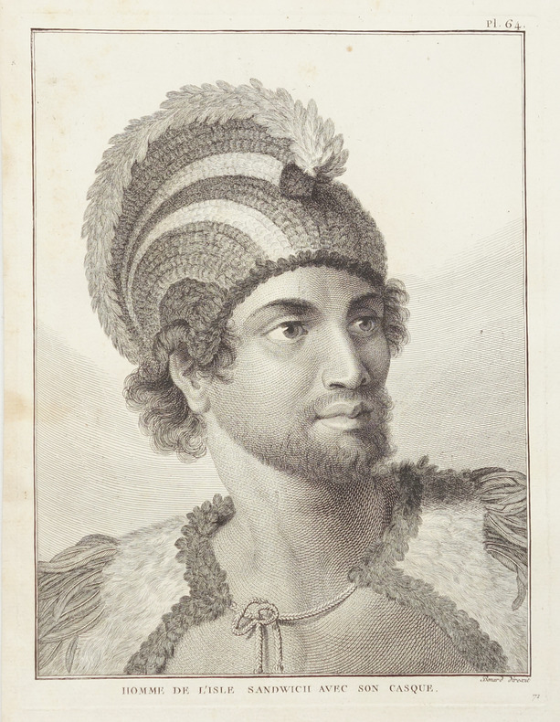
COOK (James).
[HAWAII] Homme de l'isle Sandwich avec son casque.
[1785]. 235 x 172 mm.
書籍販売業者の参照番号
: LBW-2857
|
|
|
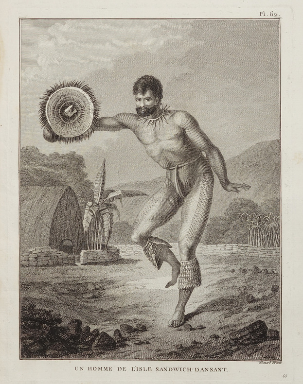
COOK (James).
[HAWAII] Un Homme de l'isle Sandwich dansant.
[1785]. 237 x 173 mm.
書籍販売業者の参照番号
: LBW-2858
|
|
|
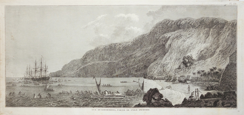
COOK (James).
[HAWAII] Vue de Karakakooa, partie de l'isle Owhyhee.
1785. 230 x 499 mm.
書籍販売業者の参照番号
: LBW-2859
|
|
|
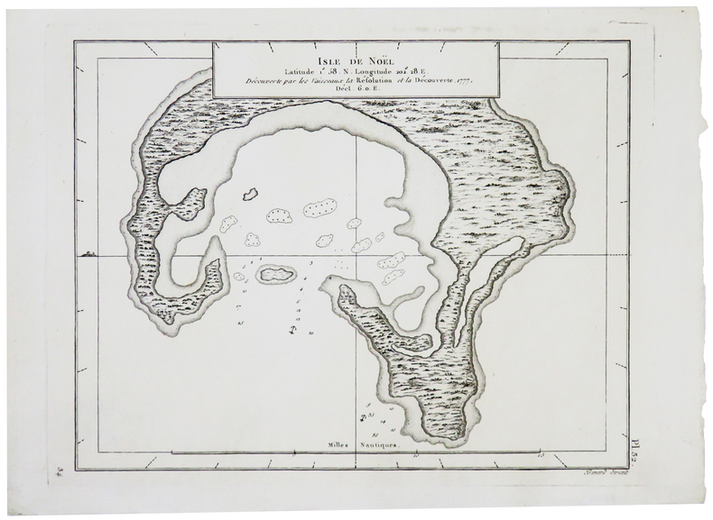
COOK (James).
[KIRIBATI] Isle de Noël.
[1782]. 172 x 221 mm.
書籍販売業者の参照番号
: LBW-5810
|
|
|
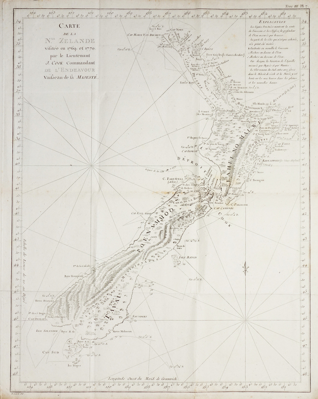
COOK (James).
[NOUVELLE-ZELANDE] Carte de la N.le Zélande visitée en 1769 et 1770, par le lieutenant J. Cook commandant de l'Endeavour vaisseau de Sa Majesté.
[1774]. 482 x 373 mm.
書籍販売業者の参照番号
: LBW-2723
|
|
|
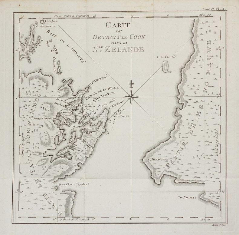
COOK (James).
[NOUVELLE-ZELANDE] Carte du détroit de Cook dans la N.le Zélande.
[1774]. 270 x 272 mm.
書籍販売業者の参照番号
: LBW-2757
|
|
|
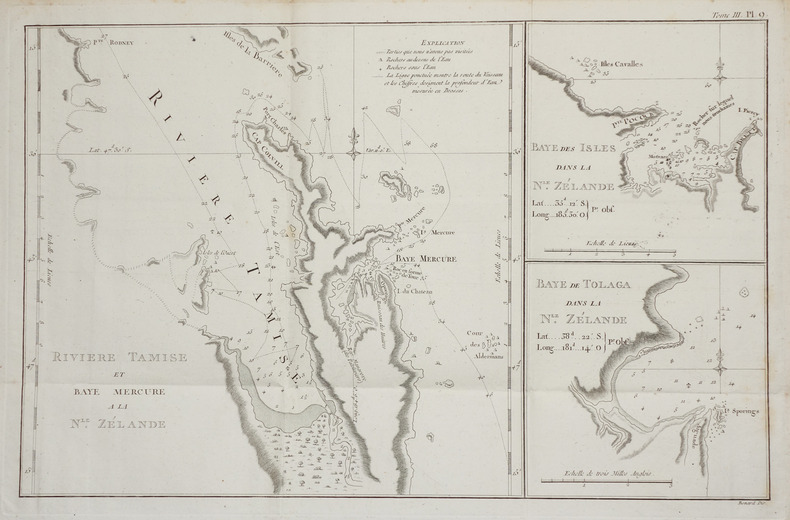
COOK (James).
[NOUVELLE-ZELANDE] Rivière Tamise et Baye Mercure à la N.le Zélande - Baye des Isles dans la N.le Zélande - Baye de Tolaga dans la N.le Zélande.
[1774]. 275 x 431 mm.
書籍販売業者の参照番号
: LBW-2718
|
|
|
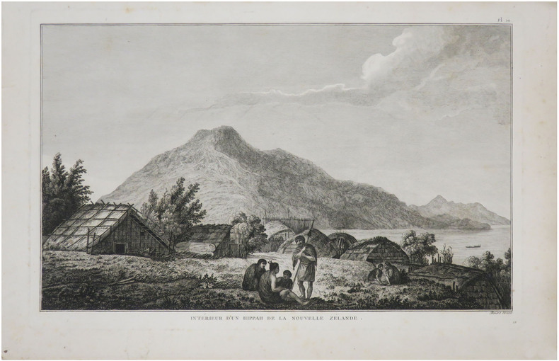
COOK (James).
[NOUVELLE-ZÉLANDE] Intérieur d'un hippah de la Nouvelle Zélande.
[1785]. 235 x 360 mm.
書籍販売業者の参照番号
: LBW-8758
|
|
|
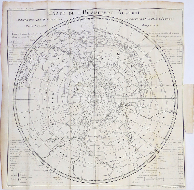
COOK (James).
[PACIFIQUE] Carte de l'hémisphère austral montrant les routes des navigateurs les plus célèbres.
[1780]. 535 x 535 mm.
書籍販売業者の参照番号
: LBW-4310
|
|
|
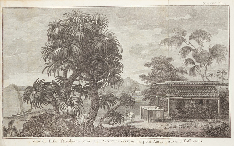
COOK (James).
[POLYNESIE FRANCAISE/HUAHINE] Vue de l'isle d'Huaheine avec la maison de Dieu, et un petit autel couvert d'offrandes.
[1774]. 211 x 350 mm.
書籍販売業者の参照番号
: LBW-2672
|
|
|
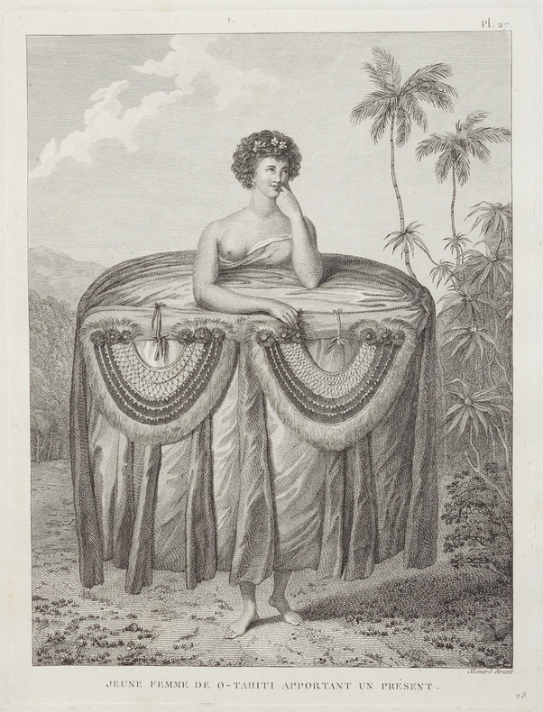
COOK (James).
[POLYNESIE FRANCAISE/TAHITI] Jeune femme de O-Tahiti apportant un présent.
[1774]. 235 x 167 mm.
書籍販売業者の参照番号
: LBW-2850
|
|
|
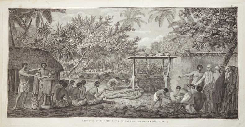
COOK (James).
[POLYNESIE FRANCAISE/TAHITI] Sacrifice humain qui eut lieu dans un des morais d'O-Taiti.
[1774]. 235 x 464 mm.
書籍販売業者の参照番号
: LBW-2851
|
|
|
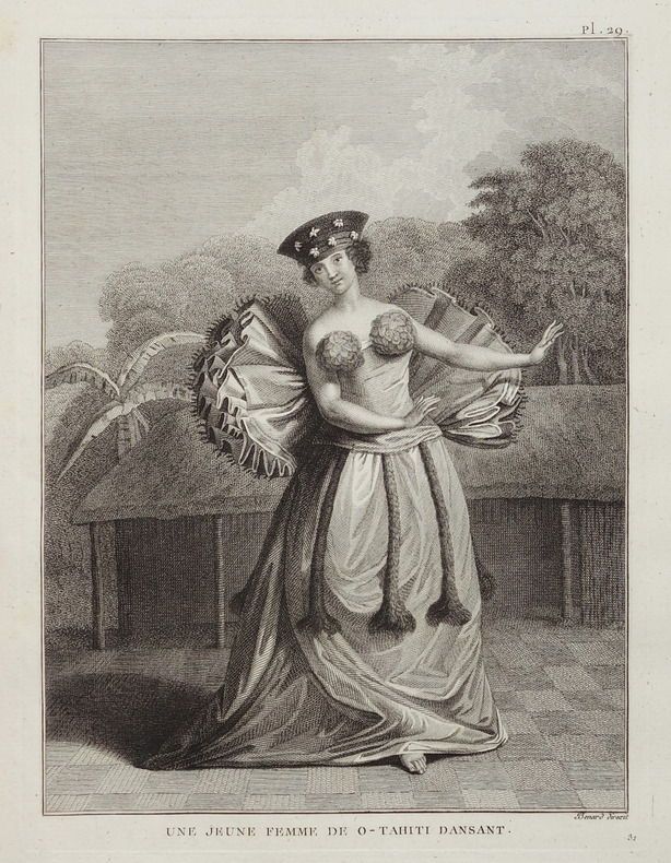
COOK (James).
[POLYNESIE FRANCAISE/TAHITI] Une jeune femme de O-Tahiti dansant.
[1774]. 235 x 170 mm.
書籍販売業者の参照番号
: LBW-2853
|
|
|
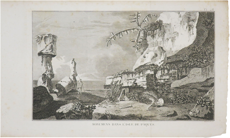
COOK (James).
[ÎLES de PÂQUES] Monumens dans l'isle de Pâques.
[1778]. 220 x 348 mm.
書籍販売業者の参照番号
: LBW-8800
|
|
|
COOK (James);
[POLYNESIE] Table des différentes langues de la mer du Sud.
circa 1780 337 x 462 mm.
書籍販売業者の参照番号
: LBW-968
|
|
|
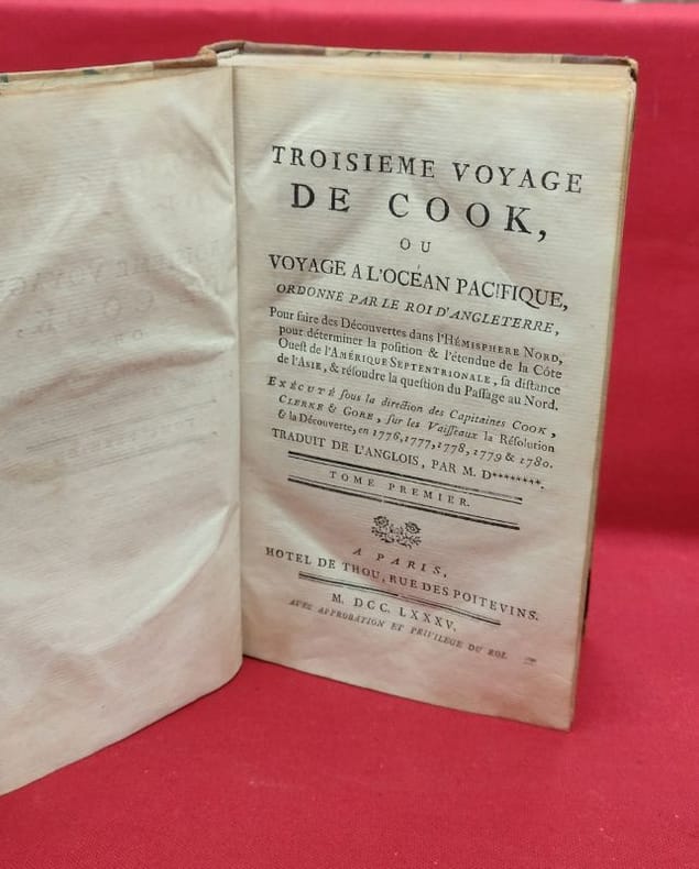
COOK James
Troisième voyage de Cook, ou voyage a l'océan Pacifique, ordonné par le roi d'Angleterre [...] (4 volumes, sans l'atlas)
paris thou 1785 4 A Paris, Hotel de Thou, 1785, 4 volumes in-8, 512 - 512 - 592 - 584, 111 pages, contient les 2 tableaux dépliants et les appendices, sans l'atlas de planches.Demi reliure à coins, dos longs portant titres et tomaisons dorés sur pièce de cuir respectivement orangé et vert, tranches mouchetées, gardes blanches. Reliures usées mais solides (cuir épidermé, coins frottés, mors interne en partie apparent), nombreuse erreurs de pagination, sans manque, un cahier du tome I dont les pages ne sont imprimées que sur une face du feuillet (sans manque) intérieur frais, bon état général.
書籍販売業者の参照番号
: 118723
|
|
|
COOK James (1728 - 1779)
Carta dell'Isola di Taiti, del Luogotenente J. Cook
Edizione italiana della celebre carta dell’isola di Tahiti di James Cook. La presente carta è stata stampata come parte del resoconto ufficiale del primo viaggio di Cook, che fu curato dal critico letterario John Hawkesworth e sottoscritto dall'Ammiragliato britannico. An Account of the Voyages undertaken by the order of His Present Majesty for making Discoveries in the Southern Hemisphere... (Londra: W. Strahan and T. Cadell, 1773) raccontava i viaggi non solo di Cook, ma anche di Byron, Wallis e Carteret che si erano avventurati nel Pacifico per la Royal Navy in precedenza negli anni 1760. James Cook, fu nominato luogotenente al comando dell'Endeavour, un vascello di 370 tonnellate, salpò da Plymouth il 25 agosto 1768, conducendo seco J. Banks, il botanico Solander, e i pittori Buchan e Sydney Parkinson, l'ultimo dei quali acquistò fama per i suoi quadri d'interesse naturalistico. Dopo aver toccato Madera e Rio de Janeiro, doppiò il Capo di Buona Speranza e giunse nell'aprile del 1769 a Tahiti; riconobbe e rilevò l'arcipelago delle Isole della Società e, portata a termine la missione affidatagli, navigò verso SO., compiendo quasi per intero il periplo della Nuova Zelanda, dove scoprì lo stretto che da lui prese nome. Colpito dal fatto che, nonostante Tahiti fosse comunque uno scalo di estrema importanza per le navi che solcavano il Pacifico, la posizione segnata sulle carte risultava terribilmente approssimativa, Cook approfitta della sosta per calcolare anche latitudine e longitudine esatte dell’Isola, destinate ad arricchire e migliorare le attuali mappe nautiche che risultano sempre incomplete e notevolmente indeterminate. È il 13 luglio 1769 quando Cook dà ordine di salpare l’ancora, navigando sulla rotta prestabilita che dovrebbe portarlo verso Sud scopre altre isole facenti parti dell’Arcipelago di Tahiti alle quali conferisce il nome di Isole della Società, in onore appunto alla Royal Society. Acquaforte, finemente colorata a mano, in ottimo stato di conservazione. Italian edition of the map of Tahiti by James Cook. Captain James Cook (1728-1779) is considered to be the greatest explorer of the eighteenth century and was the finest maritime cartographer of the Age of Enlightenment. Having first worked on coal colliers and then distinguished himself as a surveyor in Eastern Canada, in 1768 he became the British Admiralty's choice to lead an unprecedented voyage of discovery. The central impetus for the expedition was to observe the Transit of Venus from Tahiti and then to proceed to explore Terra Australis Incognita, the supposedly rich southern continent. Whereas the first part of the voyage was to be conducted under the auspices of international scientific cooperation, the second part was entirely clandestine and was only communicated to Cook via "Secret Instructions" to be opened once at sea. Cook's party left Plymouth in August 1768 aboard the converted coal collier HMS Endeavor and proceeded to Tahiti by way of Cape Horn. They arrived in time to observe the Transit of Venus, which occurred June 3, 1769. Cook then proceeded towards New Zealand, to the coordinates recorded by Tasman. The present chart was printed as part of the official account of Cook's first voyage, which was edited by the literary critic John Hawkesworth and underwritten by the British Admiralty. An Account of the Voyages undertaken by the order of His Present Majesty for making Discoveries in the Southern Hemisphere… (London: W. Strahan and T. Cadell, 1773) recounted the voyages not only of Cook, but of Byron, Wallis, and Carteret who had also ventured to the Pacific for the Royal Navy earlier in the 1760s. Etching with fine later hand colour, good condition.

|
|
|
COOK James (1728 - 1779)
Carta Des Isle de la Societé…
Carta geografica tratta dall'atlante della relazione di James Hawkesworth "Cartes et figures des voyages entrepris par ordre de sa Majesté Britannique pou fair des découvertes dans l'hémisphère méridional; exécutes par Byron, Carteret, Wallis & Cook dans les vaisseaux le Dauphin, Le Swallow & l'Endeavour" pubblicata in più edizioni di lingua francese, inglese, olandese ed italiano. Incisione in rame, in ottimo stato di conservazione. Map of the atlas is the report by James Hawkesworth "Cartes et figures des voyages entreprise par ordre de sa Majesté Britannique pou fair des découvertes dans l'Hémisphère southern exécutes par Byron, Carteret, Wallis and Cook dans les vaisseaux le Dauphin, Le Swallow & Endeavour "published in multiple editions of the English, French, Dutch and Italian.A map of Tahiti and the surrounding islands discovered by Wallis, Carteret and Cook in the years 1765, 1767 and 1769.The map shows Maurua, Tubai, Bolabola (Bora Bora), Otaha, Ulietéa and Huaheine. This group of islands was identified by Cook in 1769 when he wrote in his journal, "So call'd by the Natives and it was not thought advisable to give them any other names but these three together with Huaheine, Tubai, and Maurua as they lay contiguous to one another I have named Society Isles."

|
|
|
COOK James (1728 - 1779)
Carte d'une Partie de la Cote de la N.le Galles Merid.le
Carta geografica tratta dall'atlante della relazione di James Hawkesworth "Cartes et figures des voyages entrepris par ordre de sa Majesté Britannique pou fair des découvertes dans l'hémisphère méridional; exécutes par Byron, Carteret, Wallis & Cook dans les vaisseaux le Dauphin, Le Swallow & l'Endeavour" pubblicata in più edizioni di lingua francese, inglese, olandese ed italiano. Incisione in rame, in ottimo stato di conservazione. Map of the atlas is the report by James Hawkesworth "Cartes et figures des voyages entreprise par ordre de sa Majesté Britannique pou fair des découvertes dans l'Hémisphère southern exécutes par Byron, Carteret, Wallis and Cook dans les vaisseaux le Dauphin, Le Swallow & Endeavour "published in multiple editions of the English, French, Dutch and Italian.Interesting and highly detailed charting of a portion of the Coastline of New South Wales, from Cape Tribulation to Endeavour Straits and Cape York.

|
|
|
COOK James (1728 - 1779)
Carte de la N.le Zelande visiteée en 1769 et 1770 par le Lieutenant J. Cook commandant de l'Endeavour vaißeau de la Majest
Edizione francese della mappa della Nuova Zelanda del capitano J. Cook, che riporta le rotte seguite intorno alle due grandi isole (Isola del Nord e Isola del Sud) dal 6 ottobre 1769 al primo aprile 1770.James Cook fu il primo a operare il rilevamento integrale delle coste.Esemplare tratto dalla prima edizione dell'opera "Relation des voyages entrepris par ordre de Sa Majesté Britannique . . ." di John Hawkersworth, pubblicata a Parigi nel 1774.Incisione su rame, carta irregolare il solo margine sinistro, per il resto in perfetto stato di conservazione. French edition of Cook’s foundation map of New Zealand, showing the track of the Endeavour around both islands, from October 6, 1769, to April 1, 1770.From John Hawkesworth’s "Relation des voyages entrepris par ordre de Sa Majesté Britannique . . ." (Paris, 1774). Copperplate, in very good condition.Endeavour came within sight of land on April 19, well north of the area charted by Tasman 125 years earlier. The New Holland (Australia) coast was exasperating, however, and Cook could not find a safe place to land until the afternoon of Saturday, April 28, when they entered Botany Bay (part of today’s Sydney Harbor), which Cook later named for the wide variety of plant life found there. The Aborigines that they saw there were unintelligible to Tupaia and kept away, avoiding contact. Through May and into June, Endeavour sailed north, arcing northwest, following the Great Barrier Reef coastline. On the evening of June 10, when most of the men were sleeping, the ship struck coral, stuck fast, and began leaking. Quick thinking and decisive action by Cook and his men—pumping furiously and jettisoning fifty tons of decayed stores, stone ballast, and cannons—kept the ship afloat and allowed a temporary underwater repair. A few days later, the damaged ship was safely beached on a barren shore (near today’s Cooktown, by the EndeavourRiver), and a fury of activity began more permanent work: the expedition had avoided a real disaster. (Henceforth, the British Admiralty would send Cook out with two ships for safety.) During this time, the men enjoyed more favorable interactions with the natives, but not without miscommunications and incidents of distrust. By August 13, the ship was ready to resume its journey.The labyrinth of treacherous islands and reefs was threaded slowly and carefully, with vigilance and some luck, as the expedition sailed northward through the Great Barrier Reef, westward around the northernmost point of New Holland, and into what Cook called Endeavour Strait. He stopped briefly at Possession Island (his name) where, now knowing he was in territory explored by the Dutch, he claimed the whole coastline he had just charted for King George III. It was a proud moment, essentially marking the end of Cook’s first Pacific voyage’s geographical discoveries.

|
|
|
COOK James (1728 - 1779)
Carte des Isles D'Otahiti
Carta geografica tratta dall'atlante della relazione di James Hawkesworth "Cartes et figures des voyages entrepris par ordre de sa Majesté Britannique pou fair des découvertes dans l'hémisphère méridional; exécutes par Byron, Carteret, Wallis & Cook dans les vaisseaux le Dauphin, Le Swallow & l'Endeavour" pubblicata in più edizioni di lingua francese, inglese, olandese ed italiano. Incisione in rame, in ottimo stato di conservazione. Map taken from the atlas by James Hawkesworth "Cartes et figures des voyages entrepris par ordre de sa Majesté Britannique pou fair des découvertes dans l'hémisphère méridional; exécutes par Byron, Carteret, Wallis & Cook dans les vaisseaux le Dauphin, Le Swallow & l'Endeavour" published in more edition in french, english, duth and italian. Fine map shows the explorations of Captain Cook, Captain Byron, Captain Wallis and Captain Carteret in the vicinity of Tahiti and the Society Islands from 1765 to 1769. Extends from Is. Scilly [i.e. the Scilly Islands] in the west and to I. Whitsunday de la Pentecote [i.e. the Whitsunday Island] in the east, from Is. du Disappointment [i.e. Disappointment Island] in the north to Ohetiroa in the south. Features the routes taken by these important explorers as the zig-zagged in and around the Society Islands. Depicts the island of Tahiti (Otaheite) as well as Bora Bora (Bolabola), Otaha, Marma, Ulietea, and others. Title in decorative script in the upper right quadrant. Copper engraving, in excellent condition.

|
|
|
COOK James (1728 - 1779)
Het Eiland Norfolk
Carta geografica tratta dall'atlante della relazione di James Hawkesworth "Cartes et figures des voyages entrepris par ordre de sa Majesté Britannique pou fair des découvertes dans l'hémisphère méridional; exécutes par Byron, Carteret, Wallis & Cook dans les vaisseaux le Dauphin, Le Swallow & l'Endeavour" pubblicata in più edizioni di lingua francese, inglese, olandese ed italiano. Incisione in rame, in ottimo stato di conservazione. Map of the atlas is the report by James Hawkesworth "Cartes et figures des voyages entreprise par ordre de sa Majesté Britannique pou fair des découvertes dans l'Hémisphère southern exécutes par Byron, Carteret, Wallis and Cook dans les vaisseaux le Dauphin, Le Swallow & Endeavour "published in multiple editions of the English, French, Dutch and Italian.

|
|
|
COOK James (1728 - 1779)
Kaart van de Eilanden in den omtrek van Otahiti…
Carta geografica tratta dall'atlante della relazione di James Hawkesworth "Cartes et figures des voyages entrepris par ordre de sa Majesté Britannique pou fair des découvertes dans l'hémisphère méridional; exécutes par Byron, Carteret, Wallis & Cook dans les vaisseaux le Dauphin, Le Swallow & l'Endeavour" pubblicata in più edizioni di lingua francese, inglese, olandese ed italiano. Map of the atlas is the report by James Hawkesworth "Cartes et figures des voyages entreprise par ordre de sa Majesté Britannique pou fair des découvertes dans l'Hémisphère southern exécutes par Byron, Carteret, Wallis and Cook dans les vaisseaux le Dauphin, Le Swallow & Endeavour "published in multiple editions of the English, French, Dutch and Italian.A map of Tahiti and the surrounding islands discovered by Wallis, Carteret and Cook in the years 1765, 1767 and 1769.

|
|
|
COOK James (1728 - 1779)
Kaart van de haven van Tongataboo
Carta geografica tratta dall'atlante della relazione di James Hawkesworth "Cartes et figures des voyages entrepris par ordre de sa Majesté Britannique pou fair des découvertes dans l'hémisphère méridional; exécutes par Byron, Carteret, Wallis & Cook dans les vaisseaux le Dauphin, Le Swallow & l'Endeavour" pubblicata in più edizioni di lingua francese, inglese, olandese ed italiano. Incisione in rame, in ottimo stato di conservazione. Map of the atlas is the report by James Hawkesworth "Cartes et figures des voyages entreprise par ordre de sa Majesté Britannique pou fair des découvertes dans l'Hémisphère southern exécutes par Byron, Carteret, Wallis and Cook dans les vaisseaux le Dauphin, Le Swallow & Endeavour "published in multiple editions of the English, French, Dutch and Italian.Map of the harbour of Tongataboo, one of the Tonga Islands.

|
|
|
COOK James (1728 - 1779)
Kaart van de Societeit Eilanden ontdekt door Luit. J. Cook…
Carta geografica tratta dall'atlante della relazione di James Hawkesworth "Cartes et figures des voyages entrepris par ordre de sa Majesté Britannique pou fair des découvertes dans l'hémisphère méridional; exécutes par Byron, Carteret, Wallis & Cook dans les vaisseaux le Dauphin, Le Swallow & l'Endeavour" pubblicata in più edizioni di lingua francese, inglese, olandese ed italiano. Incisione in rame, in ottimo stato di conservazione. Captain James Cook (1728-79), explorer, circumnavigator and hydrographer. Three voyages, 1768-71, 1772-75 and 1776-79. From 1778 on printed editions of ' Captain Cook's Travels' appeared in English, Italian, French and Dutch. A map of the Society Islands. From a Dutch edition of "Cook's voyages". Copper engraving. Traces of the original folds. Perfect conditions.

|
|
|
COOK James (1728 - 1779)
Kaart van de Vrienden Eilanden
Carta geografica tratta dall'atlante della relazione di James Hawkesworth "Cartes et figures des voyages entrepris par ordre de sa Majesté Britannique pou fair des découvertes dans l'hémisphère méridional; exécutes par Byron, Carteret, Wallis & Cook dans les vaisseaux le Dauphin, Le Swallow & l'Endeavour" pubblicata in più edizioni di lingua francese, inglese, olandese ed italiano. Incisione in rame, in ottimo stato di conservazione. Map of the atlas is the report by James Hawkesworth "Cartes et figures des voyages entreprise par ordre de sa Majesté Britannique pou fair des découvertes dans l'Hémisphère southern exécutes par Byron, Carteret, Wallis and Cook dans les vaisseaux le Dauphin, Le Swallow & Endeavour "published in multiple editions of the English, French, Dutch and Italian.A map of the Tonga islands.

|
|
|
COOK James (1728 - 1779)
Kaart van de Vrienden-Eilanden.
Carta geografica tratta dall'atlante della relazione di James Hawkesworth "Cartes et figures des voyages entrepris par ordre de sa Majesté Britannique pou fair des découvertes dans l'hémisphère méridional; exécutes par Byron, Carteret, Wallis & Cook dans les vaisseaux le Dauphin, Le Swallow & l'Endeavour" pubblicata in più edizioni di lingua francese, inglese, olandese ed italiano. Incisione in rame, in ottimo stato di conservazione. Map of the atlas is the report by James Hawkesworth "Cartes et figures des voyages entreprise par ordre de sa Majesté Britannique pou fair des découvertes dans l'Hémisphère southern exécutes par Byron, Carteret, Wallis and Cook dans les vaisseaux le Dauphin, Le Swallow & Endeavour "published in multiple editions of the English, French, Dutch and Italian.A map of the Tonga islands.

|
|
|
COOK James (1728 - 1779)
Kaart van van Diemens Land
Carta geografica tratta dall'atlante della relazione di James Hawkesworth "Cartes et figures des voyages entrepris par ordre de sa Majesté Britannique pou fair des découvertes dans l'hémisphère méridional; exécutes par Byron, Carteret, Wallis & Cook dans les vaisseaux le Dauphin, Le Swallow & l'Endeavour" pubblicata in più edizioni di lingua francese, inglese, olandese ed italiano. Incisione in rame, in ottimo stato di conservazione. Map of the atlas is the report by James Hawkesworth "Cartes et figures des voyages entreprise par ordre de sa Majesté Britannique pou fair des découvertes dans l'Hémisphère southern exécutes par Byron, Carteret, Wallis and Cook dans les vaisseaux le Dauphin, Le Swallow & Endeavour "published in multiple editions of the English, French, Dutch and Italian.A map of the southernmost part of van Diemens Land.

|
|
|
COOK James (1728 - 1779)
Kaart van Van Diemens Land
Carta geografica tratta dall'atlante della relazione di James Hawkesworth "Cartes et figures des voyages entrepris par ordre de sa Majesté Britannique pou fair des découvertes dans l'hémisphère méridional; exécutes par Byron, Carteret, Wallis & Cook dans les vaisseaux le Dauphin, Le Swallow & l'Endeavour" pubblicata in più edizioni di lingua francese, inglese, olandese ed italiano. Incisione in rame, in ottimo stato di conservazione. Map of the atlas is the report by James Hawkesworth "Cartes et figures des voyages entreprise par ordre de sa Majesté Britannique pou fair des découvertes dans l'Hémisphère southern exécutes par Byron, Carteret, Wallis and Cook dans les vaisseaux le Dauphin, Le Swallow & Endeavour "published in multiple editions of the English, French, Dutch and Italian.A map of Tasmania surveyed by Captain James Cook (1728-79), explorer, circumnavigator and hydrographer.

|
|
|
COOK James (1728 - 1779)
Matavia Baai te Otahiti, Haven van Ohamaneno te Ulietea, Haven van Owharre te Huaheine, Haven van Oopoa te Ulietea
Carta geografica tratta dall'atlante della relazione di James Hawkesworth "Cartes et figures des voyages entrepris par ordre de sa Majesté Britannique pou fair des découvertes dans l'hémisphère méridional; exécutes par Byron, Carteret, Wallis & Cook dans les vaisseaux le Dauphin, Le Swallow & l'Endeavour" pubblicata in più edizioni di lingua francese, inglese, olandese ed italiano. Incisione in rame, in ottimo stato di conservazione. Map of the atlas is the report by James Hawkesworth "Cartes et figures des voyages entreprise par ordre de sa Majesté Britannique pou fair des découvertes dans l'Hémisphère southern exécutes par Byron, Carteret, Wallis and Cook dans les vaisseaux le Dauphin, Le Swallow & Endeavour "published in multiple editions of the English, French, Dutch and Italian.Four clear and detailed charts of landing places on Tahiti and the Society Islands. Based on Captain Cook's surveys of the area, these charts are notable for their depictions of treacherous coral reefs in addition to hidden rocks and sandbanks. Depths, watering-places and safe anchorage points are shown.

|
|
|
COOK James (1728 - 1779)
Plan von de Avontuur-Baai aan van Diemens-Land
Carta geografica tratta dall'atlante della relazione di James Hawkesworth "Cartes et figures des voyages entrepris par ordre de sa Majesté Britannique pou fair des découvertes dans l'hémisphère méridional; exécutes par Byron, Carteret, Wallis & Cook dans les vaisseaux le Dauphin, Le Swallow & l'Endeavour" pubblicata in più edizioni di lingua francese, inglese, olandese ed italiano. Incisione in rame, in ottimo stato di conservazione. Map of the atlas is the report by James Hawkesworth "Cartes et figures des voyages entreprise par ordre de sa Majesté Britannique pou fair des découvertes dans l'Hémisphère southern exécutes par Byron, Carteret, Wallis and Cook dans les vaisseaux le Dauphin, Le Swallow & Endeavour "published in multiple editions of the English, French, Dutch and Italian.A map of Tasmania surveyed by Captain James Cook (1728-79), explorer, circumnavigator and hydrographer.

|
|
|
COOK James (1728 - 1779)
Sandwich Haven aan Mallicollo, Balade Haven aan Nieuw Caledonia, Resolutie Haven aan het Eiland Tanna.
Carta geografica tratta dall'atlante della relazione di James Hawkesworth "Cartes et figures des voyages entrepris par ordre de sa Majesté Britannique pou fair des découvertes dans l'hémisphère méridional; exécutes par Byron, Carteret, Wallis & Cook dans les vaisseaux le Dauphin, Le Swallow & l'Endeavour" pubblicata in più edizioni di lingua francese, inglese, olandese ed italiano. Incisione in rame, in ottimo stato di conservazione. Map of the atlas is the report by James Hawkesworth "Cartes et figures des voyages entreprise par ordre de sa Majesté Britannique pou fair des découvertes dans l'Hémisphère southern exécutes par Byron, Carteret, Wallis and Cook dans les vaisseaux le Dauphin, Le Swallow & Endeavour "published in multiple editions of the English, French, Dutch and Italian.

|
|
|
COOK James:
Troisième voyage de Cook, ou voyage de l'Océan Pacifique, ordonné par le Roi d'Angleterre, pour faire des Découvertes dans l'Hémisphère Nord, pour déterminer la position & l'étendue de la Côte Ouest de l'Amérique Septentrionale, sa distance de l'Asie, & résoudre la question du passage au Nord, exécuté sous la direction des Capitaines Cook, Clerke & Gore sur les Vaisseaux la Résolution & la Découverte, en 1776, 1777, 1778, 1779 & 1780.
Paris, Hôtel de Thou, 1785. 4 volumes in-4 de [4]-CXXXII-437-[5]; [4]-422-[2]; [4]-488; [4]-552 pages, demi-basane brune à coins, dos lisses ornés de filets dorés, pièces de titre et tomaison beiges.
書籍販売業者の参照番号
: 20120

|
|
|
COOK, Capitaine James
Troisième Voyage de Cook, ou voyage à l’Océan Pacifique, ordonné par le Roi d’Angleterre, pour faire des Découvertes dans l’Hémisphère Nord, … Exécuté sous la direction des capitaines Cook, Clerke & Gore, sur les vaisseaux la « Résolution » & la « Découverte », en 1776, 1777, 1778, 1779 & 1780 ». TOME 4 Seul.
Paris, Hôtel de Thou, 1785, 1 volume in-4 (20x26cm), reliure d’attente, frottements, manque au dos, à grandes marges, tel que paru, sans les planches qui n’ont pas été relié dans cet exemplaire
書籍販売業者の参照番号
: PHO-2103
|
|
|
Cook, Captain James.
EXPLORATIONS OF CAPTAIN JAMES COOK IN THE PACIFIC As Told by Selections of His Own Journals 1768-1779. Edited by A. Grenfell Price. Illustrated by Geoffrey C. Ingleton.
pp. xii, 296 (1), with full page and marginal drawings + Color frontis of a Wedgwood plaque of Cook by Flaxman. Designed by Douglas A. Dunstan; printed and bound at the Griffin Press, Adelaide, Australia; set in Monotype Bembo; on Basingwerk Parchment Paper. Bound in quarter kangaroo skin leather over tapa cloth boards. Slipcase with slight ding. Inked ownership of Jefford F. Oller, the original subscriber, on front fly leaf. Number 420 of an edition limited to only 1500 copies, signed by the artist and the designer. A fine copy of this handsomely produced edition. It would make a wonderful gift. W42
|
|
|
Cookbook Committee; Ross, Cheryl; Cooke, Karina; Mattu, Janice; Thompson, Ann
Cook It, Grill It, Bake It: Pacific Biological Station, 1908-2008 - A Hundred Year (Centennial) Celebration
291 pages. Illustrated with photos of staffers. Clean and unmarked with light wear. A nice copy. Book

|
|
|
Cooke, G.H.
Te Pito te Henua, known as Rapa Nui; commonly called Easter Island, South Pacific Ocean.
1899 35 p., later plain wrappers. Report of National Museum 1897. George H. Cooke (1836-1924) was a surgeon at the United States Navy.
書籍販売業者の参照番号
: TL35711
|
|
|
Cooper, G.A.
Tertiary and Quaternary Brachiopods from the southwest Pacific.
1978 iv, 23 p., 4 figs, 2 pls, wrappers.
書籍販売業者の参照番号
: PB13454
|
|
|
Cooper, Viola Irene
Windjamming to Fiji
295p., illus. Hardcover Good condition
|
|
|
Cooray, P.G.
Geology of the Country Around Rangala.
1961 ix, 138 p., 37 figs, 10 pls, 2 folded maps, printed boards (inner joint loose). Library stamps. Geological Survey of Ceylon.
書籍販売業者の参照番号
: GU10938
|
|
|
Copeland, Grant
Acts of Balance : Profits, People and Place
163 pages. Can profits, people and place co-exist in harmony? Does conservation of nature necessarily mean a loss of jobs? Deals head-on with the massive ongoing threats to the world's ecosystems. Examines a number of case studies from different sectors of the Pacific Northwest and comes up with some surprising answers. Explodes the spotted owl myth by showing that employment and economic activity actually increased. Shows that future job opportunities exist when local residents steward their resource base, not when non-locals have the power to plunder it. "Grant Copeland is one of my eco-heroes..." - David Suzuki. Glossy illustrated covers. Average quantity of pencil markings to text. Light wear. Excellent copy. Book
|
|
|
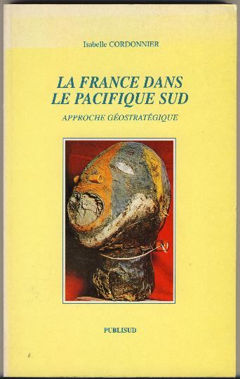
CORDONNIER (Isabelle).
La France dans le Pacifique Sud. Approche géostratégique.
Publisud, 1995, in-8°, 215 pp, une carte, biblio, broché, couv. illustrée, bon état
書籍販売業者の参照番号
: 44294
|
|
|
Corna Pellegrini Giacomo, Raiteri Silvio.
NUOVA ZELANDA.
(Codice VI/0232) In 4º 199 pp. Illustrato con molte bellissime fotografie di Andrea Pistolesi, in gran parte a colori anche a piena e doppia pagina. Cartone editoriale, titolo oro, sovraccoperta. OTTIMO STATO. ~~~ SPEDIZIONE IN ITALIA SEMPRE TRACCIATA

|
|
|
Cornell, Gwenda
PACIFIC ODYSSEY
The islands of the South Pacific conjure images of idyllic escapes from the fast paced routine of the West. But is that the reality? Author Cornell journeys thence to find out ; B&W Photographs; 8vo; 218 pages
|
|
|
Corner, E.J.H. (ed.)
A Discussion on the Results of the Royal Society Expedition to the British Solomon Islands Protectorate, 1965.
1969 447 p., num. figs, pls and maps, 4to, paperbound.Published in: Philosophical Transactions of the Royal Society of London. Series B, Biological Sciences.With numerous contributions: Geology, vegetation, insects, molluscs, coral reefs, algae, polychaeyes, Opisthobranchs, Flora (Ficus, Orchids Funfi, Palms etc), and several discussions on different topics.
書籍販売業者の参照番号
: NG08357
|
|
|
CORNEVIN, R.
Histoire de la Colonisation allemande.
in-16 broché Bon état. [LP-7]
|
|
|
Cornwall, J Wesley, Ardis Dashiell, and Mount Hope Centennial Committee
Mount Hope Washington: Its History and Its People
Mt Hope Washington: Centennial Committee 1979 1983 1987. Loose-leaf. Fine. History of the farming town & community south of Spokane. Book is complete in a loose-leaf binder. No date on the first section of approximately 100 page. The second section 1983 is a little shorter and then a longer third section 1987. Map photos. <br/><br/> Centennial Committee unknown
書籍販売業者の参照番号
: 18480
|
|
|
CORPS OF ENGINEERS PORTLAND OR NORTH PACIFIC DIV
Energy Engineering Analysis Program for NAHA Port and Torii Station Okinawa Japan
PN. New. 1982. Soft Cover. Date is original print. This is a reprint edition. . PN paperback
書籍販売業者の参照番号
: 764949
|
|
|
CORPS OF ENGINEERS FORT SHAFTER HI PACIFIC OCEAN DIV
Specified Facility Energy Studies for Energy Engineering Analysis Program EEAP at U.S. Army Support command Hawaii USAASCH Installations Ft. Shafter Tripler Army Medical Center Schofield Barracks; Executive Summary
PN. New. 1987. Soft Cover. Date is original print. This is a reprint edition. . PN paperback
書籍販売業者の参照番号
: 780013
|
|
|
COSTELLO (John).
La Guerre du Pacifique. Nouvelle histoire à partir d'archives restées jusqu'ici secrètes.
Pygmalion, 1982-1983, 2 vol. gr. in-8°, 442 et 441 pp, 40 pl. de photos hors texte, 23 cartes, index, brochés, couv. illustrées, tranches sup. piquées, bon état
書籍販売業者の参照番号
: 8429
|
|
|

 検索結果のメールを受信する
 PDFファイルの検索結果をダウンロード
 RSSフィード
 パーマネントリンク


