|
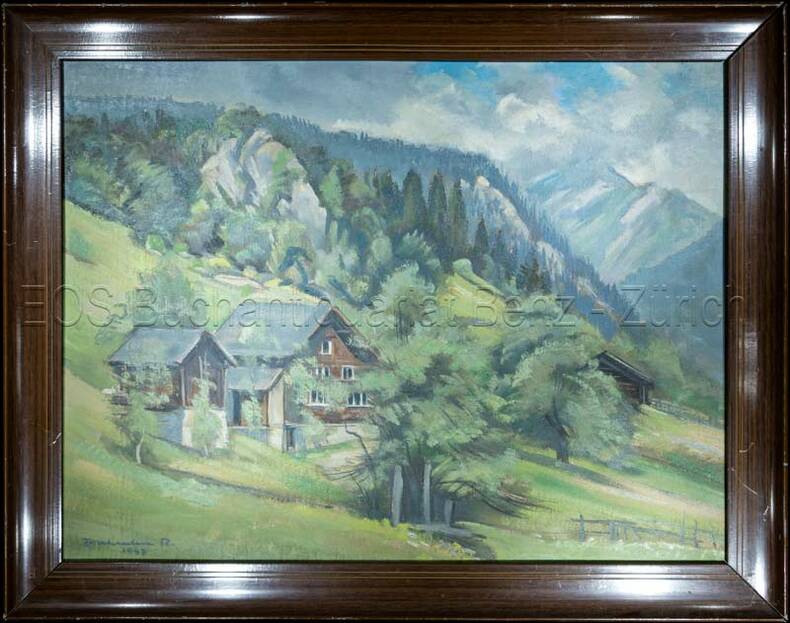
ZURBRIGGEN, Bernhard:
Schauen und Wandern im freiburgischen Senseland. Ein Naturkundeführer.
Wünnewill, Bernhard Zurbriggen, 1996, in-8vo, 223 S., reich ill. mit farbig Fotor. und Abbildungen, Original-Broschüre.
Referentie van de boekhandelaar : 109147aaf
|
|
|
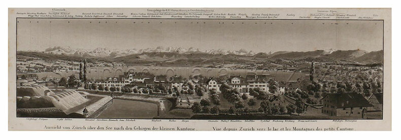
ZURNER Adam Friedrich (1679 - 1742)
Planisphaerium Terrestre Cum Utroque Coelesti, Sive Diversa Orbis Terraquei…
Bell'esemplare della rara mappa del doppio emisfero del mondo di Adam Freidrich Zurner, impreziosita da 26 scene decorative e proiezioni scientifiche dei cieli celesti e teorie e insegnamenti astronomici contemporanei.Il lavoro di Zürner è relativamente sconosciuto, di solito appare negli atlanti di altri editori, come l'Atlas Contractus di Schenk o della famiglia Ottens.Una mappa attraente e interessante ricca di dettagli che comprende la maggior parte della costa dell'Australia, la costa occidentale della Nuova Zelanda e le rotte e le scoperte degli esploratori Magellano, Dampier ("Nova Britannia" nel 1700), Tasman, Gaetani e Chaumont. Intorno alla mappa c'è un bordo elaborato che mostra venti e climi e lungo il bordo inferiore un panorama che illustra tempeste, terremoti, maree, vortici e un commento testuale su tutti i fenomeni naturali illustrati. Acquaforte, finemente colorata a mano in epoca, in ottimo stato di conservazione. Fine example of Adam Freidrich Zurner's scarce double hemisphere map of the World, embellished with 26 decorative scenes and scientific projections of the Celestial skies and contemporary astronomical theories and teachings.Zürner's work is relatively unknown, appearing usually in other publishers' atlases, such as Schenk's Atlas Contractus.An attractive and interesting map full of detail including most of the coast of Australia, the western coast of New Zealand, and the routes and discoveries of explorers Magellan, Dampier ("Nova Britannia" in 1700), Tasman, Gaetani and Chaumont. Surrounding the map is an elaborate border showing winds and climates, and along the bottom edge a panorama illustrating tempests, earthquakes, tides, vortices, and a textual commentary on all the natural phenomena illustrated.California is shown as an island, but very tentatively so, with the coloring suggesting that it may be a peninsula, suggesting early knowledge of Fra. Eusebio Kino's observations from California. Copperplate, fine original colouring, good condition. Shirley, The Mapping of the World, n. 639.

|
|
|
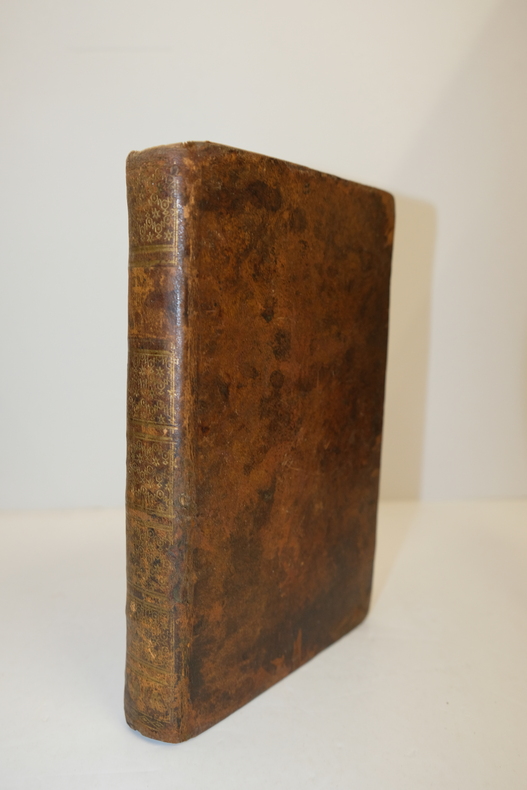
Étienne Bézout
Suite du cours de mathématiques, à l'usage des gardes du pavillon et de la marine, contenant le traité de navigation
1793, Ph.-D. Pierres, Paris. In-8, relié, plein veau de l'époque, dos lisse orné, XII-296pp suivies des "tables à l'usage de la navigation" [45 ff] et bien complet des 10 planches dépliantes in fine. Cachets humides colorés sur le contreplat, ex-libris à la plume sur le faux-titre. Très bon exemplaire
Referentie van de boekhandelaar : MAR923M
|
|
 De zoekresultaten per email ontvangen
 Zoekresultaten downloaden als PDF
 RSS feed