|
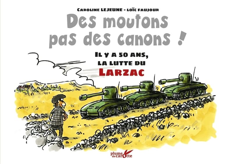
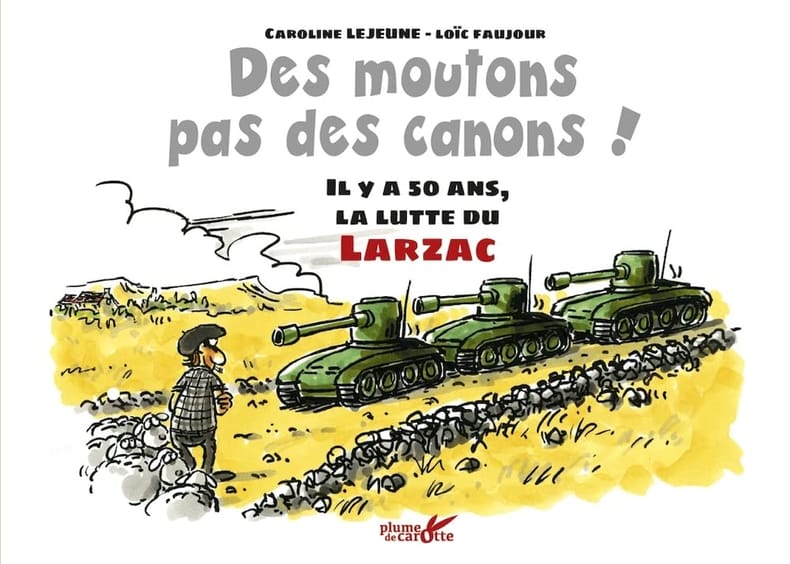
Bové José Lejeune Caroline Faujour Loïc
Des moutons pas des canons ! - Il y a 50 ans la lutte du L: Il y a 50 ans la lutte du Larzac
PLUME CAROTTE 2021 32 pages 14 9x20 9x0 7cm. 2021. Broché. 32 pages.
Riferimento per il libraio : 500075450
|
|
|
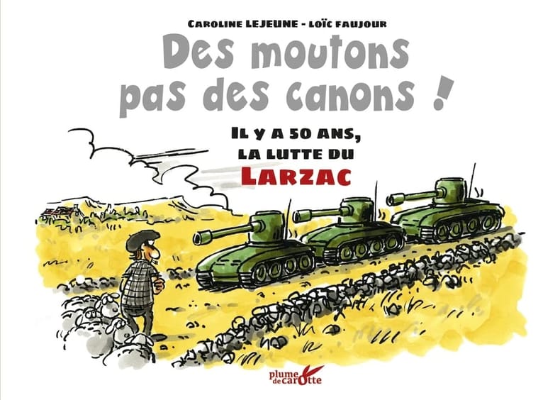
Bové José Lejeune Caroline Faujour Loïc
Des moutons pas des canons ! - Il y a 50 ans la lutte du L: Il y a 50 ans la lutte du Larzac
PLUME CAROTTE 2021 32 pages 14 9x20 9x0 7cm. 2021. Broché. 32 pages.
Riferimento per il libraio : 500075706
|
|
|
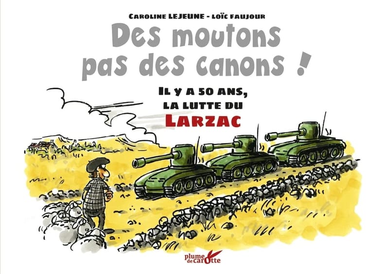
Bové José Lejeune Caroline Faujour Loïc
Des moutons pas des canons ! - Il y a 50 ans la lutte du L: Il y a 50 ans la lutte du Larzac
PLUME CAROTTE 2021 32 pages 14 9x20 9x0 7cm. 2021. Broché. 32 pages.
Riferimento per il libraio : 500075747
|
|
|
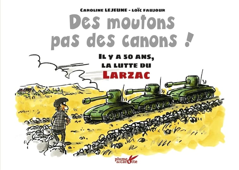
Bové José Lejeune Caroline Faujour Loïc
Des moutons pas des canons ! - Il y a 50 ans la lutte du L: Il y a 50 ans la lutte du Larzac
PLUME CAROTTE 2021 32 pages 14 9x20 9x0 7cm. 2021. Broché. 32 pages.
Riferimento per il libraio : 500076606
|
|
|
Bové José Lejeune Caroline Faujour Loïc
Des moutons pas des canons ! - Il y a 50 ans la lutte du L: Il y a 50 ans la lutte du Larzac
PLUME CAROTTE 2021 32 pages 14 9x20 9x0 7cm. 2021. Broché. 32 pages.
Riferimento per il libraio : 500083810
|
|
|
Bové José Lejeune Caroline Faujour Loïc
Des moutons pas des canons ! - Il y a 50 ans la lutte du L: Il y a 50 ans la lutte du Larzac
PLUME CAROTTE 2021 32 pages 14 9x20 9x0 7cm. 2021. Broché. 32 pages.
Riferimento per il libraio : 500117604

|
|
|
Bové José Lejeune Caroline Faujour Loïc
Des moutons pas des canons ! - Il y a 50 ans la lutte du L: Il y a 50 ans la lutte du Larzac
PLUME CAROTTE 2021 32 pages 14 9x20 9x0 7cm. 2021. Broché. 32 pages.
Riferimento per il libraio : 500182439

|
|
|
BOVARD Pierre-André / BUVELOT Jacques
La côte au bon vieux temps : de Saint-Sulpice à Mies.
Payot, 1975, 176 p., cartonnage éditeur sous jaquette, un ex-libris sur le premier contreplat, l'adhésif de la jaquette se décolle, bon état pour le reste.
Riferimento per il libraio : 86441
|
|
|
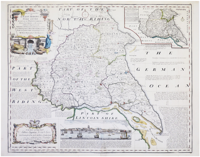
BOWEN (Emanuel).
[YORKSHIRE] An accurate map of the East Riding of York Shire divided into its wapontakes &c.
Londres, John Bowles & Son, & Rob.t Sayer, [circa 1750]. 525 x 652 mm.
Riferimento per il libraio : LBW-7675
|
|
|
Bowles, Samuel.
OUR NEW WEST. Records of Travel Between the Mississippi River and the Pacific Ocean. A Full Description of the Pacific Railroad; and of the Life of the Mormons, Indians, and Chinese.
524p. + Plus Engraved Frontis, map and full page plates. Large 8vo. Disbound. ". Over the plains - over the mountains - through the great interior basin-over the Sierra Nevadas-to and up and down the Pacific coast. With details of the wonderful natural scenery, agriculture, mines, busines, social life, progress, and prospects of Colorado, Wyoming, Utah, Idaho, Montana, Nevada, California, Oregon, Washington, and British Columbia; including a full description of the Pacific Railroad; and of the life of the Mormons, Indians, and Chinese." Rader 432; Flake 767; Sabin 7079. AMERICANA BOX 6
|
|
|
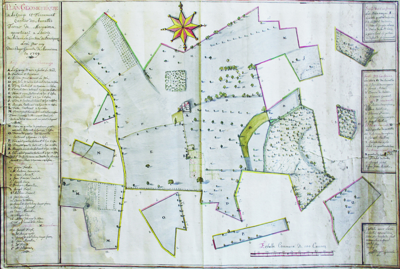
BOYER (Denis).
Plan géométrique de la grange et tennement, quartier des Aumettes, terroir de Mormoiron, appartenant à l'hoirie de Madame la Comtesse des Henriquez. Levé par moy, Denis Boyer, géomètre de Mormoiron, en 1789.
1789. 63 x 94 cm, sur une feuille de 66 x 96,5 cm.
Riferimento per il libraio : LBW-6641
|
|
|
Boyd, Andrew
An Atlas of World Affairs
160 pages, maps, index, slight wear to covers, (University Paperbacks ; UP91) eng
|
|
|
Boyle, R.W.
A Decrepitation Study of Quartz from the Campbell and Negus-Rycon Shear Zone Systems, Yellowknife, Northwest Territories
vi, 20 pages with two maps in pocket at back. Geological Survey of Canada Bulletin 30 (Thirty). Bit of writing and two faint stamps on front cover. Average wear. Binding intact. A sound copy. Book

|
|
|
BP
Wales
1 folded map. Good. Scale 4 miles = 1 inch. (BP touring service). 14644. eng
|
|
|
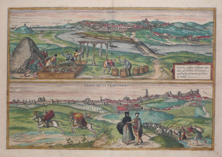
BRAUN (Georg) & HOGENBERG (Frans).
[ANDALOUSIE] Conil - Xeres de la Frontera.
[Cologne, 1572]. 351 x 497 mm.
Riferimento per il libraio : LBW0621b
|
|
|
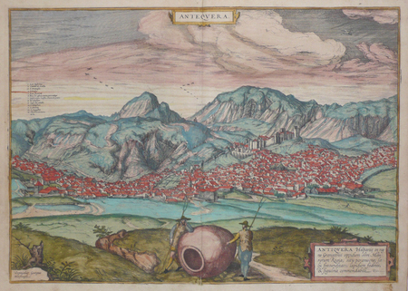
BRAUN (Georg) & HOGENBERG (Frans).
[ANDALOUSIE] Antequera.
[Cologne, 1572]. 351 x 497 mm.
Riferimento per il libraio : LBW0621c
|
|
|
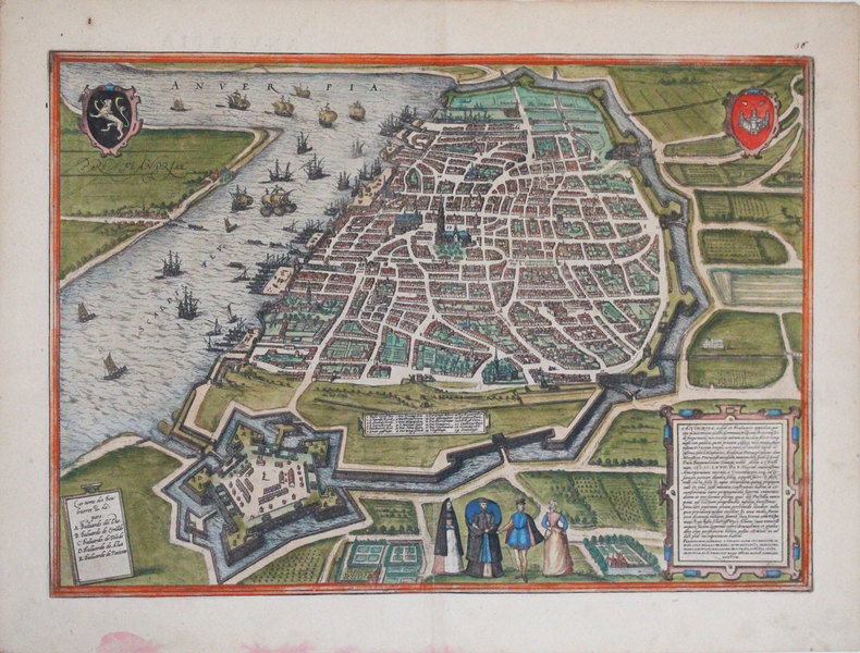
BRAUN (Georg) & HOGENBERG (Frans).
[ANVERS] Anverpia.
[Cologne, 1572]. 338 x 479 mm.
Riferimento per il libraio : LBW-3249
|
|
|
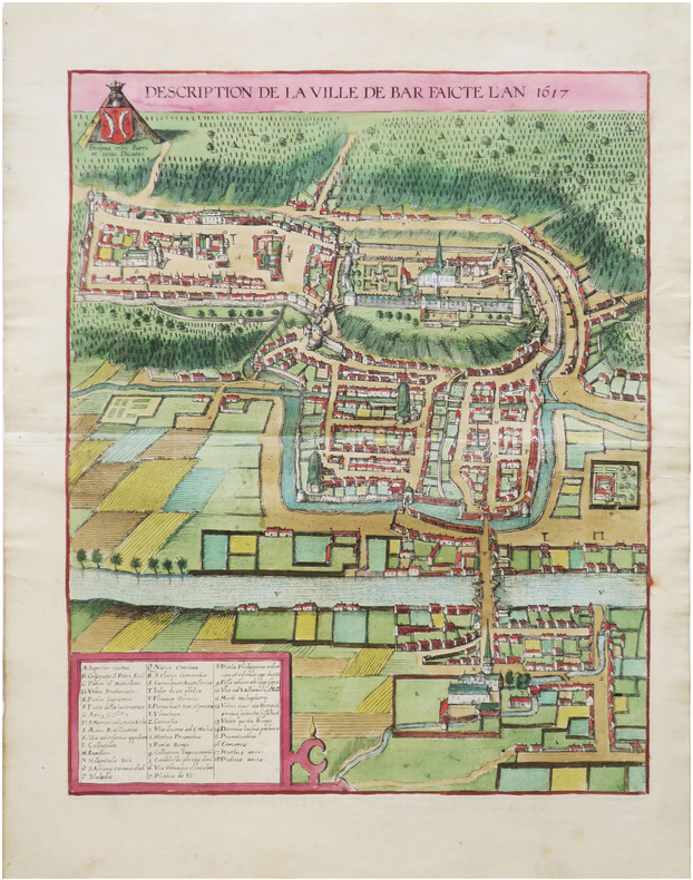
BRAUN (Georg) & HOGENBERG (Abraham).
[BAR-le-DUC] Description de la ville de Bar faicte l'an 1617.
[Cologne, 1618]. 438 x 347 mm.
Riferimento per il libraio : LBW-9011
|
|
|
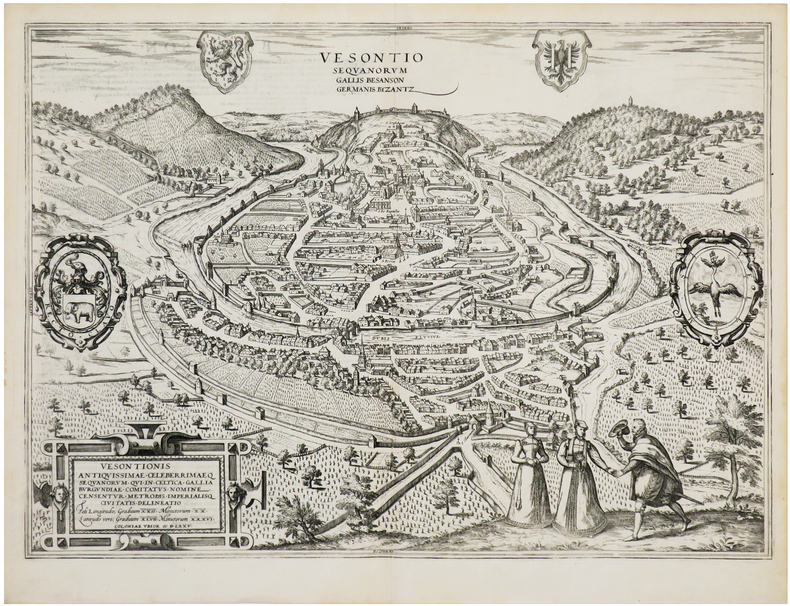
BRAUN (Georg) & HOGENBERG (Frans).
[BESANÇON] Vesontio Sequanorum Gallis Besanson Germanis Byzantz.
[Cologne, 1575]. 353 x 493 mm.
Riferimento per il libraio : LBW-7194
|
|
|
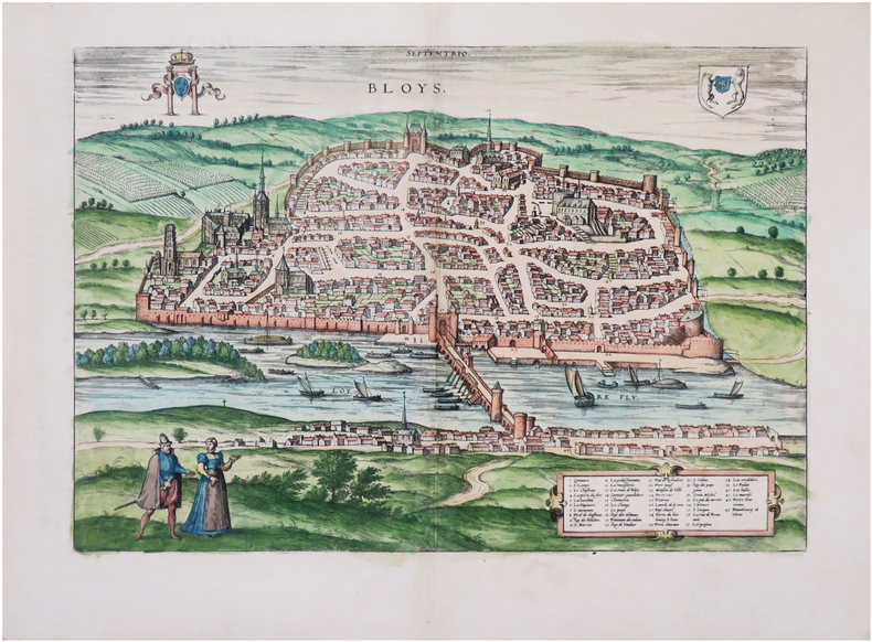
BRAUN (Georg) & HOGENBERG (Frans).
[BLOIS] Bloys.
[Cologne, 1575]. 308 x 438 mm.
Riferimento per il libraio : LBW-7902
|
|
|
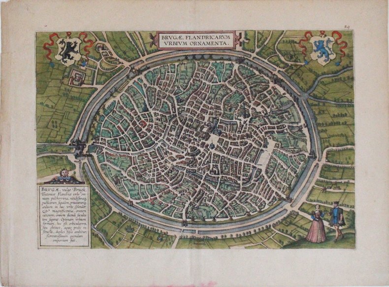
BRAUN (Georg) & HOGENBERG (Frans).
[BRUGES] Brugæ, Flandricarum urbium ornamenta.
[Cologne, 1572]. 310 x 453 mm.
Riferimento per il libraio : LBW-3254
|
|
|
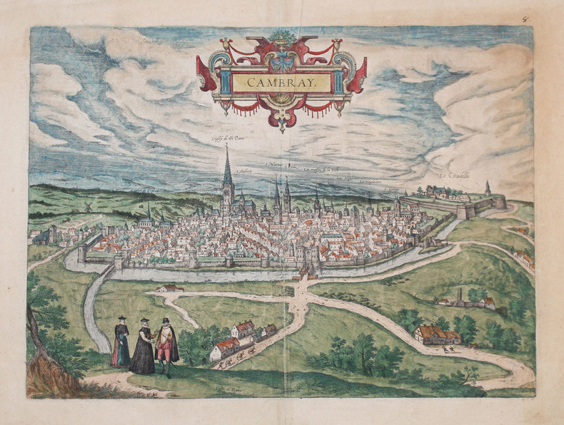
BRAUN (Georg) & HOGENBERG (Frans).
[CAMBRAI] Cambray.
[Cologne, 1588]. 355 x 495 mm.
Riferimento per il libraio : LBW-3234
|
|
|
BRAUN (Georg) & HOGENBERG (Frans).
[CANTERBURY] Cantuarbury.
[Cologne, 1588]. 289 x 431 mm.
Riferimento per il libraio : LBW-3243

|
|
|
BRAUN (Georg);HOGENBERG (Frans);
[COSTUMES] Diversi Dithmarsorum et vicinarum gentium habitus.
Cologne 1598 362 x 495 mm.
Riferimento per il libraio : LBW0028b

|
|
|
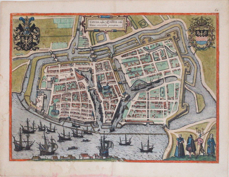
BRAUN (Georg) & HOGENBERG (Frans).
[EMDEN] Emuda, vulgo Embden urbs Frisiæ orientalis primaria.
[Cologne, 1588]. 347 x 486 mm.
Riferimento per il libraio : LBW-3306
|
|
|
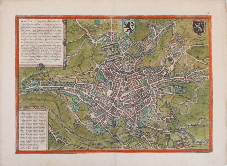
BRAUN (Georg) & HOGENBERG (Frans).
[GAND] Gandavum, amplissima Flandriæ urbs.
[Cologne, 1572]. 336 x 480 mm.
Riferimento per il libraio : LBW-3298
|
|
|
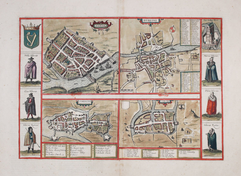
BRAUN (Georg) & HOGENBERG (Frans) & JANSSON (Johannes).
[IRLANDE] Galwaye - Dubline - Lymericke - Corcke.
[Amsterdam, 1657]. 306 x 438 mm.
Riferimento per il libraio : LBW-3186
|
|
|
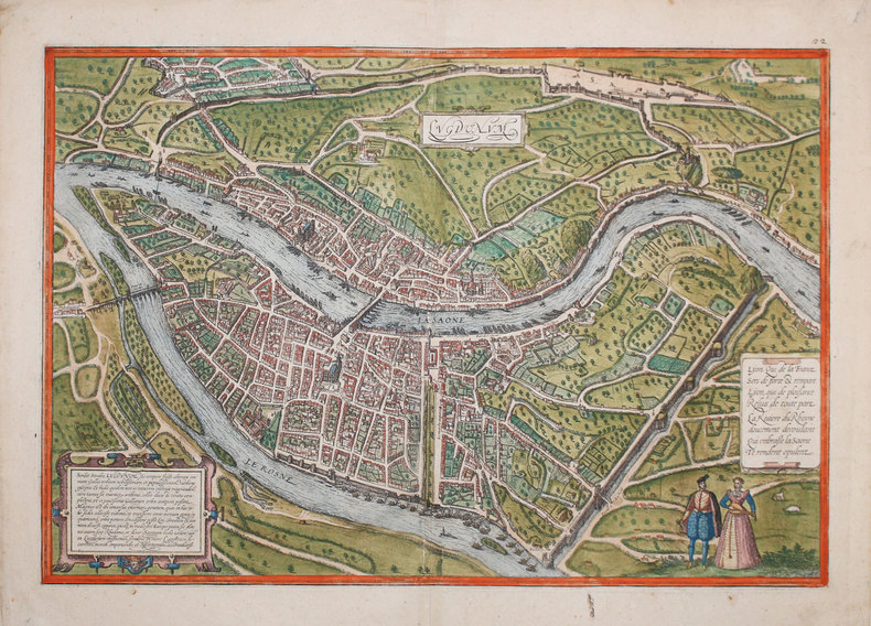
BRAUN (Georg) & HOGENBERG (Frans).
[LYON] Lugdunum.
[Cologne, 1572]. 355 x 495 mm.
Riferimento per il libraio : LBW-3233
|
|
|
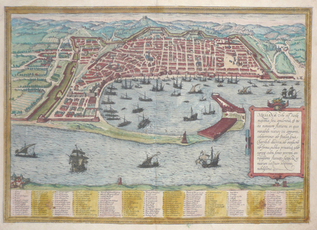
BRAUN (Georg);HOGENBERG (Frans);
[MESSINE] Messana urbs est Sicilie maxima.
Cologne 1572 341 x 484 mm.
Riferimento per il libraio : LBW02e81
|
|
|
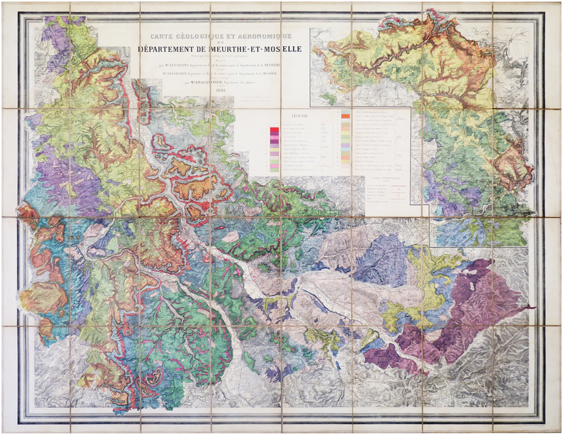
BRACONNIER (Alfred).
[MEURTHE-et-MOSELLE] Carte géologique et agronomique du département de Meurthe-et-Moselle.
1882. En 32 sections montées sur toile et repliées, formant une carte de 1,14 x 1,44 m.
Riferimento per il libraio : LBW-7953
|
|
|
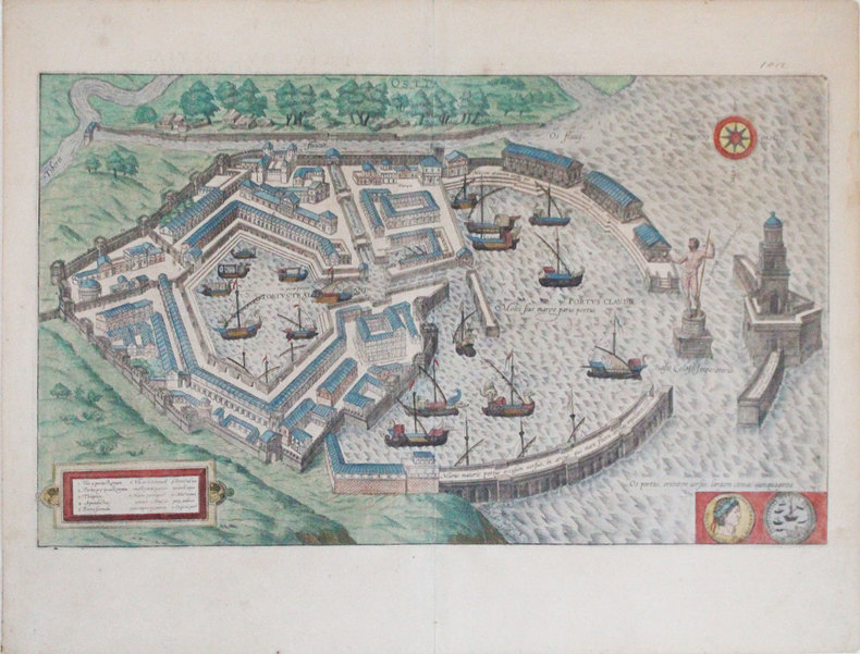
BRAUN (Georg) & HOGENBERG (Frans).
[OSTIE] Ostia.
[Cologne, 1588]. 294 x 496 mm.
Riferimento per il libraio : LBW-3307
|
|
|
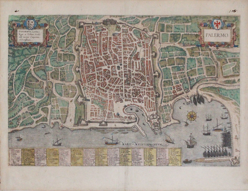
BRAUN (Georg) & HOGENBERG (Frans).
[PALERME] Palermo.
[Cologne, 1588]. 324 x 500 mm.
Riferimento per il libraio : LBW-3308
|
|
|
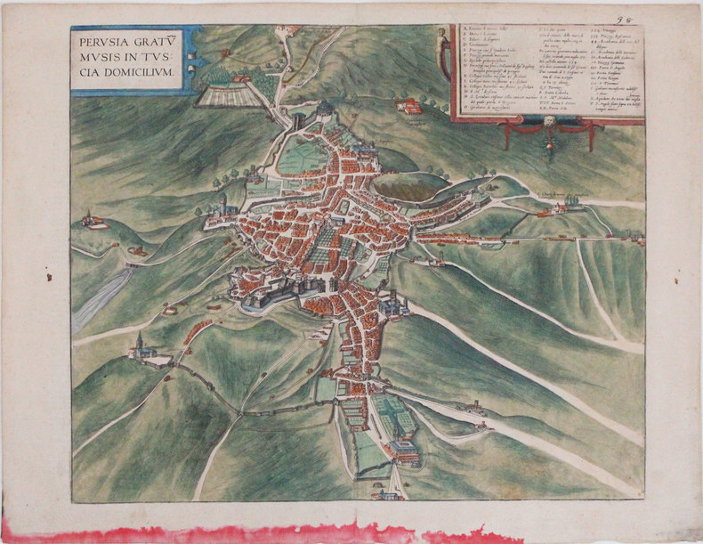
BRAUN (Georg) & HOGENBERG (Frans).
[PÉROUSE] Perusia gratum musis in Tuscia domicilium.
[Cologne, 1588]. 364 x 439 mm.
Riferimento per il libraio : LBW-3300
|
|
|
BRAUN (Georg) & HOGENBERG (Abraham) & HOGENBERG (Frans).
[STRASBOURG] Argentoratum - Strassburg.
[Cologne, 1620]. 339 x 425 mm pour le plan, et 214 x 384 mm pour la vue contrecollée au dos.
Riferimento per il libraio : LBW-8932

|
|
|
BRAIVE (Georges).
[ÎLE d'YEU/VENDÉE] Île Dieu. Île d'Yeu, anc.t Insula de Oya, Oias, puis Oys.
Île d'Yeu, G. Penaud, "Nouvelles Galeries Insulaires", 1938. 237 x 349 mm.
Riferimento per il libraio : LBW-8221

|
|
|
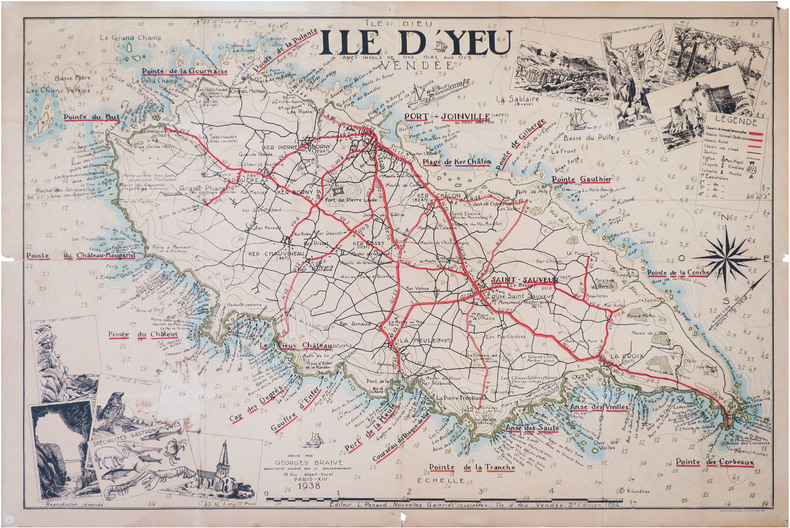
BRAIVE (Georges).
[ÎLE d'YEU/VENDÉE] Île Dieu. Île d'Yeu, anc.t Insula de Oya, Oias, puis Oys.
Île d'Yeu, L. Penaud - Nouvelles Galeries Insulaires, 1938-1954. 0,71 x 1,05 m.
Riferimento per il libraio : LBW-8820
|
|
|
Bravo Emile:
Aleksis Strogonov.
1552 Ex-libris (sérigraphie) au format 15,5 x 22 cm. Microscopiques frottements en coins.
Riferimento per il libraio : 24396

|
|
|
Brandao Adriana
Aujourd'hui le Bresil
Casterman 2014 144 pages 20 2x25 1x1 1cm. 2014. Relié. 144 pages.
Riferimento per il libraio : 500058969

|
|
|
Brandao Adriana
Aujourd'hui le Bresil
Casterman 2014 144 pages 20 2x25 1x1 1cm. 2014. Relié. 144 pages.
Riferimento per il libraio : 500078500

|
|
|
Brandao Adriana
Aujourd'hui le Bresil
Casterman 2014 144 pages 20 2x25 1x1 1cm. 2014. Relié. 144 pages.
Riferimento per il libraio : 500078508

|
|
|
Brandao Adriana
Aujourd'hui le Bresil
Casterman 2014 144 pages 20 2x25 1x1 1cm. 2014. Relié. 144 pages.
Riferimento per il libraio : 500093062

|
|
|
Brandao Adriana
Aujourd'hui le Bresil
Casterman 2014 144 pages 20 2x25 1x1 1cm. 2014. Relié. 144 pages.
Riferimento per il libraio : 500095025

|
|
|
Brandao Adriana
Aujourd'hui le Bresil
Casterman 2014 144 pages 20 2x25 1x1 1cm. 2014. Relié. 144 pages.
Riferimento per il libraio : 500121600

|
|
|
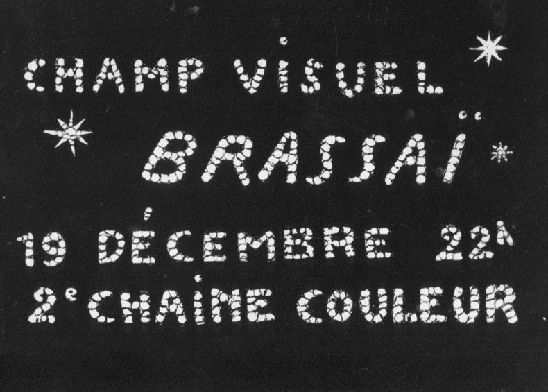
BRASSAI.
Photo-carte avec la signature autographe de Brassaï au verso (années 1970).
Carte postale (10,5 x 15 cm), années 70. Annonce du documentaire télévisé "Champ visuel Brassaï - 19 décembre 22 h - 2e chaîne couleur". Signé au dos par le photographe.
Riferimento per il libraio : 68129
|
|
|
BRASSAI.
Photo-carte avec la signature autographe de Brassaï au verso (années 1970).
Carte postale (10,5 x 15 cm), années 70. Annonce du documentaire télévisé "Champ visuel Brassaï - 19 décembre 22 h - 2e chaîne couleur". Signé au dos par le photographe.
Riferimento per il libraio : 68129
|
|
|
Braun, Georg (1541-1622) et Hogenberg, Frans (1539?-1590?)
PLAN DE CHARTRES, tiré de l'Atlas : "Civitates orbis terrarum liber primus", Coloniae Agrippinae : [s.n.], 1573
1573 PLAN ANCIEN en couleurs, colorée d'époque à la main, en marron, bleu, vert et rouge. Format total : 40 centimètres de haut par 31 centimètres de large, réalisée par Braun, Georg et Hogenberg, Frans , tiré de l'ATLAS : "Civitates orbis terrarum liber primus", 1573 Coloniae Agrippinae : [s.n.] Editeur,
Riferimento per il libraio : 8976
|
|
|
Braby
Braby?s Directories Cover Southern Afrika (Road and Rail Map)
LTD, Brown Davis & Platt, o.J. Faltkarte, einseitig bedruckt mit farbiger Landkarte von Südafrika, Teilstücke von Afrika (Rhodesia, Zambia and Malawi), Statistik-Tabelle und Werbeanzeigen sowie Index, 100x70 cm groß, leichte Einrisse und Kantenbeschabungen, wenige Bleistifteinträge, gebräunt, insgesamt noch ordentlicher Zustand
Riferimento per il libraio : 262704ge

|
|
|
Bradley, John
Allied Intervention in Russia
251 pages. Index of names. Bibliography. Maps. "Almost 50 years after the event, the Alliled intervention in Russia following the Bolshevik seizure of power in 1917 remains a conroversial issue. For that reason, and because so much government documentary material has remained inaccessible, it has been badly neglected by professional historians... Provides a wealth of completely new material... The obscure beginnings of the intervention, November 1917 to August 1918, are thoroughly explained, and the role of Japan and Czechoslovakia Corps in the military strategy of the Allies is examined." - from dust jacket. Usual library markings. Above-average wear. Front hinge open. Reading copy only. Book

|
|
|
Bradshaw, Marian Hahn
Canadian Collector Magazine, May/June 1985, Volume 20, No. 3: The Lachine Rapids
100 pages. Features: The Lachine Rapids and their mark on history; Indian trade silver in the McCord Museum collection; Lords of the Lakes - the North West Company 1784-1821; Wintering Dishes - recalling the famed Beaver Club dinners (with recipes!); Trade and Empire - Fishermen began fur trade in New France; The Challenge of Heritage Conservation (in English and French); Several articles in French; Domestic Interiors - Parks Canada's designated houses in Quebec; Exhibit of five centuries of old and rare maps; The Liliane Stewart Collection; Counterfeit Canadiana I; Paperweights. Light wear. Quality copy. Book

|
|
|
BRAMBILLA Ambrogio attivo a Roma tra il 1579 ed il 1599
Nova Urbis Romae Descriptio Anni 1587
Rarissima pianta prospettica della città dal Gianicolo, incisa da Ambrogio Brambilla per il tipografo Girolamo Franzini. Si tratta di una piccola pianta, dipendente da quella che il Brambilla stesso incise per Claudio Duchetti nel 1582, aggiornata in parte alla riforma urbanistica di Sisto V. Sono raffigurati gli obelischi di S. Pietro, S. Giovanni e S. M. Maggiore e la via Nova. L’opera è di grandissima rarità; Hülsen (1915) descrive due esemplari nei cataloghi di inizio secolo delle librerie antiquarie romane Rappaport e Lang. Marigliani (2007) riproduce l’esemplare di una collezione privata romana, con una legenda è molto nutrita, addirittura stampata su una lastra separata; è composta da 136 rimandi, dei quali i primi 114 derivano dalla pianta del 1582.In alto, nel riquadro di sinistra, troviamo il titolo e le indicazioni editoriali: NOVA URBIS ROMAE DESCRIPTIO ANNI 1587. Per Ambrosiu s brambilla spictore[m] delineatu s et incisa m. Nel riquadro di destra si legge: Roma fu edifficata gl’anni del mondo 5550 e da poi la destruttione de Troia anni 753 da Romolo, e Remo, fratelli nati da Silvia figliola de Numitore Re de Albano: fu anticame[n]te il suo circuito de le mura miglia 32.Orientazione nei quattro lati al centro con il nome dei punti cardinali: SEPTENTRIO, MERIDIES, OCCIDENS, ORIENS, il nord è a sinistra. Acquaforte e bulino, stampata su carta vergata coeva, con ampi margini, in perfetto stato di conservazione.BibliografiaBifolco - Ronca, Cartografia e Topografia italiana del XVI secolo (2018), pp. 2406-2407, tav. 1238; Ganado (1994): II, n. 116 e III. n. 93; Hülsen (1915): XVIa, p. 63-64, n. 80; Marigliani (2007): n. 60. A very rare map of the city from the Janiculum Hill, engraved by Ambrogio Brambilla for the publisher Girolamo Franzini. It is a small map, based on the one that Brambilla himself engraved for Claudio Duchetti in 1582, partly updated to the urban reform of Sixtus V. The obelisks of S. Pietro, S. Giovanni and S. M. Maggiore and the via Nova are represented. The work is of great rarity; Hülsen (1915) describes two examples in the catalogs of the beginning of the century of the Roman antique bookshops Rappaport and Lang. Marigliani (2007) reproduces the exemple of a private Roman collection, with a very large legend, even printed on a separate plate; it is composed of 136 references, of which the first 114 derive from the map of 1582.Above, in the left box, we find the title and the printing details: NOVA URBIS ROMAE DESCRIPTIO ANNI 1587. For Ambrosiu s brambilla spictore[m] delineatu s et incisa m. Orientation in the four sides with the name of the cardinal points: SEPTENTRIO, MERIDIES, OCCIDENS, ORIENS, the north is on the left. Etching and engraving, printed on contempoary laid paper, with wide margins, in perfect condition.LiteratureBifolco - Ronca, Cartografia e Topografia italiana del XVI secolo (2018), pp. 2406-2407, tav. 1238; Ganado (1994): II, n. 116 e III. n. 93; Hülsen (1915): XVIa, p. 63-64, n. 80; Marigliani (2007): n. 60. Bifolco - Ronca, Cartografia e Topografia italiana del XVI secolo (2018), pp. 2406-2407, tav. 1238.

|
|

 Ricevere i risultati per e-mail
 Scaricare i risultati in PDF
 RSS feed
 Link
Link


