|
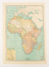
[AFRICA - MAP].
Africa.
New York.: Rand McNally & Co. 1899. Printed colour map 36.3 x 24.3 cm inset map of the Suez Canal and two smaller insets of the Cardagos Crayos Islands Mascarene Islands and Cape Verde Islands central fold and on the verso a printed panel listing the countries in Africa with their territorial governance area and population lower corner creased at the outer margin but in very good condition. An interesting late nineteenth-century map noting colonial governance. . Rand, McNally & Co. unknown
Referentie van de boekhandelaar : 174902
|
|
|
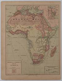
[AFRICA - PRE-COLONIAL ERA MAP]
Physical and Political Map of Africa.
New York.: Harper & Brothers. circa1877. Chromolithographed map with outlne handcolour 27.1 x 21 cm major towns marked with a red cross relief by hachures ocean currents marked two inset maps of the Suez canal and Mascarene Island two very small marginal edge tears not affecting the map slight toning unrelated text on the verso prepared for "Harper's School Geography" in very good condition Interesting map of Africa before the escalation of the European race for colonial possessions from 1880. The map shows: the European possessions of the Cape Colony Transvaal Republic Orange River Republic and Natal; regions of the continent as fertile belts and desert belts; and indicates agricultural and other production such as palm oil ivory skins and cattle. Major cities are shown with important trade centers highlighted with a red cross. Prepared for US students in "Harper's School Geography" longitude is shown from the Greenwich prime meridian at the head of the map and from the Washington prime meridian at the foot. A small outline map of Ohio is included for relative scale. . Harper & Brothers. unknown
Referentie van de boekhandelaar : 176015
|
|
|
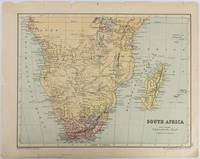
[AFRICA - MAP].
South Africa.
Edinburgh & London.: W. & A. K. Johnston. circa1877. Printed colour map 25 x 32.5 cm edge tears one affecting the lower border only two small chips from the upper margin corner repaired the map in very good condition. Map of North America with a small inset of the British Isles on the verso. Map of Southern Africa before the Scramble for Africa in the late 19th Century. . W. & A. K. Johnston. unknown
Referentie van de boekhandelaar : 177228
|
|
|
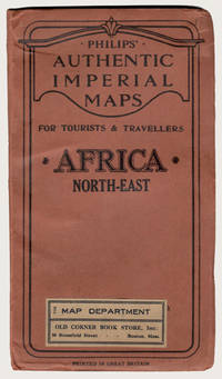
[Africa Maps]; Philip George
PHILIPS' AUTHENTIC IMPERIAL MAP FOR TOURISTS & TRAVELLERS: AFRICA NORTH-EAST
London: George Philip & Son Ltd. ca.1900. Early printing of this map by the cartographic publishing company. Finely rendered in colours. Large multi-folding map approximately 22" x 27" publisher's original protective wrappers printed in black. A very fine copy pristine and very near to mint. George Philip was born in Huntly Aberdeenshire to a staunchly Calvinist family but in 1819 George traveled to Liverpool where his brother Robert who was a nonconformist minister lived. In 1819 he became assistant to the Liverpool bookseller William Grapel and in 1834 set up his own business as a bookseller and stationer in Paradise Street Liverpool. He rapidly expanded the business by producing books particularly educational works and maps. Within his first year of trading to keep up with demand he had to move his business into larger premises at the Atlas Buildings in South Castle Street. <br> Philip used cartographers such as John Bartholomew the elder August Petermann and William Hughes to produce maps on copper plates. Philip then had these printed and hand-coloured by his women tinters. By the time he produced his county maps of 1862 he was using machine coloured maps produced on power-driven lithographic presses. 'His maps ranged from the expensive Imperial Library Atlas 1864 to an atlas costing as little as 3d. and although the bulk of his production was for the commercial and particularly the educational market he also produced important scientific maps notably of North America especially the Arctic and Pacific Northwest Africa and of the West Indies.<br> This is a very fine copy of a scarce map showing the extent of European possessions in North-East Africa before the end of the colonial period. George Philip & Son, Ltd. unknown
Referentie van de boekhandelaar : 29227
|
|
|
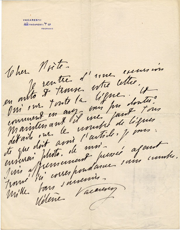
[Aguétant (Pierre)] Vacaresco (Hélène. Bucarest, 1864-1947).
Important dossier manuscrit :
1- Tapuscrit signé, corrigé à la main de la Préface du Poème du Coeur (1914) ; in-4, 6 ff. 2- Manuscrit de la Préface du Poème du Beaujolais ; in-4, 7 ff. 3- "Pierre Aguétant jugé par l'amie de Carmen Sylva" : tapuscrit signé, corrections autographes ; in-folio, 5 ff. 4- Tapuscrit signé "À ajouter à la Préface. Paris 25 février 1923" ; in-4, 2 pp. ; passages autographes signés. 5- Correspondance (15 pièces) avec Pierre Aguétant : L.A.S. et cartes postales de 1913 à fin 1925.
Referentie van de boekhandelaar : 12832
|
|
|
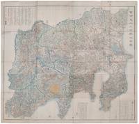
[AKIYAMA EINEN (OR NAGATOSHI)] 秋山永年.
富士見十三州輿地全圖. Fujimi Jūsanshū yochi zenzu. Map of the Thirteen Provinces From Where Mt. Fuji Is Visible.
Shūseidō 衆星堂. Reprint. Tenpō 14 1843. Large folding handcoloured map of the thirteen provinces from which Mt. Fuji can be viewed. 159 x 178cm. Folds into paper covered card covers measuring 40 x 24cm. Title label upper cover. A little browning along folds occasional spotting and soiling. A little worming causing approximately 1cm of loss in places. Two chops in lower section. A very striking and attractive map. This very large handsome map is a detailed map of the thirteen provinces from which one can see Mt. Fuji. Provinces shown are the eight provinces of the Kantō region Sagami 相模 Musashi 武蔵 Kazusa 上総 Shimofusa 下総 Awa 安房 Kōzuke 上野 Shimotsuke 下野 and Hitachi 常陸 and five other provinces Izu 伊豆 Suruga 駿河 Tōtōmi 遠江 Kai 甲斐 and Shinano 信濃. The map offers a large amount of detailed information such as province and county borders rivers high ways post towns checkpoints villages and scenic spots. <br> <br>The cartographer Akiyama Einen or Nagatoshi 秋山永年 came from Edo and the editor Funakoshi Seizō 船越清蔵 studio name: Shugu 守愚 1805-62 a Confucian scholar from Nagato Province now the western half of present-day Yamaguchi Prefecture. A dedication by Funahashi Akira 舟橋徴 is dated 1843. . Shūseidō 衆星堂 unknown
Referentie van de boekhandelaar : 159850
|
|
|
[ALLEMAGNE] SEUTER (Matthaeus) - HOMMAN (Johann Baptist).
BRANDEBOURG - MISNIE - LISENACH - HIDELSHEIM.
Augsbourg, s.d. (1730), Nuremberg, sans date (1730). Quatre cartes entoilées, 60 x 54 cm, repliées dans un étui, dont trois en couleurs. Etui en basane fauve d'époque, roulette dorée sur les plats, dos orné avec le titres des cartes.
Referentie van de boekhandelaar : 18568

|
|
|
[ALSACE] - COLLECTIF (Sous la direction de César-François CASSINI de THURY (1714-1784), cartographe)
Carte de Neuf-Brisach, dite de l'Académie, ou de Cassini.-N° 164.-Feuille 77ème.
S. l. (France), S. é., s.d. (vers 1750) ; 1190 x 2008 mm, feuille en papier vergé de 60 x 91 cm, carte pliée. Carte représentant, au nord, Neubrisack (rive gauche du Rhin) et Vieux Brisack (rive droite du Rhin), au sud Mulhausen (rive gauche du Rhin), le Marquisat de Duriach (rive droite du Rhin), à l'échelle de dix mille toises (1/86 400). Technique de reproduction par impression en taille-douce.
Referentie van de boekhandelaar : _202000544

|
|
|
[ALSACE] - COLLECTIF (Sous la direction de César-François CASSINI de THURY (1714-1784), cartographe)
Carte de Neuf-Brisach, dite de l'Académie, ou de Cassini. - N° 164. - Feuille 77ème.
S. l. (France), S. é., s.d. (vers 1750); 1190 x 2008 mm, feuille en papier vergé de 60 x 91 cm, carte pliée. Carte représentant, au nord, Neubrisack (rive gauche du Rhin) et Vieux Brisack (rive droite du Rhin), au sud Mulhausen (rive gauche du Rhin), le Marquisat de Duriach (rive droite du Rhin), à l'échelle de dix mille toises (1/86 400). Technique de reproduction par impression en taille-douce.

|
|
|
[ANONYME].
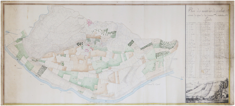
[ARIÈGE] Plan des maiteries de Génibat extrait du plan de la commune de Montoulieu.
[vers 1830]. En deux feuilles jointes de 52 x 118 cm.
Referentie van de boekhandelaar : LBW-7461
|
|
|
[ANONYME].
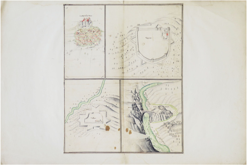
[ARDÈCHE] La Bastide de Virac. Vagnas. Vallon. Pont et Fort Darc.
[fin du XVIIe siècle]. Dessin sur une feuille de 445 x 350 mm, elle-même montée sur une feuille de 490 x 740 mm (montage du XVIIIe siècle).
Referentie van de boekhandelaar : LBW-8636
|
|
|
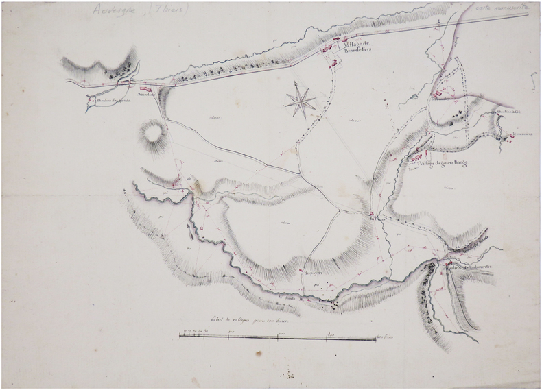
[ANONYME].
[AUVERGNE] Plan de la route de Thiers à Lion [?].
[début du XIXe siècle]. 34,5 x 49 cm.
Referentie van de boekhandelaar : LBW-7434
|
|
|
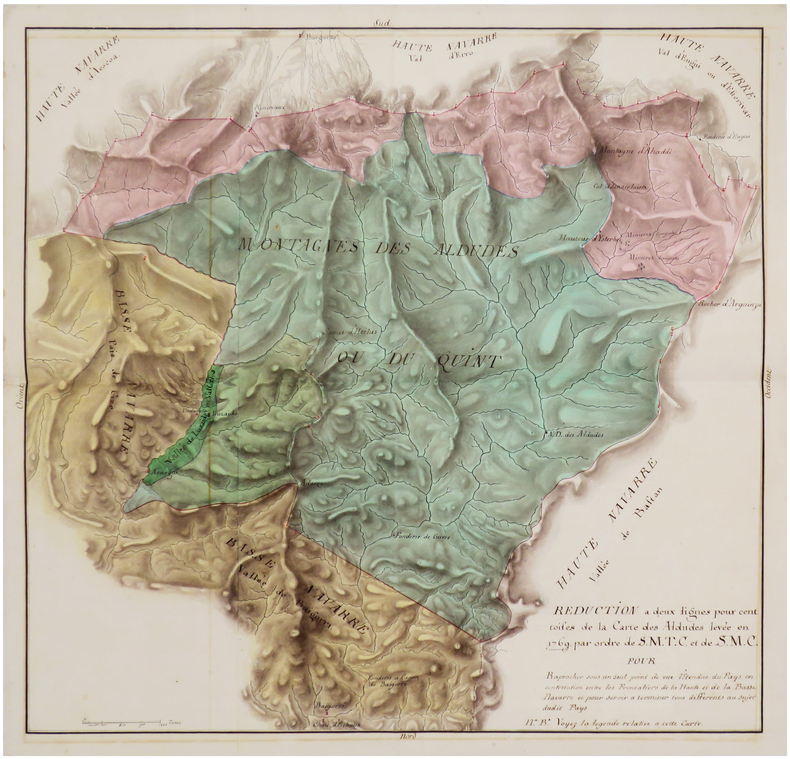
[ANONYME].
[BASSE-NAVARRE] Réduction à deux lignes pour cent toises de la carte des Aldudes par ordre de S.M.T.C. et de S.M.C. pour raprocher sous un seul point de vue l'étendue du pays en contestation entre les frontaliers de la Haute et de la Basse Navarre et pour servir à terminer tous différents au sujet dudit pays.
[vers 1770]. 53 x 54,4 cm.
Referentie van de boekhandelaar : LBW-7476
|
|
|
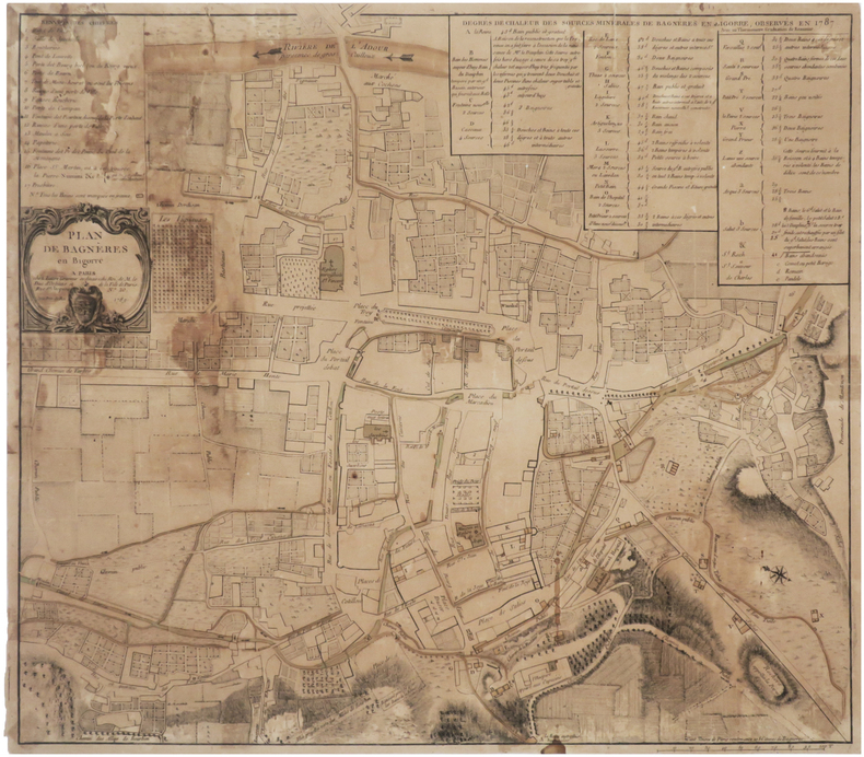
[ANONYME].
[BAGNÈRES-de-BIGORRE] Plan de Bagnères en Bigorre.
Paris, Lattré, 1789. 423 x 476 mm.
Referentie van de boekhandelaar : LBW-7611
|
|
|
[ANONYME].
[BASSIN d'ARCACHON].
[circa 1890]. 405 x 439 mm.
Referentie van de boekhandelaar : LBW-7933

|
|
|
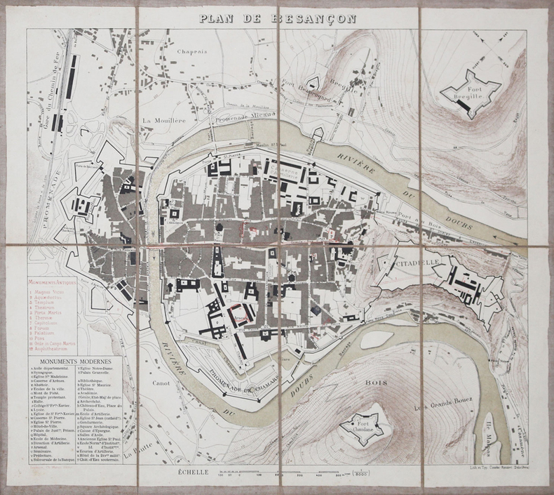
[ANONYME].
[BESANCON] Plan de Besançon.
Besançon, Ch. Marion, [vers 1880]. En 8 sections montées sur toile et pliées, formant un plan de 322 x 367 mm.
Referentie van de boekhandelaar : LBW-3211
|
|
|
[ANONYME].
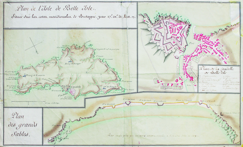
[Belle-Île-en-Mer].
[Milieu du XVIIIe siècle]. 35 x 57,5 cm, sur une feuille de 37 x 60 cm.
Referentie van de boekhandelaar : LBW-6588
|
|
|
[ANONYME].
[BREST] Plan des environs de Brest, d'après les travaux exécutés par les ingénieurs hydrographes, sous la direction de M.r Beautemps-Beaupré.
[début du XIXe siècle]. 540 x 600 mm sur une feuille de papier Whatman de 640 x 715 mm (filigrane en haut et à gauche).
Referentie van de boekhandelaar : LBW-8855

|
|
|
[ANTILLES] — SCHMIDT (Emil) & GOERING (Theodor).
[CANNE à SUCRE] Zuckerrohr - Saccharum officinarum.
Leipzig, F.E. Wachsmuth, [vers 1900]. Lithographie originale (66 x 87 cm), montée sur toile, entre deux baguettes de bois.
Referentie van de boekhandelaar : LBW-8670

|
|
|
[ANONYME].
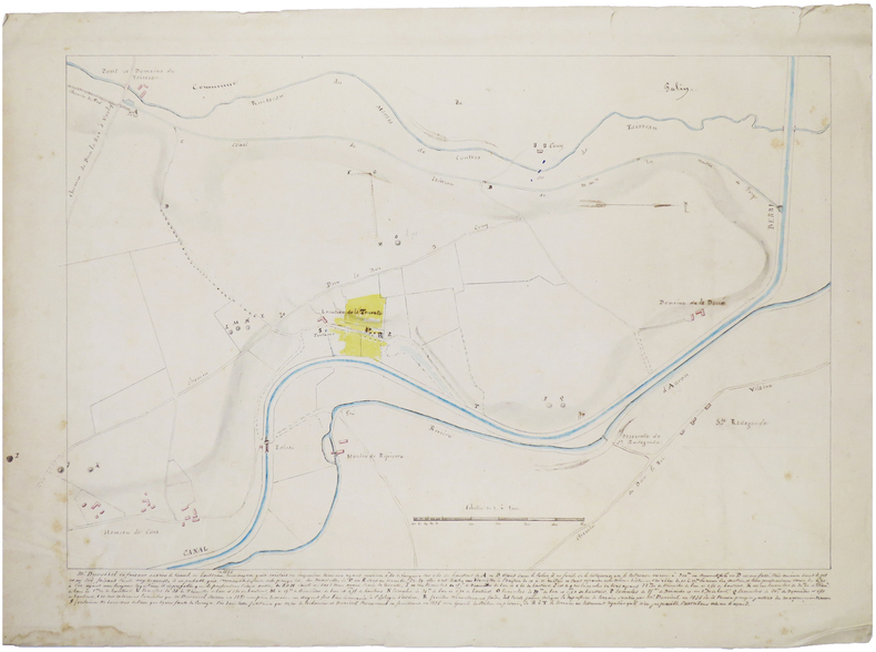
[CHER/BERRY] [Carte des fouilles de La Tourate].
[vers 1860]. 39 x 54 cm.
Referentie van de boekhandelaar : LBW-7459
|
|
|
[ANONYME].
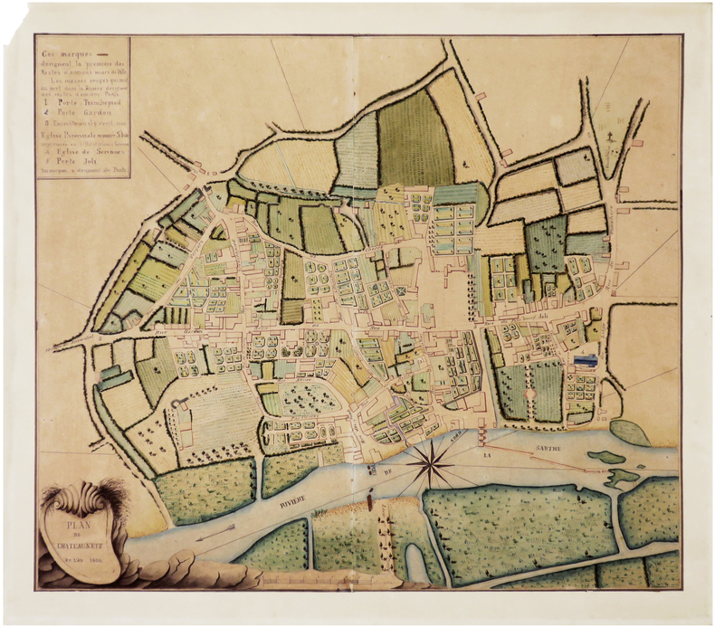
[CHÂTEAUNEUF-sur-SARTHE] Plan de Chateauneuf en l'an 1806.
1806. En deux feuilles jointes formant un plan de 438 x 508 mm, monté sur papier fort.
Referentie van de boekhandelaar : LBW-8918
|
|
|
[ANONYME].
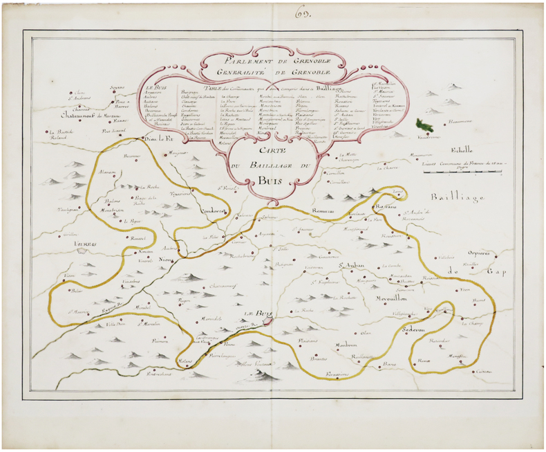
[DRÔME] Carte du baillage de Buis.
[fin du XVIIIe siècle]. 36 x 47,5 cm.
Referentie van de boekhandelaar : LBW-7469
|
|
|
[ANONYME].
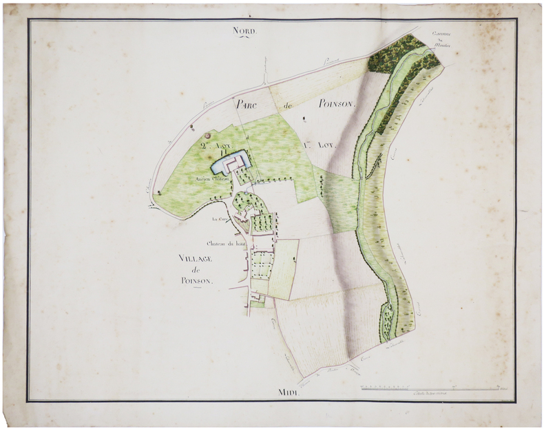
[HAUTE-MARNE] [Ensemble de trois plans de Poinson-lès-Grancey].
[début du XIXe siècle]. 43 x 55 cm chacune.
Referentie van de boekhandelaar : LBW-7456
|
|
|
[ANONYME].
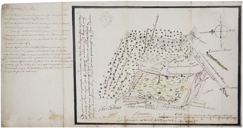
[HAUTE-MARNE] [Plan d'un canton contesté entre deux parties].
1783. 24 x 34 cm.
Referentie van de boekhandelaar : LBW-7462
|
|
|
[ANONYME].
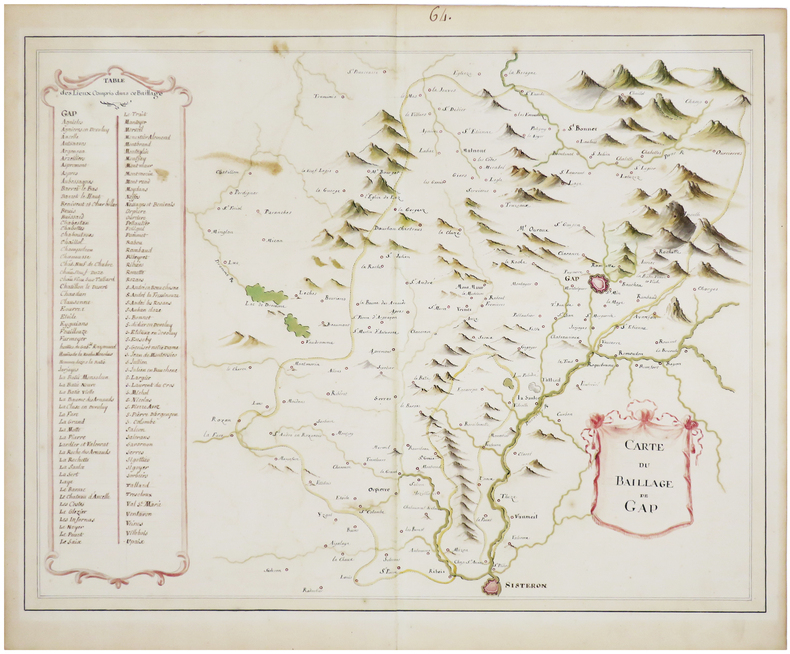
[HAUTES-ALPES] Carte du baillage de Gap.
[fin du XVIIIe siècle]. 38 x 49 cm.
Referentie van de boekhandelaar : LBW-7470
|
|
|
[ANONYME].
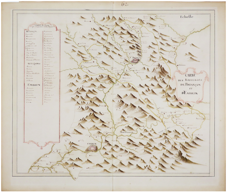
[HAUTES-ALPES] Carte des baillages de Briançon et d'Embrun.
[fin du XVIIIe siècle]. 37 x 45,5 cm.
Referentie van de boekhandelaar : LBW-7471
|
|
|
[ANONYME].
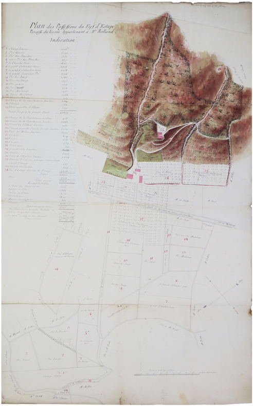
[ISÈRE] Plan des possessions du fief d'Estape, paroisse du Versou, appartenant à M.r Rolland.
[XVIIIe siècle]. En 3 feuilles jointes de 58,5 x 96 cm.
Referentie van de boekhandelaar : LBW-7458
|
|
|
[ANONYME].
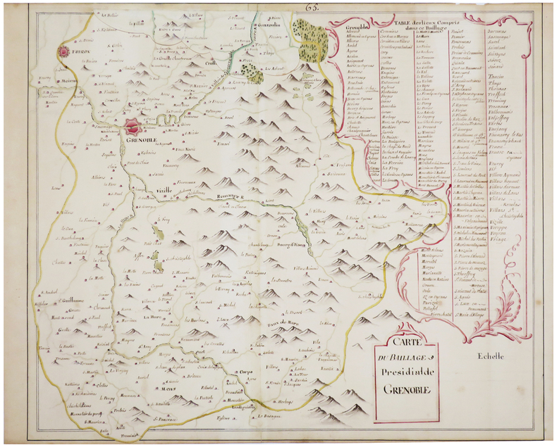
[ISÈRE] Carte du baillage présidial de Grenoble.
[fin du XVIIIe siècle]. 41 x 49 cm, plus une partie mobile de 7 x 20 cm repliée en haut de la carte.
Referentie van de boekhandelaar : LBW-7468
|
|
|
[ANONYME].
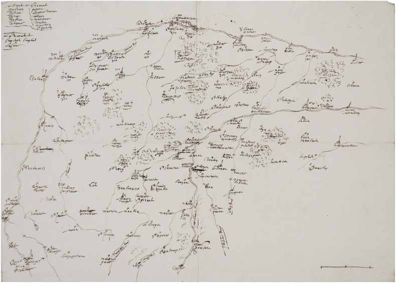
[LIMOUSIN] [Carte d'une partie du cours de la Vienne].
[vers 1700]. 28,5 x 39,6 cm.
Referentie van de boekhandelaar : LBW-7436
|
|
|
[ANONYME].
[LOT-et-GARONNE] [Carte du canton de Casteljaloux].
[début du XIXe siècle]. 16 x 33,5 cm pour les plus grandes dimensions de cette carte au format irrégulier.
Referentie van de boekhandelaar : LBW-7466

|
|
|
[ANONYME].
[LONDRES] London - Londra - Londres - Lóndres.
[vers 1900]. 330 x 423 mm, marges comprises.
Referentie van de boekhandelaar : LBW-8921

|
|
|
[ANONYME].
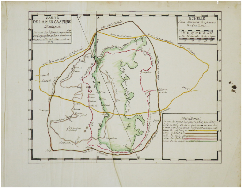
[MER CASPIENNE] Carte de la mer Caspiene, distinguée suivant les différentes représentations des géographes anciens et modernes jointes à celle de Sa Maj. czariene.
1723. 23 x 29 cm.
Referentie van de boekhandelaar : LBW-7453
|
|
|
[ANONYME].
[OISE] Plan d'une partie du terroir de Tracy, vers Attichy.
1770. 42,5 x 59 cm.
Referentie van de boekhandelaar : LBW-7447

|
|
|
[ANONYME].
[Partie de Brinon, Grandvau, les Réaux].
[fin du XVIIIe siècle]. 53,5 x 87 cm, sur une feuille de 63 x 94 cm.
Referentie van de boekhandelaar : LBW-6633

|
|
|
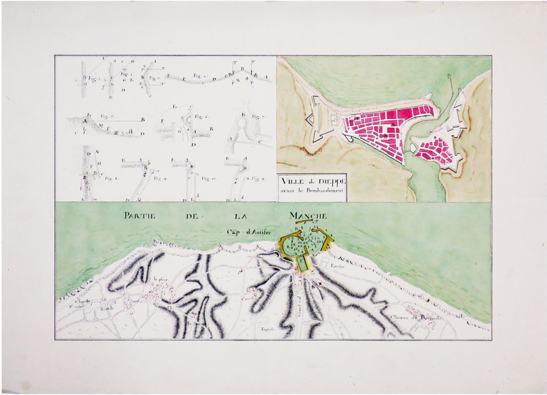
[ANONYME].
[Plan de Dieppe et du cap d'Antifer].
[vers 1780]. 22 x 33,7 cm.
Referentie van de boekhandelaar : LBW-6563
|
|
|
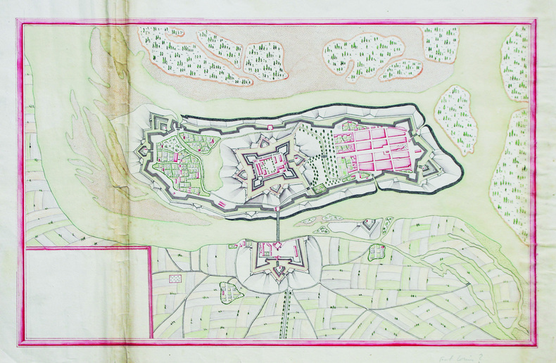
[ANONYME].
[Plan de Fort-Louis].
[milieu du XVIIIe siècle]. 28,5 x 43 cm sur une feuille de 33 x 47 cm.
Referentie van de boekhandelaar : LBW-6593
|
|
|
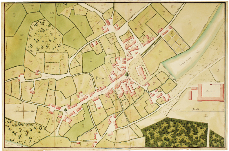
[ANONYME].
[Plan géométral de Brinon].
[fin du XVIIIe siècle]. 61 x 93 cm, sur une feuille de 63 x 95,5 cm.
Referentie van de boekhandelaar : LBW-6632
|
|
|
[ANONYME].
[PUY-de-DÔME] Carte de la généralité de Riom servant à l'indication des lieux pour le passage des troupes marchant par étape.
[fin du XVIIIe siècle]. 43 x 33 cm.
Referentie van de boekhandelaar : LBW-7439

|
|
|
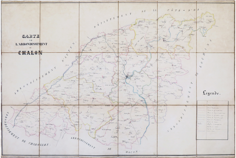
[ANONYME].
[SAÔNE-et-LOIRE] Carte de l'arrondissement de Chalon.
[vers 1850]. En 18 sections montées sur toile et repliées, formant une carte de 69 x 102,5 cm ; sous étui de papier marbré bordeaux, étiquette de titre de papier vert.
Referentie van de boekhandelaar : LBW-7450
|
|
|
[ANONYME].
[SAINT-JEAN-d'ANGÉLY] St Jean d'Angeli.
[XVIIe siècle]. 278 x 360 mm, monté sur une feuille de 488 x 739 mm (montage ancien).
Referentie van de boekhandelaar : LBW-8709

|
|
|
[ANONYME].
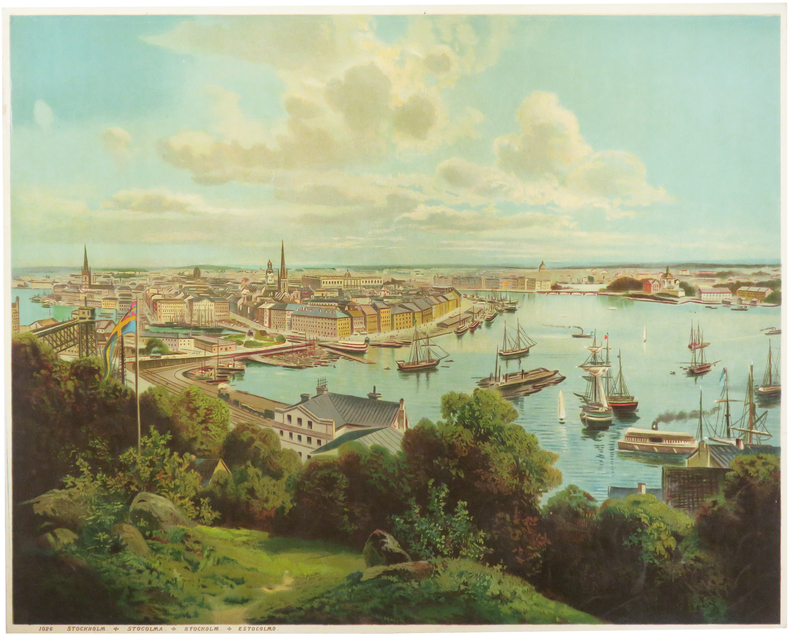
[STOCKHOLM] Stockholm - Stocolma - Stockolm - Estocolmo.
[vers 1900]. 329 x 422 mm, marges comprises.
Referentie van de boekhandelaar : LBW-8937
|
|
|
[ANONYME].
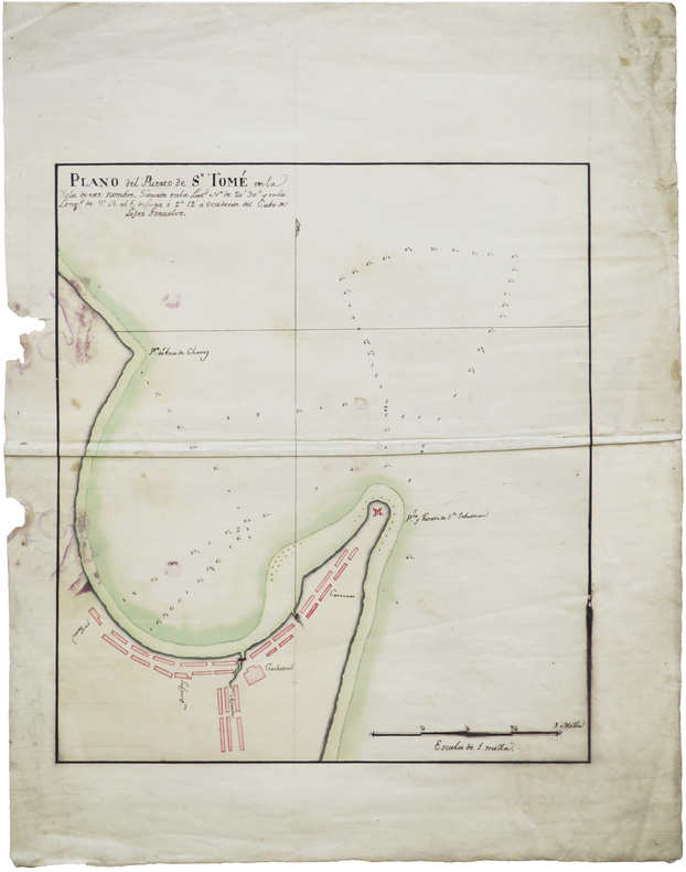
[SÃO TOMÉ-ET-PRÍNCIPE] Plano del puerto de Sn Tomé en la isla de este nombre [plan de la ville de de São Tomé en l'île du même nom].
[XVIIIe siècle]. 375 x 340 mm, sur une feuille de 535 x 430 mm.
Referentie van de boekhandelaar : LBW-9026
|
|
|
[ANONYME].
[TARN] Plan des possessions dépendantes de la mettairie d'en Darassou sittuée au lieu de Flamarens, commune de Lavaur.
[vers 1790]. 48 x 75 cm sur deux feuilles jointes.
Referentie van de boekhandelaar : LBW-7443

|
|
|
[ANONYME].
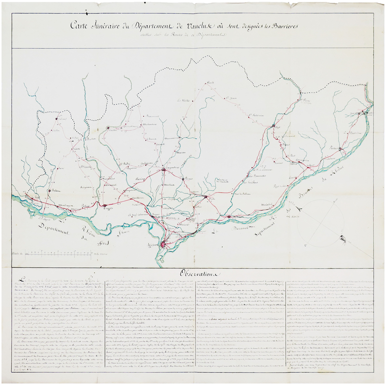
[VAUCLUSE] Carte itinéraire du département de Vaucluse où sont désignées les barrières établies sur les routes de ce département.
[vers 1790]. 62 x 62,5 cm.
Referentie van de boekhandelaar : LBW-7464
|
|
|
[ANONYME].
[Vue des Bains de la Samaritaine].
[circa 1850]. 244 x 375 mm ; monté sur passe-partout (seuls les deux coins supérieurs sont fixés).
Referentie van de boekhandelaar : LBW-8931

|
|
|
[ANONYME].
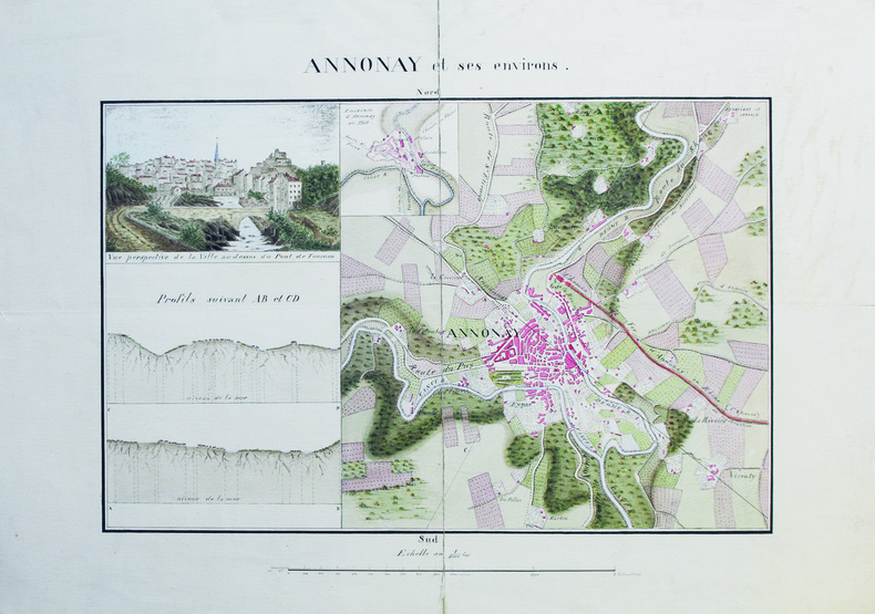
Annonay et ses environs.
[vers 1870]. 27 x 41 cm, sur deux feuilles jointes de 40 x 55 cm.
Referentie van de boekhandelaar : LBW-6585
|
|
|
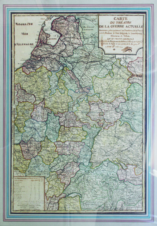
[ANONYME].
Carte du théâtre de la guerre actuelle.
1793. 65 x 46 cm ; encadrement de bois doré moderne.
Referentie van de boekhandelaar : LBW-6575
|
|
|
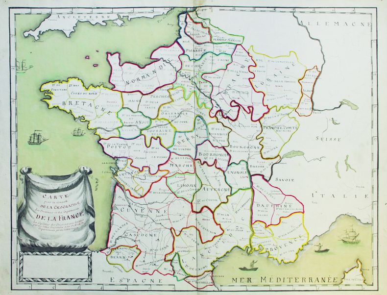
[ANONYME].
Carte pour la concorde de la géographie des provinces et des départements de la France.
[vers 1792-1793]. 48,5 x 61,5 cm, sur une feuille de 51,2 x 66,5 cm.
Referentie van de boekhandelaar : LBW-6579
|
|
|
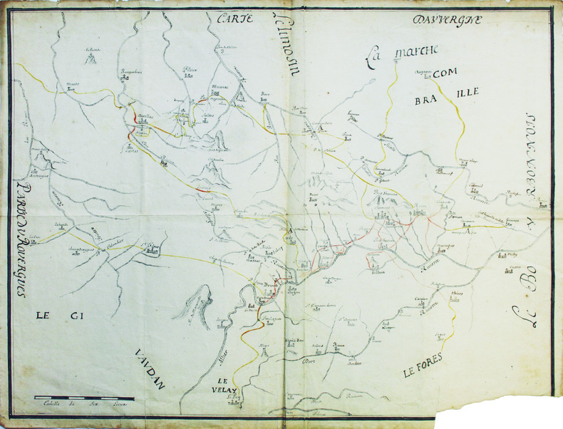
[ANONYME].
Carte d'Auvergne.
[XVIIIe siècle]. 50,5 x 64 cm, sur une feuille de 53 x 66,5 cm.
Referentie van de boekhandelaar : LBW-6583
|
|
|
[ANGERS] CASSINI
Carte générale de la France. [Angers]. N°98. Flle 100 / [établie sous la direction de César-François Cassini de Thury]
Angers 1767 une carte d'époque, entoilée sur une toile marron repliée format 20 x 13,3 cm, format déplié : 59 x 92,5 cm, gravée en noir, [Paris] : [s.n.], 1767-1771, vendue chez Forest, Imprimeur-Libraire Nantes,
Referentie van de boekhandelaar : 23546
|
|

 De zoekresultaten per email ontvangen
 Zoekresultaten downloaden als PDF
 RSS feed
 Permanente link


