|
|
|
Benjamin Elliot Nicholls; Illustrator Foldout Maps
Nicholls's Introduction to the Study of the Scriptures
American Sunday School Union 1860. Hardcover. Acceptable. Fair hardcover. ORIGINAL 1860 EDITION. Fold-out maps. Ex-Library college with usual markings. Text contains minor pencil marking. Pages slightly tanned. Covers show edge wear and rubbing/soiling with bumped corners. Back strip has small edge tearing. Hinges are cracked and loose. All pages present and still very readable.; 100% Satisfaction Guaranteed! Ships same or next business day! American Sunday School Union hardcover
书商的参考编号 : 1109130020
|
|
|
Bennett, Lindsay
Iceland (Travellers)
Appears unread in mint condition. 192pp. All you need to plan the perfect trip to Iceland and what you can see when you get there.
|
|
|
BENOIST Felix (1818 - 1896)
Plan de Rome
Pianta tratta dalla monumentale opera di Felix Benoist Rome dans sa grandeur. Vues, monument ancient et modernes stampata a Parigi in 3 volumi, da Henri Charpentier, nel 1870. La pubblicazione, illustrata da 100 litografie, fu preceduta da una campagna di disegni preparatori, a far data dal 1864 sino al 1869, eseguita soprattutto da Félix Benoist e in parte da Philippe Benoist. Alla vigilia del Concilio Ecumenico Vaticano I, l’11 agosto 1869, Pio IX decretava la realizzazione di una Esposizione romana delle opere d’ogni arte eseguite per il culto cattolico, che venne inaugurata, il 17 febbraio 1870, nel chiostro della Certosa di Santa Maria degli Angeli. In quell’occasione, vennero presentati i tre volumi in folio Rome dans sa grandeur. I volumi, rilegati in modo sfarzoso, con impresso al centro in oro, lo stemma di Pio IX, sono suddivisi in tre sezioni. Il primo volume tratta di Roma antica, il secondo, di Roma cristiana, ed il terzo, dei monumenti e le realizzazioni della Roma moderna. Una visione preziosa della Roma papale alla vigilia della profonda trasformazione di Roma in capitale dell’Italia unita. Un documento che evidenzia la notevole impronta lasciata da Pio IX nella Città Eterna. L’opera rappresenta il capolavoro dell’artista francese, dove ogni veduta è realizzata in litografia tinta, processo ottenuto usando un diverso numero di pietre. Il risultato è un’opera di grande effetto, tanto da porre il Benoist tra la schiera dei più grandi artisti di interni e vedute del suo tempo. Litografia tinta, finemente colorata a mano, in ottimo stato di conservazione. Map taken from the monumental work of Felix Benoist Rome dans sa grandeur. Vues, monument ancient et modernes printed in Paris in 3 volumes, by Henri Charpentier, in 1870. The publication, illustrated by 100 lithographs, was preceded by a campaign of preparatory drawings, from 1864 to 1869, executed mainly by Felix Benoist and partly by Philippe Benoist. On the eve of the First Vatican Ecumenical Council, August 11, 1869, Pius IX decreed the creation of the Esposizione romana delle opere d’ogni arte eseguite per il culto cattolico (a Roman Exhibition of the works of art created for Catholic worship), which was inaugurated on February 17, 1870, in the cloister of the Charterhouse of Santa Maria degli Angeli. On that occasion, the three volumes in folio Rome dans sa grandeur were presented. The volumes, magnificently bound, with the coat of arms of Pius IX stamped in gold in the center, are divided into three sections. The first volume deals with ancient Rome, the second with “Christian” Rome, and the third with the monuments and achievements of modern Rome. A precious vision of papal Rome on the eve of the profound transformation of Rome into the capital of united Italy. A document that highlights the remarkable imprint left by Pius IX in the Eternal City. The work represents the masterpiece of the French artist, where each view is made in tinted lithography, a process achieved by using a different number of stones. The result is a work of great effect, so much so as to place Benoist among the ranks of the greatest artists of interiors and views of his time. Tinted lithograph, finely hand-colored, in excellent condition.

|
|
|
Benson Douglas S. & Illus. with maps
Pharaohs of the Bronze Age Egyptian War History from Dynasty 11 thru Dynasty 20 BC 2040 thru BC 1089
Douglas S. Benson. New with no dust jacket. 2013. Hardcover. Smaller octovo illustrated cover a NEW copy. " This book studies the armed coflict history that occurred in the 10 centuries defined as ancient Egypt's "bronze age." '-preface ; 8vo 8" - 9" tall; 449pp pages . Douglas S. Benson hardcover
书商的参考编号 : 22915
|
|
|
Bentley, James
A Guide to Eastern Germany
Trace of foxing to front edge. No inscriptions or marks. A very clean very tight copy with unmarked black cloth boards and no bumping to corners. Dust jacket not price clipped or torn with slight creasing to upper edge and traces of shelf wear. 244pp. Written very soon after German re-unification, this authoritative guide comprehensively describes the superb cities and towns, the exquisite countryside and the charming villages which had suddenly been re-opened to the rest of the world after being shut away for so long.

|
|
|
Berger, Jos:
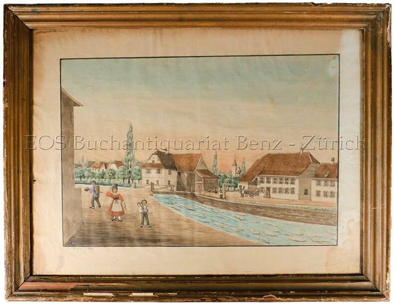
(Dorf im Schweizer Mittelland).
1868. Aqarell. Bildgrösse: 37 x 48 cm. Holzrahmen mit Gebrauchsspuren.
书商的参考编号 : 560BG
|
|
|
BERGELIN, L. / e.a.
1) Carte routière ZYMA - Suisse. BERGELIN, L. (carthographe, Paris): La Suisse divisée. en 3 cartes routières dépl. ( GE / ZH / GR. Draeger - Imp. Paris) ens dans l’enveloppe Impr.: „Cartes Zyma, modèles déposées, Nyon“. 2) Strassenkarte der Schweiz = Carte routière s.d. ca. 1930. / ENS. avec: Kinstreisen in der Schweiz. 30 n.n. Bl. + Ausf. Verkehrskarte d. Schweiz. 19393) UBS Werbung Postkarte. Otto M. Müller Touristenkarte d. Schweiz.4) T.C.S. Schweizer-Reise mit Verkehrs-Signalen. Sign. E. Tschudi. Ill. 2 S. Lepéorello mit farb. Zeichnungen u. Strassensignale5) Reisekarte der Schweiz. (Schweiz. Bundesbahnen). 1929. 6 S. Text mit 6 fotogr. Abb. - Zh, Orell Füssli, Orig.-Umschlasg mit Abb.
1930 - 1940 in-8vo, Konvolut Tourisme - Schweizerkarten zus., ill. OU.
书商的参考编号 : 135841aaf
|
|
|
BERLOQUIN, Pierre
100 GRANDES RÉUSSITES
Paris Flammarion 1969 in 4 (28x20) 1 volume reliure toilée ornée de l'éditeur sous rhodoïd, plat supérieur illustré, 204 pages, avec de nombreuses illustrations en noir et blanc et en couleurs. Eliminations; constructions diverses; constructions de séries simples; constructions de séries avec séries provisoires Bel exemplaire ( Photographies sur demande / We can send pictures of this book on simple request )
书商的参考编号 : 20760
|
|
|
BERTIUS (Petrus).
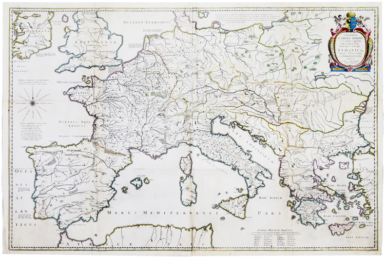
[EMPIRE de CHARLEMAGNE] Imperii Caroli Magni et vicinarum regionum descriptio.
Paris, [1620]. En quatre feuilles jointes formant une carte de 640 x 975 mm.
书商的参考编号 : LBW-5945
|
|
|
BERTHAULT (Pierre-Gabriel) & MANDAR (Charles-François).
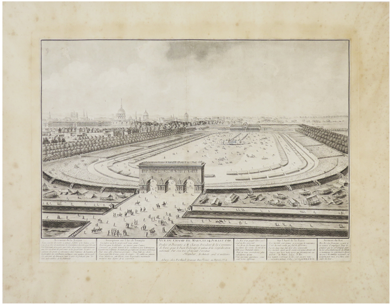
[FÊTE de la FÉDÉRATION] Vue du Champ de Mars, le 14 juillet 1790.
Paris, Berthault, [1790]. 310 x 432 mm, coupé au trait d'encadrement et remonté sur papier ancien.
书商的参考编号 : LBW-6422
|
|
|
BERGHAUS (Heinrich Karl Wilhelm).
[SUMATRA & SINGAPOUR] Karte von der Insel Sumatra. Sr. hochwohlgeboren dem königl. Preüss. General Consul für die Vereignigten Königreiche Grossbritannien und Ireland Herrn B. Hebeler in London widmet dieses Atlass-Blatt als zeichen der Hochachtung und Dankbarkeit.
Gotha, J. Perthes, 1835? 642 x 957 mm ; montée sur toile de l'époque.
书商的参考编号 : LBW-8424

|
|
|
BERTRAND Alfred
Au Pays de Ba-ROTSI
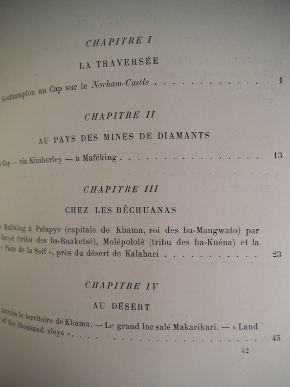
Haut-Zambèze,voyage d’exploration en Afrique et retour par les chutes Victoria,le Matébeleland,Le Transvaal,Natal,Le Cap. In 4 demi-chagrin rouge époquetitre,roulette,filets dorés,filets à froid,faux-titre,portait de l’auteur sur papier de chine contrecollé sur vélin fort,sous serpente,titre avec vignette,331 pages,sur papier couché,nombreuses illustrations photos dans le texte et hors-texte,carte dépliante deux Royaumes de Marutse,(Ba-Rotsi)deux cartes dépliantes Paris Hachette & Cie 1898, très bon état
书商的参考编号 : 5663
|
|
|
BERTRAND Alfred:
Au pays des Ba-Rotsi. Haut Zambèze. Voyage d'exploration en Afrique et retour par les chutes Victoria, le Matébéléland, le Transvaal, Natal, Le Cap.
Paris, Hachette & Cie, 1898. Petit in-4 de [10]-331-[5] pages, pleine percaline verte, titre doré au dos et au premier plat orné d'une tête de buffle, tête dorés, plats biseautés.
书商的参考编号 : 20348
|
|
|
BERARD (Lt. de V. M. A.)
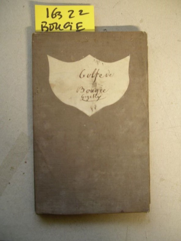
Carte particulière du Golfe de Bougie, levée en 1832 par M. A. Bérard,…, commandant le Brick Le Loiret…
1833 21 sections montées sur toile et pliées formant une carte de 620 x 905 mm. P. Dépôt général de la Marine 1833
书商的参考编号 : 16322
|
|
|
BERLEPSCH , H. A.
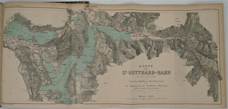
Die Gotthard-Bahn. Beschreibendes und Geschichtliches.
Gotha, Julius Perthes, 1881 , in-4 , 2-77pp (1) , illustré de 3 cartes dépliantes et en couleurs, relié demi veau époque ,dos lisse avec pièce d’auteur et titre, cachet ,charnières fendues .
书商的参考编号 : PHO-794
|
|
|
BERLIN -
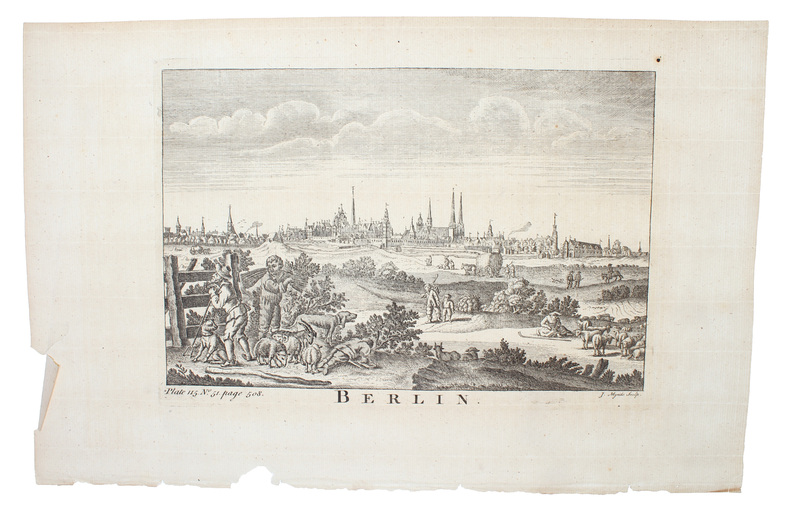
Gesamtansicht von Berlin.
Um 1750. (18 x 26 cm.). Engraved view of Berlin. Kupferstich von Berlin. J. Mynde Sculp.
书商的参考编号 : 53180
|
|
|
BERTIUS (Petrus).
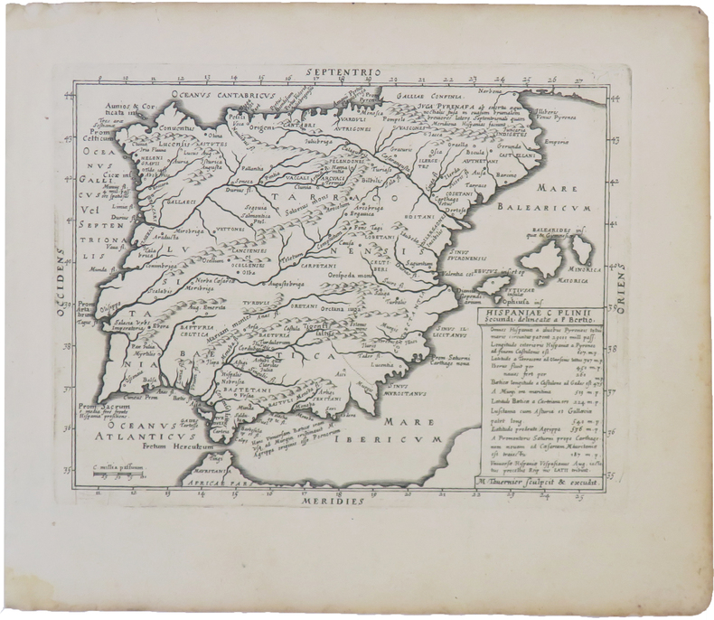
Hispaniæ C Plinii secundi delineata.
Paris, Melchior Tavernier, 1628. 143 x 186 mm.
书商的参考编号 : LBW-3966
|
|
|
Bern Stadt u. Landkarten:
Konvolut von 12 Karten.1) In die Umgebung von Bern. Vorschläge Ausflüge 3. Auflage. 145 S. mit ill. und 4 gef. Karten.2) Führer durch die Berner Unterstadt v. Paul Hofer. 30 S. OU Paul Boesch.3) Off. Stadtplan Bern mit Strassenverz. 1:12500. Kol. Karte gef. Verkehrsplan.4) Topogr. Karte Bern 1934 gef. / 5) Stadtplan, Touristenbrochure.6) Stadtplan Bern mit Strassenverz. 1:13000 Hallwag / 7) Schülerkarte des Kantons Bern 12 Elemente auf Lwd. aufgezogen 1:300000. o.J. um 1930.8) Kanton Bern Schülerkarte 1:250000. 19499 Vogelschaukarte SO -Zollikofen - BERN Wandervoschläge10) Plan der Stadt Bern mit Strassenverz. 5. Aufl. Orell-Füssli+ 2 andere,
divers illustrierte Original-Broschüren.
书商的参考编号 : 135557aaf
|
|
|
BERTRAND (Aloysius).
La Tour de Nesle. Poème affiche.
La Chaux (Suisse) Parisod 1976 1 vol. Broché un feuillet in-folio (50 x 35 cm) sous chemise imprimée. Poème affiche imprimé en rouge et vert sur papier turquoise, conservé sous chemise de papier brun imprimée en noir et rouge. Belle impression du poète et typographe suisse Fernand-André Parisod. En bonne condition.
书商的参考编号 : 24923
|
|
|
BERTRAND (Aloysius).
La Tour de Nesle. Poème affiche.
La Chaux (Suisse) Parisod 1976 1 vol. Broché un feuillet in-folio (50 x 35 cm) sous chemise imprimée. Poème affiche imprimé en rouge et vert sur papier turquoise, conservé sous chemise de papier brun imprimée en noir et rouge. Belle impression du poète et typographe suisse Fernand-André Parisod. En bonne condition.
书商的参考编号 : 24923
|
|
|
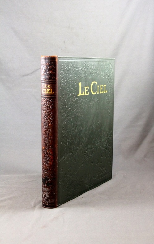
BERGET Alphonse:
Le ciel. Nouvelle astronomie pittoresque.
Paris, Lib. Larousse, s. d.. 1 vol. in-4 de [2]-310-[2] pages. Demi-chagrin marron, dos lisse orné à froid, plats de percaline verte ornés à froid.
书商的参考编号 : 2815
|
|
|
BERRANGER Paul de, SANTERRE André
NANTES LA BELLE images d'hier et d'avant-hier de Doulon à Chantenay
1982 broché (paperback) in-quarto, dos gris (grey spine), première de couverture ornée d'une reproduction photographique en noir dune carte postale du Port de Nantes de la série Nantes la belle (front cover illustrated), tirage limité (limited edition), illustrations : 500 reproductions de cartes postales anciennes (old post card), 305 pages, 1982 à Nantes Imprimerie L.N.G. pour Les Cartophiles du Pays Nantais,
书商的参考编号 : 5631
|
|
|
BERTHE
Nouvelle carte de France par départements. Indiquant les Chemins de Fer, les routes des Postes avec les distances... les nouvelles divisions militaires, les Archevêchés...
Paris, Garnier, (c.1875). 79 x 56 cm au filet d'encadrement + marges. Repliée sous une couverture in-12, vignette sur le plat.
书商的参考编号 : 18882
|
|
|
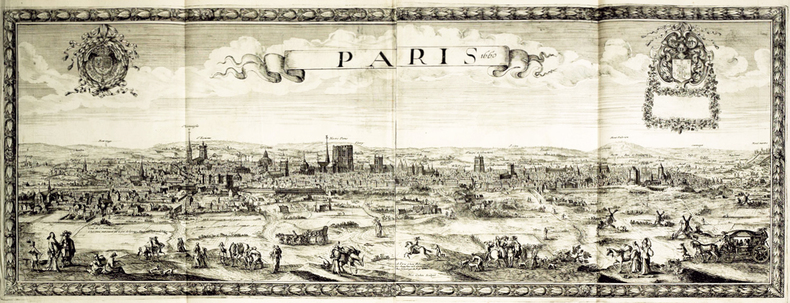
BEREY (Nicolas).
Paris 1660.
Paris, N. Berey, 1660. En deux feuilles jointes de 0,39 x 1,05 m.
书商的参考编号 : LBW-499
|
|
|
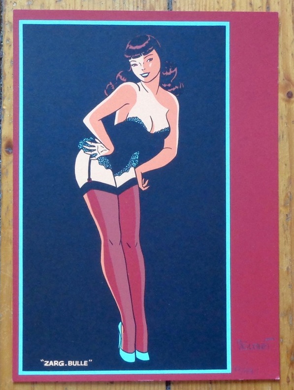
Berthet Philippe:
Pin-up.
Zarg-bulle. Ex-libris au format 15,5 x 22 cm.
书商的参考编号 : 8460
|
|
|
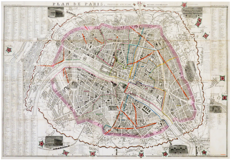
BERNARD (A.).
Plan de Paris, nouveau système. Méthode Zugenbuhler. 1859.
Paris, A. Bernard, 1859. En 40 sections jointes formant un plan de 580 x 855 mm.
书商的参考编号 : LBW-6180
|
|
|
BERRUYER Isaac-Joseph
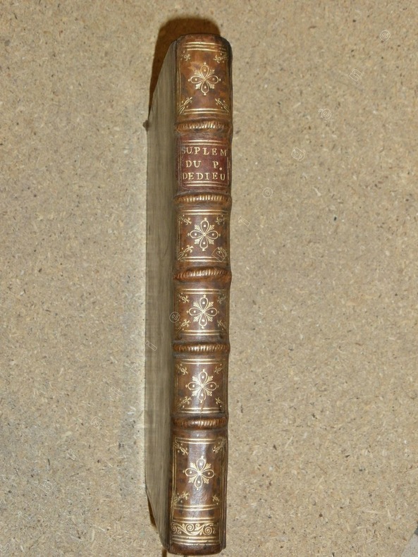
Supplément à la première édition de l'Histoire du peuple de Dieu, tiré de la nouvelle édition de M.DCC.XXXIV. Contenant la suite des prophéties de l'Ancien Testament, l'histoire de Jacob, les cartes nécessaires pour l'intelligence de l'histoire sainte, des sommaires chronologiques fort exacts, & une table générale des matières qui sont renfermées dans tout l'ouvrage. (Supplément seul.)
Prault A Paris, Prault, 1734, 1 volume in-4 de 190x255 mm environ, 1 frontispice gravé par Lépicié d'après F. Boucher, X (Titre, Avertissement, Prophéties), 56, XIV, XI, X, XII, 14, XV, VII, VIII, VI, VIII, XX, CLII. Contient 1 frontispice, 2 cartes dépliantes et deux tableaux dépliants. Pleine reliure d'époque tachetée, dos à cinq nerfs portant titres dorés et ornés, triple encadrement à froid sur les plats, roulette dorée sur les coupes, tranches rouges, gardes de papier marbré à la coquille. Légers fendillements sur les mors, coins frottés et enfoncés, quelques traces sur le cuir, sinon bon exemplaire, intérieur frais.
书商的参考编号 : 81583
|
|
|
Bertola Pierre-Alain:
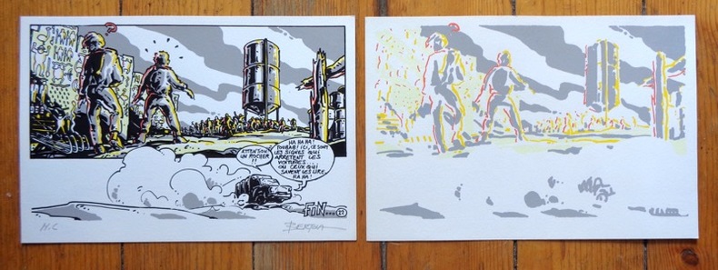
Sérigraphie originale en 2 états.
Lausanne, La Marge. Sérigraphie au format 25,5 x 17 cm. En deux états, soit un essai des passages couleurs et la version définitive, au tirage limité à 200 exemplaires numérotés, la nôtre marquée HC.
书商的参考编号 : 6312
|
|
|
BERGERON PIERRE
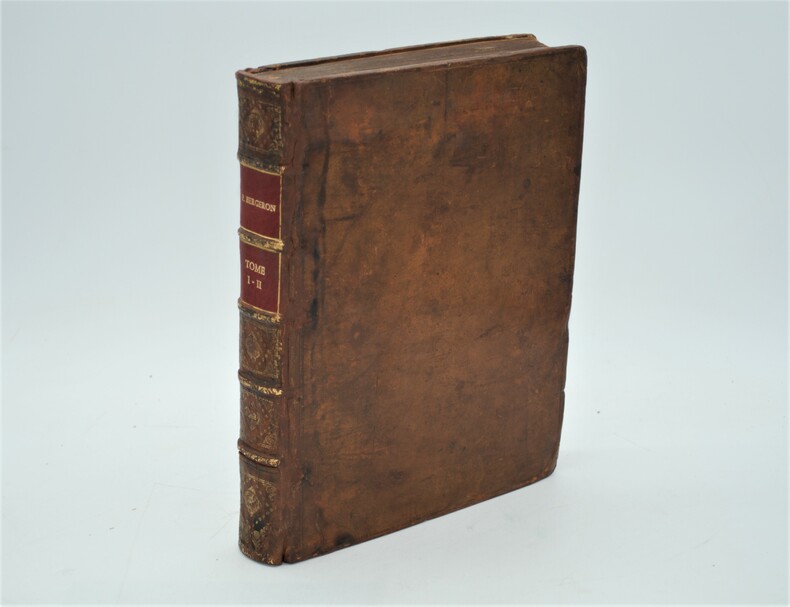
VOYAGES FAITS PRINCIPLEMENT EN ASIE DAN LES XII,XIII,XIV ET XV e SIECLES, ACCOMPAGNES DE L'HISTOIRE DES SARRASINS ET DES TARTARES, ET PRECEDES D'UN INTRODUCTION CONCERNANT LES VOYAGES ET LES NOUVELLES DECOUVERTES DES PRINCIPAUX VOYAGEURS.
2 Volumes en 1, grand in 4° (285 x 215 mm) relié plein veau époque, dos à nerfs , titre imprimé en rouge et noir. PREMIERE EDITION SOUS CE TITRE. L'ouvrage, illustré de 8 gravures à mi-page est divisé en 11 parties, toutes relatant des voyages faits en Tartarie et en Chine du XII au XV siècles (voyage de Tudele, de G. de Rubruquis, de Marco Polo,....) Quelques mouillures et feuillets roussis, habiles restaurations (chardenat,1548) (cordier,1941)
书商的参考编号 : PHO-254
|
|
|
BERGELIN (Lucien).
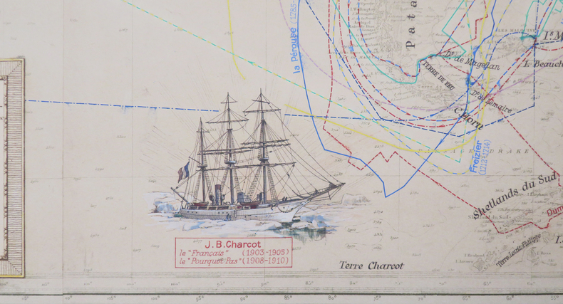
Voyages de découvertes et d'explorations des marins français depuis le XVe siècle.
1939. 1,11 x 2,14m ; montée sur toile.
书商的参考编号 : LBW-8078
|
|
|
BERGERON (Pierre).
Voyages faits principalement en Asie dans les XIIe, XIIIe, XIVe et XVe siècles par Benjamin de Tudele, Jean Du Plan-Carpin, N. Ascelin, Guillaume de Rubruquis, Marc Paul vénitien, Haiton, Jean Mandeville, et Ambroise Contarini ; accompagnés de l'Histoire des Sarasins et des Tartares et précédés d'une introduction.
La Haye, Jean Neaulme, 1735. 2 Volumes en 1, grand in-4° (29x23 cm) relié plein veau époque, dos à nerfs avec pièce de titre, filets aux plats, tranches rouges, dos et coins restaurés, titre imprimé en rouge et noir. Imprimé et paginé sur 2 colonnes.
书商的参考编号 : PHO-1902

|
|
|
Berger, Jos
(Dorf im Schweizer Mittelland).
1868. Aqarell. Bildgrösse: 37 x 48 cm. + Wichtig: Für unsere Kunden in der EU erfolgt der Versand alle 14 Tage verzollt ab Deutschland / Postbank-Konto in Deutschland vorhanden +, bild Holzrahmen mit Gebrauchsspuren.
书商的参考编号 : 560BG

|
|
|
Berlin Department for War Maps and Surveying
WWII German map of Britain's canal and waterways network
Germany: Department for War Maps and Surveying 1940. Map. Very good. Coloured map of Britain. 37' x 25 '. 97 cm x 64 cm. Produced at the height of the Second World War. Confidential document. <br/><br/>Dienstgebraugh For official use only. Department for War Maps and Surveying unknown
书商的参考编号 : 105321

|
|
|
BERLIN -
Gesamtansicht von Berlin.
Um 1750. (18 x 26 cm.). Engraved view of Berlin. Kupferstich von Berlin. J. Mynde Sculp.
|
|
|
BERLOQUIN, Pierre.
Le Guide Marabout des Réussites et Patiences.
in-16, 192 pages, broche, couverture illustree. Tres bel exemplaire. [MB]
|
|
|
BERNAY
Carte couleurs au 1/100 000?me. Feuille XIII-12.
Une feuille 57x45 cm.
|
|
|
Berndtson Maps
Country Map of Curacao
2007-01-01. Good. Ships with Tracking Number! INTERNATIONAL WORLDWIDE Shipping available. May not contain Access Codes or Supplements. May be re-issue. May be ex-library. Shipping & Handling by region. Buy with confidence excellent customer service! unknown
书商的参考编号 : 3865925030 ???????? : 3865925030 9783865925039

|
|
|
Berndtson Maps
Thailand
Berndtson Maps 2009. Map. New. 2 pages. 9.25x3.78x0.55 inches. Berndtson Maps unknown
书商的参考编号 : __386592171X ???????? : 386592171X 9783865921710
|
|
|
BERTELLI Ferrando (attivo a Venezia seconda metà del XVI secolo)
Roma Antiqua
Rara pianta archeologica della città, basata sul modello della cosiddetta pianta della guerra di Napoli del 1557 - incisa da Nicolas Beatrizet per l'editore Antonio Lafrery - orientata con il nord a destra. Sono riportate le nuove fortificazioni volute da papa Paolo IV. Dal punto di vista archeologico, date anche le dimensioni ridotte dell’opera, risulta assai sintetica."Si tratta di una frettolosa copia della precedente pianta di Paolo Forlani ed è riconducibile alla tipografia di Ferrando Bertelli. Oltre a comparire in alcune raccolte cinquecentesche di grande formato (Biblioteca Estense e Monaco di Baviera) la pianta si trova infatti inclusa nella raccolta Civitatum aliquot insigniorum et locorum, magis munitorum exacta delineatio: cum additione aliquot insularum principalium, edita da Ferrando Bertelli a Venezia nel 1568" (cfr. B/R p. 2353).Aquaforte e bulino, impressa su carta vergata coeva, con ampi margini, in perfetto stato di conservazione.BibliografiaBifolco - Ronca, Cartografia e Topografia italiana del XVI secolo (2018), p. 2353, tav. 1211; Destombes (1970): n. 201; Meurer (2002): n. 146; Tavernari (2014): n. 141; cfr. Caldana (2013): p. 79; Marigliani (2007): n. 48; Nordenskiöld (1981): n. 12(2); cfr. Valerio (1998): p. 42, n. 2. Rare archaeological map of the city, based on the model of the so-called map of the war of Naples of 1557 - engraved by Nicolas Beatrizet for the publisher Antonio Lafrery - oriented with the north to the right. The new fortifications commissioned by Pope Paul IV are reported. From the archaeological point of view, given the small size of the work, it is very synthetic."It is a copy of the previous map by Paolo Forlani and is referable to the printing house of Ferrando Bertelli. In addition to appearing in some large sixteenth-century collections (Biblioteca Estense and Strabo Atlas of Munich) the map is also included in the collection "Civitatum aliquot insigniorum et locorum, magis munitorum exacta delineatio: cum additione aliquot insularum principalium", published by Ferrando Bertelli in Venice in 1568". (see B/R p. 2353).Etching with engraving, printed on contemporary laid paper, with wide margins, in perfect condition.LiteratureBifolco - Ronca, Cartografia e Topografia italiana del XVI secolo (2018), p. 2353, tav. 1211; Destombes (1970): n. 201; Meurer (2002): n. 146; Tavernari (2014): n. 141; cfr. Caldana (2013): p. 79; Marigliani (2007): n. 48; Nordenskiöld (1981): n. 12(2); cfr. Valerio (1998): p. 42, n. 2. Bifolco - Ronca, Cartografia e Topografia italiana del XVI secolo (2018), p. 2353, tav. 1211.

|
|
|
BERTELLI Pietro (Padova 1571 - 1621)
Roma Antiqua
Pubblicata per la prima volta nel "Teatro d'Italia" di Pietro Bertelli nel 1599. Questo esemplare è tratto dall'opera Universus terrarum orbis scriptorum calamo delineatus ... qui de Europae, Asiae, Africae, & Americae regnis, provinciis, populis, civitatibus.... pubblicata a Padova nel 1713, presso Matteo Cadorin, da Raffaello Savonarola, sotto lo pseudonimo di Lasor a Varea (o Varela). L'opera era una sorta di enciclopedia che conteneva notizie sulle varie località del mondo disposte in ordine alfabetico, arricchita da mappe e vedute di tutto il mondo che appartengono a celebri raccolte cartografiche del passato – Bertelli, Valegio, Camocio, Bonifacio, Nelli, Magini e altri – del quale probabilmente l’editore Cadorin era in possesso delle matrici originali. Acquaforte, testo latino nella parte superiore, inferiore e sul verso del foglio, dove sono presenti anche tre figure con abiti dell'epoca, in ottimo stato di conservazione. This example is taken from the work Universus terrarum orbis scriptorum calamo delineatus ... qui de Europae, Asiae, Africae, & Americae regnis, provinciis, populis, civitatibus.... published in Padua in 1713, at Matteo Cadorin, by Raffaello Savonarola, under the pseudonym of Lasor a Varea (or Varela). The work was a kind of encyclopedia containing news about the various localities of the world arranged in alphabetical order, enriched with maps and views of the whole world belonging to famous cartographic collections of the past-Bertelli, Valegio, Camocio, Bonifacio, Nelli, Magini, and others-of which the publisher Cadorin probably possessed the original plates. Copper engraving, in excellent condition.

|
|
|
Berton Pierre/Matthews Geoffrey maps
The Promised Land: Settling the West 1896-1914
Toronto: McClelland & Stewart 1984. 1st Canadian printing. VG/VG dust jacket price clipped dust jacket gift inscription on front endpaper blacked out. x 388 p. illus maps biblio notes index illus endpapers 8vo; McClelland & Stewart hardcover
书商的参考编号 : 30745 ???????? : 0771012438 9780771012433
|
|
|
Berton Pierre/Matthews Geoffrey maps
The Promised Land: Settling the West 1896-1914
Toronto: McClelland & Stewart 1984. 1st Canadian printing. VG/Good dust jacket gift inscription on front endpaper. x 388 p. illus maps biblio notes index illus endpapers 8vo; McClelland & Stewart hardcover
书商的参考编号 : 10183 ???????? : 0771012438 9780771012433
|
|
|
BESANCON
Carte allemande au 1/200 000e.
Une feuille 55x77 cm.
|
|
|
Best Western Hotels & Europcar Rent-a-car
A Motorist's Map of Great Britain
Colour map. eng
|
|
|
Best, Gerald M.
Nevada County Narrow Gauge
A clean, unmarked book with a tight binding. 8 3/4"w x 11 1/4"h. 216 pages. Many b&w photos.

|
|
|
Bethel Historical Society, Young , Saskatchewan
A Vision Unfolding - A History of Bethel and District 1904-1981
182 pages. Includes the histories of those people who homesteaded or resided within the Favorite and Lyndhurst areas of Morris Municipality No. 312, those within or outside the municipality who had children attending these schools, and also those who were members of Bethel Church and did not reside within the municipality. Clean, bright and unmarked with negligible wear. Chapters include: A History of Bethel Scandinavian Lutheran Church/List of those buried in the Cemetery/Bethel Sunday School/Bethel Ladies Aid; History of Bethel Historical Society; Fifty Years of Favorite History 1913-1963; Lyndhurst S.D. #2583; Social Events of S.W. Curling Club; General Interest Stories; Homestead Information and Maps; Family Histories. Many black and white photographs. Bright gilt lettering and illustration upon maroon front board. Excellent copy. Book

|
|
|
BETHELL David with maps by Irene Margaret Barron
English Ancestry 1
Staffordshire England Melanora 198. Hbk 4to white buckram boards with gilt titles uncirculated ex public reference library some library markings none affecting text this remains a little-used clean and tight working copy Staffordshire, England Melanora 198 hardcover
书商的参考编号 : XL872
|
|
|
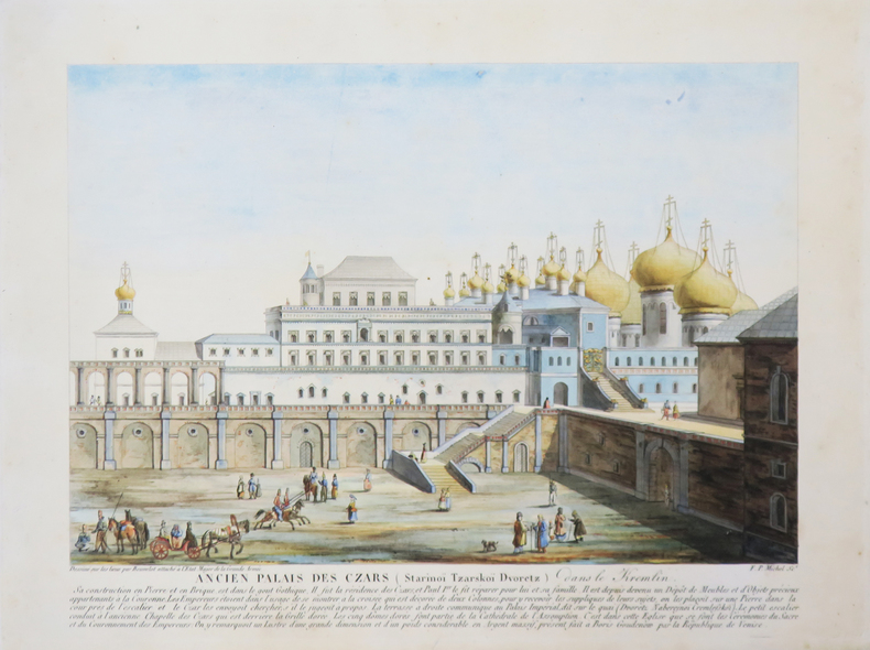
BEUVELOT.
[MOSCOU] Ancien Palais des Czars (Starinoï Tzarskoï Dvoretz) dans le Kremlin.
[circa 1815]. 192 x 245 mm.
书商的参考编号 : LBW-4022
|
|
|
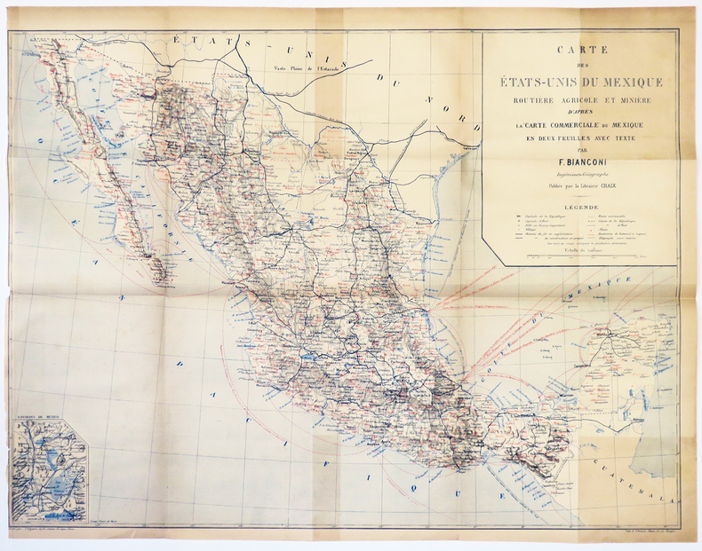
BIANCONI (F.).
[MEXIQUE] Carte des États-Unis du Mexique routière agricole et minière d'après la carte commerciale du Mexique en deux feuilles avec texte.
[1889]. 460 x 620 mm.
书商的参考编号 : LBW-5035
|
|
|
BIANCONI (François Xavier).
[TRANSVAAL] Nouvelle carte physique & minière du Transvaal, de l'état libre d'Orange, des colonies anglaises, colonie portugaise de Mozambique, Rhodesia, Nyassaland, etc.
Paris, Taride, 1900. 745 x 671 mm, repliée et montée dans une couverture de papier rouge.
书商的参考编号 : LBW-5347

|
|
|

 ?????????
 ?????PDF???
 RSS feed
 ??
??


