|
Cunard Steamship Company ltd Atlas Advertising Agency inc. New York
Springs of health in Great Britain and France 1917 Hardcover
2020. Hardcover. New. Lang: - eng Pages 116. Reprinted in 2020 with the help of original edition published long back 1917. This book is Printed in black & white Hardcover sewing binding for longer life with Matt laminated multi-Colour Dust Cover Printed on high quality Paper re-sized as per Current standards professionally processed without changing its contents. As these are old books we processed each page manually and make them readable but in some cases some pages which are blur or missing or black spots. If it is multi volume set then it is only single volume if you wish to order a specific or all the volumes you may contact us. We expect that you will understand our compulsion in these books. We found this book important for the readers who want to know more about our old treasure so we brought it back to the shelves. Any type of Customisation is possible with extra charges. Hope you will like it and give your comments and suggestions. hardcover
Referentie van de boekhandelaar : 1111000553291
|
|
|
CURRAN Donald et CLOZIER René
Atlas Larousse Classique.
LAROUSSE. Août 1964. In-4. Cartonnage d'éditeurs. Etat d'usage, Couv. défraîchie, Mors fendus, Intérieur acceptable. 128 + 30 pages. Nombreuses planches de cartes en couleurs. Mors fendu sur la coiffe en pied.. . . . Classification Dewey : 912-Atlas, cartes et plans
Referentie van de boekhandelaar : RO80094801
|
|
|
Curran Donald, Coquery Michel
Atlas Larousse classique
Librairie Larousse. 1964. In-4. Relié toilé. Bon état, Couv. convenable, Dos satisfaisant, Intérieur frais. 128 planches de cartes en couleurs + 30 pages.. . . . Classification Dewey : 912-Atlas, cartes et plans
Referentie van de boekhandelaar : RO80241170

|
|
|
CUREL Roger
MADRID.
reliure éditeur - 17,5x27 - 214pp - 1964- éditions RENCONTRE, Lausanne.Collection " ATLAS DES VOYAGES, RENCONTRE" dirigée par Charles-Henri FAVROD.Nombreuses illustrations dans et hors texte.
Referentie van de boekhandelaar : 4963
|
|
|
CURASSON M.
TRAITE DE LA COMPETENCE DES JUGES DE PAIX.
Paris, A. Marescq libraire, 1848. Deuxième édition. 2 volumes in-8, reliés demie-basane bleu marine, dos lisses à filets dorés, 644-768 pages + 40 pages de commentaires. Table analytique. Rousseurs, modérément, reliures agréables et bien solides. Bons exemplaires.
Referentie van de boekhandelaar : 3178
|
|
|
Curated by GÖKÇE GÜNEL.
Ankara on the maps: Ankara maps and plans. A selection from Collections.= Haritalarda Ankara: Ankara haritalari ve planlari. Koleksiyonlardan bir seçki. [Exhibition catalogue]. Texts by Filiz Yenisehirlioglu, Gökçe Günel, Osman Alp.
New English Paperback. Oblong 4to. (26 x 26,5 cm). Parallel text in English and Turkish. 79 p., fully color ills. Ankara on the maps: Ankara maps and plans. A selection from Collections.= Haritalarda Ankara: Ankara haritalari ve planlari. Koleksiyonlardan bir seçki. [Exhibition catalogue]. Texts by Filiz Yenisehirlioglu, Gökçe Günel, Osman Alp. Includes 65 maps and plans of Ankara city from 17th century to the present day by various Europe and Ottoman / Turkish cartographers and map-makers. The exhibition intends to present some of the various forgotten maps and plans of Ankara, originally produced in the books of local and foreign travelers and in encyclopedias; large-scale maps of various districts and villages of Ankara; maps of various scales produced by the General Command of Mapping till early 2000s in addition to the selection of works from primarily VEKAM collection and some other private collections Presenting the urban transformation of Ankara from the Ottoman Era to the Republic of Turkey in a chronological order, this exhibition, envisaged and designed to serve as a documentary and inventory of our capital city of Ankara to appeal researchers and facilitate further research. However, there are still, other maps of Ankara, which are not included in the exhibition, or remained beyond our reach.
|
|
|
Czarnetzki, Alfred (Herausgeber)
Stumme Zeugen ihrer Leiden : Krankheiten und Behandlung vor der medizinischen Revolution. von Alfred Czarnetzki und Mitarb.
Tübingen : Attempto-Verl. 1996. 208 S. : zahlr. Ill. 30*21 cm. OBroschur.
Referentie van de boekhandelaar : 145806

|
|
|
D'AVITY, Pierre
Description générale de l'Afrique, seconde partie du monde. Avec tous ses empires, royaumes, estats et republiques, Description générale de l’Amérique, troisième partie du monde…. & Description generale de l’Europe, quatriesme partie du monde, avec tous ses empires, royaumes estats, et republiques (…), 1ère, 2ème et 3ème partie
Paris, Laurent Cottereau, 1643, 5 tomes en 3 volumes in-folio, relié basane moucheté époque, dos à nerfs avec pièce de titre, titre en rouge et noir, vignette par Picard, 8ff.-895pp.-11ff. et 2ff.-460pp.-20ff, 4ff.-620pp.-7ff. et 2ff.-189pp.-3ff., illustré de 2 cartes, Afrique (manque le bas) et Italie, frottements, coiffes et coupes usés, débuts de fentes, épidermures , page de titre de l’Afrique presque détaché, traces de réparation, rousseurs et quelques feuillets brunis.
Referentie van de boekhandelaar : PHO-1707

|
|
|
D'AVITY, Pierre
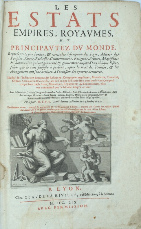
Les Estats, Empires, Royaumes, et principautez du monde, representez par l'ordre, & veritable description des Pays, Moeurs des Peuples, Forces, Richesses, Gouvernemens, Religions, Princes, Magistrats & Souverains qui ont gouvernés...
Lyon, Claude La Rivière, 1659. 1 vol. in-folio ,4ff.-930pp.-13ff , reliure amateur (très amateur) ,titre en noir et rouge , mouillure en fin d’ouvrage , réparation à quelques feuillets en marge , manque la dernière page de la table ,sans les cartes , intérieur propre.
Referentie van de boekhandelaar : PHO-1337
|
|
|
D'AVITY, Pierre
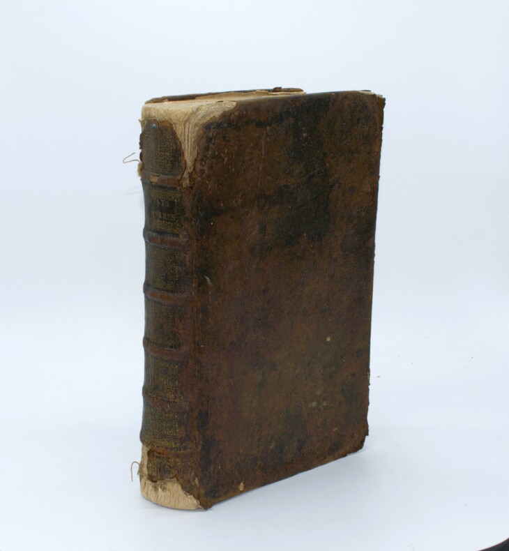
Les Estats, Empires, Royaumes, et principautez du monde, representez par l'ordre, & veritable description des Pays, Moeurs des Peuples, Forces, Richesses, Gouvernemens, Religions, Princes, Magistrats & Souverains qui ont gouvernés...
Lyon, Claude La Rivière, 1659. 1 vol. in-folio ,4ff.-930pp.-13ff .,titre en noir et rouge, relié plein cuir époque , dos à nerfs orné à la grotesque avec titre,manque au dos , coins usés , etc, réparation à quelques feuillets en marge , quelques feuillets avec manque , 2 feuillets détachés , papier bruni, sans les cartes .
Referentie van de boekhandelaar : PHO-1338
|
|
|
D'Anville
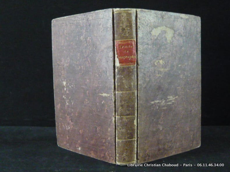
Traité de géographie ancienne et moderne, comparée d'après d'Anville. Avec 5 grandes cartes.
Paris, Chez Hyacinthe Langlois, 1802, in-8°., Plein bradel marbré, pièce de titre , frottements à la reliure, 151 pages. Complet des ses 5 grandes cartes dépliantes et colorisées pour les frontières. Cartes fraîches.
Referentie van de boekhandelaar : 7971
|
|
|
D'four Atlas
Ower Darkling.: Ower Kid series Volume 1
CreateSpace Independent Publishing Platform. Used - Good. Former Library book. Shows some signs of wear and may have some markings on the inside. CreateSpace Independent Publishing Platform unknown
Referentie van de boekhandelaar : GRP116330208 ISBN : 1517141508 9781517141509
|
|
|
D'four Atlas
Ower Dawning. Ower Kid.
CreateSpace Independent Publishing Platform. Used - Very Good. Former Library book. Great condition for a used book! Minimal wear. CreateSpace Independent Publishing Platform unknown
Referentie van de boekhandelaar : GRP116330269 ISBN : 1517477298 9781517477295
|
|
|
D'four Atlas
Ower Detinue.: Mouth of the Dragon. Ower Kid Volume 3
CreateSpace Independent Publishing Platform. Used - Good. Former Library book. Shows some signs of wear and may have some markings on the inside. CreateSpace Independent Publishing Platform unknown
Referentie van de boekhandelaar : GRP116330209 ISBN : 1517540275 9781517540272
|
|
|
D'four. Atlas
Ower Dabbling. Ower Kid Volume 4
CreateSpace Independent Publishing Platform. Used - Very Good. Former Library book. Great condition for a used book! Minimal wear. CreateSpace Independent Publishing Platform unknown
Referentie van de boekhandelaar : GRP116330270 ISBN : 1517540305 9781517540302
|
|
|
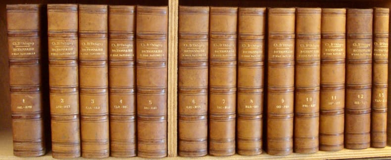
D'ORBIGNY (Charles Henry Dessalines) - ARAGO (François) - BECQUEREL (Edmond) - BROUSSAIS (François Joseph Victor) - GEOFFROY SAINT-HILAIRE (Etienne) - JUSSIEU (Bernard de) -
Dictionnaire universel d'histoire naturelle résumant et complétant tous les faits présentés par les Encyclopédistes, les anciens dictionnaires scientifiques, les Oeuvres complètes de Buffon, et les meilleurs traités spéciaux sur les diverses branches des sciences naturelles.
Paris: chez les éditeurs, MM. Renard, Martinet et Cie, Langlois et Leclercq, Masson, 1841-1849. 13 volumes de texte, grands in-8, demi-basane havane, dos à nerfs, titre, auteur et tomaisons dorés, reliure de l'époque. Rousseurs éparses. Manque le coin supérieur sur le premier plat du premier volume de texte (5x4 cm). Edition originale sans l'atlas.
Referentie van de boekhandelaar : 40374
|
|
|
D. RAMÉE
Plan de Sévastopol
GARNIER FRERES. 1855. In-Plano. En feuillets. Bon état, Couv. convenable, Dos satisfaisant, Intérieur frais. Plan dépliant en couleur avec une gravure de la rue de Sévastopol 60 x 45 cm.. . . . Classification Dewey : 912-Atlas, cartes et plans
Referentie van de boekhandelaar : ROD0045172
|
|
|
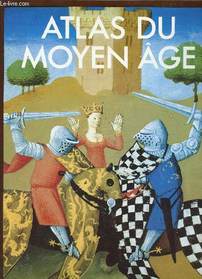
D.Matthew
Atlas du moyen âge.
Editions du Fanal. 1986. In-4. Relié. Bon état, Couv. convenable, Dos satisfaisant, Intérieur frais. 239 pages - jaquette en bon état - nombreuses photos et cartes en couleurs dans et hors texte.. Avec Jaquette. . . Classification Dewey : 912-Atlas, cartes et plans
Referentie van de boekhandelaar : R320144592
|
|
|
Daams, Klaus H
Motorrad-Guide Nordrhein-Westfalen : 20 ausgesuchte Motorradtouren in NRW ; e. Ausw. / von Klaus H. Daams.
Essen : Klartext-Verl., 2000. 131 S. Ill., Kt. 8°. Orig. spiralgeh.
Referentie van de boekhandelaar : 34893
|
|
|
Dacier (Gérard), Allix (Jean-Pierre)
Géographie générale classes de 2e.
français In-8 de 398 pp.; cartonné éditeur. Collection Max Derruau.
|
|
|
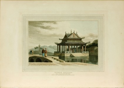
DANIELL, Thomas et William
A picturesque voyage to India "A picturesque voyage to India" de Daniell
La Chine et l’Inde à la fin du XVIIIe siècle en 50 magnifiques aquatintes coloriées à la main à l’époque. London, Thomas Davison, 1810. In-folio oblong de (2) ff., 50 planches hors texte en couleurs sur papier fort montées sur onglets, 50 ff. d’explications des planches (le tout relié horizontalement). Relié en demi-maroquin vert à coins, plats de papier marbré vert, dos lisse orné d’un décor et du titre dorés, tranches dorées. Coins émoussés. Reliure française du XIXe siècle. 343 x 245 mm.
Referentie van de boekhandelaar : LCS-6496
|
|
|
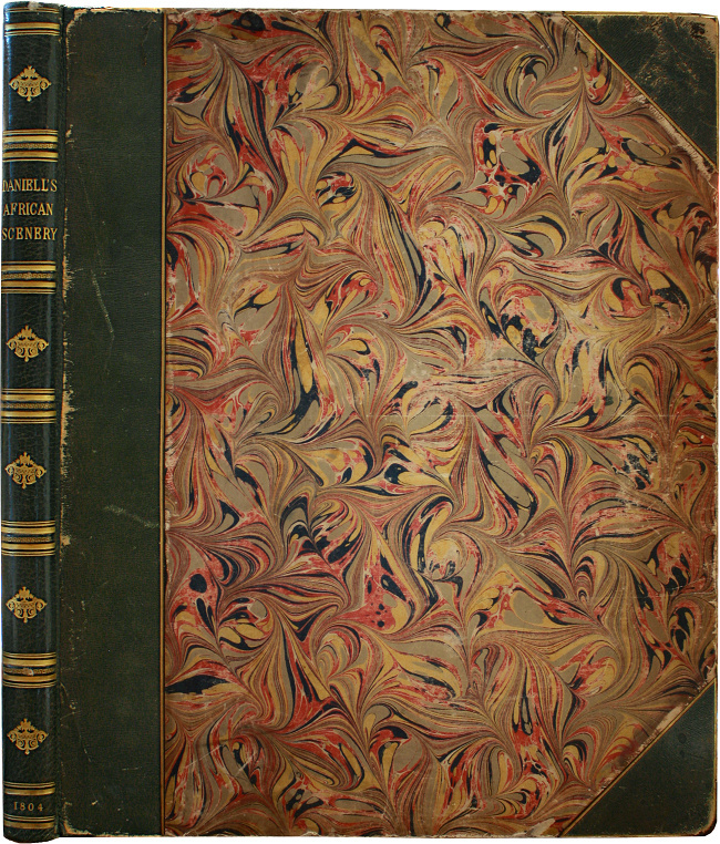
DANIELL, Samuel
African scenery and animals Le plus bel ouvrage jamais publié sur l'Afrique du Sud.
"The scarcest and most valuable of the large atlas folios of South African illustration... a most magnificent work." (Mendelssohn). S.l.n.d. [London, 1804-06]. 2 tomes réunis en 1 volume in-folio de : I/ 1 titre frontispice, (5) ff. de texte et 15 planches en couleurs à pleine page ; II/ 1 frontispice, (5) ff. de texte et 15 planches en couleurs à pleine page. Soit au total, 2 titres à pleine page à l’aquatinte et 30 planches en couleur à pleine page. Planches 1 et 29 légèrement piquées. Demi-maroquin vert à coins, dos à nerfs orné de filets et fleurons dorés, tranches dorées. Qq. frottements, dos refait au XIXe siècle. Reliure de l‘époque.
Referentie van de boekhandelaar : LCS-17282
|
|
|
Daniel A. Atlas
Gardening with SPROUTS: A How-To Guide to Understanding Organic Gardening and Design
AuthorHouse. Paperback. GOOD. Spine creases wear to binding and pages from reading. May contain limited notes underlining or highlighting that does affect the text. Possible ex library copy that’ll have the markings and stickers associated from the library. Accessories such as CD codes toys may not be included. AuthorHouse paperback
Referentie van de boekhandelaar : 3191681383 ISBN : 1438930917 9781438930916
|
|
|
Daniel A. Atlas
Gardening with SPROUTS: A How-To Guide to Understanding Organic Gardening and Design
2009-03-06. Good. Ships with Tracking Number! INTERNATIONAL WORLDWIDE Shipping available. May not contain Access Codes or Supplements. May be re-issue. May be ex-library. Shipping & Handling by region. Buy with confidence excellent customer service! unknown
Referentie van de boekhandelaar : 1438930917 ISBN : 1438930917 9781438930916

|
|
|
Daniel A. Atlas
Gardening with SPROUTS: A How-To Guide to Understanding Organic Gardening and Design
AuthorHouse 2009-03-06. Paperback. Used:Good. AuthorHouse paperback
Referentie van de boekhandelaar : DADAX1438930917 ISBN : 1438930917 9781438930916
|
|
|
Daniel A. Atlas
Gardening with SPROUTS: A How-To Guide to Understanding Organic Gardening and Design
AuthorHouse 2009-03-06. Paperback. Good. AuthorHouse paperback
Referentie van de boekhandelaar : SONG1438930917 ISBN : 1438930917 9781438930916
|
|
|
DARESSY (Georges)
Atlas Archéologique de l'Egypte.
Paris, Garnier, 2002. In-folio oblong, rel. pleine toile marine, titre doré au plat sup., sous jaquette d'édition illustrée en couleurs, 127 pp., 52 pl. en couleurs, index. Un cédérom inclus.
Referentie van de boekhandelaar : 591681
|
|
|
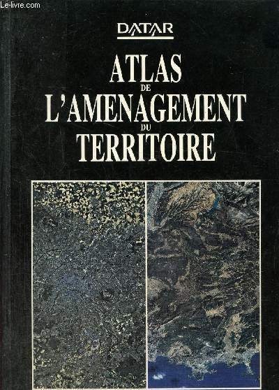
Datar
Atlas de l'amenegement du territoire
La documentation française. 1988. In-8. Relié. Bon état, Couv. convenable, Dos satisfaisant, Intérieur frais. 368 pages augmentées de nombreuses cartes en couleurs dans et hors texte.. . . . Classification Dewey : 912-Atlas, cartes et plans
Referentie van de boekhandelaar : RO80234341 ISBN : 2110020504
|
|
|
DAUPHINE
LES CARTES DU DAUPHINE - MASSIFS DU HAUT DAUPHINE : PELVOUX, ECRINS, OLAN, MIEJE - ECHELLE 1/50000. DIMENSION : 100 x 112 cm environ.
DIDIER ET RICHARD. NON DATE. In-Plano. Broché. Etat d'usage, Coins frottés, Dos satisfaisant, Intérieur acceptable. Carte en couleurs (recto uniquement) dépliante de DIMENSION : 100 x 112 cm environ.. . . . Classification Dewey : 912-Atlas, cartes et plans
Referentie van de boekhandelaar : ROD0108011
|
|
|
DAUDY Philippe
NAPLES.
reliure éditeur - 17,5x27 - 208 pp - 1964 - éditions RENCONTRE, Lausanne.Collection " ATLAS DES VOYAGES, RENCONTRE" dirigée par Charles-Henri FAVROD.Nombreuses illustrations dans et hors texte.
Referentie van de boekhandelaar : 4962
|
|
|
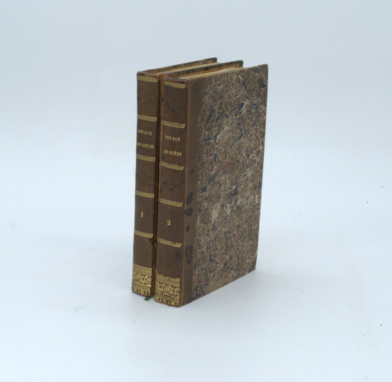
DAUMONT , Alexandre
Voyage en Suède, contenant des notions étendues sur le commerce, l'industrie, l'agriculture, les mines, les sciences, les arts et la littérature de ce royaume
Paris, Arthus Bertrand, 1834. 2 volumes in-8, (4)pp., 399pp.; ( 4), 416pp. , demi-veau havane, dos lisse avec titre, tranches jaunes ,complet des 10 planches qui ont été reliées en fin de tome II, second plat du tome II détachée , sinon bon état.
Referentie van de boekhandelaar : PHO-1353
|
|
|
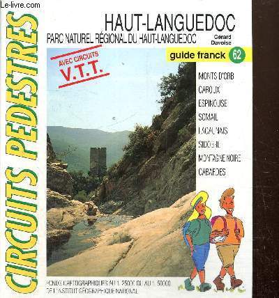
Davoise Gérard
"Haut-Languedoc - Parc naturel régional du Haut-Languedoc - Avec circuits VTT (Collection ""Circuits pédestres, Guides Francks"" n°62)"
Franck Mercier. 19996. In-8. En feuillets. Bon état, Couv. convenable, Dos satisfaisant, Intérieur frais. Environ 50 feuillets réunis dans un classeur. Nombreuses cartes en couleurs hors texte.. . . . Classification Dewey : 912-Atlas, cartes et plans
Referentie van de boekhandelaar : RO80239596
|
|
|
DAVIES & COMPANY
Carte maritime des abords de Marseille. Côte Sud Française.
ADMIRALTY. Oct 1913. In-Plano. En feuillets. Bon état, Couv. convenable, Dos satisfaisant, Intérieur bon état. Carte, noir et blanc, en double-planches de 102 /69 cm. Légendes en anglais.. . . . Classification Dewey : 912-Atlas, cartes et plans
Referentie van de boekhandelaar : RO20039473
|
|
|
DAVIES & COMPANY
Carte maritime de Toulon.
ADMIRALTY. 1916. In-Plano. En feuillets. Bon état, Couv. convenable, Dos satisfaisant, Intérieur frais. Carte, noir et blanc, en double-planches de 102 /69 cm. Légendes en anglais.. . . . Classification Dewey : 912-Atlas, cartes et plans
Referentie van de boekhandelaar : RO20039475
|
|
|
DAVIES & COMPANY
Carte maritime de la Côte Ouest Méditérranéenne.
ADMIRALTY. 1919. In-Plano. En feuillets. Etat d'usage, Couv. convenable, Dos satisfaisant, Intérieur bon état. Carte, noir et blanc, en double-planches de 102 /69 cm. Légendes en anglais.. . . . Classification Dewey : 912-Atlas, cartes et plans
Referentie van de boekhandelaar : RO20039476
|
|
|
DAVIES & COMPANY
Carte Maritime du Port de Malaga
ADMIRALTY. Non daté. In-Plano. En feuillets. Bon état, Couv. convenable, Dos satisfaisant, Intérieur bon état. Carte, noir et blanc, en double-planches de 70/50 cm. Légendes en anglais.. . . A l'italienne. Classification Dewey : 912-Atlas, cartes et plans
Referentie van de boekhandelaar : RO20039484
|
|
|
DAVIES & COMPANY
Carte Maritime de la Mer du Nord.
ADMIRALTY. 1922. In-Plano. En feuillets. Bon état, Couv. convenable, Dos satisfaisant, Quelques rousseurs. Carte, noir et blanc, en double-planches de 102 /69 cm. Légendes en anglais. Quelques marques rouges.. . . . Classification Dewey : 912-Atlas, cartes et plans
Referentie van de boekhandelaar : RO20039488
|
|
|
DAVIES / BRYER & Co
Carte Maritime Méditerranéenne.
ADMIRALTY. 1880. In-Plano. En feuillets. Bon état, Couv. convenable, Dos satisfaisant, Intérieur bon état. Carte, noir et blanc, en double-planches de 102 /69 cm. Légendes en anglais.. . . A l'italienne. Classification Dewey : 912-Atlas, cartes et plans
Referentie van de boekhandelaar : RO20039489
|
|
|
DAVIES & COMPANY
Carte Maritime du Canal de Bristol.
ADMIRALTY. 1920. In-Plano. En feuillets. Bon état, Couv. convenable, Dos satisfaisant, Intérieur bon état. Carte, noir et blanc, en double-planches de 102 /71 cm. Légendes en anglais.. Quelques marques au feutre rouge.. . . . Classification Dewey : 912-Atlas, cartes et plans
Referentie van de boekhandelaar : RO20039491
|
|
|
DAVIES & COMPANY
Carte Maritime de la Sardaigne à Malte, incluant la Sicile.
ADMIRALTY. 1910. In-Plano. En feuillets. Bon état, Couv. convenable, Dos satisfaisant, Intérieur bon état. Carte, noir et blanc, en double-planches de 102 /69 cm. Légendes en anglais. Quelques marques au feutre orange.. . . A l'italienne. Classification Dewey : 912-Atlas, cartes et plans
Referentie van de boekhandelaar : RO20039503
|
|
|
DAVIES & COMPANY
Carte Maritime de la Partie Est de la Mer Meditérranée.
ADMIRALTY. 1917. In-Plano. En feuillets. Bon état, Couv. convenable, Dos satisfaisant, Intérieur bon état. Carte, noir et blanc, en double-planches de 102 /69 cm. Légendes en anglais. Nombreux points au feutre orange.. . . A l'italienne. Classification Dewey : 912-Atlas, cartes et plans
Referentie van de boekhandelaar : RO20039513
|
|
|
David and Ruth Whitehouse
Archaeological atlas of the world. With 103 maps drawn by John Woodcock and Shalom Schotten.
London, Thames and Hudson, 1975. origi.Broschur, kl.4°, 272 Seiten.
Referentie van de boekhandelaar : 42546 ISBN : 500790051
|
|
|
David Atlas
Reflections: A Memoir Historical Monographs
Excellent. No Hassle 30 Day Returns Ships Daily Underlining/Highlighting: NONE Writing: None unknown
Referentie van de boekhandelaar : 5760376 ISBN : 1878220462 9781878220462
|
|
|
David Atlas
Reflections: A Memoir American Meteorological Society - Historical Monographs
American Meteorological Society 2001-01-01. Hardcover. Used:Good. American Meteorological Society hardcover
Referentie van de boekhandelaar : DADAX1878220462 ISBN : 1878220462 9781878220462
|
|
|
David Atlas
Reflections: A Memoir American Meteorological Society - Historical Monographs
American Meteorological Society 2001-01-01. Hardcover. Good. American Meteorological Society hardcover
Referentie van de boekhandelaar : SONG1878220462 ISBN : 1878220462 9781878220462
|
|
|
David Atlas Editor F. C. Bates Contributor
Severe Local Storms: Meteorological Monographs V5 No. 5 September 1963
Literary Licensing LLC 2012-04-28. Paperback. Good. Literary Licensing, LLC paperback
Referentie van de boekhandelaar : SONG1258316722 ISBN : 1258316722 9781258316723
|
|
|
David Atlas
The Wizard's Pocket Guide To Crystal Elixirs
CreateSpace Independent Publishing Platform 2011-08-05. Paperback. Good. CreateSpace Independent Publishing Platform paperback
Referentie van de boekhandelaar : SONG144043090X ISBN : 144043090X 9781440430909
|
|
|
Davies, Gill (Hrsg.)
Zeittafel der Medizingeschichte - [von den Anfängen bis zur Mikrochirurgie], aus dem Englischen von Heinz Freundl,
Köln, Könemann Verlag, 2000. 4°, 72 S. (davon 8 Faltseiten) mit zahlreichen Farbabbildungen, farbig illustr. original Pappband (Hardcover) mit original Schutzumschlag, deutsche Erstausgabe Schutzumschlag am Buchrücken oben mit ca. 0,5cm Anriss, Schutzumschlag mittig an der vorderen Falz leicht bestoßen, sonst sehr schönes, sauberes Exemplar,
Referentie van de boekhandelaar : 7945CB

|
|
|
Davis, Major George B.; Perry, Leslie J.; Kirkley, Jospeh W.
The Official Military Atlas of the Civil War (Original Title: Atlas to Accompany the Official Records of the Union and Confederate Armies
397 pages. "After the Civil War, the U.S. Government and the Army embarked on a landmark endeavor, compiling a military history of all the official military documents from both sides of the war, entitled War of the Rebellion: A Compilation of the Official Records of the Union and Confederate Armies, and referred to as the Official Records, or O.R. The Army then collected the official military maps to supplement the O.R." - from dust jacket. This book is a modern reprint of that original supplement. "The most detailed collection of maps ever published on the subject... contains 821 maps, 106 engravings, and 209 drawings (including detailed uniform and flag illustrations) almost all in full color. Compiled during the post-Civil War years from the best cartographic material created during the epic struggle, this atlas is invaluable for anyone interested in the landscape over which was fought the greatest internal conflict in U.S. history." - from dust jacket. Price-clipped with remainder dot to bottom edge of textblock and small nick to cloth on top of front board, otherwise unread and as new. A beautiful copy of this massive compilation. Book

|
|
|
Dawson R.K.
Northamptonshire- Barnstaple-Sheffield-Rutland-Newport-Monmonth from the ordnance Survey
6 lotto di 6 carte mappe di citt?, di vario formato, 35x30 cm., a colori, in inglese, ben conservate
|
|
 De zoekresultaten per email ontvangen
 Zoekresultaten downloaden als PDF
 RSS feed


