|
RUSCELLI Girolamo (Viterbo 1504 – Venezia 1566)
Orbis Descriptio
Carta tratta dalla "Geographia di Claudio Tolomeo", a cura del Ruscelli, pubblicata in Venezia in pù edizioni tra il 1561 ed il 1598. La carta è basata sulla "Geografia" di Giacomo Gastaldi, che probabilmente disegnò personalmente anche queste mappe, che vennero incise dai fratelli Sanuto. La peculiarità di queste mappe è che sono incise due per lastra e successivamente tagliate; questo il motivo per cui il segno del rame appare solo in tre lati della mappa. Il testo del Ruscelli e le sue carte sono considerate come il miglior atlante moderno fino alla prima versione del Thatrum di Ortelius, 1570. Solo la loro enorme diffusione ne impedisce una valutazione sostenuta nel mercato antiquario. L'opera infatti ebbe una prima stesura nel 1561, stampata da Vincenzo Valgrisi che ne curò anche la ristampa del 1562. Tre sono le edizioni firmate da Giordano Ziletti (due nel 1564 e una del 1574), mentre nel 1597 viene edita dai fratelli Calignani. Tutte queste edizioni contengono 64 tavole. Nel 1598 e 1599 vengono alla luce le due edizioni curate da Giuseppe Rosaccio e stampate dagli Eredi di Melchior Sessa. Queste ultime due edizioni comprendono 69 tavole; sono infatti aggiunte la carta del planisfero e dei continenti del Rosaccio.Buon esemplare. A nice example of Ruscelli's map of the world from his Geografia, the first double hemisphere world map to appear in an Atlas. One of two modern world maps in Ruscelli's Geografia, based upon Gastaldi's world map of 1548. The map is a copper plate engraving by Sanuto. The map is adapted from the oval projection used in Gastaldi's larger world map and is presented on Roger Bacon's circular projection, also used by Tramezzino's large world map of 1554. No southern continent is shown. The map clearly shows the broad mass of land joining Asia and America as Terra Incognita and the coastline as Littus Incongmitum. Map, taken from Ruscelli edition of Ptolemy's "Geographia", printed in Venice from 1561 to 1598. Ruscelli's Atlas is an expanded edition of Gastaldi's "Geografia" of 1548, which has been called the most comprehensive atlas produced between Martin Waldseemüller's Geographiae of 1513, and the Abraham Ortelius Theatrum of 1570. Ruscelli and Gastaldi's maps were beautifully engraved on copper, marking a turning point in the history of cartography. From that point forward, the majority of cartographic works used this medium. As it was a harder material than wood it gave the engraver the ability to render more detail. Gastaldi sought the most up-to-date geographical information available, making the modern maps in Ruscelli's Geographia among the best modern maps of the period. The maps are engraved by the Sanuto borthers.Only their enormous diffusion prevents a sustained evaluation in the antique market. The work in fact had a first issue in 1561, printed by Vincenzo Valgrisi who also edited the reprint of 1562. There are three editions signed by Giordano Ziletti (two in 1564 and one in 1574), while in 1597 it was edited by the Calignani brothers. All these editions contain 64 engraved maps. In 1598 and 1599 the two editions edited by Giuseppe Rosaccio and printed by the heirs of Melchior Sessa come to light. These last two editions include 69 plates; in fact the map of the planisphere and of the continents of Rosaccio are added.Small repairs at the white margins, otherwise very good. R. W. Shirley, "The Mapping of the world", 110

|
|
|
RUSCELLI Girolamo (Viterbo 1504 – Venezia 1566)
Ptolemaei Typus
Carta tratta dalla "Geographia di Claudio Tolomeo", a cura del Ruscelli, pubblicata in Venezia in pù edizioni tra il 1561 ed il 1598. La carta è basata sulla "Geografia" di Giacomo Gastaldi, che probabilmente disegnò personalmente anche queste mappe, che vennero incise dai fratelli Sanuto. La peculiarità di queste mappe è che sono incise due per lastra e successivamente tagliate; questo il motivo per cui il segno del rame appare solo in tre lati della mappa. Il testo del Ruscelli e le sue carte sono considerate come il miglior atlante moderno fino alla prima versione del Thatrum di Ortelius, 1570. Solo la loro enorme diffusione ne impedisce una valutazione sostenuta nel mercato antiquario. L'opera infatti ebbe una prima stesura nel 1561, stampata da Vincenzo Valgrisi che ne curò anche la ristampa del 1562. Tre sono le edizioni firmate da Giordano Ziletti (due nel 1564 e una del 1574), mentre nel 1597 viene edita dai fratelli Calignani. Tutte queste edizioni contengono 64 tavole. Nel 1598 e 1599 vengono alla luce le due edizioni curate da Giuseppe Rosaccio e stampate dagli Eredi di Melchior Sessa. Queste ultime due edizioni comprendono 69 tavole; sono infatti aggiunte la carta del planisfero e dei continenti del Rosaccio. Map, taken from Ruscelli edition of Ptolemy's "Geographia", printed in Venice from 1561 to 1598. Ruscelli's Atlas is an expanded edition of Gastaldi's Atlas of 1548, which has been called the most comprehensive atlas produced between Martin Waldseemüller's Geographiae of 1513, and the Abraham Ortelius Theatrum of 1570.Ruscelli and Gastaldi's maps were beautifully engraved on copper, marking a turning point in the history of cartography. From that point forward, the majority of cartographic works used this medium. As it was a harder material than wood it gave the engraver the ability to render more detail. Gastaldi sought the most up-to-date geographical information available, making the modern maps in Ruscelli's Geographia among the best modern maps of the period. The maps are engraved by the Sanuto borthers.Copperplate, good condition.

|
|
|
Rusenberg Auguste
THE SUEZ CANAL MAP AND NOTES OF THE WORLD'S MOST IMPORTANT WATERWAY (in English, French, German and Italian) (1933)
Port-Saïd The Oriental Commercial Bureau August Rüsenberg 1933 in-8 broché une carte dépliante brochée in-octavo Editeur (10,5 x 24 cm), couverture illustrée en bleu marron et jaune de la statue de Ferdinand de Lesseps, avec explications des Sites intéressants au long du Canal de Suez, en Anglais, français et Allemand + une grande carte dépliante en couleur du canal, format déplié : 22,8 x 85 cm , sans date (1933) Port-Saïd The Oriental Commercial Bureau August Rüsenberg Editeur,
Riferimento per il libraio : 21187
|
|
|
Russell-Killough (Comte Henri)
Les Grandes Ascensions des Pyrénées d'une mer à l'autre. Guide spécial du piéton orné de douze cartes.
Paris, Toulouse Hachette, Privat 1866 Un volume in-12 broché, couverture verte, 297 pages, complet de ses 12 cartes. Bon état.
Riferimento per il libraio : 10181
|
|
|
Ruth H. McCuaig (Signed)
Our Pointe Au Baril
Signed and inscribed by author atop first blank leaf. xii, 322 pages. Bibliography. Index. Generously illustrated with black and white reproductions of archival photos. Presents the history of this community on the eastern shore of Georgian Bay in the Parry Sound District. Chapters include: The French; The Fur Trade; The Cartographers; Nineteenth Century Transients; The Loggers; The Fishermen; The Hotels; The Summer People; Pointe au Baril Station; The Islanders' Association; The Arts; and more. Average wear. Binding intact. A sound copy of this informative local history. Book

|
|
|
Région de Lyon.
Carte géologique détaillée de la France. Lyon N° 168.
1890 carte toilée 61 x 112 cms, texte entourant la carte, en couleurs. P. Baudry 1890,
Riferimento per il libraio : 7703
|
|
|
Röder, Franz; Röder, Karl [Hrsg.]
Der Kriegszug Napoleons gegen Rußland im Jahr 1812. Nach den besten Quellen und seinen eignen Tagebüchern dargestellt nach der Zeitfolge der Begebenheiten von Franz Röder. Nach des Verfassers Tode herausgegeben von dessen Sohn Karl Röder.
Leipzig, Verlag von Wilhelm Engelmann, 1848. 8°. 21 cm. XXX, 567 Seiten, X Blatt. Pappband der Zeit, gebunden. Mit goldgeprägtem Rückentitel.
Riferimento per il libraio : 6469DB

|
|
|
s. l.d. d'Annemie Buffels. Avec une introduction de Willem Elias
Art du jeu, 75 ans de Loterie Nationale
Bruxelles, Fonds Mercator/ Mercatorfonds , 2009 Hardback, 280x240mm, 224p, French ( FR ) edition ISBN 978906153912413.
Riferimento per il libraio : 24404
|
|
|
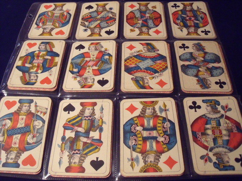
S.D.MODIANO ://:
WIENER BILD.
Wiener Bild.Portrait Viennois. Jeu Des Couronnes.Kaffée Haus KARTEN.(cartes des maisons de café.)type A. 52cartes.complet.1906.Fabricant:SD.ModianoTriest.Italie.Trés bon état .Sans boite.
Riferimento per il libraio : 0631906
|
|
|
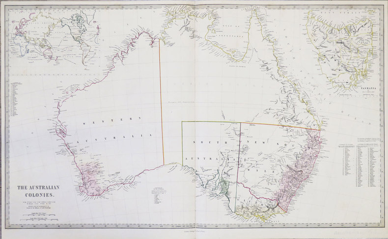
S.D.U.K.
[AUSTRALIE] The Australian colonies.
London, George Cox, 1853. 405 x 684 mm.
Riferimento per il libraio : LBW-855
|
|
|
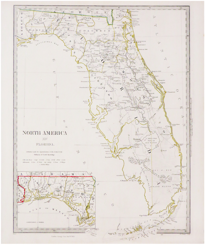
S.D.U.K.
[FLORIDE] North America XIV Florida.
London, George Cox, 1852. 410 x 312 mm.
Riferimento per il libraio : LBW-3494
|
|
|
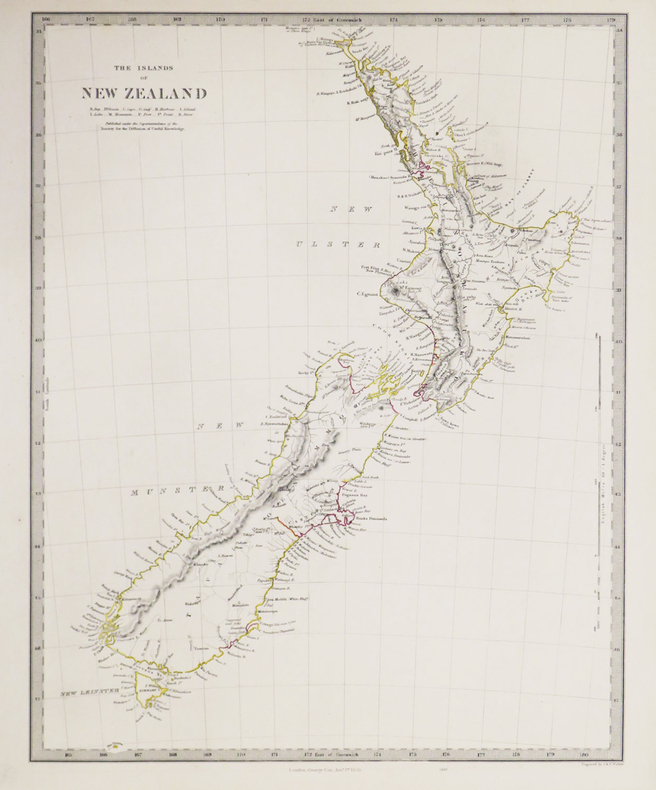
S.D.U.K.
[NOUVELLE-ZÉLANDE] The Islands of New Zealand.
London, George Cox, 1853. 400 x 310 mm.
Riferimento per il libraio : LBW-3418
|
|
|
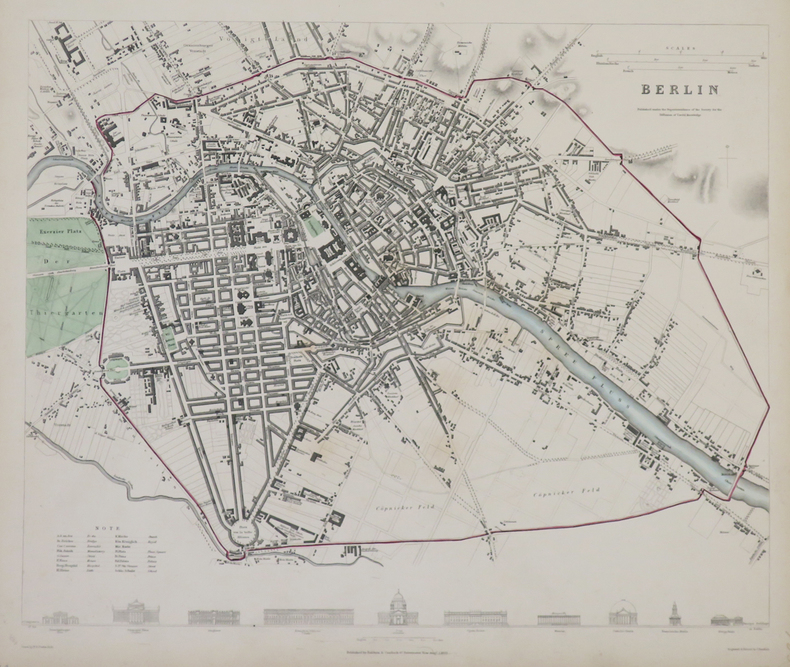
S.D.U.K.
Berlin.
Londres, Baldwin & Cradock, 1833. 310 x 365 mm.
Riferimento per il libraio : LBW-4317
|
|
|
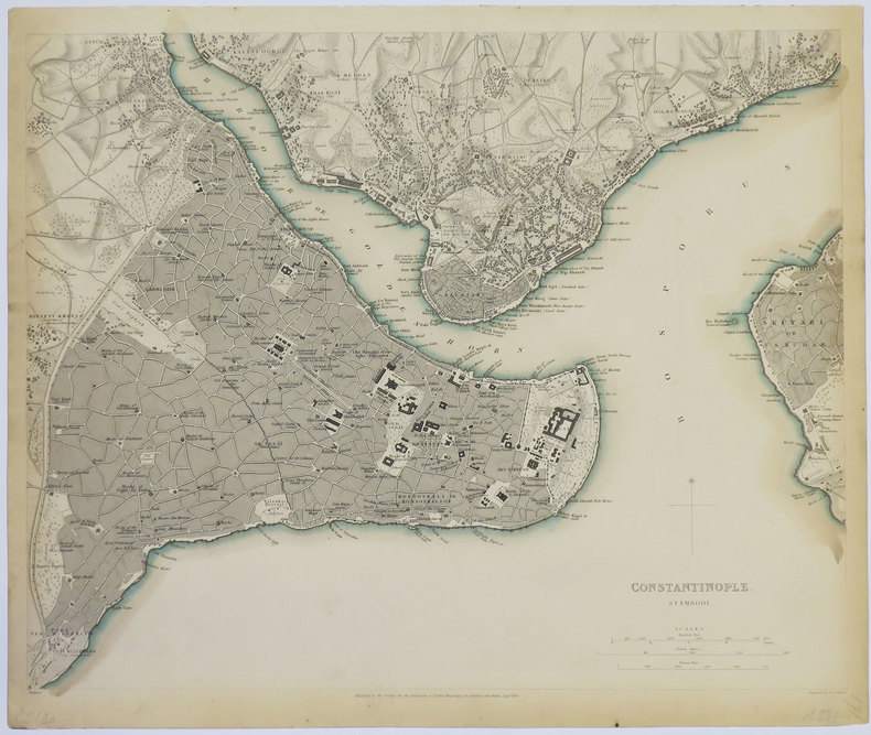
S.D.U.K.
Constantinople. Stambool.
Londres, 1840. 320 x 391 mm.
Riferimento per il libraio : LBW-3552
|
|
|
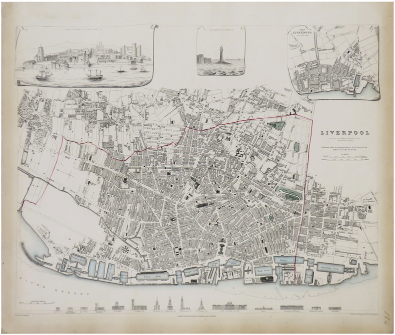
S.D.U.K.
Liverpool reduced by permission from Mr. Gage's elaborate survey.
Londres, Baldwin & Cradock, 1836. 380 x 385 mm.
Riferimento per il libraio : LBW-1765
|
|
|
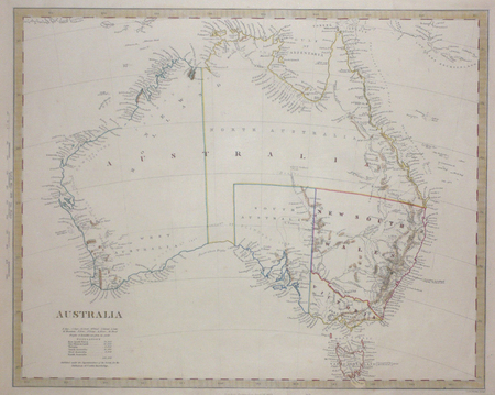
S.D.U.K.;
[AUSTRALIE] Australia.
Londres Society for the Diffusion of Useful Knowledge 1853 317 x 395 mm.
Riferimento per il libraio : LBW0072b
|
|
|
S.D.U.K.;
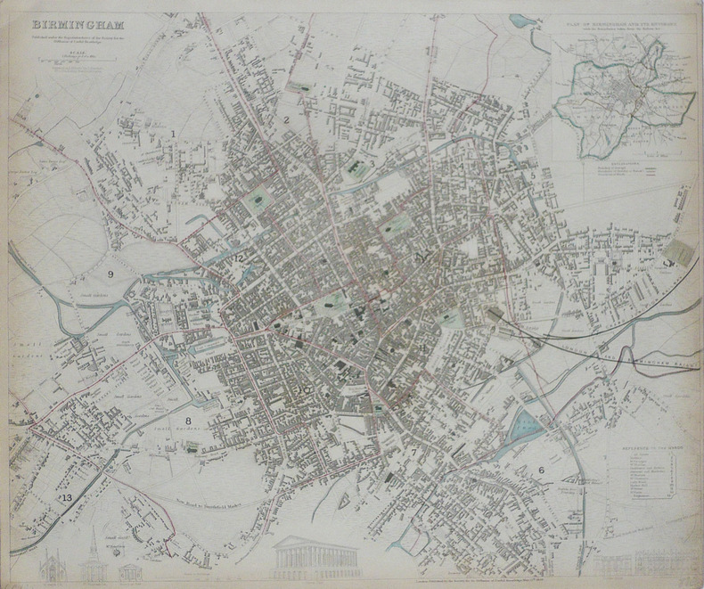
Birmingham.
Londres Society for the Diffusion of Useful Knowledge 1839 332 x 403 mm.
Riferimento per il libraio : LBW-1767
|
|
|
S.I.- Neris les bains
Cartes de Neris les bains et ses environs
S.I.- Neris les bains, grandes cartes dépliantes,texte au dos,rare
Riferimento per il libraio : 25585

|
|
|
Saalfeld:
Saalfeld. "Plan des Marches einiger Königl. Preussischen Trouppen nach Salfeld und der dabey vorgefallenen Gefangennehmung zweyer Bataillons der combinirten Reichs-Armee, d. 2. April 1761". Schlachtenplan von Saalfeld. Kupferstich mit farbigen Truppenaufstellungen aus "Neues Kriegs-Theater ...", No. 38.
Format: 18 x 29,5 cm. *Leicht gebräunt, insgesamt gut erhalten. Landkarten de
|
|
|
SAARBRUCKEN
Carte d'Etat-Major au 1/200 000?. Fin XIXe.
1 feuille repli?e. 32x49 cm.
|
|
|
Saccone, Richard
Travel Korea Your Way
213 pages including index. Describes over 60 of the most popular attractions Korea has to offer. Includes over 160 spectacular color photos and 20 informative maps. Provides everything you need to plan a wonderful vacation in Korea. Price clipped from flap of back cover. Minimal traces of wear. Tiny rubber date stamp upon bottom edge of textblock. Book
|
|
|
Sack Manfred
Playgirls d'Antan.
Duculot In-12°, 171 pages, bel ouvrage orné de 77 clichés à pleine page au format carte postale en noir et en couleurs. Agréable ex. (petite tache sur le plat)
Riferimento per il libraio : 9183

|
|
|
SAGANSAN (L.).
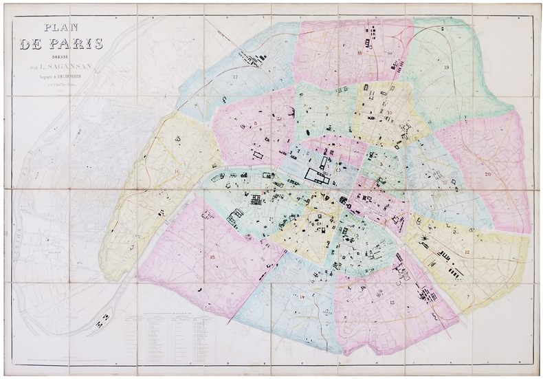
Plan de Paris.
1866. En 32 sections montées sur toile et pliées, formant une carte de 0,80 x 1,14 m ; étiquette de l'éditeur Lanée au dos de la carte ; sous étui de papier marbré.
Riferimento per il libraio : LBW-5780
|
|
|
SAGANSAN (L.).
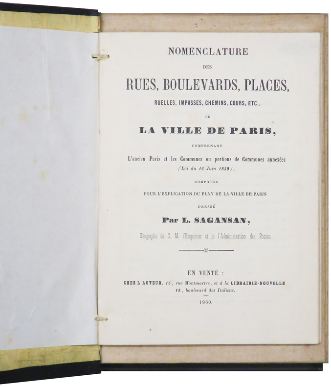
Plan de Paris.
Paris, chez l'auteur, 1860. En 36 sections montées sur toile et pliées, formant un plan de 0,79 x 1,14 m ; monté dans sa reliure éditeur en percaline noire (20,5 x 13 cm), contenant une nomenclature des rues de 104 pages ; titre en lettres dorées sur le premier plat.
Riferimento per il libraio : LBW-6199
|
|
|
SAGANSAN (Léonard).
Carte des postes de l'Empire français. indiquant toutes les voies de communication, dressée d'après les documents officiels les plus récents par ordre de M. Éd. Vandal, conseiller d'État, directeur général des postes
Paris, 1870 grande carte dépliante (119 X 132 cm) repliée au format in-8, contours rehaussés de couleurs, en feuilles, entoilées.
Riferimento per il libraio : 242647
|
|
|
Sagansan.
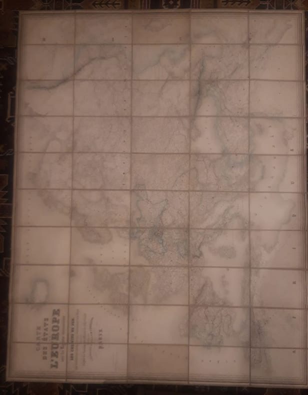
Carte des Etats de l'Europe avec les régions circonvoisines, indiquant les chemins de fer, les principales routes et les subdivisions des états, dressée d'après les documents officiels les plus récents.
1868 1 160 cm x 120cms Carte Entoilée indiquant les chemins de fer, les principales routes et les subdivisions des états, dressée d'après les documents officiels les plus récents.Géographie gravée par Blondeau et écritures par Rousset.
Riferimento per il libraio : LCI-4059
|
|
|
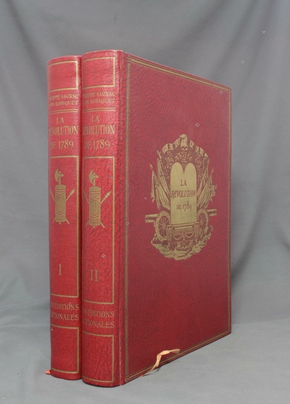
SAGNAC Philippe:
La Révolution de 1789.
A Paris, Les Ed. nationales, 1934. 2 volumes in-4 de XV-390-[6] + 412-[12] pages, reliure d’éditeur percailne rouge, dos lisses ornés, plats ornés d’un médaillon doré en leur centre et encadré de 3 filets dorés, couvertures conservées.
Riferimento per il libraio : 1643
|
|
|
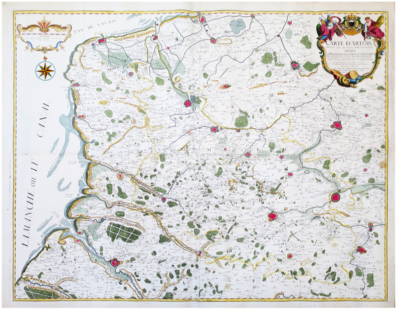
SAINT-ALEXIS (Constantin de).
[ARTOIS] Carte d’Artois dressée sur de nouveaux mémoires.
Arras, Barbier, 1741. En quatre feuilles jointes formant une carte de 97,3 x 119,6 cm.
Riferimento per il libraio : LBW-6681
|
|
|
SAINT-GERMAIN.-
Maître Pierre, ou le Savant de village. Géographie de la France.
Paris, Chez F.G. Levrault, 1834, in-12°, 216 p. + 3 cartes dépliantes, envois ms à la première page + stempel 'Hospice du Simplon', en page de titre. cartonnage originale illustrée. Bel exemplaire.
Riferimento per il libraio : 50921aaf
|
|
|
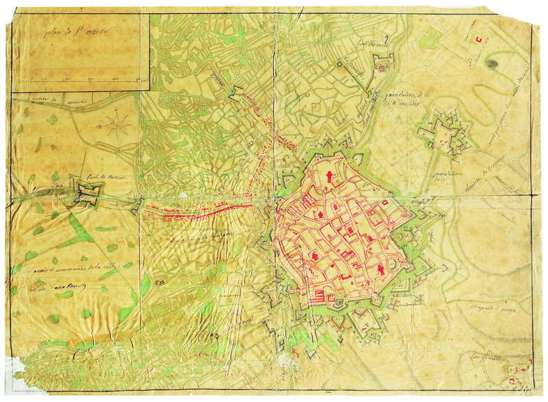
SAINT-OMER. MANUSCRIT.
Plan de S.t Omer.
[circa 1710]. En 2 feuilles jointes de 510 x 715 mm.
Riferimento per il libraio : LBW-4193

|
|
|
SAINT-OMER. MANUSCRIT.
Plan de St Omer.
[circa 1750]. En 2 feuilles jointes de 435 x 600 mm, sur papier fin huilé.
Riferimento per il libraio : LBW-4194
|
|
|
SAINTE-CROIX par Ernest-Louis PAILLARD.
Les vallons de Sainte-Croix et des Granges de Sainte-Croix, dans le Haut Jura vaudois. Etude de géographie avec 22 cartes, dessins et graphiques dans le texte.
Ntel, société neuchâteloise de géographie 1943. Bel ex. broché, couv. D'orig. Gd in-8, 152 p. pour cette étude avec introductions, illustrations et sources.
Riferimento per il libraio : AUB-7920
|
|
|
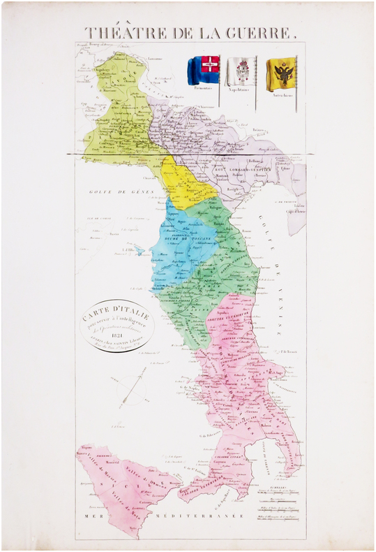
SAINTIN (Claude-Auguste).
Théâtre de la guerre. Carte d'Italie pour servir à l'intelligence des opérations militaires.
Paris, Saintin, 1821. 535 x 241 mm.
Riferimento per il libraio : LBW-8033
|
|
|
SAIT TALÂT (Büyük Erkâniharbiye IX. Sube Md. Deniz Kaymakami).
En eski Amerikan haritasi.
Very Good Turkish Modern cloth. Roy. 8vo. (24 x 17 cm). In Turkish. 16, [1] p., b/w ills. En eski Amerikan haritasi.
|
|
|
Sakellarakis, JA
Herakleion Museum
Previous owner's name on ffep. No other inscriptions or marks. No creasing to covers or to spine. A very clean crisp tight copy with bright unmarked boards and no bumping to corners. 144pp. Comes with a tucked-in map of Crete and details of public bus service.

|
|
|
Sakkas,George K.
Crete in Colour : A Tourist Guide Book.
Short interesting guide book to Crete. 120p. plates (some col.) maps of Crete and street map of Iraklion. Vintage copyY) Book
|
|
|
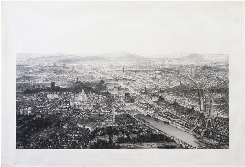
SALATHÉ (Friedrich).
Aspect général de Paris. Vue prise à vol d'oiseau du Jardin des Plantes.
Belleville, A. Appert, [1855]. 580 x 824 mm.
Riferimento per il libraio : LBW-8699
|
|
|
Sale, Richard ; Rudd, Peter
The Visitor's Guide to the Italian Lakes
No marks or inscriptions to contents. A very clean very tight copy with bright unmarked red cloth boards, discolouration to small part of upper rear corner and no bumping to corners. Dust jacket price clipped but not marked or torn or creased with general traces of storage. 256pp. Detailed guide to the Italian Lakes - Orta, Maggiore, Lugano, Como and Garda and the surrounding area. Well illustrated.

|
|
|
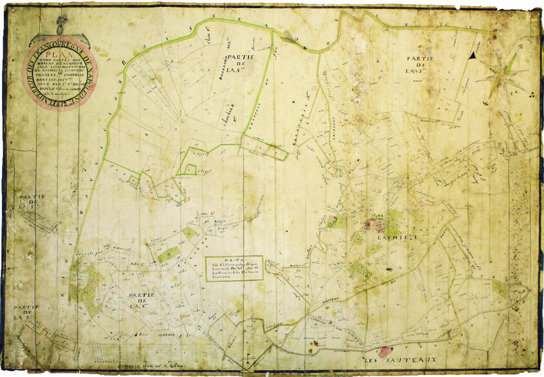
SALEON DUCLO (Jean-François). MANUSCRIT.
Plan d'une partie des biens de monsieur Jala Louis Allexandre de Lachieze, commune de Pranles comprise dans les sectons levé par Jn Fois Saléon Duclo géomètre du cadastre de la ville de Cheylard.
1812. 560 x 825 mm.
Riferimento per il libraio : LBW-4182
|
|
|
SALMON (Thomas).
[SICILE] Carta geografica dell'isola di Sicilia.
[Venise, Albrizzi, 1762]. 331 x 430 mm.
Riferimento per il libraio : LBW-3150

|
|
|
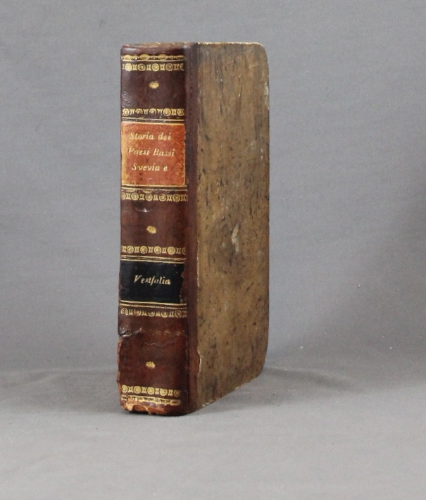
SALMON Thomas:
Lo stato presente du tutti i paesi, e popoli del mondo naturale, politico, e morale, con nuove osservazioni, e correzioni degli antichi, e moderni viaggiatori. Volume X. Dei circoli susseguenti dell'Imperio, cioe' Svevia, alto, e basso Reno, e Vestfalia e delle dieci provincie dei Paesi Bassi austriaci, e francesi.
Venezia, Giambatista Albrizzi, 1740. In-8 de [12]-502-[2]p. demi-basane brune, dos lisse, filets et fleurons dorés, pièces de titre et tomaison noir et orange (un mors fendu tristement recollé, coins tapés, rousseurs, annotations).
Riferimento per il libraio : 6334
|
|
|
Salvador, I.
Geschichte der RÖmerherrschaft in JudÄa und der ZerstÖrung Jerusalems [Vol. 2 ONLY]
[Vol.2 ONLY]. 8' 483pp. glit hardcover. cover slightly worn. ex library with usual words. a few pencil marks on inner cover. some aging marks on pages. a couple of maps added. else in fair condition.
|
|
|
Samson, Pet. Heinr. [Peter Heinrich]
Die Entwickelung der Freien und Hansestadt Hamburg von der Entstehung bis auf die Gegenwart in geschichtl. Grundzügen, Sagen u. Biographien, nach den Quellen chronologisch geordnet.
Hamburg, Carl Pottier, 1886. VIII, 119 S. Mit 1 gefalt. farb. lithograph. Straßenplan. HLn. d. Zt.
Riferimento per il libraio : 17370

|
|
|
Samuel Merwin, endpapers of maps with former owner stamp & some fox, Beautiful coloured frontispiece with small stain at top pag
Silk A Legend as narrated in the journals & correspondence of Jan Po
Houghton Mifflin Printed in Great Britain. HBNoDJ 1923 1st editionGreen Silk Covers lettered in Gold GiltCover some stains & small amount clear tape & some wear Hinge starting slightly interior Nice & TightVG-/G- AS-IS NODJ. Houghton Mifflin, Printed in Great Britain unknown
Riferimento per il libraio : 7552
|
|
|
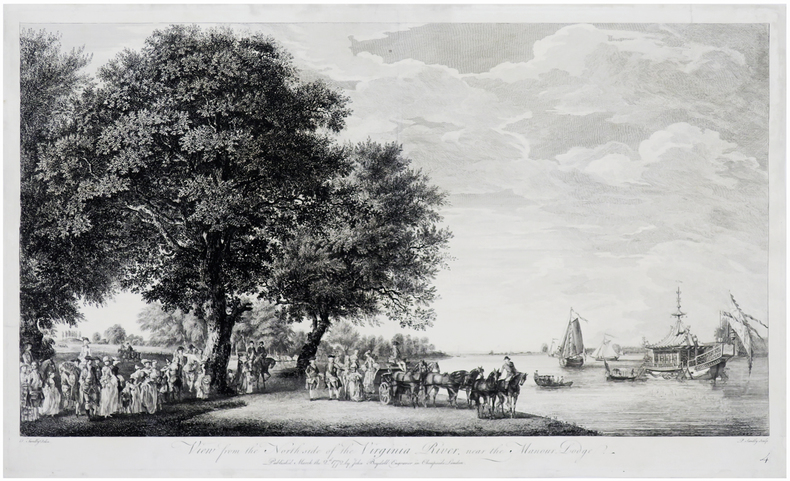
SANDBY (Thomas) & SANDBY (Paul).
[GRAND PARC de WINDSOR] View from the north side of the Virginia river, near the Manour Lodge.
London, John Boydell, March the 2.d 1772. 335 x 563 mm.
Riferimento per il libraio : LBW-6246
|
|
|
SANDEMANN;
ORLEANS (Loiret).
Paris Benard circa 1850 216 x 295 mm.
Riferimento per il libraio : LBW03d6b

|
|
|
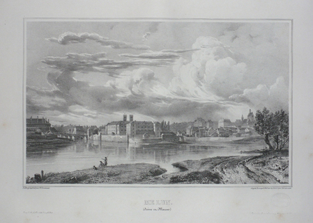
SANDMANN.
MELUN (Seine et Marne).
Paris, Benard, [circa 1850]. 212 x 298 mm.
Riferimento per il libraio : LBW03d75
|
|
|
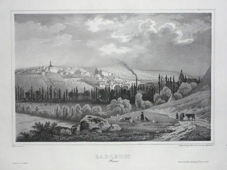
SANDMANN;
BAR-LE-DUC (Meuse).
Paris Benard circa 1850 222 x 295 mm.
Riferimento per il libraio : LBW03d58
|
|
|
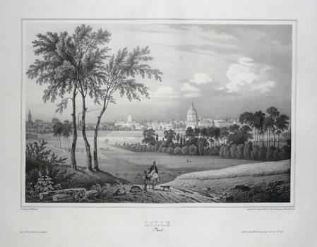
SANDMANN;
LILLE (Nord).
Paris Benard circa 1850 225 x 292 mm.
Riferimento per il libraio : LBW03d78
|
|
|
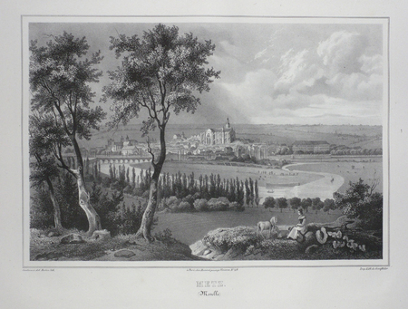
SANDMANN;
METZ (Moselle).
Paris Benard circa 1850 224 x 292 mm.
Riferimento per il libraio : LBW03d4f
|
|

 Ricevere i risultati per e-mail
 Scaricare i risultati in PDF
 RSS feed
 Link
Link


