|
|
|
WYLD'S MILITARY MAP OF ZULU LAND.
Wyld's Military Sketch of Zulu Land, the Transvaal and Adjoining Territories. Scale 4.5 inches to 50 miles. ZULU WAR: A RARE SURVIVAL
8vo., folding coloured map on cloth measuring 31.5 x 22.5 inches (approx. 80 x 57 cms) folding in 20 panels to 7 x 4 inches (approx. 18 x 10 cms); tragically wanting front pasted wrapper (rare wrapper intact), some mild age-soiling else a very good, clean copy. Produced specifically for British military staff; the map is overprinted in red denoting the Positions of British Advancing Columns. RARE.
|
|
|
Wyonch, Cathy: Editor
Hewers of the Forests, Fishers of the Lakes - The History of St. Edmonds Township
252 pages. Examines the social and economic aspects of life in St. Edmonds since its beginning. Contains a blend of information from a number of sources including newspapers, scrapbooks, diaries, letters, photos, and other authors' research. Includes a treasure trove of genealogical information. Numerous black-and-white illustrations. Black-and-white photographic endpapers. Other than some hand-written genealogical details hand-written upon the family tree on page 205, book is clean, bright and unmarked with negligible wear. Moderate wear and bit of sunning to colourful dust jacket. Excellent copy overall. Book
|
|
|
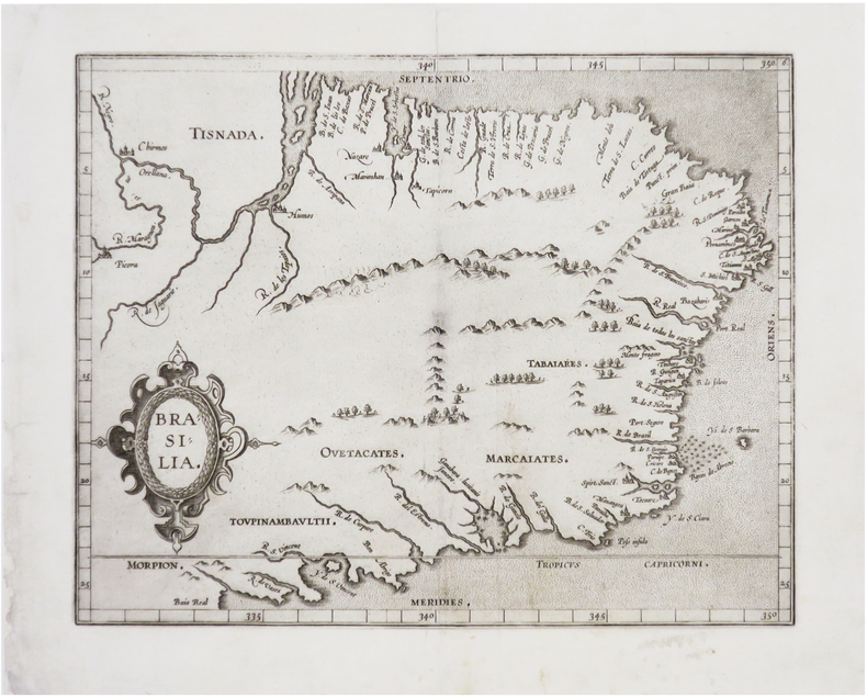
WYTFLIET (Cornelius).
[BRÉSIL] Brasilia.
[Douai, François Faber, 1607]. 228 x 286 mm.
Referenz des Buchhändlers : LBW-8130
|
|
|
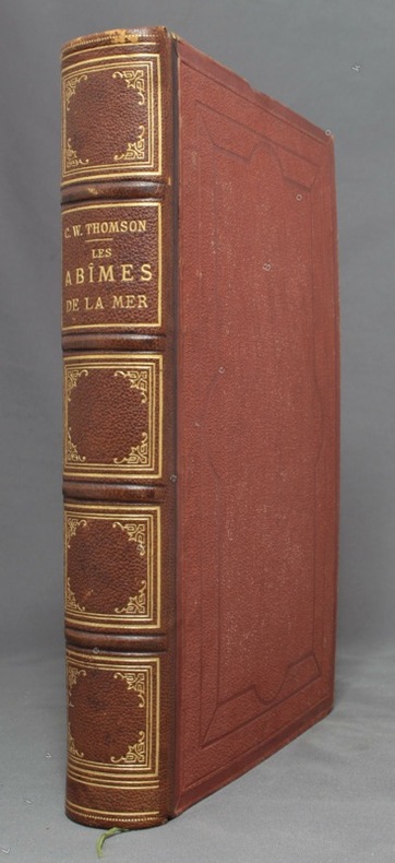
WYVILLE THOMSON [Charles]; LORTET Dr (trad.):
Les abîmes de la mer. Récits des expéditions de draguage des vaisseaux de S. M. le Porcupine & le Lightning pendant les étés de 1868, 1869 & 1870 sous la direction scientifique du Dr Carpenter, de M. J. Gwyn Jeffreys & du Dr Wyville Thomson.
Paris, Librairie Hachette, 1875. In-4 de XXVII-454-[2] pages, demi-chagrin marron, dos à 4 nerfs orné de fleurons, filets, encadrements et titre dorés, plats de percaline, gardes moirées. Dos légèrement frotté, rousseurs, un cahier très légèrement déboîté.
Referenz des Buchhändlers : 10028
|
|
|
Wörl, J. E.:
Karte der Umgegend von Mainz und der Taunusbäder. Entworfen im Maßstab 1 zu 130.000 herausgegeben von H. Malten.
16,5 x 12 cm, aufgefaltet: 55 x 64 cm. Auf Leinen aufgezogen, im orig. Kartonschuber mit handschriftl. Deckeltitel. *Karte von Worms bis Idstein (Süd-Nord) und von Bacherach im Westen bis Offenbach im Osten. - Sehr gut erhalten. Landkarten de
|
|
|
Württemberg:
Ducatus Würtenbergici cum Locis limitaneis, utpote maxima parte Circuli Suevici praesertim Utroq.Marchionatu Badn et Sylva vulgo Nigra Nova per M. Iohannem Majer operá Ioh. Baptiste Homanni. Altkolorierte Kupferstichkarte nach Johann Majer.
Von 2 Platten gestochen und zu einer Karte zusammengesetzt. Format (Karte): 58 x 94 cm. Blattgröße: 68 x 100 cm. *Großformatige Karte von Württemberg (auch große Teile von Baden) von zwei Platten gestochen mit dem Gebiet im Westen von Straßburg und Weissenburg im Norden von Mosbach bis Hohenlohe, im Osten bis Dinkelsbühl, Nördlingen und Burgau und im Süden bis zur oberen Donau. - Oben links eine figürliche kol. Kartusche mit Dedikation an Herzog Eberhard Ludwig sowie einer kleinen Gesamtansicht von Stuttgart und dem Porträt von Herzog Eberhard Ludwig. - Oben rechts eine kol. Kartusche mit dem Wappen Württembergs und einer Ansicht von Tübingen. - Die Ränder rechts und links mit je 38 kolorierter Stadtwappen württembergischer Städte. - Mit Kolorit in der Karte ist der Bereich "Comitatus Hohenberg" markiert (aus dem Vorbesitz des Grafen von Hohenberg). Die weißen Außenränder etwas angestaubt und mäßig gebräunt. Bei Interesse können Sie auch den bisherigen Rahmen dazu haben (dieser nur bei Abholung). Landkarten de
|
|
|
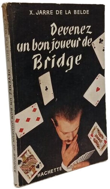
X. Jarre de la Belde
Devenez un bon joueur de Bridge
Hachette 1954 in12. 1954. Broché. Guide pratique pour apprendre et progresser au bridge publié en 1954 par l'éditeur Hachette. Le livre présente un état d'usage avec une couverture légèrement passée et des pages jaunies par le temps
Referenz des Buchhändlers : 100148144
|
|
|
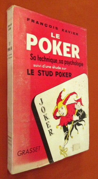
Xavier François
LE POKER. Sa technique , sa psychologie. Suivi d'une étude sur le stud poker.
Grasset, 1955. In-8 broché, couverture illustrée, 222 pages, pages non coupées, tableaux, figures. Très bon état de fraicheur.
Referenz des Buchhändlers : 20362
|
|
|
XXX .
ACADEMIE DES JEUX
,contenant les principaux jeux de cartes et de combinaison ,par une Société d'Amateurs .Aumgmentée d'un traité complet du jeu de l'Ecarté et de l'abrégé du jeu des echecs par Philidor . 1832 . Libr.Fontaine , In 16 relié plein chagrin marron .Dos lisse .Pièce de titre noire .Couvertures conservées .(Rel.mod.) II,178 pp.
Referenz des Buchhändlers : 17032
|
|
|
Y. & R. Coudereau
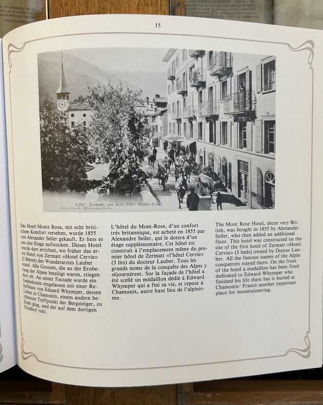
Zermatt Es war einmal - autrefois - it was once upon a time
1981, Rotten Verlag, in 8 carré broché, 86 pages. Reproductions de cartes postales anciennes (1900-1910). Belle couverture illustrée avec copie d'un timbre de 5 centimes. Texte en allemand, français, anglais. 1 carte postale par page, voir photo.
Referenz des Buchhändlers : CSP-1900
|
|
|
Yaakov Aviel
Choice of illustrations from Yaakov Aviel's collection of Holy Land auctioned on 19th july 1984.
Tel Aviv (Israël): Yaakov Aviel Publisher, 1984 in-4, xvi-72 pages, 49 ill. n/b, 49 ill. coul. Broché. Collection de cartes et de vues topographiques anciennes de la Terre sainte.
Referenz des Buchhändlers : 13965498
|
|
|
Yamamoto, Luci & Gorry, Conner
Hawaii: The Big Island
Appears unread. No marks or inscriptions. No creasing to covers or to spine. A very clean very tight copy with bright unmarked boards, minor traces of storage and no bumping to corners. 304pp. Lonely Planet guide to Hawaii with thirty-five themed itineraries for you to enjoy.

|
|
|
YAMASHITA KAZUMASA.
Japanese Maps of the Edo Period.
Kashiwashobo Publishing Co., Ltd, 1998, 1 volume de in-folio de 310x230 mm environ, 270 pages, reliure pleine toile de l'éditeur sous jaquette illustrée. Contient des illustrations des cartes et des plans en noir et en couleurs. Petits frottements sur le haut du dos de la jaquette sinon bon état. Bilingue. Texte en japonais avec la traduction anglaise en regard.
Referenz des Buchhändlers : 108923

|
|
|
Yandell, Michael D. (editor)
National Parkways: A Photographic and Comprehensive Guide to Grand Canyon National Park
Initials to front cover. No other marks or inscriptions and no creasing to covers. A very clean very tight copy with bright unmarked boards and no bumping to corners. Fold-out map in excellent condition. 118pp. Superbly illustrated photographic souvenir of Arizona's Grand Canyon with full history and detailed description.

|
|
|
Yeadon-Jones, Anne; Yeadon-Jones, Laurence
The Broughtons: Vancouver Island, Kelsey Bay to Port Hardy, Volume 5 (Dreamspeaker Series)
Book is in excellent condition. Binding is solid and square, covers have sharp corners, exterior shows no blemishes, text/interior is clean and free of marking of any kind. 192 pages with maps, tables, charts, soundings, very specific harbor entry info etc. for Jonstone Strait, Broughton Strait, Broughton Archipelago, Queen charlotte Strait, Drury Inlet, Grappler and Mackenzie Sound, Greenway Sound, cullen Harbour, Shawl Bay, Tribune Channel Kwatsi Bary, bond sound, Knight Inlet, Lagoon cover, and much more.
|
|
|
Yegul, Fikret
Baths and Bathing in Classical Antiquity
Book is in excellent condition, as new with bright red covers, white print at spine, map endpapers. Binding is solid and square, covers have sharp corners, exterior shows no blemishes, text/interior is clean and free of marking of any kind. Heavily illustrated throughout with architectural drawings, floorplans, maps, interiors, exteriors, landscape maps, b&w photos of elevations, facades, ruins, details, etc. Dust jacket shows the slightest signs of shelf wear only, no tears. Contents include: Greek gymnasium and the Greek bath, Bathing and baths in the Roman wold, Origins and early development of Roman baths, Thero-mineral baths, Thermae of Rome, Baths of North Africa, Baths and gymnasia in Asia Minor, Baths and bathing in the late antique and early Byzantine world, with four appendices, notes, etc. 501 pages. copyright Pistil Books, 2011

|
|
|
Young, C. A.
URANOGRAPHY. A Brief Description of the Constellations Visible in the United States with Star-Maps, and Lists of Objects Observable with a Small Telescope. A Supplement to the Author's "Elements of Astronomy for High Schools and Academies".
42p. + Plus four double page maps. Inked ownership of John Mears, Talbot House. 12mo. Original stiff paper wraps, gold lettered. Slight loss on spine. SCIENCE BOX 4
|
|
|
YOURCENAR (Marguerite)
La Couronne et la lyre
Paris Gallimard NRF 1979 In-8 Broché Dédicacé par l'auteur
Referenz des Buchhändlers : 014805
|
|
|
YRWIN (Eyles )
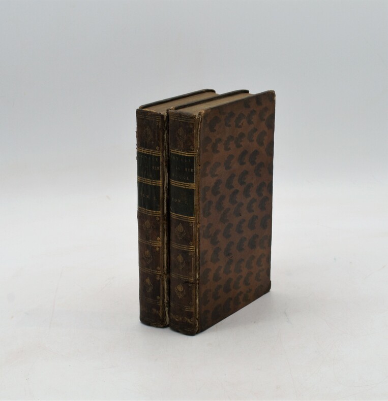
Voyage a la mer rouge, sur les cotes de l'Arabie, en Egypte, et dans les deserts de la Thébaide; suivi d'un autre, de Venise, Alep, les déserts, etc.
Chez Briand, à Paris 1792, 2 tomes en 2 Vol. in-8 (13,5x21,8cm), (2) vj, 440pp. et (2) 483pp., relié plein basane tacheté , dos lisse orné avec pièces de titre et tomaison vertes , ex-libris manuscrit , coiffes et coins usés , charnières fendues , vieilles mouillures avec quelques traces .
Referenz des Buchhändlers : PHO-1241
|
|
|
Yu, Lu Ching (editor)
The Scenic Resorts of Taiwan
Previous owner's name/date to first page. No other marks or inscriptions. No creasing to covers or to spine. A very clean very tight copy with bright unmarked boards, fading to spine and slight rubbing to rear and to corners. Front end paper missing and next two pages partially cut along hinge. Lovely red silk board covers with gilt lettering. 200pp. Guide to the sights and culture of Taiwan, in English and Chinese.

|
|
|
YUSUF AKÇURA.
Piri Reis haritasi.= La carta marina di Piri Reis.= Die karte des Piri Reis.= Carte de Piri Reis.= Piri Reis map.
Fine English Paperback. Pbo. Very good. Cr. 8vo. (20 x 14 cm). In Turkish, Italian, German, French and English. 44 p. Piri Reis haritasi.= La carta marina di Piri Reis.= Die karte des Piri Reis.= Carte de Piri Reis.= Piri Reis map.
|
|
|
Yvon Pierre-Jean
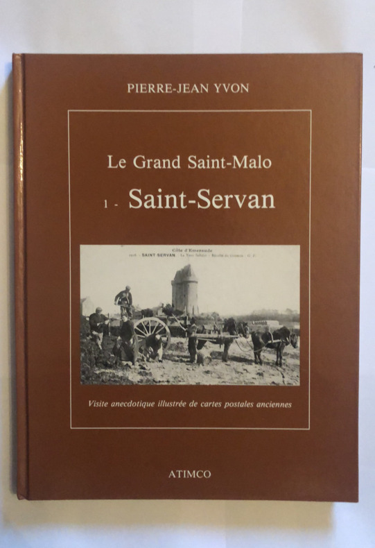
Le grand Saint-Malo 1: Saint-Servan
in-4 reliure illustrée éditeur en très bon état de 182 pages éditions Atimco sous-titre: Visite anecdotique illustrée de cartes postales ancienne Envoi signé de l'auteur
Referenz des Buchhändlers : yam0034
|
|
|
Yücel Akat
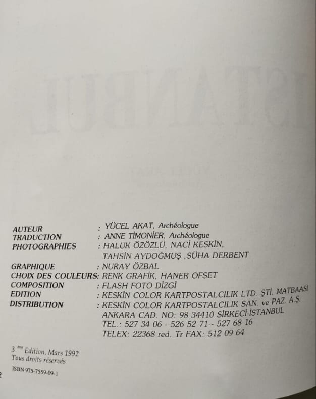
Istanbul
Keskin Color Kartpostalcilik 1992 1992. Ce livre de Yücel Akat publié par Keskin Color Kartpostalcilik en 1996 semble être un ouvrage illustré sur Istanbul. Il évoque une exposition qui invite à découvrir les traces de la ville ses œuvres d'art et artefacts à travers les siècles ainsi que des lieux emblématiques comme le Bosphore et la Corne d'Or
Referenz des Buchhändlers : 500337458
|
|
|
YÜCEL YAMAN.
Sokak sokak Istanbul kent atlasi: 1/7.500.
Fine Turkish Paperback. Roy. 8vo. (24 x 17 cm). In Turkish. 786 p., plan and color ills. Sokak sokak Istanbul kent atlasi: 1/7.500. A very detailed city street atlas of Istanbul. All sorts of tourist information is shown on the maps using symbols - cemeteries, hotels, rail stations, cafes, banks, museums, etc. This is an excellent, detailed, current atlas and highly recommended. 583 map pages and 199 pages of street index.
|
|
|
Zabala, Aranzazu; Saiz, Blanca; Anderton, Colin Barry; Kennedy, J.E.; McCann, B.
To the Totem Shore: The Spanish Presence on the Northwest Coast - World Exposition, Vancouver 1986, Pavilion of Spain
240 pages. Bibliography. Index of names. Index of geographical references. Handsome reproductions of historic maps and illustrations. Printed upon glossy stock. Chapters include: Galleons, Pirates, Pearls and Fantastic Straits - California, XVIIth Century; Russian, French, British and American Incursions into "The Spanish Lake"; The Spanish Presence on the Northwest Coast - Sea-going Expeditions (1774-1793); Spanish Cartographic Surveys of the Northwest Coast in the XVIIIth Century - The Corps of Naval Steersmen; The Culture of the Indians of the Northwest Coast; Faces in the Forest - Mozino's Noticias de Nutka; A Personal View of the Northwest Coast - The journal of Tomas de Suria (1791); Nootka - the Crisis of 1789. Fore-edge of front free endpaper rumpled, othwerwise book clean and unmarked with light wear. Average wear to dust jacket which is now preserved in glossy new archival-grade Brodart. A sound copy of this handsome and very informative work. Book

|
|
|
ZAHN Johann (1631-1707)
Tabula Geographico-Hydrographica Motus Oceani Currentes, Abyssos, Montes Ignivomos in Universo Orbe…
Carta nautica del mondo tratta dalla Specula physico-mathematico-historica notabilium ac mirabilium sciendorum, in qua mundi mirabilis oeconomia ... nunc autem ad lucem protractus, ac ad varias perfacili methodo acquirendas scientias in epitomen collectus thesaurus curiosis omnibus cosmosophis inspectandus proponitur... / authore Joanne Zahndello Zahn, una cosmografia riccamente illustrata. Zahn era un monaco, studioso e scienziato, si dedicò a studi sulla camera oscura. La sua opera è sulla scia di Athanasius Kircher - studioso gesuita, uno dei primi scrittori sui fenomeni fisici della terra - che, nel suo Mundus Subterraneus (1665) teorizzava che tutti gli oceani della Terra erano connessi tra loro tramite dei tunnel sotterranei che univano oceani e mari. Tra il Mar Mediterraneo, il Mar Nero, il Mar Caspio e il Golfo Persico, Kircher ha teorizzato enormi gallerie e un complesso interscambio di flussi d'acqua. Questi tunnel sono particolarmente noti tra il Mar Nero e il Mar Caspio e tra il Mediterraneo e il Golfo Persico. L'Antartide è rappresentata lungo la parte meridionale della mappa. A nord è raffigurato un grande passaggio aperto a nord-ovest che corre lungo tutta la mappa. Mostra la Nuova Guinea e una suggestione dell'Australia collegata alla terraferma Australsis Incognita. L'Africa è mostrata con una precisione notevolmente maggiore rispetto a molte mappe disegnate centinaia di anni dopo - in particolare per quanto riguarda il Niger e i sistemi fluviali del Nilo. Il Nord America e il Sud America sono entrambi maldestramente raffigurati, il che indica una conoscenza relativamente sommaria del continente. La Corea viene mostrata come un'isola e il Giappone appare come un'unica isola. Incisione in rame, in ottimo stato di conservazione. A world chart from the Specula physico-mathematico-historica notabilium ac mirabilium sciendorum, in qua mundi mirabilis oeconomia ... nunc autem ad lucem protractus, ac ad varias perfacili methodo acquirendas scientias in epitomen collectus thesaurus curiosis omnibus cosmosophis inspectandus proponitur... / authore Joanne Zahn, a finely illustrated cosmography, designed to show the ocean currents, vortexes and volcanos. Johann Zahn (1631-1707), a German monk, also published a … read morebook on optics, 'Oculus Artificialis Teledioptricus Sive Telescopium' (1685), with extensive descriptions of both the camera obscura and the magic lantern, which he used for anatomical lectures.[«] SHIRLEY: World 583, "engravings of a high standard". The Mundi Mirabilis oeconomia was influenced by Kircher’s Mundus Subterraneus (1665). The Jesuit scholar, Athanasius Kircher, was one of the first compilers of semi-scientific knowledge about the physical features of the world. This map expounds on Kircher's theories by noting the abysses and the currents they create as well as the locations of the world's known volcanoes. Between the Mediterranean Sea, the Black Sea, the Caspian Sea, and the Persian Gulf, Kircher theorized massive tunnels and a complex interchange of water flows. These tunnels are noted most particularly between the Black and Caspian Sea and between the Mediterranean and the Persian Gulf. Antarctica is shown along the southern part of the map. In the North a great open northwest passage is depicted running all the way across the map. Shows New Guinea and a suggestion of Australia attached to the 'Australsis Incognita' mainland. Africa is shown with considerably greater accuracy than many maps drawn hundreds of years later – particularly with regard to Niger and Nile River Systems. North America and South America are both wildly malformed, indicating a relatively sketchy knowledge of the continent. Korea is shown as an Island and Japan appears as only a single island. Copperplate, very good condition. R. W. Shirley, "The Mapping of the world", 583.

|
|
|
ZATTA Antonio (Venezia 1722 - 1804)
Emisfero Terrestre Settentrionale tagliato su l'Equatore - Emisfero Terrestre Meridionale tagliato su l'Equatore
Coppia di carte geografiche tratte dall'Atlante Novissimo di Antonio Zatta, edito tra il 1779 ed il 1785. Mappamondo a proiezione polare, in due carte a fogli distinti, rappresentazione dell'emisfero terrestre settentrionale e meridionale. Nella lunga didascalia esplicativa al margine inferiore, nel redigere la carta e nel far riferimento alle "terre Antartiche, "in cui fin ora la Geografia non ha il minimo fondamento" si è fatto riferimento alle "più probabili congeture adottando il sistema proposto dal Sig.r Robeto de Vaugundy". É interessante come nella carta siano rappresentate le principali montuosità, con tratteggio da destra a sinistra. Tavole tratte dall’Atlante novissimo, illustrato ed accresciuto sulle osservazioni e scoperte fatte dai più celebri e più recenti geografi. Stampato in quattro volumi da Antonio Zatta tra il 1779 ed il 1785. Atlante fra i più belli e completi mai pubblicati in Italia nel XVIII secolo, l'opera più famosa dello Zatta. L’Atlante Novissimo, come si specifica anche nel titolo, è “accresciuto sulle osservazioni scoperte fatte dai più celebri e più recenti geografi”. Tra le novità più significative vi è la comparsa delle nuove isole scoperte nell'Oceano Pacifico da James Cook e la prima carta italiana della Nuova Zelanda. Le illustrazioni furono ideate e disegnate dai suoi collaboratori Giovanni Marco Pitteri, Anton Friedrich Busching, Pietro Antonio Novelli ed incise da Giuliano Zuliani. Il primo tomo dell’atlante è introdotto da un breve saggio di geografia generale dove l’autore definisce in modo sintetico e preciso gli elementi che compongono i reticoli eclittico ed equatoriale usati nelle tavole. Interessante la sezione dove si sofferma a descrivere il fenomeno della precessione degli equinozi e quello della variazione ciclica dell'obliquità dell'eclittica. Acquaforte, stampata su carta vergata coeva, coloritura coeva dei contorni, in buone condizioni. A polar projection World map taken from the Atlante Novissimo, printed in Venice between 1776 and 1785. The map was issued in Zatta's Atlante Novissimo a monumental 4 volume work and one of the last great decorative atlases. The northern plate, is based on De Vaugondy's map; this is a polar projection covering from the pole to the equator. In North America, the mythical Northwest Passage is shown connecting through the Strait of Anian to Hudson Bay. Lanhotan's Longue River is also shown connecting the Mississippi River with the Pacific.The southeren plate, depicts the Antarctic Hemisphere (south) to the equator and Capt. James Cook's route on his first voyage. New Zealand and the Australian East coast are featured in their entirety for the first time. Plates from the Atlante novissimo, illustrato ed accresciuto sulle osservazioni e scoperte fatte dai più celebri e più recenti geografi. Printed in four volumes by Antonio Zatta between 1779 and 1785. Atlas among the most beautiful and complete ever published in Italy in the eighteenth century, the most famous work of Zatta. The Atlante Novissimo, as also specified in the title, is “increased on the observations made by the most famous and most recent geographers”. Among the most significant innovations there is the appearance of the new islands discovered in the Pacific Ocean by James Cook and the first Italian map of New Zealand. The illustrations were designed and drawn by his collaborators Giovanni Marco Pitteri, Anton Friedrich Busching, Pietro Antonio Novelli and engraved by Giuliano Zuliani. The first volume of the atlas is introduced by a brief essay of general geography where the author defines in a concise and precise way the elements that make up the ecliptic and equatorial grids used in the tables. Interesting is the section where he pauses to describe the phenomenon of precession of the equinoxes and the cyclical variation of the obliquity of the ecliptic. Etching, printed on contemporary laid paper, contemporary outline coloring, in good condition.

|
|
|
ZATTA Antonio (Venezia 1722 - 1804)
Il Mappamondo o sia Descrizione generale del Globo
PRIMA EDIZIONE del mappamondo di Zatta con i due emisferi, edito a Venezia ne 1774.La mappa riporta le scoperte, allora recenti, del capitano Cook, successive a quelle in Australia e Nuova Zelanda. Di notevole interesse anche la cartografazione aggiornata della costa nord-occidentale dell'America, inclusa l'area del Pacifico. Di grande impatto decorativo, la carta è arricchita ai lati con quattro figure allegoriche dei quattro continenti. Carta geografica tratta dall’Atlante novissimo, illustrato ed accresciuto sulle osservazioni e scoperte fatte dai più celebri e più recenti geografi. Stampato in quattro volumi da Antonio Zatta tra il 1779 ed il 1785. Atlante fra i più belli e completi mai pubblicati in Italia nel XVIII secolo, l'opera più famosa dello Zatta. L’Atlante Novissimo, come si specifica anche nel titolo, è “accresciuto sulle osservazioni scoperte fatte dai più celebri e più recenti geografi”. Tra le novità più significative vi è la comparsa delle nuove isole scoperte nell'Oceano Pacifico da James Cook e la prima carta italiana della Nuova Zelanda. Le illustrazioni furono ideate e disegnate dai suoi collaboratori Giovanni Marco Pitteri, Anton Friedrich Busching, Pietro Antonio Novelli ed incise da Giuliano Zuliani. Il primo tomo dell’atlante è introdotto da un breve saggio di geografia generale dove l’autore definisce in modo sintetico e preciso gli elementi che compongono i reticoli eclittico ed equatoriale usati nelle tavole. Interessante la sezione dove si sofferma a descrivere il fenomeno della precessione degli equinozi e quello della variazione ciclica dell'obliquità dell'eclittica. Acquaforte, stampata su carta vergata coeva, coloritura coeva dei contorni, in buone condizioni. First edition of Antonio Zatta's decorative double hemisphere map of the World, published in Venice in 1774.Includes allegorical vignettes of the 4 continents, embellishing the outer corners.The map depicts the recent discoveries of Captain James Cook, immediately following his discoveries in New Zealand and Australia.The depiction of New Zealand is especially fascinating.The map also includes interesting updated cartographic details along the Northweast Coast of America, including the Sea of the West. Map from the Atlante novissimo, illustrato ed accresciuto sulle osservazioni e scoperte fatte dai più celebri e più recenti geografi. Printed in four volumes by Antonio Zatta between 1779 and 1785. Atlas among the most beautiful and complete ever published in Italy in the eighteenth century, the most famous work of Zatta. The Atlante Novissimo, as also specified in the title, is “increased on the observations made by the most famous and most recent geographers”. Among the most significant innovations there is the appearance of the new islands discovered in the Pacific Ocean by James Cook and the first Italian map of New Zealand. The illustrations were designed and drawn by his collaborators Giovanni Marco Pitteri, Anton Friedrich Busching, Pietro Antonio Novelli and engraved by Giuliano Zuliani. The first volume of the atlas is introduced by a brief essay of general geography where the author defines in a concise and precise way the elements that make up the ecliptic and equatorial grids used in the tables. Interesting is the section where he pauses to describe the phenomenon of precession of the equinoxes and the cyclical variation of the obliquity of the ecliptic. Etching, printed on contemporary laid paper, contemporary outline coloring, in good condition.

|
|
|
ZATTA Antonio (Venezia 1722 - 1804)
Il Mappamondo o sia descrizione generale del Globo ridotto in Quadro
Carta geografica tratta dall’Atlante novissimo, illustrato ed accresciuto sulle osservazioni e scoperte fatte dai più celebri e più recenti geografi. Stampato in quattro volumi da Antonio Zatta tra il 1779 ed il 1785. Atlante fra i più belli e completi mai pubblicati in Italia nel XVIII secolo, l'opera più famosa dello Zatta. L’Atlante Novissimo, come si specifica anche nel titolo, è “accresciuto sulle osservazioni scoperte fatte dai più celebri e più recenti geografi”. Tra le novità più significative vi è la comparsa delle nuove isole scoperte nell'Oceano Pacifico da James Cook e la prima carta italiana della Nuova Zelanda. Le illustrazioni furono ideate e disegnate dai suoi collaboratori Giovanni Marco Pitteri, Anton Friedrich Busching, Pietro Antonio Novelli ed incise da Giuliano Zuliani. Il primo tomo dell’atlante è introdotto da un breve saggio di geografia generale dove l’autore definisce in modo sintetico e preciso gli elementi che compongono i reticoli eclittico ed equatoriale usati nelle tavole. Interessante la sezione dove si sofferma a descrivere il fenomeno della precessione degli equinozi e quello della variazione ciclica dell'obliquità dell'eclittica. Il mondo è disegnato nella proiezione di Mercatore. Nel margine di sinistra sono riportate le zone climatiche, mentre a destra i gradi dei climi; la lunghezza del giorno e della notte; i climi settentrionali e meridionali. Acquaforte, stampata su carta vergata coeva, coloritura coeva dei contorni, in buone condizioni. This world map was published in Atlante Novissimo, and the world now shown in Mercator projection. Climate zones shown in left margin. Right margin shows Degrees of Climate, Length of Day, Length of Night, and Northern/Southern Climates. Map from the Atlante novissimo, illustrato ed accresciuto sulle osservazioni e scoperte fatte dai più celebri e più recenti geografi. Printed in four volumes by Antonio Zatta between 1779 and 1785. Atlas among the most beautiful and complete ever published in Italy in the eighteenth century, the most famous work of Zatta. The Atlante Novissimo, as also specified in the title, is “increased on the observations made by the most famous and most recent geographers”. Among the most significant innovations there is the appearance of the new islands discovered in the Pacific Ocean by James Cook and the first Italian map of New Zealand. The illustrations were designed and drawn by his collaborators Giovanni Marco Pitteri, Anton Friedrich Busching, Pietro Antonio Novelli and engraved by Giuliano Zuliani. The first volume of the atlas is introduced by a brief essay of general geography where the author defines in a concise and precise way the elements that make up the ecliptic and equatorial grids used in the tables. Interesting is the section where he pauses to describe the phenomenon of precession of the equinoxes and the cyclical variation of the obliquity of the ecliptic. Etching, printed on contemporary laid paper, contemporary outline coloring, in good condition.

|
|
|
ZELLER Jules
Fondation de l’Empire germanique
Charlemagne-OTTON le grand-Les OTTONIDES,in 8 demi-chagrin vert à nerfs,titre, fers dorés,filets à froid,plats percaline verte Lycée Condorcet sur le premier plat.Faux-titre,titre XXVI,carte dépliante en couleurs,L’Allemagne au temps des Carolingiens.499 pages,1 carte dépliante en couleurs,L’Allemagne au Temps des OTTONS.Didier é Cie 1873. Rousseurs habituelles,une légère décoloration en haut du premier plat.
Referenz des Buchhändlers : 7030
|
|
|
ZELLER Jules
Histoire de l’Italie depuis l’invasion des barbares jusqu’à nos jours
in 12 demi-chagrin marron à nerfs,titre,roulette sur nerfs, filets dorés.Caissons à froid.Filets à froid encadrant lesplats.Titre XXI 672 pages,4 pages de catalogue, figures dans le texte ,5 cartes dépliantes.La dernière carte Italie en 1852 est incomplètes Hachette & Cie 1853 édition originale,rousseurs habituelles,plus concentrées en début et fin de volume.
Referenz des Buchhändlers : 6685
|
|
|
Zep:
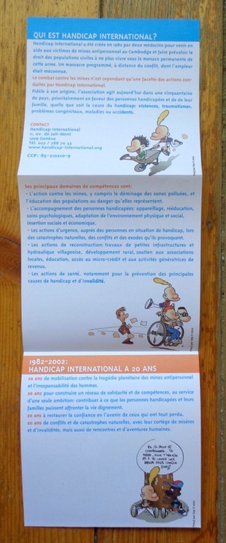
Faut pô laisser tomber. Titeuf, totem de nos 20 ans.
Handicap International, 2002 Dépliant édité par Handicap international, illustré par Zep. Tout beau tout neuf.
Referenz des Buchhändlers : 5476
|
|
|
Zep:
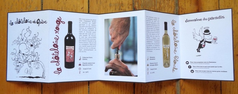
La Châtelaine de Genève.
Dépliant présentant le Domaine du Paradis, illustré par Zep et signé par lui au premier plat. Tout beau tout neuf.
Referenz des Buchhändlers : 5475
|
|
|
ZEYONS Serge
Le roman-photo de la Grande Guerre
Hier et Demain. 1976. In-4. Relié toilé. Bon état, Couv. convenable, Dos satisfaisant, Intérieur frais. 135p, illustré à chaque page de 330 cartes postales couleurs et noir et blanc dans le texte, relié toilé rose.. Avec Jaquette. . . Classification Dewey : 741.68-Illustrations des cartes postales
Referenz des Buchhändlers : RO20017066
|
|
|
ZEYONS Serge
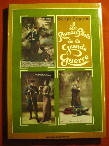
Le roman-photo de la Grande guerre.
Editions hier & demain, 1976. Grand album relié avec jaquette illustrée en couleurs, 135 pages avec d'innombrables reproductions de cartes postales anciennes sur la guerre de 1914-1918 (collection Henri Leblanc). Très bon état.
Referenz des Buchhändlers : 16850
|
|
|
Ziegenhirth, C
Die Welt in Karten: No. 9: Bayern. 16 farb. Spezialkarten mit Text und Namensverzeichnis des bayer. Gebietes.
Leipzig um 1924. Landkarte Faltmaß 18x12 cm.
Referenz des Buchhändlers : 5140
|
|
|
ZIEGLER, J.M. (Jakob Melchior 1801-1883)
Zur Hypsometrie der Schweiz und zur Orographie der Alpen. Erläuterungen für die hypsometrische Karte der Schweiz.
Winterthur, J. Wurster, 1866, in-8vo, VII + 1 S. (Inhaltsverz.) + 59 S. + 1 S. (Errata), Stempel auf Titelbl. S.A.C. Basel, ausgebunden, ohne Umschlag.
Referenz des Buchhändlers : 57191aaf
|
|
|
Zimmermann A. et G.:
Calendrier 1994 - Regards en coin.
Genève, Société d'Art public, 1993. Calendrier pour l'année 1994, composé de cartes postales détachables, photographies de bâtiments de coin de Genève. Tout beau tout neuf.
Referenz des Buchhändlers : 4458

|
|
|
Zimmermann A. et G.:
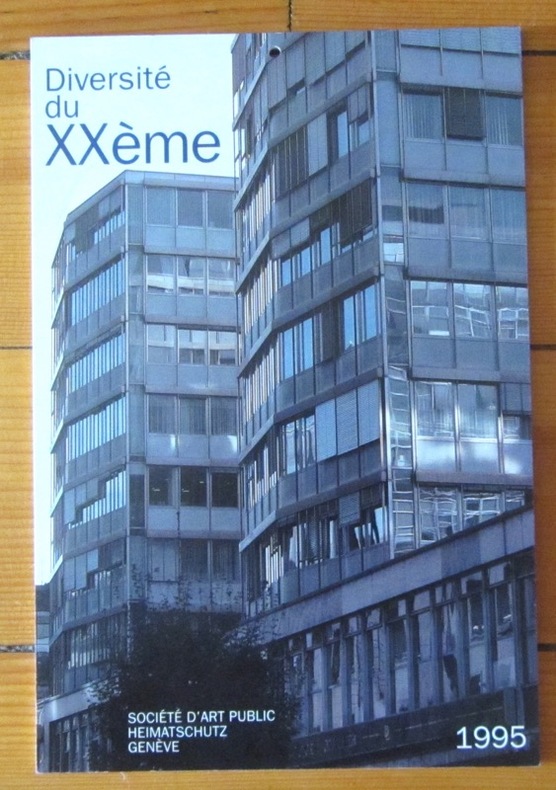
Calendrier 1995 - Diversité du XXe.
Genève, Société d'Art public, 1994. Calendrier pour l'année 1995, composé de cartes postales détachables, photographies architecturales de Genève. Tout beau tout neuf.
Referenz des Buchhändlers : 4459
|
|
|
Zimmermann A. et G.:
Calendrier 1998 - Ecoles (Genève).
Genève, Société d'Art public, 1994. Calendrier pour l'année 1998, composé de cartes postales détachables, photographies de bâtiments scolaires de Genève. Tout beau tout neuf.
Referenz des Buchhändlers : 4463

|
|
|
Zimmermann A. et G.:
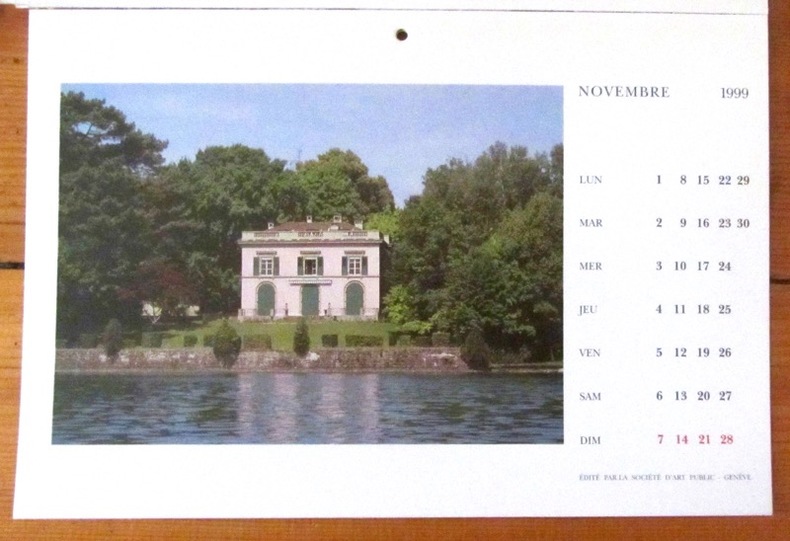
Calendrier 1999 - Au fil de l'eau.
Genève, Société d'Art public, 1994. Calendrier pour l'année 1999, composé de cartes postales détachables, photographies de bâtiments de Genève. Les feuillets sont volants, mais le calendrier est bien complet.
Referenz des Buchhändlers : 4461
|
|
|
Zimmermann A. et G.:
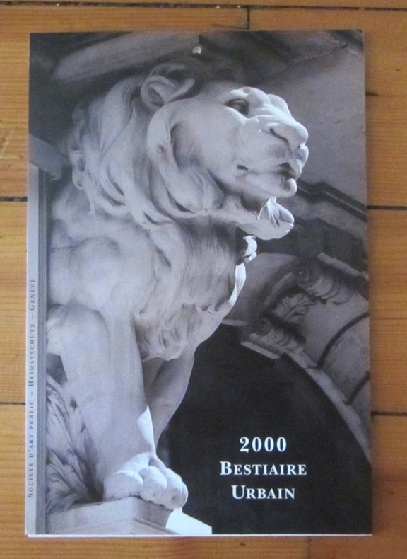
Calendrier 2000 - Bestiaire urbain.
Genève, Société d'Art public, 1994. Calendrier pour l'année 2000, composé de cartes postales détachables, photographies d'animaux sur les bâtiments de Genève. Démonté en 3 parties, mais bien complet et en bon état.
Referenz des Buchhändlers : 4462
|
|
|
Zimmermann A. et G.:
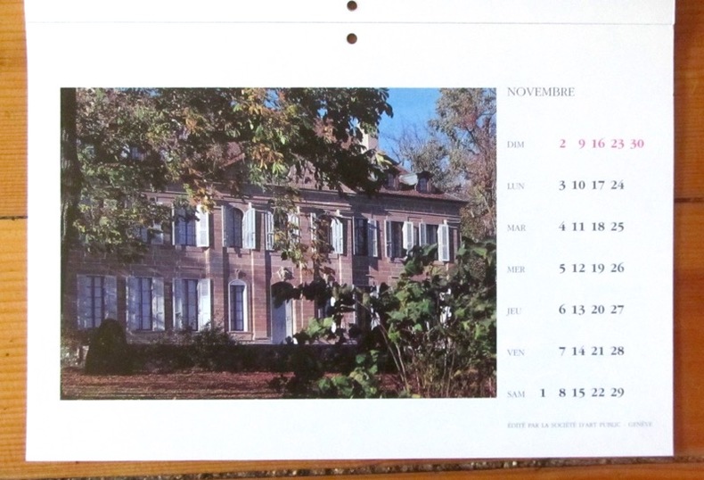
Vivre à la campagne.
Société d'Art public, Genève, 1996. Calendrier pour l'année 1997, composé de cartes postales détachables, photographies de la campagne genevoise. En bon état.
Referenz des Buchhändlers : 3344
|
|
|
ZOLA].
Gil Blas publie Au Bonheur des Dames, grand roman inédit par Emile Zola. Lithographie en couleurs (80 x 60 cm), sans nom d'artiste.
Paris Emile Lévy imprimeur, s.d. [1882] 1 vol. Broché Rare affiche annonçant la prépublication en feuilleton, entre décembre 1882 et mars 1883, du grand roman de Zola. "Cette affiche représente Denise Baudu, l'héroïne du Bonheur des dames, telle que Zola la décrit dans son roman : "Toutes [les vendeuses] avaient, entre deux boutonnières du corsage, comme piqué dans la poitrine un grand crayon qui se dressait, la pointe en l'air ; et l'on apercevait, sortant à demi d'une poche, la tache blanche du cahier de notes de débit". Cependant, les boucles d'oreille et la broche sont de trop car on peut lire au chapitre IX que "[Mouret] la regardait en souriant, dans sa robe de soie toute simple, sans un bijou". On peut expliquer cette inexactitude par le fait que le dessinateur ne disposait sans doute pas encore des derniers chapitres lorsqu'il composa cette affiche, Zola étant en retard sur son programme et le roman commençant à paraître sous forme de feuilleton avant d'être achevé." [Site pédagogique de la BnF]. Exemplaire entoilé, en parfaite condition.
Referenz des Buchhändlers : 117250

|
|
|
ZOLA].
Gil Blas publie Au Bonheur des Dames, grand roman inédit par Emile Zola. Lithographie en couleurs (80 x 60 cm), sans nom d'artiste.
Paris Emile Lévy imprimeur, s.d. [1882] 1 vol. Broché Rare affiche annonçant la prépublication en feuilleton, entre décembre 1882 et mars 1883, du grand roman de Zola. "Cette affiche représente Denise Baudu, l'héroïne du Bonheur des dames, telle que Zola la décrit dans son roman : "Toutes [les vendeuses] avaient, entre deux boutonnières du corsage, comme piqué dans la poitrine un grand crayon qui se dressait, la pointe en l'air ; et l'on apercevait, sortant à demi d'une poche, la tache blanche du cahier de notes de débit". Cependant, les boucles d'oreille et la broche sont de trop car on peut lire au chapitre IX que "[Mouret] la regardait en souriant, dans sa robe de soie toute simple, sans un bijou". On peut expliquer cette inexactitude par le fait que le dessinateur ne disposait sans doute pas encore des derniers chapitres lorsqu'il composa cette affiche, Zola étant en retard sur son programme et le roman commençant à paraître sous forme de feuilleton avant d'être achevé." [Site pédagogique de la BnF]. Exemplaire entoilé, en parfaite condition.
Referenz des Buchhändlers : 117250
|
|
|
Zorndorf:
Zorndorf. "Plan der Bataille welche von der Kayserl. Russischen und Königl. Preussischen Armee d. 25. Aug. 1758 bei Zorndorf ohnweit Cüstrin geliefert worden." Schlachtenplan von Zorndorf. Kupferstich mit farbigen Truppenaufstellungen aus "Neues Kriegs-Theater ...", No. 17.
Format: 18 x 29,5 cm. *Leicht gebräunt, insgesamt gut erhalten. Landkarten de
|
|
|
ZUCCAGNI ORLANDINI (Attilio);
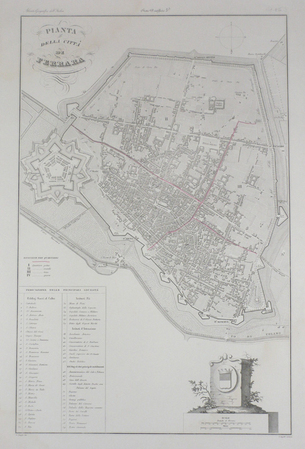
[FERRARA] Pianta della città di Ferrara.
circa 1850 525 x 340 mm.
Referenz des Buchhändlers : LBW03595
|
|
|
ZUCCAGNI ORLANDINI Attilio (Fiesole 1784 - Firenze 1872)
Pianta della Città di Roma
Pianta tratta dall’Atlante geografico degli Stati italiani delineato sopra le migliori e più moderne mappe per servire di corredo alla corografia fisica storica e statistica dell'Italia, di Attilio Zuccagni Orlandini stampato a Firenze, presso gli editori, 1844. In 2° massimo, 2 voll. Il primo volume contenente le carte dell’Italia Superiore in 52 fogli, il secondo volume quelle dell’Italia Inferiore in 77 fogli. Attilio Zuccagni Orlandini (1784-1872) nacque a Fiesole con il nome di Giuseppe Orlandini. In seguito all’adozione da parte del facoltoso zio materno Attilio Zuccagni (1754-1807), botanico e georgofilo, assunse il nome di Attilio Zuccagni Orlandini. La sua più importante opera è la relazione geografico-cartografica di tutti gli Stati preunitari italiani, la grandiosa Corografia fisica, storica e statistica dell’Italia e delle sue Isole (Firenze 1835-1845), in dodici volumi per diciannove tomi, con un volume introduttivo sull’intera penisola italiana. L’opera costituì la summa delle centinaia di opere geografiche generali, regionali e locali allora disponibili e presentava, per ogni Stato preunitario, la trattazione fisica, storica, topografica e un inquadramento statistico. Nel 1844-45, la Corografia fu arricchita con cinque volumi di cartografie, vedute e altre illustrazioni di luoghi e monumenti: Atlante geografico degli Stati italiani delineato sopra le migliori e più moderne mappe (due volumi con 144 tavole inclusa la grande carta della penisola in 15 fogli) e Atlante illustrativo ossia raccolta dei principali monumenti italiani antichi, del medio evo e moderni e di alcune vedute pittoriche (tre volumi con 413 illustrazioni, stampate su 269 fogli). Le tavole furono incise, sempre a Firenze, in due apposite officine, da quattro valenti artisti lombardi (Vittorio Angeli, Giacinto Maina, Pietro Manzoni e Giuseppe Pozzi). Soprattutto il primo dei due atlanti rappresenta, ancora oggi, una pietra miliare nella storia della cartografia e dell’iconografia geografica italiana. Fu veramente ‘un’ardua impresa’, dal momento che spesso mancavano ancora (come, ad esempio, per il Ducato di Lucca e lo Stato Pontificio) prodotti cartografici compiutamente geometrici. I due prodotti furono presentati ai Georgofili nel 1843 e nel 1844, insieme alla mappa della Repubblica di San Marino. L’opera si rivelò oltremodo costosa e non ottenne il successo commerciale sperato, ma servì da base per tante altre iniziative editoriali successive che vi attinsero, talora senza neppure rispettarne i diritti d’autore. Incisione in rame, coloritura coeva dei contorni, lievi ossidazioni, per il resto in ottimo stato di conservazione. Bibliografia Cfr. Anna Guarducci - Dizionario Biografico degli Italiani - Volume 100 (2020). Plan taken from the Atlante geografico degli Stati italiani delineato sopra le migliori e più moderne mappe per servire di corredo alla corografia fisica storica e statistica dell'Italia, di Attilio Zuccagni Orlandini printed in Florence, 1844. The first volume contains the maps of Northern Italy in 52 sheets, the second volume those of Southern Italy in 77 sheets. Attilio Zuccagni Orlandini (1784-1872) was born in Fiesole under the name of Giuseppe Orlandini. Following adoption by his wealthy maternal uncle Attilio Zuccagni (1754-1807), a botanist and georgofile, he took the name Attilio Zuccagni Orlandini. His most important work is the geographic-cartographic report of all the pre-unification Italian states, the great Corografia fisica, storica e statistica dell'Italia e delle sue Isole (Florence 1835-1845), in twelve volumes for nineteen tomes, with an introductory volume on the entire Italian peninsula. The work constituted the sum of hundreds of general, regional and local geographic works then available and presented, for each pre-unification state, the physical, historical, topographical and statistical framework. In 1844-45, the Corografia was enriched with five volumes of maps, views and other illustrations of places and monuments: Atlante geografico degli Stati italiani delineato sopra le migliori e più moderne mappe (two volumes with 144 plates including the large map of the peninsula in 15 sheets) and Atlante illustrativo ossia raccolta dei principali monumenti italiani antichi, del medio evo e moderni e di alcune vedute pittoriche (three volumes with 413 illustrations, printed on 269 sheets). The plates were engraved, again in Florence, in two special workshops, by four talented Lombard artists (Vittorio Angeli, Giacinto Maina, Pietro Manzoni and Giuseppe Pozzi). Especially the first of the two atlases represents, even today, a milestone in the history of cartography and Italian geographic iconography. It was truly 'an arduous undertaking', since cartographic products were often still lacking (as, for example, for the Duchy of Lucca and the Papal States) fully geometric. The two products were presented to the Georgofili in 1843 and 1844, along with the map of the Republic of San Marino. The work proved to be very expensive and did not achieve the commercial success hoped for, but served as a basis for many other subsequent publishing initiatives that drew on it, sometimes without even respecting the copyright. Copperplate with fine outline colour, good condition. Literature Anna Guarducci - Dizionario Biografico degli Italiani - Volume 100 (2020).

|
|
|
Zucoli
Veduta della Chiesa di S. Marco a Venezia.
Milano, nel Negozio di Stampe sotto il Coperto de Figini N. 4074, (um 1820). Altkolorierte Aquatina von A. Angeli. Bildgrösse: 15 x 20,5 cm. Blattgrösse: 18,2 x 24,3 cm. + Wichtig: Für unsere Kunden in der EU erfolgt der Versand alle 14 Tage verzollt ab Deutschland / Postbank-Konto in Deutschland vorhanden +, Bild
Referenz des Buchhändlers : 772CG

|
|
|
Zucoli
Veduta della Chiesa di S.ta Maria della Salute in Venezia.
Milano, nel Negozio di Stampe Soperto de Figini al No. 4074., (um 1820). Altkolorierte Aquatina von Landini. Bildgrösse: 15,3 x 21 cm. Blattgrösse: 18,4 x 24,5 cm. + Wichtig: Für unsere Kunden in der EU erfolgt der Versand alle 14 Tage verzollt ab Deutschland / Postbank-Konto in Deutschland vorhanden +, Bild
Referenz des Buchhändlers : 770CG

|
|
|

 Per e-mail erhalten
 Als pdf-Dokument herunterladen
 RSS feed
 Permanenter link


