|
HERNANDO RICA, Agustín.
La imagen de un país. Juan Bautista Labaña y su Mapa de Aragón (1610-1620).
Zaragoza, IFC, 1996. Folio; 158 pp., impresas a doble columna y 69 reproducciones de mapas. Cubiertas originales.

|
|
|
HERNÁNDEZ MILLARES, Jorge.
Atlas del Viejo Mundo.
México, Fondo de Cultura Económica, 1964. 4to. menor; 58 pp. y 42 mapas aparte. Enc. original en tela.

|
|
|
HERODOTUS; CARY, HENRY (trans) & SCARE, CHRIS (ed) & GEELAN, P J M (maps)
Herodotus: The Histories
The Folio Society 1992. Imp 8vo illus cl bds gilt lettering & ornament to leather spine upper pg edge stained red illus map eps frontispiece xxi 632 pp. plates counted all present VG light soiling/rubbing to spine light rubbing to bords & extrems minor foxing to pg edges in slipcase with gilt ornament to front and back cover VG light chaffing to covers & spine light brusing to exrems & front cover The Folio Society 1992 hardcover
Riferimento per il libraio : 323822
|
|
|
Herrera, Ovidio-Cesar Paredes
New Guide To The Prado Gallery
No marks or inscriptions. A very clean very tight copy with bright unmarked boards and no bumping to corners. Dust jacket not price clipped or torn or creased with small marks to upper edges. Two fold-out gallery plans in excellent condition. 173pp. Comprehensive guide to the paintings in the Prado Galley in Madrid. Well illustrated.
|
|
|
Herrliberger, David
Weiningen.
1743. Kupferstich. Bildausschnitt: 20 x 28 cm. Rahmen: 33,5 x 42 cm. + Wichtig: Für unsere Kunden in der EU erfolgt der Versand alle 14 Tage verzollt ab Deutschland / Postbank-Konto in Deutschland vorhanden +, Abb.
Riferimento per il libraio : 605BG

|
|
|
Herrliberger, David
Weiningen.
1741. Kupferstich. Bildausschnitt: 119 x 28,5 cm. Rahmen: 34,5 x 44 cm. + Wichtig: Für unsere Kunden in der EU erfolgt der Versand alle 14 Tage verzollt ab Deutschland / Postbank-Konto in Deutschland vorhanden +, Abb.
Riferimento per il libraio : 604BG

|
|
|
Herrmann, Hugo [Hermann]
Palästinakunde: Ein Hand und Nachschlagebuch. Ein Leitfaden für Vortragende und Kurse sowie für den Unterricht. Mit vielen Karten, Diagrammen und Tabellen. Zweite Auflage.
23x16cm. VIII+566 pages. Hardcover. Cover stained. Cover corners bumped. Pages yellowing. Else in good condition
|
|
|
Herzogthum Steyermark:
Politische Eintheilung. Kupferstichkarte.
31,5 x 37,5 cm (Blattgröße 40 x 50 cm). *Blatt mit Numererierung "12". Vermutlich aus einem großformatigen Österr. Schulatlas zu Anfang des 19. Jahrhunderts. Die Karte zeigt die Steyermark in ihren poitischen Grenzen mit Grenzkolorit. - Mittelfalz, geringe Randbräunung. Landkarten de
|
|
|
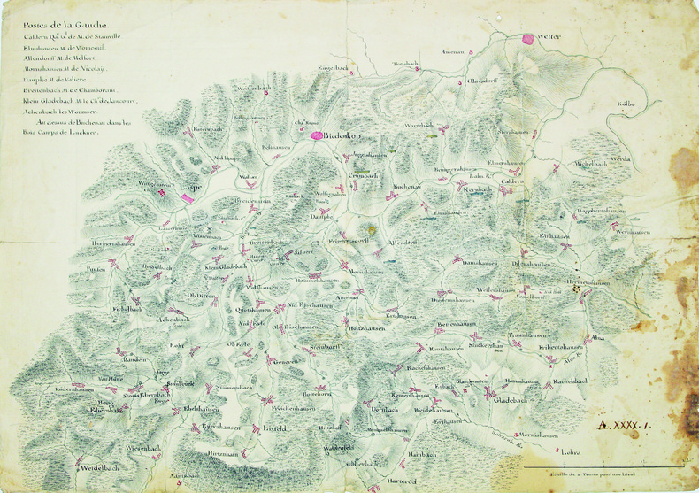
HESSE. MANUSCRIT.
[Carte de la région du cours supérieur de la Lahn].
1760-1762. 333 x 470 mm.
Riferimento per il libraio : LBW-4202
|
|
|
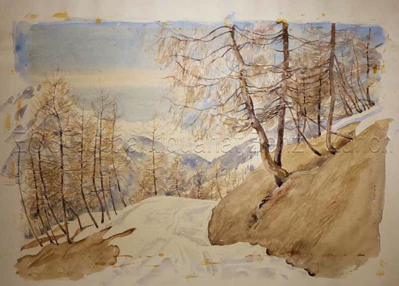
Hess: Schweizer Künstler
Lenzerheide.
um 1950. Aquarell auf festem Papier. Blattgrösse: 36 x 50 cm.
Riferimento per il libraio : 633DG
|
|
|
Hess, Nancy; photographs and Maps [Illustrator]
The Heartland "Rockingham County
s.n. 1976-01-01. Hardcover. New. In shrink wrap. Looks like an interesting title! s.n.] hardcover
Riferimento per il libraio : Q-0878132252 ISBN : 0878132252 9780878132256
|
|
|
Hess: Schweizer Künstler
Lenzerheide.
um 1950. Aquarell auf festem Papier. Blattgrösse: 36 x 50 cm. + Wichtig: Für unsere Kunden in der EU erfolgt der Versand alle 14 Tage verzollt ab Deutschland / Postbank-Konto in Deutschland vorhanden +, bild
Riferimento per il libraio : 633DG

|
|
|
Heubner, Hermann (1843-1915):
Die Berner Alpen.
O.O,. O.J. (um 1880). Farbige Lithographie auf Papier, auf Leinen aufgezogen. Bildformat: 65 x 171 cm.
Riferimento per il libraio : 141DG
|
|
|
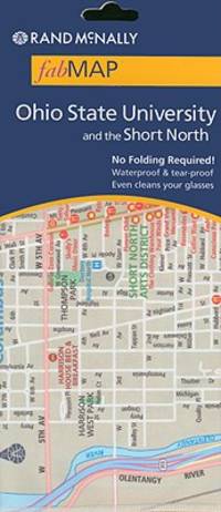
Heyerdahl, Thor
Kon-Tiki: A Special Rand McNally Edition for Young People
Sturtevant Wisconsin U.S.A.: Rand McNally 1975. First Thus . Soft cover. Fine. 4to - over 9¾" - 12" tall. Very large sturdy softcover heavy glossy textured wrappers with color-illustration of raft upon the seas on front and back wrappers 165 heavy pages profusely illustrated color-illustrations of big fish inside front wrapper and adjacent end paper color maps with routes inside back wrappers and adjacent end paper. Price near top front tip inked out. Near Very Fine. <br/> <br/> Rand McNally paperback
Riferimento per il libraio : 39790 ISBN : 0528871757 9780528871757
|
|
|
Heß, J. L. [Jonas Ludwig] von
Topographisch-politisch-historische Beschreibung der Stadt Hamburg. THEILE 1 u. 2 (von 3) in 2 Bdn.
Hamburg, bey Bachmann u. Gundermann / auf Kosten des Verf., in Comm. bei B. G. Hoffmann, 1796/1789/1811. BAND 1 mit 1 Titelkupfer, 1 gestoch. Flutenmesser, 3 gefaltete Grundrisse (Zuchthaus, Waisenhaus (mit Ansicht) und Pesthof) u. 1 gestoch., mehrfach gefalt. Plan der Kayserlichen Freyen Reichsstadt Hamburg (v. W. Tringham nach J. F. Reinke). // BAND 2 mit 1 Titelkupfer, 1 teilkolor. Faltkarte vom Hamburg. Gebiet, 1 gestoch. Trachtentaf. (von W. Tringham) u. 1 gefalt. gestoch. Karte vom Amt Ritzebüttel (von Pingeling nach J. F. Reinke). 18 cm. Neue marmor. Pp. m. altem Rschild (Bd. 1) bzw. HLdr d. Zeit m. goldgepr. Titel- sowie Bandschild (Bd. 2).
Riferimento per il libraio : 89498

|
|
|
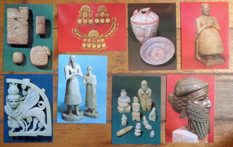
Hildebrand Gabriel (phot.):
[Musée d'Histoire de Stockholm].
Stockholm, Medelhavsmuseet - Historiska museet. 8 cartes postales, à l'état de neuf (mis à part un microscopique pli à un coin) présentant des objets présentés au musée (poteries préhistoriques - coiffure, époque ottomane - tablettes, époque sumérienne et assyrienne,...)
Riferimento per il libraio : 8163
|
|
|
Hill, Gillian & Tyacke, Sarah
Cartographical Curiosities
No marks or inscriptions. Tiny crease to upper corner of rear cover, none to front. A lovely clean very tight copy with bright unmarked boards and no bumping to corners. 63pp. A survey of some of the more unusual maps in the British Library, whether based on genuine geographical misconceptions or the deliberate whimsy of cartographers.

|
|
|
HILLIARD, J.N.
La Prestidigitation du XXe siècle. Tours de cartes modernes. Cartes, éventails, toutes les manipulations et passes modernes, faux mélanges, sauts de coupe, forçages, etc., toutes les subtilités modernes supprimant les passes, tours anciens modernisés, tou
in-8, 573 pp., figures dans le texte, broche, couv. ill. Etat tres moyen [NV-37] Manuscrit et notes publies par Carl W. Jones et Jean Hugard.
|
|
|
HINZELIN Emile Cartes et panoramas dépliants.
1914. Histoire illustrée de la guerre du droit. (En 3 volumes).
Couverture rigide. Reliure de l'éditeur. 1200 pages. Rousseurs. 21 x 28 cm.
Riferimento per il libraio : 116839

|
|
|
Hinde, W. Squire, J. Marshall, Thomas Cooke M.
To face Globe
Tavola astronomica tratta dall’A New Royal and Universal Dictionary of Arts and Sciences, London 1770-1771, Printed of J. Cooke Si tratta di un’opera in due grandi volumi, cm 35,5 x 23,5, rispettivamente pubblicati a Londra nel 1770 e nel 1771, che raccoglie in ordine alfabetico alcune centinaia di voci illustranti sia le conoscenze scientifiche e tecnologiche che lo sviluppo delle arti e dei mestieri dell’epoca. Le singole voci, scritte dai più autorevoli esperti europei, sono state poi riviste e redazionate da M. Hinde per il settore relativo all’anatomia, medicina e chimica, da W. Squire per le matematiche, da T. Marshall per la Botanica e da Thomas Cooke per le materie umanistiche. Centouno tavole prodotte da relative incisioni su rame illustrano i due volumi. Le incisioni, equamente ripartite sui vari saperi, riproducono sia soggetti della natura che i più aggiornati strumenti usati per indagarla. Una considerevole parte riguarda invece gli strumenti di lavoro delle varie arti e mestieri. L’opera è giunta a noi in pochissimi esemplari, se ne conoscono soltanto ventitré copie, in quanto le piastre in rame furono in un primo momento confiscate, prima della stampa, dalla Court of Chancery of London in conseguenza del fallimento dell’editore di Bevis, Johan Neale. Le ventitré copie conosciute fanno parte di una tiratura prodotta successivamente nel 1786 da John Horsfall, l’esecutore testamentario di Bevis, con il titolo di Atlas Celeste. Per il momento è ancora da ricostruire la storia di come le dodici tavole contenute nell’A New Royal and Universal Dictionary of Arts and Sciences abbiano potuto anticipare di circa quindici anni la diffusione degli originali che imitano. L’enciclopedia, oggi abbastanza rara e quasi non indagata dalla critica, subì l’influsso della più conosciuta e più antica Cyclopaedia: Or An Universal Dictionary of Arts and Sciences di Ephraim Chambers (ca. 1680-1740), pubblicata in Inghilterra nel 1728 (cfr. Felice Stoppa, Atlas Coelestis, http://www.atlascoelestis.com/Universal%20dictionary%20pagina.htm). Incisione in rame, finemente colorata a mano, in ottimo stato di conservazione. Astronomical plate taken from A New Royal and Universal Dictionary of Arts and Sciences, London 1770-1771, Printed of J. Cooke This is a work in two large volumes, 35.5 x 23.5 cm, respectively published in London in 1770 and 1771, which collects in alphabetical order a few hundred entries illustrating both scientific and technological knowledge and the development of arts and crafts of the time. The single entries, written by the most authoritative European experts, were then revised and edited by M. Hinde for the field related to anatomy, medicine and chemistry, by W. Squire for mathematics, by T. Marshall for Botany and by Thomas Cooke for the humanities. One hundred and one plates produced by relative copper engravings illustrate the two volumes. The engravings, equally divided among the various fields of knowledge, reproduce both natural subjects and the most up-to-date instruments used to investigate them. A considerable part concerns instead the working tools of the various arts and crafts. The work has come down to us in very few copies, only twenty-three copies are known, because the copper plates were initially confiscated, before printing, by the Court of Chancery of London as a result of the bankruptcy of the publisher of Bevis, Johan Neale. The twenty-three known copies are part of a print run produced later in 1786 by John Horsfall, the executor of Bevis' will, under the title of Atlas Celeste. For the moment, the story of how the twelve plates contained in A New Royal and Universal Dictionary of Arts and Sciences were able to anticipate by about fifteen years the diffusion of the originals they imitate is still to be reconstructed. The encyclopedia, now quite rare and almost unexamined by critics, was influenced by the better known and older Cyclopaedia: Or An Universal Dictionary of Arts and Sciences by Ephraim Chambers (ca. 1680-1740), published in England in 1728 (see Felice Stoppa, Atlas Coelestis, http://www.atlascoelestis.com/Universal%20dictionary%20pagina.htm).

|
|
|
Hinz, Earl
Complete Book of Anchoring and Mooring, The
Book is in excellent condition, appears unread. Binding is solid and square, covers have sharp corners, exterior shows no blemishes, text/interior is clean and free of marking of any kind. Dust jacket shows the slightest signs of shelf wear, some edge wear, two tears < 1". 309 pages, heavily illustrated with charts, diagrams, maps, tables, b&w photos. Contents include: loads at anchor, Deck gear for anchors, Anchor winlass Anchor rodes, Anchor options, Anchor and rode selection, Human factors in anchoring, Techinque of anchoring, Anchoring tricks, ( ways to stop anchor dragging, Setting tandem anchors, Rowing out and anchor, Kedging, the buoyed-anchor rode, Stern anchoring, Side bridle, Use of a drougue in a current, etc. ) Rights and responsibilities, Storm anchoring, Permanent moorings, etc. Copyright 2011 Pistil Books

|
|
|
Hirsch, Morris W
Differential Topology.
New York / Berlin, Springer (Graduate Texts in Mathematics / GTM 33), 1997. X, 222 S. (24 cm) Pappband / gebundene Ausgabe
Riferimento per il libraio : 73218
|
|
|
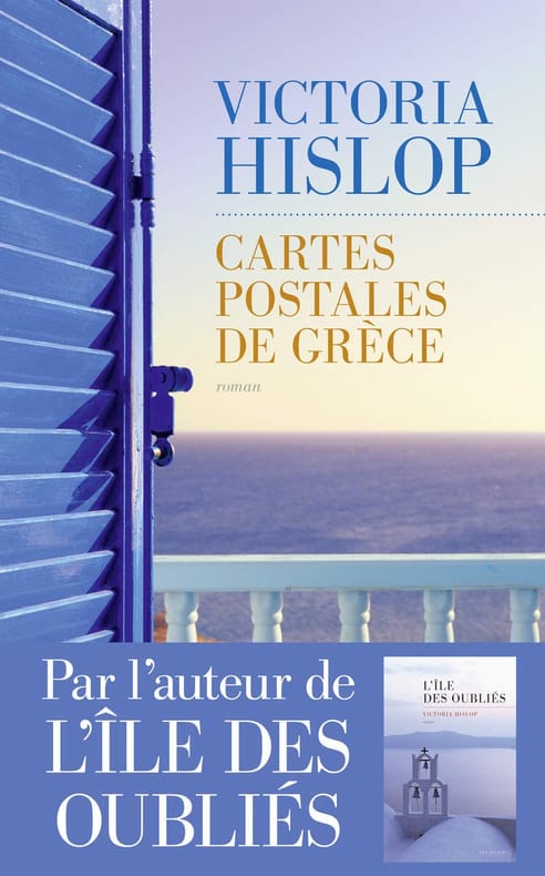
Hislop Victoria Delarbre Alice Kakolyris Alexandros
Cartes postales de Grèce
LES ESCALES 2017 433 pages 14 2x22 3x3 9cm. 2017. Broché. 433 pages.
Riferimento per il libraio : 500034596
|
|
|
Historical Maps
View of San Francisco
Ithaca: Historical Maps 1968. 60x84 cm. Color poster. Very Good. In plastic.Item in plastic sleeve new photos of item can be sent to customer upon request. Ithaca: Historical Maps, 1968 unknown
Riferimento per il libraio : 73-3802
|
|
|
HITTI, Philip K.
History of the Arabs
1974 - broché - St. Martin's Press, New York - Dixième édition - 1974 - Fort in-8 (21,5 x 14,5 cm) broché - 822 pages - Iconographie en noir et blanc - Ouvrage sous titré : From the earliest times to the present - Texte en anglais
Riferimento per il libraio : 1026

|
|
|
Hobbs, J. S.
Maps and Regions : An Introductory Course Volume One
Ex-library copy with usual marks and stamps. No creasing to covers or to spine. A very clean very tight copy with bright unmarked boards, front end paper missing and no bumping to corners. 143pp. An introduction to maps and regions.

|
|
|
HOCHMAN (Gene)
Encyclopedia of American Playing Cards. Part I. (un volume). Supplement to part I. (un volume). Part II. Featuring transformation cards and insert cards. (un volume). Part III. Featuring advertising, new suit signs, oddities, no revoke cards, teaching cards, novelties, college cards, union cards, fortune telling, tarots, price guide. (un volume). Part IV. Featuring standard cards through the years. (un volume). Part V. Complete index. (un volume). Part VI. Congratulations to the U.S. Playing Card Co. on their Centennial Year 1881-1981. (un volume).
chez l'auteur, 1976-1977-1979-1980-1982 0 7 volumes in-4°, (1) 55 ff., (10) ff., (2) 67 ff., (2) 74 ff., (2) 94 ff., 33 pp. et 42 pp., couvertures illustrées, dos collé pour 4 tomes, dos agrafé pour 3 tomes. (coupures en bordure de la couverture au tome I, deux couvertures décolorées). Nombreuses illustrations en noir & blanc dans le texte. Signature de l'auteur sur le tome VI. Exemplaire ronéoté. Ouvrage de référence sur les cartes à jouer. Rare complet.
Riferimento per il libraio : 023809
|
|
|
Hochstrasser, Monique
The Art of the Regent
102 pages. A sumptuously presented selection of the art collection displayed in The Regent in Hong Kong. This is a collection carefully acquired not only for its aesthetic beauty but also for the elements of oriental symbolism that are represented. Includes fine examples of skilfully executed screens, lacquerware and embroidery. There are specimens of Chinese export wallpaper, and several nineteenth-century China Trade oil paintings. These became popular as artistic records of the cultural and trading contacts of their period and are now collector's items. The selection of maps traces the pattern of adventure and romantic trade and travel over the centuries. Finally, a group of contemporary works pleasantly relate the collection to modern artistic trends. All illustrations in vivid colour photography. Attractive maroon cloth boards bear imprint of Chinese characters upon front board and gilt roman lettering upon spine. Illustrated slipcase shows light edgewear and several nicks. Book and slipcase bear the aroma of moth balls. Book
|
|
|
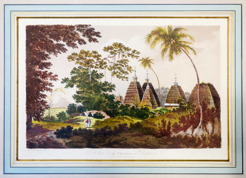
HODGES (William).
A View of the pagodas at Deogur.
1787. 313 x 453 mm, sous passe-partout.
Riferimento per il libraio : LBW-4002
|
|
|
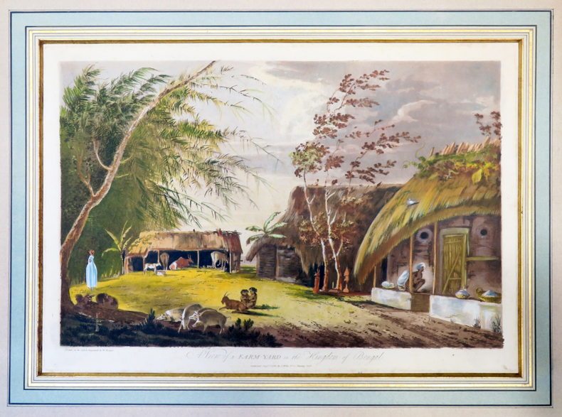
HODGES (William).
A View of a farm-yard in the kingdom of Bengal.
1787. 312 x 452 mm, sous passe-partout.
Riferimento per il libraio : LBW-4003
|
|
|
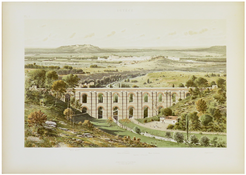
HOFFBAUER (Fédor).
La Cité entre le Pont Notre-Dame et le Pont au Change (1621).
Paris, Firmin-Didot et Cie, [1875-1882]. 237 x 300 mm.
Riferimento per il libraio : LBW-5818

|
|
|
HOFFBAUER (Fédor).
Lutèce.
Paris, Firmin-Didot et Cie, [1875-1882]. 284 x 369 mm.
Riferimento per il libraio : LBW-5821
|
|
|
Hoffman, Ludmila W.
Old Scapes, New Maps - A Training Program for Psychotherapy Supervisors
223 pages including two indeces. Author continues the pursuit of her long standing interest in the education and training of professional psychologists. A valuable resource for instructors of graduate programs in Psychology, Social Work, Psychiatric Nursing, Psychiatry and Counseling. Clean, crisp and unmarked with negligible wear. Excellent copy. Book
|
|
|
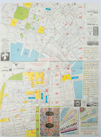
HOFFMAN, WALTER K (CARTOGRAPHER).
A-O-A Map Sheet: Orientation Mini-maps.
Hong Kong.: A-O-A Ltd. June/July1977. Coloured tourist maps of Hong Kong printed both sides on a sheet folded. One general area map of Hong Kong and three detailed street maps featuring Kowloon Peninsula Tsimshatsui and Central District. Generally in very good condition text in traditional Chinese English and Japanese. Sheet measures 58.2 x 43cm. The tourist maps include currency rate tourist advice advertisements for foreign and local brands and shops e.g. A-O-A Gambling Handbook for Macau Duty Free shopping centres Chinese Arts & Crafts centres acupuncture clinic etc. The maps of Central and TST have the names of many hotels businesses post offices etc marked on them. . A-O-A Ltd. unknown
Riferimento per il libraio : 161880
|
|
|
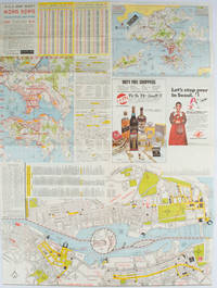
HOFFMAN, WALTER K (CARTOGRAPHER).
A-O-A Map Sheet: Orientation Mini-maps.
Hong Kong.: Walter K. Hoffman. January/February1976. Coloured tourist map brochure of maps of Hong Kong printed both sides six maps in total folded. Brochure also includes advertisements currency rates. Minor tears along folds otherwise in good condition. Text in traditional Chinese English and Japanese. Sheet measures 58.2 x 43.4cm. Sheet includes 6 individual maps: Map of British Crown Colony of Hong Kong Map of the Urban Area with routes for public transportation Map of Tsimshatsui large scale street map Map of Central District large scale street map Map of Wanchai large scale street map Map of Causeway Bay large scale street map Map of Portuguese Overseas Province of Macau. On the maps of Central and TST the names of many businesses hotels etc are marked. . Walter K. Hoffman. unknown
Riferimento per il libraio : 161881
|
|
|
Hoffmann, Georg
2 Panoramen des Maderaner-Thales im Kanton Uri. Dazu ein Führer in die Gebirge des Maderaner-Thales. Verfasst von einigen Mitgliedern der Basler Section des schweizerischen Alpenclubs.
Basel, Felix Schneider, 1865. Textheft 54 S. u. 2 lithogr. Panoramen. 43 x 129 cm. + Wichtig: Für unsere Kunden in der EU erfolgt der Versand alle 14 Tage verzollt ab Deutschland / Postbank-Konto in Deutschland vorhanden +
Riferimento per il libraio : 234BG
|
|
|
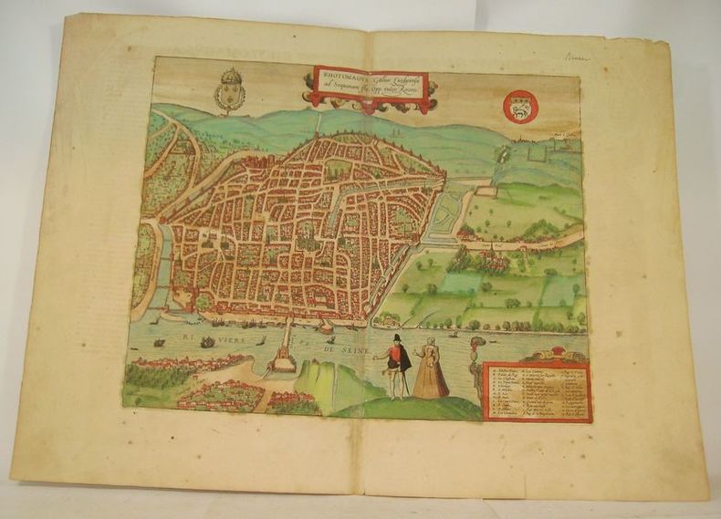
HOGENBERG (Franz).
RHOTOMAGUS Galliae Lugdunensis ad Sequanam Flu. Opp. vulgo Rouen.
Cologne, circa 1590. Gravure à belles marges (40 x 54 cm), rehaussée en couleurs avec texte en latin au dos.
Riferimento per il libraio : 16633
|
|
|
Hogg, Garry & Haigh, Molly (Illus) Tony (Add Sketches & Maps)
Explorers on the Wall
London: Nelson. Very Good in Good dust jacket. 1948. Second Printing. Hardcover. A scarce title in the Explorers Awheel Series with an extremely scarce dustwrapper. The book is in green cloth boards with white lettering to spine. Maps to endpapers. A prize presentation inscription on blank endpaper ; The Explorers; 8vo 8" - 9" tall . Nelson, hardcover
Riferimento per il libraio : 100515

|
|
|
Hohkirchen:
Hohkirchen. "Plan der Bataille, welche d. 14.October 1758 von der Kayserl. Königl. Ungarischen und Kön. Preussischen Armee bei Hohkirchen ohnweit Bauzen geliefert worden." Schlachtenplan von Hohkirchen. Kupferstich mit farbigen Truppenaufstellungen, Legende rechts. der Abbildung aus "Neues Kriegs-Theater", No. 20.
Format: 18 x 29,5 cm. *Leicht gebräunt, insgesamt gut erhalten. Landkarten de
|
|
|
HOLLIER (Antoine Grégoire).
[CRIMÉE/MER d'AZOV] Vue générale de la mer d'Azoff & du détroit de Kertch.
Paris, Hollier, [circa 1856]. 236 x 282 mm.
Riferimento per il libraio : LBW-6517

|
|
|
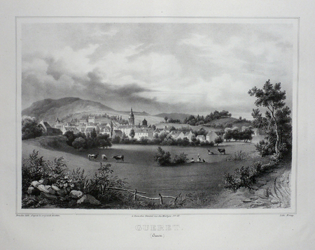
HOLSTEIN;
GUERET (Creuse).
Paris Benard circa 1850 226 x 287 mm.
Riferimento per il libraio : LBW03d65
|
|
|
HOLSTEN - MERCATOR, G. / HONDIUS.
Holsatia ducatus. Per Gerardum Mercatorum privilegio.
(Amsterdam ca. 1607). 35,3x48 cm. Kobberstukket kort over Holsten. Ukoloreret. Velbevaret. På bagsiden latisnk tekst (pp.89-90) Daniae III Tabula, In qua Slesvicensis Ducatus, & Holsatia.
Riferimento per il libraio : 25258
|
|
|
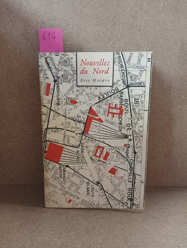
HOLDER, Eric
Nouvelles du Nord
1984 - broché - Editions Le Dilettante - 1984 - In-12 (18 x 12 cm) broché avec agrafes, couverture à rabats - 23 pages - Avec une carte volante (plan Taride) du Xe arrondissement, possiblement signée par Eric Holder - Plaquette tirée à 333 exemplaires, sans justificatifs de tirage
Riferimento per il libraio : 614
|
|
|
Holstein
[Karte von] Herzogth. Holstein und Lauenburg, Fürstenth. Lübeck, Fr. Städte Hamburg und Lübeck nebst Amt Bergedorf. Grenzkolorierter Stahlstich, gestoch. von K. Fuchs.
Hildburghausen, Bibliographisches Institut, [ca. 1865]. Bildgröße: 31 x 38 cm. Im Mahagonirahmen, unter Mattglas (38,5 x 47 cm).
Riferimento per il libraio : 97900

|
|
|
HOLSTEN - MERCATOR, G. / HONDIUS.
Holsatia ducatus. Per Gerardum Mercatorum privilegio.
(Amsterdam ca. 1607). 35,3x48 cm. Kobberstukket kort over Holsten. Ukoloreret. Velbevaret. På bagsiden latisnk tekst (pp.89-90) Daniae III Tabula, In qua Slesvicensis Ducatus, & Holsatia.
|
|
|
Holzer - Reilly, Franz Johann Joseph von
Special-Karte von dem Oestreichischen u. Osmanischen Koenigreiche Kroatien. Teilkolorierte Kupferstichkarte (No. 2) aus "Schauplatz der fünf Theile der Welt".
Wien, Reilly, ca. 1789. 22 x 29 cm (Blattgröße 24 x 32 cm).
Riferimento per il libraio : 110616

|
|
|
Holzman, Jacquelin; McQuarrie, John; Tosh, Rosalind
Ottawa, Then and Now
No marks or inscriptions. A lovely clean very tight copy with bright unmarked boards and no bumping to corners. Dust jacket not price clipped or marked or torn with slight creasing to edges and traces of storage. 208pp. Ottawa from her birth to the present day in very well captioned photographs. Scarce in the UK.

|
|
|
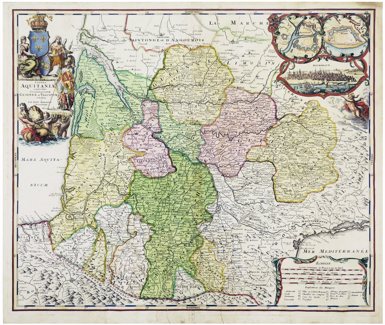
HOMANN (Johann Baptist).
[AQUITAINE] Tabula Aquitaniæ complectens gubernationem Guiennæ et Vasconiæ exhibita.
Nuremberg, [circa 1720]. 478 x 570 mm.
Riferimento per il libraio : LBW-6109
|
|
|
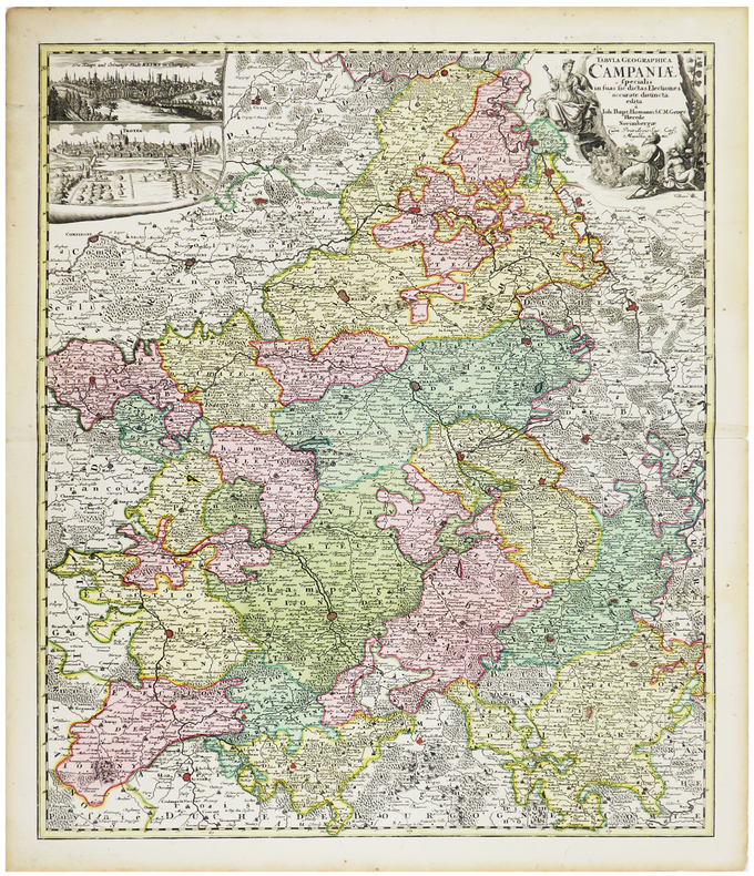
HOMANN (Johann Baptist).
[CHAMPAGNE] Tabula geographica specialis in suas sic dictas electiones accurate distincta edita.
Nuremberg, [circa 1720]. 574 x 488 mm.
Riferimento per il libraio : LBW-6259
|
|
|
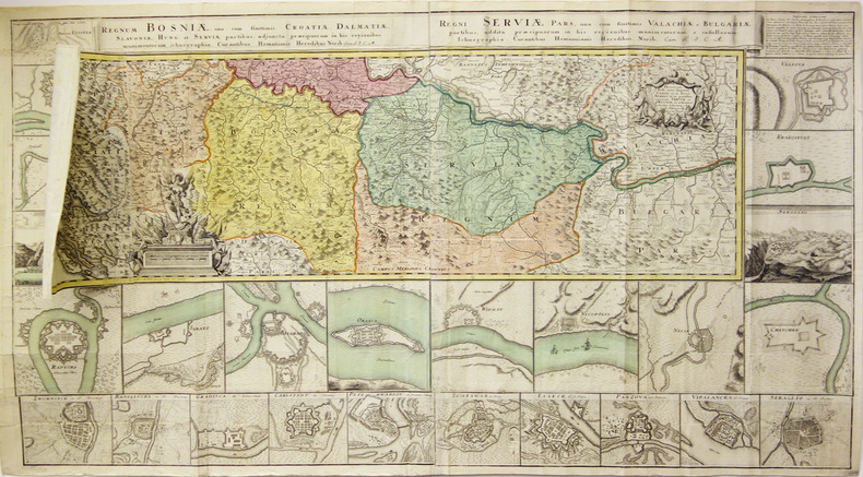
HOMANN (Héritiers de);
[CROATIE/BOSNIE/SERBIE] Regnum Bosniae, una cum finitimis Croatiae, Dalmatiae, Slavoniae, Hung. et Serviae partibus - Regni Serviae pars, una cum finitimis Valachiae & Bulgariae.
Nuremberg vers 1740 En 4 feuilles jointes de 605 mm x 1,11 m, dont une partie mobile de 310 x 185 mm.
Riferimento per il libraio : LBW-1799
|
|

 Ricevere i risultati per e-mail
 Scaricare i risultati in PDF
 RSS feed
 Link
Link


