|
KREISEL, W. (Willi):
Historische Kupferstichkarten in Schraffenmanier. SA a.d. Schweizer Betr. zur Buchkunde.
Neuchatel, Imprimerie Paul Attinger,, 1939, gr. in-8vo, 16 S. Text + 9 Tafeln mit 18 Abbildungen + (Beigelgt: hs. Dankes-Karte v. Autor), illustrierte Original-Broschüre + Schuber.
书商的参考编号 : 130489aaf
|
|
|
KROKI 3].
[OTTOMAN MAP OF EASTERN ASIA] Asya-yi Sarkî haritasi.
Very Good Turkish, Ottoman (1500-1928) Original lithograph map partly colored in brown tones. 82x56 cm. (Map print size: 50x46 cm). This map including four different map blocks on the paper. Three small ones include completely Asia, Baycal Lake, and North Russia. The big one includes a very detailed view of Japan, the Sea of Japan, Korea Strait, Korean Peninsula, Korean Bay, Yellow Sea, Shangai, Mongolia, Manchuria, and East Russian lands. No info about the cartographer. "The Cartographer Plotting School was opened to train the cartographers, especially when they were needed on military issues in the Ottoman State. Since there are differences between land maps and sea maps (in terms of measurements), the institution of surveyors emerged. When surveyors were needed also in the Navy, students at the Naval School were trained on this issue, and the gap for surveyors was covered in this way." (SCHOOL OF MAP DRAWING IN THE OTTOMAN STATE, Derya Geçili). Minor splits on foldings. Map in good condition generally.
|
|
|
Kuchar, Karel
Cartes de Boheme (1518-1720). (= Travaux géographiques Tchèques, Bd. 18).
Prag, Vytiskla Ceskoslovenska graficka unie, 1938. 4°. 28 S., OKart.
书商的参考编号 : 48731
|
|
|
KUNTZ (Milo) & FISCHER (Willy).
[ALSACE] Une belle province de France. L'Alsace.
Strasbourg, Edition F.-X. Le Roux & Cie, 1948. 995 x 610 mm.
书商的参考编号 : LBW-7056

|
|
|
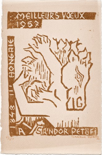
Kuntz, Marcelle
Marcelle Kuntz : carte de voeux pour 1957 et gravure sur bois originale
1957 Carte de voeux de Marcelle Kuntz pour l'année 1957. 19 x 12,5 cm, portant une gravure sur bois inspirée par le poète hongrois Sándor Petöfi, signée et numérotée 12/69 à l'encre rouge.
书商的参考编号 : 1481
|
|
|
Kuniyoshi Takekawa, Keiko Nagae, Masaaki Ito / Written by Meiji Maps
Lesson Plan for “Welfare Volunteer Education†Pioneering Comprehensive Learning 3
Not Available 1999. Soft Cover. Fine. The book is in fine condition. Not Available paperback
书商的参考编号 : 2090502113716190
|
|
|
Kupcik, Ivan
Alte Landkarten. Von der Antike bis zum Ende des 19. Jahrhunderts
Hanau Dausien, 1980. 239 S. mit vielen tlw. farb. Abb. 8° Oln Ou
书商的参考编号 : 135
|
|
|
Kutter, W.R.:
Carte des Cantons Bern nch den eidg. Aufnahmen bearbeitet und hrsg. durch W.R. Kutter, Ing. Maßstab 1 : 200.000.
In 24 Segmenten auf Leinen aufgezogen. Aufgefaltet 81 x 70 cm. Farbige Stahlstichkarte, gestochen von Leuzinger. Landkarten de
|
|
|
KYROU (Ado).-
L'âge d'or de la carte postale.
1966 Paris, Balland, 1966, in 4° carré relié pleine toile citron de l'éditeur, jaquette illustrée en couleurs, 151 pages ; très importante iconographie en noir et en couleurs.
书商的参考编号 : 79597
|
|
|
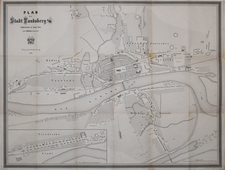
KÖHLER (Christian Wilhelm).
[GORZOW WIELKOPOLSKI] Plan der Stadt Landsberg a/W.
Landsberg, Fr. Schaeffer & Comp., 1863. 533 x 699 mm, replié.
书商的参考编号 : LBW-3154
|
|
|
KÖHLER, Joh. David:
Joh. David Köhlers ... kurze und gründliche Anleitung zu der alten und mittlern Geographie. Dritter Theil (nur Band 3) nebst XII Landchärtgen (mit 12 kol. gef. Karten).
Nürnberg bey Johann David Tyroff, Christoph Weigels des Ältern sel. Erb., 1765, kl. in-8vo, 4 Bl. (Titel in Rot u. Schwarz) + 156 S. + 12 Bl. (Register) + 1 Bl. (Fehler) + 12 gef. kolorierten Kupfertafeln (Landkarten). Ex-libris, Orig. H.-Ldr. d. Zeit. Gebrauchsspuren. Obere Ecken beschabt und abgerundet.
书商的参考编号 : 134471aaf
|
|
|
KÖHLER Johann David
Discus Chronologicus Omnium SRI Electorum
questa magnifica tavola incisa venne pubblicata da Christoph Weigel nel 1735; la “volvella cronologica” ha una lancetta movibile che indica i governanti germanici dall’anno 0 al 1730. Una deliziosa particolarità, ben conservata. this beautifully engraved Chronological volvelle table was published by Christoph Weigel in 1735. This Chronological volvelle time-table has a movable pointer showing the ruler of Germany from the year 0 until 1730. A wonderful curiosity in fine condition.

|
|
|
KÖLN - T.F. THIRIAT.
Grundriss der Stadt Köln.
1815. (ca. 55 x 94 cm.). Large engraved plan of Köln. Gezeichnet und gestochen von Picquet. Right margins with a few closed tears. A bit of fraying outside image. With 2 engraved attached flaps (fortifications) and with street-indexes.
书商的参考编号 : 54701
|
|
|
KÖLN - T.F. THIRIAT.
Grundriss der Stadt Köln.
1815. (ca. 55 x 94 cm.). Large engraved plan of Köln. Gezeichnet und gestochen von Picquet. Right margins with a few closed tears. A bit of fraying outside image. With 2 engraved attached flaps (fortifications) and with street-indexes.
|
|
|
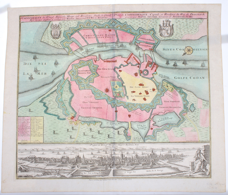
KØBENHAVN - COPENHAGEN. - MATTHIAS SEUTTER.
Coppenhagen die Königl. Dänische Hauptstadt und Residentz Stadt, in Grund Riss.
Augsburg, Verlag bey Tobias Conrad Lotter, (Ca. 1740). 50,5x59,5 cm. Kobberstukket plan over København visende bydelene lige efter den store brand 1728 og med den afbrændte del markeret. Fuld samtidig håndkolorering. Nederst på siden er der et detailleret prospekt af København, ukoloreret. Med våbenskjolde, kompasroser og skibe i søen.
书商的参考编号 : 50395
|
|
|
KØBENHAVN - EM. BÆRENTZEN (ILLUSTR.).
Prospect af Kjöbenhavn i Aaret 1520
(København, omkr. 1850). (Ca.20x30 cm.). Tonet litografi af Bærentzen set mod Nørreport. Lettere brunplettet.
书商的参考编号 : 48233
|
|
|
KØBENHAVN - COPENHAGEN. - MATTHIAS SEUTTER.
Coppenhagen die Königl. Dänische Hauptstadt und Residentz Stadt, in Grund Riss.
Augsburg, Verlag bey Tobias Conrad Lotter, (Ca. 1740). 50,5x59,5 cm. Kobberstukket plan over København visende bydelene lige efter den store brand 1728 og med den afbrændte del markeret. Fuld samtidig håndkolorering. Nederst på siden er der et detailleret prospekt af København, ukoloreret. Med våbenskjolde, kompasroser og skibe i søen.
|
|
|
KØBENHAVN - EM. BÆRENTZEN (ILLUSTR.).
Prospect af Kjöbenhavn i Aaret 1520
(København, omkr. 1850). (Ca.20x30 cm.). Tonet litografi af Bærentzen set mod Nørreport. Lettere brunplettet.
|
|
|
KØBENHAVN - L. BOTH.
Kaart over Kjöbenhavn. Optaget i Marken og tegnet af Topograph L. Both 1870. 3de omarbejdede Oplag.
(København), Chr. Steen & Söns Forlag, 1870. (51 x 63 cm.). Farvelitograferet kort over København. Lidt revnedannelse i foldningerne, men uden tab. Marginer med smårifter.
|
|
|
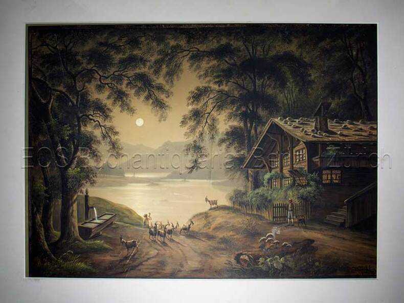
Küchlin, Jakob (1820–1885):
Thunersee Richtung Interlaken, Ringgenberg u. Brienzersee
(um 1850). Gouache. Bildgrösse: 34,5 x 48 cm. Blattgrösse: 42 x 55,5 cm.
书商的参考编号 : 597BG
|
|
|
Küchlin, Jakob (1820?1885)
Thunersee Richtung Interlaken, Ringgenberg u. Brienzersee
(um 1850). Gouache. Bildgrösse: 34,5 x 48 cm. Blattgrösse: 42 x 55,5 cm. + Wichtig: Für unsere Kunden in der EU erfolgt der Versand alle 14 Tage verzollt ab Deutschland / Postbank-Konto in Deutschland vorhanden +, Abb.
书商的参考编号 : 597BG

|
|
|
Kühnow, Friedrich - Blaeu, Joan
Ducatus Silesiae Laurani Delineatio. [Altkolorierter Original-Kupferstich / original colored copper engraving].
o.J. (Friedrich Kühnow, gestorben 1675. Kartograf. oan Blaeu (niederländisch ['jo??n 'bl?u]; deutsch Johannes Blaeu; * 1596 in Alkmaar, Niederlande; ? 28. Dezember 1673 in Amsterdam, Niederlande) war ein niederländischer Kartograf und Kupferstecher. 1654 schuf er den ersten Atlas Schottlands. Sein 1662 erstmals erschienener elfbändiger Atlas Maior gehörte zu den aufwendigsten und teuersten europäischen Atlanten des 17. Jahrhunderts.
书商的参考编号 : 15894DB
|
|
|
L´Isle, Guillaume de
Karte von Rußland (map of Russia) mit Moskau im Zentrum.
Amsterdam, Pierre Schenk ohne Jahr [um 1720]. Kolorierte Kupferstich-Karte in der Plattengröße von 49 x 61 cm. An den Rändern stellenweise etwas bestoßen und mit kleinen Einrissen (z. T. hinterlegt).
书商的参考编号 : 35072

|
|
|
L'Association:
L'Association vous adresse ses meilleurs voeux pour l'an 2000.
L'Association. Carte de voeux au format A4.
书商的参考编号 : 6180
|
|
|
L'HERMITE-LECLERCQ, Paulette
Le monachisme féminin dans la société de son temps
1989 - broché - Editions Cujas - Collection Religieux et Société, dirigée par Pierre-Roger Gaussin - 1989 - In-8 (24 x 15,5 cm) broché - 359 pages - Cartes en noir et blanc in fine - ISBN : 2-254-89061-4 - Titre complet : Le monachisme féminin dans la société de son temps. Le monastère de La Celle (XIe - début du XVIe siècle) - Préface de Pierre-Roger Gaussin
书商的参考编号 : 1015

|
|
|
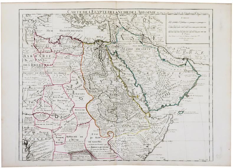
L'ISLE (Guillaume de).
[AFRIQUE/ARABIE] Carte de l'Égypte de la Nubie de l'Abissinie.
Paris, chez l'auteur, 1707. 493 x 618 mm.
书商的参考编号 : LBW-5479
|
|
|
L'ISLE (Guillaume de);
[BEZIERS] Carte du diocèse de Béziers.
Amsterdam J. Covens et C. Mortier circa 1710 450 x 574 mm.
书商的参考编号 : LBW03941

|
|
|
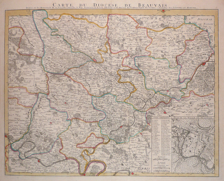
L'ISLE (Guillaume de).
[BEAUVAIS] Carte du diocèse de Beauvais.
Amsterdam, J. Covens et C. Mortier, [circa 1710]. 451 x 578 mm.
书商的参考编号 : LBW03961
|
|
|
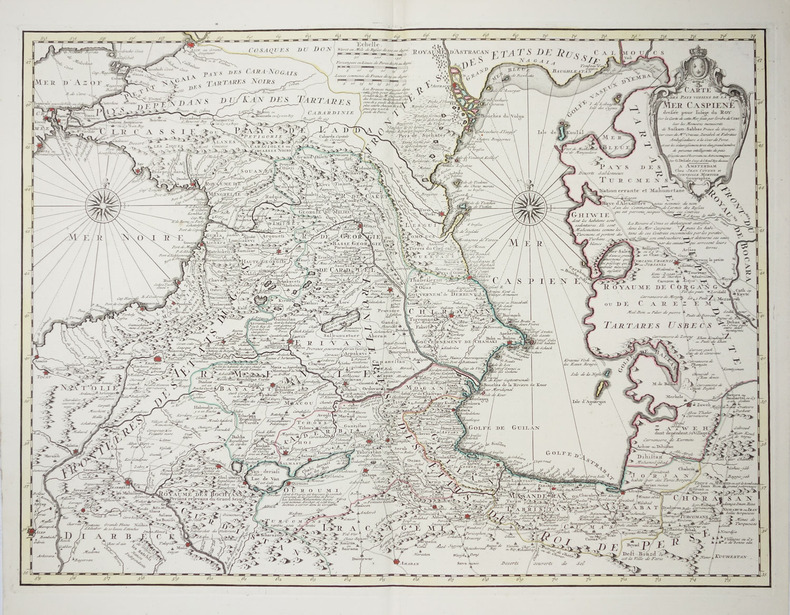
L'ISLE (Guillaume de).
[MER CASPIENNE] Carte des pays voisins de la mer Caspiene.
Amsterdam, Jean Covens et Corneille Mortier, [circa 1730]. 458 x 616 mm.
书商的参考编号 : LBW-2256
|
|
|
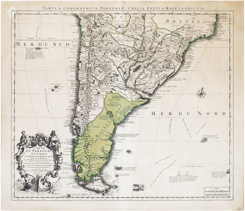
L'ISLE (Guillaume de).
[PARAGUAY/CHILI] Carte du Paraguay, du Chili, du détroit de Magellan &c.
Amsterdam, Jean Covens et Corneille Mortier, [circa 1720]. 497 x 577 mm ; contrecollée sur carton.
书商的参考编号 : LBW-7015
|
|
|
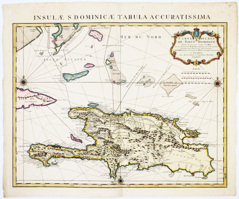
L'ISLE (Guillaume de).
[SAINT-DOMINGUE] Carte de l'isle de Saint Domingue dressée en 1722 pour l'usage du roy sur les mémoires de Mr. Frézier.
Amsterdam, Jean Covens et Corneille Mortier, [circa 1740]. 485 x 605 mm.
书商的参考编号 : LBW-1730
|
|
|
L'ISLE (Guillaume de).
[SENLIS] Carte topographique du diocèse de Senlis.
Amsterdam, J. Covens et C. Mortier, [circa 1710]. 463 x 609 mm.
书商的参考编号 : LBW03962
|
|
|
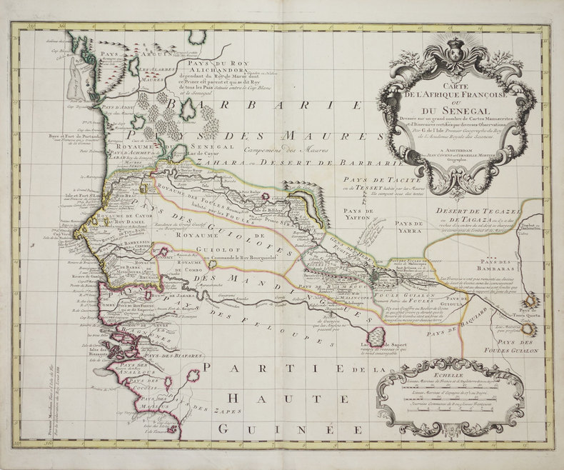
L'ISLE (Guillaume de).
[SENEGAL] Carte de l'Afrique françoise ou du Sénégal.
Amsterdam, Jean Covens et Corneille Mortier, [1726-1730]. 493 x 620 mm.
书商的参考编号 : LBW-3179
|
|
|
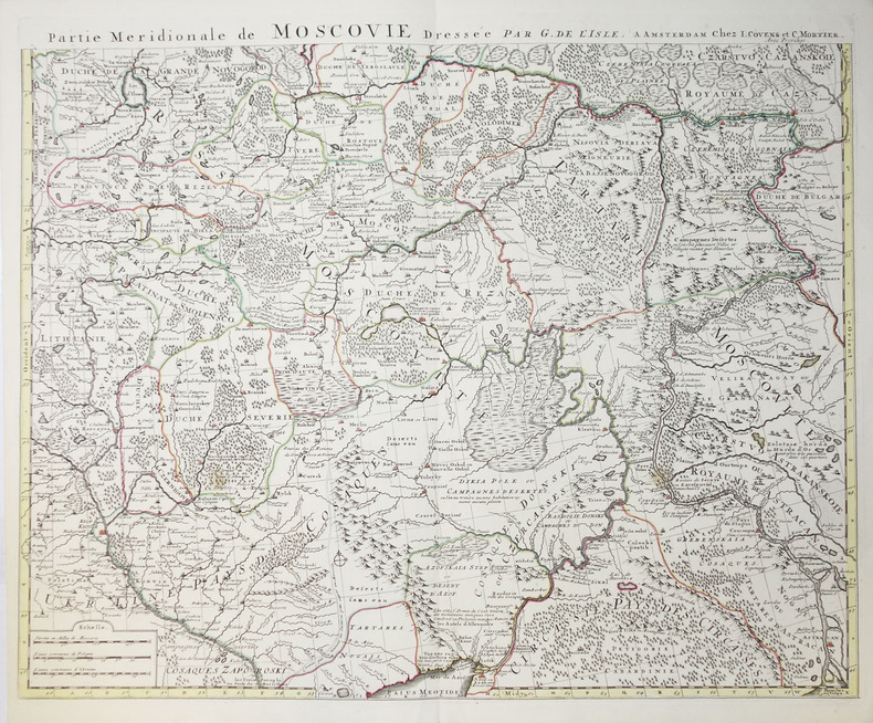
L'ISLE (Guillaume de).
Carte de Moscovie - Partie méridionale de Moscovie.
Amsterdam, Jean Covens et Corneille Mortier, circa 1740. En deux feuilles non jointes pouvant former une carte d'environ 980 x 620 mm.
书商的参考编号 : LBW-2276
|
|
|
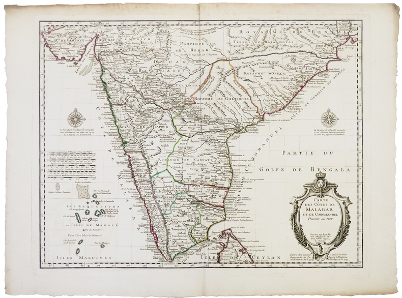
L'ISLE (Guillaume de).
Carte des côtes de Malabar et de Coromandel.
Paris, chez l'auteur, 1723. 442 x 577 mm.
书商的参考编号 : LBW-5382
|
|
|
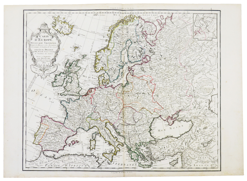
L'ISLE (Guillaume de).
Carte d'Europe dressée pour l'instruction. D'après les itinéraires et les observations astronomiques de l'Académie R.le des Sciences.
Paris, chez l'auteur, 1800. 511 x 617 mm.
书商的参考编号 : LBW-5398
|
|
|
L'ISLE (Guillaume de).
Carte d'Amérique dressée pour l'instruction.
Paris, chez l'auteur, 1790. 480 x 595 mm.
书商的参考编号 : LBW-5411

|
|
|
L'ISLE (Guillaume de).
Carte des Antilles Françoises et des isles voisines dressée sur les mémoires manuscrits de M.r Petit, Ingénieur du roy, et sur quelques observations.
Amsterdam, Jean Covens et Corneille Mortier, [1730]. 590 x 446 mm.
书商的参考编号 : LBW-8692

|
|
|
L'ISLE (Guillaume de, ou DELISLE).
Carte d'Europe dressée pour l'usage du Roy [sic] sur les itinéraires anciens et modernes et sur les routiers de mer assujettis aux observations astronomiques.
A Paris, chez l'auteur, 1745. Dimensions : 618 x 498 (cuvette) + passe-partout + cadre.
书商的参考编号 : 21113

|
|
|
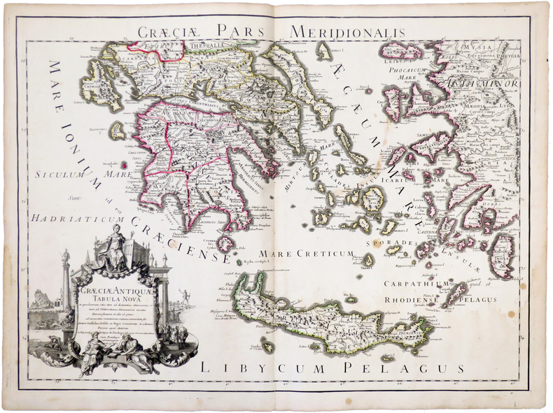
L'ISLE (Guillaume de).
Græciæ antiquæ tabula nova. Græciæ pars meridionalis.
Paris, chez l'auteur, 1707. 467 x 648 mm.
书商的参考编号 : LBW-5235
|
|
|
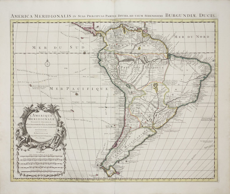
L'ISLE (Guillaume de).
L'Amérique méridionale - America meridionalis in suas præcipuas partes divisa, ad usum serenissimi Burgundiæ Ducis.
Amsterdam, J. Covens & C. Mortier, [1700-1730]. 471 x 582 mm.
书商的参考编号 : LBW-3167
|
|
|
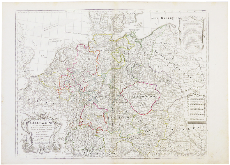
L'ISLE (Guillaume de).
L'Allemagne dressée sur les observations de Tycho-Brahé, de Kepler, de Snellius.
Paris, Dezauche, 1788. 488 x 630 mm.
书商的参考编号 : LBW-5409
|
|
|
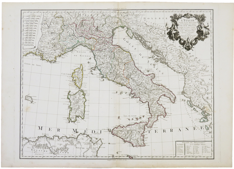
L'ISLE (Guillaume de).
L'Italie dressée sur les observations de l'Académie des Sciences.
Paris, Dezauche, An XI-1802. 490 x 618 mm.
书商的参考编号 : LBW-5391
|
|
|
L'ISLE (Guillaume de).
Les Isles Britanniques.
Paris, Dezauche, 1772. 474 x 618 mm.
书商的参考编号 : LBW-5407

|
|
|
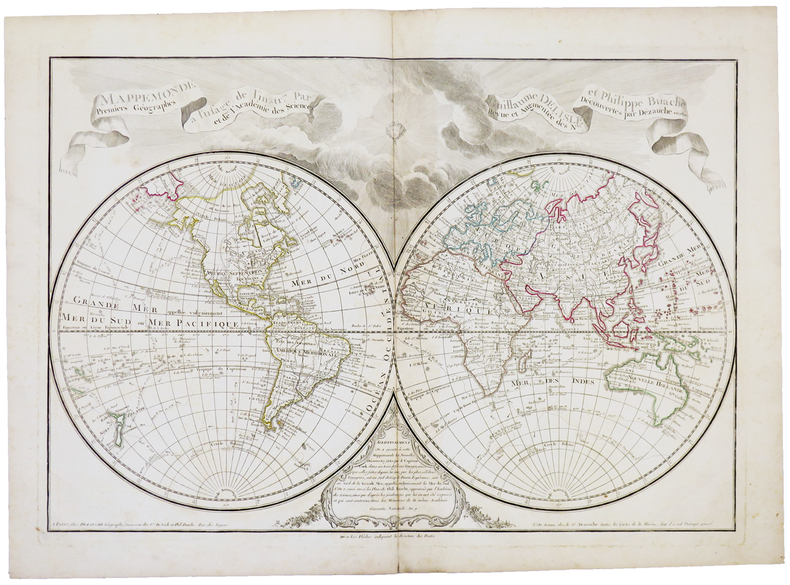
L'ISLE (Guillaume de).
Mappemonde à l'usage de l'instruction.
Paris, Dezauche,1800. 455 x 658 mm.
书商的参考编号 : LBW-5393
|
|
|
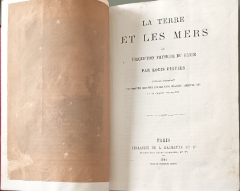
L. Figuier
La Terre et les mers ou descriptionsphysique du globe ouvrage contenant 170 vignettes dessinées par MM. Karl Girardet Lebreton ect et 20 cartes physiques
Librairie de L. Hachette et Cie 1864 580 pages IN4. 1864. reliure editeur. 580 pages. Cet ouvrage de Louis Figuier publié par Hachette et Cie décrit la Terre et les mers sous leurs aspects physiques. Il s'agit d'une œuvre de vulgarisation scientifique du XIXe siècle richement illustrée de gravures et de cartes qui fait suite à 'La Terre avant le déluge'
书商的参考编号 : 12968
|
|
|
L. N. A. et C. T. [TAILLARD Constant]
Les jeunes voyageurs, ou Lettres sur la France, en prose et en vers; ornés de quatre-vingt-huit gravures. (6 volumes)
A Paris, Chez Lelong 1821 A Paris, Chez Lelong, 1821, 6 volumes in-12 de 950x150 mm environ, frontispice, (2) ff., xxxvi, 208 p., (1) f. - frontispice, (2) ff., 234 p., (1) f. - frontispice, (2) ff., 239 p., (1) f. - frontispice, (2) ff., 241 p., (1) f. - frontispice, (2) ff., 238 p., (1) f. - frontispice, (2) ff., 283 p., (1) f. Complet des 88 planches (en partie coloriées), dont 1 carte de France en double page, sinon essentiellement des cartes des départements français. Demi-chagrin brun, dos à nerfs portant titres et tomaisons dorés, tranches mouchetées, gardes marbrées. Cuir frotté, des rousseurs, sinon bon état général.
书商的参考编号 : 119069

|
|
|
L. & Ch. de Fouchier
Un mois aux Pyrénées ouvrage illustré de cinquante gravures et de vingt six cartes
Librairie Hachette 1920 253 pages in8. 1920. broché. 253 pages. Un récit de voyage illustré de 50 gravures et 26 cartes décrivant une exploration d'un mois dans les Pyrénées publié par la Librairie Hachette
书商的参考编号 : 16431

|
|
|
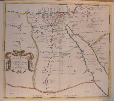
LA RUE (Philippe de).
[EGYPTE] Egypte moderne dict Chibet aujour-dhuy.
Paris, Pierre Mariette, [1651-1653]. 408 x 464 mm.
书商的参考编号 : LBW02504
|
|
|
LA PÉROUSE (Jean-François de Galaup, comte de).
[HAWAII] Carte des parties des îles Sandwich - Carte des îles Sandwich.
[Paris, 1797]. 684 x 493 mm.
书商的参考编号 : LBW-2784

|
|

 ?????????
 ?????PDF???
 RSS feed
 ??
??


