|
DÉPÔT-GÉNÉRAL DE LA MARINE & BEAUTEMPS-BEAUPRÉ (Charles-François).
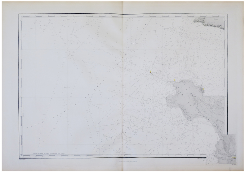
[ÎLE de NOIRMOUTIER].
Dépôt-Général de la Marine, 1828-1888. 610 x 910 mm.
Referentie van de boekhandelaar : LBW-5757
|
|
|
DÉPÔT-GÉNÉRAL DE LA MARINE & BEAUTEMPS-BEAUPRÉ (Charles-François).
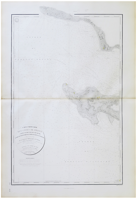
[ÎLE de RÉ] Carte particulière des côtes de France (Partie occidentale de l'île de Ré, entrée du Pertuis breton, entrée du Pertuis d'Antioche).
Dépôt-Général de la Marine, 1831-1872. 955 x 580 mm.
Referentie van de boekhandelaar : LBW-5752
|
|
|
DÉPÔT-GÉNÉRAL DE LA MARINE & BEAUTEMPS-BEAUPRÉ (Charles-François).
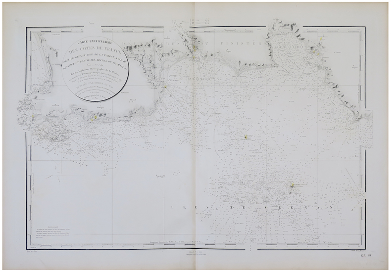
[ÎLES des GLÉNAN] Carte particulière des côtes de France (îles de Glénan, Baie de la Forest, Anse de Bénodet et partie des roches de Penmarc'h).
Dépôt-Général de la Marine, 1824-1888. 620 x 935 mm.
Referentie van de boekhandelaar : LBW-5764
|
|
|
DÉPÔT-GÉNÉRAL DE LA MARINE.
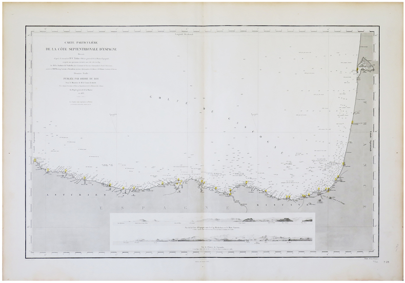
[ASTURIES/PAYS BASQUE] Carte particulière de la côte septentrionale d'Espagne.
Paris, Dépôt-Général de la Marine, 1833-1890. 598 x 895 mm.
Referentie van de boekhandelaar : LBW-5637
|
|
|
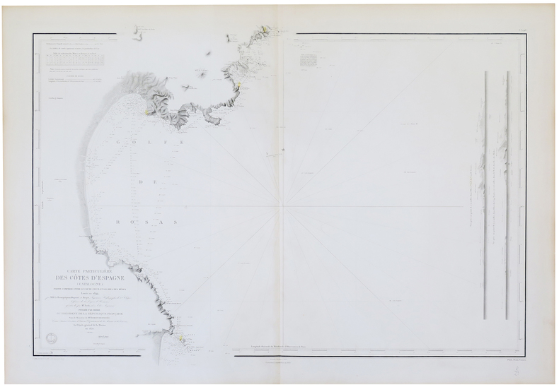
DÉPÔT-GÉNÉRAL DE LA MARINE.
[CATALOGNE] Carte particulière des côtes d'Espagne (Catalogne). Partie comprise entre le Cap de Creux et les îles des Mèdes.
Dépôt-Général de la Marine, 1850-1869. 640 x 915 mm.
Referentie van de boekhandelaar : LBW-5677
|
|
|
DÉPÔT-GÉNÉRAL DE LA MARINE.
[GALICE/ASTURIES] Carte particulière de la côte septentrionale d'Espagne.
Dépôt-Général de la Marine, 1833-1890. 600 x 895 mm.
Referentie van de boekhandelaar : LBW-5663

|
|
|
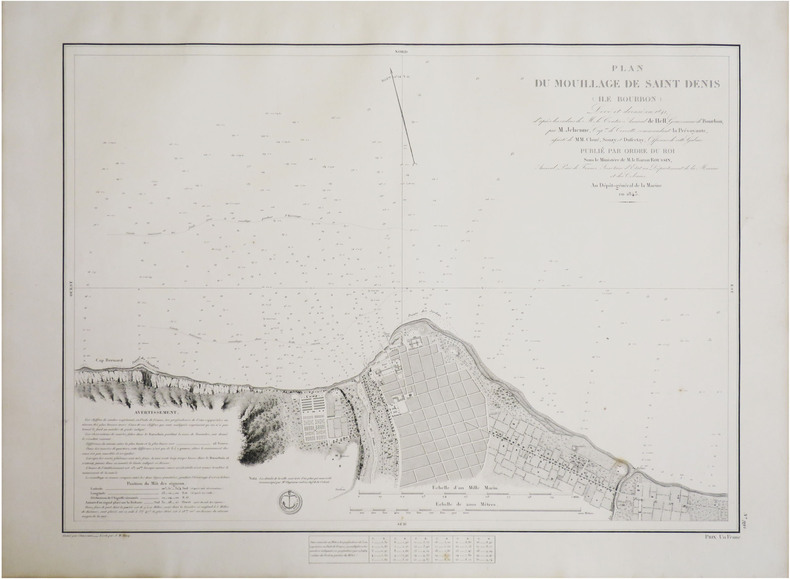
DÉPÔT-GÉNÉRAL DE LA MARINE.
[LA RÉUNION] Plan du mouillage de Saint Denis (Île Bourbon).
[Paris], Dépôt-Général de la Marine, 1843. 440 x 576 mm.
Referentie van de boekhandelaar : LBW-8791
|
|
|
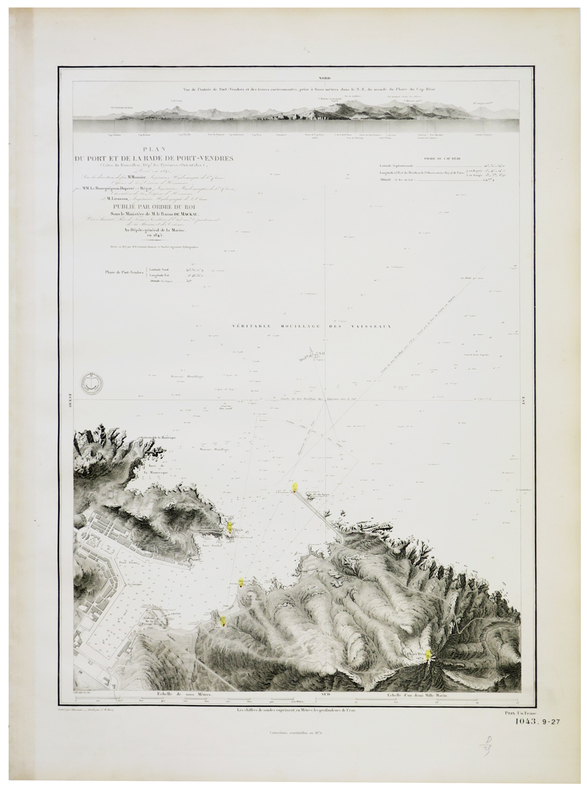
DÉPÔT-GÉNÉRAL DE LA MARINE.
[PORT-VENDRES] Plan du port et de la rade de Port-Vendres (Côtes du Roussillon, Dép.t des Pyrénées-Orientales).
Dépôt-Général de la Marine, 1845-1874. 610 x 436 mm.
Referentie van de boekhandelaar : LBW-5645
|
|
|
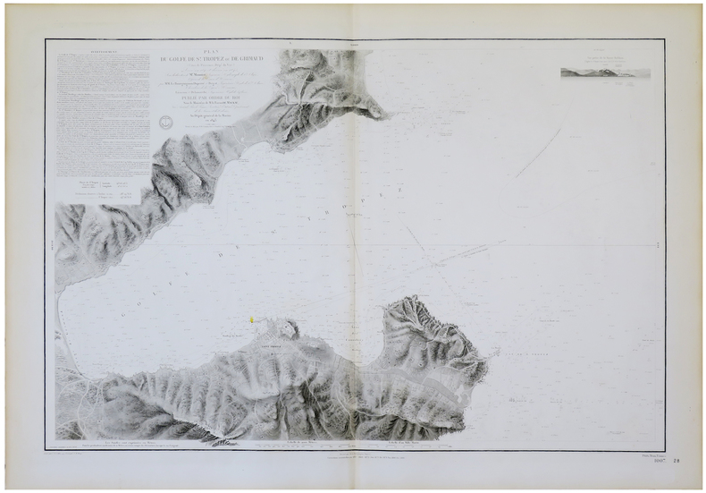
DÉPÔT-GÉNÉRAL DE LA MARINE.
[SAINT-TROPEZ] Plan du golfe de S.t Tropez ou de Grimaud (Côtes de Provence, Dép.t du Var).
Dépôt-Général de la Marine, 1843-1886. 610 x 914 mm.
Referentie van de boekhandelaar : LBW-5653
|
|
|
DÉSIRY (Joseph).
[ÎLE d'YEU] Canton de l'île d'Yeu.
Paris, Erhard, [1887]. 528 x 341 mm.
Referentie van de boekhandelaar : LBW-8310

|
|
|
DÍAZ ALEJO, Raimundo y GIL, Joaquín [Editores].
América y el Viejo Mundo.
Buenos Aires, Joaquín Gil Editor, 1942. 4to.; 4 hs., 558 pp., 1 h. Con 343 ilustraciones en láminas fuera de texto y 9 mapas plegados. Encuadernación moderna en media tela con tejuelo. Contiene el facsímil de la edición principe de la versión latina de la Carta de Cristobal Colón a Gabriel Sánchez. El libro se completa con un impresionante aparato iconográfico, preparado por Joaquín Gil, que reproduce numerosos mapas de los Siglos XV al XVIII, grabados relativos a la "idea europea" de América y sus habitantes, portadas de libros, etc.

|
|
|
DÜRRENMATT (Guy) - DUGUA (Roger).
FOIRES ET MARCHES EN ARDECHE ET HAUTE-LOIRE.Histoire et anecdotes.
Le Cheylard, Dolmazon, 2005, 1 broché, couverture illustrée. in-4 de 217-(3) pages, nombreuses photos (reproductions de cartes postales anciennes) ;
Referentie van de boekhandelaar : 19339
|
|
|
Düwel, Robert
Hamburg und seine schöne Umgebung. [Stadtplan]. Text v.Robert Duüwel.
(Hamburg, Fremdenverkehrs- u. Kongress-Zentrale Hamburg, 1966). Mehrfach gefalt. farbige Ktn.-Skizze, gezeichnet von Heinz Schultchen. Blattnmaß 42 x 60 cm. Gefalzt zu21 cm.
Referentie van de boekhandelaar : 51687

|
|
|
D’ORLEANS Père
Histoire des Révolutions d’Angleterre
depuis le commencement de la monarchie. Nouvelle édition, corrigée, ornée de cartes. Tomes 1-2 rt 3. (Tome 4 et dernier manquant) In 12 plein cuir fauve raciné à nerfs, pièce de titre et tomaison cuir rouge, caissons, filets, roulette dorés. Roulette dorée sur coupes. Tranches marbrées, filet à froid encadrant les plats. Tome I : faux-titre, XII avertissement, Carte dépliante de l’Angleterre suivant les dernières relations de SANSON, 480 pages. Tome II : faux-titre, titre, carte dépliante de l’Ecosse suivant les dernières relations de SANSON. 451 pages. Tome LLL : faux-titre, XI, carte dépliante de l’Irlande suivant les dernières relations par SANSON. 434 pages. A Paris chez François MUSIER Quai des Augustins 1767. Quelques coins légèrement émoussés, sinon bon ensemble, complet des 3 cartes
Referentie van de boekhandelaar : 12058

|
|
|
E A (Maps) Manchester
Whitcombe's New Zealand clear school atlas. For use in New Zealand schools
UK produced for W & T's: Whitcombe & Tombs. Good. Paperback. <br><p>cornerv wear to card covers -very slight creasing to cover- we do ahve other atlase's for NZ school children</p> . Whitcombe & Tombs paperback
Referentie van de boekhandelaar : 4275aa

|
|
|
E. Desjardins
Tours de cartes
A. Fayard 159 pages collection Bibliothèque universelle de poche. Paris. in-12. Sans date. broché. 159 pages. Traité théorique et pratique rédigé d'après les travaux des plus célèbres professeurs par Eugène Durand - Nouvelle édition illustrée de gravures explicatives
Referentie van de boekhandelaar : 25429

|
|
|
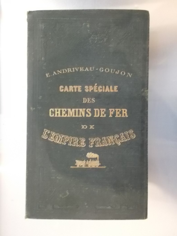
E/ Andriveau - Goujon
CARTE SPECIALE des CHEMINS DE FER de L'EMPIRE FRANCAIS. 1870.
Taille : 96 x 83 cm. Editions E. Andriveau-Goujon.
Referentie van de boekhandelaar : CHF150M
|
|
|
Eagleton, Terry
The Truth About the Irish
No marks or inscriptions. No creasing to covers or to spine. A very clean very tight copy with bright unmarked boards and no bumping to corners. 181pp. The book which 'separates the myths about the Irish from the reality with a blend of caustic commentary, jokes that will make you laugh out loud and answers to questions you were too polite to ask'.

|
|
|
Earl Schenck Miers; Richard J. Stinely (maps & illustrations); John J. Walklet, Jr. (book design)
Blood of freedom; the Story of Jamestown Williamsburg and Yorktown
Williamsburg Virginia: Colonial Williamsburg / Henry Holt & Company Inc. January 1967. Reprint. Hardcover . Very Good. 2nd printing. In edgeworn dustjacket tanned at margins & spine. Verso darkened at spine and along folds. Front flap is not clipped. Pine green faux-leather with American colonial era cannon and gunner ramming ball into the breech that is stamped in gold. Likewise on the spine gold lettered title and author in gold frame. Clean interiors. Sound binding. 179 pages. Colonial Williamsburg / Henry Holt & Company, Inc. hardcover
Referentie van de boekhandelaar : 247856
|
|
|
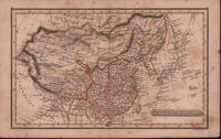
EARLY 19TH CENTURY MAP OF CHINA.
Chinese Empire.
London.: Robert Jennings. c1828. Engraved map with original hand colouring 24x 14cm vertical fold foxed and browned. Still a delightful little map. From Fenner's "Pocket Atlas of Modern & Ancient Geography" c1828. Has interesting descriptions including; Great Sandy Desert of Cobi sic called by the Chinese 'Shamo'; "Small island seen by Capt. Moore;" 'Fatsisio' place of exile for the Japanese. . (Robert Jennings) unknown
Referentie van de boekhandelaar : 214901
|
|
|
Early Printed Maps of Canada Vol. III 1703-1799
Early Printed Maps of Canada
Kershaw Pub 1997. First Edition. Hardcover. very Good/Very Good. 0x0x0. this copy has a solid tight binding with clean u unmarked pages light bit of edge wear to the dj from the shelf.Maps of Eastern Canada & Newfoundland The Maritimes Nova Scotia Halifax Prince Edward Island Sable Island Cape Breton Louisbourg & The Great Lakes. Kershaw Pub hardcover
Referentie van de boekhandelaar : js5667 ISBN : 096971842X 9780969718420
|
|
|
Easterbrook, Don J.
Landforms of Washington: The Geologic Environment
Book shows light shelf wear to covers Binding is solid and square, covers have sharp corners, exterior shows no blemishes, text/interior is clean and free of marking of any kind. Written as an illustrated account of the nature and effects of geology and the topography of Washington State, the effects of glaciation, flooding, and material composition. Includes two maps of the geology of Washington State with a pamphlet "6 times in 3,500 years," about the Kautz Creek Mudflow Nature Trail (1975) regarding the eruption of Mt. Rainier. Contents include: Cascade mountains, Puget lowland, Coast ranges, Columbia basin , Northern rocky mountains. 156 pages
|
|
|
Easyfind Series of Maps
Map and Street Directory of Durham
Worcester: Littlebury & Company Limited .please e-mail for further details. Not Signed or Inscribed. This is a First Edition. Red Card. Very Good AVERAGE/No Jacket. Illus. by Ilustrated with Large Fold Out Map. 12mo - over 6¾" - 7¾". PAPERBACK. Littlebury & Company Limited Paperback
Referentie van de boekhandelaar : 008272
|
|
|
EBERLIN Philippe:
Rapport de mer. Navires et marins au service de la Suisse et de la Croix-Rouge pendant la guerre de 1939-1945.
Berne, Office central fédéraldes imprimés et du matériel, 1970. In-8 broché de 285 pages, couverture illustrée.
Referentie van de boekhandelaar : 19980

|
|
|
EBUL'ULA MARDIN, (Turkish jurist, academician and politician), (1881-1957).
Huzur dersleri. 2 volumes set.
Very Good Turkish In decorative contemporary clothes. Roy. 8vo. (24 x 17 cm). In Turkish. 2 volumes set: (614 p.;1154 p.). Mardin was a Turkish jurist, academician and politician. He was one of the ends of the Ottoman Empire and the firsts of Turkish Republic lawyers. He worked as a lecturer at Istanbul University during his whole life, where he graduated, and became a professor of the Civil Law. He ws born in Shkodra. Scarce. First Edition.
|
|
|
Eby, Ezra E. (1895-96), Joseph B. Snyder (1931); Eldon D. Weber (index, notes, maps and documents)
A Biographical History of Early Settlers and Their Descendants in Waterloo Township
Waterloo Canada: Eldon D. Weber 1984. hardcover. Good. 0x0x0. Fair brown cloth hardcover has fraying to spine ends and edges and 3x2" and a 1x2" pieces if cloth missing from the spine exposing the cardboard underneath gift inscription on front endpage binding sound internally clean. copyright page has the address for Eldon Weber crossed out and a new address stamped below it. Includes an index and a map enclosed in an envelope affixed to the rear inside cover. Includes a supplement by Joseph B. Snyder. 1984 reprint ISBN 0919061001. Not a print on demand copy. Around 1800 families of Mennonites began to move north from the United States to Canada in search of farm land. Ezra Eby collected family histories from Pennsylvania German pioneer families in Waterloo Township Ontario and originally published these as "A Biographical History of Waterloo Township" in 1895 and 1896. Eldon D. Weber hardcover
Referentie van de boekhandelaar : 250713001 ISBN : 0919061001 9780919061002
|
|
|
Eby, Ezra E. (1895-96), Joseph B. Snyder (1931); Eldon D. Weber (index, notes, maps and documents)
A Biographical History of Early Settlers and Their Descendants in Waterloo Township with A Supplement
Eldon D. Weber 1984. Book. Near Fine. Hardcover. First Thus. 4to - over 9¾" - 12" tall. Brown leatherette lettered in gold foil. 3rd ptg. 1984 of facsimile reprint edition. Slightly soiled covers nearly as issued. Main text dates to 1895-96 Eby with 1931 supplement by Snyder every-name index and geographical index by Weber. Map in rear pocket as called for. Eldon D. Weber Hardcover
Referentie van de boekhandelaar : 057032 ISBN : 0919061001 9780919061002
|
|
|
ECOMMOY
Carte couleurs topographique au 1/25 000e d'Ecommoy. Partie ouest.
Une feuille 77x90 cm.
|
|
|
ECOSSE. . .
The tourist's atlas guide to Scotland. 32 pages of coloured maps. . . 24 pages of gazetteer. . . Sans date.
Broch?. 64 pages. Couverture l?g?rement d?fra?chie.
|
|
|
ed C. C. J. Bond Maps W. R. Feasby
Official History of the Canadian Medical Services 1939 - 1945 2 Volume Set Vol. I: Organization and Campaigns. Vol. II: Clinical Subjects.
Ottawa: Edmond Cloutier Queens' Printer and Controller of Stationery. Very Good in Very Good- dust jacket. 1956. First Edition. Hardcover. Volume I has no dust jacket the red coth covered boards dated 1956 some shelf soil to page edges top back corner bumped. Volume II dated 1953 has chipped DJ 1 inch tear bottom front panel and 2 inch tear top back panel. ; Fold-out maps in Vol. I and map endpapers appear undamaged B&W and color illustrations in Vol II ; Color Illustrations . Edmond Cloutier, Queens' Printer and Controller of Stationery hardcover
Referentie van de boekhandelaar : 15240

|
|
|
EDELSON, E.
Sachez prédire votre avenir.
in-12 carré, 167 pp., illustrations et fig., broché, couv. illustree. Tres bel exemplaire, très frais. [CA30-5][NV-28][BL-11][MI-19] Dés, rêves, I ching, cartes, tarots, nombres, dominos, boule de cristal, feuilles de thé, lignes de la main.
|
|
|
Eden-Roc Cap d'Antibes
Souvenir du pavillon Eden-Roc Cap d'Antibes album de 10 cartes postales
LEVY sd - album de 10 cartes postales sous serpentes et une carte,bon état
Referentie van de boekhandelaar : 27008

|
|
|
EDER Joseph
Prospect der Stadt Rom
Raffigurazione della città con deformazione verticale dei monumenti, panorama della città da Monte Mario. Incisa da A. Sommer e stampata a Vienna intorno al 1770. (Marigliani indica erronemente la data di stampa in 1730). La veduta prospettica (incisione su rame) rappresenta Roma secondo il modulo inaugurato dai disegnatori tedeschi nella prima metà del sec. XVIII. Editore e autore del disegno sono, rispettivamente, i poco documentati J. Eder e A. Sommer, le cui firme compaiono agli angoli sotto il margine inferiore.Poche notizie si hanno a riguardo dell’editore Joseph Eder, nativo di Vienna. Sommer potrebbe essere lo pseudonimo di Alois Sonne von Sonnefeld, incisore sempre originario della capitale austriaca. Incisione in rame, in ottimo stato di conservazione. Rara. Raffigurazione della città con deformazione verticale dei monumenti, panorama della città da Monte Mario. Incisa da A. Sommer e stampata a Vienna intorno al 1770. (Marigliani indica erronemente la data di stampa in 1730). La veduta prospettica (incisione su rame) rappresenta Roma secondo il modulo inaugurato dai disegnatori tedeschi nella prima metà del sec. XVIII. Editore e autore del disegno sono, rispettivamente, i poco documentati J. Eder e A. Sommer, le cui firme compaiono agli angoli sotto il margine inferiore.Poche notizie si hanno a riguardo dell’editore Joseph Eder, nativo di Vienna. Sommer potrebbe essere lo pseudonimo di Alois Sonne von Sonnefeld, incisore sempre originario della capitale austriaca. Incisione in rame, in ottimo stato di conservazione. Rara. C. Marigliani, "Le Piante di Roma delle collezioni private", tav. 184

|
|
|
Edgar McInnis and Maps and Photos
War Fourth Year
Hardcover. Very Good. Visually inspected by Bonnie: hardback copyright 1945 no marking text good condition on pages book cover and binding shelf wear. #A; We ship M-F by 4pm MDT and Saturday by 12pm with tracking info. hardcover
Referentie van de boekhandelaar : W5-JIVL-VHCI
|
|
|
Edited by Hideki Ozaki et al., Meiji Maps
100 year history of children's books
Not Available 1973. Soft Cover. Fine. The book is in fine condition. Not Available paperback
Referentie van de boekhandelaar : 2080502106904303
|
|
|
Edited by Yoshihiro Saito Meiji Maps
A Female Teacher at a Shima Elementary School That Has Changed Me
Not Available 1967. Soft Cover. Fine. The book is in fine condition. Not Available paperback
Referentie van de boekhandelaar : 2090502113703439
|
|
|
Edited by the Editing Committee of Mechanical Engineering Maps
Automobiles Railway vehicles
Giho-sha 1955. Soft Cover. Fine. Volume: 1 Giho-sha paperback
Referentie van de boekhandelaar : 2083002117401981
|
|
|
Edited by the Society of Old Maps of Japan
Kochi-zu Kenkyu Vol. 301-314 Vol. 307 missing 13 vols.
Not Available 1995. Soft Cover. Fine. Volume: 13 Not Available paperback
Referentie van de boekhandelaar : 2091502135417324
|
|
|
Edited by Saikyo Takehiko / Meiji Maps
Literature class Elementary school 2nd grade
Not Available 1975. Soft Cover. Fine. The book is in fine condition. Not Available paperback
Referentie van de boekhandelaar : 2090502113715761
|
|
|
Edited by Saikyo Takehiko / Meiji Maps
Literature class Elementary school 6th grade
Not Available 1978. Soft Cover. Fine. The book is in fine condition. Not Available paperback
Referentie van de boekhandelaar : 2090502113712102
|
|
|
Edited by Saikyo Takehiko / Meiji Maps
Literature class 5th grade elementary school
Not Available 1978. Soft Cover. Fine. The book is in fine condition. Not Available paperback
Referentie van de boekhandelaar : 2090502113712103
|
|
|
Edited by the Japanese Language Education Society of Japan, Meiji Maps
Reform of Japanese language education Complete set of three volumes
Not Available 1968. Soft Cover. Fine. The book is in fine condition. Not Available paperback
Referentie van de boekhandelaar : 2080502106913718
|
|
|
Edited by Tadatoshi Okubo and Kisao Kobayashi Meiji Maps
teacher speaking skills
Not Available 1979. Soft Cover. Fine. The book is in fine condition. Not Available paperback
Referentie van de boekhandelaar : 2090502113708698
|
|
|
Edited by . A. Plummer. With maps notes and introduction
The Cambridge Bible for Schools and Colleges. The Gospel According to St. Mark
Cambridge University Press 1920 Cambridge University Press 1920 hardback no jacket blue titles to mottled blue boards xlviii 211 pp with colour maps at rear slight discolouring to spine Otherwise in VERY GOOD CLEAN TIGHT READING ORDER. Full refund if not satisfied. 24 hour dispatch. If not pictured in this listing a scan of the actual book is available on request. Hardcover. Very Good. Cambridge University Press hardcover
Referentie van de boekhandelaar : toi155
|
|
|
Edited by Edward John Payne. With Additional Notes, Maps, Etc., By
Voyages of Drake and Gilbert. Select Narratives from the "Principal navigations" of Hakluyt
Oxford: Oxford at the Clarendon Press 1925. Cloth Bound Boards. Very Good/No Jacket. 12mo - over 6¾" - 7¾" tall. Size 7½" x 4¾" 327 pages. Green cloth covered boards with black stamped titles in an ornate art deco frame on the front cover and spine. Condition very good owners inscription on front endpaper cover a bit grubby bottom right edge of front cover a bit tatty contents clean complete intact. With full page maps of North America and South America. <br/> <br/> Oxford at the Clarendon Press hardcover
Referentie van de boekhandelaar : 010445
|
|
|
Edited by Payne, EJ with additional notes, maps, etc., by Beazley C. Raymond
VOYAGES OF HAWKINS FROBISHER AND DRAKE: Select Narratives from the "Principal Navigations" of Hakluyt
Clarendon Press 1922. Cloth. Good. 1922 Edition; lvi 280pp. Green cloth covers with black decoration and titling. previous owners signature on fep shelfware contents clean. Good Quantity Available: 1. Shipped Weight: Under 1 kilogram. Category: Exploration; Antarctic; Pictures of this item not already displayed here available upon request. Inventory No: 2673. . Clarendon Press hardcover
Referentie van de boekhandelaar : 2673

|
|
|
Edited by Yasuji Okumura Meiji Maps
When the flowers open Record of an adolescent girl Meiji Zusho Junior High School Bunko 28
Not Available 1980. Soft Cover. Fine. The book is in fine condition. Not Available paperback
Referentie van de boekhandelaar : 2090502113716153
|
|
|
Edited by FATIH DALGALI.
Sultan II. Abdülhamid devri harita ve planlarinda Istanbul.
New English Original cloth bdg. Folio. (41 x 31 cm). In Turkish. 328 p., color ills. and maps. Istanbul, Constantinople in the maps and drawings of Sultan Abdulhamid II's epoch. A very heavy volume. Extra shipping cost will be requested. Sultan II. Abdülhamid devri harita ve planlarinda Istanbul.
|
|
|
Edited by IRFAN DAGDELEN.
Charles Edouard Goad'in Istanbul sigorta haritalari.
New Turkish Original bdg. HC. Folio. (42 x 34 cm). Text in Turkish and French. [xx], [66], 37, [1] p., color maps. Charles Edouard Goad'in Istanbul sigorta haritalari. Fire insurance maps of Istanbul by Charles Edouard Goad, (1848-1910). He was a cartographer and civil engineer, was born on 15 March 1848 at High Street, Camberwell, Surrey, the second son of Charles Goad, plumber, of London, and his wife, Caroline Ann (née Vogel). 1000 copies were printed.
|
|
|
Edited by KAROLY KOCSIS, FERENC SCHWEITZER.
Hungary in maps.
New English Original bdg. HC. 4to. (30 x 21 cm). In English. 211 p., fully color maps and tables. Hungary in maps. Main contents: Foreword.; Hungary in the world.; Characteristics of historical evolution.; Natural environment.; Population and settlement.; Economy.; References.; List of figures.; List of tables.
|
|
 De zoekresultaten per email ontvangen
 Zoekresultaten downloaden als PDF
 RSS feed


