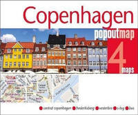
PopOut Maps. Fol Map. Map. Used; Very Good. Simply Brit welcome to our online used book store where affordability meets great quality. Dive into a world of captivating reads without breaking the bank. We take pride in offering a wide selection of used books from classics to hidden gems ensuring theres something for every literary palate. All orders are shipped within 24 hours and our lightning fast-delivery within 48 hours coupled with our prompt customer service ensures a smooth journey from ordering to delivery. Discover the joy of reading with us your trusted source for affordable books that do not compromise on quality. 01/19/2015 PopOut Maps unknown
Référence libraire : 4092872 ISBN : 1910218006 9781910218006
The Folio Society 1992. Imp 8vo illus cl bds gilt lettering & ornament to leather spine upper pg edge stained red illus map eps frontispiece xxi 632 pp. plates counted all present VG light soiling/rubbing to spine light rubbing to bords & extrems minor foxing to pg edges in slipcase with gilt ornament to front and back cover VG light chaffing to covers & spine light brusing to exrems & front cover The Folio Society 1992 hardcover
Spiral bound. New. New Book; Fast Shipping from UK; Not signed; Not First Edition; Discover the best biking routes around Great Britain and Northern Ireland. Your essential rideout roadbook covering the best biking routes around Great Britain and Northern Ireland including short trips and longer unknown
Référence libraire : ria9780008496296_inp ISBN : 0008496293 9780008496296
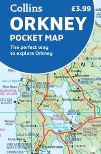
Sheet map folded. New. New Book; Fast Shipping from UK; Not signed; Not First Edition; Explore new places with handy pocket maps from Collins. Handy little full colour map of the Orkney Islands in Scotland. Detailed mapping and tourist information for Orkney mainland Westray Sanday Stronsay Shapinsay Hoy unknown
Référence libraire : ria9780008580049_inp ISBN : 0008580049 9780008580049
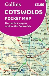
Sheet map folded. New. New Book; Fast Shipping from UK; Not signed; Not First Edition; Explore new places with handy pocket maps from Collins. Handy little full colour map of the Cotswolds. Detailed mapping and tourist information ideal for any road trip. unknown
Référence libraire : ria9780008520694_inp ISBN : 0008520690 9780008520694
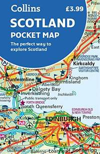
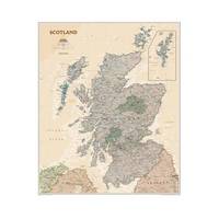
Sheet map folded. New. New Book; Fast Shipping from UK; Not signed; Not First Edition; Handy little full colour map of Scotland. Excellent value and very detailed for its size. Double-sided folded map with the Central Belt southern Scotland and northern England on one side and northern Scotland including Orkney and Shetl unknown
Référence libraire : ria9780008492571_inp ISBN : 0008492573 9780008492571
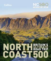
Hardback. New. New Book; Fast Shipping from UK; Not signed; Not First Edition; Highly illustrated full colour book showcasing what is unique about the North Coast 500. Striking images and descriptive text of the best places to visit are shown along with a simple route map showing locations. hardcover
Référence libraire : ria9780008547059_inp ISBN : 000854705x 9780008547059
Paperback / softback. New. New Book; Fast Shipping from UK; Not signed; Not First Edition; This pocket-sized street atlas of the Isle of Wight gives detailed coverage of the whole of the island and mainland towns nearby. paperback
Référence libraire : ria9781849076104_inp ISBN : 1849076103 9781849076104
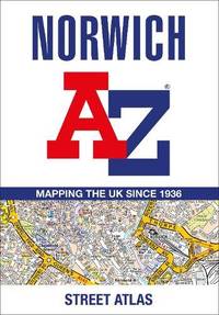
Paperback / softback. New. New Book; Fast Shipping from UK; Not signed; Not First Edition; Navigate your way around Norwich with this detailed and easy-to-use A-Z Street Atlas. Printed in full-colour paperback format this atlas contains 42 pages of continuous street mapping. More than 4500 streets indexed. Larg paperback
Référence libraire : ria9780008560454_inp ISBN : 0008560455 9780008560454
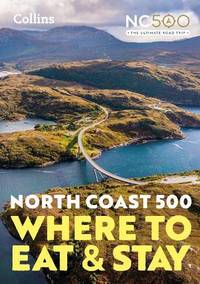
Paperback / softback. New. New Book; Fast Shipping from UK; Not signed; Not First Edition; A guide to the best places to enjoy the local Scottish cuisine and where to rest for the night along the famous North Coast 500. Elemental enchanting and inspiring the NC500 is Scotland’s most popular touring route a stunning 500 m paperback
Référence libraire : ria9780008547066_inp ISBN : 0008547068 9780008547066
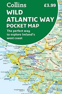
Sheet map folded. New. New Book; Fast Shipping from UK; Not signed; Not First Edition; Explore new places with handy pocket maps from Collins. Handy full-colour map of Ireland’s Wild Atlantic Way with a high level of detail. Clear mapping of the full 2500 km over 1500 miles route showing the road network unknown
Référence libraire : ria9780008580001_inp ISBN : 0008580006 9780008580001
Spiral bound. New. New Book; Fast Shipping from UK; Not signed; Not First Edition; Discover the best biking routes around Europe. The definitive European motorcycle touring bible with the best biking roads presented in 100 easy-to-follow tried-and-tested routes from motorcycle journalist author and trav unknown
Référence libraire : ria9780008547837_inp ISBN : 0008547831 9780008547837
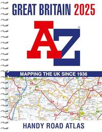
Paperback / softback. New. New Book; Fast Shipping from UK; Not signed; Not First Edition; Navigate your way around Great Britain with this detailed and easy-to-use A-Z Road Atlas paperback
Référence libraire : ria9780008652920_inp ISBN : 0008652929 9780008652920
Paperback / softback. New. New Book; Fast Shipping from UK; Not signed; Not First Edition; The A-Z Adventure Series of maps is the perfect companion for walkers off-road cyclists and anyone wishing to explore the great outdoors. paperback
Référence libraire : ria9780008660635_inp ISBN : 0008660638 9780008660635
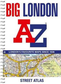
Spiral bound. New. New Book; Fast Shipping from UK; Not signed; Not First Edition; Navigate your way around London with this detailed easy-to-use and up-to-date A-Z Street Atlas. unknown
Référence libraire : ria9780008663506_inp ISBN : 0008663505 9780008663506
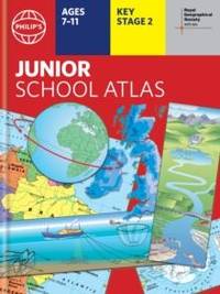
Hardback. New. New Book; Fast Shipping from UK; Not signed; Not First Edition; The market-leading atlas for pupils at primary schools Philip's RGS Junior School Atlas has been fully revised and updated for its 12th edition. hardcover
Référence libraire : ria9781849076883_inp ISBN : 184907688x 9781849076883
Thomas Brothers Maps. Used - Very Good. Very Good condition. Includes folding map. A copy that may have a few cosmetic defects. May also contain light spine creasing or a few markings such as an owner’s name short gifter’s inscription or light stamp. Thomas Brothers Maps unknown
Référence libraire : K03O-00472 ISBN : 0881306886 9780881306880
Collins 2012-03-29. Paperback. Good. 0.6995 in x 17.7865 in x 11.5912 in. Ex-library book usual marking. Clean copy in good condition. Collins paperback
Référence libraire : mon0000477029 ISBN : 000746455x 9780007464555
Bernard Geis Associates 1962. Super octavo hardcover VG in d/w VG-; all our specials have minimal description to keep listing them viable. They are at least reading copies complete and in reasonable condition but usually secondhand; frequently they are superior examples. Ordering more than one book may reduce your overall postage costs. Bernard Geis Associates 1962 hardcover
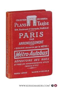
Paris: Cartes Taride ca. 1950. Original stiff wrappers. viii304 pp.; ills plans maps folding maps.; 14x10 cm. Text in French / Français - covers slightly worn previous owner's name bit browned Although very good see picture Cartes Taride unknown
 Recevoir par e-mail
 Télécharger en PDF
 Flux RSS