3.804 resultados
1809ref. 25336Imprimerie Impériale | Paris 1809-1829 | 70.50 x 53.50 cm | une feuille
1934ref. PHO-1749Paris : Librairie orientaliste Paul Geuthner, 1934-1938, 3 volumes in-8, brochage éditeur, XXXIV-486 pp.; 493 pp.;571 pp., petits défauts au brochage.
1809ref. 25831Imprimerie Impériale | Paris 1809-1829 | 71 x 54 cm | une feuille
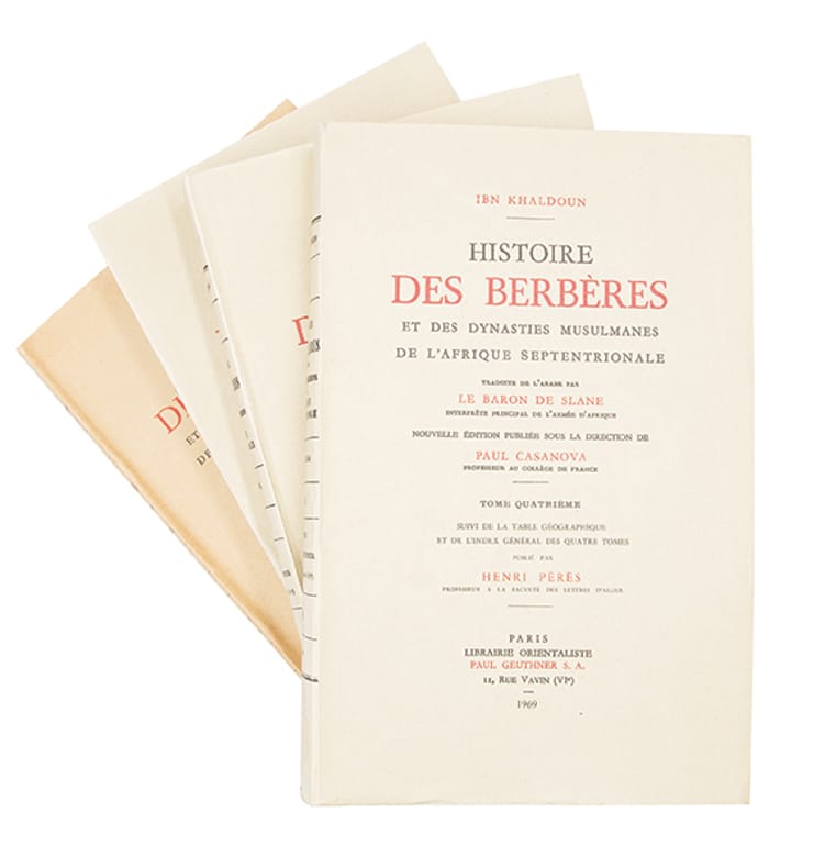
ref. 389744 volumes grand in-8 (252 x 163 mm), brochés, couvertures imprimées de l'éditeur. Paris, Librairie Orientale Paul Geuthner, 1968-1969.
1886ref. 0045711886 Paris, Hachette, 1886. Deux volumes in-8 (166 X 245 mm) demi-chagrin vert lierre, plats de toile chagrinée ornés d'encadrements à froid, dos quatre nerfs plats, caissons dorés, auteur, titre et tomaison dorés, tranches dorées (reliure de l'éditeur). Tome I : (2) ff. blancs, XII-467 pages, une planche dépliante, (2) ff. blancs - Tome II : (2) ff. blancs, (2) ff. de faux-titre et titre, 438 pages, 1 carte couleurs dépliante, 4 planches à double page, (2) ff. blancs. Quelques rousseurs, très éparses, plus marquées sur les premiers feuillets de chaque volume, début de fente de 5 cm en tête du mors supérieur du tome I, déchirure sans manque à la carte dépliante.
1869ref. 29518Aux bureaux de l'Illustration | Paris 1869 | 20.50 x 29 cm | broché
1833ref. 1462PARIS. DUCOLLET, LIBRAIRE-EDITEUR. 1833-1835. 7 VOLUMES IN-8 (13,5 X 21,5 X 20 CENTIMETRES ENVIRON) DE (4) + IV + 468, (4) + VIII + 416, (4) + 503, (4) + 440, (4) + 543, (4) + III + 478 ET (4) + 612 PAGES, RELIURE D'EPOQUE 1/2 VEAU HAVANE, DOS A QUATRE FAUX NERFS ORNE DE CAISSONS ENCADRES DE FILETS A FROID, FILETS DORES, TITRE DORE SUR ETIQUETTE MAROQUIN ROUGE. EDITION ORIGINALE DE LA CORRESPONDANCE DE MICHAUD ET POUJOULAT RELATANT LE VOYAGE JUSQU’EN GRECE, PUIS A CONSTANTINOPLE ET A JERUSALEM, EN PALESTINE, SYRIE ET EGYPTE. SANS LA CARTE REPLIEE QUI NE SEMBLE PAS AVOIR ETE RELIEE DANS L’OUVRAGE, D’ORIGINE. TACHE BRUNE SUR LA TRANCHE DU TOME 7, QUELQUES TRACES DE FROTTEMENTS, SANS GRAVITE, SINON BEL EXEMPLAIRE.
1695ref. PHO-2623Amsterdam, George Gallet, 1695, in-12 (16,5 x 10 cm), 8 ff. – 229 pp.- 2ff. (erreurs de pagination en fin d’ouvrage), basane de l’époque, dos à nerfs. Frottements, tache sur une planche, petit manque au plan de Larache, dernière garde coupée en biais.
1809ref. 25319Imprimerie Impériale | Paris 1809-1829 | 53.50 x 70.50 cm | une feuille
1839AN ABSOLUTELY OUTSTANDING COPY OF THE FIRST AND ONLY EDITION OF THIS EXTREMELY EARLY AND IMPORTANT EXPLICATION OF THE KORAN. 3 leaves; 192 pp + 43 pp Arabic text starting from the back of the book, with a separate title-page. A LARGE-PAPER COPY, BEAUTIFULLY PRINTED WITH HUGE MARGINS ON EXTREMELY FINE, THICK LAID PAPER. 4to. Original paper wraps. ENTIRELY UNCUT, FINE AND BRIGHT, LIKE NEW. Chauvin (X, 70) gives a long notice of this extremely important publication.
1846A PRISTINE LARGE-PAPER COPY OF THE FIRST AND ONLY EDITION. XII, 168 pp. + addenda leaf (often missing, but present here). An introduction to the Chronicon Samaritanum or Liber Josuae. A LARGE-PAPER COPY, beautifully printed (in Latin, with some Hebrew types) with huge margins on extremely fine, thick laid paper (this copy about twice as thick as normal copies). Large 4to. Original unprinted wraps. Uncut and unopened. Some wear and tear to wraps, INTERNALLY FINE AND BRIGHT, COMPLETELY FRESH, LIKE NEW.
1983ref. BN100032Wiesbaden : Harrassowitz 1983. 1983. Ergebnisse der Ausgrabungen auf der Hirbet el-M¨a¨ Tel Masos 1972-1975 - 3 Bände komplett Volkmar Fritz und Aharon Kempinski Abhandlungen des Deutschen Palästinavereins Ergebnisse der Ausgrabungen auf der Hirbet el-M¨a¨ Tel Masos 1972-1975 - 3 Bände komplett Volkmar Fritz und Aharon Kempinski Abhandlungen des Deutschen Palästinavereins Wiesbaden : Harrassowitz unknown
1838ref. 40347Crochard & Cie | Paris 1838 | 13 x 21.50 cm | relié
ref. 45679Paris Librairie de L. Hachette et Cie 1855 in 18 (13x8) 1 volume reliure cartonnée imprimée de l'éditeur, 61 pages [1], des rousseurs sur les premières et sur les dernières pages. Général Eugène Daumas, ex-colonel de Spahis, ex-directeur central des affaires arabes à Alger. Troisième édition. Bon exemplaire
1809ref. 25323Imprimerie Impériale | Paris 1809-1829 | 53.50 x 70.50 cm | une feuille
1809ref. 26101Imprimerie Impériale | Paris 1809-1829 | 71 x 53.50 cm | une feuille
1809ref. 26072Imprimerie Impériale | Paris 1809-1829 | 71 x 53.50 cm | une feuille
1809ref. 32854Imprimerie Impériale | Paris 1809-1829 | 71 x 53.50 cm | une feuille
1954ref. 87236Plon | Paris 1954 | 13.50 x 20 cm | broché
1809ref. 25937Imprimerie Impériale | Paris 1809-1829 | 71 x 54 cm | une feuille
1892ref. 0043551892 Paris, Calmann Lévy, 1892. Grand in-8 (199 X 280 mm) percaline bleue de l’éditeur reliée à la Bradel, premier plat illustré d’une plaque polychrome de Paul Souze avec l’auteur et le titre dorés, dos lisse orné d’un dessin polychrome, auteur et titre dorés, tranches dorées (Engel Rel.) ; XXIII-483 pages, 2 cartes dépliantes, (1) f. de table, (1) f. blanc. Petites taches d'encre noire au cartonnage, rousseurs aux premiers et derniers feuillets, sinon corps d'ouvrage frais.
1809ref. 25320Imprimerie Impériale | Paris 1809-1829 | 70.50 x 53.50 cm | une feuille
1995ref. x-075070487XFalmer Pr 1995. Hardcover. New. 1st edition. 297 pages. 9.75x6.50x1.00 inches. Falmer Pr hardcover
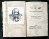
ref. 000903Hardcover. Good. Benjamin Duprat and others Paris 1851 first edition; large 8vo 170 x 240mm; pp lxxv 756 plus title to the plates section list of plates and the plates themselves together with a large folding map linen-backed of the area and dated 1845; the engraved plates with one exception are double page; the list calls for a total of ten plates including the portrait of the author and the folding map but one plate the first section of the double plate V is missing this featuring small items such as a stretcher a horse decoration and more; half brown morocco marbled sides skilfully rebacked with the original spine laid down and with appropriate new end papers; part of the marbled sides of the front cover scuffed; the early pages to about xv show the effects of some old wetting in the form of browning and with one page very skilfully repaired none with any loss of text or margins; neat small circular library stamps on the title and occasionally elsewhere including on the backs of the plates; occasional underlinings or brief notes in light pencil in the margins; overall a book in good condition generally clean and firm and not greatly affected by the matters mentioned; scarce in its original form as here. . . . Ouadây aka as Ouaddaï or Wadai is an area a former Sultanate in the east of Lake Chad and the border with Sudan. The Wadai Empire or Sultanate known locally as Burgu or Birgu emerged in the 17th century through conquest of the ruling Tunjur people of the area displacing them from the lands of the Sultanate of Darfur. It was overthrown by France in 1909/1912 and reconstituted under France in 1935. When Chad became independent in 1960 it became part of that new state. Its capital is Abéché. See Wikipedia for more detail. hardcover
1929Very Good Turkish Original manuscript color map of Middle East including Syria, Palestine and Transjordan. Signed by cartographer. 28x20 cm. In Turkish (with Latin letters). The Mapping Department, which moved to Ankara from Istanbul after the Independence War, settled in the Attar Basi Khan in Koyunpazari and the press section also started its studies in the building which is the Art School in Ulus today. In 1924, the department, which is still inside the General Directorate Garrison, moved to the hut-shaped buildings with single floor between the Military Sewinghouse and the General Directorate. On the other hand, the production of maps and plans, which were to be used in development services carried out in parallel to the revolutions starting with the declaration of the Republic and following each other, was considered to be based on a legal arrangement. Because of the necessity of an urgent legal arrangement, the bill of law concerning to the General Directorate of Mapping, whose preparations were initiated by Lieut. Gen. M. Sevki (Ölçer) who knew the importance of the subject, was sent to the Ministry of Defense at the beginning of 1925. After the approval of Ministry of Defense, the bill, which was sent to the Prime Ministry, was discussed in the Council of Ministers and presented to the Grand National Assembly of Turkey. As a result; the Mapping Department was re-organized as the General Directorate of Mapping affiliated with the Ministry of Defense with the law bearing the number 657 on May 2, 1925 in order to do all mapping works and meet the needs of maps and plans of all ministries, institutions and organizations. [.] The first application of photogrammetry was made in Kayas, Ankara with the Wild Autograph plotting apparatus which was purchased in that year. Captain Ömer Kadri and Captain Niyazi came back from their photogrammetry education in Germany. Major Halit and Major Nüzhet were sent to France for photogrammetry education and Captain Ishak and Captain Bahri were sent to Germany. Captain Ahmet (Denkmen) and Captain Ömer Kadri attended the Congress of Photogrammetry assembled in Berlin. (Source: The Illustrated History Of Turkish Cartography). Halid Ziya was born in Izmir, Tire. He went to Istanbul and continued to Hendese-i Mülkiye and Engineer Mekteb-i Âlîsi for seven years. After starting with "Aydin Province Umur-i Nafia Third Class Engineering", Halid Ziya Bey, who continued to work as a deputy chief engineer on 14 March 1910, left Aydin and returned to Istanbul after continuing this duty for about six and a half months. As a teacher, he taught Accounting, Algebra, Geometry, and Topography at Halkali Ziraat Mekteb-i Âlîsi and Darussafaka. Halid Ziya Bey, who was appointed as a teacher of Hendese and Cosmography in Kabatas High School, started to practice the profession of engineering and cadastral, which was his main specialty in 1327. After the First World War, the Istanbul Government started its activities in order to capture and neutralize Halid Ziya Bey and his friends. Upon the harsh measures taken, Halid Ziya Bey had to live as a fugitive in the Hasirci Mountains of Eskisehir for a while with the armed force attached to him. Halid Ziya Bey, who was involved in the movement in Anatolia until the end of the National Liberation Struggle, returned to his engineering duty after the proclamation of the Republic and was included in the cadastral works again. In 1925, Halid Ziya Bey was appointed as the Head of the Science Committee of the new cadastre organization. He wrote 5 books on cadastre, photogrammetry, trigonometry, and cadastral tools in 1928 and 1929. In addition, as a result of personal work in 1928, the road between the provincial division of the Republic of Turkey with cities has prepared a comprehensive map to show up in the forest and mining. (Source: Kadastro ne idi, nedir, ne olacaktir, Kadioglu - Yildirir. From Preface.). No scale.