2506 risultati
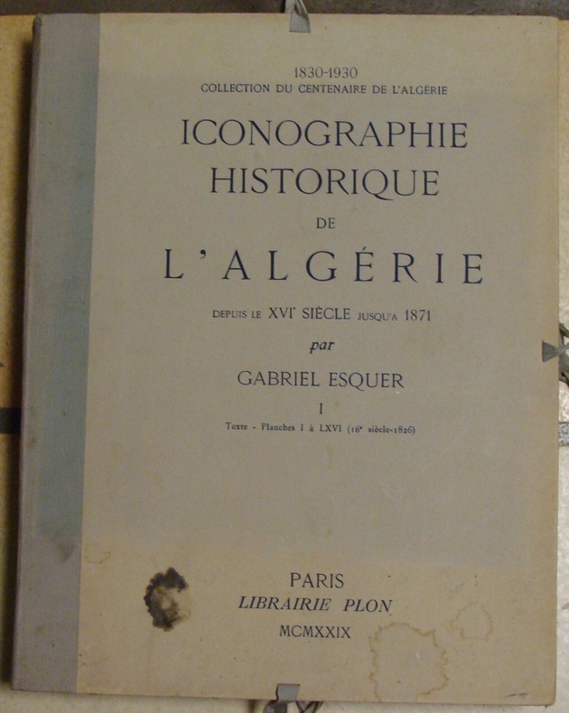
rif. 21947PARIS, Lib. Plon - 1929 - Complet en 3 Portefeuilles(usagés) In-folio, 35,5 x 46 cm - Dos toile, cordons de fermetures conservés -XXXVII-110 pages + Errata - 327 planches sur 354 - Malgré tout bel ensemble constituant une iconographie de plus de mille documents - Bon état général.
PARIS, Lib. Plon - 1929 - Complet en 3 Portefeuilles(usagés) In-folio, 35,5 x 46 cm - Dos toile, cordons de fermetures conservés -XXXVII-110 pages + Errata - 327 planches sur 354 - Malgré tout bel ensemble constituant une iconographie de plus de mille documents - Bon état général. Certainement la meilleure icionographie sur l'algérie d'avant et pendant la conquête française
rif. 123AQUARELLE SUR PAPIER FORMAT 65 X 50 CENTIMETRES ENVIRON, MAROUFLEE SUR TOILE. SIGNEE, DATEE 1906 ET LEGENDEE EN BAS A DROITE. CETTE BATAILLE DECISIVE EUT LIEU EN FAIT LE 16 JUILLET 1212, ENTRE LES CHRETIENS COMMANDES PAR LES ROIS D'ARAGON, DE CASTILLE ET DE NAVARRE, ET LES MAURES AUX ORDRES D'EBN-ABD-ALLAH, ROI ALMOHADE DU MAROC. LES CHRETIENS FURENT VAINQUEURS (LE NOM COURANT DE LAS NAVAS DE TOLOSA EST EL HOSPITALILLO).
1928Very Good Turkish, Ottoman (1500-1928) Contemporary fine dark green cloth bdg. Art-nouveau decorations embossed on boards. Roy. 8vo. (24 x 17 cm). In Ottoman script. 734, [2], [1] p., index. The Scopes trial (1925) fuelled discussion in the United States on the social and political implications of Darwinism. For the defenders of the 1925 Tennessee law - which prohibited the teaching of Darwinism in schools - Darwinism was, amongst other things, responsible for the German militarism which eventually led to the First World War. This view was supported by Ismail Fennî, a late Ottoman intellectual, who authored this book immediately after the trial which aimed to debunk scientific materialism. In it, he claimed that Darwinism blurred the distinction between man and beast and thus destroyed the foundations of morality. However, despite his anti-Darwinist stance, Ismail Fennî argued against laws forbidding the teaching of Darwinism in schools and emphasized that even false theories contributed to the scientific improvement. Indeed, because of his belief in science, he claimed that Muslims should not reject Darwinism if it were supported by future scientific evidence. It is composed of 7+1 chapters to criticize the materialist and positivist philosophical movements and especially the work of the positivist German philosopher Ludwig Bücher 'Kraft und Stoff'. The first part of the book focuses on the evidence presented of the proof of god in the Western and Islamic philosophies. In the second chapter, the issue of immortality of soul and spirit is addressed. In the third chapter, 'the wahdat al-wujud' (vahdet-i vücûd) current is examined. The fourth chapter, examined some famous scholars' thoughts about the matter, materialism, laws of nature, etc. In the fifth chapter, the work of the positivist German philosopher Büchner 'Kraft und Stoff', in the sixth chapter, monism (monism), in the seventh ch. positivism is criticized. In the last ch., there are descriptions and some thoughts on the theory of evolution and the Indian fakirs (fakers). Ismail Fenni Ertugrul was a Turkish mystic, philosopher, writer, musician, lyricist, and composer. He studied traditional madrasah education and learned Arabic and Persian. He was in various state posts. After the retirement, he began to be interested in poetry, music, and philosophy. Before his death, he donated his library including 9050 books to the Library of Beyazit. (Source: An Ottoman response to Darwinism: Ismail Fennî on Islam and evolution, Bilgili). First and Only Edition. Extremely rare. Özege 11879. Alper 195.
rif. 21195o.J. 80 Blatt schwarzer Karton , beidseitig je Seite mit 4 - 6 Bildern beklebt. Format der Bilder: ca. 8, 5 x 7 cm. Kurze und säuberliche handschr. Notizen. Quer groß-8°, (ca.35x 25 cm), grüne Leinwand. Einband sauber und schön.
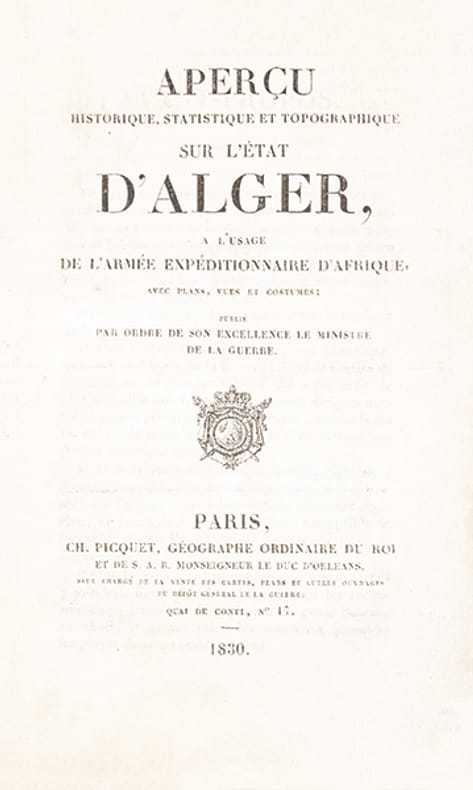
rif. 388922 volumes: un volume de texte in-12 (180 x 110 mm), broché, couverture imprimée, (4), xiii, 256 p. et un volume d'atlas in-folio oblong (265 x 347 mm), 6 cartes et plans dépliants et 11 planches. Paris, Charles Picquet géographe du roi (…), 1830.
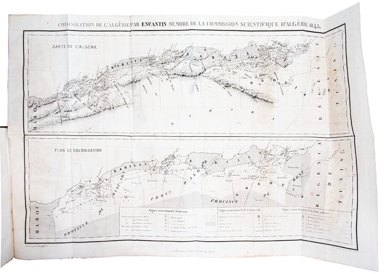
rif. 39394In-8 (225 x 142 mm), demi-chagrin bordeaux, pièce de titre de veau bronze (rel. moderne), (4), 542 pages, 4 pages de catalogue, grande carte (42 x 66 cm) et tableau statistique dépliants. Paris, P. Bertrand, 1843.
rif. 37350Paris Librairie de Firmin Didot et Cie 1883 in 4 (28,5x21) 1 fort volume reliure cartonnage polychrome orné de l'éditeur, dos de chagrin rouge orné d'un riche décor géométrique doré et polychrome, plats de percaline entièrement ornés d'un très riche décor doré et polychrome avec rosace géométrique centrale, dos et plat supérieur titrés en lettre dorées, tranches dorées (goutière parfaite), II [1] 708 pages, illustré plus de 200 gravures sur bois, dont 22 hors-texte, de 4 chromolithograhies hors-texte, et de 3 cartes dépliantes en couleurs in fine. Très bel exemplaire, cartonnage très frais ( Photographies sur demande / We can send pictures of this book on simple request )
rif. 244261[Alger], (1865) in-4, 2 pp. (recto-verso), grande vignette lithographiée aquarellée en-tête Petite déchirure à la pliure. Manque la fin de la lettre qui devait comprendre la signature.
rif. 208355S.l., s.d. (1909-1911) in-4, 43 ff. anopisthographes, ff. 45-86, puis ff. 88-112 ; 35 ff. (Journal de marche de la première colonne), en feuilles, cousu.
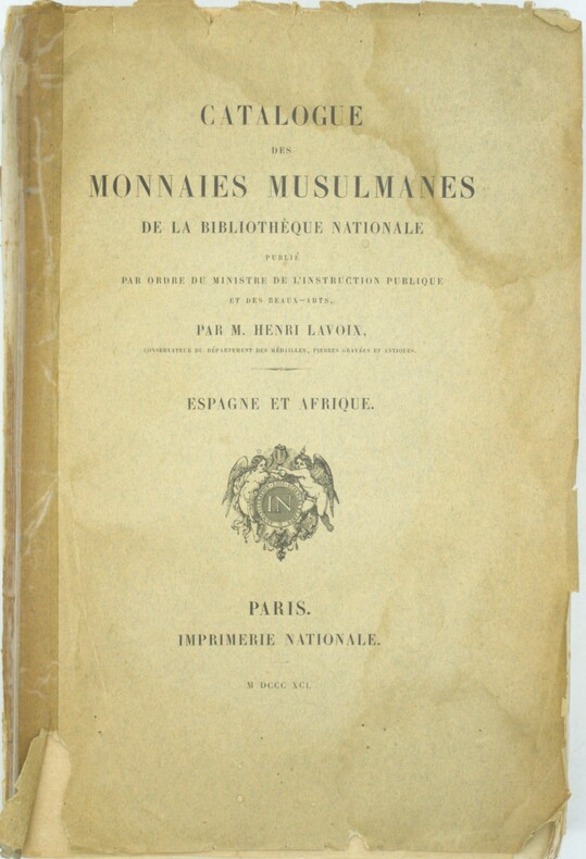
1891rif. PHO-2099Paris, Imprimerie nationale, 1891. In-8 (27x18cm), [4] ff., XLVII, 571 pp., XIV planches hors texte gravées. Brochage éditeur, première de couverture détachée, manque la dernière de couverture, papier uniformément bruni, légères rousseurs. Très rare
rif. 225735Paris, Henri Plon, 1866 - 1872 3 parties en un fort vol in-4, [2] ff. n. ch., XXVII pp., 342 pp., un f. n. ch., 402 pp., un f. n. ch. de table, [2] ff. n. ch., ij pp., 118 pp., un f. n. ch. de table [Suplément et tables]. demi-chagrin noir, dos à nerfs orné de filets à froid et de fleurons dorés, simple filet à froid sur les plats (reliure de l'époque).
1929rif. 594PARIS. PLON. (1830-1930. COLLECTION DU CENTENAIRE DE L'ALGERIE. ARCHEOLOGIE ET HISTOIRE). 1929. 3 PORTEFEUILLES IN-FOLIO (35,5 X 46 CENTIMETRES ENVIRON) DE (4) + XL + 113 + (4) + (4) PAGES ET 354 PLANCHES HORS TEXTE EN NOIR ET EN COULEURS, RELIURE 1/2 PERCALINE GRISE, PLATS CARTONNES, TITRE IMPRIME EN NOIR, FERMETURE A LACETS. COLLATIONNE COMPLET DE TOUTES SES PLANCHES. QUELQUES PETITES TACHES SUR 2 PLATS, SINON BEL EXEMPLAIRE.
1910Very Good Turkish, Ottoman (1500-1928) Original illustrated wrappers. Cr. 8vo. (20 x 13 cm). In Ottoman script (Old Turkish with Arabic letters). 220, [2] p., 41 unnumbered plates (incl. 68 b/w photos), and 3 maps. Pages are partly untrimmed and uncut. Slight stains on cover and wear at spine. Overall a good copy. Roumi: 1326 = Hegira: 1327 = Gregorian: 1910. First and only edition of this extremely rare book, including a historically significant eyewitness account of Cami Baykurt, who was an Ottoman officer during the Tripoli War (1911-1912), describing the flora, and the fauna in the Sahara desert and around Libya; the Bedouins and their customs with their social life, their culinary culture and their special drinks in his book during his travels to the south of Libya, to the Fezzan region, to participate in the Ottoman military operations at the fortress of Ghat, serving as a commander and governor. This book was prepared to present Tripoli, located in the Libyan lands today, Fezzan in the south, and the desert roads in between to the Ottoman court as well as the intelligentsia. Baykurt was a Turkish politician and soldier who served as deputy of the first period of the Turkish Republican Parliament. He was the first minister of Turkish foreign affairs in the Republican period. He had participated as an officer in the Battle of Tripoli back in the day. The provinces of Tripoli and Fezzan were accepted as destinations of exile in the last period of the Ottoman Empire. The province of Tripoli, the last center of a few Ottoman sanjaks, had been the granary of ancient Rome in the past with its large villages. Özege 21177.; Kursun p. 294.; Not in ATYB I (Askeri Tarih Yayinlari Bibliyografyasi).; OCLC 165148162 (with some misread and misspelled words; Kursun mentioned in his bibliography those misread words, especially 'Kazan mebusu -deputy of Kazan- instead of a deputy of Fizan about his title in some catalogs like OCLC. Kursun has a short but useful biography of Câmî).
rif. 100777Paris, Imprimé par autorisation de M. le Garde des Sceaux à L'Imprimerie Nationale, 1875-1881, 2 volumes in-folio de 330x245 mm environ, tome I : xx-609 pages - tome II : iv-381 pages, demi basane vert sapin, dos à nerfs portant et tomaisons dorés, gardes marbrées. Des rousseurs, cartonnage et cuir frottés, coupes et coins émoussés, des épidermures, des tampons sur les deux volumes.
rif. 14773Paris Gide et J. Baudry, Libraires-éditeurs 1849 grand in 8 (27x18) 1 volume reliure demi basane bleue de l'époque, dos lisse, filets dorés, 339 pages, une grande carte hors-texte dépliante (carte de la contrée parcourue par la colonne du général Cavaignac) et 5 planches lithographiées en deux teintes. Petites épidermures au dos de la reliure, et petite restauration marginale sur la grande carte, sinon bon exemplaire, enrichi d'un envoi autographe signé du Général Cavaignac: l'auteur à Mr l'intendant Mr Darricau (sur le faux-titre) Général Louis-Eugéne Cavaignac 1802-1857. Chef du pouvoir éxécutif du 24 juin au 26 décembre 1848
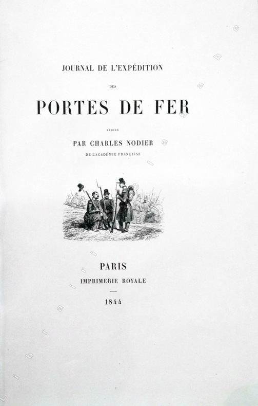
1844rif. 13368Paris, Imprimerie Royale, 1844 ; grand in-8 ; cartonnage à la bradel de l'éditeur ; [4], XVI, 329 pp., [1] f. blanc, 40 planches hors-textes tirées sur chine contrecollées, protégées par des serpentes légendées et une carte dépliante en fin d'ouvrage et 200 vignettes gravées sur bois dans le texte.
1942rif. 0054881942 Pour les Amis du Docteur Lucien-Graux, [1942]. Grand in-quarto (336 X 261 mm) en feuilles sous couverture décorée en couleurs au premier plat, chemise et étui de l'éditeur. Quelques rares rousseurs dans les barbes, plats de la couverture en partie et très légèrement ombrés.
rif. 206201Paris, Michel Lévy frères, 1855 2 vol. in-8, XXVI-[2]-572 pp. ; [2] ff. n. ch., 606 pp., avec un portrait-frontispice lithographié et un fac-similé dépliant, chagrin noir, dos à nerfs ornés de pointillés, filets, guirlandes et caissons dorés, encadrement de triple filet et guirlande dorés sur les plats, pointillé doré sur les coupes, tranches dorées, dentelle intérieure (reliure de l'époque).
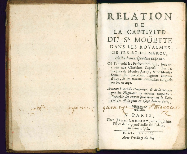
1683rif. 4663Paris, Jean Cochart, 1683. 1683 1 vol. in-12° de: [6] ff. ; 362 pp. (dont 33 pp. de dictionnaire de langue arabe) ; [5] ff. Ex-libris manuscrit à l'encre brune sur le titre "Quincy St Maurice". (ff. 59 à 62 anciennement maintenu par une épingle, petite trace de mouillure claire à l'angle inférieur des 20 premiers ff., quelques rares taches, sinon frais). Plein veau d'époque, dos à nerfs orné et titré à l'or, roulette dorée sur les coupes, tranches jaspées rouges.
1871Very Good Turkish, Ottoman (1500-1928) Original cloth bdg. with marbled boards. Cr. 8vo. (20 x 13,5 cm). In Ottoman script (Old Turkish with Arabic letters). 176, [1] p. Lithographed edition. Extremely rare first and only edition of this guide to the distances and meridian calculations of some cities from Batumi located on the shores of Black Sea, Europe until Great Britain, Asia, and Africa shores, prepared for Turkish naval officers, mariners, and vessels, describing the shores of the countries located on these routes. ABOUT THE AUTHOR: Ibrahim Edhem Pasha was an Ottoman statesman, who held the office of Grand Vizier at the beginning of Abdul Hamid II's reign between 5 February 1877 and 11 January 1878. He resigned from that post after the Ottoman chances of winning the Russo-Turkish War (1877-1878) had decreased. He furthermore served in numerous administrative positions in the Ottoman Empire including minister of foreign affairs in 1856, then ambassador to Berlin in 1876, and to Vienna from 1879 to 1882. He also served as a military engineer and as Minister of Interior from 1883 to 1885. In 1876-1877, he represented the Ottoman Government at the Constantinople Conference. He was born in Chios of Greek ancestry, in a Christian Greek Orthodox village on the island of Chios. Strangely, his connection to Chios is not well-documented: his son Osman Hamdi Bey claimed that he was a member of the Scaramanga family, but Edhem Pasha himself tried to efface his Greek connections. As a young boy in 1822, he was orphaned and captured by Ottoman soldiers during the massacre of the Greek population of Chios. He was sold into slavery, brought to Constantinople, and adopted by the (later) grand vizier Hüsrev Pasha. Lacking his own children and family, Hüsrev Pasha raised about ten children who had been orphaned or bought as slaves, many of whom ascended to important positions. The child, now named Ibrahim Edhem, quickly distinguished himself with his intelligence and after having attended schools in the Ottoman Empire, he was dispatched along with a number of his peers, and under the supervision of his father, then grand vizier, and of the sultan Mahmud II himself, to Paris to pursue his studies under state scholarship. There he returned with a Bachelor of Arts and was one of the top pupils at the École des Mines. He was a classmate and a friend of Louis Pasteur. He thus became Turkey's first mining engineer in the modern sense, and he started his career in this field. Edhem Pasha was the father of Osman Hamdi Bey, a well-known archaeologist, and painter, as well as the founder of the Istanbul Archaeology Museum and the Mimar Sinan Fine Arts University. Another son, Halil Edhem Eldem took up the archaeology museum after Osman Hamdi Bey's death and has been a deputy for ten years under the newly founded Turkish Republic. Yet another son, Ismail Galib Bey, is considered the founder of numismatics as a scientific discipline in Turkey. Later generations of the family also produced illustrious names. The architect Sedat Hakki Eldem, a cousin, is one of the pillars of the search for modern architectural styles adopted by the Republic of Turkey (called the Republican style in the Turkish context) in its early years and which marks many important buildings dating from the period of the 1920s and the 1930s. A great-grandson, Burak Eldem, is a writer while another, Edhem Eldem, is a renowned historian. More names include Erol Eldem, Tiana Eldem, Levent Eldem, and Ercan Eldem, an architect. (Source: Wikipedia). Özege 4522.; Only one copy in OCLC: 162837008 (Bayerische Staatsbibliothek).
1909Very Good Turkish, Ottoman (1500-1928) Extremely rare huge chromo-lithograph map in 24 sheets mounted on canvas, showing a large zone including Midyat (Mardin), Mosul, Mt. Cilo (Resko-Buzul) on the southeast; Kahta (Adiyaman), Munzur Mt., Divrigi (Sivas) on the west; the Black Sea on north and Turkish borders to Armenia, Azerbaijan on the east, and to Russia on the northeast. In addition shows in separate little portions, roads, mountains and hills, lakes, and telegraph and post ways and borders in that zone. Not in any libraries and any collection. An attractive map with its huge size and decorative surface. Several toponyms are underlined in red ink. Otherwise a very good example. Original folded map mounted on canvas. 118x112 cm. In Ottoman script (Turkish with Arabic letters). Scale: 1/630.000.
rif. 14367Paris Albert Lévy, Editeur. Librairie Centrale des Beaux-Arts (sans date, vers 1920) 1920 in folio (37x27) 1 volume en faux-feuillets sous chemise à lacets de l'éditeur, dos de percaline violette, page de faux-titre et page de titre, 4 pages de texte, suivies de 50 planches en couleurs montées sur papier fort, avec légendes imprimées (50 mounted plates in color). Collationné complet (complete). Très bel exemplaire
1730Very Good Turkish, Ottoman (1500-1928) Original b/w map from Kitab-i Cihannuma which is one of the most important Turkish incunabula. Oblong large 4to. (31 x 37 cm). In Ottoman script. It shows Venice and Venetian Bay and Algerian shores at North Africa (Maghrib). Toponyms are in Turkish with Arabic letters. Written directions (Simal, Cenûb, Sark and Garb) on corners of the map, and decorative compass on Mediterranean Sea. Scale can be seen at left upper side (El-mikyas: Mil-i Islâmiyân Mil-i Frençe, and Mil-i Italiya]. It's one of the thirteen maps and plates from the book of Cihannuma. The story of Cihannuma can be considered as an effort to keep up with the speed that knowledge spread around the world at a time when literacy was highly limited. Kâtip Çelebi began to rewrite Cihannuma in 1654. During the next six years, he added to his books the knowledge he gained from the books he read. Kâtip Çelebi was vastly influenced by nonreligious positive knowledge, especially by the Atlas and later the Atlas Minor of Gerardus Mercator. He had the book translated from Latin to Turkish by a French recruit andenriched his own book with the new information. He brought together in Cihannuma the knowledge of geography and astronomy existing in Western sources (1654). Cihannüma has 13 charts and 27 maps. Mercator's maps are distinguished by their distinct properties. However, there are such maps which depict Istanbul, Anatolia, the Caucasus and the Orient that have to have been borrowed from other sources and there are those with relatively less detail that might have been prepared by Muslim geographers. Sources cite Ahmed El Kirimî (Ahmed the Crimean) and Galatali Migirdich as mapmakers for Cihannüma. Their names are placed on the maps. Another name that is mentioned is Tophaneli Ibrahim. Researchers agree on the fact that he is Ibrahim Müteferrika. Perhaps he wished to hasten the printing of the book. Perhaps he enjoyed making this contribution to a book he half owned. There is one map in Cihannüma which definitely does not belong to Mercator. Nor is there any information that it was originally charted by Müteferrika's team. Historians state that the 'invertedness' can be found in other maps made by Muslim cartographers. Since it is amap of Turkey, the difference can easily be perceived. The Mediterranean coasts of Turkey are at the top of the map while the Black Sea coasts are at the bottom. The compass on the map correctly indicates the North. The map seems to be inverted but it is not considered scientifically wrong to draw maps in this fashion...". (Source: Boyut; Kitab-i Cihannuma). Extremely rare.
rif. 2313261836 12.5 x 44.5 cm - 15.9 x 26.5 cm - 14.6 cm x 27 cm , Encadrement contemporain.