MAS LATRIE (Louis de).Livre Rare Book

16.533 Ergebnisse
Best.-Nr. 225735Paris, Henri Plon, 1866 - 1872 3 parties en un fort vol in-4, [2] ff. n. ch., XXVII pp., 342 pp., un f. n. ch., 402 pp., un f. n. ch. de table, [2] ff. n. ch., ij pp., 118 pp., un f. n. ch. de table [Suplément et tables]. demi-chagrin noir, dos à nerfs orné de filets à froid et de fleurons dorés, simple filet à froid sur les plats (reliure de l'époque).
1955Best.-Nr. 2111902160200456Matsumoto shiyakusho 1955. Soft Cover. Fine. Volume: 1 Matsumoto shiyakusho paperback
1942Best.-Nr. 2090502126800635Shoko gyosei-sha 1942. Soft Cover. Fine. Number of pages: 182 pages Size: 46 size Shoko gyosei-sha paperback
1738Best.-Nr. 482831Leipzig, Langenheim, 1738. 4to. 3 Bl., 38 S. Rückenfalz.
1963tela edit. con sovrac. ill., rotture, piccole mancanze e lievi bruniture alla sovrac., rare fioriture
2018Best.-Nr. Gyan-9789353587291Facsimile Publisher 2018. Hardcover. New. 22.59 x 14.34 x 4.03 cm. English Facsimile Publisher hardcover
2018Best.-Nr. Gyan-9789353587291Facsimile Publisher 2018. Hardcover. New. 22.59 x 14.34 x 4.03 cm. English Facsimile Publisher hardcover
Best.-Nr. 0364950366.Ghardcover. Good. Access codes and supplements are not guaranteed with used items. May be an ex-library book. hardcover
Best.-Nr. 1332428487.Gpaperback. Good. Access codes and supplements are not guaranteed with used items. May be an ex-library book. paperback
1960Best.-Nr. 17659Boston: Massachusetts Department of Commerce 1960. Color pictorial folding map. Near Fine. A richly illustrated mid-century Massachusetts travel map by Ernest Dudley Chase blending tourism promotion with pictorial cartographic design. Issued by the Massachusetts Department of Commerce around 1960 this vibrant folding travel map presents the Bay State as a year-round destination through detailed pictorial cartography by Ernest Dudley Chase. Equal parts guide souvenir and promotional artifact it reflects the optimism and visual clarity of postwar American state tourism design. Physical Description: Color pictorial map printed on a single sheet folding to approximately 8.5 × 5.5 inches and opening to 33.5 × 21.25 inches approx. 51 × 82 cm. Illustrated throughout with labeled vignettes pictorial index to points of interest mileage table covered bridge index beach directory calendar of events and state forests and parks. Includes inset map of Greater Boston and extensive color halftone illustrations on the verso. Printed form designation: Form 97 50M-9-60-928745. Condition: Paper clean and supple with bright color retention throughout. Text and imagery crisp and fully legible. Minimal handling wear and a faint even age-toning consistent with paper stock. No tears stains or losses observed. First state tourism issue. Scarcity Note: Examples survive but well-preserved copies with strong color and no structural issues are increasingly difficult to locate. Maps by Ernest Dudley Chase remain actively collected within the pictorial cartography field. This map exemplifies Ernest Dudley Chase's mature style characterized by densely composed yet legible illustrations that balance informational clarity with visual charm. Towns landmarks recreational areas and historic sites are rendered through small carefully captioned scenes that invite close inspection. The design functions both as a navigational aid and as a narrative portrait of Massachusetts presenting history leisure and modern infrastructure as a cohesive cultural identity. --- Contextual / Historical Significance: Produced during the postwar expansion of domestic tourism the map reflects a broader effort by American states to promote regional identity through graphic design. Chase's work occupies a key position within mid-20th-century pictorial cartography bridging traditional mapmaking with illustration and popular graphic culture. Subjects: Massachusetts Tourism State-Sponsored Travel Promotion Mid-Century Graphic Design Illustrated Maps Ernest Dudley Chase New England Cultural History Pictorial Cartography Travel Ephemera Americana. Bibliographic References: "A Meticulous Maker of Maps" biographical study of Ernest Dudley Chase OCLC/WorldCat listings for Ernest Dudley Chase pictorial maps and state tourism publications. Massachusetts Department of Commerce unknown
Best.-Nr. 026000409X.Ghardcover. Good. Access codes and supplements are not guaranteed with used items. May be an ex-library book. hardcover
Best.-Nr. 0265262496.Gpaperback. Good. Access codes and supplements are not guaranteed with used items. May be an ex-library book. paperback
1960Best.-Nr. 17659Boston: Massachusetts Department of Commerce 1960. Color pictorial folding map. Near Fine. A richly illustrated mid-century Massachusetts travel map by Ernest Dudley Chase blending tourism promotion with pictorial cartographic design. Issued by the Massachusetts Department of Commerce around 1960 this vibrant folding travel map presents the Bay State as a year-round destination through detailed pictorial cartography by Ernest Dudley Chase. Equal parts guide souvenir and promotional artifact it reflects the optimism and visual clarity of postwar American state tourism design. Physical Description: Color pictorial map printed on a single sheet folding to approximately 8.5 × 5.5 inches and opening to 33.5 × 21.25 inches approx. 51 × 82 cm. Illustrated throughout with labeled vignettes pictorial index to points of interest mileage table covered bridge index beach directory calendar of events and state forests and parks. Includes inset map of Greater Boston and extensive color halftone illustrations on the verso. Printed form designation: Form 97 50M-9-60-928745. Condition: Paper clean and supple with bright color retention throughout. Text and imagery crisp and fully legible. Minimal handling wear and a faint even age-toning consistent with paper stock. No tears stains or losses observed. First state tourism issue. Scarcity Note: Examples survive but well-preserved copies with strong color and no structural issues are increasingly difficult to locate. Maps by Ernest Dudley Chase remain actively collected within the pictorial cartography field. This map exemplifies Ernest Dudley Chase's mature style characterized by densely composed yet legible illustrations that balance informational clarity with visual charm. Towns landmarks recreational areas and historic sites are rendered through small carefully captioned scenes that invite close inspection. The design functions both as a navigational aid and as a narrative portrait of Massachusetts presenting history leisure and modern infrastructure as a cohesive cultural identity. --- Contextual / Historical Significance: Produced during the postwar expansion of domestic tourism the map reflects a broader effort by American states to promote regional identity through graphic design. Chase's work occupies a key position within mid-20th-century pictorial cartography bridging traditional mapmaking with illustration and popular graphic culture. Subjects: Massachusetts Tourism State-Sponsored Travel Promotion Mid-Century Graphic Design Illustrated Maps Ernest Dudley Chase New England Cultural History Pictorial Cartography Travel Ephemera Americana. Bibliographic References: "A Meticulous Maker of Maps" biographical study of Ernest Dudley Chase OCLC/WorldCat listings for Ernest Dudley Chase pictorial maps and state tourism publications. Massachusetts Department of Commerce unknown books
1978bross. edit. ill., firma di appartenenza
1989135 pages including index. In this tribute to a city he loves, author provides both a history and a character study, describing Glasgow at different moments in time: the medieval city; the eighteenth-century expansion; the mid-Victorian heyday; the Edwardian sunset; the Depression of the 1930s; post-war decline; the renaissance of the 1980s. Examines the economic function of the city at each of these periods, drawing attention to characteristic architecture and to representative individuals, posing questions about the relation of Glasgow to the rest of Scotland, and exploring the paradox that Europe's City of Culture should have owed its wealth to its trade with the New World, and should be arguably the easternmost American city. Illustrated with black and white colour plates. Gift inscription upon half-title page else unmarked. Minimal wear. Excellent copy. Book
Best.-Nr. DADAX0521621291New unknown
1982Best.-Nr. ra409Sous le vent Cartonné avec jaquette 1982 In-4, (32.5x25 cm), cartonné sous jaquette illustrée, non paginé, illustrations en couleurs et en noir et blanc, édition épuisée ; petites déchirures sur la jaquette, assez bon état. Livraison a domicile (La Poste) ou en Mondial Relay sur simple demande.
1834Best.-Nr. 35503422Paris, Mme Huzard, 1834 ; in-8, broché, couv. imprimée. 82 pp.Imprimé à Nancy chez Haener. Première édition sous ce titre. Concerne l’industrie vinicole et ses rapports avec les autres industries du pays, des considérations sur le commerce, l’industrie, les douanes, la politique commerciale de la France.L’auteur, célèbre agronome né à Nancy en 1777 mort dans la même ville en 1843 fut le directeur de la ferme expérimentale de Roville.
1920Best.-Nr. GITc439Paris Félix Alcan 1920. Grand in-8 broché 399pp. Avec un fac similé de document sur double page. Petit manque en bordure du 2e plat de couverture et au bas du dos, non coupé, bien complet de son fac similé.
1998Best.-Nr. 149843Couverture souple. Broché. 128 pages.
1797Best.-Nr. PHO-1058Paris : De l'Imprimerie de Hautbout l'aîné, l'an V [1797]. In-12, veau blond, dos lisse orné, tranches rouges (reliure de l'époque). Manques à la coiffe de tête, coins émoussés, trou de ver à un mors. Édition originale de la traduction française de cette relation de voyage en Afrique composée de 8 lettres dans lesquelles l'auteur abordera les différents aspects de la Sierra Leone et notamment la traite des noirs.
1884802 p. + Colored maps; engraved portrait illustrations; and plates showing architecture, etc. Title page loose and torn with some text loss. 4to. All edges gold gilt. Boards detached; spine lacking. The colored maps and architectural plates really make this a stand out among PA county histories. PA 1
19624to, First Edition, with numerous photographs throughout; blue cloth, gilt back, a near fine copy in dustwrapper.
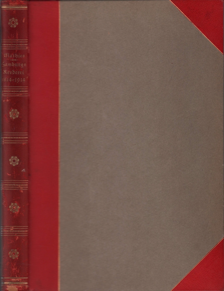
1924Best.-Nr. 59399Hamburg, L. Friederichsen, 1924. XI, 298 S. Mit zahlr. Abb. im Text u.a. Taf. Gr.-8vo. 28 cm. Rotes OHALBLEDER mit Goldpräg. u. Kopffarbschnitt i. orig. Pappschuber (dieser gebräunt u. angerändert).