596 résultats
1967réf. 2309280029Haack Gotha 1967. Maps. Very Good. 122 x 210 cm. Color map mounted on muslin wood rods top and bottom. Cartography by Olbricht and Haefke. Relief shown by contours shading gradient tints and spot heights. Depths shown by gradient tints and soundings. "VLN 1001 . Nr.8/64/67-10/67-1000." Scale 1:20000000. Note: This is a large heavy map. Additional postage will apply depending on delivery location Haack, Gotha unknown
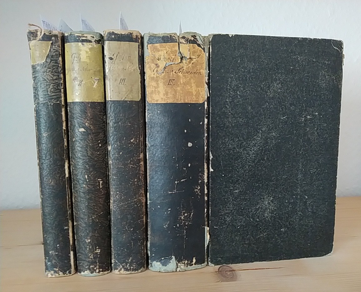
1855réf. 160018Gotha: Friedrich Perthes 1832-1855. XII, 312; 354; 428; XIV, 733 Seiten. Frakturdruck. 8° (17,5-22,5 cm). Pappbände der Zeit mit grün gefärbten Schnitten. [Hardcover / fest gebunden].
1826réf. 20647Gotha, Perthes, (1826). Frontispiz, Titel, VIII, 21 Bll., 373 (3) SS., mit 4 gestochenen Porträts und 4 gest. doppelseitigen Tafeln. Kl.-8°, Illustr. Orig.-Pappband mit Goldschnitt.
réf. 1d6066Carl Wilhelm Ettinger Verlag Gotha 1800. 20 Bll./96 S./16 Bll./87 S./2 Bll. Mit 1 in Kupfer gestoch. Frontispiz sowie 5 Kupfertafeln Pbd. der Zeit. Duodez berieben/hintere Einbanddecke fehlt/StaV.und Titel/teils randfl. unknown
réf. 3863821165.Gpaperback. Good. Access codes and supplements are not guaranteed with used items. May be an ex-library book. paperback
2002réf. 2090202120401663Priaprism Press 2002. Soft Cover. Fine. Number of books: 1 Priaprism Press paperback
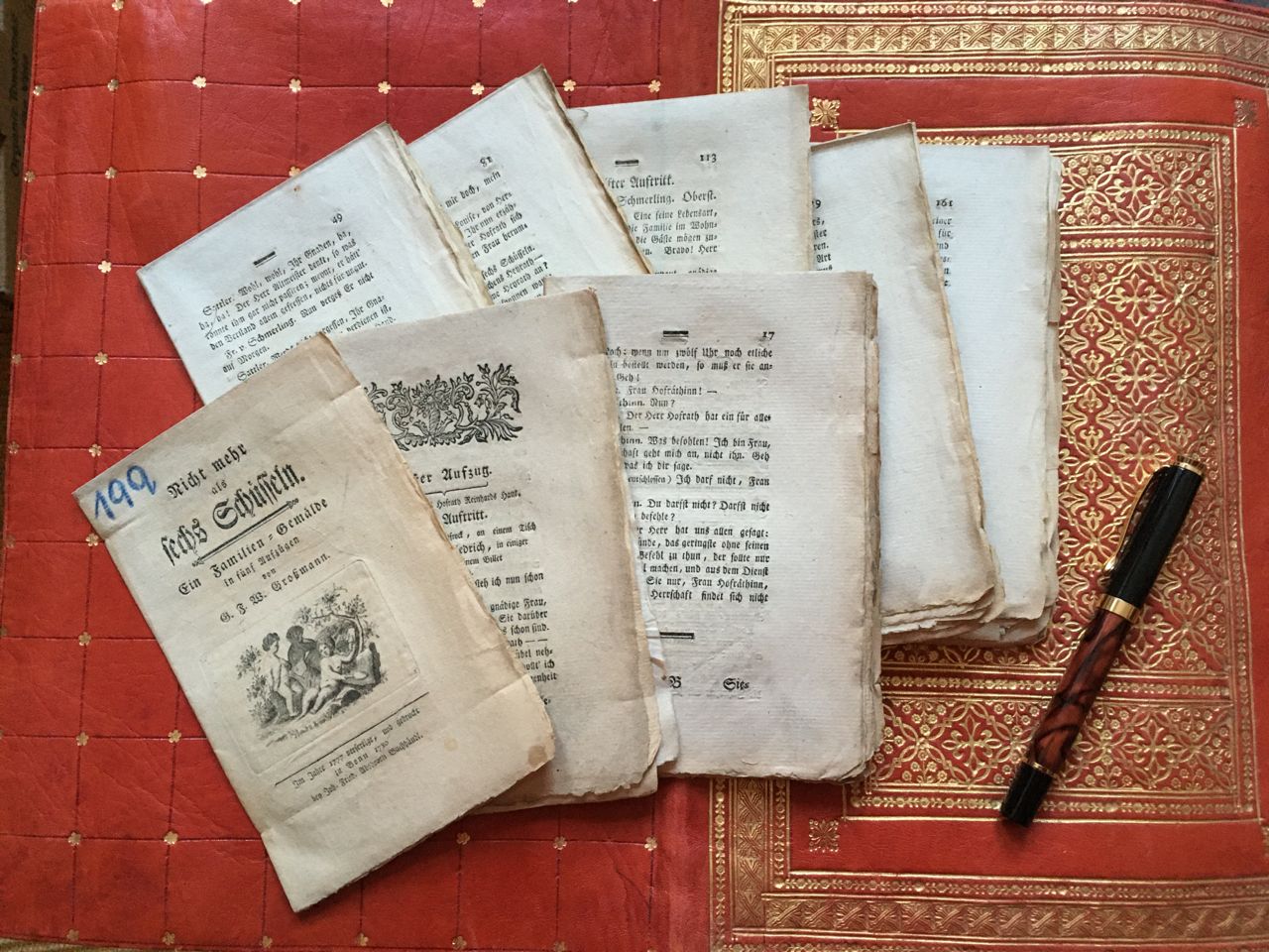
1780réf. FTT3005Bonn, Abshoven, 1780. 4 Bl., Titel m. Vignette, Einleitung, 222 Seiten, ungeheftet, unbeschnitten, auf kl.-8° gefaltete Rohbogen, festes Büttenpapier. - Erste Ausgabe dieses Schauspiels. - Auf dem Titel eine alte Farbstift-Nummer, Ränder gering angestaubt, wenig fleckig. broschiert/ Taschenbuch/ paperback
réf. 22078Henry Renshaw London 1855. First edition. 8vo 6 3/4 x 4 1/4 inches 196-pages. Contemporary half tan calf over marbled boards spine gilt at raised bands with burgundy letteing piece all edges marbled. Very good & attractive. Rare. Henry Renshaw, London, 1855. hardcover
réf. 205067International Presse Magazine . hardcover. gebraucht wie neu . International Presse Magazine hardcover
1919Cover photo of where a Gotha bomb fell in London, near a Sphinx. Includes concluding portion of "The March to the Rhine", with great photos. Chapter CCXCIII - Final Phases of the War in the Air, I. - The Air Battles Over London - How the Gothas were Defeated. Many great photos. Above-average wear and soiling. Staples disintegrated. A worthy reference copy. Book
réf. 11701GOTHA Chez Justus Perthes - 1833- In-16 - Reliure Editeur, velin de l'épque très orné, avec armoiries au 1 plat, décors au ' plat - Dos lisse orné - Toutes tranches dorées - nombreuses gravures - Calendrier & gravures + 342 pages + 42 , y compris index - Propre
GOTHA Chez Justus Perthes - 1833- In-16 - Reliure Editeur, velin de l'épque très orné, avec armoiries au 1 plat, décors au ' plat - Dos lisse orné - Toutes tranches dorées - nombreuses gravures - Calendrier & gravures + 342 pages + 42 , y compris index - Propre Ouvrage orné de 5 gravures (Portrait). Calendrier de l'année 1852.
réf. 1d6062Justus Perthes Verlag Gotha 1819. 11 bll./136 S./12 Bll./136 S. mit 1 in Kupfer gestochenem Frontispiz 11 Kupfertafeln sowie 1 gefalt. Stammbaum original illustr. Pbd. mit Goldschnitt. Duodez. berieben/StaV. und Titel/etwas fl. unknown
1997réf. mon0004172033Priaprism Press 1997-11-01. Paperback. Very Good. 0.2992 11.5000 8.0984. Priaprism Press paperback
réf. 189899868X.Gpaperback. Good. Access codes and supplements are not guaranteed with used items. May be an ex-library book. paperback
1998réf. 2311280070Justus Perthes Verlag Gotha Germany 1998. Maps. Like New. Double sided map of the United States 93 x 141 cm. Color maps. Scale 1:4000000. W 125--W 65/N 49--N 24. Notes:Includes physical map on one side and political map on the other. Relief shown by shading gradient tints and spot heights; ocean depths shown by gradient tints and spot depths. "1098"--Physical "1198"--Political. "Bestell-Nr. 362331644." Ancillary maps: Hawaii -- Alaska. Note: This is a large heavy map. Additional postage will apply depending on delivery location. Justus Perthes Verlag, Gotha [Germany] unknown
1968réf. 2311280081Hermann Haack Geographisch-Kartographische Anstalt Gotha 1968. Maps. Acceptable. 149 x 207 cm. Color map mounted on muslin wooden rods top and bottom. Tear at top of map near wooden rod some chips. Scale 1:3000000. E 65--E 150/N 57--N 15 Relief shown by shading hypsometric tints form lines and spot heights. 84 inches wide by 65 inches tall. The . Note: This is a large heavy map. Additional postage will apply depending on delivery location. Hermann Haack Geographisch-Kartographische Anstalt Gotha unknown
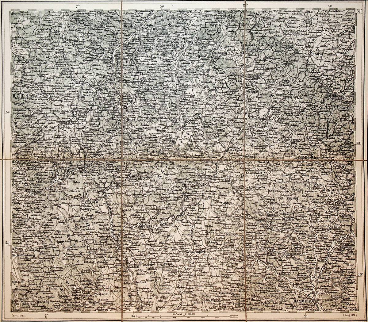
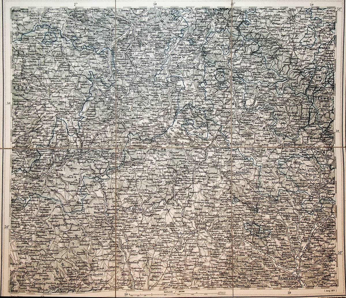
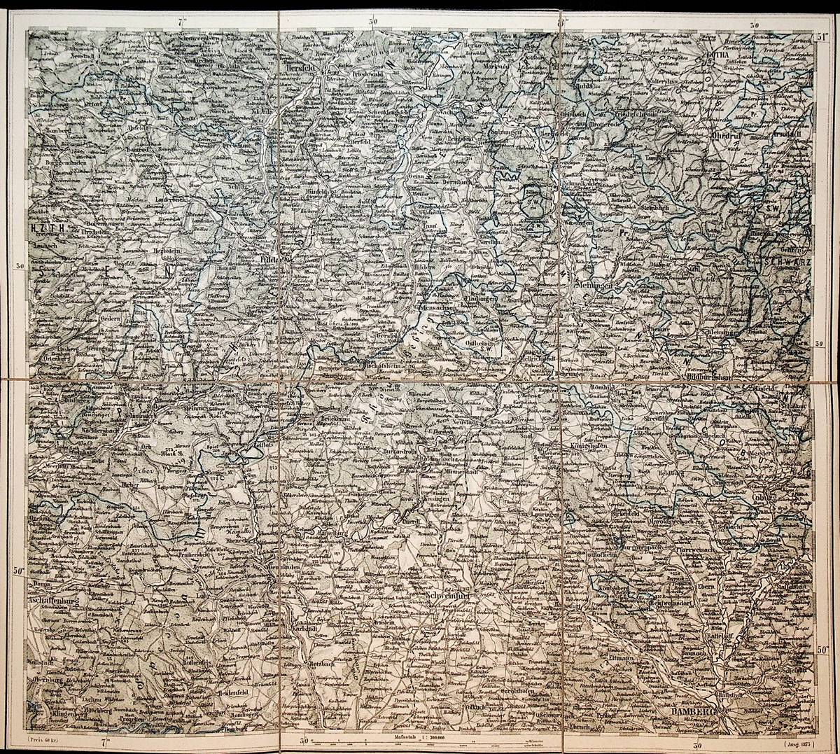
1875réf. A151-1644Wien, Kaiserlich-K?nigliches Milit?r-Geographisches Institut, 1875. Heliogravure in Kupfer vervielf?ltigt durch Umdruck vom Steine., Blatt ca. 51x 45 cm, Kartenbild; ca. 48 x 42 zu 6 Segmenten auf Leinen aufgezogen; Zustand: sehr gut
1875réf. A151-1472Wien, Kaiserlich und K?nigliches Milit?r-Geographisches Institut, 1875. Heliogravure in Kupfer vervielf?ltigt durch Umdruck vom Steine., Blatt ca. 51x 45 cm, Kartenbild; ca. 48 x 42 zu 6 Segmenten auf Leinen aufgezogen; Zustand: sehr gut, teilkoloriert
1875réf. A151-2201Wien, Kaiserlich und K?nigliches Milit?r-Geographisches Institut, 1875. Heliogravure in Kupfer vervielf?ltigt durch Umdruck vom Steine., Blatt ca. 51x 45 cm, Kartenbild; ca. 48 x 42 zu 6 Segmenten auf Leinen aufgezogen; Zustand: sehr gut, teilkoloriert
réf. 1d608358. Jahrgang. Justus Perthes Verlag Gotha 1821. 12 Bll./136 S./24 bll./175 S. mit in Stahl gestochenem Frontispiz sowie 9 gestoch. Tafeln davon 3 doppelseitig und 1 gefalt. Stammbaum original illustr. Pbd. mit Goldschnitt. Duodez StaV. und Titel/gering fl. - gutes Exemplar - unknown
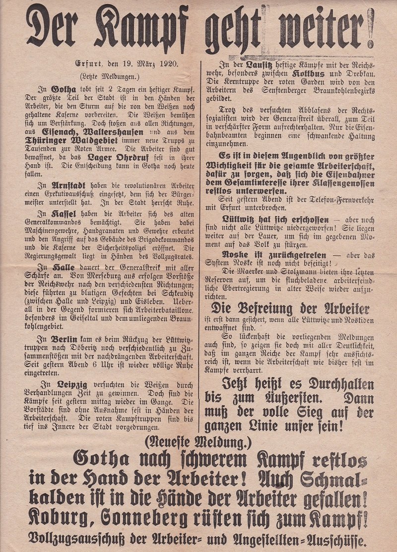
1920réf. 7815CErfurt., 1920. (ca. 31 x 23,5 cm). 1 Blatt. Großformatiges Blatt mit Deckeltitel und aus mehreren Schriftgrößen gesetztem Schriftbild. Blatt etwas gebräunt und gerändert, zweifache Faltlinien. Altersentsprechend und mit Blick auf den zeitgenössischen Einsatz gut erhalten.
1993réf. 2311280067Justus Perthes Gotha Germany 1993. Maps. Like New. Africa and Most of Europe 120 x 97 cm. Mounted color map metal roller. Scale 1:10000000. W 30--E 70/N 50--S 40. Relief shown by shading and spot heights. Note: This is a large heavy map. Additional postage will apply depending on delivery location. Justus Perthes, Gotha, Germany unknown
réf. BN398001International Presse Magazine. Hardcover. Les malheurs de Janice: Bandes dessinées pour adultes Les malheurs de Janice: Bandes dessinées pour adultes Erich von Gotha International Presse Magazine hardcover