560 risultati
1979rif. SBBI-L-BJF01121-ANT-20250HallwagBern 1979. map. Good. Our good condition books are generally good for reading but not for gifting or collecting. They could have imperfections such as creasing fanning inscriptions margin notes yellowing staining on edge or cover or pages bumps scuffs etc etc sometimes multiple of these. It's a wide category that encompasses anything that isn't almost-new down to anything that is slightly better than poor. We would NOT recommend gifting Good books - these should be considered reading copies. Our books are dispatched from a Yorkshire former cotton mill. We list via barcode/ISBN so please note that the images are stock images and may not be the exact copy you receive furthermore the details about edition and year might not be accurate as many publishers reuse the same ISBN for multiple editions and as we simply scan a barcode or enter an ISBN we do not check the validity of the edition data when listing. If you're looking for an exact edition please don't order at least not without checking with us first although we don't always have time to check. We aim to dispatch prompty the service used will depend on order value and book size. We can ship to most countries see our shipping policies. Payment is via Abe only. Hallwag,Bern unknown
2016rif. 127386Arnoldsche Verlagsanstalt. New. Hardcover. FREE UPGRADE to Courier/Priority Shipping Upon Request - IN STOCK AND IMMEDIATELY AVAILABLE FOR SHIPMENT - Flawless copy brand new pristine never opened. Text in German. -- with a bonus offer--; German Edition . 2016. 3897904136 . Arnoldsche Verlagsanstalt hardcover

1850rif. 33950Gotha, Engelhard-Reyhersche Hofdruckerei, um 1850.
1867rif. 019545Gotha Justus Perthes. 1867. This is a portfolio of 81 maps and drawings. No previous owner's names not exlibrary. Hand colored in outline. Overall in VERY GOOD condition. Photos available upon request. Size: 18.5 x 15 inches 46 x 31 cms. LARGE. Hand colored in outline. Overall in GOOD condition. Photos available upon request. Size: 18.5 x 15 inches 46 x 31 cms. LARGE. This portfolio has 3 extra maps variants of other ones present and it is lacking the following 6 maps: #12. Europa zur Ubersicht der politischen Verhaltnisse; #39. Asia. Generalkarte; #41a. America. Generalkarte; #43c. China ostl. Theil Korea und Japan; #44c. Di Ostindischen Inseln; #51. Polynesian und der Grosse Ocean. Westl. Theil. JOHAN GEORG JUSTUS PERTHES 1749-1816 German publisher was born at Rudolstadt on the Iith of September 1 749. In 1785 he founded at Gotha the business which bears his name Justus Perthes. In this he was joined in 1814 by his son Wilhelm 1793-1853 who had been in the establishment of Justus' nephew Friedrich Christoph Perthes at Hamburg. On the death of Justus at Gotha on the 2nd of May 1816 Wilhelm took entire control of the firm. He laid the foundation of the geographical branch of the business for which it is chiefly famous by publishing the Hand-atlas 1817-1823 of Adolf Stieler 1775-1836. Wilhelm Perthes engaged the collaboration of the most eminent German geographers of the time including Heinrich Berghaus Christian Gottlieb Reichard 1758-1837 who was associated with Stieler in the compilation of the atlas Karl Spruner 1803-1892 and Emil von Sydow 1812-1873. The business passed to his son Bernard Wilhelm Perthes 1821-1857 who was associated with August Petermann under whose direction the well-known periodical Petermanns Mitteilungen was founded and Bruno Hassenstein 1839-1902; and subsequently to his son Bernard 1857-. In 1863 the firm first issued the Almanach de Gotha a statistical historical and genealogical annual in French of the various countries of the world; and in 1866 the elaborate Geographisches Jahrbuch was produced under the editorship of Ernst Behm 1830-1884 on whose death it was continued under that of Professor Hermann Wagner. . Disbound. Very Good. Elephant Folio - over 15" - 23" tall. Hardcover. Gotha Justus Perthes. Paperback
1871rif. 48013Gotha, Justus Perthes, 1871-1931. 12mo a. small 8vo. Bound in 61 orig. red full cloth, gilt spines and gilt frontcovers. 8 vols having loose spines, or lacking spines or covers detached. Stamp to titlepage or htitles. With engraved portraits. Internally generally fine. With 2 supplementsvolumes to 1883 and 1884. 2 orig. full cloth.
1871rif. 48013Gotha Justus Perthes 1871-1931. 12mo a. small 8vo. Bound in 61 orig. red full cloth gilt spines and gilt frontcovers. 8 vols having loose spines or lacking spines or covers detached. Stamp to titlepage or htitles. With engraved portraits. Internally generally fine. With 2 supplementsvolumes to 1883 and 1884. 2 orig. full cloth. hardcover
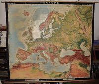
1964rif. 2309210067A.J. Nystrom ; Justus Perthes Chicago Darmstadt Germany 1964. Maps. Very Good. Large pull down topographic color map of modern Europe. Fitted with metal rod for wall mounting. 185 x 208 cm. 73 1/2 x 81 1/2 inches. Mounted on muslin and fitted with rods. Relief shown by shading gradient tints and spot heights. Depths shown by gradient tints. Shows direction of ocean currents in the Mediterranean Sea and in the Atlantic Ocean. Note: This is a large heavy map. Additional postage will apply depending on delivery location. A.J. Nystrom ; Justus Perthes, Chicago, Darmstadt, Germany unknown
2016rif. 2-3897904136Arnoldsche 2016. Hardcover. New. slp edition. 1056 pages. German language. 12.00x9.75x4.00 inches. Arnoldsche hardcover
rif. 1710Justus Perthes, Gotha, 1865. Dos et Coin Cuir Brun. État : Trés bon. 26 / 36 Cm. Magifique Atlas de 83 cartes lithographiées en couleurs. Pages titre et gardes avec quelques rousseurs. Castes en très bon état. Trés bels exemplaire. Sehr schöne Atlas von 83 Karten lithographierter in Farbe. Seiten Titel und einige Wachen mit rousseurs. Karten in sehr gutem Zustand. Sehr schönes Exemplar.
rif. 50098Gotha.1914.In-12 relié.1254 p.4 portraits.Tranches dorées.Reliure en veau glacé rouge avec caractères dorés,couronne et blason entourés d'une guirlande festonnée dorée.Reliure un peu frottée et comète légèrement décollée.
rif. BN106274Nomos. Softcover. Grenzen und Auslegung autonom harmonisierten Wirtschaftsprivatrechts Grenzen und Auslegung autonom harmonisierten Wirtschaftsprivatrechts Nomos paperback
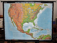
2001rif. 2309210166Klett Perthes 2001. Maps. Like New. 149 x 193 cm. Color map mounted on wood rods top and bottom. 1:3500000. Physical map features detailed topographic relief shading as well as ocean depths. Mountain ranges peaks rivers swamps and urban areas are all indicated on the map. Note: This is a large heavy map. Additional postage will apply depending on delivery location. Klett Perthes unknown
1836rif. 20700Gotha, Perthes, (1836). Mit 8 gestochenen Portraits, VIII SS., 24 Bll., 338, 101 SS., 1 Bl. 16° (ca. 11 x 7, 5 cm), roter Lederband, Vorderdeckel mit auberginefarbener u. goldgeprägter Maroquinauflage, Rücken mit blindgeprägter Goldauflage, Rückendeckel mit Gold- u. Blindprägung im Kathedralstil. Dreiseitiger Goldschnitt, grüne Lackpapiervorsätze. Deutschland, um 1837.
rif. ARP4P., Blondel La Rougery, 1916. In4, 214 pages, 18 pages de publicités, erratum, table des matières, nombreuses photos, croquis, br.
2002rif. 2309210164Justus Perthes Verlag Gotha GmbH Gotha 2002. Maps. Like New. 122 x 188 cm. Color map mounted on wood rods top and bottom. Scale 1:18000000. 362333043 Note: This is a large heavy map. Additional postage will apply depending on delivery location. Justus Perthes Verlag Gotha GmbH, Gotha unknown
1862rif. 000936Genève, Paris, et Leipzig Fick, Aubry, et Brockhaus 1862
1918Features: Title page photo of the Prince of Wales riveting in a Clyde shipyard; The Barometer and the Weather (article); The War Debt - How Shall We Pay It? (article); The Fish of Our Inland Waters - 'Coarse' v. 'Game'; Three photos of British day-bombing aeroplanes and one of their big bombs; Interesting one-page map entitled "Japan and Russia - Their Relative Geographical Postions, and the Siberian Railway; Photos of leading Japanese statesmen - Viscount Motono, Viscount Chinda, and Viscount Uchida; Photo of debate in the Japanese Parliament with Prime Minister speaking; Article by G.K. Chesterton includes photo of Sir W.H. Raeburn and Emperor Yoshihito of Japan; Five photos of Ukrainians, including Gen. Petljura and Professor Grushefski, beneath heading 'At Peace with Germany, At War with Bolsheviks; Two photos of the making of charcoal for use in trenches; Fascinating one-page illustration of a U.S. tree-climbing observer's camouflage; What is a Battle-Plane? - article with photos of fallen Gothas; Fascinating page of illustrations and text describe 'A Contrast Indeed - British and Enemy [German and Austrian] Civilian Food Supplies; Two-page spread of six photos illustrating the British taking over of a French sector near St. Quentin; Centrefold illustration the last stand of the Essex at Moeuvres; One-page illustration of carrier pigeon being used for raising funds for the great Tank Bank campaign; Excellent one-page photo portrait of General Sir Henry Hughes Wilson in staff car; Article discusses the overlooked food value of rabbits; Eight photos of famous French architecture protections against bombs; One-page illustration of British raiding-party crossing the Piave by night; How the Cost of Production is Met by the Bovril Co. - one page (advertorial?); Photo of the late Mr. Alan Lupton driving (horses) four-in-hand; and more. 36 pages including several pages of marvelous vintage ads, most of which are illustrated. Lovely ad for Napier Motor Carriages. Wonderful back cover ad for Gentlemen's Spring Suits by Chas. Baker & Co's. Unmarked with average wear. Binding intact. A sound copy of this excellent WWI-era issue. Magazine
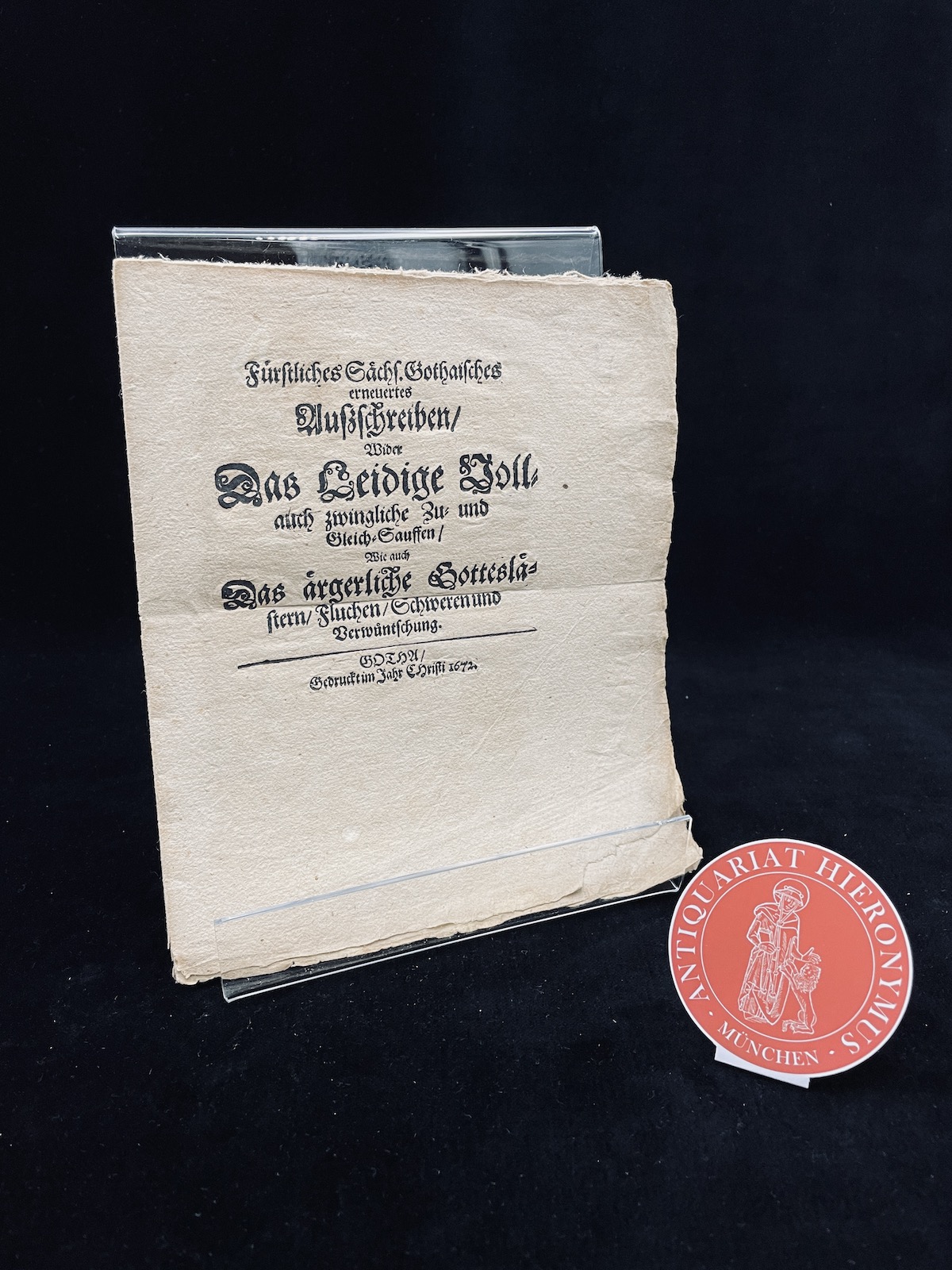
1672rif. 11411Gotha, [ohne Drucker], 1672. 8° (18,5-22,5 cm). 4 Bll. Broschur
1864rif. 2301641864. In der Platte monogrammiert, datiert "1864" und bezeichnet. Gegensatzreicher, leuchtender Druck auf breitrandigem Kupferdruckpapier. 16 x 15 cm (Plattengröße). 36,5 x 56 cm.
1738rif. 23409Gotha, Reyher, 1738. Titel, 8 n.n. Bll., Inhaltsverz., 790 SS., 16 n.n. Bll. Register, eine mehrfach ausfaltbare "Vormundschaffts-Tabelle". 4° (ca. 20 x16 cm), Pergament der Zeit, handschr. Rückentitel, Deckeltitel goldgeprägt: "Fürstl. Geheimen Raths Collegium 1738". Rotschnitt. Der Einband angegraut und fleckig, altes Bibliothekslaufschildchen auf dem Rücken.
rif. #[27812]Illustrated i.a. with four double plates each with 8 engraved handcoloured flags of European countries and towns: "tableau des pavillons de poupe des principales puissances maritimes de l'Europe ". On the pages II - IV some remarks on the illustrated flags. unknown
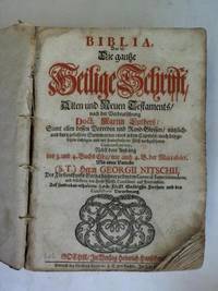
rif. 1f9825Heinrich Hanschens Gotha 1712. 26 nn. Blätter 698 474 324 S. 2 Blatt Halbleder der Zeit Gelenke gebrochen/ ein Einbanddeckel lose/ 2 Kanten fehlen/ mit einigen Eselsohren/ teils fleckig. - für das Fürstentum Gotha edierte Bibel mit den Privilegien des Herzogs - unknown
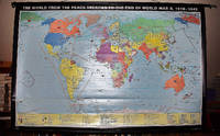
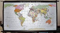
1993rif. 2309280035Haack-Painke Firm Justus Perthes Gotha Germany 1993. Maps. Very Good. Political Map of the World in vivid color 146 x 78 cm. Color map mounted on rods top and bottom. Scale 1:24000000 W 180--E 180/N 80--S 70. "Best.-Nr. 362331144." Note: This is a large heavy map. Additional postage will apply depending on delivery location. Haack-Painke (Firm), Justus Perthes (Gotha, Germany) unknown
rif. 3948Gotha Justus Perthes, Gotha, 1905. 236 pages +cartes 100 cartes format: in folio superbe reliure demi chagrin à coins vert olive et toile sur les plats , dos à cinq nerfs , le livre a eté restauré sur les petits manques des pages qui le necessitaient , certainement lorsqu'il a eté relié , deux exemplaires en vente il s'agit bien de l'ouvrage relié en vert sur les photos .
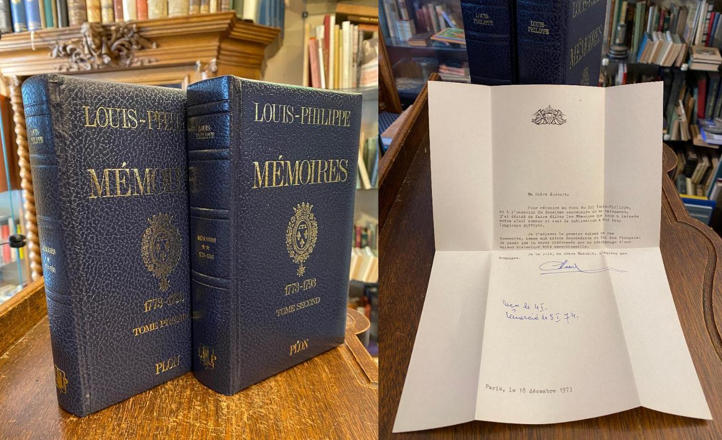
1973rif. 55586ABParis, Librairie Plon, 1973-1974. 8° (21x14), xxi (preface), [iv] (genealogie de la Maison Royale de France), [xxv] (fac-similes manuscrits), 340, [6] p.; 523, (11) p., avec fas-similes, reliures d'editeur plein simili cuir bleu capitonnes, orne d'or, 2 vol. [complets], tres bon etat,