Antiquariat.de

19 125 résultats
réf. 17749ABo.J. 62 : 41 cm 1 leaf with initial Q in red, and one black initials, text and notes in black and red.
réf. 17748ABo.J. 62 : 41 cm 1 leaf with initial S in red, and two black initials, text and notes in black and red.
réf. 124506aafOlten und Konstanz, Verlag Otto Walter A.-G., 1936, in-8vo, Original-Broschüre.
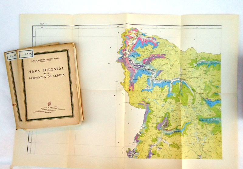
1954réf. 29371Madrid, Instituto Forestal de In, 1954. 4°. 2 Bänden. Mit 8 gefalteten farblithorgraphierten Karten. Orig.-Karton. Einband von 2 etwas rissig. Beide Einbände mit Bibl.-Etiketten und mehrfach gestempelt.
réf. 218204Lieux divers, 1809-1811 in-8 et in-4,
1959réf. 24669Berlin-Schöneberg, Langenscheidt KG, Verlagsbuchhandlung, 1959. 8. Auflage 143 Seiten , 19 cm, kart.
2006réf. PHOT0394(Madrid), Exit Publicaciones (2006). 8°. 421(1) S. Mit zahlr. photogr. Abb. OEngl.Brosch. Einbd. m.leichten Stellspuren, sonst tadellos. Text Spanisch und Englisch. - In alphabetischer Reihenfolge.
2007réf. 261647Coruna 2007. 378 S., zahr. farb. Abb. 4° Br. *neuwertig* Plakate, Spanien*.
réf. 1738477614.Ghardcover. Good. Access codes and supplements are not guaranteed with used items. May be an ex-library book. hardcover
1983réf. 26950(Madrid), Ediciones Poniente, 1983. Fotografias y textos de: Koldo Chamorro, Toni Catany, Ouka Lele, Joan Fontcuberta, Rafael Navarro, Lluis Bover, Eduardo Momene, Manuel Laguillo, Fernando Herraez, Pablo Perez-Minguez und Humberto Rivas. Mit zahlreichen ganzseitigen Fotoabbildungen. 4°. 152,8 S. Ill. OKarton. Einband z.T. etwas vergilbt, sonst sehr schön. Aus einer Raucherbibliothek mit etwas Geruch. [2 Warenabbildungen]
1929réf. 12327Madrid: Direccion General Del Turisimo. Near Fine. c. 1929-1950. Ephemera. Flamenco with shallow vertical crease light soil. The Gardens of Spain on thin paper stock with light corner wear and creasing. ATESA brochure with vertical 4.5" crease on one panel.; Flamenco 16 pp. color illustrations by Angel Esteban throughout. Banco De Bilbao Touristic Map of Spain 6 x 3.5" in original printed brown envelope; folds out to two side color map 34.5 " wide by 12". Seville Spanish-American Exhibition 1929-1930 6.5 x 4" folds out to 13.5 x 12.5" with map of the exhibition bordered by photographs. Two folding maps Rutas de Espana one in Spanish one in English; both 7 x 5" folds out to 28 x 20". The Gardens of Spain folding brochure/map 9.5 x 4.5" folds out to 27 x 19" with map bordered by photographs. ATESA Motorcoach Tours of Spain 7 x 4" folding brochure with descriptions & color illustrations of destinations small map. Andalusia brochure with much descriptive text vignette illustrations in color. Three stapled booklets 7 x 4.5" Barcelona Granada seven pages including inside covers Seville four pages; all with sepia photographs and map on back . Direccion General Del Turisimo unknown
1960réf. 54797ABHamburg, Hoffmann und Campe, 1960. 4to. 95 S. Mit Abbildungen. Orig.-Leinenkaschiert.
1974réf. 60178BBKöln., Galerie Dreiseitel., 1974. 21 x 15 cm. 34 unpaginierte S. OKarton., 60178BB Auflage: 1000 Exemplare. Einband minimal berieben, sonst gutes Exemplar.
1991réf. LFA-126714390Un ouvrage de 226 pages, format 135 x 220 mm, broché couverture couleurs, publié en 1991, Aubier, "Collection Historique", bon état
1991réf. 97175Aubier, 1991, in-8°, 225 pp, 4 cartes, broché, bon état
1991réf. 185981Aubier Aubier, 1991. In-8 broché de 225 pages. Exemplaire de service de presse. Bon état.
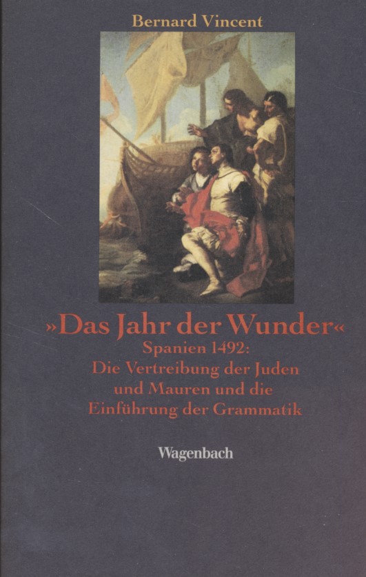
1992réf. 1222145Wagenbach, 1992. 198 S. englische Broschur.
réf. 8486022320.Gpaperback. Good. Access codes and supplements are not guaranteed with used items. May be an ex-library book. paperback
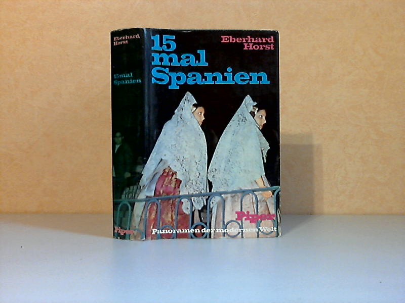
1973réf. 40226München, R. Piper und Co Verlag, 1973. 381 Seiten , 21 cm, Hardcover/Pappeinband
réf. 055398Paris Union Latine d'éditions 1930 petit in 4 (22,5x18) 6 volumes reliures demi chagrin bleu à coins de l'époque, dos à nerfs, têtes dorées, 276 pages [2], 495 pages, 441 pages, 476 pages, 530 pages, 494 pages, avec de nombreuses illustrations de Maxilien Vox, et fac-similés. Édition complète collationnée sur les premières éditions. Exemplaire numéroté sur vélin chiffon. Ensemble en bel état ( Photographies sur demande / We can send pictures of this book on simple request )
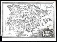
1748réf. 372040Printed for T. Osborne in Gray's Inn; A. Miller in the Strand; and J. Osborn in Paternoster Row London 1748. Unframed Print. Very Good Condition. This 1748 map provides a detailed representation of ancient Spain highlighting key regions cities and geographical features as understood in the 18th century. It was engraved by Isaac Basire a well-known cartographer and engraver of the time. The map was printed in London by T. Osborne A. Miller and J. Osborn.1 folding plate. Close cropped at the left margin. Size: 20 x 30 cms. Category: Universal History; PRINTS : Antiquarian Interest; Printed before 1800; Special Interest. This item may require more postage than the rates shown for delivery outside the UK. If extra postage is required we will contact you before processing your order and you will be given the details and option to decline the extra cost. Printed for T. Osborne, in Gray's Inn; A. Miller, in the Strand; and J. Osborn, in Paternoster Row unknown