N/A.MareMagnum

20.169 Ergebnisse
Santander, Instituto de España, 1939 ('Textos Escolares'). 4to. menor; 79 pp., con ilustraciones. Cubiertas originales.
Barcelona, Luis Miracle, 1968 ("Biblioteca Paideia"). 4to.; 227 pp., 2 hs. Enc. original.
Madrid, 2000. 4to.; 239 pp. Ilustraciones. Cubiertas originales.
398 p. Original boards (softcover) with title to spine and illustrated title to cover. (= serie / Documentos). Outside slightly worn, pen markings to title page, inside still in very good condition. With several illustrations, mostly of handwritings. Text in Spanish.
1998Best.-Nr. 22258BSada, A Coruna:, Edicios do Castro., (1998). 398 p. Original boards (softcover) with title to spine and illustrated title to cover. Outside slightly worn, pen markings to title page, inside still in very good condition. (= serie / Documentos).
1986Best.-Nr. 1051CBFrankfurt am Main, Insel-Verlag, 1986. 4°. Üs. Fritz Vogelgsang. 151 S. : 8 Ill. (farb.) OLn. OUmschl. 1. Aufl.
1614Best.-Nr. 14701614 Antverpiae (Anvers), Apud Ioannem Keerbergium, 1614., Coll : fol 1025 contenant 23 gravures hors-texte et une carte, 80, 36p (table) In folio, en peau de daim teintée médaillons estampés à froid, sur les deux plats dos à 6 nerfs pièce de titre
1605Best.-Nr. 48560Mogvntiae Mainz Andreas Wechsel 1605. 4to. Contemp. full vellum raised bands blindstamped covers. Printers wood-cut device on titlepage. 16619;63836 pp. A bit of browning to the first few leaves. A few scattered brownspots. Printed in double columns. This is the first edition containing all 30 books. The first 20 books were published in Spanish in 1601. Marianas's importent history of Spain deals with the country from the first settlements to the death of King Ferdinand who united the Crowns of Castile and Aragon."Among his Maraina's literary labours the most important is undoubtedly his great work on the history of Spain which is still remembered today. There was published as late as 1854 in Madrid an improved and richly illustrated edition continued up to that year. The work first appeared as "Historiæ de rebus Hispaniæ libri XX. Toleti typis P. Roderici 1592". A later edition of the compiler himself carried on still further is "De rebus Hispaniæ libri XXX" published at Mainz in 160 the item offered. This edition bears the imprimatur of the order for the thirty books given by Stephan Hojeda visitor from Dec. 1598 and of the provincial from 1604. The author had in the mean time converted a Latin edition into Spanish and this appeared complete containing the thirty books of the Latin edition at Toledo in 1601. This went through a number of editions during the lifetime of the author and through others after his death" The Catholic Encyclopedia. hardcover
1605Best.-Nr. 48560Mogvntiae (Mainz), Andreas Wechsel, 1605. 4to. Contemp. full vellum, raised bands, blindstamped covers. Printers wood-cut device on titlepage. (16),619"638,(36) pp. A bit of browning to the first few leaves. A few scattered brownspots. Printed in double columns.
128pp.geïll., roodlinnen band met goudopdruk, gesigneerd met opdracht door auteur, 21cm., enkele stempeltjes, goede staat
Best.-Nr. G48254Brugge, De Baere s.d. 128pp.geïll., roodlinnen band met goudopdruk, gesigneerd met opdracht door auteur, 21cm., enkele stempeltjes, goede staat, G48254
1849Carta geografica della Spagna. Evidenziata la provincia dell'impero romano della Lusitania
192024x16. 242p. Ilstr. Trad. P. Bosch Gimpera, M. Artigas Ferrando. Apéndice sobre la arquelogía perromana hispánica de P. Bosch Gimpera.
Best.-Nr. 91403aafSamuel John Neele sculpt., 1795, 41 x 41 cm.
1978Best.-Nr. 183913Mainz: Zabern Vlg. 1978. XII, 254 S., 148 Textabb., 8 farb. u. 152 s/w Taf. Reg. 4° Ln.mS.
1984ISBN: 84-85202-40-6 141 pages. Complete thus; the other two volumes in the series, Studies on the history, language and literature of the Jews in the hispanic world, deal with, respectively, history and literature. Very Good Condition. (sef-14-5)
201624x16. 253p. Fotogr. Sobrecubierta.
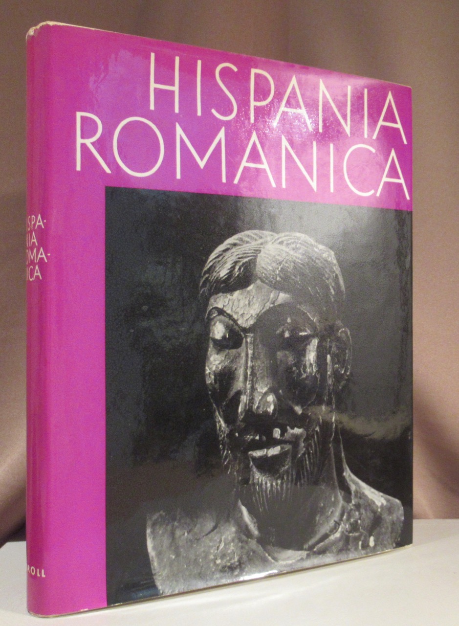
1962Best.-Nr. 88650Wien und München, Schroll & Co 1962. 1962. 4°, 308 S. mit zahlreichen s/w Abbildungen und Tafeln. Orig.-Leinen im Orig.-Umschlag.
1629Best.-Nr. 20704Lugd. Batav. : Off. Elzeviriana, : Ex Officina Elzeviriana, [Leyden] Leiden (Elezivir / Elsevier) 1629. [10], 11 bis 520 S., mit Titelillustration 12 x 6 cm Voll-Pergament der Zeit, auf Vorder und Rückendeckel Ornamentprägung, Exemplar in gutem Erhaltungszustand
1653Best.-Nr. UUI-9820Carte géographique de format 28,5/34,5 cm (pour la planche), 15/19 cm (pour la carte). Issue du rare atlas de Briet : "Theatrum geographique Europae veteris", Pierre Mariette, 1653. Papier légèrement jauni, bon état général, bel exemplaire. Frais d'envoi 7 euros sur la France, 15,05 UE et Suisse, entre 19,60 et 26,70 euros pour le reste du monde, à spécifier selon zone. Possibilité de remise en mains propres sur Paris, n'hésitez pas à me contacter avant de passer commande. Twitter : @Pontneuf06.
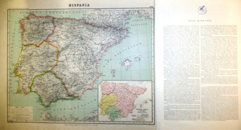
1893Best.-Nr. 501968Sumtus fecit libraria geographica Diterici Reimer ( Ernesti Vohsen ) Berolini 1893, d.i. Dietrich Reimer (vormals Ernst Vohsen) in Berlin 1893. Landkarte mit der Blattgröße 51 x 65 cm. Grenzkoloriertes Originalblatt im Maßstab 1: 2 500 000, Kartengröße 43x56 cm zzgl. Über- und Unterschrift. Unten rechts eine weitere Karte ohne Maßstab Conventus Iuridici in Hispania a Romanis constituti. Unten links die Legende. Rückseitig oben rechts mit gedrucktem Kartentitel und der Blattnummer und mittig gestempelt mit "Seminare f. Staatenkunde u. hist. Geographie-Universität Berlin" der Humboldt-Universität und "Ausgesondert". Die Karte mit minimalen Faltstellen an den Ecken, ein größerer Einriß von 4, 3 cm am rechten unteren Kartenrand. Das Textblatt in der Größe 51 x 31,5 cm, 2 Seiten bedruckt, zweispaltig gesetzt. (die Textbeilage doppelt) Die Karte komplett lateinisch beschriftet, der erläuternde Text in deutsch. Auf Seite 1 oben mittig mit Stempel wie auf der Karte, die Textbeilage mit geringen Faltspuren an den Rändern. Sauberes und wohlerhaltenes Exemplar.
Madrid, Instituto Jerónimo Zurita, 1996. Tres volúmenes en 4to. mayor; 1231 pp., en paginación continúada. Cubiertas originales.
1662Best.-Nr. 200014AG1662. Amsterdam Janssonius c.1662. Original hand-coloured copper engraving. Plate Size: 49.2 cm x 37 cm. Sheet Size: 59.8 cm x 45 cm. Original map. Very good condition. Faint hint of foxing along left fore edge. Centre fold as issued. Latin text on reverse. Koeman I 6000H:1.2. Border with longitudinal and latitudinal information. A richly detailed and very interesting map showing Roman Hispania - the Iberian Peninsula and the Balearic Islands. The three Ancient Roman provinces organised by the emperor Augustus of Hispania Citerior et Tarraconensis Hispania Baetica and Lusitania Hispania are shown on the map. Northern tip of Africa 'Hispania Transfretana Sive Tingitana Qua et Mauritania' pictured also. Relief shown pictorially with rivers mountains and significant towns and cities depicted. Large decorative cartouche with finely detailed Classical allusions in lower right section of map contains an inset box showing the coastal area around 'Gades' Cadiz. Cartouche also lists numerous place names of uncertain location in Latin. Bar-scales within cartouche in top right corner of the map. Decorative title cartouche in lower left corner. Three ships are also pictured suggesting the region's maritime importance. 'Mare Mediterraneum Internum' and 'Ocean Atlanticus Quod et Mare Hesperium Vespertinum Occiduum et Externum' are also listed. Abraham Goos 1590 c. 1643 was a Dutch cartographer publisher and engraver. He made globes maps of North America a comprehensive map of European coastlines and the first printed Hebrew language map of The Holy Land. His first teacher was Jodocus Hondius 15631612 a renowned map-maker whose son-in-law was Johannes Janssonius. After Hondius died his son-in-law Jan Janssonius took over Hondius's business and continued the partnership with Goos. One of Hondius' specialties was the manufacture of globes and Goos and Janssonius continued this regularly modifying them as more geographical information became available. In 1616 he published Nieuw Nederlandtsch Caertboeck an atlas of the Seventeen Provinces in 23 maps and one of the first atlases of the Netherlands; Johannes Janssonius 1588-1664 was a renowned geographer and publisher of the seventeenth century when the Dutch dominated map publishing in Europe. unknown
1653Best.-Nr. UUI-10075Carte géographique de format 28,5/34,5 cm (pour la planche), 15/19 cm (pour la carte). Issue du rare atlas de Briet : "Theatrum geographique Europae veteris", Pierre Mariette, 1653. Papier légèrement jauni, petite mouillure sur la droite, bon état général, bel exemplaire. Frais d'envoi 7 euros sur la France, 15,05 UE et Suisse, entre 19,60 et 26,70 euros pour le reste du monde, à spécifier selon zone. Possibilité de remise en mains propres sur Paris, n'hésitez pas à me contacter avant de passer commande. Twitter : @Pontneuf06.
1653Best.-Nr. UUI-9684Carte géographique de format 28,5/34,5 cm (pour la planche), 14,5/19,5 cm (pour la carte). Issue du rare atlas de Briet : "Theatrum geographique Europae veteris", Pierre Mariette, 1653. Papier légèrement jauni, légère déchirure sans gravité sur le côté gauche, bon état général, bel exemplaire. Frais d'envoi 7 euros sur la France, 15,05 UE et Suisse, entre 19,60 et 26,70 euros pour le reste du monde, à spécifier selon zone.