Meyer'sMareMagnum

20.080 Ergebnisse
1849Carta geografica della Spagna. Evidenziata la provincia dell'impero romano della Lusitania
192024x16. 242p. Ilstr. Trad. P. Bosch Gimpera, M. Artigas Ferrando. Apéndice sobre la arquelogía perromana hispánica de P. Bosch Gimpera.
1978Best.-Nr. 183913Mainz: Zabern Vlg. 1978. XII, 254 S., 148 Textabb., 8 farb. u. 152 s/w Taf. Reg. 4° Ln.mS.
1984ISBN: 84-85202-40-6 141 pages. Complete thus; the other two volumes in the series, Studies on the history, language and literature of the Jews in the hispanic world, deal with, respectively, history and literature. Very Good Condition. (sef-14-5)
201624x16. 253p. Fotogr. Sobrecubierta.
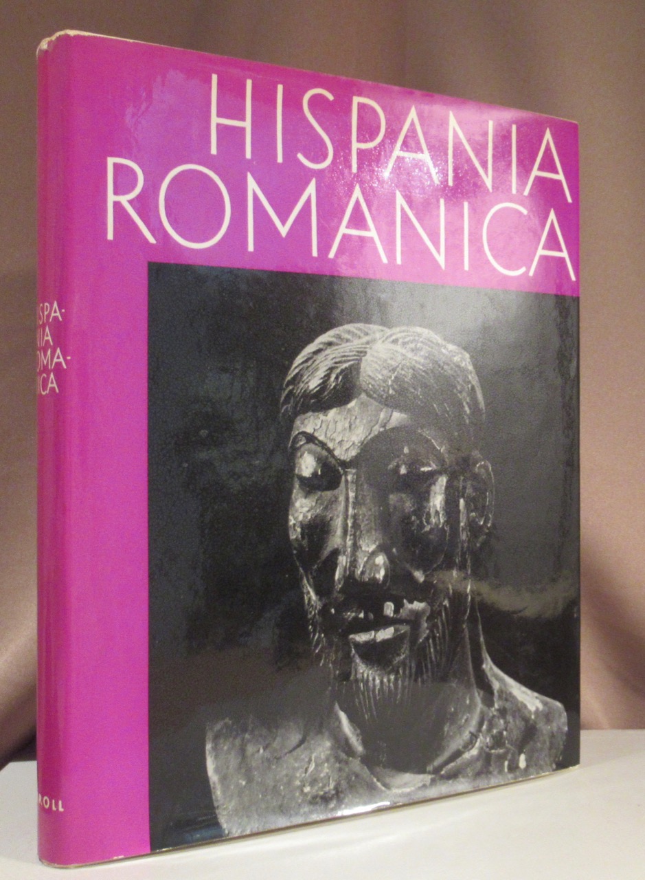
1962Best.-Nr. 88650Wien und München, Schroll & Co 1962. 1962. 4°, 308 S. mit zahlreichen s/w Abbildungen und Tafeln. Orig.-Leinen im Orig.-Umschlag.
1629Best.-Nr. 20704Lugd. Batav. : Off. Elzeviriana, : Ex Officina Elzeviriana, [Leyden] Leiden (Elezivir / Elsevier) 1629. [10], 11 bis 520 S., mit Titelillustration 12 x 6 cm Voll-Pergament der Zeit, auf Vorder und Rückendeckel Ornamentprägung, Exemplar in gutem Erhaltungszustand
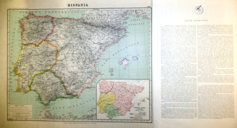
1893Best.-Nr. 501968Sumtus fecit libraria geographica Diterici Reimer ( Ernesti Vohsen ) Berolini 1893, d.i. Dietrich Reimer (vormals Ernst Vohsen) in Berlin 1893. Landkarte mit der Blattgröße 51 x 65 cm. Grenzkoloriertes Originalblatt im Maßstab 1: 2 500 000, Kartengröße 43x56 cm zzgl. Über- und Unterschrift. Unten rechts eine weitere Karte ohne Maßstab Conventus Iuridici in Hispania a Romanis constituti. Unten links die Legende. Rückseitig oben rechts mit gedrucktem Kartentitel und der Blattnummer und mittig gestempelt mit "Seminare f. Staatenkunde u. hist. Geographie-Universität Berlin" der Humboldt-Universität und "Ausgesondert". Die Karte mit minimalen Faltstellen an den Ecken, ein größerer Einriß von 4, 3 cm am rechten unteren Kartenrand. Das Textblatt in der Größe 51 x 31,5 cm, 2 Seiten bedruckt, zweispaltig gesetzt. (die Textbeilage doppelt) Die Karte komplett lateinisch beschriftet, der erläuternde Text in deutsch. Auf Seite 1 oben mittig mit Stempel wie auf der Karte, die Textbeilage mit geringen Faltspuren an den Rändern. Sauberes und wohlerhaltenes Exemplar.
Madrid, Instituto Jerónimo Zurita, 1996. Tres volúmenes en 4to. mayor; 1231 pp., en paginación continúada. Cubiertas originales.
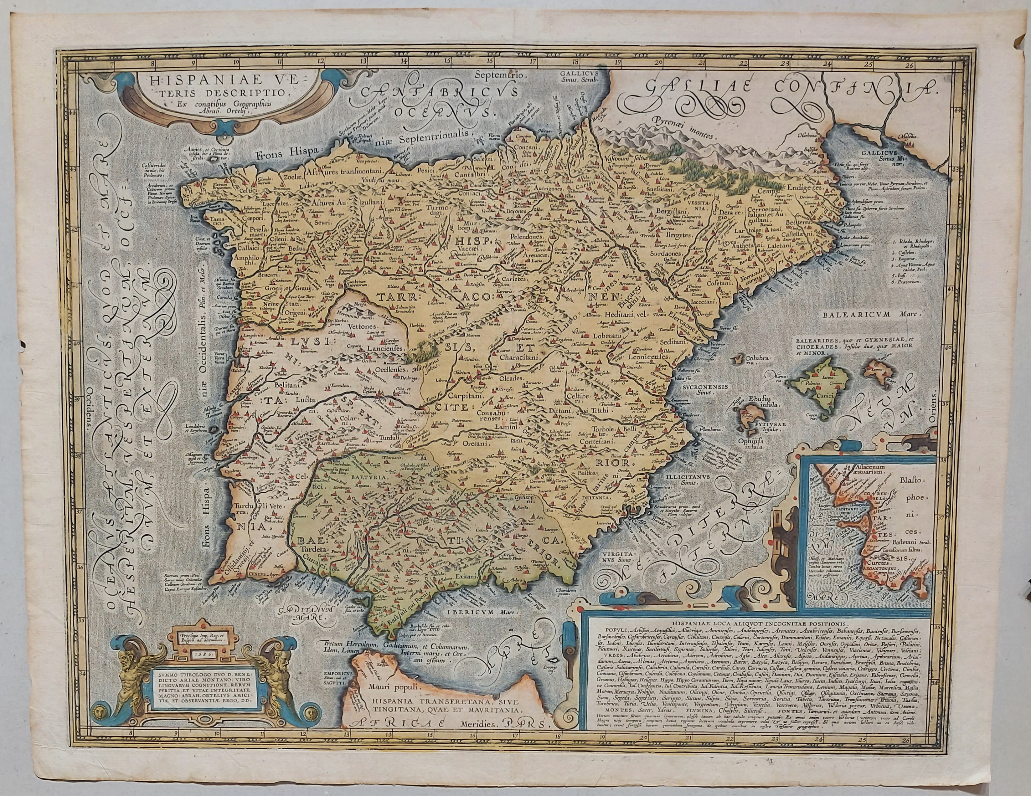
1662Best.-Nr. 200014AG1662. Amsterdam Janssonius c.1662. Original hand-coloured copper engraving. Plate Size: 49.2 cm x 37 cm. Sheet Size: 59.8 cm x 45 cm. Original map. Very good condition. Faint hint of foxing along left fore edge. Centre fold as issued. Latin text on reverse. Koeman I 6000H:1.2. Border with longitudinal and latitudinal information. A richly detailed and very interesting map showing Roman Hispania - the Iberian Peninsula and the Balearic Islands. The three Ancient Roman provinces organised by the emperor Augustus of Hispania Citerior et Tarraconensis Hispania Baetica and Lusitania Hispania are shown on the map. Northern tip of Africa 'Hispania Transfretana Sive Tingitana Qua et Mauritania' pictured also. Relief shown pictorially with rivers mountains and significant towns and cities depicted. Large decorative cartouche with finely detailed Classical allusions in lower right section of map contains an inset box showing the coastal area around 'Gades' Cadiz. Cartouche also lists numerous place names of uncertain location in Latin. Bar-scales within cartouche in top right corner of the map. Decorative title cartouche in lower left corner. Three ships are also pictured suggesting the region's maritime importance. 'Mare Mediterraneum Internum' and 'Ocean Atlanticus Quod et Mare Hesperium Vespertinum Occiduum et Externum' are also listed. Abraham Goos 1590 c. 1643 was a Dutch cartographer publisher and engraver. He made globes maps of North America a comprehensive map of European coastlines and the first printed Hebrew language map of The Holy Land. His first teacher was Jodocus Hondius 15631612 a renowned map-maker whose son-in-law was Johannes Janssonius. After Hondius died his son-in-law Jan Janssonius took over Hondius's business and continued the partnership with Goos. One of Hondius' specialties was the manufacture of globes and Goos and Janssonius continued this regularly modifying them as more geographical information became available. In 1616 he published Nieuw Nederlandtsch Caertboeck an atlas of the Seventeen Provinces in 23 maps and one of the first atlases of the Netherlands; Johannes Janssonius 1588-1664 was a renowned geographer and publisher of the seventeenth century when the Dutch dominated map publishing in Europe. unknown
1586Best.-Nr. 89957AB1586. Plattengrösse: 37,5x49 cm. (Alt)kolorierte Kupferstichkarte. Rückseitig mit Text.
1941Best.-Nr. 86956The Hispanic Society of America, New York, 1941. 23 cm ; kart.
2014Best.-Nr. 60814Mainz : Nünnerich-Asmus 2014. 176 S. : Ill., Kt. ; 25 cm Pp., gebundene Ausgabe, Hardcover/Pappeinband, Exemplar in sehr gutem Erhaltungszustand, Neupreis in Euro: 24,90
1925Best.-Nr. GEU3081Berlin, W. Junk, 1925. 26 Seiten, 37 Tafeln, H 24 x 17 cm, InterimsEinband. - Deckblatt lose u. nur teilw. vorhanden, sonst guter Zustand. broschiert/ Taschenbuch/ paperback
1997Best.-Nr. 27503Verlag Klaus Dieter Verwuert, Frankfurt / M., 1997. 398 S. 8°, OKtn.
1970Describes 216 different translations totalling 529 printings. With an evaluation of the data, chronology, indices of authors, translators and patrons.176p,index.Publisherls publicity post card laid in. Book
1824Best.-Nr. 44536ABParis, Chasseriau, 1824. 12mo. LXXII, 398pp. With engr. frontispiece. Contemp. marbled boards.
1932Broch?. 239 pages. Couverture d?fra?chie. Dos factice.
Best.-Nr. 1334569290.Gpaperback. Good. Access codes and supplements are not guaranteed with used items. May be an ex-library book. paperback
in-12, 222 pp., broche, couv. Bel exemplaire. [CA31-8]
1808Best.-Nr. SPA05017Paris. Léopold Collin, 1808. 384, 436, 438, 416 S. Marmorierter Hardcover mit goldgeprägtem Lederrücken. Mit Lesebändchen. Sauberes Exemplar ohne Stempel und Anstreichungen. Mehrzeilige Widmung auf Vorsatz sowie Exlibris. Einbände an Kanten leicht berieben. Sonst sehr gut erhalten.
1960Paris, Club des Libraires de France, 1960; in-8 carré, 8-328 pp. + 82 pl., 3 tables généalogiques dépliantes, 1 carte hors-texte, relié pleine percaline d'éditeur, coloris blanc, dos lisse, plat supérieur illustré, sous Rhodoïd, d'après les maquettes de Pierre Faucheux. Exemplaire numéroté 1424/3500. Nombreuses illustrations (documents photographies et dessins). Bon état.
19654è édition d'un ouvrage publié en 1931 par l'historien espagnol Rafael ALTAMIRA (1866-1951), mise à jour en 1956 par l'historien Pierre VILAR, spécialiste de l'histoire d'Espagne (1906-2003); catalogue de la collection, dirigée par Paul Montel, in fine. Français
Paris, Librairie Arthème Fayard, Les Grandes Etudes Historiques, 1932. In-12, broché, 537 pp. Bon exemplaire.
193218x12. 519p.