Ireland, SamuelBiblio.com

7 188 résultats
1794réf. biblio19First edition. R. Faulder. 1794. Royal Octavo. xvi 183pp 7 8. Engraved frontispiece engraved tailpiece engraved vignette 54 further plates. All present including the rare Frontis-piss with the exception of the Richardson censored plate. Later half calf cloth. Spine in six with raised banding gilt lettering and rules. Minor rubbing/bumping to spine and corners. Shepherd Boy relaid onto larger paper. With the bookplate of Charles Barrington Brown geologist explorer and author to fep. Signature of his son C Barrington Brown Caius Coll. Cambridge to ffep. From the library of Denis Gray with his bookplate to ffep. R. Faulder, New Bond Street; and J. Egerton, Whitehall. hardcover
1981réf. 017533Dublin: Wolfhound 1981 Book condition: Near Fine. Jacket: Near Fine. First Thus. Signed by Liam O'Flaherty to title page. A bright copy. Wolfhound hardcover
1981réf. 017523Dublin: Wolfhound 1981 Book condition: Near Fine. Jacket: Near Fine. First Thus. Signed by Liam O'Flaherty to title page. A bright copy. Wolfhound hardcover
1976réf. 017527Dublin: Wolfhound 1976 Book condition: Near Fine. Jacket: Near Fine. First edition first printing. Signed by Liam O'Flaherty to title page. A bright copy. Wolfhound hardcover
réf. 6634Without date or place. 12mo 1 p. Slight damage and loss at head affecting one line of text. The seal with a clear impression of a crown above the letters 'A R'. in a rectangle roughly 1 x 1.5 cm adheres to the reverse of the second leaf of the bifolium which also carries the name of the recipient and has been repaired with tape along one edge of the recto. The letter is of 15 lines and consists of directions as to where to place guests. For example 'Miss Murden Maid of honours room. her maid next to her. Miss Mitchell Bedroom up Stairs her maid in the Closet within her room.' Without date or place. unknown
1971xxv, 425 pages. Index. Average wear. Unmarked. Binding intact. A sound working copy. Book
1983644 pages. "One of the standard references for researching crests for families in Great Britain and Ireland. This edition combines text and plates in one volume, providing easy cross reference. 144 beautifully engraved plates provide a complete guide to 1,950 British and Irish crests, plus 130 monograms, and many other heraldic illustrations." - from dust jacket. Prior owner's blind stamp upon title page otherwise clean, bright, freshh and unmarked with negligible wear. Price-clipped dust jacket now preserved in glossy new archival-grade Brodart cover. A superb copy of this magnificent reference. Book
1993x, 306 pages. Footnotes. Bibliography. Index. "Provides a comprehensive critical account of Shaw's political ideas." - from dust jacket. Clean and unmarked with light wear. Foxing to top edge. Dust jacket now preserved in glossy new archival-grade Brodart. A quality copy. Book
Grande carta intelata incisa in rame, confini coloriti all'epoca, mm. 780x645, suddivisa in 20 riquadri. Scala in miglia inglesi e irlandesi. Ottima conservaz.
Mm 120x185 RARO. Opere in lingua inglese / Works in English language - Volume in copertina rigida con titolo in oro al dorso, contenente: Dion Boucicault, "The Fireside Story of Ireland" (M.H. Gill and Son, Dublin senza data / undated, 24 pp.); "The Truth about Ireland" by an English Liberal (Kegan Paul, Trench & Co., London, 1884, viii-48 pp.); Grattan, O'Connell, Parnell, "The National Exhibition Song Book, containing the best Irish national songs" (M.H. Gill and Son, Dublin, 1882, 32 pp.); Cath Fíonntráigh or the battle of Ventry Harbour : which took place in the third century and continued without intermission for three hundred and sixty-six days", being a translation from an old Irish manuscript written in heroic verse by An Fir-bolgh-og (Sealy, Bryers and Walker, Dublin, 1884, xi-81 pp.). Legatura lievemente scolorita ai margini, peraltro esemplare in ottimo stato di conservazione. SPEDIZIONE IN 24 ORE DALLA CONFERMA DELL'ORDINE.
1772Carta geografica tratta dal “Atlas encyclopédique, contenant la géographie ancienne et quelques cartes sur la géographie du Moyen Âge, la géographie moderne, et les cartes relatives à la géographie physique” di Rigobert Bonne e Nicolas Desmarest, edito a Parigi nel 1787-88, "Par M. Bonne, Ingénieur-Hydrographe de la Marine, et par M. Desmarest, de L'Académie Royale des Sciences".Il Bonne è stato uno tra i cartografi francesi più influenti del settecento, tanto da venir scelto quale successore di Jacques Nicolas Bellin al Depot de la Marine come idrografo di Sua Altezza Reale Luigi XVI.L'Atlas Encyclopédique, opera che il Bonne portò a termine con l'ausilio di Nicholas Desmarest, costituisce il suo lavoro di maggior fama.Incisione in rame, in buono stato di conservazione. Map taken from the “Atlas encyclopédique, contenant la géographie ancienne et quelques cartes sur la géographie du Moyen Âge, la géographie moderne, et les cartes relatives à la géographie physique” by R. Bonnè and Nicolas Desmarest, printed in Paris "Par M. Bonne, Ingénieur-Hydrographe de la Marine, et par M. Desmarest, de L'Académie Royale des Sciences", 1787-88.Bonne was one of the most influential French cartographers of the eighteenth century, so much so that he was chosen as the successor of Jacques Nicolas Bellin to the Depot de la Marine as a hydrograph of His Royal Highness Louis XVI.The Atlas Encyclopédique, that Bonne completed with the help of Nicholas Desmarest, constitutes his most famous work.Copperplate, in good conditions.
1816Carta geografica tratta dal raro "Atlante Geografico" dell'abate Bartolomeo Borghi (1750-1821), cartografo, incisore ed editore che tra l'altro pubblicò l'atlante del Pazzini Carli in Siena. Incisione in rame, coloritura coeva dei contorni, in ottimo stato di conservazione. A rare map from "Atlante Geografico" of priest Bartolomeo Borghi. Copperplate with original outline colour, in very good condition. Bartolomeo Borghi(1750-1821) was an italian cartographer, engraver and publisher (editor of Atlante Geografico by Pazzini Carli, Siena 1788/1800).
1658Piccola carta geografica dell'Irlanda disegnata dal Bucelino. Questa fa parte di una serie di trenta piccole carte che il King, nel suo volume "Miniature Antique Maps", definisce "...scarce maps." e con ogni probabilità incise da Melchior Kusell. In particolare la carta dell'Irlanda sarà ritoccata per un'edizione successiva datata 1664. Antico restauro nell'angolo in basso a sinistra. Testo al verso
1792Carta geografica raffigurante Inghilterra ed Irlanda. Leggere macchie nel margine che non compromettono il buono stato di conservazione generale. Incisione originale in coloritura coeva inserita nel III volume, in prima edizione, dell’opera "Nuovo Atlante Geografico Universale delineato sulle ultime osservazioni", edita a Roma nel 1792. Successivamente vennero pubblicati il secondo volume nel 1797 ed in fine il terzo nel 1801. L’opera fu commissionata al Cassini dalla Calcografia Camerale di Roma.
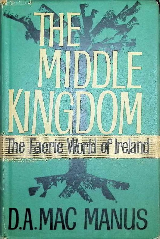
1959réf. 029064London 1959 Max Parrish Hardcover Good 1st Edition
1705Carta geografica raffigurante l'Inghilterra, la Scozia e l'Irlanda. Sulla destra si nota un grande e decorativo cartiglio in cui si trova iscritto non solo il titolo, ma sono indicate le città di Londra, Edimburgo e Dublino di cui sono riportate le rispettive coordinate. Nell'angolo in alto a sinitra, entro semplice riquadro, sono invece raffigurate le isole sotto il dominio della corona inglese che si trovano a nord della Scozia.
1955réf. 7424BBFreiburg im Breisgau, Verlagsanstalt Klemm-Erich Seemann, 1955. 47 S. Mit 5 Lithographien von Oskar Kokoschka. Orig.-Pappband. + Wichtig: Für unsere Kunden in der EU erfolgt der Versand alle 14 Tage verzollt ab Deutschland / Postbank-Konto in Deutschland vorhanden +, bild
1902réf. 26447Dublin: HMSO 1902. odd volume rebound in modern cloth paper label on spine text complete with folding maps charts etc 641 pages foxing affecting outer few leaves particularly but occasionally also in text. First Edition. Hard Cover. Good/No Jacket. Folio - over 12" - 15" tall. HMSO Hardcover
1964réf. 194541964. New-York E.P. Dutton & Co. Inc. 1964 e. o. américaine (pas de grand papier) - Cartonné bien complet de la jaquette 12 5 cm x 20 5 cm 91 pages - Texte en anglais de Lawrence Durrell envoi daté de 1969 de l'auteur à Alex et Nadia Blokh - Très bon état
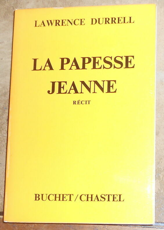
1974réf. 194531974. Paris Éditions Buchet-Chastel 1974 e. o. (pas de grand papier) - Broché couv. à rabat 14 cm x 20 5 cm 231 pages - Texte de Lawrence Durrell adapté de l'oeuvre de Emanuel Royidis trad. de Georges Belmont et Hortense Chabrier envoi de l'auteur à Alex et Nadia Blokh - Très bon état
réf. 110353London, Arthur L. Humphreys, 1911 fort in-8, XXII-437 pp., front., 53 pl. dont 11 en coul., index, carte dépl. en fin de vol., percaline verte (rel. de l'éditeur).
Dublin, John Browne, 1844. 4to.; II pp., 1 h., 391 pp. Encuadernación de época en piel marbreada con lomera ornada y tejuelo.
1860Carta geografica raffigurante l'Irlanda. Interessante la raffigurazione delle ferrovie e la suddivisione del territorio nelle sue province. Attraente coloritura coeva all'acquerello. Piccolo foro di tarlo
réf. 110959Paris, Chez Guillaume et Cie, Libraires-Editeurs, rue Richelieu, et aux Bureaux de la Revue Britannique, rue Drouot, 1850, 2 volumes in-8 de 225x140 mm environ, Tome I. 1f.blanc, un frontispice, viii-499 pages, 1f.blanc, - Tome II. 1f.blanc, faux-titre, titre, 503 pages, 1f.blanc, demi basane corail, titres dorés sur dos lisses, ornés de motifs romantiques dorés, tranches finement mouchetées. Dos insolés, frottements sur le cuir et le cartonnage, des appartenances sur les pages de garde, des notes et mouillures très claires dans les marges. Avec un frontispice dans le tome I.