Antiquariat.de
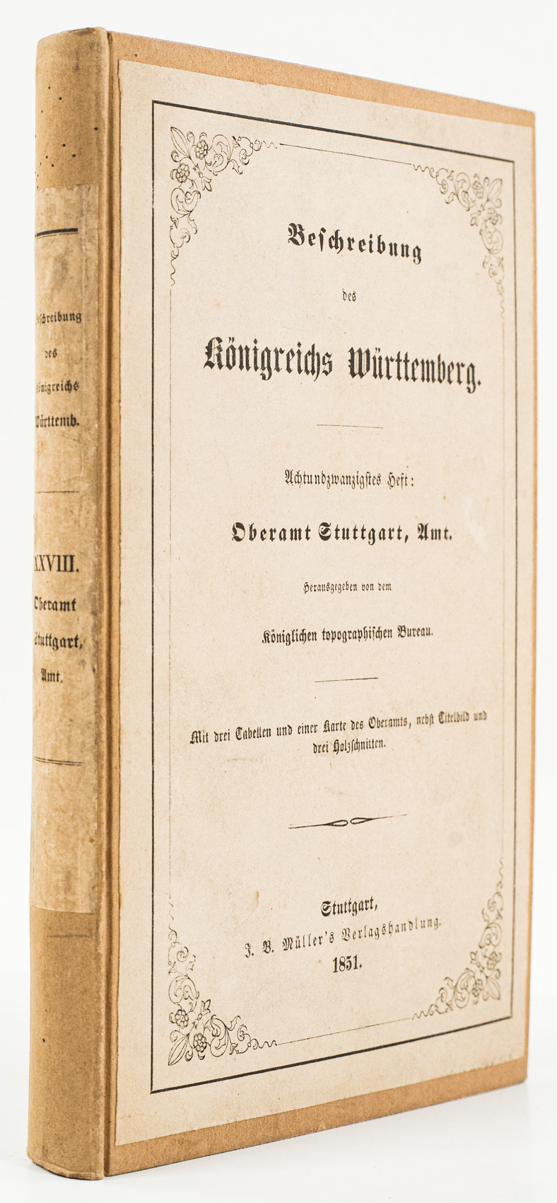
1851ref. 100259HBStuttgart:, Müller, 1851. 275 (1) Seiten, 1 lithographische Tafel, 1 lithographische Karte als Faltkarte, 3 gefaltete Tabellen, moderner Ppbd. unter Verwendung des Originalumschlags, 20 x 12 cm. [2 Warenabbildungen]
ref. 51270674-nnew. unknown
1993ref. 1-0195071107Oxford Univ Pr on Demand 1993. Hardcover. New. 9.75x6.50x1.75 inches. Oxford Univ Pr on Demand hardcover
1993ref. 50979Oxford University Press 1993. hardback. very good condition in a dust jacket with a moderate edgewear and spine fading. Oxford University Press hardcover
ref. ria9780226741413_inpPaperback / softback. New. New Book; Fast Shipping from UK; Not signed; Not First Edition; N/A paperback
ref. B9781019969601Hardback. New. hardcover
ref. 0331366916.Ghardcover. Good. Access codes and supplements are not guaranteed with used items. May be an ex-library book. hardcover
ref. 026094100X.Gpaperback. Good. Access codes and supplements are not guaranteed with used items. May be an ex-library book. paperback
ref. 0365040770.Gpaperback. Good. Access codes and supplements are not guaranteed with used items. May be an ex-library book. paperback
ref. 0365040991.Ghardcover. Good. Access codes and supplements are not guaranteed with used items. May be an ex-library book. hardcover
ref. B9781014736260Paperback / softback. New. paperback
ref. B9781013850790Paperback / softback. New. paperback
ref. B9781014106674Hardback. New. hardcover
ref. B9781013556333Hardback. New. hardcover
ref. B9781013921919Hardback. New. hardcover
ref. B9781014159922Hardback. New. hardcover
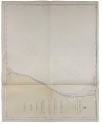
1916ref. 40693Washington D.C.: Published by the United States Coast and Geodetic Survey 1916. Nautical chart printed on heavy paper stock. Colored. A rare coastal survey of Florida from Sanibel Island to Fort Myers Beach including Naples and Marco Island. Established by President Thomas Jefferson in 1807 as the Survey of the Coast the U.S. Coast and Geodetic Survey was the United States' first civilian scientific agency. This agency has followed its mission to survey the U.S. coastline create nautical charts of the coast and help increase maritime safety since its founding and has often played fascinating roles in significant chapters of U.S. history. It served in all theaters of the Civil War in the service of the Union Army and Navy pioneered acoustic exploration in the wake of the sinking of the Titanic and during WWI it worked to detect enemy submarines. In addition this agency worked to survey and produce detailed maps and renderings of the U.S. coast. These nautical survey maps commonly referred to as "T-sheets" provide fascinating insights into the history of the United States coastline which has and will continue to shift. These maps are the most important data source for understanding the physical and ecological characteristics of the U.S. shoreline. The present map is a highly detailed and accurate sea chart of the coast around Fort Myers and an important historical view of a developing Florida. Published by the United States Coast and Geodetic Survey unknown
1916ref. 40693Washington D.C.: Published by the United States Coast and Geodetic Survey 1916. Nautical chart printed on heavy paper stock. Colored. A rare coastal survey of Florida from Sanibel Island to Fort Myers Beach including Naples and Marco Island. Established by President Thomas Jefferson in 1807 as the Survey of the Coast the U.S. Coast and Geodetic Survey was the United States' first civilian scientific agency. This agency has followed its mission to survey the U.S. coastline create nautical charts of the coast and help increase maritime safety since its founding and has often played fascinating roles in significant chapters of U.S. history. It served in all theaters of the Civil War in the service of the Union Army and Navy pioneered acoustic exploration in the wake of the sinking of the Titanic and during WWI it worked to detect enemy submarines. In addition this agency worked to survey and produce detailed maps and renderings of the U.S. coast. These nautical survey maps commonly referred to as "T-sheets" provide fascinating insights into the history of the United States coastline which has and will continue to shift. These maps are the most important data source for understanding the physical and ecological characteristics of the U.S. shoreline. The present map is a highly detailed and accurate sea chart of the coast around Fort Myers and an important historical view of a developing Florida. Published by the United States Coast and Geodetic Survey unknown books
1873ref. 67802Stockholm 1873. 8vo. Originalt typografisk omslag. Ubeskåret. 4 140 s. Sigfrid Flodins förlag Svensk. Lite nevn på foromslaget. Harriet Beecher Stowe 1811-1896 er mest berømt for å ha skrevet “Onkel Toms hytte”. Wikipedia skriver at hun var inspirert av den svenske litteratur og den danske kultur. unknown
2002ref. SKU0593708Pearson Custom Publishing 2002-01-01. paperback. Good. 0x0x0. Textbook May Have Highlights Notes and/or Underlining BOOK ONLY-NO ACCESS CODE NO CD Ships with Tracking Pearson Custom Publishing paperback
1930ref. acs05Daytona Beach Florida: Halifax River Bird Club 1930. Octavo black cloth hardcover gilt lettering xi 183 pp. Fair with articles pasted in upper hinge interior starting Halifax River Bird Club, 1930. hardcover books
1955ref. acs242Tampa Florida: Florida Grower Press Inc. 1955. Octavo navy blue cloth hardcover gilt lettering 208 pp. Very Good with light foxing age darkened spotting to endpapers. This volume of “Birds in Florida” has been especially prepared for Miss Lindy Fernandez and is given to her as a momento of Business Education Day. Illustrated in full color. Florida Grower Press, Inc., 1955. hardcover books
2026ref. x-1316518949Cambridge University Press 2026. Hardcover. New. 442 pages. 6.00x1.00x9.00 inches. Cambridge University Press hardcover
ref. 44447044-nnew. unknown
ref. 44447044like new. unknown