FloridaABAA

2 468 résultats
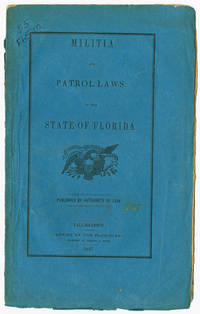
1847réf. WRCAM49540Tallahassee: Office of the Floridian 1847. 28pp. Original blue printed wrappers. Spine chipped minor soiling old ink call number on front cover. Minor foxing. Else very good. The first rules governing the militia for the new state of Florida with the first act establishing and organizing the militia in 1846 with subsequent acts laying out the duties of various officers and the rules governing the militia. Very rare. Servies records one copy at the University of Florida's P.K. Yonge Library of Florida History; OCLC records only five others. SERVIES 3239. AII FLORIDA 281. McMURTRIE FLORIDA 142. OCLC 28826102. Office of the Floridian unknown books
1847réf. 49540Tallahassee: Office of the Floridian 1847. Militia Laws of Florida The first rules governing the militia for the new state of Florida with the first act establishing and organizing the militia in 1846 with subsequent acts laying out the duties of various officers and the rules governing the militia. Very rare. Servies records one copy at the University of Florida's P.K. Yonge Library of Florida History; OCLC records only five others. Original blue printed wrappers. Spine chipped minor soiling old ink call number on front cover. Minor foxing. Else very good. SERVIES 3239. AII FLORIDA 281. McMURTRIE FLORIDA 142. OCLC 28826102. unknown
1924réf. 4914Newton IA: Newton Manufacturing Company 1924. Fold-out map 42 cm x 32 cm housed in small illustrated wrappers 12 cm. Map is in nice condition. Early touring map of Florida. Index of larger cities at the foot with locating coordinates. Inset map of the Florida Panhandle at the lower left. Early Florida highway routes and trails are located: Atlantic Highway; Bee Line Highway; Dixie Highway; Florida Short Route; Lee-Jackson Highway; National Highway; Old Spanish Trail; Tamiami Trail; Woodpecker Route. Inside cover of the front wrapper prints an advertisement for 'Orwin Manor: The Million Dollar Development of Orlando and Winter Park. Walter W. Rose Investment Co. Orlando.'. Newton Manufacturing Company unknown books
1924réf. 4912Chicago IL: Clason Map Company 1924. Fold-out map 42 cm x 32 cm housed in small printed tan wrappers 12 cm. Map is in nice condition. Early touring map of Florida. Index of larger cities at the foot with locating coordinates. Inset map of the Florida Panhandle at the lower left. Early Florida highway routes and trails are located: Atlantic Highway; Bee Line Highway; Dixie Highway; Florida Short Route; Lee-Jackson Highway; National Highway; Old Spanish Trail; Tamiami Trail; Woodpecker Route. Wrappers print an advertisement for the Daytona Beach development 'Daytona Highlands: Florida's Suburb of Hills and Lakes' which is located on the fold out map. "A unique residential development of the highest type. Inside city limits. City water city lights finest asphalt paving. Highest restrictions. Highest elevation on Florida east coast. Excellent golf course." The Daytona Highlands development began in 1924. Clason Map Company unknown books
1924réf. 4915Chicago IL: Clason Map Company 1924. Fold-out map 29 cm x 22.5 cm housed in small printed tan wrappers 8.5 cm. Map is in nice condition. Early touring map of Florida. Inset map of the Florida Panhandle at the lower left . Early Florida highway routes and trails are located: Atlantic Highway; Bee Line Highway; Dixie Highway; Florida Short Route; Lee-Jackson Highway; National Highway; Old Spanish Trail; Tamiami Trail; Woodpecker Route. Wrappers print an advertisement for the Daytona Beach development 'Daytona Highlands: Florida's Suburb of Hills and Lakes' which is located on the fold out map. "Inside the City Limits of Greater Daytona Beach a rapidly growing town of 20000 population." The Daytona Highlands development began in 1924. Clason Map Company unknown books
réf. ria9781118743928_inpHardback. New. New Book; Fast Shipping from UK; Not signed; Not First Edition; Microbiology of Drinking Water Production and Distribution addresses the public health aspects of drinking water treatment and distribution. hardcover
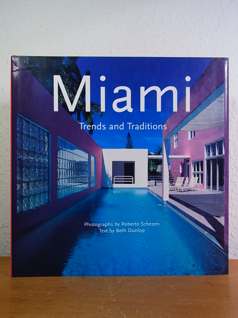
1996réf. 109481Köln: Edition Evergreen im Taschen Verlag, 1996. 29 cm ; Pp.
réf. 34273Miami/Florida, Miami Seaquarium/Public Information Office (Hg). 8°, zahlreiche farb. Abb., Einführung in englischer, spanischer, französischer und deutscher Sprache, sonst in englischer Sprache, Bezahlung per PayPal möglich, we accept PayPal, Einb. ger. beschabt u. min. bestoßen, ger. Gebr.sp., geheftet
1921réf. 40681Washington D.C.: Published by the United States Coast and Geodetic Survey 1921. Nautical chart printed on heavy paper stock. Colored. A rare coastal survey of Miami. Established by President Thomas Jefferson in 1807 as the Survey of the Coast the U.S. Coast and Geodetic Survey was the United States' first civilian scientific agency. This agency has followed its mission to survey the U.S. coastline create nautical charts of the coast and help increase maritime safety since its founding and has often played fascinating roles in significant chapters of U.S. history. It served in all theaters of the Civil War in the service of the Union Army and Navy pioneered acoustic exploration in the wake of the sinking of the Titanic and during WWI it worked to detect enemy submarines. In addition this agency worked to survey and produce detailed maps and renderings of the U.S. coast. These nautical survey maps commonly referred to as "T-sheets" provide fascinating insights into the history of the United States coastline which has and will continue to shift. These maps are the most important data source for understanding the physical and ecological characteristics of the U.S. shoreline. The present map is a highly detailed and accurate sea chart of the Miami area and an important historical view of a developing Florida. Published by the United States Coast and Geodetic Survey unknown
1926Copertina illustrata a colori in fascicolo originale completo de "La Domenica del Corriere" del 3/10/1926
1941réf. 90215Northpoint NY: Bacon Percy & Daggett 1941. Presumed First Edition First printing. Hardcover. Good. xx 202 pages. Illustrations. Maps. Chronology. Bibliography. Index. No dust jacket present. Some cover wear noted. Writing inside both covers. Some page soiling noted. This is one of the American Guide series. The cover title is "Guide to Miami and Environs". Foreword by Marjory Stoneman Douglas. The books in the series were to contain accurate and thorough accounts of American history according to a letter to State directors on the project. Each book's primary purpose was to not only outline the history of the individual states but the following as well: Geography Agriculture Tourist attractions Ethnic groups ArchitectureArts and Industry. Three different types of guides were published: state regional and city guides. Each guide had its own distinct features but followed the same uniform structure. The city guides had the most narrow scope out of all three types as the focus was on a single location. Because of this their maps could be in the greatest detail not only giving an overview of a city's layout but individual neighborhoods as well. City Guides highlighted points of special interest in greater detail. In the Philadelphia guide sites such as Carpenters' Hall and Girard College an-all boys boarding school in the city's northern section each had several pages dedicated to them. The maps that were included in each book added value to them as material objects and not just literature. With the increasing mobility afforded by the number of Americans who owned automobiles the guides served as reliable and durable resources for travelers moving throughout the country. The American Guide Series includes books and pamphlets published from 1937 to 1941 under the auspices of the Federal Writers' Project FWP a Depression-era program that was part of the larger Works Progress Administration in the United States. The American Guide Series books were compiled by the FWP but printed by individual states and contained detailed histories of each of the then 48 states of the Union with descriptions of every major city and town. The series not only detailed the histories of the 48 states but provided insight to their cultures as well. In total the project employed over 6000 writers. The format was uniform comprising essays on the state's history and culture descriptions of its major cities automobile tours of important attractions and a portfolio of photographs. Many books in the project have been updated by private companies or republished without updating. Although not then a state a guide for Alaska was published and also for Puerto Rico but not for Hawaii. If there had been room in Rocinante I would have packed the W.P.A. Guides to the States all forty-eight volumes of them.The complete set comprises the most comprehensive account of the United States ever got together and nothing since has approached it." — John Steinbeck Travels with Charley 1962. As part of the Federal Writers' Project established under the Emergency Relief Appropriation Act of 1935 and the Works Progress Administration over 6500 men and women were employed around the country as writers collecting stories interviews and photographs on a variety of subjects. The project attracted many unemployed writers and artists offering a wage of twenty dollars a week. President Franklin D. Roosevelt enlisted Henry Alsberg a journalist and playwright to head the project. As part of this the FWP developed and published a series of books that served as guides to the 48 existing states. Each book's primary purpose was to not only outline the history of the individual state but its culture and geography as well. Their predecessor Baedeker's Handbook for Travelers: United States lacked much of what was needed to give a picture of America during the 1930s. Alsberg insisted that the new series of books paint a picture of American culture as a whole and celebrate the nation's diversity. From 1937 to 1941 thousands of writers set out around the country to capture America's culture conducting fieldwork interviewing citizens and observing and recording folk traditions and local customs. Writers from all over the country sought to capture American culture during the Great Depression a difficult task given the dire circumstances. Alsberg tasked Benjamin A. Botkin a folklorist and scholar with running the folklore division of the project. Botkin was responsible for coordinating and managing the writers a task that was too large for Alsberg to handle as the volume of work coming in was plentiful for the project. In this role Botkin not only influenced the writers' folklore division but also had a great influence on their coverage of culture. The project's beginnings did not come without challenges. During its infancy various writers' organizations pressured the project because of the parameters that were set by the FWP. With the project bringing many established writers back into the workforce the Authors' Guild of America became aggressive in the pursuit of relaxing guidelines for the writers and also developed a disdain for the project's employment of writers with a lack of experience. With the FWP's main focus on creating jobs for the unemployed the Author's Guild and organizations similar to it continued to criticize the amateurism of many writers on the project. The solution to this critique was a simple one: find enough work for all of the writers. The roles of the writers enlisted to work on the project not only included their initial role as writers but also as photographers geographers and cartographers allowing the creation of additional white collar jobs. Bacon, Percy & Daggett hardcover
1941réf. ZB1279368Northport: Bacon Percy & Daggett 1941. first edition first printing; 202 pp. plates; original orange cloth hardcover very good in an edge-worn dust jacket. - If you are reading this this item is actually physically in our stock and ready for shipment once ordered. We are not bookjackers. Buyer is responsible for any additional duties taxes or fees required by recipient's country. Northport: Bacon, Percy & Daggett hardcover
réf. DADAX1498505724Lexington Books 2017-03-24. paperback. New. 5.85x0.53x9.09. Buy with confidence. Excellent Customer Service & Return policy. Lexington Books paperback
réf. SONG1498505724Lexington Books 2017-03-24. paperback. Used: Good. 5.85x0.53x9.09. Buy with confidence. Excellent Customer Service & Return policy. Lexington Books paperback
réf. ria9780198848042_inpHardback. New. New Book; Fast Shipping from UK; Not signed; Not First Edition; Based on the author's Clarendon Lectures this volume studies four water-borne poems by Rainer Maria Rilke Arthur Rimbaud Eugenio Montale and Karen Solie that each study a different aspect of 'the ship'. hardcover
réf. 1340229633.Ghardcover. Good. Access codes and supplements are not guaranteed with used items. May be an ex-library book. hardcover
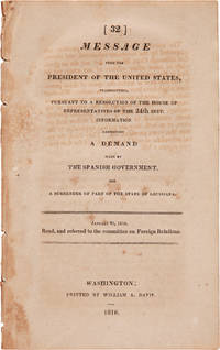
1816réf. WRCAM5200Washington 1816. 23pp. Dbd. Very good. Prints two letters from Onìs and Monroe's reply in which he complains of expeditions being arranged by Robinson and Toledo against Spanish claims. Onìs also continues his objections to the American seizure of West Florida. Monroe replies that these activities are beyond the jurisdiction of the U.S. and asserts that the cession of Louisiana includes the territory as far west as the Rio Grande. HOWES L502. STREETER TEXAS 1060. SERVIES 887. unknown books
1824réf. 26006Washington: Gales & Seaton 1824. Document 158 18th Congress 1st Session. 84pp faint rubberstamp at upper margin of page 3. Bound in modern cloth with spine title stamped in gilt bookplate on front pastedown. Very Good. Much material on the derivation and settling of land titles in Florida. Servies 1204. Gales & Seaton unknown books
1824réf. WRCAM41349Washington 1824. 84pp. plus folding table. Stitched. Uncut untrimmed some foxing folding table loose. Very good. An investigation into land claims in East Florida by Alexander Hamilton a commissioner of land titles. The report includes correspondence with Spanish agents related to the ownership of land and the precedence set by the Spanish government in the Florida territory. Hamilton was to determine with this correspondence the legitimacy of settler's claims to land in Florida. The table includes information about the settlers the date of their claims and the location and size of the tracts of land. unknown books
1816réf. 5200Washington. 1816. Prints two letters from Onìs and Monroe's reply in which he complains of expeditions being arranged by Robinson and Toledo against Spanish claims. Onìs also continues his objections to the American seizure of West Florida. Monroe replies that these activities are beyond the jurisdiction of the U.S. and asserts that the cession of Louisiana includes the territory as far west as the Rio Grande. 23pp. Dbd. Tanned and foxed otherwise a good clean copy. HOWES L502. STREETER TEXAS 1060. SERVIES 887. unknown
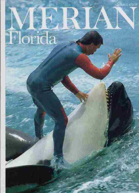
1990réf. 26290Hamburg, Hoffmann u. Campe Verlag, 1990. 43. Jahrgang, Heft 10. zahlr. teilw. farb. Abb., 1 Karte, 170 S., 4°, OBr.,
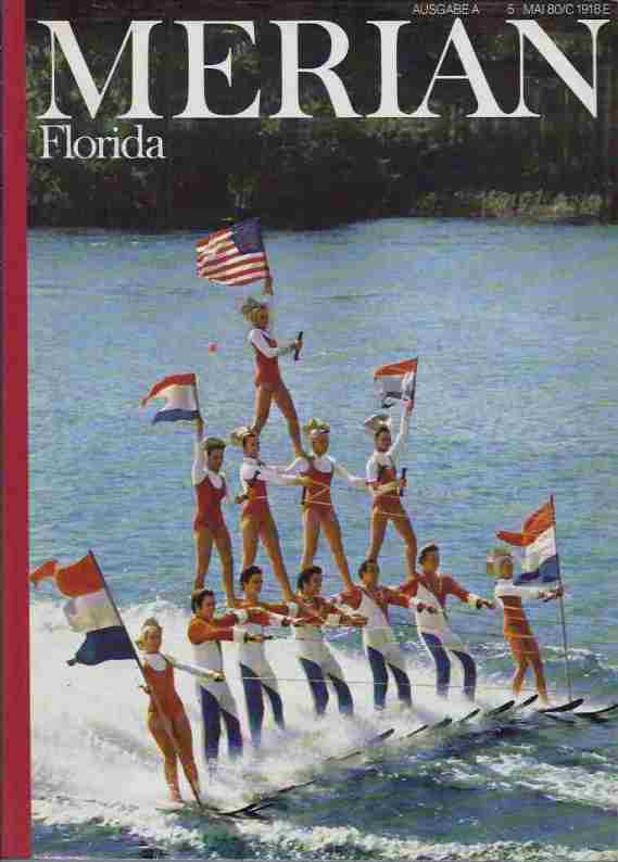
1980réf. 21880Hamburg, Hoffmann u. Campe Verlag, 1980. 33. Jahrgang, Heft 8. zahlr. teilw. farb. Abb., 1 Karte, 136 S., 4°, OBr.
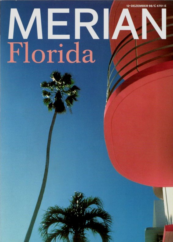
1998réf. 31258Hamburg, Hoffmann u. Campe Verlag, 1998. 51. Jahrgang, Heft 12. zahlr. teilw. farb. Abb., 1 Karte, 138 S., 4°, OBr.
1998réf. 44365Hamurg, Hoffmann und Campe Verlag, 1998. 129 Seiten , 27 cm, kart.,
2005réf. DADAX0739108204Lexington Books 2005-09-08. hardcover. New. 6.32x0.75x8.96. Buy with confidence. Excellent Customer Service & Return policy. Lexington Books hardcover