BERTHIER, Marc P.G.MareMagnum

3.474 Ergebnisse
197420x15. 187p. Firma anterior poseedor. Ilstr. M. P. G. Berthier. Caligrafía D. Huguenin.
196122x15. 285p. Fotogr. Ilstr. Trad. y apéndice R. Candel Vila, R. Candel Comas. Enc. Tela ed. Sobrecubierta.
199625x18. 328p. Fotogr. Mapas. Enc. 1/2 tela cart. Ed.
1820In -4°, pp. VIII, (4), 591; legatura in mezza pelle con titolo e fregi al dorso. Con un appunto autografo di navigazione incollato a p. 327 In-4°, pp. VIII, (4), 591; half calf binding with ornaments and title at the back, with autographic note glued on page 327
1809115pp Fair/none Prima (unica?) edizione, copertina cartonata coeva consunta, con piatto anteriore staccato, mancante di sguardia (frontespizio come prima pagina), tracce di polvere ma internamente buono, a fogli ancora chiusi.
1945over 700pp tot. NB: please note that the item offered for sale is NOT a physical book; it is an e-book consisting of a CD-ROM disc containing a readable file in PDF format. Please also note that this disc does not contain video or audio files and will not play on a home CD/DVD player. Imperfect scanning of the report with misalignments and shades but complete and fully readable both in text and illustrations, with a faint diagonal watermark in the foreground on the pages. From the Introduction: “In this Final Report each of the Division 14 projects is discussed. (..) The purpose of this report is to present enough of the administrative detail, technical advances, production data and operational use so that the separate contracts and the individual projects undertaken may be seen as parts of the whole development and may be followed, though briefly, from start to finish. References are given to more detailed technical reports wherever possible.” Profusely illustrated by b/w pictures, diagrams and tables. There are most interesting pictures and data of apparatus and radar installation which had not been published elsewhere. A very scarce publication, rarely found for sale. This report reviews the massive effort on the development of Radar, LORAN navigation system and associated components undertaken at the MIT Radiation Laboratory and related Organisations and Contractors during WW2. Produced by the Division 14 (RADAR) of the National Defence Research Committee (NDRC) it covers a wide range of Radar components, subsystems and techniques such as antennas, magnetrons, klystrons, indicators, switches, waveguides, LORAN system, fire control systems etc. with technical data, cost information, current project status, delivered quantities, etc. Even with its imperfect scanning process and its defects, this ebook is a must for any WW2 Radar historian or enthusiast as it offers a wealth of information not readily available from other sources on the technical development of Radar in those critical times.
1879230pp + chart VG/none First (only) edition, full title: Navigation and Nautical Astronomy with Special Table, Diagram and Rules Adapted for Navigating Iron Ships. Editorial blue cloth, gilt lettering on front board and spine, spine slightly darkened, rubbed and worn at head and tail (see photo), small private ex-libris label on pastedown, otherwise in VG conditions. Book devoted to methods of navigation and related calculations (nautical astronomy and stellar observations), with a folded chart (Napier diagram) and a Corrigenda slip pasted in. A nice copy of a very scarce book, no copies shown in the British Library, one copy reported in the BNF. Original edition, not a modern reprint or reproduction.
1855280pp, index, 19pp + 2 plates, 332pp + table VG/none First edition, in French. Contemporary binding green hardback with gilt decoration and lettering on spines, binder’s and owner’s labels on pastedown of vol. I, previous owner presentation on preliminary, slightly offset on title, occasional light foxing inside, nice volumes overall in G-to-VG conditions. First two volumes of a 5-volume series printed between 1855 and 1860, each independent. Included in the first volume two plates containing maps (folded in the photos) of the Isthmus of Suez and of the Navigation Routes between European and American ports and the Indies. Prima edizione, in francese. Rilegatura coeva copertina rigida verde con decorazioni e scritte dorate al dorso, etichetta rilegatore e ex-libris sul retro della copertina, scritta proprietario al foglio preliminare leggermente trasmessa al frontespizio, sporadiche fioriture all'interno, nel complesso in condizioni piu' che buone. Primi due volumi, a se' stanti, di una serie di cinque pubblicata tra il 1855 e il 1860. Nel vol. I incluse due mappe ripiegate (Istmo di Suez e Rotte di Navigazione tra i porti europei ed americani e le Indie).
1683Un foglio stampato su due lati, cm. 39 x 49, proveniente dal celebre volume di Meyer, “L’arte di restituire a Roma la tralasciata navigazione del suo Tevere” (Roma, Camera apostolica, 1683). In queste pagine l’ingegnere descrive la storia del porto di Ancona, il suo declino in conseguenza dell’innalzamento del suo fondo, ed espone un progetto di recupero dello stesso. Il testo è stampato su due facciate, e su una delle due troviamo la grande veduta incisa della città e del porto. Condizioni non perfette, lacuna restaurata nella parte centrale. This leaf, printed on both sides, derives from the notorius Meyer’s work: “L’arte di restituire a Roma la tralasciata navigazione del suo Tevere” (Roma, Camera apostolica, 1683). In these pages the engineer tells about the Ancona port, and about its downhill, suggesting a project to retrieve it. A big etched sight of the city and its port. A restored gap in leaf’s central area.
1681Il foglio (cm. 50 x 38,5) deriva dal volume del Meyer (“L’arte di restituire a Roma la tralasciata navigazione del suo Tevere”) ma - come nel volume - include la dicitura dello stampatore (Tinassi). Vistoso restauro al centro della pagina. This leaf, printed on both sides, derives from the notorius Meyer’s work: “L’arte di restituire a Roma la tralasciata navigazione del suo Tevere” (Roma, Camera apostolica, 1683). As like in the volume, the etching includes the printer’s note (Tinassi). Restoration at center of the leaf.
1762In-4°; pp. 24, (2) 1 cb, un rame al frontespizio, due bei capilettera figurati, un finalino e una testatina (Gabbuggiani) incisi su rame. Per foenus nauticum si intendeva nel commercio marittimo il negozio in cui i creditori si assumevano il per le perdite fortuite, pattuendo interessi elevati; veniva anche chiamata usura maritima. Senza legatura; piccolo timbro a inchiostro di libreria al frontespizio.
1892In -folio, 68 pp. che includono sei tavole di cui una doppia. Brossura editoriale, dorso mancante.
1898In -4°, pp. 15 più una grande carta più volte ripiegata. E’ la riproduzione fotozincografica della carta di Dalorto, che rappresentava con notevole dettaglio per l’epoca la costa del Nord Europa. It’s the photozincographic reprodution of Dalorto’s Map, detailing the Northern European Coast.
1782In 4°, pp. (2), VIII, 263, (1). Legatura alle armi in pieno marocchino, titolo al dorso, tagli rossi. Le dodici tavole di cui si parla sono la prima codificazione scritta del diritto romano, la cui redazione risale alla metà del V secolo a.C. Questo corpus deriva dai “mores”, cioè l’insieme di leggi che avevano fino allora codificazione orale. Secondo Tito Livio e altre fonti antiche, allo scopo di produrre le dodici tavole, il Senato romano inviò in Grecia una delegazione di ambasciatori per studiare le leggi di Atene e di altre città. Le tavole, non si sa di quale materiale, sarebbero state affisse nel Foro e distrutte nel sacco di Roma del 390 a.C. All’epoca della dissertazione di Stramigioli, abate pesarese, sulla scia delle obiezioni di Vico e della riflessione sul diritto romano apertasi nel XVIII secolo, si era aperto un dibattito secondo il quale i Romani non avrebbero fatto questa spedizione: fra i sostenitori di questa ipotesi troviamo Francesco Maria Ganassoni, al quale lo Stramigioli si rivolge direttamente nelle prime tre sue dissertazioni. Curiosa e originale la quarta dissertazione, nella quale si affronta il tema della nautica e della capacità romana di navigare in epoca romana. Alle sette dissertazioni sulle XII tavole se ne aggiunge un’ottava (“sopra le correnti gramatiche della lingua latina”) in cui l’autore contesta il metodo corrente per insegnare “a’ fanciulli detta lingua col mezzo delle medesime”. 2 According to some studies, the XII plates, i.e. the oldest written codification in Roman law, couldn’t have a Greek source. Stramigioli strongly sustains, in this work, that a Roman delegation was on the contrary sent to Athens, to put together this code. In the fourth dissertation the author address the issue to the Roman ability to sail (and so going to Greece).
1917227pp + index VG/none PB printed editorial wrappers, minimal tear on the back and light traces of dust, overall a very good copy, clean inside. Important work on the subject (Longitude), won a prize from the Academie des Sciences. In French. This is the original edition, not a modern reprint. Photos available on request. brossura editoriale con lievi tracce di polvere e infimo strappo sul retro, nel complesso in ottime condizioni e fresco internamente. Importante opera sulla storia della determinazione della longitudine, premiata dall'Accademia delle Scienze francese. In francese. Edizione originale, non ristampa moderna. Immagini disponibili su richiesta.
1862384pp + XVIII plates Fair/none Probably 3rd edition (first published in 1850). Original editorial blue cloth with gilt lettering on board and spine, boards worn and stained, spine rubbed, partly loose and frayed at head and tail, signs of dust on pastedown and endpapers, internally good. Manual of hydrology, containing I Hydraulic and Other Tables, II Rivers, Flow of Water, Springs, Wells, and Percolation, III Tides, Estuaries and Tidal Rivers, IV Rainfall and Evaporation. Includes an Errata slip inserted at p.1 and 18 folded plates at the end.
1891511pp + cat. VG/none First edition. Editorial green cloth, bright gilt lettering on spine, minimal wear on upper corner, some mild foxing on endpapers, private ex-libris on pastedown, overall a VG copy. The three volumes of Thomson’s Popular Lectures and Addresses were published at different times (this was issued before Vol. II). Volume III comes with its own Index and it is devoted to navigation and marine science. From the Contents: Navigation, The Tides, Terrestrial Magnetism and the Mariner’s Compass, On Deep-Sea Sounding by Pianoforte Wire, On Lighthouse Characteristics, On the Forces Concerned in the Laying and Lifting Deep-Sea Cables.
193087pp G-VG Not dated, presumably first edition (1930s). Editorial green cloth, white lettering on board and spine, boards slightly warped, traces of dust on cover and pastedowns, small number inscribed on frontespice, internally very good, overall a good copy. Book devoted to the precision echo sounding technique and its application to hydrographic work, profusely illustrated by b/w pictures and diagrams, it includes an Errata on the preliminary pages.
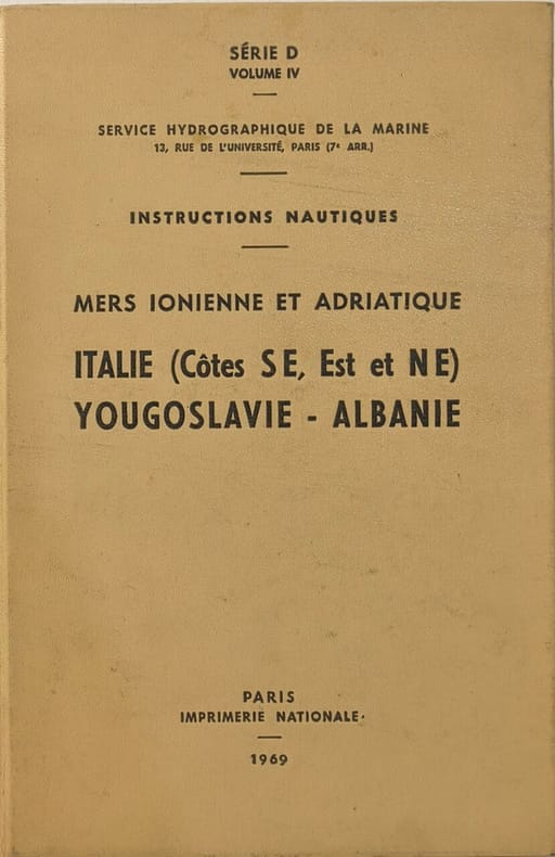
1969Best.-Nr. 3629Imprimerie nationale 1969 390 pages in8. 1969. reliure editeur. 390 pages. Ouvrage technique du Service Hydrographique et Océanographique de la Marine (SHOM) fournissant des informations nautiques détaillées pour la navigation le long de la côte sud-est de l'Italie et en mer Adriatique. Il complète les cartes marines avec des renseignements généraux pratiques et réglementaires essentiels pour les navigateurs
1972Best.-Nr. 3638Service Hydrographique et Océanographique de la Marine 1972 22 pages in8. 1972. agrafé. 22 pages. Ce fascicule est une publication du Service Hydrographique et Océanographique de la Marine (SHOM) qui contient les corrections à apporter aux Instructions Nautiques documents essentiels pour la navigation maritime. Il s'agit d'un document technique officiel destiné à maintenir à jour les informations de sécurité en mer
1999Best.-Nr. 3659Les Editions de Paris-Max Chaleil 1999 174 pages 21x13x2cm. 1999. broché. 174 pages.
1992Best.-Nr. 4300Payot 1992 302 pages in8. 1992. broché. 302 pages. Récit de voyage de Louis Garneray peintre et aventurier français du XIXe siècle relatant son séjour à Zanzibar et ses expériences dans l'océan Indien mêlant observations ethnographiques aventures personnelles et descriptions des paysages et sociétés rencontrées
1952Best.-Nr. 4733Editions de Paris 1952 200 pages in8. 1952. broché. 200 pages.
2000Best.-Nr. 4737Glénat / Hommes et oceans 2000 200 pages in8. 2000. broché. 200 pages.
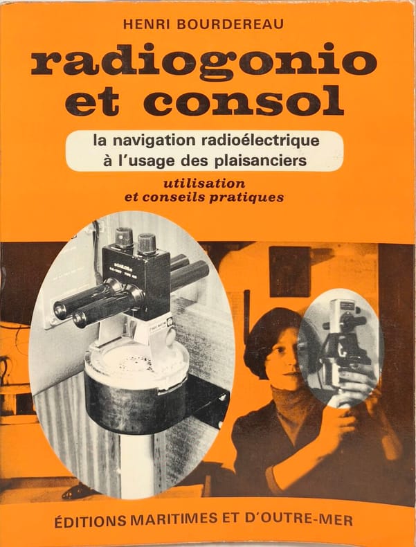
1969Best.-Nr. 5532Éditions maritimes et d'outre-mer 1969 107 pages in8. 1969. broché. 107 pages. Ce manuel pratique de 107 pages publié en 1974 explique l'utilisation des systèmes de navigation radioélectrique (radiogoniomètre et Consol) à destination des plaisanciers. Il fournit des conseils pratiques et est illustré