KEATE ,GeorgeLivre Rare Book
3.449 Ergebnisse
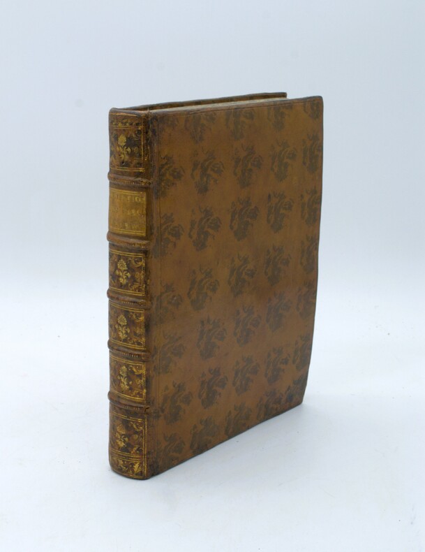
1788Best.-Nr. PHO-1658Paris, Le Jay & Maradan, 1788, in-4, relié plein veau moucheté époque, dos à nerfs avec pièce de titre, XIV-(1)-384 pp., illustré d’un frontispice ,1 gde carte h.-t. et 14 pl. h.-t., petit travail de ver en marge sur 3 feuillets.
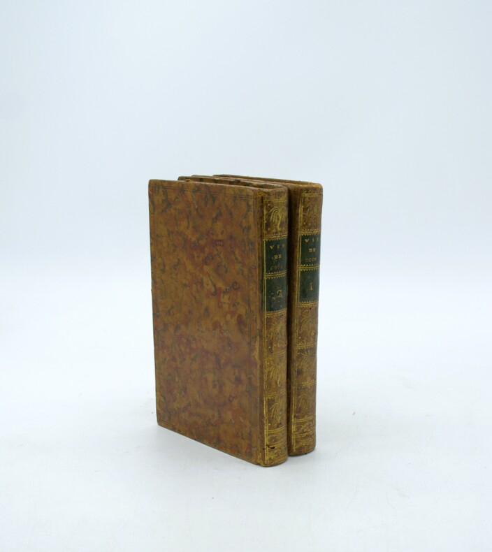
1793Best.-Nr. PHO-1089Paris, Maradan, 1793. 2 volumes in-8 (20 x 12,5 cm), veau moucheté, roulette dorée en encadrement, dos lisse orné, pièces de titre et de tomaison , (reliure époque). Seconde édition de la traduction française établie par le comte de Mirabeau, illustrée d'un portrait frontispice , de 3 portraits gravés Massard, Madame de Gouy et Mademoiselle Jouan, dont ceux du roi Abba Thulle et de sa famille ; et de 13 planches dépliantes (carte, plan, vues et objets ethnographiques), certaines signées par Pierre-François Tardieu.
1793Best.-Nr. PHO-1088Paris, Maradan, 1793. 2 volumes in-8 (19,5 x 13 cm), veau racinée, roulette dorée en encadrement, dos lisse orné, pièces de titre rouge et de tomaison verte, (reliure époque). Seconde édition de la traduction française établie par le comte de Mirabeau, illustrée de 3 portraits gravés Massard, Madame de Gouy et Mademoiselle Jouan, dont ceux du roi Abba Thulle et de sa famille ; et de 13 planches dépliantes (carte, plan, vues et objets ethnographiques), certaines signées par Pierre-François Tardieu.
1789Best.-Nr. P1-2LBasil, Tourneisen, 1789. In-8 (210x130mm), relié pleine basane époque, dos orné, pièce de titre, liseré or sur les plats, XVI-381pp. Grandes marges, , petits manques au plat . La relation se compose en partie d’entretiens avec Henry Wilson, capitaine de « Antelope » qui fut naufragé en août 1883 sur un récif près de Kotor.
1893pp. vii, 524 + Plus frontis and folding map of Greenland. Profusely illustrated with photographs and drawings. Inked Christmas gift inscription. Stamped ownership of Robert Hoffsommer. Large 8vo. Original full red cloth binding, gold lettered. Front cover silver vignette of ship in the polar seas. Beveled edges. Top rear hinge repaired. Binding slightly soiled. "The expedition of 1891-1892, sponsored by the Academy of Natural Sciences of Philadelphia, was under command of Peary until he left the ship, and then under Prof. A. Heilprin. The personnel included zoologists and botanists" - Arctic Bibliography 8484. FIRST EDITION. **PRICE JUST REDUCED! POLAR 2.
1992New New Turkish Original bdg. Dust wrapper. 4to. (33 x 23 cm). Edition in Turkish. 159, [1] p., color ills. Turkish Edition of the Ottoman nautical charts and the Atlas of Ali Macar Reis. 16th century Ottoman nautical charts figure significantly in the history of cartography. Dating from the time when the Ottoman Empire was approaching its zenith of wealth and power, these charts are a valuable source of information about the history of the period. The work of the Ottoman privateers who then held sway over most of the Mediterranean, these charts cover a geographical area far beyond the bounds of the Ottoman Empire. as rulers of an expanding empire, the Ottoman sultans took a close interest in mapmaking and may well have commissioned their sea captains to draw the charts. When Piri Reis presented his first world map to Sultan Selim I, conqueror of Egypt, in 1517, the sultan is said to have declared, "How small is the world for a conqueror.".
1992Fine Fine English Original bdg. Dust wrapper. Folio. (33 x 23 cm). In English. 159, [1] p., color ills. Ottoman nautical charts and the Atlas of Ali Macar Reis. 16th century Ottoman nautical charts figure significantly in the history of cartography. Dating from the time when the Ottoman Empire was approaching its zenith of wealth and power, these charts are a valuable source of information about the history of the period. The work of the Ottoman privateers who then held sway over most of the Mediterranean, these charts cover a geographical area far beyond the bounds of the Ottoman Empire. as rulers of an expanding empire, the Ottoman sultans took a close interest in mapmaking and may well have commissioned their sea captains to draw the charts. When Piri Reis presented his first world map to Sultan Selim I, conqueror of Egypt, in 1517, the sultan is said to have declared, "How small is the world for a conqueror.". A very heavy volume.
1979Best.-Nr. xl1729Editions Atlas Cartonné avec jaquette 1979 In-4 (23,2 x 30 cm), cartonné avec jaquette, 287 pages, nombreuses illustrations en noir et blanc et couleur dans le texte ; coiffes, coins et bords de la jaquette usés, par ailleurs intérieur frais, bon état général. Livraison a domicile (La Poste) ou en Mondial Relay sur simple demande.
1974221pp. + 17 bl/w ills. out of text + 2 folding maps, 24cm., softcover, text in German, Doctoral Dissertation (Dissertation zur Erlangung des Doktorgrades der Naturwissenschaften der Universität Hamburg im Fachbereich Geowissenschaften), stamp at verso of title page, text is clean and bright, A110492
1974Best.-Nr. A110492Hamburg, 1974 221pp. + 17 bl/w ills. out of text + 2 folding maps, 24cm., softcover, text in German, Doctoral Dissertation (Dissertation zur Erlangung des Doktorgrades der Naturwissenschaften der Universität Hamburg im Fachbereich Geowissenschaften), stamp at verso of title page, text is clean and bright, A110492
1966Best.-Nr. lr462Flammarion L'Aventure Vécue Cartonné 1966 In-8 (15,2 x 21 cm), cartonné, 264 pages, iconographie en noir et blanc ; dos jauni, par ailleurs bon état. Livraison a domicile (La Poste) ou en Mondial Relay sur simple demande.
Folio, docket title, 4, [2]pp., stitched and folded as issued.
Best.-Nr. PHO-2382Paris, Typographie Firmin Didot Frères, sd, 1 volume in-8 (25x16cm), xxvii-502pp., brochage éditeur, pas de page de titre, défauts d’usage, non coupé, non rogné, tel que paru.
1908[62] planches sous serpentes, avec texte et illustrations (photographies), frontispice de m. Flori Van Acker, in oblong (25x38cm.), reliure cart. d'éditeur avec traces d'usage, texte et intérieur en bon état, B105898
1908Best.-Nr. B105898Bruges, Impr. Herreboudt 1908 [62] planches sous serpentes, avec texte et illustrations (photographies), frontispice de m. Flori Van Acker, in oblong (25x38cm.), reliure cart. d'éditeur avec traces d'usage, texte et intérieur en bon état, B105898
1975Complete in 2 volumes, 241pp. + 136 bl/w illustrations out of text, with 2pp. Theses, 28cm., Doctoral Dissertation, illustrated softcovers, stamp at verso of title page, text is clean and bright, weight: 1kg., S112621
1975Best.-Nr. S112621Utrecht, 1975 Complete in 2 volumes, 241pp. + 136 bl/w illustrations out of text, with 2pp. Theses, 28cm., Doctoral Dissertation, illustrated softcovers, stamp at verso of title page, text is clean and bright, weight: 1kg., S112621
1934pp., 24cm., text in German, Doctoral Dissertation, (Inaugural-Dissertation zur Erlangung der Doktorwürde genehmigt von der Philosophischen Fakultät der Rheinischen Friedrich-Wilhelms-Universität zu Bonn), stamp at verso of title page, text is clean and bright, X109964
Barcelona, Editorial Juventud, 1940. 4to. menor; 197 pp y 8 láminas con fotogramas de la película homónima y tres hermosas viñetas xilográficas, anónimas. Cubiertas originales.
1789Best.-Nr. PHO-2082Paris, Hôtel de Thou et Lyon, Bernuset & Comp., 1789. 2 vol. in-8° de xl, 387, [1] pp. ; 419, [1] pp. Basane fauve jaspée, dos long orné de fers à la corne d'abondance & aux épis de blé, p. de t. et de tom. en maroquin vert, double filet à froid sur les plats, filet doré sur les coupes, tranches marbrées (Reliure de l'époque). Quelques épidermures et 4 trous de vers à la reliure. Bon exemplaire. Mention ms. d'achat : « 18 février 1789, 6 [livres] les 2 vol. brochés ».
19438" x 9" stiff beige card folded in half to form four-panel booklet. "Gives a close approximation of figures used in actual problems, sufficient for proof of correct application of formulas; and eliminates the necessity of remembering rules for obtaining the various quantities." - from second panel. Third panel contains rotating map and three independently rotating arrows representing the sun, vernal equinox, and stars, which may be positioned to make the appropriate calculation. Unmarked. Moderate wear and soiling. A sound example of this intriguing tool. Book
Best.-Nr. 67092Berlin, Verlag der hofbuchhandlung Karl Siegismund 1905, 240x155mm, 164Seiten, Perkalineinband. Schönes Exemplar.
1977Best.-Nr. 10621Delius. Klasing & Co, Bielefeld, Berlin, 1977. 632 S., 8°, 16. Auflg., m. Zeichnungen v. G. Holler u. H. Peters, 1 Funkortungskarte + 1 Übungskarte Mündungen der Jade und Weser, OKstLdr., OS m. Randläsuren, das Buch selbst ist in einem guten Zustand
First Edition, stain on upper outer corner of 8pp. touching the text of one leaf, 16pp., stitched as issued, uncut. Includes reports on the surveys submitted by William Chapman, and Ralph Burton on a proposal to link Knaresborough by canal to the River Ure, or River Ouse. Skempton, 240.
1966610p. illus. Hardcover Very good condition good