Ecole NavaleLivre Rare Book
3.480 Ergebnisse
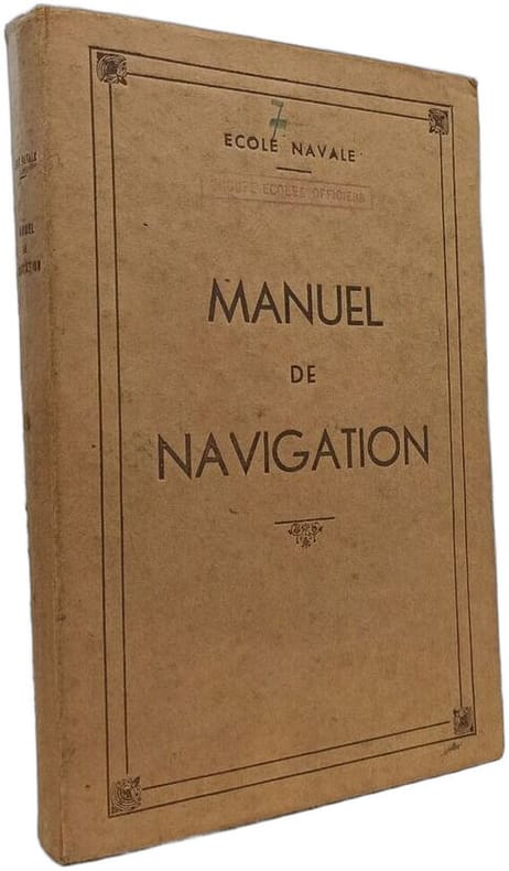
1945Best.-Nr. 100151085Imprimerie de la Marine 1945 in8. 1945. Cartonné. Ce manuel de navigation édité par l'imprimerie marine pour l'École navale est un ouvrage technique destiné à remplacer le 'Guide de navigation de l'École navale'. Il fournit un cours structuré sur les principes de navigation à l'usage des officiers de la Marine française
Best.-Nr. 996Paris, imp. Maulde et Renou - s.d. (v. 1850) - 5 planches dépl., 220 pp. de Tables Astronomiques - in-8 : 402 pp. - demi-rel. verte de l’ép.
Best.-Nr. 10496Paris ROBIQUET 1844, In-8 demi basane blonde, dos lisse. 2 planches dépliantes ;352+219 p.,
Best.-Nr. ORD-4697Tome 1: Les routes. Tome 2: Navigation. Occupation du Sol. Paris. Picard. 1934. 2 volumes in-8 (150 x 223mm) dos basane fauve, racinée, à 4 nerfs, pièces de titre et de tomaison vertes, plats et gardes jaspées, 3ff., 1095 pages, 368 figures et 5 planches rempliées. Pagination continue entre les 2 tomes. Petits défauts aux reliures sans impact sur leur solidité, très bon état intérieur.
Best.-Nr. 4531[Paris] - Challamel - [c. 1910] In-8° percaline éditeur noisette, dos orné . Nombreuses figures in-texte. Ex-libris déchiré à la garde et découpé à la page de titre du premier volume. Bon état.
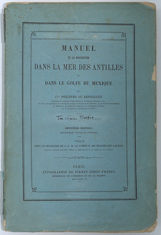
Best.-Nr. PHO-2382Paris, Typographie Firmin Didot Frères, sd, 1 volume in-8 (25x16cm), xxvii-502pp., brochage éditeur, pas de page de titre, défauts d’usage, non coupé, non rogné, tel que paru.
Best.-Nr. 27456un feuillet ancien XVIIIe s.,2p.- 30x22 cm,- dessins PROFILS de la cote
Best.-Nr. QWA-5987Société d'Editions Géographiques Maritimes et Coloniales, 1947, 171 p., in-8 br., 2ème édition, 26 fig., très bon état
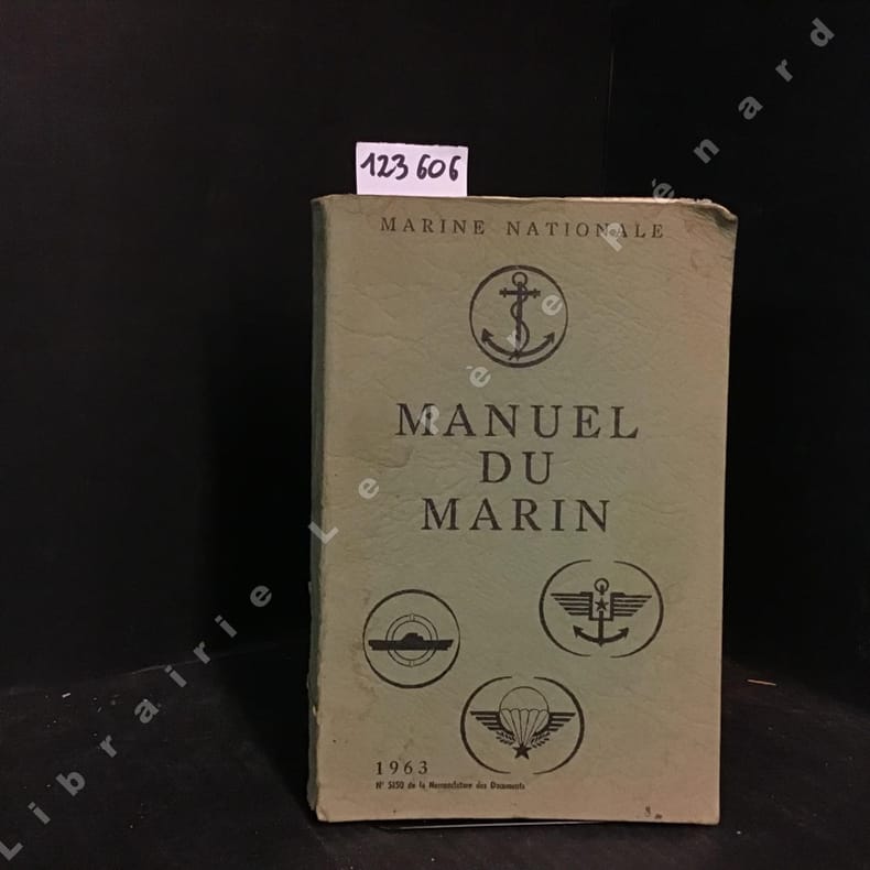
1963Best.-Nr. 1236061963 Editions non-renseignées - 1963 - In-8 broché - 267 pages - Illustrations et dépliantes en N&B et en couleurs dans l'ouvrage
Best.-Nr. M16949Couverture souple P , Imprimerie nationale , 1958 , 2 vols grand in 8 brochés , 601 pp - 157 planches souvent dépliantes. Couvertures défraichies , intérieurs très frais . Langue: Français
Best.-Nr. VLE-666P., Challamel, 1914, in-8, 136pp. illustrées de 64 figures broché, couverture usagée
Madrid, Escelicer, 1945. Conserva cubierta original. Numerosas ilustraciones en b/n. 288p. Alguna página desplegable. 8º. Holandesa con lomo de tela con tejuelos y dorados conservando la cubierta anterior original. Guardas decoradas. Leves puntos de óxido en primeras páginas. Ex libris. Muy buen ejemplar. 1ª edición. Primera edición.
1862384pp + XVIII plates Fair/none Probably 3rd edition (first published in 1850). Original editorial blue cloth with gilt lettering on board and spine, boards worn and stained, spine rubbed, partly loose and frayed at head and tail, signs of dust on pastedown and endpapers, internally good. Manual of hydrology, containing I Hydraulic and Other Tables, II Rivers, Flow of Water, Springs, Wells, and Percolation, III Tides, Estuaries and Tidal Rivers, IV Rainfall and Evaporation. Includes an Errata slip inserted at p.1 and 18 folded plates at the end.
1939pp. M-1 to M-48; C-1 to C-118. Illustrated with photographs and drawings. Pictorial endpapers. Ownership label of Elizabeth Tunis, Reisterstown, Md. 4to. Original full cloth backed pictorial paper binding with rope design. Extremities worn. Small loss bottom front cover. Hardbound. Very Good+ **PRICE JUST REDUCED! NAVAL/1
1943Roy. 8vo., Second Impression, with 25 photographic plates and 28 folding plates on lighter stock (one poorly folded); cloth, gilt back, case mildly shaken (but binding entirely sound) else a good, clean copy. Sold from the library of the Military College of Science with its stamps on free endpapers. Publication code CD 210/41- June 1941. The 1941 edition replaced the previous issue of 1931.
PARIS, Imp. Nationale - 1913 - 1ère édition - In-12 - Reliure éditeur (tachée) - complet des 2 parties en 1 volume - Illustrations et tableaux NB dans le texte et hors texte, 15 planches de pavillons en couleurs in fine - 660 pages - Frais intérieurement
1975Best.-Nr. 2090202120403487Kaibundo shuppan 1975. Soft Cover. Fine. Number of books: 1 Kaibundo shuppan paperback
1899Best.-Nr. 70852Richmond VA: Virginia Navigation Co 1899. First edition. Broadside lithograph Hoen & Co. Richmond 12 ¼ x 16 ½ inches in four colors "showing steamer route and landings; also shows battlefields light-houses canals and stage lines . includes promotional text verso for the company and route up the river from Norfolk to Richmond" OCLC. "James River day route between Richmond Old Point Comfort Portsmouth Norfolk Newport News Jamestown and James River Landings." OCLC locates four copies New York Public Alabama Virginia Wisconsin Historical Society. Folded to narrow 8vo. a little browning verso tear into one fold still very good. Virginia Navigation Co unknown
1899Best.-Nr. 70852Richmond VA: Virginia Navigation Co 1899. First edition. Broadside lithograph Hoen & Co. Richmond 12 ¼ x 16 ½ inches in four colors "showing steamer route and landings; also shows battlefields light-houses canals and stage lines . includes promotional text verso for the company and route up the river from Norfolk to Richmond" OCLC. "James River day route between Richmond Old Point Comfort Portsmouth Norfolk Newport News Jamestown and James River Landings." OCLC locates four copies New York Public Alabama Virginia Wisconsin Historical Society. Folded to narrow 8vo. a little browning verso tear into one fold still very good. Virginia Navigation Co unknown books
1888Best.-Nr. 0009730New York 1888. First edition. Map. Fine. 15 x 11 inches / 36 x 26 cm 3 folds matted glazed and framed. Very Scarcce This map was removed from an Annual Report. The black-and-white map shows the boundaries of Illinois in outline presenting the Illinois River improved passage from Chicago to Grafton where it pours into the Mississippi River. It also shows the Rock River traversing to the Quad Cities. Toward the east is the Illinois & Michigan Canal the DesPlaines River the Little Calumet River and the Little Kankakee River and Calumet Harbor. The map is attributed to Thomas H. Handburg. The University of Illinois-Urbana has a photocopy of it from the photocopy in the National Archives. I have not identified to which Annual Report this belonged Nor can I find another map attribued to Thomas H. Handburg. unknown
1984243 pages including index and glossary. Normal library markings. Abover average wear to boards with portion of front board peeled off at lower left corner. Corner of title page clipped off. Learn to read all there is to be found on a map. Learn to use the map with a compass. Learn to make simple maps and plans. These are worthwhile accomplishments. They are what this book is all about. Complete with many black and white diagrams and occasional photographs. A very practical book. Book
Best.-Nr. 49184Epa 2001 in 4 (32x24,5) 1 reliure cartonnée illustrée de l'éditeur, jaquette illustrée en couleurs, 144 pages, avec de nombreuses illustrations et en encart, les gabarits des six voilier, dépliants volants, au format des maquettes. Le Pen Duick, célèbre voilier d'Éric Tabarly ; le Kurun, sloop à corne ; La Perle, bisquine de Cancale ; le Marie-Fernand, cotre-pilote du Havre ; le Saint Domingo, canot douarneniste. Très bel exemplaire ( Photographies sur demande / We can send pictures of this book on simple request )