Seutter, MatthäusAntiquariat.de
1712 resultados
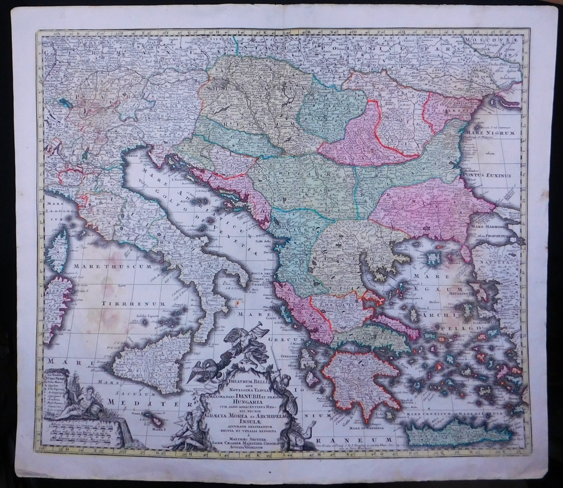
1750ref. 52596ABAugsburg, Seutter., (Ca. 1750). 48x57 cm. Kupferstichkarte mit 2 gestochenen Kartouchen mit Flächen- und Grenzkolorit.
ref. DADAX1563240327New unknown
1750ref. 52596ABAugsburg, Seutter. (Ca. 1750). 48x57 cm. Kupferstichkarte mit 2 gestochenen Kartouchen mit Flächen- und Grenzkolorit.
ref. DADAX0754645665New unknown
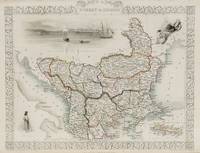
1851ref. 200055AG1851. London and New York J & F. Tallis 1851. Original steel engraving / Vintage map. Drawn and engraved by John Rapkin. Partly hand-coloured. Illustrations by H. Warren and engraved by J. Rogers. Plate Size: 32.5 cm x 26 cm. Sheet Size : 37.4 cm x 27.3 cm. Vintage 19th century map in very good condition. Published in the Illustrated Atlas And Modern History Of The World Geographical Political Commercial & Statistical Edited By R. Montgomery Martin. Beautiful and interesting map of South East Europe. Much of the Balkans was then under the control of the Ottoman Turks. The region is delineated into the historic - and future - nations and states including Croatia Herzegovina Bosnia Serbia Albania Macedonia northern Greece Bulgaria Walachia in Romania and Moldova. Russia can be seen extending down into the areas around the Black Sea. Hapsburg-Austria and the heel of the Italian peninsula is shown. Corfu Cyprus and the Greek islands can be seen lying of the archipelago. Gallipoli Sea of Marmara the Bosporus and Constantinople/Istanbul and Asia Minor/Anatolia are shown in the lower right corner. John Tallis 7 November 1817 3 June 1876 was an English cartographic publisher. His company John Tallis and Company published views maps and atlases in London from roughly 1838 to 1851. Tallis set up as a publisher with Frederick Tallis in Cripplegate in 1842; the business moved to Smithfield in 1846 and was dissolved in 1849. From 1851 to 1854 Tallis operated as John Tallis and Company. He started The illustrated news of the world and national portrait gallery of eminent personages in 1858 selling it for £1370 in 1861; it folded in 1863. Wikipedia The most important project John Tallis undertook was the 'Illustrated Atlas' from 1851. The original map we offer here was part of this exceptional Atlas and all the maps it contained are still today considered as the last reminder of an era of lavish map production. Tallis worked the project together with John Rapkin 1815-1876 and it was Rapkin's style and talent that we have to thank for when we marvel at these maps today. What makes these maps so special is the detail of engraved vignettes that surround the map and often show indigenous scenes people in their environment and even more so historical buildings or historical views of towns and cities architecture and landscape. The project of 'The Illustrated Atlas' was designed to be finished just in time for the anxiously awaited "Great Exhibition of the Works of Industry of All Nations" or The Great Exhibition sometimes referred to as the Crystal Palace Exhibition in reference to the temporary structure in which it was held was an international exhibition that took place in Hyde Park London from 1 May to 11 October 1851. It was the first in a series of World's Fairs exhibitions of culture and industry that became popular in the 19th century and it was a much-anticipated event. The Great Exhibition was organized by Henry Cole and Prince Albert husband of the reigning monarch Queen Victoria. It was attended by numerous notable figures of the time including Charles Darwin Samuel Colt members of the Orléanist Royal Family and the writers Charlotte Brontë Charles Dickens Lewis Carroll George Eliot and Alfred Tennyson. Music for the opening was under the direction of Sir George Thomas Smart and the continuous music from the exhibited organs for the Queen's procession was "under the superintendence of William Sterndale Bennett". Wikipedia unknown
ref. DADAX041527432XNew unknown
ref. DADAX041559684XNew unknown
ref. DADAX0415594529New unknown
ref. DADAX0415486459New unknown
ref. DADAX0415349400New unknown
1910ref. 0469-21o.O.,Vlg. u. J. [vermutl. um 1910]. qu.-kl.8°. Photoalbum mit 36 Abb. in Kupfertiefdr. auf Postkartenkarton mit unterlegter Bildbeschreibung, je 12,8 x 17,8 cm. Oln. mit farb. mont. Deckelbild, etw. berieben, bestoßen u. fleckig, die Bilder tadellos.
ref. DADAX0367096005New unknown
ref. DADAX0415229464New unknown
ref. DADAX0415215978New unknown
ref. DADAX0415122937New unknown
1998ref. SONG0198500580OXFORD UNIVERSITY PRESS 1998-02-19. hardcover. Used: Good. 6.50x1.25x9.75. Buy with confidence. Excellent Customer Service & Return policy. OXFORD UNIVERSITY PRESS hardcover
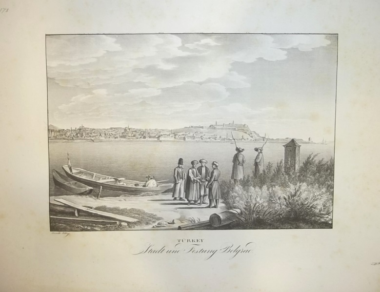
1826ref. 11177Wien, Kunike, 1826. Ca. 26 cm x 35 cm.
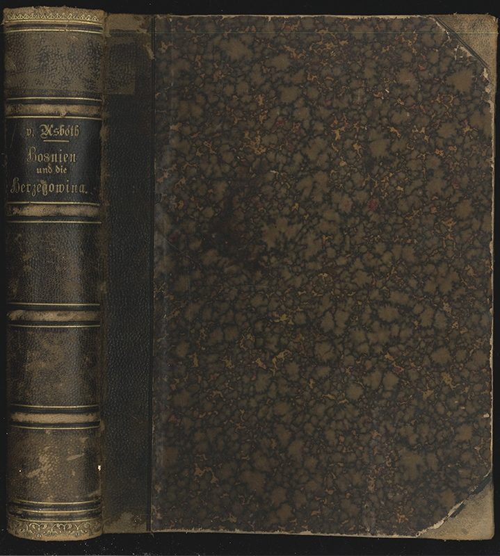
1888ref. 0171-23Wien, Hölder 1888. gr.-4°. XII, 488 S., 8 (1 gefalt.) Tabellen, 4 farblithogr. Karten. Mit 37 ganzseitigen und 175 Text-Illholzstichen nach Aufnahmen C. Mienzils, Original-Photographien der Kunsthandlung Königsberger in Serajewo u. a. HLdr. d. Zt. m. gloldgeprägt. Rückenti. Tit. gestemp. Rü. u. Kanten berieb. EA, [4 Warenabbildungen]
1941ref. 57599Versch. Orte, 1910-1941. Gr.-8° bis 4°. Meist lose Bll., Heftstreifen bzw. Umschläge d. Zt.
1883ref. 5754Paris Plon 1883 Grand in-8 de 4 ff. lim. n.ch. (le premier blanc) et 412 pp., demi chagrin, dos à nerfs orné, dos orné, tranches dorées, petit accroc en haut du mors sup., des rousseurs. (Ch. Magnier rel.).
1930Very Good Turkish Original four huge gelatin silver prints mounted on signed cardboards by Muhittin, who was the chief of the Electric Company Committee in Bursa. Cardboard size: 34x30 cm; photograph size: 23,5x17,5 cm. Fine silver prints of the decorative elements of Selimiye Mosque (two photos), Üç Serefeli Mosque, and Bayezid II Mosque. The photos of Selimiye Mosque show interior decorations in the building, the door of Üç Serefeli Mosque, and a window sash of Bayezid II Mosque. Üç Serefeli Mosque is a 15th-century Ottoman mosque, that was commissioned by Ottoman sultan Murad II and built between 1438-1447. It is located in the historical center of the city, close to the Selimiye Mosque and Old Mosque. The name refers to an unusual minaret with three balconies. The architect of the mosque is not known. The two blue and turquoise underglaze-painted tile panels in the tympana of the windows were probably produced by the same group of tilemakers who had decorated the Yesil Mosque (1419-21) in Bursa where the tiles are signed as "the work of the masters of Tabriz" ('amal-i ustadan-i Tabriz). The Complex of Sultan Bayezid II is a külliye located in Edirne, built-in 1488 by the Ottoman architect Mimar Hayruddin for Sultan Bayezid II (reigned 1481-1512). And Selimiye Mosque is an Ottoman imperial mosque, The mosque was commissioned by Sultan Selim II, and was built by the imperial architect Mimar Sinan between 1568 and 1575. The mosque's courtyard forms a dramatic approach that helps to frame the view of the main dome from outside. The central outer gate on the northwest side of the courtyard is unusually simple, as the customary muqarnas canopy is replaced by a simple round arch. Inside, the courtyard is surrounded by four porticos of arches and domes. The southeastern portico, immediately preceding the entrance to the prayer hall, is significantly taller than the other three porticos in order to match the great height of the mosque itself. This portico is composed of three wide arches with two very small arches between them, a configuration vaguely resembling a triumphal arch and very different from the earlier monumental portico designed by Sinan for the Süleymaniye Mosque. The façades above these arches are decorated with two marble circles inscribed with quotes from the Qur'an. The large lower windows around the courtyard are surmounted by decorative lunettes, except for the two windows on either side of the entrance portal, which are set below muqarnas niches instead. The lunettes of the windows on the prayer hall side are filled with Iznik tiles painted with calligraphy. The photographs in this small collection were taken by the chief of the Electric Company Committee in Bursa city, probably for an architectural project.
1899ref. 15667Berlin, Räde, 1899. 4 Bll., 267 S., 4 Bll. (Anzeigen). 1 separate mehrfach gefalt. farb. Karte. 8°. HLwd. der Zeit mit Rückentitel (etw. berieben).
ref. DADAX3030330575New unknown
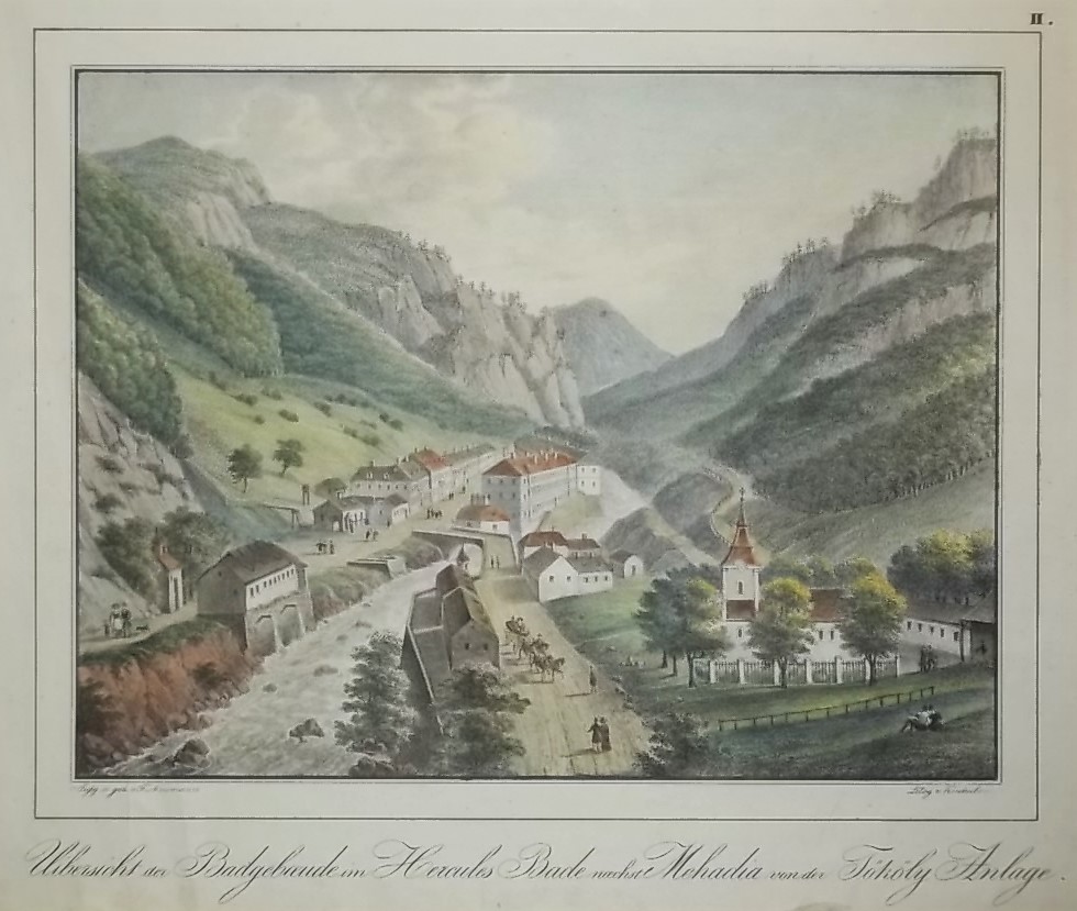
1830ref. 17923um 1830. Ca. 21 cm x 27,5 cm (Bild), 30 cm x 40 cm (ganze Blatt).
1938ref. 11267Zagreb, (Vlastita Naklada), 1938. 2 Bll. (Titel, Vorwort). 24 Tafeln. Gr.-Fol. Lose in OLwd.-Flügelmappe (Gebrssprn.).