1.705 resultados
Monumental, profusely illustrated work on the Sarakatsani, a formerly transhumant ethnic Greek shepherd population. – Contents, Illustration: Rare, comprehensive and thoroughly illustrated study by Greek historian and ethnographer Angheliki Hadjimichali (or Angelikis Chatzimichali, 1895-1965) on the history and present of the Sarakatsani, an ethnic Greek population of shepherds then still not settled but transhumant. Envisaged to appear in 3 volumes, only 2 were finally published. Besides a comprehensive account on all aspects of Sarakatsani culture and living circumstances as well as a substantial chapter with statistics, present publication puts a strong focus on illustrations, e.g. by including numerous private photographies taken or sketches drawn by the researcher depicting community members and groups, housing, household goods, tools and art objects. The colour plate shows embroideries applied to folk costumes. 2 folded maps at the end of vol. 1 give a deeper insight into seasonal migration movements of the Sarakatsani across the Southern balkans. – Condition: Wrappers at margins occasionally slightly torn, edges minimally dusty, otherwise very well preserved, mainly uncut set of this publication with a stated print run of 1000 copies, hard to find in trade however.
1938ref. 57598Versch. Orte, 1908-1938. Gr.-8° bis 4°. Meist Heftstreifen bzw. Umschläge d. Zt.
1930ref. 1256338Paris, E. Leroux, 1930. Folio (ca. 39 : 30 cm). 2 Bl., 4, 320 S. m. 82 Textfiguren (Grundrisse, schematische Zeichnungen), 3 mehrfach gefaltete Tafeln m. mehreren schematischen Zeichnungen u. 2 Bl., 68 Lichtdrucktafeln m. zahlr. Abbildungen, 10 S. (Monuments de l'Art Byzantin VI). Hlwdbd m. gedruckten Rückenschildern (Bibliotheksexemplar, Stempel a. d. Titelrückseiten).
ref. DADAX0199299056New unknown
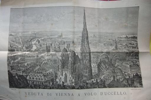
1873ref. 122615Milano. 1873. Illustriertes Reihentitelblatt, ein weiteres Zwischentitelblatt u. 598, (2) Seiten. Mit unzähligen, teils ganzseitigen u. doppelblattgrossen Illustrationen u. Ansichten im Text und auf fünf mehrfach gefalteten Tafeln. (Papier teils etwas fleckig u. mit leichten Knickspuren, Zwei Falttafeln mit größeren Einrissen u. an den Rändern mit stärkeren Knickspuren versehen). Halbleder-Einband der Zeit auf 4 Bünden mit marmorierten Deckeln. 31x23 cm
2003ref. 54497Sarajevo-Bihac, Nacionalna i univerzitetska biblioteka Bosne i Hercegovine, 2003. Qu.-4°. Mit zahlr. Abbildungen. 495 S., Illustr.-OPpbd.
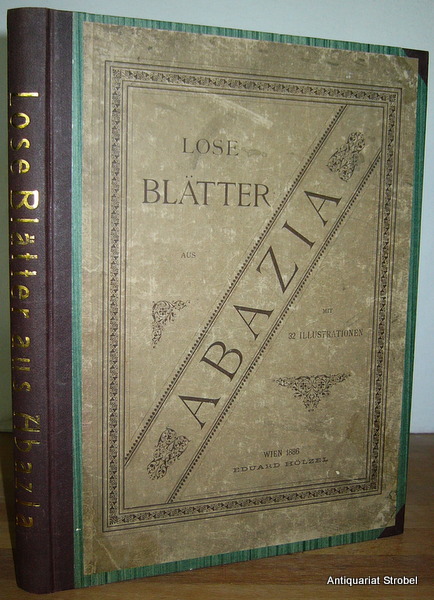
1886ref. 35403Wien, Hölzel, 1886. 3 Bl., 89 S., 1 Bl. Mit 32 Tafeln nach Zeichnungen des Verfassers. 4° (31,5 x 23,5 cm). Moderne Halbleinwand mit Rückentitel, der originale Vorderumschlag aufgezogen.
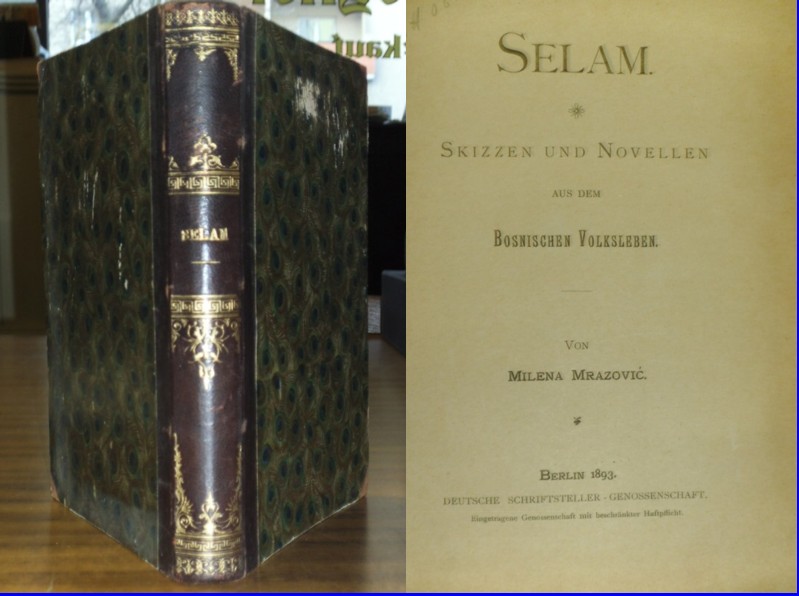
1893ref. 391950Berlin 1893, Deutsche Schriftsteller-Genossenschaft. 8°. 276 Seiten. Dunkelbrauner Halblederband der Zeit mit goldgeprägtem Rückentitel und goldgeprägten hübschen Rückenverzierungen. Einband etwas berieben, marmorierter Dreiseitenschnitt. Innen schön sauber, gutes Exemplar.
1817ref. 22007Freiburg, in der Herderschen Universitäts-Buchhandlung (Herder), 1817. LXXI, 223 S.; VIII, 302 S.; XIV, 218 S. Schrift: Fraktur Halbleder, gebundene Ausgabe, Band 2 unterschiedlicher Halbledereinband und Rückenschild, Bibliotheksexemplare, sonst Exemplare in gutem Erhaltungszustand
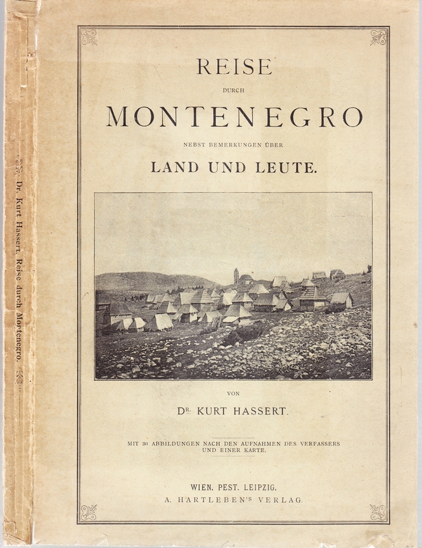
1893ref. 0384-21Wien,Pest,Leipzig,Hartleben 1893. gr.8°. VI,(2),236 S. mit 30 Abbildungen nach den Aufnahmen des Verfassers und einer Karte. Illustr. Okart., leicht fl., Rücken mit Knickspuren, ein sauber gekl. Einr., Vortitel u. Titelblatt geringfügig einger. (mit kl. transparenten Klebestreifen), sonst gut erhalten. [2 Warenabbildungen]
ref. DADAX0415229626New unknown
ref. DADAX0367338157New unknown
ref. DADAX0415788366New unknown
ref. DADAX0415623278New unknown
ref. DADAX0415855187New unknown
ref. DADAX0415525039New unknown
ref. DADAX0415187265New unknown
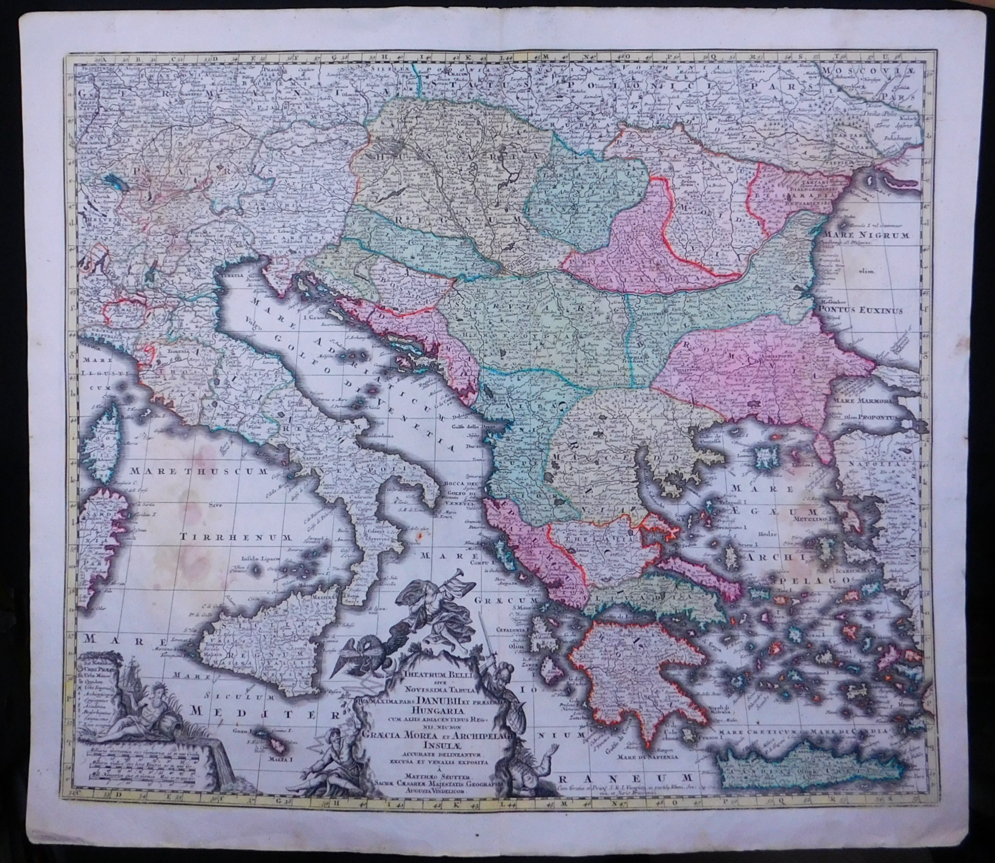
1750ref. 52596ABAugsburg, Seutter., (Ca. 1750). 48x57 cm. Kupferstichkarte mit 2 gestochenen Kartouchen mit Flächen- und Grenzkolorit.
ref. DADAX1409455025New unknown
1750ref. 52596ABAugsburg, Seutter. (Ca. 1750). 48x57 cm. Kupferstichkarte mit 2 gestochenen Kartouchen mit Flächen- und Grenzkolorit.
ref. DADAX1563240327New unknown
ref. DADAX0754645665New unknown
1851ref. 200055AG1851. London and New York J & F. Tallis 1851. Original steel engraving / Vintage map. Drawn and engraved by John Rapkin. Partly hand-coloured. Illustrations by H. Warren and engraved by J. Rogers. Plate Size: 32.5 cm x 26 cm. Sheet Size : 37.4 cm x 27.3 cm. Vintage 19th century map in very good condition. Published in the Illustrated Atlas And Modern History Of The World Geographical Political Commercial & Statistical Edited By R. Montgomery Martin. Beautiful and interesting map of South East Europe. Much of the Balkans was then under the control of the Ottoman Turks. The region is delineated into the historic - and future - nations and states including Croatia Herzegovina Bosnia Serbia Albania Macedonia northern Greece Bulgaria Walachia in Romania and Moldova. Russia can be seen extending down into the areas around the Black Sea. Hapsburg-Austria and the heel of the Italian peninsula is shown. Corfu Cyprus and the Greek islands can be seen lying of the archipelago. Gallipoli Sea of Marmara the Bosporus and Constantinople/Istanbul and Asia Minor/Anatolia are shown in the lower right corner. John Tallis 7 November 1817 3 June 1876 was an English cartographic publisher. His company John Tallis and Company published views maps and atlases in London from roughly 1838 to 1851. Tallis set up as a publisher with Frederick Tallis in Cripplegate in 1842; the business moved to Smithfield in 1846 and was dissolved in 1849. From 1851 to 1854 Tallis operated as John Tallis and Company. He started The illustrated news of the world and national portrait gallery of eminent personages in 1858 selling it for £1370 in 1861; it folded in 1863. Wikipedia The most important project John Tallis undertook was the 'Illustrated Atlas' from 1851. The original map we offer here was part of this exceptional Atlas and all the maps it contained are still today considered as the last reminder of an era of lavish map production. Tallis worked the project together with John Rapkin 1815-1876 and it was Rapkin's style and talent that we have to thank for when we marvel at these maps today. What makes these maps so special is the detail of engraved vignettes that surround the map and often show indigenous scenes people in their environment and even more so historical buildings or historical views of towns and cities architecture and landscape. The project of 'The Illustrated Atlas' was designed to be finished just in time for the anxiously awaited "Great Exhibition of the Works of Industry of All Nations" or The Great Exhibition sometimes referred to as the Crystal Palace Exhibition in reference to the temporary structure in which it was held was an international exhibition that took place in Hyde Park London from 1 May to 11 October 1851. It was the first in a series of World's Fairs exhibitions of culture and industry that became popular in the 19th century and it was a much-anticipated event. The Great Exhibition was organized by Henry Cole and Prince Albert husband of the reigning monarch Queen Victoria. It was attended by numerous notable figures of the time including Charles Darwin Samuel Colt members of the Orléanist Royal Family and the writers Charlotte Brontë Charles Dickens Lewis Carroll George Eliot and Alfred Tennyson. Music for the opening was under the direction of Sir George Thomas Smart and the continuous music from the exhibited organs for the Queen's procession was "under the superintendence of William Sterndale Bennett". Wikipedia unknown
ref. DADAX041527432XNew unknown
ref. DADAX041559684XNew unknown