CAMOCIO (Giovanni Francesco).Livre Rare Book
17.969 Ergebnisse
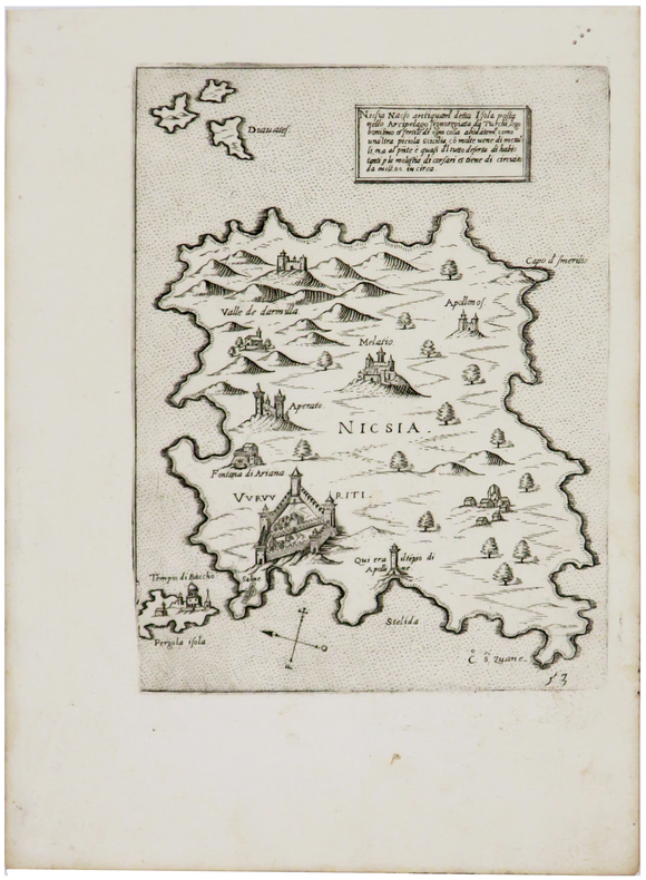
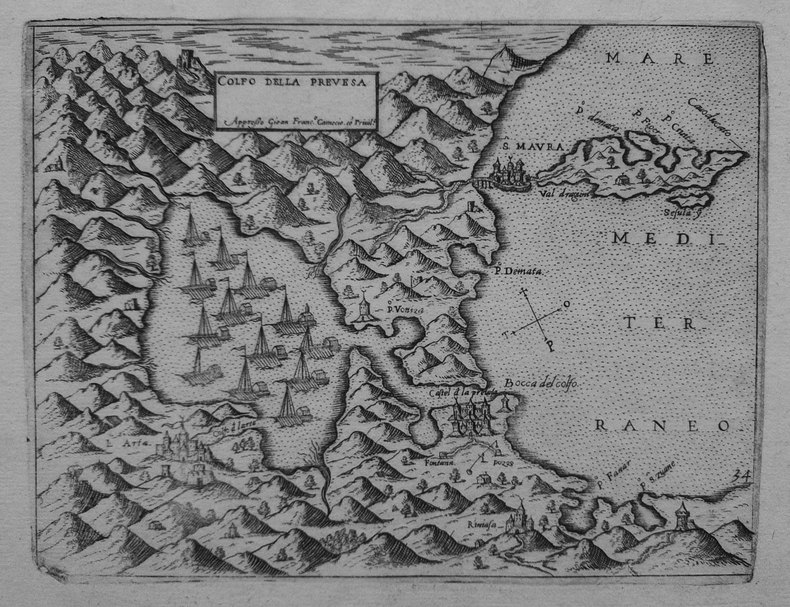
1572Best.-Nr. LBW-1446[Venise, 1572]. 168 x 222 mm.
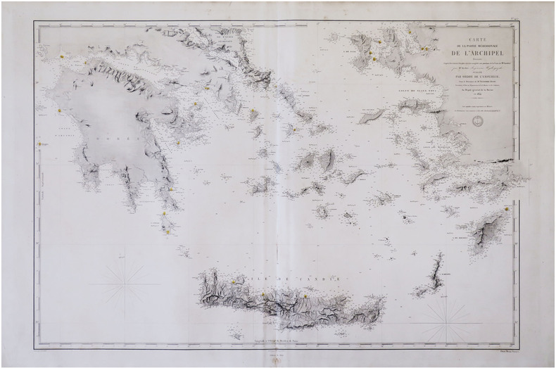
1854Best.-Nr. LBW-8307[Paris], Dépôt-Général de la Marine, 1854-1864. 591 x 880 mm.
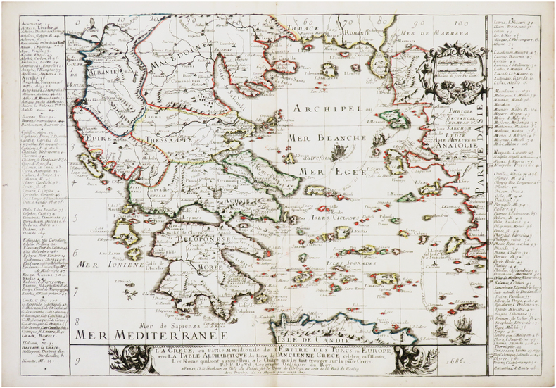
1686Best.-Nr. LBW-7597Paris, chez l'autheur, 1686. 373 x 539 mm.
1915Very Good Turkish, Ottoman (1500-1928) Original b/w map on cloth. Very good. Folded. Oblong atlas folio. (54 x 71 cm). In Ottoman script. Scale: 1/2.000.000. [MILITARY MAP of OTTOMAN CAUCASUS] Kafkasya Darü'l-Harekâti. (Fasil: 3 - Numero: 3). Tiflis ve civari, Bahr-i Siyah, Don Kazaklari, Kalmuk, Kirgiz, Bahr-i Hazer-i Kuzgun Denizi (Derya-i Hazar), Kuban Kazaklari, Çerkezistan, Nogay, Termerek Kazalari etc. Military map of Ottoman Caucasus. Shows Tbilisi and around, Khazar Sea, Kuban Cosacks, Don Cosacks, Kalmuks, Kyrgyzstan, Circassia, Nogai, Termerek Cosacks, Maveraünnehir, etc.
1913Very Good Turkish, Ottoman (1500-1928) Original wrappers. Foolscap 8vo. (18 x 12 cm). In Ottoman script (Old Turkish with Arabic letters). 142, [4] p. Some pages are untrimmed and unopened. Foxing on extremities. Overall a good copy. First and only edition of this uncommon first-hand account in verse of the Siege of Scutari, also referred to as the Siege of Shkodër (Shkodra), took place from 28 October 1912 to 23 April 1913 when the army of the Kingdom of Montenegro defeated the forces of the Ottoman Empire and invaded Shkodër, written by Mehmed Fahri Pasha, who served in Serbia as the chief physician of Shkodra by participating in the Balkan Wars (1912-1913). On 8 October 1912, Turkish General Hasan Riza Pasha announced that Montenegro had declared war on the Ottoman Empire in order to erase 600 years of oppression by the "Turkish foot", as the enemy claimed, and that its troops were crossing the border between Montenegro and Albania. Two hours after the news, the Montenegrin troops, as expected, approached Scutari. As much as 70% of the Turkish army in the interior of the Balkans was composed of Muslim Albanians conscripted during the freedom struggle from the Ottoman Empire. Özege 12224.
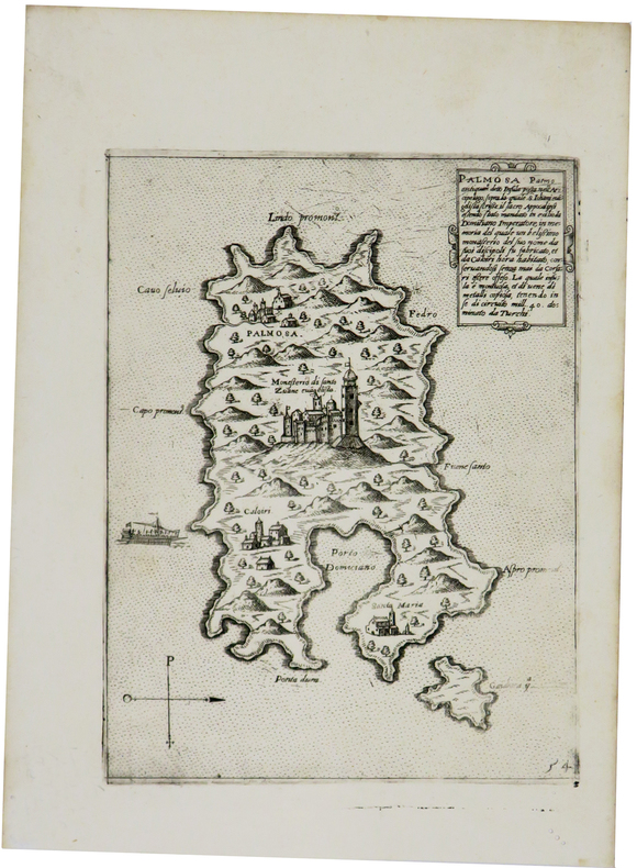
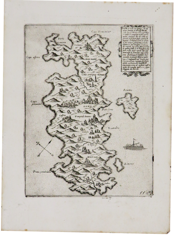
1572Best.-Nr. LBW-1388[Venise, 1572]. 201 x 150 mm.
1829VOLUME ONE ONLY. IN GREEK, with running titles in Latin. 13.5x9.5cm. 311 pages. Gilt hardcover. Cover slightly age stained. Spine yellowing. Cover corners and spine edges worn. Pages yellowing and age-stained. Else in good condition.
1920Very Good Turkish, Ottoman (1500-1928) Original color map on cloth. Oblong atlas folio. (44 x 58 cm). Scale: 1/200.000. Toponyms in Ottoman script /Turkish with Arabic letters). Shows southwest of the Gallipoli Peninsula [and the Hellespont], Edremid Gulf, Tenedos, and North Aegean shores of Anatolia]. Folded. This is one of the series of the Bonn projection maps which are the first map series in modern techniques in Turkey and the Ottoman Empire. In order to produce these maps covering Turkish territory, Reconnaissance Branch was incorporated into The Mapping Commission. The maps were produced in the datum based on the latitude and longitude of the Ayasofya Mosque in equal area Bonn Projection. The field works for the 123 sheets covering the country were conducted by 76 staff. The production was completed in 18 years starting from east-west. Fieldworks continued without stopping except in the years 1914 and 1920. This map series called also reconnaissance maps contributed a lot to producing 1:25.000 scale maps. Hegira: 1336 = Gregorian: 1920. Not description on map-maker. Extremely rare.
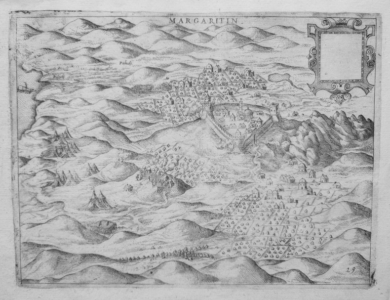
1572Best.-Nr. LBW-1434[Venise, 1572]. 205 x 156 mm.
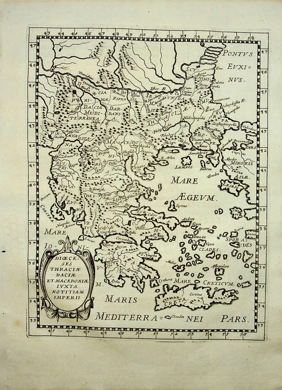
Best.-Nr. 018786[Philippe Briet, Parallela geographiae veteris et novae] Diocèses Thraciae daciae et macedoniae juxta notitiam imperii - Grèce, Macédoine Gravure originale, 1649, environ 240*170mm. Gravure tirée de l'ouvrage du savant jésuite Philippe Briet (1601-1668) publié en 1648-1649. Texte au dos. [436]
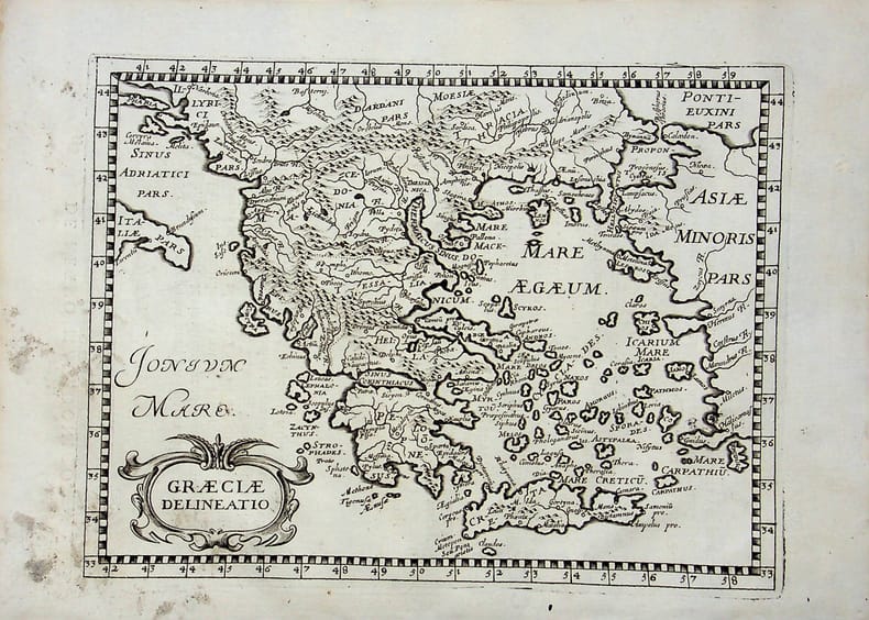
Best.-Nr. 018789[Philippe Briet, Parallela geographiae veteris et novae] Graeciae delineatio - Grèce. Gravure originale, 1649, environ 240*170mm. Gravure tirée de l'ouvrage du savant jésuite Philippe Briet (1601-1668) publié en 1648-1649. Texte au dos. [436]
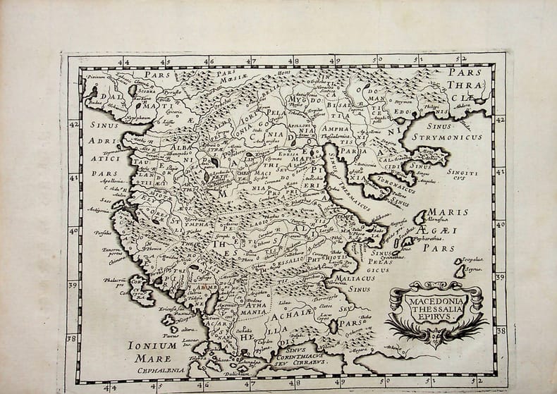
Best.-Nr. 018790[Philippe Briet, Parallela geographiae veteris et novae] Macedonia, Thessalia, Epirus - Macédoine, Thessalie, Epire. Grèce. Gravure originale, 1649, environ 240*170mm. Gravure tirée de l'ouvrage du savant jésuite Philippe Briet (1601-1668) publié en 1648-1649. Texte au dos. [436]
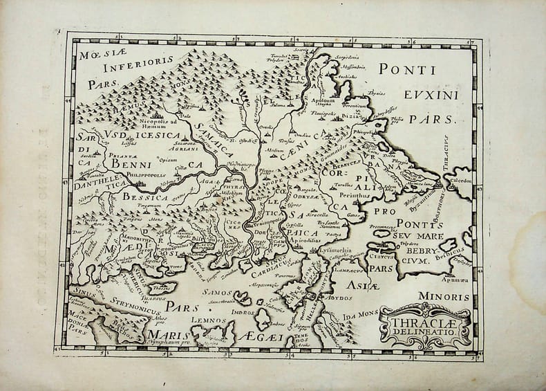
Best.-Nr. 018791[Philippe Briet, Parallela geographiae veteris et novae] Thraciae delineatio - Grèce. Gravure originale, 1649, environ 240*170mm. Gravure tirée de l'ouvrage du savant jésuite Philippe Briet (1601-1668) publié en 1648-1649. Texte au dos. [436]
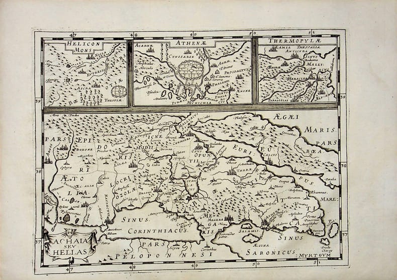
Best.-Nr. 018792[Philippe Briet, Parallela geographiae veteris et novae] Achaia sev Helias - Grèce. Gravure originale, 1649, environ 240*170mm. Gravure tirée de l'ouvrage du savant jésuite Philippe Briet (1601-1668) publié en 1648-1649. Texte au dos. [436]
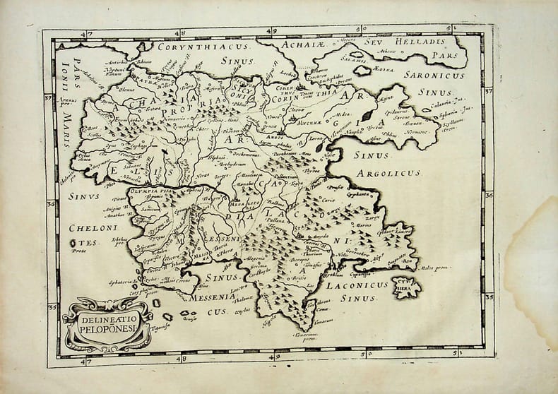
Best.-Nr. 018793[Philippe Briet, Parallela geographiae veteris et novae] Delineatio Peloponesi - Grèce. Gravure originale, 1649, environ 240*170mm. Gravure tirée de l'ouvrage du savant jésuite Philippe Briet (1601-1668) publié en 1648-1649. Texte au dos. [436]
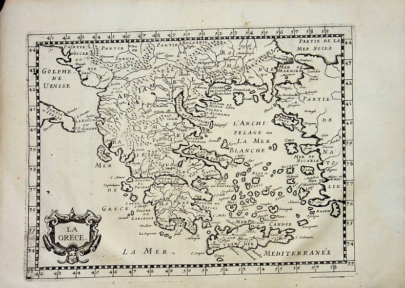
Best.-Nr. 018795[Philippe Briet, Parallela geographiae veteris et novae] La Grèce. Gravure originale, 1649, environ 240*170mm. Gravure tirée de l'ouvrage du savant jésuite Philippe Briet (1601-1668) publié en 1648-1649. Texte au dos. [436]
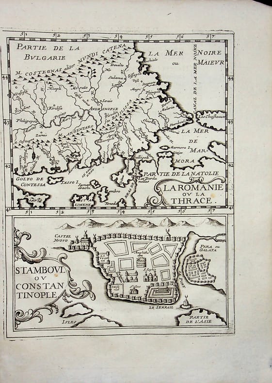
Best.-Nr. 018796[Philippe Briet, Parallela geographiae veteris et novae] La Romanie ou la Thrace - Stamboul ou Constantinople - Grèce et Turquie. Gravure originale, 1649, environ 240*170mm. Gravure tirée de l'ouvrage du savant jésuite Philippe Briet (1601-1668) publié en 1648-1649. Texte au dos. [436]
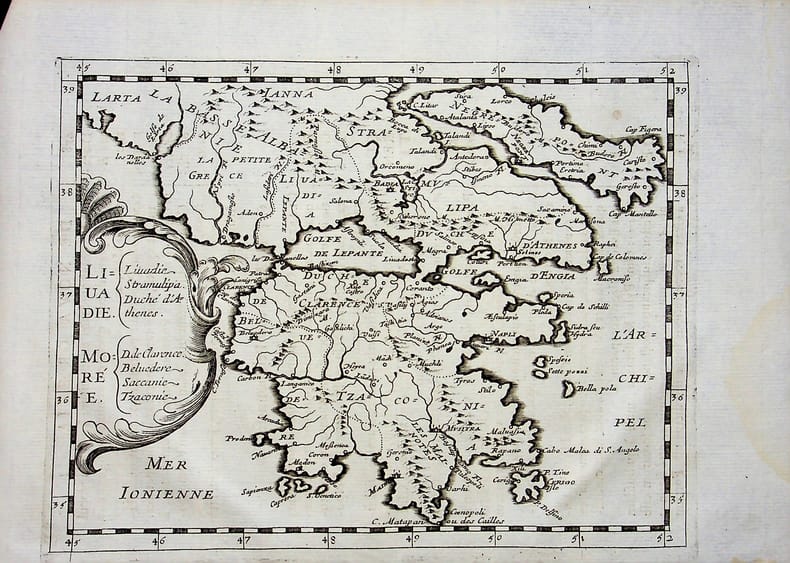
Best.-Nr. 018798[Philippe Briet, Parallela geographiae veteris et novae] Liuadie Morée - Grèce, Golfe de Lépante. Gravure originale, 1649, environ 240*170mm. Gravure tirée de l'ouvrage du savant jésuite Philippe Briet (1601-1668) publié en 1648-1649. Texte au dos. [436]
23.5x12.5 cm. A folding map. Softcover. Pages slightly yellowing. Else in good condition.
1923Very Good English Original b/w portolan chart. Folded. A little foxing and some pencil markings and notes in Ottoman script in its period. Oblong double elephant folio. (70 x 102 cm). In English. Bosphorus to Kerempeh from the Russian survey of 1834 with additions and corrections by Commander W. J. L. Wharton., R. N. 1872-80. It's written 'London published according to Act of Parliament at the Hydrographic Office of the Admiralty Jare. 16th 1854. Also shows Killa Bay (Shile Bay) from a survey by Lieut. Comm. W. R. Pristen and the midshipmen of H. M. S. Royal Sovereign, 1920. Topography partly from a Turkish map. Up side of map, engraved a view from sea of entrance of the Bosphorus, Rumili (sic. Rumeli) Lighthouse and environment with several hills. And also shows Amastra (Ancient Amastris) from Russian surveys, 1834-41; Kosku Bay from a surbey by Capt. Spratt R. N. 1854; and Sungul Bay (Zonguldak) from the Heraclee Companys plans to 1915. A rare navigation chart.
1572Best.-Nr. LBW-1452[Venise, 1572]. 157 x 205 mm.
1867Very Good Turkish, Ottoman (1500-1928) Original b/w photograph by Pascal Sebah. (30x20 cm). In Ottoman script. Slightly chipped on corners and margins, a stain on the descriptive text area. Otherwise a good photo. Original print photograph from 'Les costumes populaires de la Turquie en 1873, ouvrage publie sous le patronage de la Commission Imp. de l'Exposition Universelle de 1873 a Vienne'. Photograph depicts three Ottoman civilians of Rhodes Island in their local costumes; one is an outdoor dress of Muslim women living in Rhodes, the second is a standard dress for Muslim men, and the last one is a home dress of Muslim women. Pascal Sébah (1823-1886) was a photographer in Constantinople (now Istanbul) and Cairo, who produced a prolific number of images of Egypt, Turkey, and Greece to serve the tourist trade, and the founder of Sebah & Joaillier Photograph Studio. He established a valuable working relationship with Turkish painter Osman Hamdi Bey, taking photographs as part of the artist's preparation, and in which he experimented with light and shade. In turn, Hamdi Bey selected Sébah to illustrate his text on the popular costumes worn by Turkish and other ethnic groups, entitled Les Costumes Populaires de la Turquie en 1873: ouvrage publié sous le patronage de la Commission impériale ottomane pour l'Exposition universelle de Vienne and published in 1873.
Best.-Nr. 13977087Paris: Musée de l'Homme, Museum National d'Histoire Naturelle, 1978 in-4, 104 pages, illustrations. Broché, cachet, très bon état. Sommaire: B. DUPAIGNE. Le grand art décoratif des Turkmènes. - N. REVEL-MACDONALD. La danse des hudoq (Kalimantan Timur). - Y. DELAPORTE. Les costumes Lapons. - G. COLLOMB. Métallurgie du cuivre et circulation des biens dans le Gabon précolonial. - Y. de SIKE. Skyros. Aperçu d'une île grecque. - D. CHAMPAULT. L'économie du lisier. Une technique féminine du Nord Yemen. - C. LAVONDES. Les collections ethnographiques de l'Hôpital militaire de Brest. - J.-P. LEBEUF et J. FRANCAIX. Analyse d'objets en métal en provenance du Cameroun et du Tchad.
1949Very Good English Paperback. Pbo. Cr. 8vo. (20 x 14 cm). In Greek. First Edition. 128, [4] p., 1 topographical folding map, 10 b/w (in text), and 32 b/w and color plates (out of text). [Rhodes. History, monuments, art].
1572Best.-Nr. LBW-1435[Venise, 1572]. 205 x 154 mm.