PELET Général (dir.):Livre Rare Book
5 861 résultats
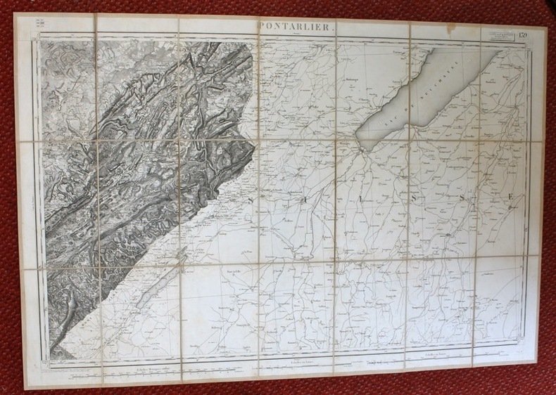
1852réf. 13056Paris, Lanée, succ. de Longuet, 1852. Carte entoilée au format ouvert de 59 x 89 cm., pièce de titre contrecollée au premier plat de la carte pliée, étui marbré avec pièce de titre sur une tranche.
1869réf. 13055Paris, Librairie militaire de J. Dumaine, 1869. Carte entoilée au format ouvert de 60 x 87 cm., pièce de titre contrecollée au premier plat de la carte pliée, étuit marbré avec pièce de titre sur une tranche.
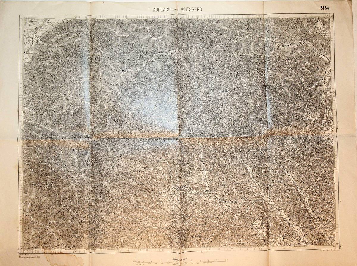
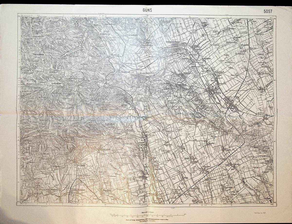
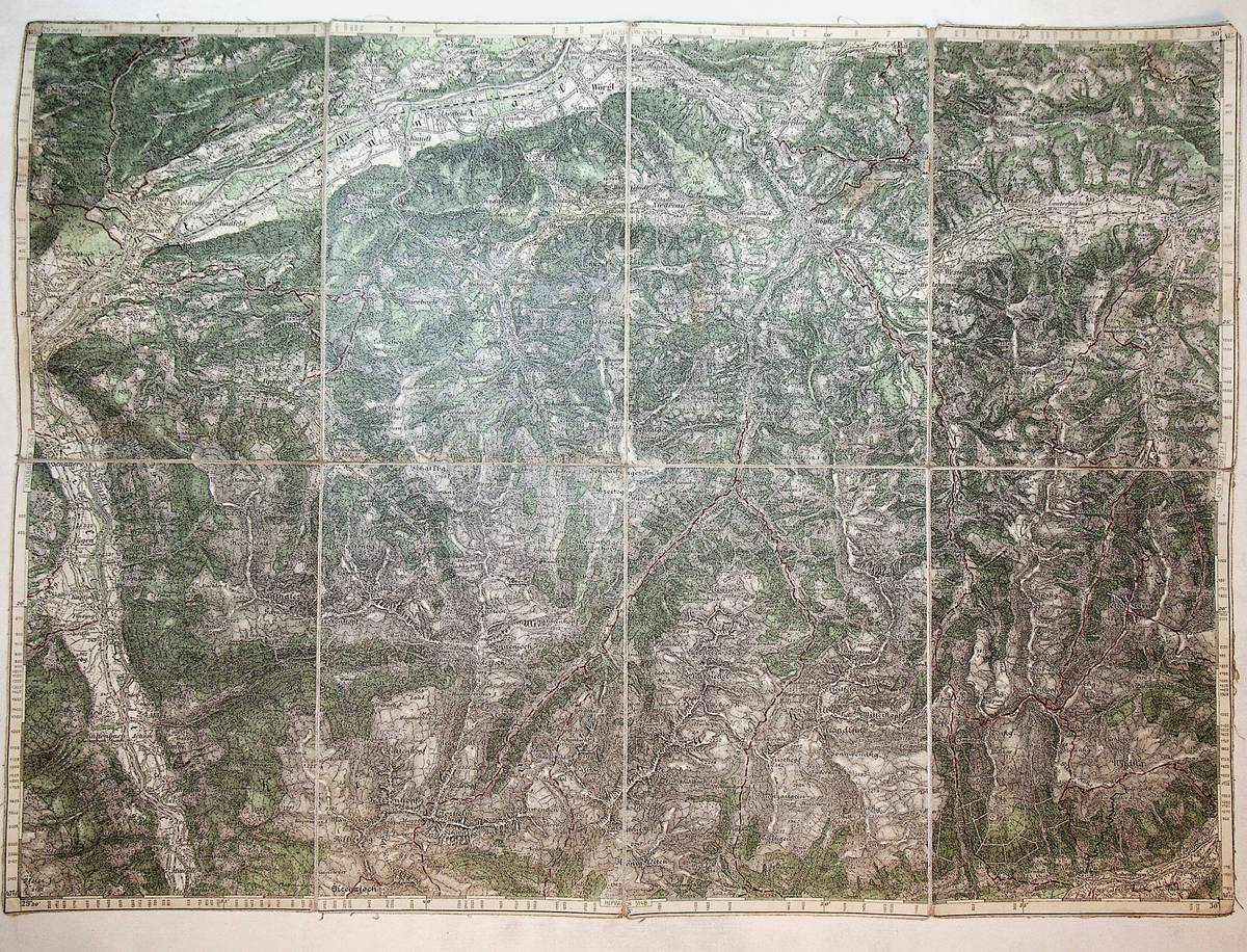
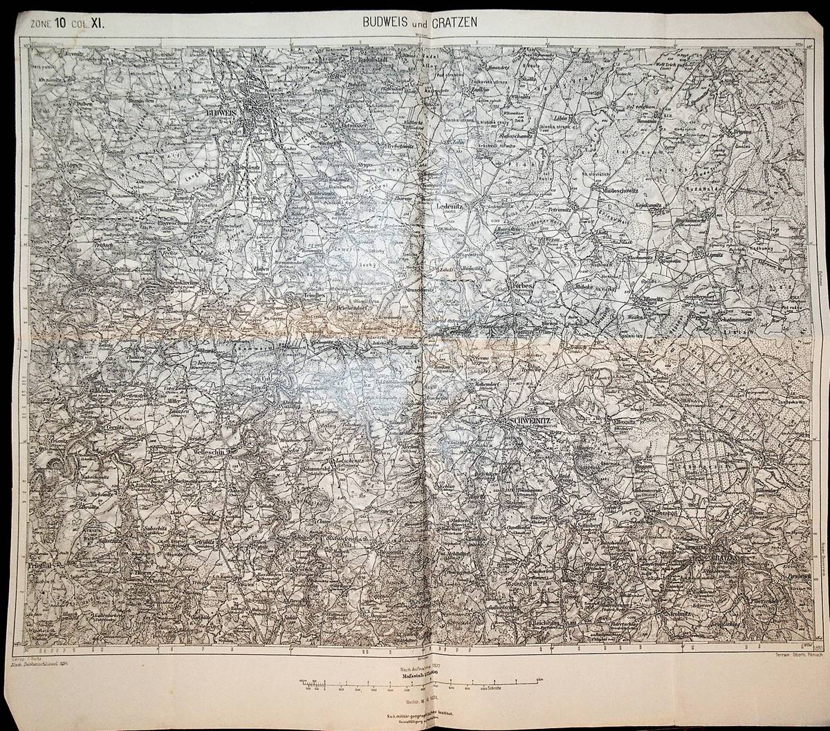
1923réf. K-1360Wien, Kartographisches fr?her Milit?rgeographisches Institut, um 1923. Formatangabe ca 50 x 37 cm, gefaltet zu 8 Segmenten, Ausgabe: einf?rbig ; Zustand: gut, kleiner Wasserfleck am breiten Rand Kartenbild kaum fleckig
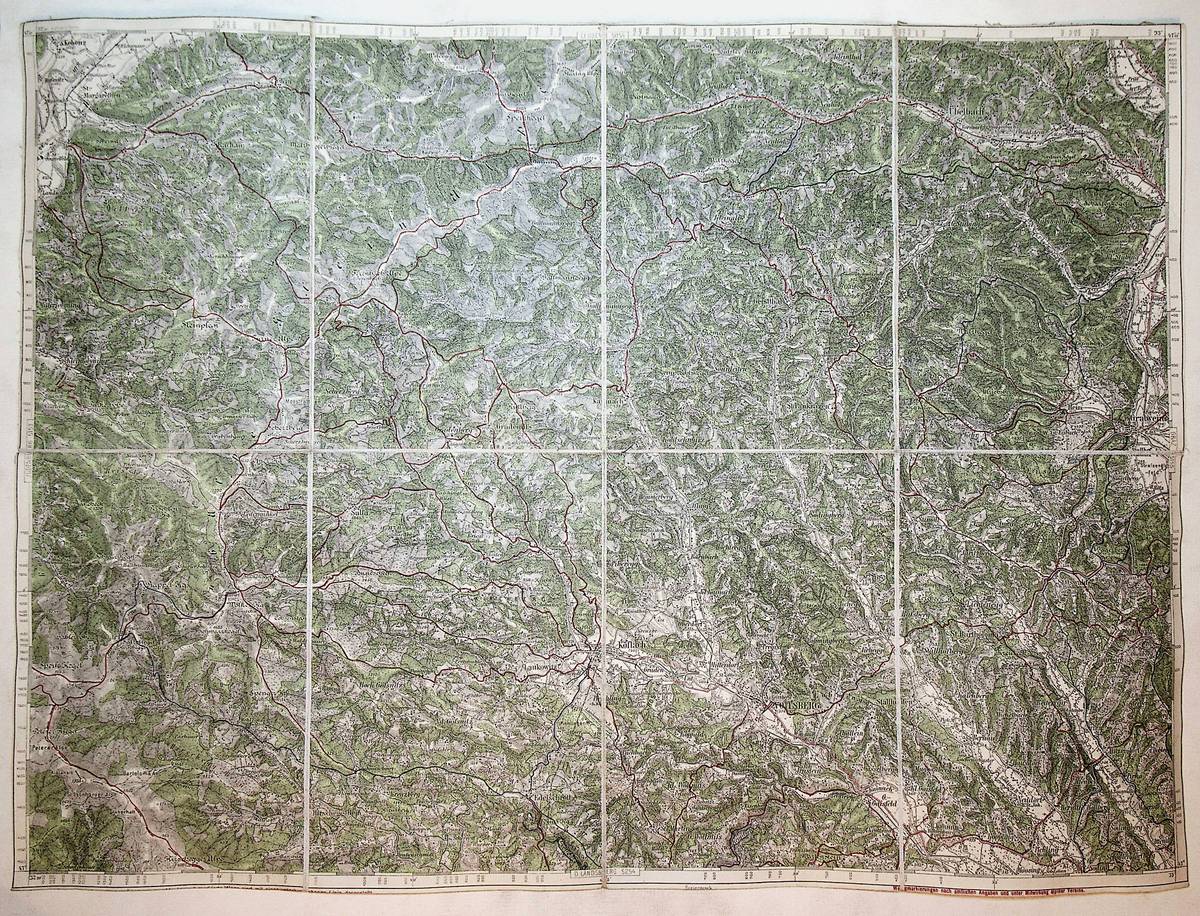
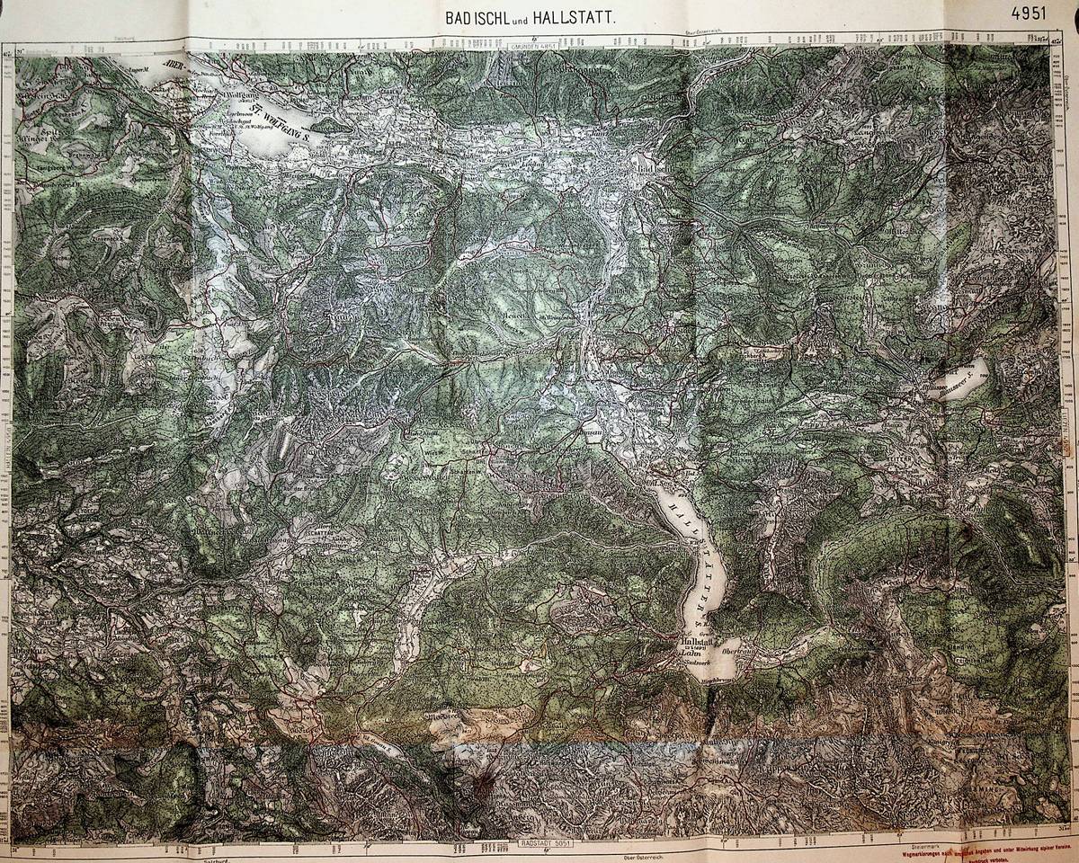
1925réf. K-253Wien, Kartographisches fr?her Milit?rgeographisches Institut, um 1925. Formatangabe ca 50 x 37 cm, gefaltet zu 8 Segmenten auf Leinen aufgezogen mit aufkaschierter Kartenlegende und dem Ma?stab auf 2 Segmentr?ckseiten , Ausgabe:mehrfrabig ; Zustand: mit einigen Farbstifteinzeichnungen gut
1898réf. K-927Wien, Milit?rgeographisches Institut, 1898. Formatangabe ca 50 x 37 cm, gefaltet zu 8 Segmenten, Ausgabe: einf?rbig ; Zustand: gut
1898réf. K-926Wien, Milit?rgeographisches Institut, 1898. Formatangabe ca 50 x 37 cm, gefaltet zu 8 Segmenten, Ausgabe: einf?rbig ; Zustand: gut
1973réf. 11002Toronto: NC Press. Fine in Fine dust jacket. 1973. First Edition; First Printing. Hardcover. 66 color plates of very old textiles. Includes an English listing of the plates as well a the accompanying chinese text brochure. In the original plastic cover/DJ and slipcase. ; 10 1/2x14" . NC Press hardcover
1973réf. 33557Beijing: Wen wu chu ban she 1973. Di 1 ban. First edition. Minor bumping to corners else a fine copy in a plastic dust jacket in original cardboard slipcase a bit worn. vi 45 leaves of plates 8 pp. Illus. with 65 color plates. Folio. "The Silk Road: Textiles from the Han and Tang Dynasties." Text in Chinese on separate 8 pp. booklet. Wen wu chu ban she unknown
1973réf. 33557Beijing: Wen wu chu ban she 1973. Di 1 ban. First edition. Minor bumping to corners else a fine copy in a plastic dust jacket in original cardboard slipcase a bit worn. vi 45 leaves of plates 8 pp. Illus. with 65 color plates. Folio. "The Silk Road: Textiles from the Han and Tang Dynasties." Text in Chinese on separate 8 pp. booklet. Wen wu chu ban she unknown books
réf. 3098Lyon, Rey, 1913, 1 demi-chagrin, dos à nerfs, mors frottés. in-8 de X-(2)-348 pp., portrait en frontispice, exemplaire numéroté, un des 550 sur papier velin, envoi autographe, signé de l'auteur, ex-libris, illustrations h.t. ;
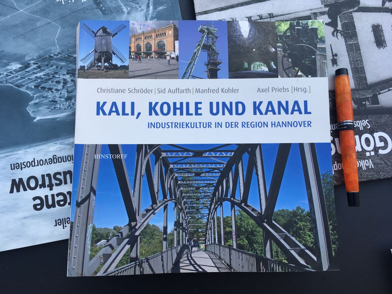
2010réf. HAN338Rostock, Hinstorff, 2010. 319 Seiten, zahlr. Abb., graph. Darst., Kt., H 23 x 23 cm, OKart. - Guter Zustand, aber schief gelagert. broschiert/ Taschenbuch/ paperback
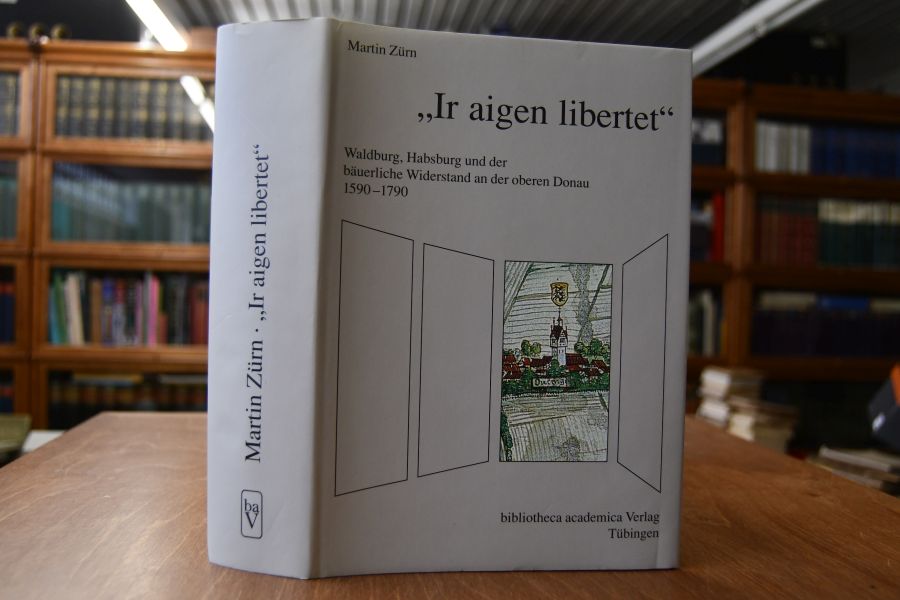
1998réf. 29672Tübingen, Bibliotheca-Academica, 1998. 814 S. mit Ill. 25 x 18 cm, Leinen mit OSchU [3 Warenabbildungen]
réf. DADAX0333463684New unknown
réf. DADAX0822962500New unknown
1928réf. K-375Wien, Kartographisches fr?her Milit?rgeographisches Institut, 1928. Formatangabe ca 50 x 37 cm, gefaltet zu 15 Segmenten , Ausgabe:mehrfrabig ; Zustand: gut leicht fleckig
1936réf. A141-1183Wien, Milit?rgeographisches Institut, 1936. Formatangabe ca 50 x 37 cm, gefaltet zu 8 Segmenten, Ausgabe: einf?rbig; Zustand: gut
1925réf. K-208Wien, Kartographisches fr?her Milit?rgeographisches Institut, um 1925. folgt der Ausgabe 1914/15, Formatangabe ca 50 x 37 cm, gefaltet zu 8 Segmenten auf Leinen aufgeszogen mit aufkaschierter Kartenlegende und dem Ma?stab auf 2 Segmentr?ckseiten , Ausgabe:mehrfrabig ; Zustand: gut,
réf. SONG0300141254Used: Good unknown
1904réf. A131-634Wien, Milit?rgeographisches Institut, 1904. Formatangabe ca 50 x 37 cm, gefaltet zu 4 Hauptsegmenten, Ausgabe: einf?rbig ; Zustand: gut
réf. DADAX0472066285New unknown
réf. 45136, Brepols - Harvey Miller, 2008 Hardcover. 240 p., 85 b/w ill. 16 colour ill., 220 x 280 mm, Languages: French, Including an index. Fine copy. ISBN 9782503529790.
1955réf. 173072Washington D.C.: Army Map Service U.S. Army. 1955. Large colour map. 1:250000 scale. Transverse mercator projection. 23°00'N 91°30'E-22°00'N 93°00'E. Series U502 Sheet NF 46-6 Edition 1-AMS. Map measures 57.3 x 75.8cm. Slight wear creasing even light browning small closed tears on edges upper-right corner little foxed. Shows signs of use but map is clean and complete. Corps of Engineers Army Map Service map of Chittagong and surrounds compiled in 1955. Based on the British Indian one-inch and half-inch map series from 1938-43 and 1936-43 respectively. . Army Map Service, U.S. Army. unknown
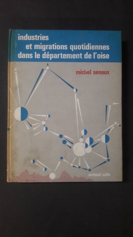
1967réf. 117820Librairie Armand Colin, coll. « Etudes et mémoires », n° 64 1967 In-8 relié 23 cm sur 17. 321 pages. Couverture légèrement insolée et brunie. Intérieur frais. Bon état d’occasion.
réf. DADAX0367484374New unknown
2006réf. Q-0716707802W. H. Freeman 2006-02-28. Hardcover. New. In shrink wrap. Looks like an interesting title! W. H. Freeman hardcover