Antiquariat.de
5.515 Ergebnisse
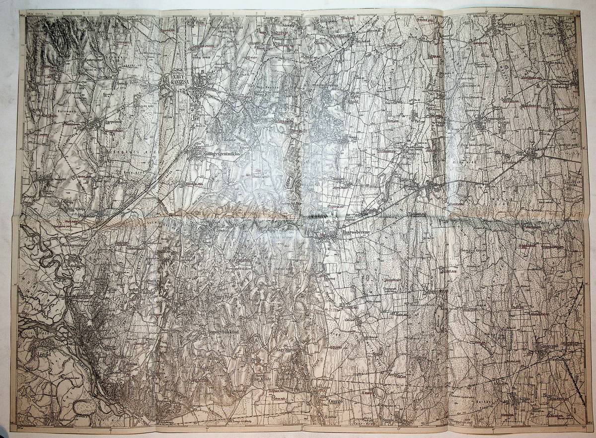
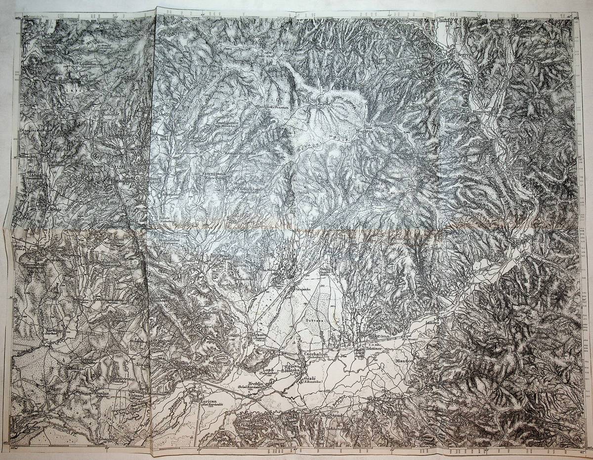
1915Best.-Nr. K-084Wien, Milit?rgeographisches Institut, [1915]. Formatangabe ca 50 x 37 cm, gefaltet zu 8 Segmenten, Ausgabe: einf?rbig; Zustand: gut, etwas ungenau gefaltet
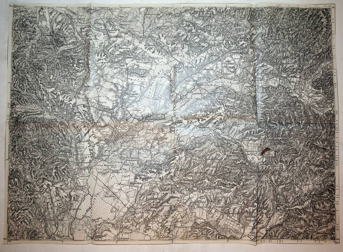
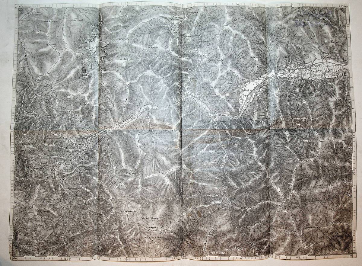
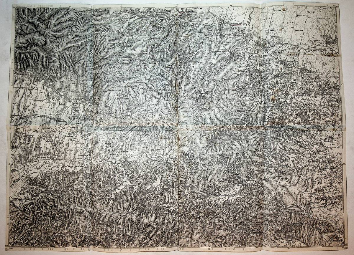
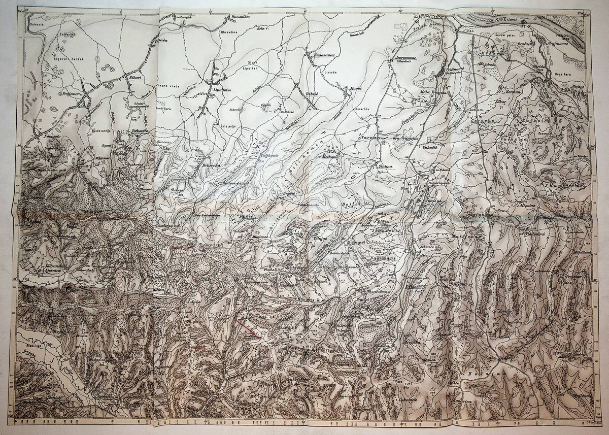
1883Best.-Nr. K-126Wien, Milit?rgeographisches Institut, 1883. Formatangabe ca 50 x 37 cm, in 8 Segmenten gefaltet, Ausgabe: einf?rbig; Zustand: mit geringf?gem Fleck im Kartenbild
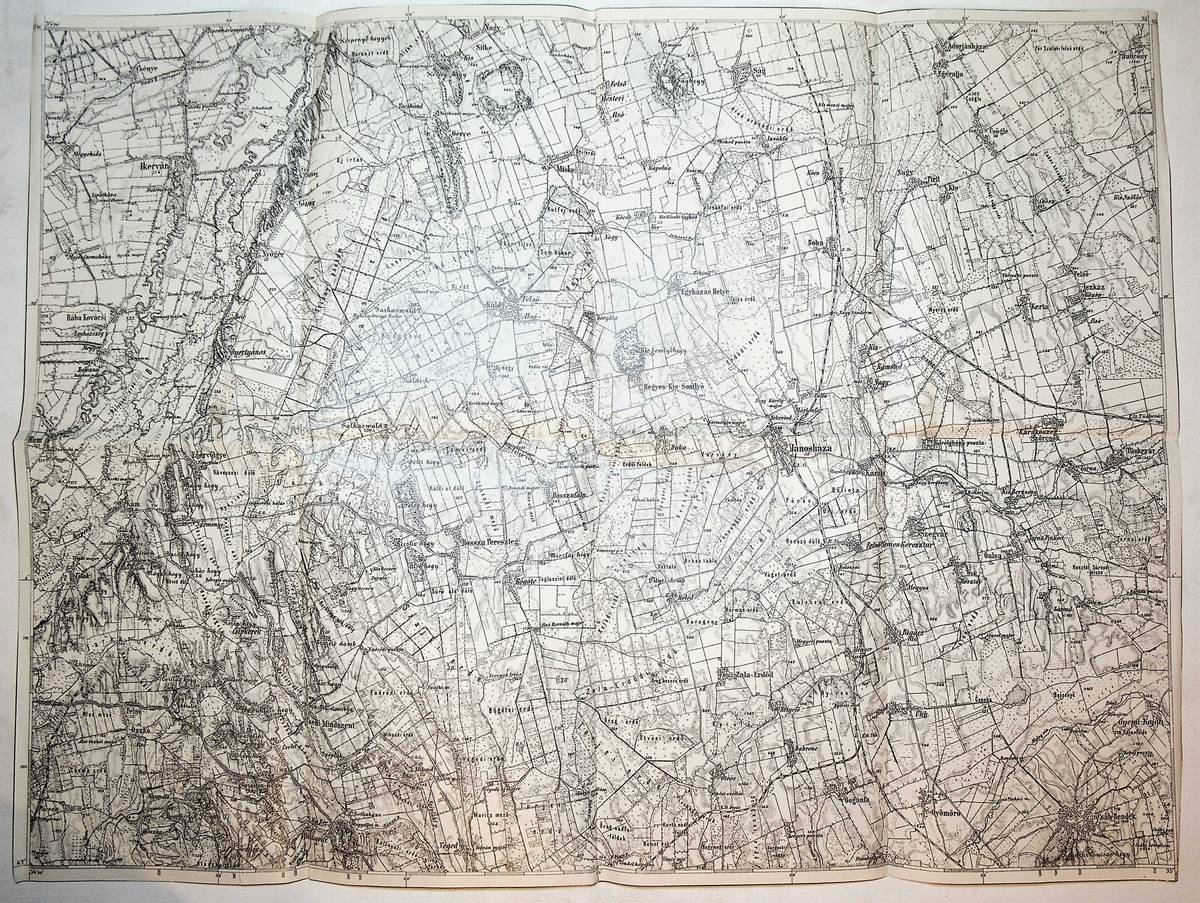
1904Best.-Nr. K-108Wien, Milit?rgeographisches Institut, [1904]. Formatangabe ca 50 x 37 cm, gefaltet zu 8 Segmenten, Ausgabe: einf?rbig; Zustand: gut, an einer stelle leicht fleckig
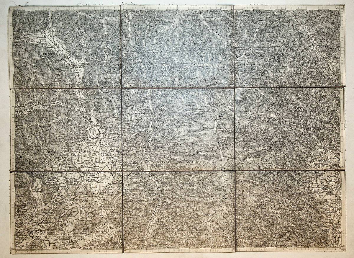
1881Best.-Nr. K-412Wien, Milit?rgeographisches Institut, 1881. Formatangabe ca 50 x 37 cm, gefaltet zu 9 Segmenten, Ausgabe: einf?rbig ; Zustand: gut mit sauberen Einrissen an den Falzkanten
1883Best.-Nr. K-100Wien, Milit?rgeographisches Institut, 1883. Formatangabe ca 50 x 37 cm, gefaltet zu 8 Segmenten, Ausgabe: einf?rbig; Zustand: mit kl. Einriss sonst guter Zustand
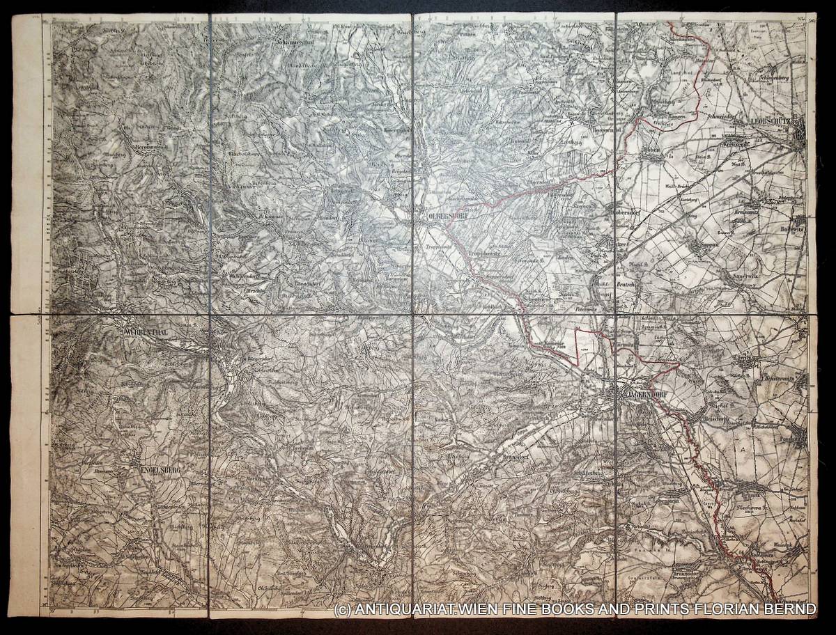
1900Best.-Nr. K-2260Wien, Milit?rgeographisches Institut, ca. 1900. Formatangabe ca 50 x 37 cm, zu 8 Segmenten auf Leinen, Ausgabe: einf?rbig ; mit Einzeichung der Grenze (Rotstift) Zustand: gut
1914Best.-Nr. K-119Wien, Milit?rgeographisches Institut, [1914]. Formatangabe ca 50 x 37 cm, in 8 Segmenten gefaltet, Ausgabe: einf?rbig; Zustand: Buntsift Unterstreichungen der Ortsnamen
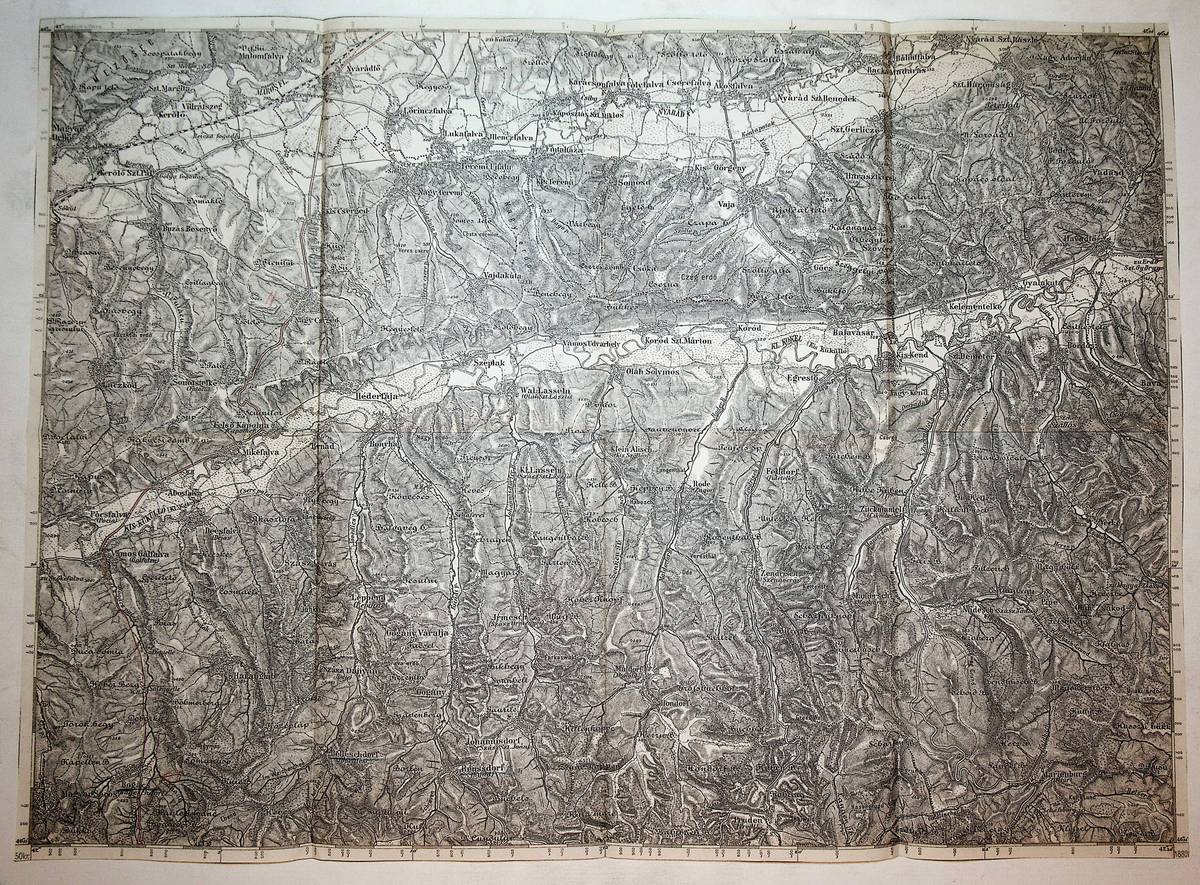
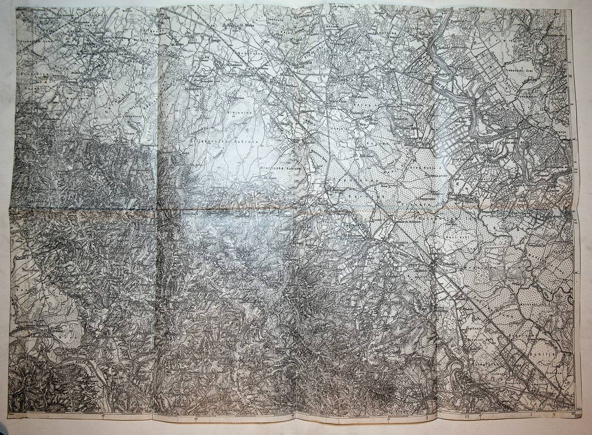
1883Best.-Nr. K-134Wien, Milit?rgeographisches Institut, 1883. Formatangabe ca 50 x 37 cm, in 8 Segmenten gefaltet Ausgabe: einf?rbig; Zustand: stellenweise leicht fleckig
1880Best.-Nr. K-183Wien, Milit?rgeographisches Institut, 1880. Formatangabe ca 50 x 37 cm, in 8 Segmenten gefaltet, Ausgabe: Einfarbig ; Zustand: mit eingen Buntstifteinzeichungen sonst gut
1900Best.-Nr. K-171Wien, Milit?rgeographisches Institut, 1900. Formatangabe ca 50 x 37 cm, in 8 Segmenten gefaltet, Ausgabe: Einfarbig mit Schummerung ; Zustand: mit einigen Unterstreichungen, sonst guter Zustand
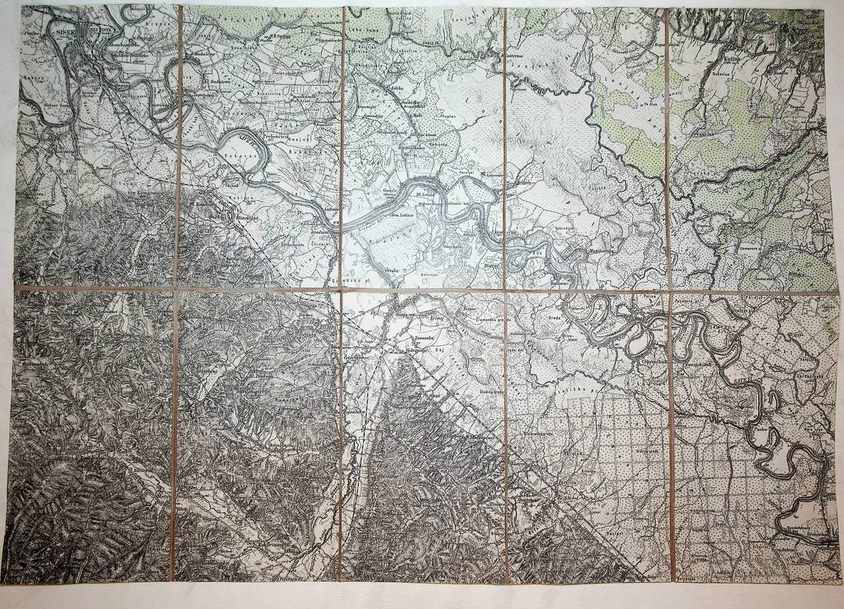
1914Best.-Nr. K-132Wien, Milit?rgeographisches Institut, [1914]. Formatangabe ca 50 x 37 cm, in 10 Segmenten auf Leinen aufgezogen, Ausgabe: einf?rbig; Zustand: Buntsift Unterstreichungen der Ortsnamen
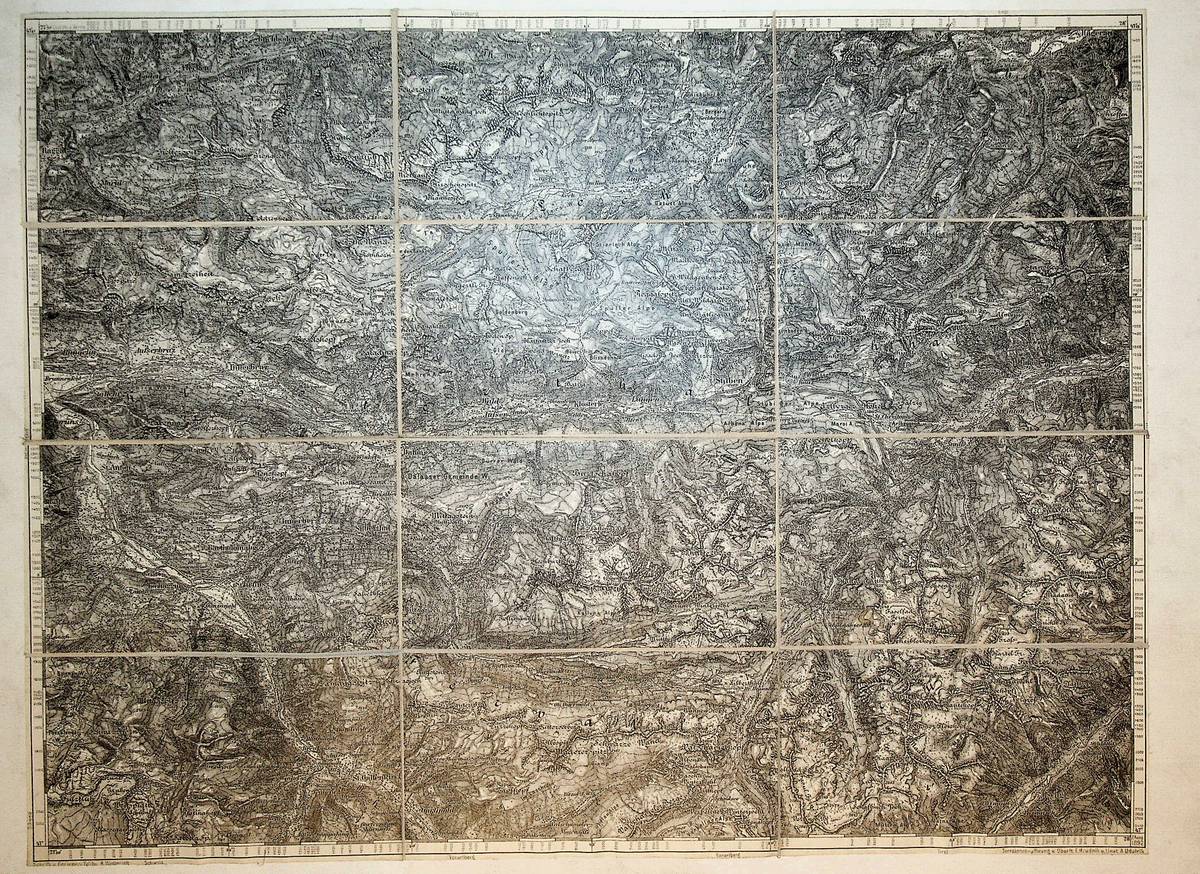
1892Best.-Nr. K-414Wien, Milit?rgeographisches Institut, 1892. Formatangabe ca 50 x 37 cm, gefaltet zu 12 Segmenten auf Leinen aufgezogen mit aufkaschiertem Ma?stab auf 1 Segmentr?ckseite , Ausgabe:einf?rbig ; Zustand: gut
1882Best.-Nr. K-124Wien, Milit?rgeographisches Institut, 1882. Formatangabe ca 50 x 37 cm, in 8 Segmenten gefaltet, Ausgabe: einf?rbig; Zustand: mit 1 Buntstiftunterstreichung
1826Best.-Nr. EAzz2285Wien, C. Schaumburg 1826. XII, 2, 608 S. Kart. d. Zt. Unaufgeschnitten, geringf. stockfleckig
1930Best.-Nr. 8409C1930. ca. 1930-1940. Querformat. ca. 125 x 172 cm. 2 Photographien. Original-Photographien mit weissem Bildrand Rückseiten beide mit Beschriftung Bleistift. Photographien gut erhalten leichte Gebrauchsspuren. Altersentsprechend guter Zustand. Die beiden Aufnahmen liegen in größerem Format und auf festem Photopapier vor. Die erste der beiden zeigt eine weite bewachsene Landschaft. Auf der Rückseite liegt eine Beschriftung vor die wir als "Gelände zwischen Molive - Likomba" ansehen. Sehr wahrscheinlich ist Moliwe in Kamerun damit bezeichnet. Die Photos stammen zudem aus einer privaten Sammlung welche sich insbesondere auf Kamerun und die 'Gesellschaft Süd-Kamerun' konzentrierte. Die zweite Aufnahme zeigt einen Flussverlauf mit der rückseitigen Beschriftung: "Sanaga mit Stromschnellen". Gemeint ist der in Kamerun längste Fluss Sanaga. Die historischen Aufnahmen stammen sehr wahrscheinlich aus den 1930er Jahren und nicht aus der deutschen Kolonialzeit selbst. Zahlreiche einstige Kolonialfirmen konnten jedoch Jahre nach Verlust der Kolonien Gebiete zurück kaufen. Möglicherweise sind die Photographien auch in diesem Kontext entstanden im Kontext einer wirtschaftlichen Tätigkeit vor Ort. Beide Aufnahmen gehören definitiv zusammen die Handschrift mit Bleistift ist identisch. Zudem ist auch der Umschlag des früheren Kolonial-Sammlers noch vorhanden und wird beigegeben. Das Photopapier beider Bilder weist die Kennzeichnung "Agfa Brovira" auf welches erst seit den 1920er Jahren verfügbar war. Historische Bilder mit Bezug zur deutschen Kolonialgeschichte in Kamerun! =================== LIEBE KUNDEN ICH MACHE MEINE DIESJÄHRIGE HERBSTAKTION MIT 30% AUF DEN GESAMTEN BESTAND. DIE AKTION LÄUFT BIS EINSCHLIESSLICH SONNTAG 25. OKTOBER. WICHTIG: DER 30%-RABATT WIRD ERST NACH IHRER BESTELLUNG ABGEZOGEN SIE ERHALTEN EINE EMAIL MIT DEN AKTUALISIERTEN ZAHLUNGSINFOS VON MIR. ICH FREUE MICH WIE IMMER AUF IHR INTERESSE AN MEINEN SELTENEN BÜCHERN ARCHIVALIEN UND UNIKATEN. ==================== unknown
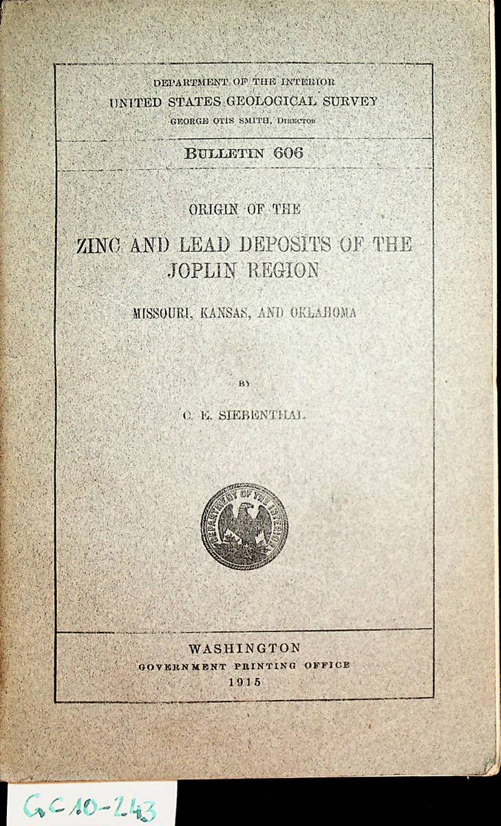
1915Best.-Nr. GC10-243Washington, DC, Gov. Print. Off, 1915. original Broschur, gr.-8?, ,283 S., XI Taf. : Ill., graph. Darst., Kt../ 283 p. plates, fold. maps, diagrs. (part fold.) / Bibliothekstempel / bibliotheekstempel / cachet de biblioth?que / librarystamp
1914Good Turkish, Ottoman (1500-1928) Original color map. Folded. Tears in margins. Slightly stained. Otherwise a good copy. Oblong atlas folio. (50 x 60 cm). In Ottoman script. [MAP of EAST BLACK SEA] Artvin, Rize, Oltu. Shows Artvin and Georgian borders, Rize (Rizeon - Rizunda - Rizini) and Oltu cities and regions. Scale: 1/200.000. Hegira: 1330 = Gregorian: 1914. This is one the serie of the Bonn projection maps which are the first map series in modern techniques in Turkey and the Ottoman Empire. In order to produce these maps covering Turkish territory, Reconnaissance Branch was incorporated into The Mapping Commission. The maps were produced in the datum based on the latitude and longitude of Ayasofya Mosque in equal area Bonn Projection. The field works for the 123 sheets covering the country were conducted by 76 staff. The production was completed in 18 years starting from east west. Field works continued without stopping except in years 1914 and 1920. This map series called also reconnaissance maps contributed a lot to producing 1:25.000 scale maps. Not description on map-maker. Extremely rare.
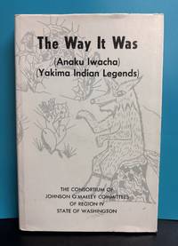
1974Best.-Nr. 12517Consortium of Johnson O'Malley Committees Region IV 1974. Hardcover 225 pages. Very good/Good. One of 2000 copies printed. Minor wear and soiling to dust jacket slight fraying to corners a couple short closed tears to edges. Flap price clipped. Light wear and soiling to illustrated blue cloth boards corners slightly rubbed. Front board slightly bowed. Pages clean and unmarked save for small checkmark next to author name on title page. Consortium of Johnson O'Malley Committees, Region IV hardcover
2000Best.-Nr. 50397Pirna : Canaletto-Forum - Pirna : TouristService, 2000. 176 S. : zahlr. Ill., Kt. ; 33 cm Pp.
Best.-Nr. 0880890053New. hardcover. New. Satisfaction Guaranteed or your money back. hardcover
1976Best.-Nr. mon0000066896U.S. Department of Agriculture 1976-01-01. Pamphlet. Good. in x in x in. USED. Paperback outside cover shows age related minimum too tolerable signs of use binder in good condition Main Text and Pages of Main Text in good condition. No signs of water damages No apparent signs writing No signs of underlining No signs of markings and has No signs of highlighting. very readable. U.S. Department of Agriculture unknown
1997Best.-Nr. 2111902153102453Takarajimasha 1997. Soft Cover. Fine. Volume: 1 Takarajimasha paperback
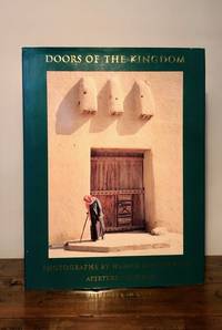
1998Best.-Nr. 9015New York: Aperture 1998. First Edition. Hardcover with dust jacket. Near Fine/Near Fine. Large 4to. Pp. 93 3. color illustrations. Errata slip laid in. Green cloth spine lettered in gilt. Near Fine damp stain lower edge of rear cover in Near Fine dust jacket. Haajar Gouverneur traveled throughout the Arabian Peninsula photographing each region's distinctive doorways and the remaining artisans who make them. Dust jacket is now housed in a removable clear archival sleeve. Aperture hardcover
1983Best.-Nr. 2092902141202841Chinese book office 1983. Soft Cover. Fine. Number of books: 2 Chinese book office paperback
1997Best.-Nr. 2092902141203154Chinese book office 1997. Soft Cover. Fine. Volume: 1 Chinese book office paperback