5 768 résultats
1913Very Good Turkish, Ottoman (1500-1928) Original color map on cloth. Folded. Wrinkled on paper. Stains on cloth. 12 sheets on paper. Oblong atlas folio. (50 x 60 cm). In Ottoman script.[MAP of ALEXANDRETTA] Iskenderun - Tayakadin. It shows villages and settlements in Tayakadin of Iskenderiye. Scale: 1/25.000. Hegira: 1329 = Gregorian: 1913. This is one the serie of the Bonn projection maps which are the first map series in modern techniques in Turkey and the Ottoman Empire. In order to produce these maps covering Turkish territory, Reconnaissance Branch was incorporated into The Mapping Commission. The maps were produced in the datum based on the latitude and longitude of Ayasofya Mosque in equal area Bonn Projection. The field works for the 123 sheets covering the country were conducted by 76 staff. The production was completed in 18 years starting from east west. Field works continued without stopping except in years 1914 and 1920. This map series called also reconnaissance maps contributed a lot to producing 1:25.000 scale maps. Not description on map-maker. A very detailed map. Extremely rare.
réf. DADAX0520235134New unknown
1980réf. gg1369Centre généalogique de l'Ouest Cahiers sous emboîtage 1980 In-4 (21 x 29,5 cm.), revues au dos agrafé ou brochées sous emboîtage, du n°24 au n°36 plus les n°41 et 49, en tout 14 numéros et 4 boîtes (dont 2 vides), illustrations noir et blanc in-texte ; menus incidents aux emboîtages, intérieur frais, très bon état. Livraison a domicile (La Poste) ou en Mondial Relay sur simple demande.
1965réf. 39877Tel Aviv: Irgun Yots'e Ezor Shvintsyan Be-Yis´ra'el 1965. Hardcover. YIZKER BUKH NOKH DREY-UN-TSVONTSIK HORUV GEVORENE YIDISHE KEHILES` IN SVENTSYANER GEGNT; SEFER ZIKARON LE-EZOR SHVINTSYAN. SEFER ZIKARON LE-ES´RIM VE-SHALOSH KEHILOT SHE-NEHREVU BE-EZOR SHVINTSYAN Tel-Aviv : Irgun Yots'e Ezor Shvintsyan be-Yis´ra'el19651st Edition. Original Publisher’s Cloth 4to Large 1954 columns. Includes endpaper maps and illustrations throughout. Chiefly in Yiddish. Title translates as “A Book of Remembrance for Twenty-Three Communities Destroyed in the Shvintsyan Area.” Each chapter concerns a different community: Svencian - New Svencian - Old and New Dugelishak - Ignalina - Lingmian - Kaltinian - Duksht - Podbrads - Lintop - Kimelishak - Heidutschak - Styatshik - - Gaviken - Weeds - Kazian - Kabilnik - Niemenchin - Fastov - Yadi - Myari. SUBJECTS: Jews -- Lithuania -- Svencionys -- History. Holocaust Jewish 1939-1945 OCLC: 23554363. Light wear Very Good Condition YIZ-18-9. Tel Aviv: Irgun Yots'e Ezor Shvintsyan Be-Yis´ra'el hardcover
réf. DADAX1584654465New unknown
réf. DADAX0367189739New unknown
1990réf. 33333338609Swindon UK.: Halcrow. 1990. Includes Maps. This book is part of a large purchase from a Public Sector Library and except where mentioned are for the most part LIKE NEW! MOSTLY the ONLY flaws are the blacked out they insisted Library stamps which show many of them to be UNUSED! This copy is Near Fine NEAR NEW. FEEL FREE TO E-MAIL FOR PHOTOGRAPHS AND FURTHER DETAILS. FROM A DEALER WHO TELLS YOU WHO THEY ARE AND WHAT THEIR TELEPHONE AND ADDRESS CONTACT DETAILS ARE!. EX PUBLIC SECTOR LIBRARY BLACKED OUT STAMPS. This is the First Edition. Spiral-bound/Plastic Cover. Near Fine NEAR NEW/No Jacket. 4to - over 9¾" - 12" tall. CARD COVERED PAPERBACK. Halcrow. Paperback
1996Book is in excellent condition in embossed black vinyl covers, no print at spine. Page block is made of heavy, glossy paper with a great many full page, full color photos throughout of exteriors, interiors, detail photos and some architectural drawings and paintings. Binding is solid and square, covers have sharp corners, exterior shows no blemishes, text/interior is clean and free of marking of any kind. Dust jacket shows edge wear with chipping and small tears. Contents include: The house in historical perspective, with subsections: Early Anatolia, The Pre-Anatolian Turks, The influence of Byzantine architecture, The Seljuks and Beyliks (Anatolian Lordiness / Principalities).; Factors in the development of the vernacular house, with subsections: The physical environment; climate and terrain, local building materials and structural; The cultural environment; Anatolia, Mesopotamia, and Persia, Caucasia. The house and its units; The room, sofa, service areas and storeys. Evolution of Anatolia house plans; Plans without a sofa, Exterior sofa plans, through sofa plans, central sofa plans.; Regional characters of Anatolian vernacular house, with subsections: Centers of development; Anatolia and Rumelia. Northern Anatolia; Marmara and Thrace; Western Anatolia; Central Anatolia; Eastern and Southeastern Anatolia, etc. 296 pages with a 16 page supplement.
réf. DADAX036707429XNew unknown
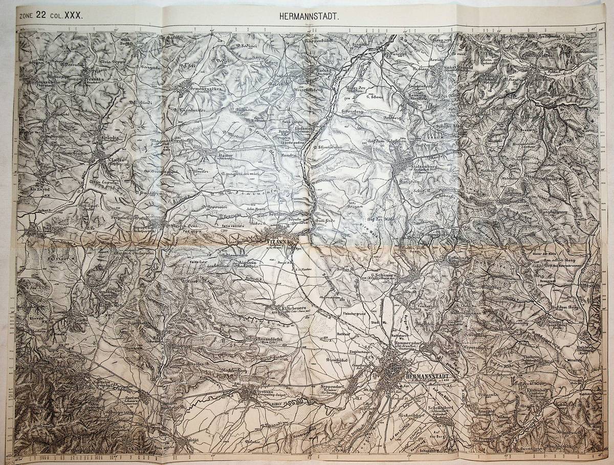
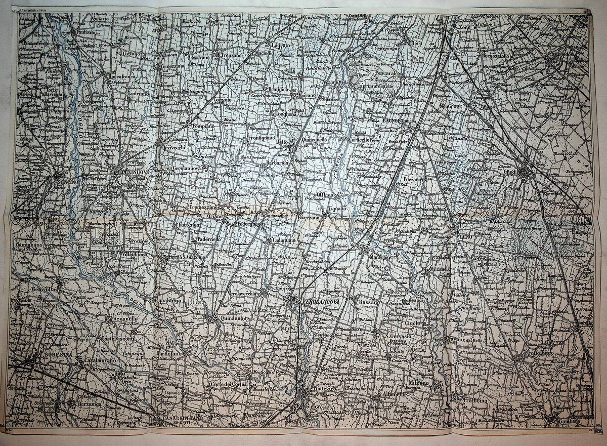
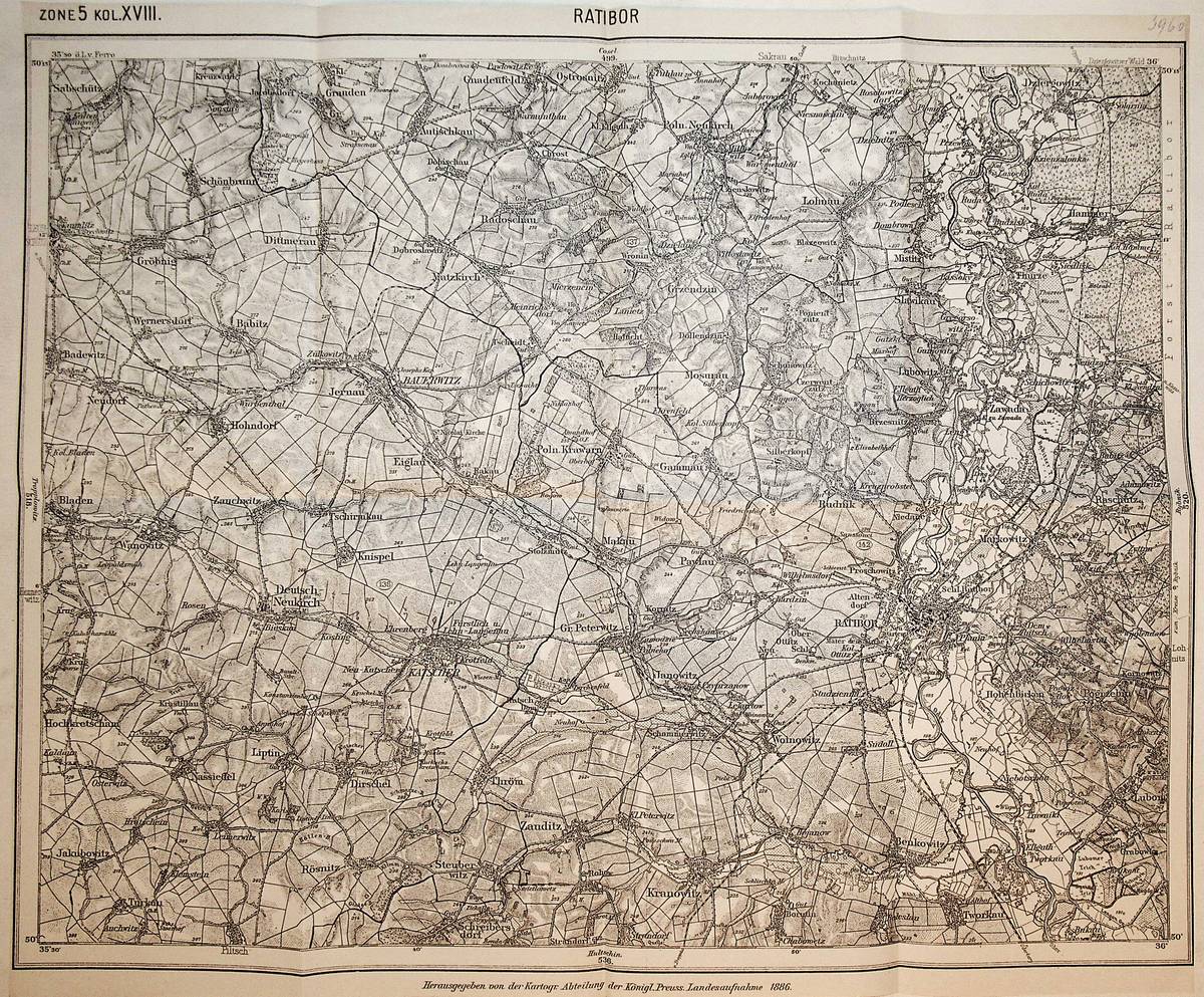
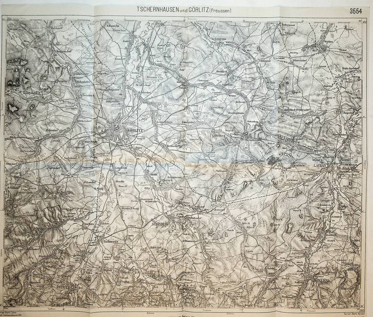
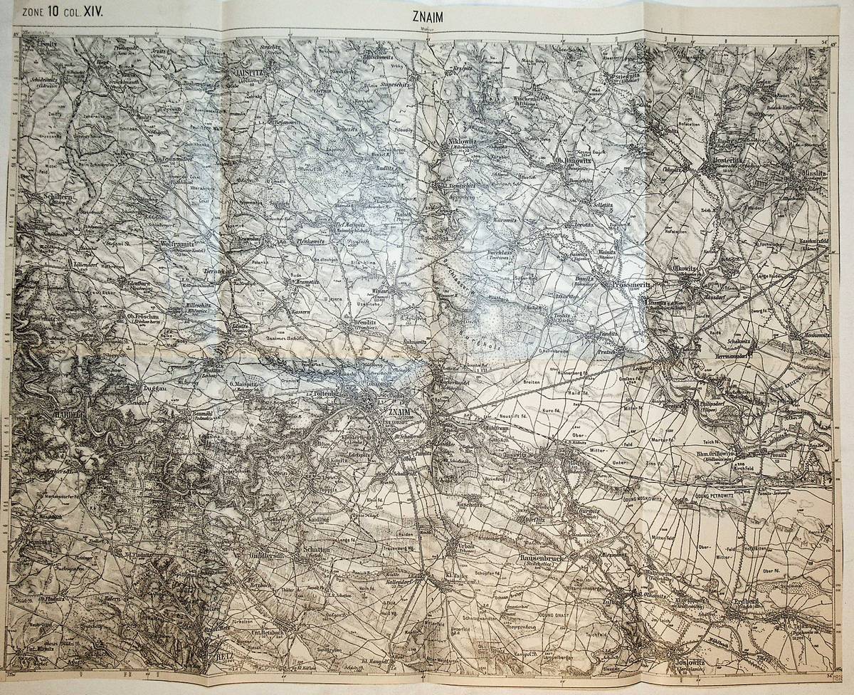
1910réf. K-1375Wien, Milit?rgeographisches Institut, ca. 1910. Formatangabe ca 50 x 37 cm, gefaltet zu 16 Segmenten, Ausgabe: einf?rbig ; Zustand: gut
1914réf. K-796Wien, Milit?rgeographisches Institut, um 1914. Formatangabe ca 50 x 37 cm, gefaltet zu 8 Segmenten, Ausgabe: einf?rbig ; Zustand: gut
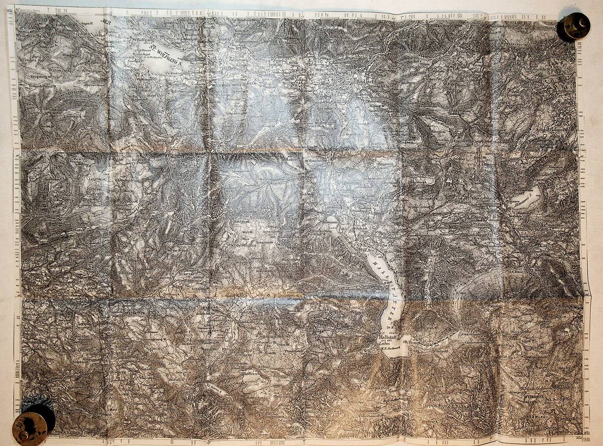
1883réf. K-955Wien, Milit?rgeographisches Institut, 1883. Formatangabe ca 50 x 37 cm, gefaltet zu 8 Segmenten, Ausgabe: einf?rbig ; Zustand: gut
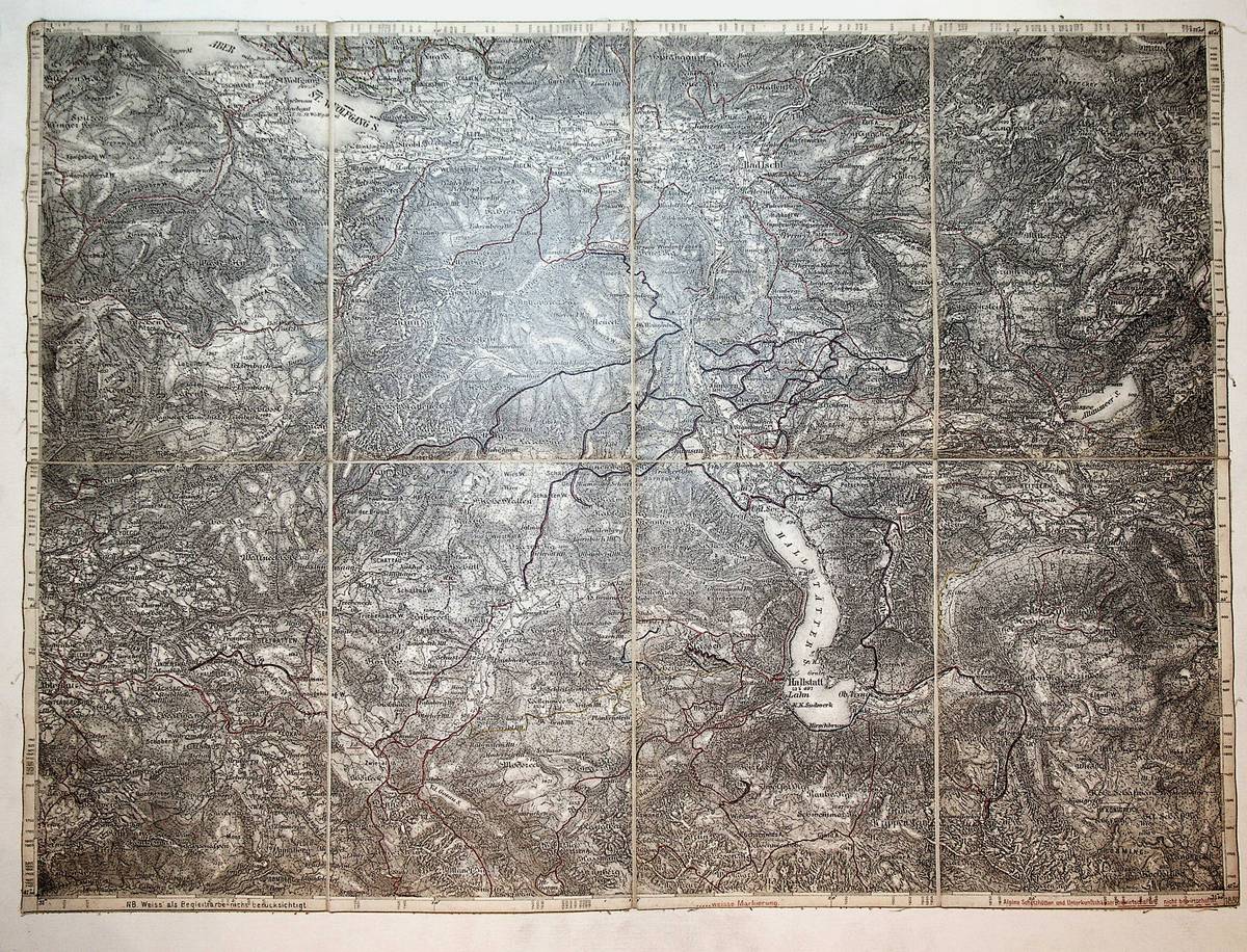
1908réf. K-240Wien, Milit?rgeographisches Institut, 1908. Formatangabe ca 50 x 37 cm, gefaltet zu 8 Segmenten auf Leinen aufgezogen mit aufkaschierter Kartenlegende und dem Ma?stab auf 2 Segmentr?ckseiten , Ausgabe:mehrfrabig bzw mit farbigen Wegmarkierungenaufdruck ; Zustand: gut
1895réf. K-822Wien, Milit?rgeographisches Institut, um 1895. Formatangabe ca 50 x 37 cm, gefaltet zu 8 Segmenten, Ausgabe: einf?rbig ; Zustand: gut
1896réf. K-128Wien, Milit?rgeographisches Institut, 1896. Formatangabe ca 50 x 37 cm, in 8 Segmenten gefaltet, Ausgabe: zweif?rbig; Zustand: gut
réf. K-863Wien, Milit?rgeographisches Institut. Formatangabe ca 50 x 37 cm, gefaltet zu 8 Segmenten, Ausgabe: einf?rbig ; Zustand: gut
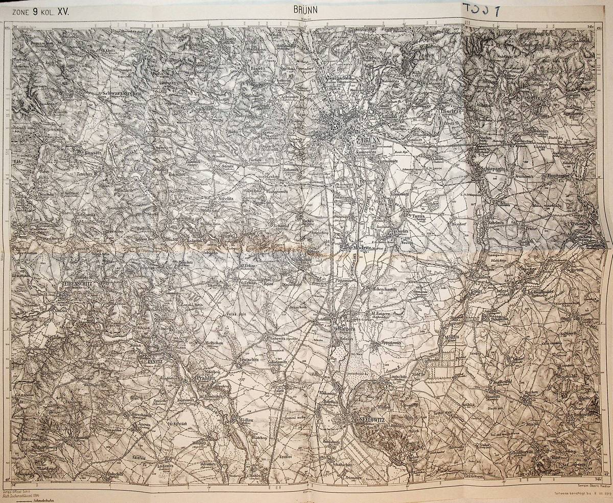
1912réf. K-747Wien, Milit?rgeographisches Institut, um 1912. Formatangabe ca 50 x 37 cm, gefaltet zu 8 Segmenten, Ausgabe: einf?rbig; Zustand: gut
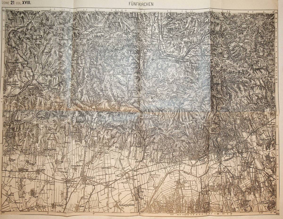
1878réf. K-979Wien, Milit?rgeographisches Institut, 1878. Formatangabe ca 50 x 37 cm, gefaltet zu 8 Segmenten, Ausgabe: einf?rbig ; Zustand: gut
1920Very Good Turkish, Ottoman (1500-1928) Original color map of Erzurum city center and it environment. Folded. 69x42,5 cm. In Ottoman script. One sheet. Shows center of Erzurum city and topography environment. No scale info. Hegira: 1336 = Gregorian: 1920. Not description on map-maker. This is one the serie of the Bonn projection maps which are the first map series in modern techniques in Turkey and the Ottoman Empire. In order to produce these maps covering Turkish territory, Reconnaissance Branch was incorporated into The Mapping Commission. The maps were produced in the datum based on the latitude and longitude of Ayasofya Mosque in equal area Bonn Projection. The field works for the 123 sheets covering the country were conducted by 76 staff. The production was completed in 18 years starting from east west. Field works continued without stopping except in years 1914 and 1920. This map series called also reconnaissance maps contributed a lot to producing 1:25.000 scale maps. Extremely rare.
réf. DADAX184542235XNew unknown
réf. 73-4981Rouen: Region Haut-Normandie 1994. 42x60 cm. Very Good. Color poster. Text in French. Rouen: Region Haut-Normandie, 1994 unknown
1989réf. 2080302106805665Culture publishing company 1989. Soft Cover. Fine. Number of books: one Culture publishing company paperback
1973réf. 2090602128800906Meiji bunken 1973. Soft Cover. Fine. Number of books: 1 book Meiji bunken paperback
1937réf. 2083002117700087Hiroshima Transportation Office Station Master 1937. Soft Cover. Fine. Size: B5 Hiroshima Transportation Office Station Master paperback
1995réf. 2091202133211097Culture publishing company 1995. Soft Cover. Fine. Volume: 1 Culture publishing company paperback