673 résultats
réf. DADAX0415206170New unknown
réf. DADAX0415627117New unknown
réf. SONG0714654108Used: Good unknown
réf. DADAX0195136616New unknown
réf. DADAX0415583721New unknown
réf. DADAX0765612259New unknown
réf. DADAX1849711887New unknown
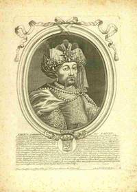
réf. 91115801Paris n.d. c.17th century Bertrand. Single sheet extracted from a book copper engraving of the Japanese Shogun with Portuguese text describing Japan & noting Jesuits there.RARE A handsome portrait of the Shogun sheet size about 19.5 x 28 cm. matted with a crest below the portrait. A bit of mild foxing but a very early and suitble work for framing and library display. unknown
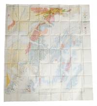
réf. 526001940. 3 original colour maps each c. 110 x 110 cm 40 x 45 inches folding to 20 x 12.5 cm. Natural fold creases generally very fresh and clean. Shows anchorage Big delta Blying Sound Circle fairbanks Gulkana Healy Kantishna River Kenai Livengood Mount Hayes Mount McKinley Seldovia Seward Talkeetna Talketna Mountains Tanan Tyonek Valdez etc. 1940 unknown
réf. DADAX0367901250New unknown
1993réf. x-0792323254Kluwer Academic Pub 1993. Hardcover. New. 422 pages. 9.53x6.38x1.34 inches. Kluwer Academic Pub hardcover
réf. DADAX2705306668New unknown
réf. 79037Paris Ch. Delagrave 1881. Two maps printed in black blue and red 25.7 x 25.6 cm; and 16.5 x 17.4 cm on a single folded sheet 46.7 x 30.3 cm. Original printed wrappers. = Two seldom-seen if not downright rare maps showing the Polar region and Africa indicating where the latest explorations were made thus showing the borderline between areas known and those still unknown in the year 1880. Contained in the Bulletin of the Société de Géographie Paris together with descriptive text. Also included is an account of the disastrous Flatters expedition. Paul Flatters 1832-1881 "was a French soldier who spent a long period as a military administrator in Algeria. He is known as leader of the Flatters expedition an ill-fated attempt to explore the route of a proposed Trans-Saharan railway from Algeria to the Sudan. Almost all members of the expedition were massacred by hostile Tuaregs. The survivors resorted to eating grass and to cannibalism on the long retreat through the desert. After a brief outburst of public indignation the fiasco was forgotten." French Wikipedia. The Polar map is in blue the African map in grey. Short tear at map adhesion point; slight fraying to the uncut wrapper's edges; otherwise very good clean and unmarked. unknown
réf. DADAX0199278601New unknown
réf. DADAX0415062586New unknown
réf. DADAX0415203171New unknown
réf. DADAX041546448XNew unknown
réf. DADAX041516821XNew unknown
réf. DADAX0367190494New unknown
réf. DADAX0415159059New unknown
réf. DADAX3484365196New unknown
réf. DADAX0415363411New unknown
réf. DADAX0415189683New unknown
réf. DADAX0940359014New unknown
1989réf. 2090202120411539Hiroshima Prefecture 1989. Soft Cover. Fine. Number of books: 1 Hiroshima Prefecture paperback