Antiquariat.de
5 768 résultats
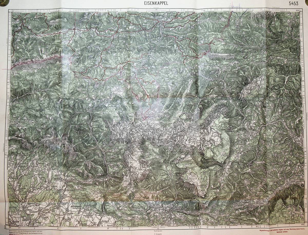
1926réf. K-266Wien, Kartographisches fr?her Milit?rgeographisches Institut, 1926. Formatangabe ca 50 x 37 cm, gefaltet zu 15 Segmenten, Ausgabe: mehrfarbig ; Zustand: gut mit einigen handschriftlichen Einzeichnungen
réf. 158821 X 30 cm., agrafé, 19 pp. La revue du livre en Pays de la Loire. Edition spéciale interrégionale diffusée par la Mission Val de Loire.
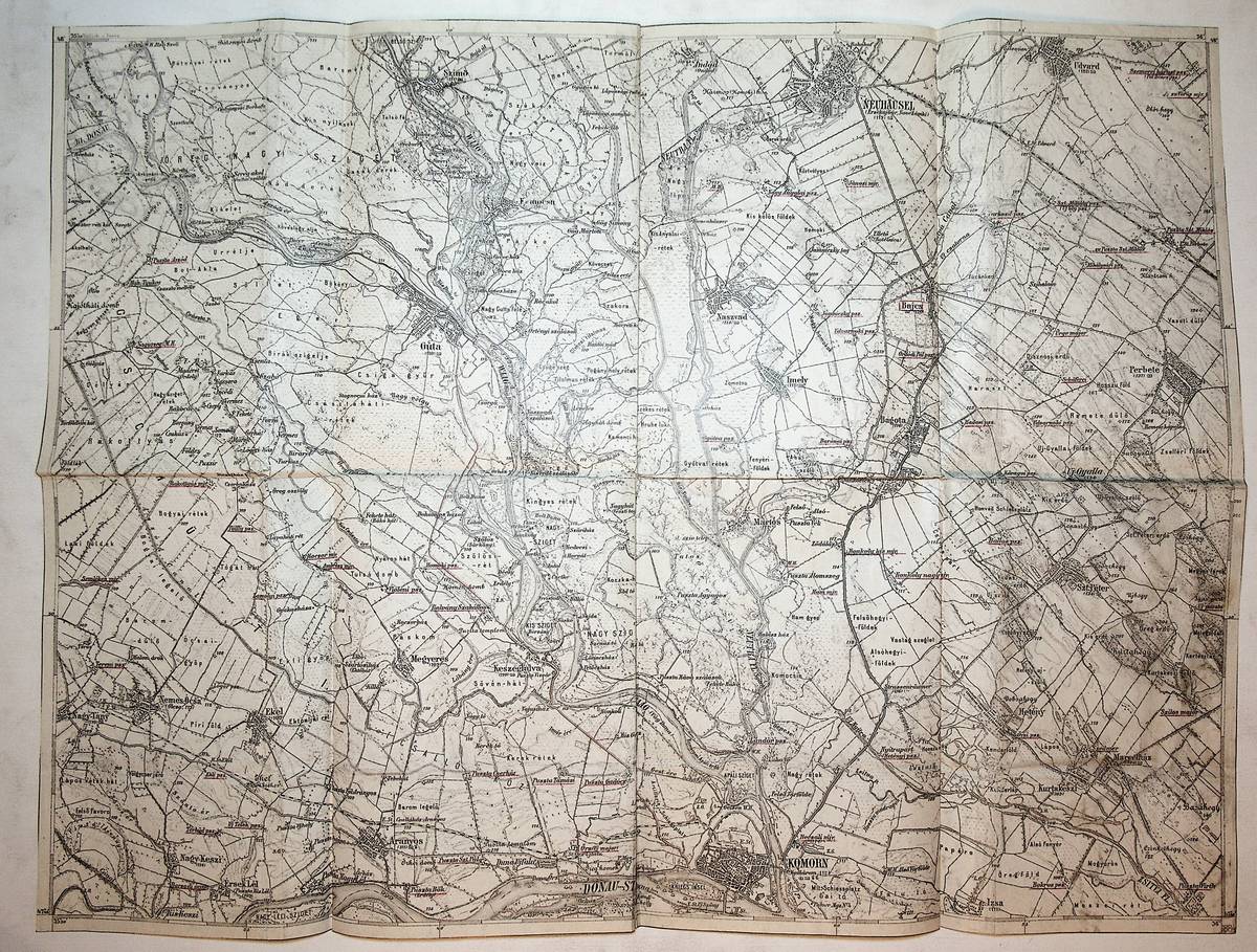
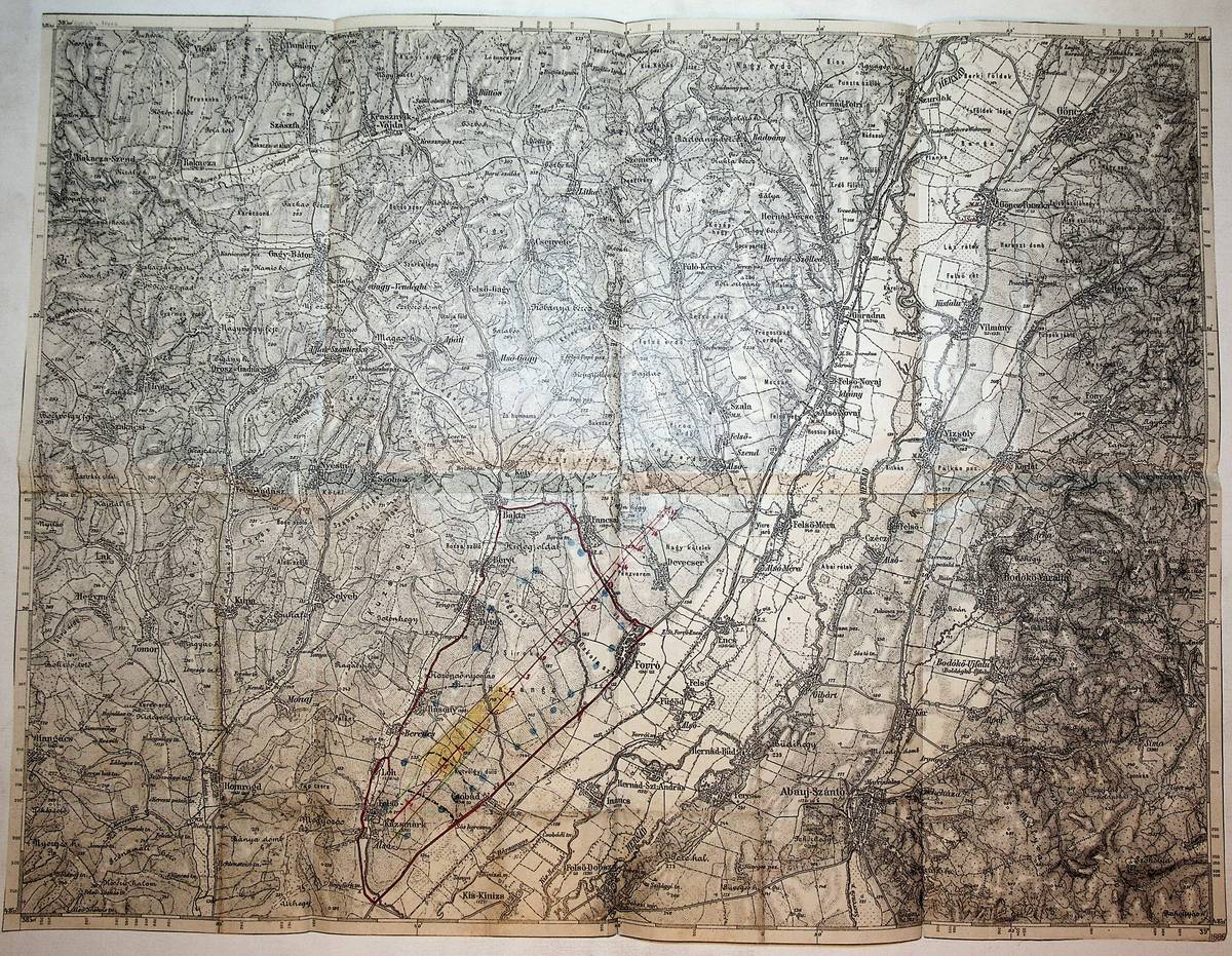
1884réf. K-089Wien, Milit?rgeographisches Institut, 1884. Formatangabe ca 50 x 37 cm, gefaltet zu 8 Segmenten, Ausgabe: einf?rbig; Zustand: Rotstift Unterstreichungen und Einzeichnungen mit kleinen Einrissen
1974Short history of Estonia. 98p.illus. map. Gift inscription on ffep to the "Lithuanian National Guards Association in Toronto" from the Estonian Veteran's Association of Toronto. Else fine.. Book
réf. 18686Lyon, imp. Storck, 1903, 1 broché, couverture illustrée par Jules Groulier. in-8 de 24 pages + 1 carte en couleurs dépliante ;
1923réf. 32702Bern : Eidgenössische Landestopographie, 1923. Maßstab 1 : 50 000. Mehrfarbige Karte mit eingezeichneten Wanderwegen. Größe: 61 x 67 cm - gefaltet 17 x 12.
réf. 18462Lyon, Fournier, 1894, 1 broché. in-8 de 109 pages ;
réf. 54706Imprimerie centrale de l'ouest 1939 divers programme 27*21 sp pages
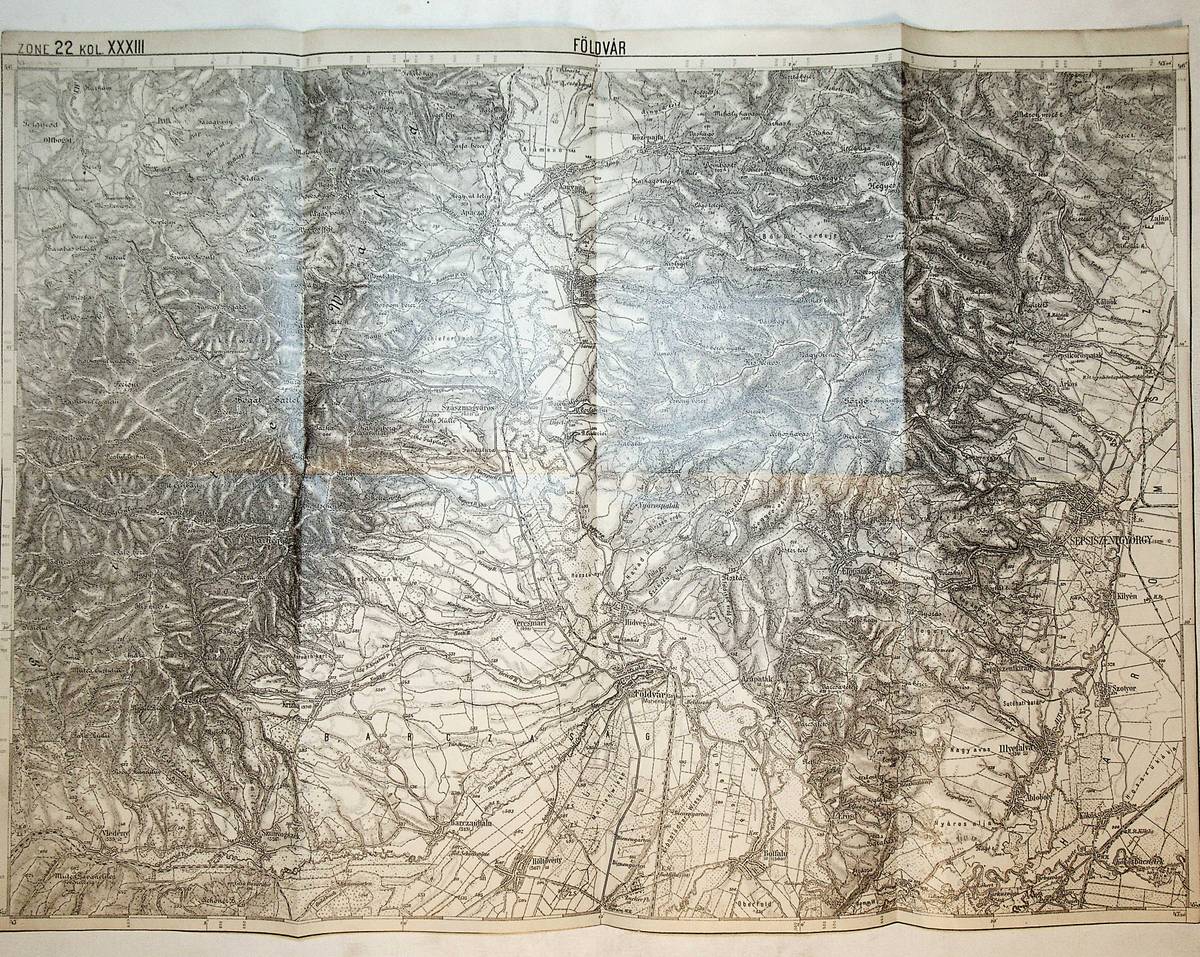
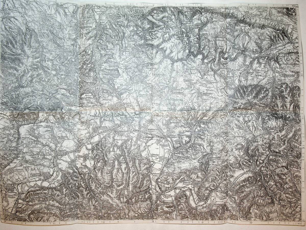
1900réf. K-1354Wien, Milit?rgeographisches Institut, um 1900. Formatangabe ca 50 x 37 cm, gefaltet zu 8 Segmenten, Ausgabe: einf?rbig ; Zustand: gut +
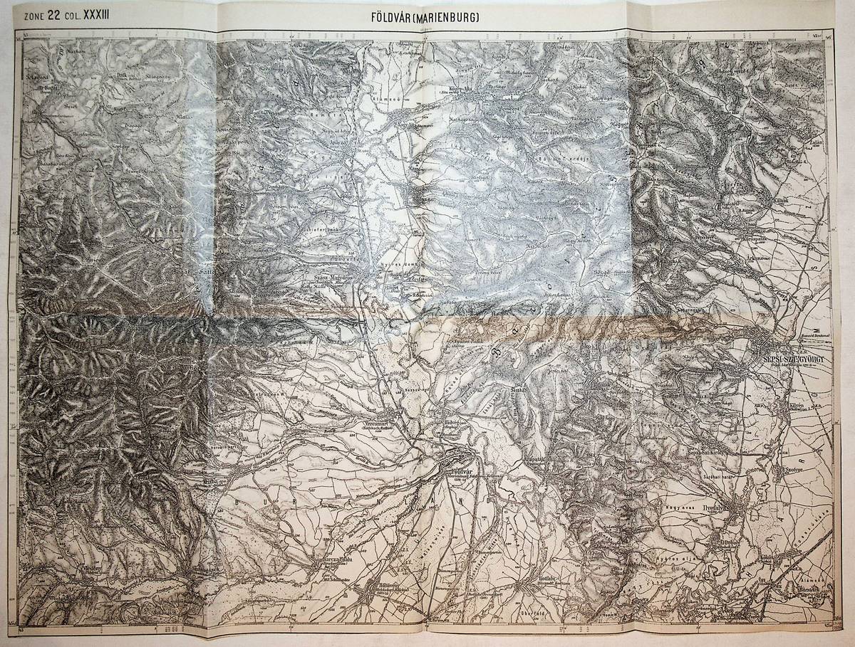
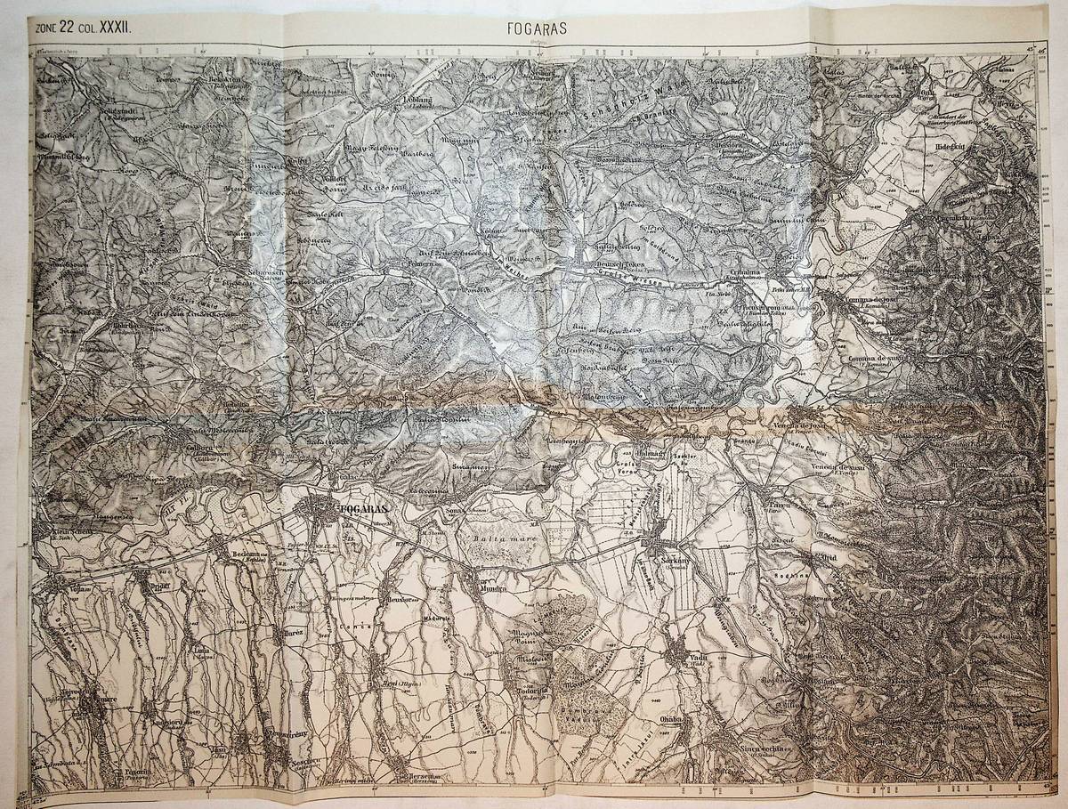
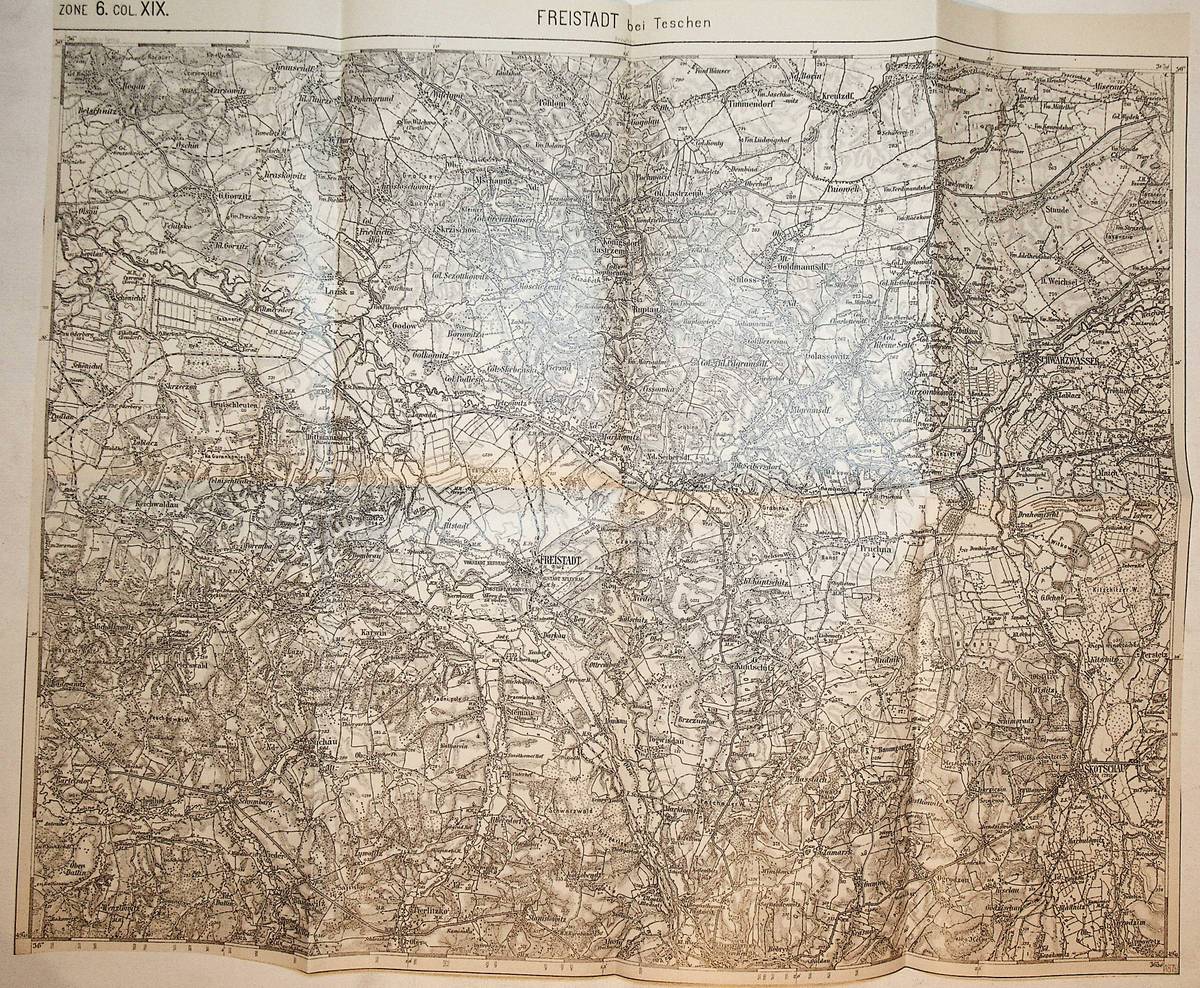
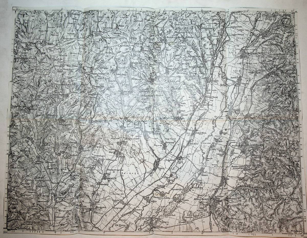
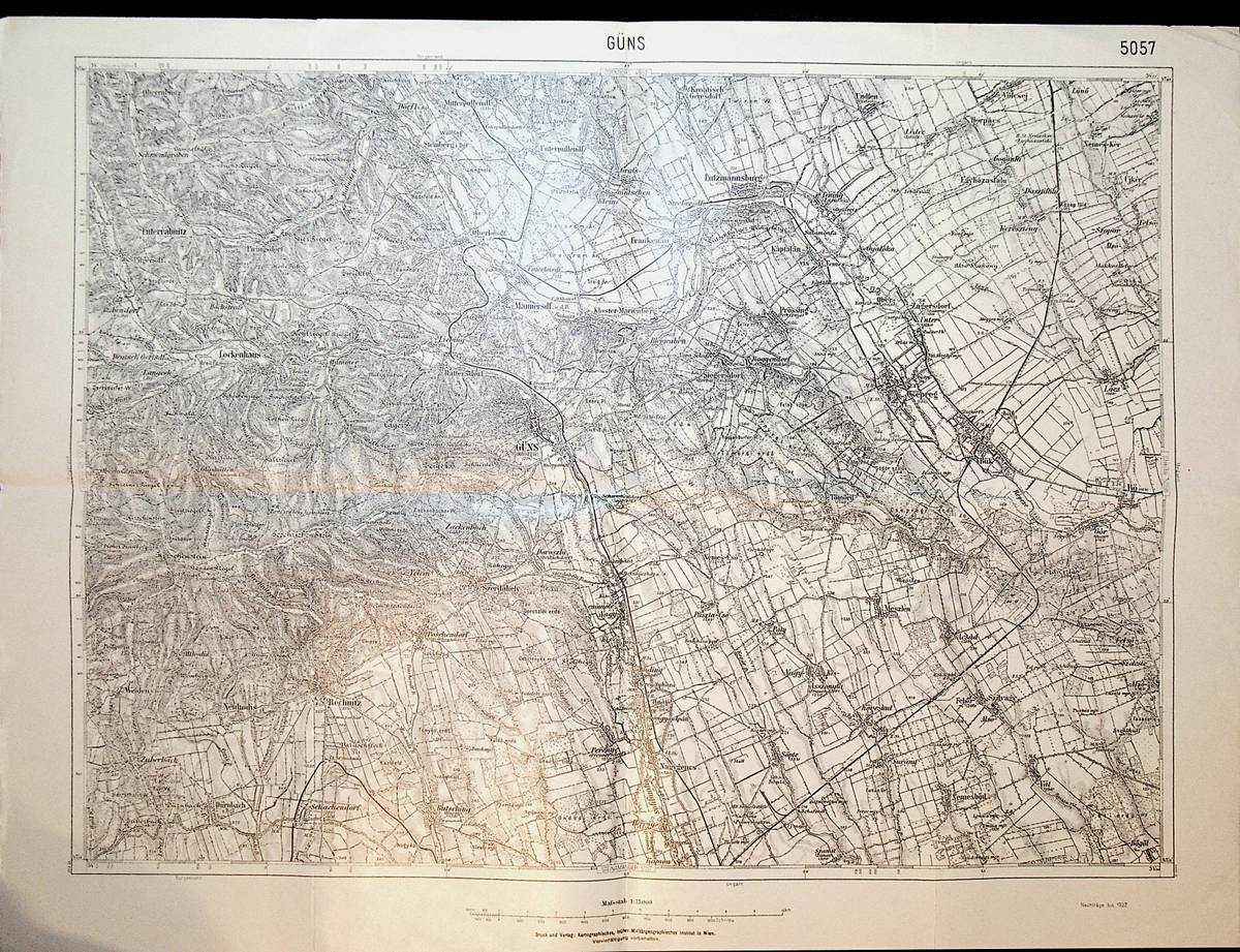
1896réf. K-825Wien, Milit?rgeographisches Institut, 1896. Formatangabe ca 50 x 37 cm, gefaltet zu 8 Segmenten, Ausgabe: einf?rbig ; Zustand: gut
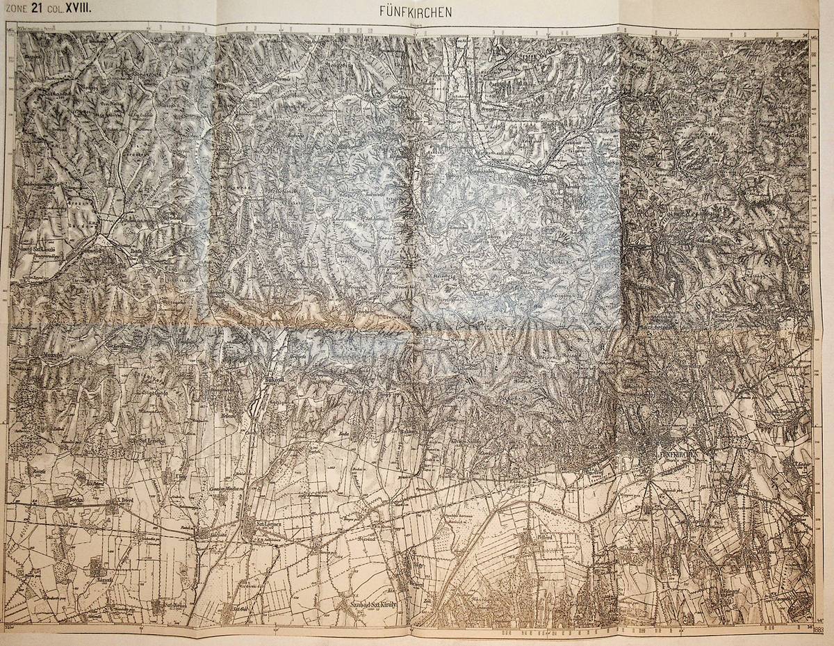
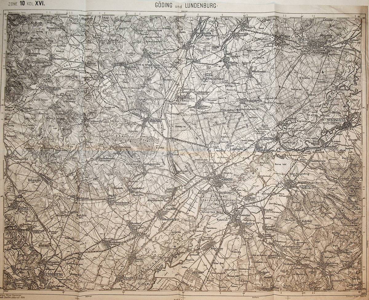
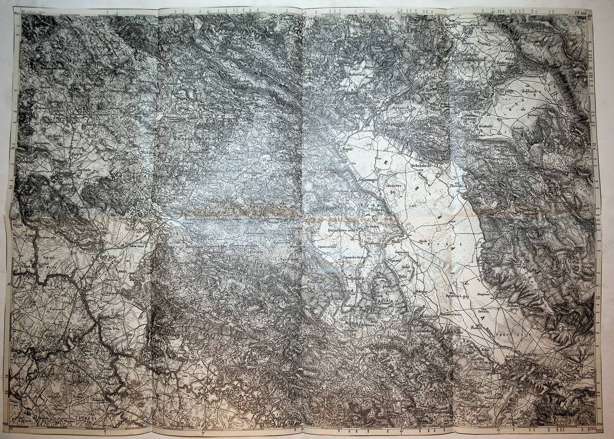
1883réf. K-955Wien, Milit?rgeographisches Institut, 1883. Formatangabe ca 50 x 37 cm, gefaltet zu 8 Segmenten, Ausgabe: einf?rbig ; Zustand: gut
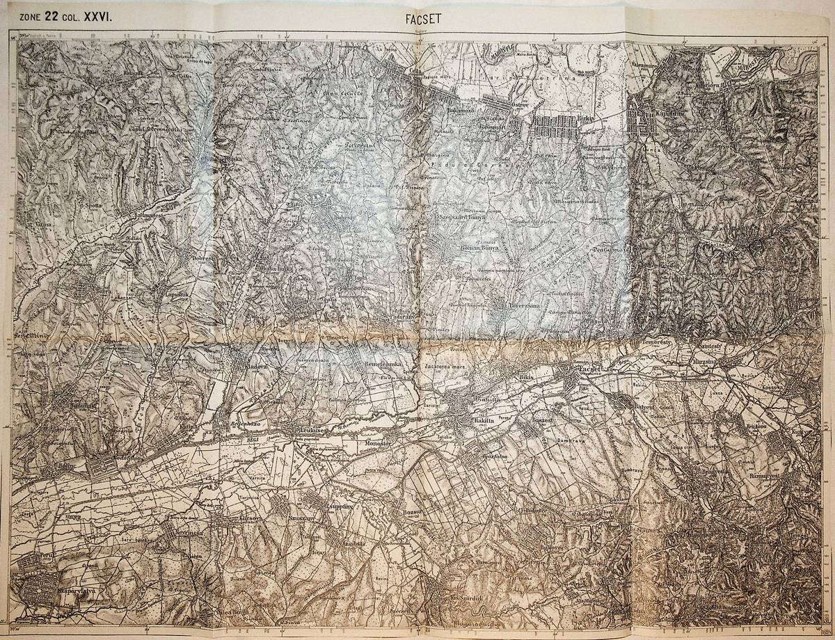
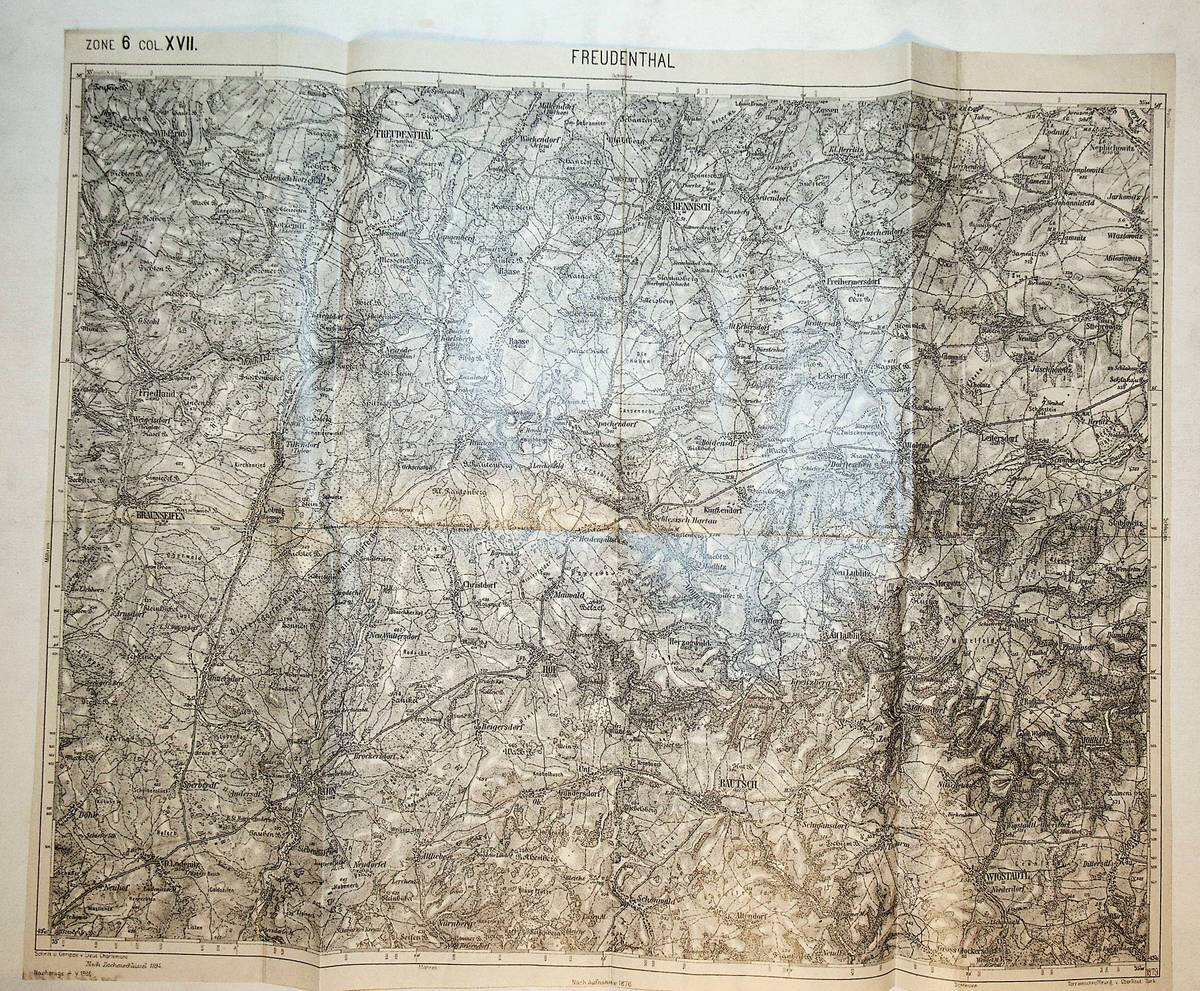
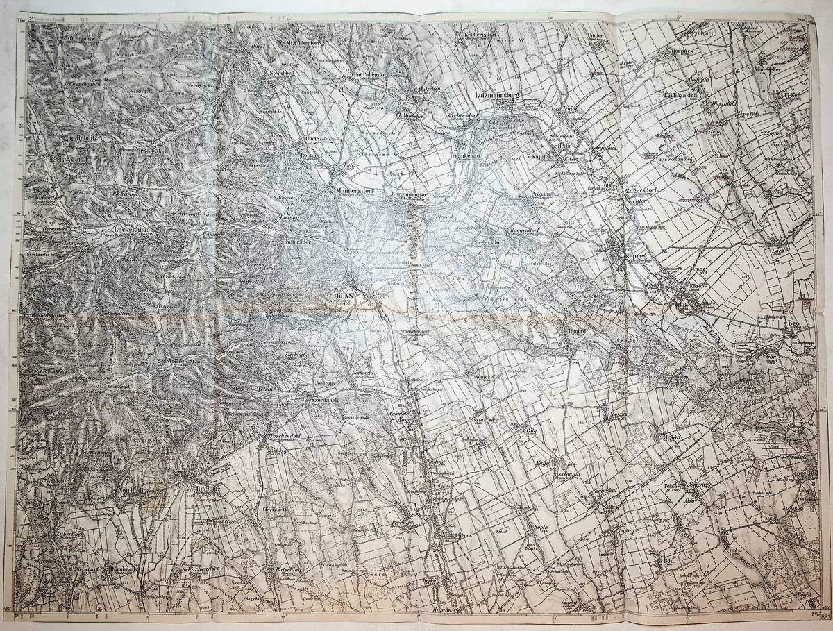
1884réf. K-893Wien, Milit?rgeographisches Institut, ca.1884. Formatangabe ca 50 x 37 cm, gefaltet zu 8 Segmenten, Ausgabe: einf?rbig ; Zustand: ein kleines Loch, gut
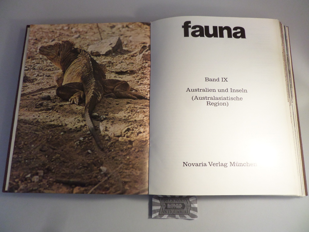
1971réf. 166862München : Novaria-Verlag, 1971. 300 S. zahlr. Ill. (z. T. farb.) Kunstleder, gebundene Ausgabe.
1895réf. K-824Wien, Milit?rgeographisches Institut, 1895. Formatangabe ca 50 x 37 cm, gefaltet zu 8 Segmenten, Ausgabe: einf?rbig ; Zustand: drei kleine L?cher, sonst gut
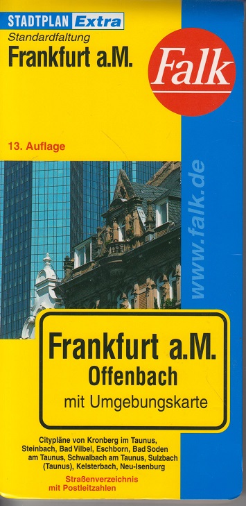
2001réf. 142506Ostfildern : Falk, 2001. 1 Kt. : mehrfarb. ; 119 x 95 cm, gefaltet + Beil. (77 S. : Kt.) Landkarte
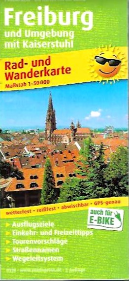
réf. 35093Wien, Publicpress/Freytag & Berndt, 2019. 7. Auflage, [Ausgabe] wetterfest, reißfest, abwischbar 1 Karte : mehrfarbig Größe; 60 x 89 cm, gefaltet 20 x 9 cm
1879réf. K-1091Wien, Milit?rgeographisches Institut, ca. 1879. Formatangabe ca 50 x 37 cm, gefaltet zu 8 Segmenten, Ausgabe: einf?rbig ; Zustand: gut
1898réf. K-1089Wien, Milit?rgeographisches Institut, ca. 1898. Formatangabe ca 50 x 37 cm, gefaltet zu 8 Segmenten, Ausgabe: einf?rbig ; Zustand: gut
1910réf. K-981Wien, Milit?rgeographisches Institut, um 1910. Formatangabe ca 50 x 37 cm, gefaltet zu 8 Segmenten, Ausgabe: einf?rbig ; Zustand: gut
1886réf. K-082Wien, Milit?rgeographisches Institut, 1886. Formatangabe ca 50 x 37 cm, gefaltet zu 8 Segmenten, Ausgabe: einf?rbig; Zustand: gut, Ortsnamen mit Buntstift / Rotstift Unterstreichungen und Einzeichungen
1886réf. K-081Wien, Milit?rgeographisches Institut, 1886. Formatangabe ca 50 x 37 cm, gefaltet zu 8 Segmenten, Ausgabe: einf?rbig; Zustand: gut
1883réf. K-092Wien, Milit?rgeographisches Institut, 1883. Formatangabe ca 50 x 37 cm, gefaltet zu 8 Segmenten, Ausgabe: einf?rbig; Zustand: gut, etwas ungenau gefaltet, Ortsnamen mit Buntstift / Rotstift Unterstreichungen
1936réf. A141-1183Wien, Milit?rgeographisches Institut, 1936. Formatangabe ca 50 x 37 cm, gefaltet zu 8 Segmenten, Ausgabe: einf?rbig; Zustand: gut
1906réf. K-096Wien, Milit?rgeographisches Institut, 1906. Formatangabe ca 50 x 37 cm, gefaltet zu 8 Segmenten, Ausgabe: einf?rbig; Zustand: gut
1883réf. K-170Wien, Milit?rgeographisches Institut, 1883. Formatangabe ca 50 x 37 cm, in 8 Segmenten gefaltet, Ausgabe: Einfarbig ; Zustand: gut