|
ORDNANCE SURVEY
Ordnance Survey Road Map of Sheffield. Sheet 13. Layers. Half-Inch to One Mile. [Ellis Martin cover].
Folding coloured map on cloth measuring 22 x 30 ins (approx. 55.5 x 76.0 cms) folding in 21 panels to 7.5 x 4.25 ins (approx. 19.0 x 11.0 cms); original pictorial card wrappers, neat contemporary signature on front wrapper, wrappers lightly age-soiled else a very good, bright, clean copy. With the trade ticket of Moyse of Sheffield on rear wrapper. The Half Inch series was first published in 1919 with striking 'motorist' artwork by Ellis Martin. The present copy is the 1939 revision; the covers are the green and brown variant with green sheet name. Browne, 12.2.a

|
|
|
ORDNANCE SURVEY
Ordnance Survey. St. Albans. (Large Sheet Series with Layers). Sheet 29. Scale: Two Miles to One Inch.
Folding coloured map on cloth measuring 20.5 x 28.5 ins (approx. 52.0 x 72.0 cms) folding in 24 panels to 7.0 x 3.75 ins (approx. 17.75 x 9.5 cms), some mild age-soiling; original white cloth wrappers blocked and lettered in black, wrappers mildly age-soiled and lightly frayed at extremities else a good, clean copy.

|
|
|
Ordnance Survey
Pwllheli : One-Inch Map of Great Britain No 115 (cloth)
Cloth backed map in near fine condition, unmarked and not rubbed with some creasing near the folds.. Dusty cover with nicks to the oversize extremeties. 1pp. Seventh Series.

|
|
|
Ordnance Survey
Reprint of the First Edition of the One-inch ORDNANCE SURVEY of England and Wales : Sheet No. 21 : Huddersfield & Manchester
Large fold-out map in excellent unmarked condition. 1pp.

|
|
|
Ordnance Survey
Reprint of the First Edition of the One-inch ORDNANCE SURVEY of England and Wales : Sheet No. 26 : Northwich & Warrington
Large fold-out map in excellent unmarked condition. Slip folder with very slight bumps to corners. 1pp. Reprint of the Ordnance Survey map covering parts of Cheshire and (originally) Lancashire with data up to about 1890.
|
|
|
Ordnance Survey
Reprint of the First Edition of the One-inch ORDNANCE SURVEY of England and Wales : Sheet No. 43 : Leicester
Large fold-out map in very good unmarked condition with some rubbing to fold corners. Slip folder unmarked with some rubbing and creasing . 1pp. Reprint of the Ordnance Survey map covering Leicester and surrounding area with data up to about 1890.

|
|
|
Ordnance Survey
Snowdon: Sheet 107
Very light wear to covers. eng
|
|
|
Ordnance Survey
Wenlock Edge (North): Sheet SO 59
no publication date (1970s), scale 1: 25000 eng
|
|
|
ORDNANCE SURVEY 1916
Carte De France Entoilée , ST OMER . Section Sheet 27° S.E., de La 1° Guerre Mondiale ( Map of France of Sheet 27° S.E. For the First War )
Ordnance Survey 1916 68 Cm X 88 Cm Carte entoilée illustrée . Plan de St Omer , Wisques , Quelmes , Acquin , forêt national de Tournehem , Norbécourt , Houlle , St Momelin au 1/20 000° en couleurs . L'entoilage ensanglanté par la blessure du soldat est imprimé d'un glossaire ( glossary ) français-anglais . Quelques défauts d'usages que l'on pardonnera vues les conditions dans lesquelles cette guerre de tranchées s'est déroulée . Histoire 1° Guerre Mondiale . - 1 p. , 250 gr.
Referentie van de boekhandelaar : 007289
|
|
|
ORDNANCE SURVEY 1916
Carte De France Entoilée , ST OMER . Section Sheet 27° S.E., de La 1° Guerre Mondiale ( Map of France of Sheet 27° S.E. For the First War )
Carte entoilée illustrée . Plan de St Omer , Wisques , Quelmes , Acquin , forêt national de Tournehem , Norbécourt , Houlle , St Momelin au 1/20 000° en couleurs . L'entoilage ensanglanté par la blessure du soldat est imprimé d'un glossaire ( glossary ) français-anglais . Quelques défauts d'usages que l'on pardonnera vues les conditions dans lesquelles cette guerre de tranchées s'est déroulée . Histoire 1° Guerre Mondiale . - 1 p. , 250 gr.
|
|
|
Ordnance Survey of Great Britain
England, South East and London World War II Map: England & Wales Air Sheet 12
33"x23" reinforced paper map. Undated - circa 1945? Scale: one quarter inch to one mile Geographical Section, General Staff, No. 3957 (Air). "F/O Ellis" neatly printed in each corner in ink. Average wear. Book
|
|
|
Ordnance Survey of Ireland
Ordnance Survey of Ireland 1:250,000 Sheet 5 South West
No marks or inscriptions. Clean, not torn folded 1:250, 000 map opens out to 28 x 35 inches. Tiny nicks/creasing to oversized part of slightly sunned covers. 1pp. Covers South West Ireland from Limerick in the north down to Cork and Killarney in the west across to Tipperary.
|
|
|
Ordnance Survey.
MAP OF ROMAN BRITAIN (Third Edition). Scale Sixteen Miles to One Inch.
44 p. + Very Large Folding Color Map and text maps. 270mm. Original pictorial wraps. Softbound. Nice copy. Very good+ CLASSICS BX 2
|
|
|
OREGON MAPS. GILHAM Fred Howes.
Gilham’s guide Oregon 1930. A simple accurate up-to-date index of Oregon for business firms. Every Oregon home should have one.
Portland OR: Gilham’s Guide 1930. 8vo. 91 1 pp. Maps throughout. Tan printed softcovers minor darkening and thumbing to fore-edges 1 small corner creased still a VG copy. First edition of this scarce automobile travel map guide to Oregon for travelers and businessmen. Supplied with an extended index the strip maps all offer auto roads and stage roads for buses as well as showing railroad lines. In addition ferries post offices Western Union Express Offices and much more are shown. In addition there are mileage maps for Washington & Oregon included as well. Gilham 1882-1949 was a lifetime Portland OR resident who published gravel guides and histories on the Pacific Northwest but after losing his business during the Great Depression went to work for the Jones Lumber Co. Gilham’s Guide, paperback
Referentie van de boekhandelaar : 56484
|
|
|
ORGIAZZI (J.A.).
Carte statistique, politique, et minéralogique de l'Italie, où sont tracées toutes les routes, relais, et distances de postes, & les nouvelles limites, d'après les derniers traités.
Paris, Orgiazzi, 1816. En 2 feuilles de 24 sections chacune, montées sur toile et pliées, pouvant être jointes pour former une carte d'environ 1,22 x 1,10 m.
Referentie van de boekhandelaar : LBW-5480

|
|
|
Orlandi, Stefano
S. Maria Novella e i suoi chiostri monumentali. Piccola guida storico-artistica.
cm. 13,5 x 22, 64 pp. con 51 ill. 131 gr. 64 p.
|
|
|
ORNANCE SURVEY
Ordnance Survey Map of South London and Environs. Third Edition. One Inch. [Stanford cover]. IN STANFORD COVER
Folding coloured map on cloth measuring 21.5 x 30.5 ins (approx. 54.5 x 77.5 cms) folding in 21 panels to 7.0 x 4.5 ins (approx. 17.75 x 11.5 cms), lightly age-soiled as usual ; original marbled wrappers, upper wrapper with printed paper label, two folds neatly reinforced with tape, wrappers mildly age-faded else a very good, clean copy. The survey for the Third Edition (the second revision of the New Series) was carried out between 1901 and 1912. Coverage extends to Reigate in the south. Scarce in the Stanford cover, immediately predating the first of the OS-branded covers published in 1914.
|
|
|
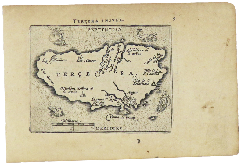
ORTELIUS (Abraham).
[ACORES] Terçera insula.
[Anvers, 1598]. 82 x 103 mm.
Referentie van de boekhandelaar : LBW-1400
|
|
|
ORTELIUS (Abraham).
[LUXEMBOURG] Lutzeburg.
[Anvers, 1598]. 90 x 103 mm.
Referentie van de boekhandelaar : LBW-1380

|
|
|
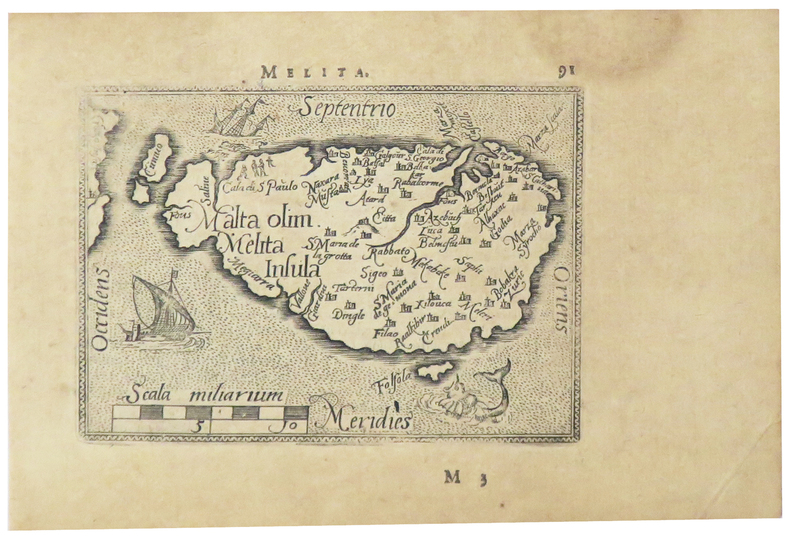
ORTELIUS (Abraham).
[MALTE] Melita.
[Anvers, 1598]. 80 x 107 mm.
Referentie van de boekhandelaar : LBW-5386
|
|
|
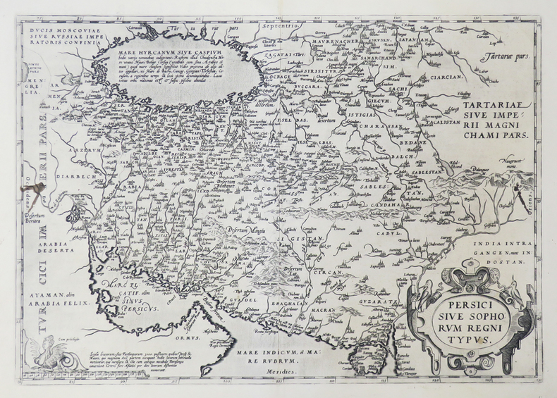
ORTELIUS (Abraham).
[PERSE] Persici sive Sophorum regni typus.
[Anvers, 1592]. 349 x 496 mm.
Referentie van de boekhandelaar : LBW0251e
|
|
|
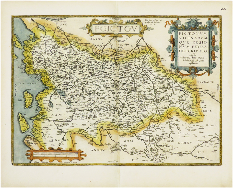
ORTELIUS (Abraham).
[POITOU] Poictou. Pictonum vicinarumque regionum fidiss descriptio.
Anvers, 1579 [1612]. 360 x 504 mm.
Referentie van de boekhandelaar : LBW-6675
|
|
|
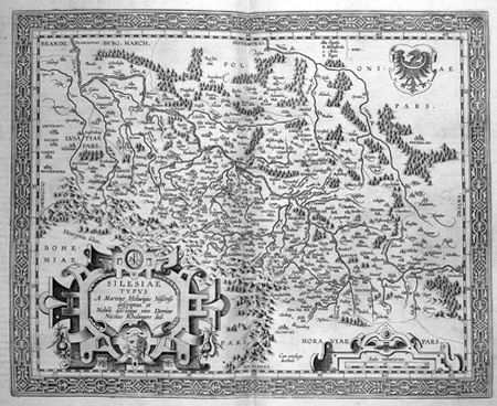
ORTELIUS (Abraham).
[SILESIE] Silesiae typus.
[Anvers, 1603]. 344 x 420 mm.
Referentie van de boekhandelaar : LBW02528
|
|
|
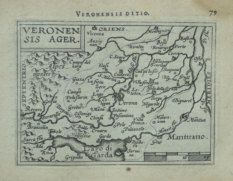
ORTELIUS (Abraham).
[VERONE] Veronensis ager.
[Anvers, 1598]. 82 x 107 mm.
Referentie van de boekhandelaar : LBW-1417
|
|
|
ORTELIUS (Abraham).
Africae propriae tabula.
[Anvers, 1608]. 335 x 486 mm.
Referentie van de boekhandelaar : LBW01b3a

|
|
|
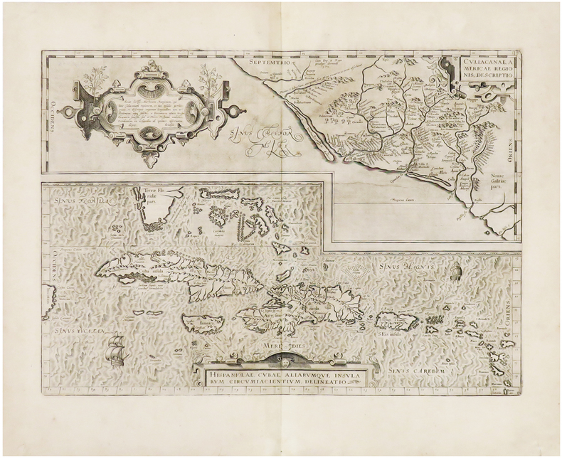
ORTELIUS (Abraham).
Hispaniolae, Cubae, aliarumque insularum circumiacientium, delineatio - Culiacanae, Americae regionis, descriptio.
[Anvers, 1608]. 355 x 498 mm.
Referentie van de boekhandelaar : LBW-943
|
|
|
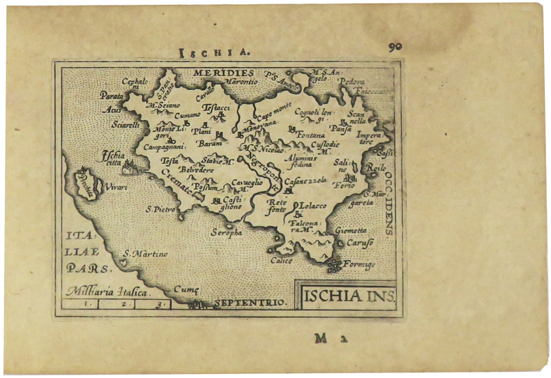
ORTELIUS (Abraham).
Ischia ins.
[Anvers, 1598]. 82 x 106 mm.
Referentie van de boekhandelaar : LBW-1405
|
|
|
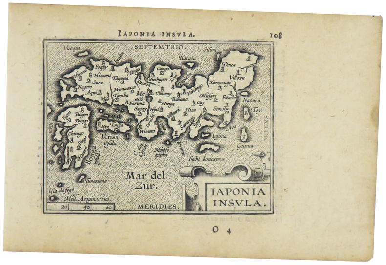
ORTELIUS (Abraham).
Japonia insula.
[Anvers, 1598]. 82 x 102 mm.
Referentie van de boekhandelaar : LBW-1424
|
|
|
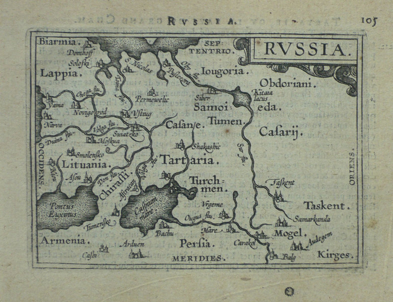
ORTELIUS (Abraham).
Russia.
[Anvers, 1598]. 80 x 106 mm.
Referentie van de boekhandelaar : LBW-1431
|
|
|
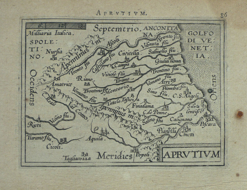
ORTELIUS (Abraham);
[ABRUZZES] Aprutium.
Anvers 1598 80 x 105 mm.
Referentie van de boekhandelaar : LBW-1406
|
|
|
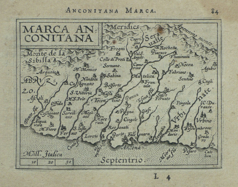
ORTELIUS (Abraham);
[ANCONE] Marca Anconitana.
Anvers 1598 82 x 106 mm.
Referentie van de boekhandelaar : LBW-1407
|
|
|
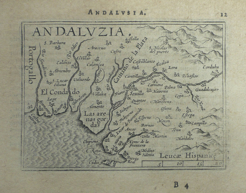
ORTELIUS (Abraham);
[ANDALOUSIE] Andaluzia.
Anvers 1598 80 x 102 mm.
Referentie van de boekhandelaar : LBW-1398
|
|
|
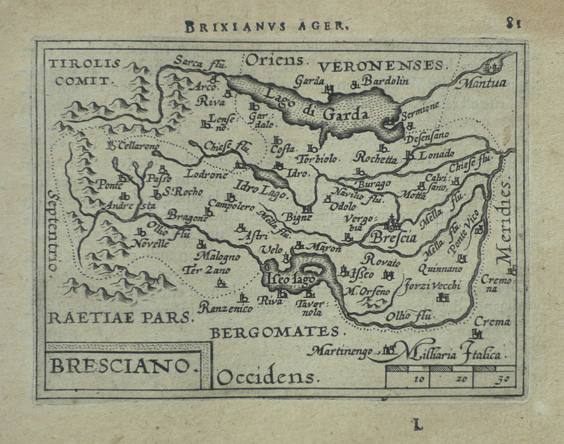
ORTELIUS (Abraham);
[BRESCIA] Bresciano.
Anvers 1598 82 x 106 mm.
Referentie van de boekhandelaar : LBW-1419
|
|
|
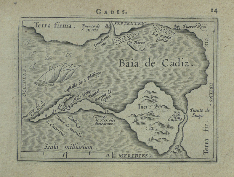
ORTELIUS (Abraham);
[CADIX] Gades.
Anvers 1598 81 x 104 mm.
Referentie van de boekhandelaar : LBW-1499
|
|
|
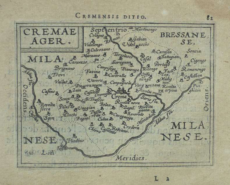
ORTELIUS (Abraham);
[CREMA] Cremae ager.
Anvers 1598 82 x 105 mm.
Referentie van de boekhandelaar : LBW-1421
|
|
|
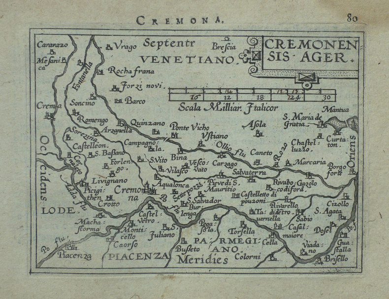
ORTELIUS (Abraham);
[CREMONE] Cremonensis ager.
Anvers 1598 80 x 105 mm.
Referentie van de boekhandelaar : LBW-1418
|
|
|
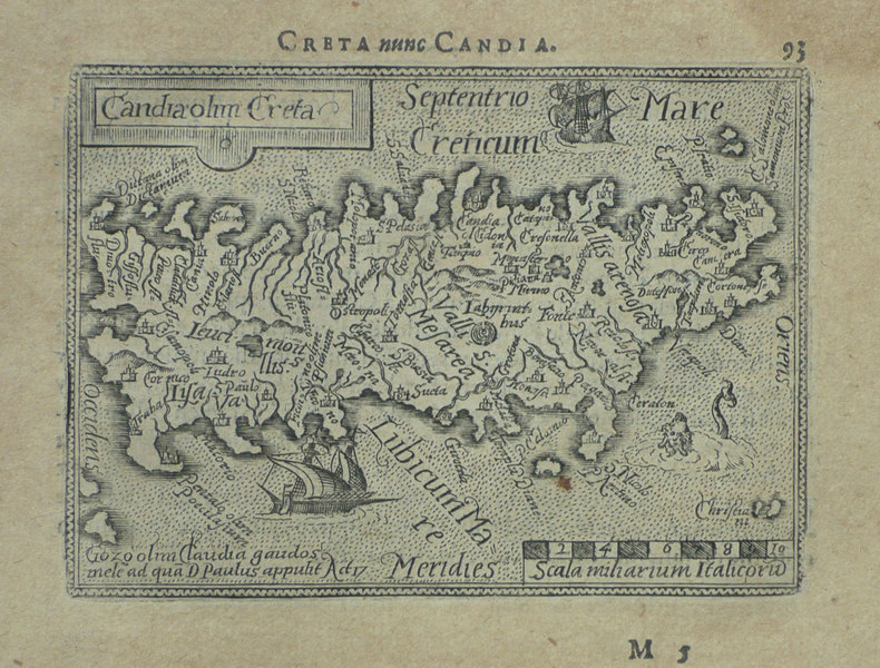
ORTELIUS (Abraham);
[CRETE] Candia olim Creta.
Anvers 1598 82 x 106 mm.
Referentie van de boekhandelaar : LBW-1432
|
|
|
ORTELIUS (Abraham);
[CROATIE] Histria.
Anvers 1598 82 x 105 mm.
Referentie van de boekhandelaar : LBW-1389

|
|
|
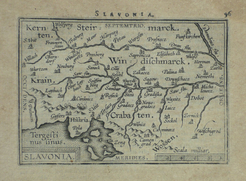
ORTELIUS (Abraham);
[CROATIE] Slavonia.
Anvers 1598 80 x 110 mm.
Referentie van de boekhandelaar : LBW-1399
|
|
|
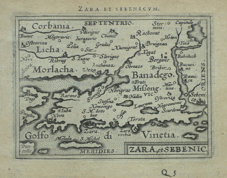
ORTELIUS (Abraham);
[CROATIE] Zara et Sebenico.
Anvers 1598 81 x 105 mm.
Referentie van de boekhandelaar : LBW-1430
|
|
|
ORTELIUS (Abraham);
[FLORENCE] Florentinum dominium.
Anvers 1598 81 x 105 mm.
Referentie van de boekhandelaar : LBW-1410

|
|
|
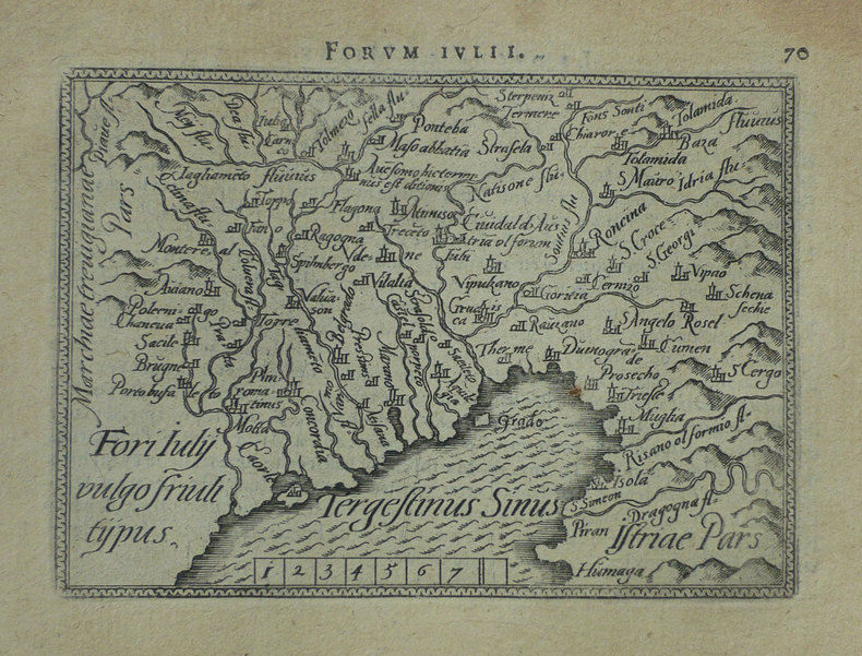
ORTELIUS (Abraham);
[FRIOUL] Fori Iuly vulgo Friuli typus.
Anvers 1598 82 x 105 mm.
Referentie van de boekhandelaar : LBW-1422
|
|
|
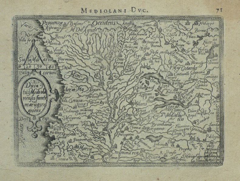
ORTELIUS (Abraham);
[MILANAIS] Ducatus Mediolanensis finitimarumq regionis.
Anvers 1598 83 x 110 mm.
Referentie van de boekhandelaar : LBW-1412
|
|
|
ORTELIUS (Abraham);
[ORVIETO] Oropitum.
Anvers 1598 81 x 105 mm.
Referentie van de boekhandelaar : LBW-1415

|
|
|
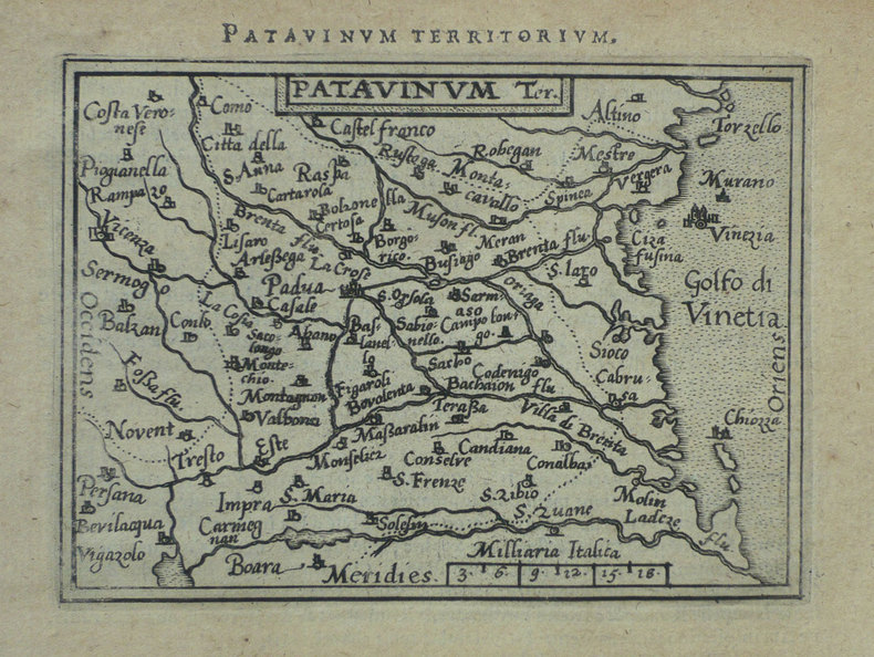
ORTELIUS (Abraham);
[PADOUE] Patavinum.
Anvers 1598 82 x 105 mm.
Referentie van de boekhandelaar : LBW-1423
|
|
|
ORTELIUS (Abraham);
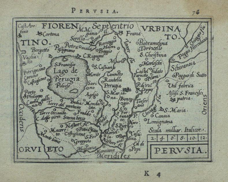
[PEROUSE] Perusia.
Anvers 1598 82 x 107 mm.
Referentie van de boekhandelaar : LBW-1416
|
|
|
ORTELIUS (Abraham);
[PIEMONT] Pedemontanae vicinorumque regionum auctore Iacobo Castaldo descrip.
Anvers 1595-1609 369 x 494 mm.
Referentie van de boekhandelaar : LBW04178

|
|
|
ORTELIUS (Abraham);
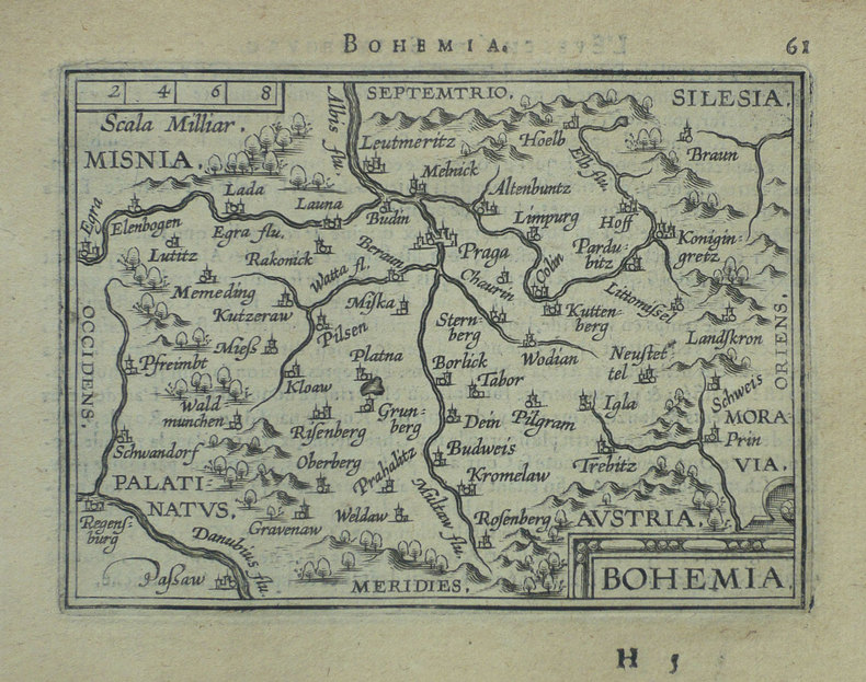
[REPUBLIQUE TCHEQUE] Bohemia.
Anvers 1598 81 x 105 mm.
Referentie van de boekhandelaar : LBW-1401
|
|
|
ORTELIUS (Abraham);
[ROME] Romanum territorium.
Anvers 1598 81 x 106 mm.
Referentie van de boekhandelaar : LBW-1409

|
|
|
ORTELIUS (Abraham);
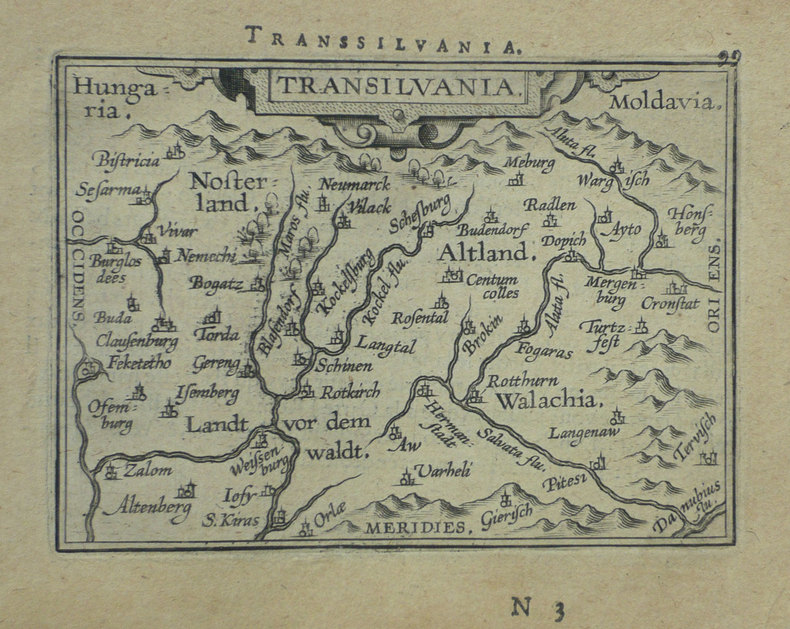
[ROUMANIE] Transilvania.
Anvers 1598 80 x 105 mm.
Referentie van de boekhandelaar : LBW-1395
|
|
 De zoekresultaten per email ontvangen
 Zoekresultaten downloaden als PDF
 RSS feed


