|
Gerlach, Hans-Henning
Atlas zur Eisenbahn-Geschichte. Deutschland, Österreich, Schweiz.
Zürich/Wiesbaden, Orell Füssli, 1986. 40 cm. 7, XCVII, 98 S., zahlr. Ill., graph. Darst. u. Kt. Gewebe, verg. Rü.-u. Deck.-Tit., Deck.-Ornament. Sehr guter Zust., sauber erhalten.
Riferimento per il libraio : 50795AB
|
|
|
Gerlach, Hans-Henning
Atlas zur Eisenbahn-Geschichte. Deutschland, Österreich, Schweiz. Hans-Henning Gerlach.
Zürich & Wiesbaden: Orell Füssli 1986. 7, XCVII, 98 Seiten. Mit zahlreichen Abbildungen. 2° (35-45 cm). Illustrierter Orig.-Pappband. [Hardcover / fest gebunden].
Riferimento per il libraio : 3088829

|
|
|
Gerlach, Hans-Henning
Weltaltals zur Philatelie
Braunschweig, Verlag Borek, 1980. mit vielen farbigen Spezialkarten. ill. OPbd. (Glanzpappe), 96 S., 4°
Riferimento per il libraio : 7326 ISBN : 38791081

|
|
|
Geschichtsatlanten Geschichtsatlas - Schimkus, Andreas und Johannes Ebert
Der große historische Weltatlas : Epochen - Ereignisse - Entwicklungen. [Red.: Andreas Schimkus (Leitung) ; Barbara Römer. Autoren (dt. Ausg.): Johannes Ebert ...], Ein ADAC-Atlas
München : ADAC-Verlag 2004. 400 S. : zahlr. Abb., graph. Darst. und Kt. ; 37 cm x 28 cm Pp., gebundene Ausgabe, Hardcover/Pappeinband, Exemplar in gutem Erhaltungszustand
Riferimento per il libraio : 20295

|
|
|
GEUGEOT.
ATLAS ROUTIER GEUGEOT. CARTE DE LA FRANCE 1 / 1000000.
CHEZ L AUTEUR.. 1952. In-8 Carré. Broché. Bon état. Couv. légèrement passée. Dos satisfaisant. Intérieur acceptable. 9 planches dépliantes de cartes en couleurs. Reliure à spirales.

|
|
|
GEUGEOT.
ATLAS ROUTIER GEUGEOT. CARTE DE LA FRANCE. 1 / 1000000.
CHEZ L AUTEUR.. 1954. In-8 Carré. Broché. Bon état. Couv. convenable. Dos satisfaisant. Intérieur acceptable. 9 planches dépliantes de cartes en couleurs. Reliure à spirales.

|
|
|
Ghega, Carl Ritter von
Malerischer Atlas der Eisenbahn über den Semmering. Mit vorausgehender historisch-statistischer Uebersicht der im Betriebe stehenden Eisenbahnen in Oesterreich.
Wien, Carl Gerold & Sohn, 1854. Qu.-Gr.-4°. Mit einer lithogr. Karte, einem lithogr. Längenprofil u. 5 Ansichten sowie einem mehrf. gefalt. Leporello-Panorama in Tonlithographie. 2 Bll., 22 S., 2 Bll., Mod. HLdr.
Riferimento per il libraio : 43493
|
|
|
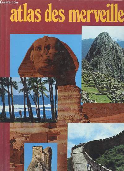
Gianfranco Benati
Atlas des merveilles
Fernand Nathan. 1979. In-4. Relié. Etat d'usage, Coins frottés, Dos satisfaisant, Intérieur frais. 60 pages. Nombreuses photographies en couleurs dans et hors texte dont frontispice Texte sur 3 colonnes. tampons sur la page de garde et le 2ème contre plat. . . . Classification Dewey : 912-Atlas, cartes et plans
Riferimento per il libraio : R160207753 ISBN : 2092900188
|
|
|
Giaimo, Cara,Foer, Joshua,Obscura, Atlas
Atlas Obscura: Wild Life: An Explorer's Guide to the World's Living Wonders
Workman Publishing Company 2024. Hardcover. A new copy.<br> <br> <p>From the bestselling authors of Atlas Obscura and Gastro Obscura comes a nature book like no other--a dazzling over-the-top collection of the world's most extraordinary wild species that takes you to all seven continents and beyond. It's more than a field guide-it's an adventure. National Bestseller Named a Best New Book by BookRiot New York Post and more Named a Best White Elephant Gift Under $30 by Taste of Home. <p/> From the curious minds of Atlas Obscura authors of #1 New York Times bestselling Atlas Obscura and Gastro Obscura comes an unputdownable celebration of the world's living wonders. </p> Learn how dung beetles navigate by the stars and trees communicate through their roots. Meet one of the strongest animals in the world: the puny peacock mantis shrimp. Pay your respects to a 44000 year old shrub float along flying rivers and explore a garbage dump overseen by endangered storks. Examine old examples of bird song notation written on sheet music. Also first person interviews: hear from a honey hunter and his avian partners a scientist working to find the world's only ocean-dwelling insects and an offshore radio DJ who is at the heart of the local fishing community. <p> Featuring over 500 extraordinary plants animals and natural phenomena with illustrations and photos on every page the book takes readers around the globe--from Antarctic deserts to lush jungles and into the deepest fathoms of the ocean and the hearts of our densest cities. Teeming with detail and wildly entertaining Wild Life reinvigorates our sense of wonder awe and amazement about the incredible creatures we share our planet with. </p> Workman Publishing Company hardcover
Riferimento per il libraio : 416877 ISBN : 1523514418 9781523514410

|
|
|
Giaimo, Cara; Foer, Joshua; Atlas Obscura
Atlas Obscura: Wild Life: An Explorer's Guide to the World's Living Wonders
Workman Publishing Company 2024-09-17. hardcover. New. 7x1x10. New Book Ships with Tracking Workman Publishing Company hardcover
Riferimento per il libraio : SKU1728234 ISBN : 1523514418 9781523514410
|
|
|
Giaimo, Cara; Foer, Joshua; Atlas Obscura
Atlas Obscura: Wild Life: An Explorer's Guide to the World's Living Wonders
Workman Publishing Company 2024-09-17. hardcover. New. 7x1x10. New Textbook Ships with Tracking Workman Publishing Company hardcover
Riferimento per il libraio : SKU1733645 ISBN : 1523514418 9781523514410
|
|
|
Giannuzzi-Savelli, Riccardo, Francesco Pusateri Alberto Palmeri a. o
Atlante delle conchiglie marine del mediterraneo - Atlas of Mediterranean seashells. Volume 7 (Bivalvia. Protobranchia - Pteriomorpha). Text in Italienisch und Englisch.
Roma, Edizioni Evolver, 2001. 246 Seiten. Mit zahlreichen farbigen Abbildungen. Originalpappband mit Original-Schutzumschlag. 28 cm
Riferimento per il libraio : 297016

|
|
|
Giannuzzi-Savelli, Riccardo, Francesco Pusateri Alberto Palmeri a. o
Atlante delle conchiglie marine del mediterraneo - Atlas of Mediterranean seashells. Volume 2 ( Caenogastropoda parte 1: Discopoda -Heteropoda). Text in Italienisch und Englisch. First edition.
Roma, Edizioni de la Conchiglia, 1997. 257 Seiten. Mit zahlreichen farbigen Abbildungen. Originalpappband mit Original-Schutzumschlag. 28 cm
Riferimento per il libraio : 297017

|
|
|
GIBRAT Père Jean-Baptiste.-
Traité de la Géographie Moderne.-
A l'usage des collèges et des pensions. Nouvelle édition augmentée des Cartes Géographiques sur les quatre Parties du Monde, & des principaux États de l'Europe. Toulouse. Joseph Dalles. 1776. In-12 (95 x 169mm) basane brune, dos à 5 nerfs orné, pièce de titre maroquin rouge, tranches marbrées, XVI, 352 pages, XXIV pages (table) et 2ff.n.ch. (approbations et privilèges). Bien complet des 18 cartes dépliantes, dont une planisphère, signées Faure. Petit manque sans perte de texte aux pages 99-100, coins lgt émoussés sinon bon exemplaire.
Riferimento per il libraio : ORD-4440
|
|
|
GIELEN, Denis;
Atlas de l'art contemporain a l'usage de tous
, Grand Hornu, Musee des Arts Contemporains, 2007, Relie, demi toile brune, 210 x 345mm., 403pp., color illustration troughout. ISBN 9782930368187.
Riferimento per il libraio : 20135
|
|
|
Giersberg, Hans- Joachim und Hartmut Knitter
Potsdam Stadtführer Atlas Text- Bild- Karte
Berlin, Leipzig, VEB Tourist Verlag, 1984. 237 Seiten , 20 cm, Pappeinband
Riferimento per il libraio : 43316

|
|
|
GIFFAULT / DELAUNE / DUMAS-VORZET
Carte de l'Asie Politique. N°44 bis.
HACHETTE & Cie. 1900. In-Plano. En feuillets. Très bon état, Couv. convenable, Dos satisfaisant, Intérieur frais. Carte couleurs en double-planches hors-texte, de 68/55 cm.. . . . Classification Dewey : 912-Atlas, cartes et plans
Riferimento per il libraio : RO20045392
|
|
|
GIFFAULT / AITOFF / DUFRENOY / DELAUNE.
Carte de l'Archipel Asiatique. N°55
HACHETTE & Cie. 1897. In-Plano. En feuillets. Très bon état, Couv. convenable, Dos satisfaisant, Intérieur frais. Carte couleurs, en double-planches hors-texte de 68/55 cm.. . . . Classification Dewey : 912-Atlas, cartes et plans
Riferimento per il libraio : RO20045393
|
|
|
GIFFAULT / AITOFF / DUFRENOY / DELAUNE.
Carte de l'Asie Physique. N°42
HACHETTE & Cie. 1899. In-Plano. En feuillets. Très bon état, Couv. convenable, Dos satisfaisant, Intérieur frais. Carte couleurs en double-planches hors-texte, de 68/55 cm, avec serpente.. . . . Classification Dewey : 912-Atlas, cartes et plans
Riferimento per il libraio : RO20045389
|
|
|
GILBERT Martin
Atlas de la Shoah
Éditions de l'aube La Tour-dAigues, Éditions de l'aube, 1992. Collection Regards croisés. In-4 broché de 265 pages. Cartes et photos en et hors-texte. Bon état
Riferimento per il libraio : 191250

|
|
|
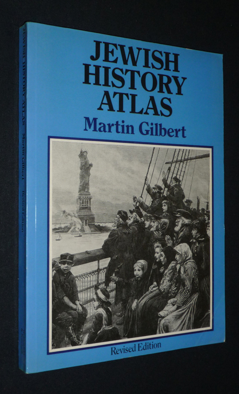
Gilbert Martin
Jewish History Atlas
Weidenfeld and Nicolson Broché 1976 In-8 (17,7 x 24,6 cm), broché, 121 pages, texte en anglais ; pliure au dos, deux coins cornés, quatrième plat et intérieur brunis, assez bon état général par ailleurs. Livraison a domicile (La Poste) ou en Mondial Relay sur simple demande.
Riferimento per il libraio : vh110
|
|
|
Gilles Roland, Damien Canteau, Nicolas Albert
La Carte Paris Des 100 Lieux Cultes De Films, Series, Musiques, Bd, Romans- les amants du pont neuf, catacombes, le fabuleux destin d'amelie poulain, les animaux fantastiques, gainsbourg vie heroique, james bond...
FANTRIPPERS. 2020. In-Plano. Broché. Bon état, Couv. convenable, Dos satisfaisant, Intérieur frais. Carte couleurs dépliante de 55 x 60 cm environ (carte au recto, texte au verso). Carte contrecollée à la couverture.. . . . Classification Dewey : 912-Atlas, cartes et plans
Riferimento per il libraio : RO40055237

|
|
|
Gillese, John Patrick
Country Gentleman Magazine - The Magazine for Better Farming, Better Living, August (Aug.) 1952 - How To Keep Livestock Disease Off Your Farm
88 pages. Features: Are you buying your feeders right?; Your greatest opportunity is grass; They save the seed; Wire floor for hens; Hot-weather dairyman; How to keep livestock disease off your farm; Cut cleanup time with new glass pipelines; We kill 'super' flies; Longer life for your steel bins and tanks; Asphalt film holds seedbeds in place. Ads include: Prince Albert tobacco ad with Carl Smith and James Franks; Buick; Oldsmobile Super '88'; Mrs. Frank W. Wilson of St. Paul, MN in Atlas Tire ad; Oliver two-row corn picker; Herbert Gruenhagen of Howard Lake, MN in USS Steel ad; Nice color Studebaker truck ad; Gates Tires ad features Forrest Churchill of Perks, IL and L.W. Hewitt of Spokane, WA; Champion spark plug ad features photos of Wm. O'Neill and Bernard A. Gillespie on Gillespie's 87,000 acre Arizona ranch; Ferguson tractors; Harley-Davidson 55 HP Hydra-Glide; Tide detergent; Chevrolet cars; Blue Bell work clothes; Great color 7up ad with young girl on beach. Average wear. Scribbling on back cover. A sound vintage copy. Magazine

|
|
|
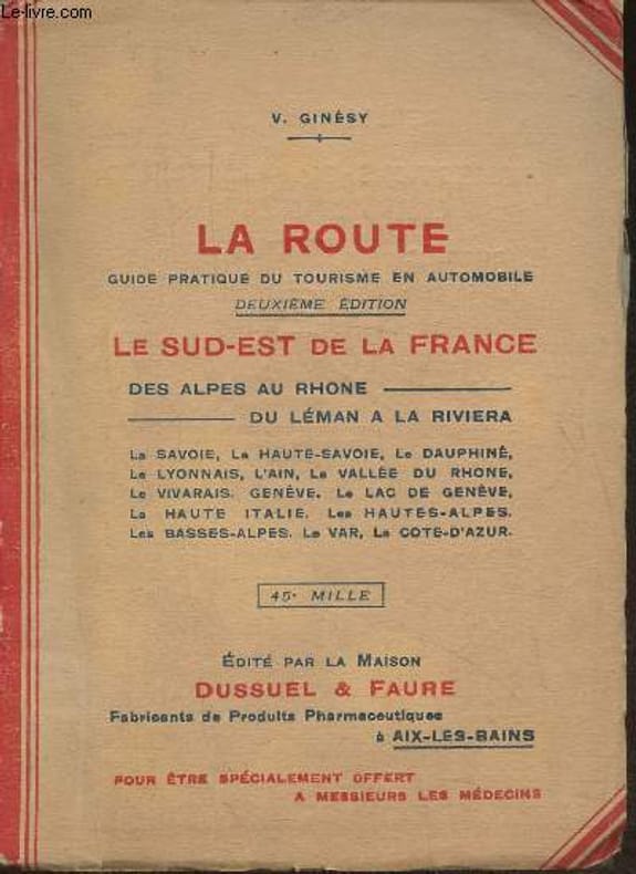
GINESY V.
LA ROUTE - LE SUD-EST DE LA FRANCE DES ALPES AU RHONE DU LEMAN A LA RIVIERA
DUSSUEL & FAURE - 2° EDITION - 45° MILLE. 1929. In-12. Broché. Bon état, Couv. convenable, Dos satisfaisant, Intérieur frais. 86 pages + 21 carte 25 x 33 cm en couleurs. . . . Classification Dewey : 912-Atlas, cartes et plans
Riferimento per il libraio : RO30044305
|
|
|
Ginésy V.
La route- guide pratique du tourisme en automobile- Le Sud-Est de la France des Alpes au Rhone, du Léman à la Riviera
Dussuel & Faure. 1929. In-12. Broché. Etat d'usage, Couv. défraîchie, Dos fané, Papier jauni. 86 pages. Accrocs au dos. Quelques rousseurs. Nombreux plans en couleurs.. . . . Classification Dewey : 912-Atlas, cartes et plans
Riferimento per il libraio : RO30370560
|
|
|
Ginsburg, Norton
Atlas of Economic Development. Foreword by Bert F. Hoselitz. Part VIII, a statistical analysis, by Brian J. L. Berry.
University of Chicago Press, Chicago 1961 (Department of Geography Research Paper, No. 68). 119 p. with numerous maps. Oblong 4to. Paperback. Some traces of use. Spine a bit damaged.
Riferimento per il libraio : 12631

|
|
|
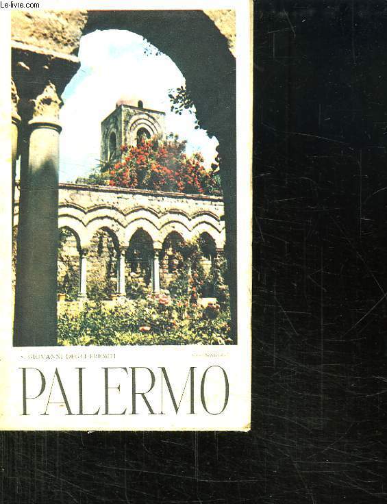
GIOVANNI DEGLI EREMITTI.
PALERMO. PLAN.
CHEZ L AUTEUR.. 1954. In-8. Broché. Bon état, Couv. légèrement passée, Dos satisfaisant, Intérieur acceptable. Dépliant de 47.5 cm / 33.5 cm.. . . . Classification Dewey : 912-Atlas, cartes et plans
Riferimento per il libraio : R150148049
|
|
|
GIOVANNI DEGLI EREMITTI.
PALERMO. PLAN.
CHEZ L AUTEUR.. 1954. In-8 Carré. Broché. Bon état. Couv. légèrement passée. Dos satisfaisant. Intérieur acceptable. Dépliant de 47.5 cm / 33.5 cm.

|
|
|
GIRARD E.
1 CARTE COULEUR DEPLIANTE - MAPPEMONDE - PARIS CENTRE / CARTE DU MONDE EN DEUX HEMISPHERES - RECTO VERSO - etablie avec Paris comme centre de la projection / DIMENSION 75 Cm X 60 Cm ENVIRON.
MAISON FOREST. 1930. In-Plano. En feuillets. Etat d'usage, Couv. convenable, Dos satisfaisant, Intérieur frais. 1 CARTE COULEURS RECTO VERSO DE DIMENSION 75 Cm X 60 Cm ENVIRON.. . . . Classification Dewey : 912-Atlas, cartes et plans
Riferimento per il libraio : R320051714
|
|
|
GIRARD PERREGAUX
Carte de la Suisse.
ART INSTITUT ORELL FUSSLI. Non daté. In-18. Broché. Bon état, Couv. convenable, Dos satisfaisant, Intérieur frais. Carte dépliante en couleurs, de 30/40 cm. Légendes en anglais.. . . . Classification Dewey : 912-Atlas, cartes et plans
Riferimento per il libraio : RO80040306
|
|
|
GIROUX / HACQ / ROUX / FLAHAUT
Carte de Dunkerque S.O et S.E.
OFFICIERS DE CORPS D'ETAT-MAJOR / DEPOT DE GUERRE. 1898. In-Plano. En feuillets. Bon état, Couv. convenable, Dos satisfaisant, Quelques rousseurs. Carte en planche dépliante en noir et blanc de 92/32cm. Pas de plats de couverture. Pliures.. . . A l'italienne. Classification Dewey : 912-Atlas, cartes et plans
Riferimento per il libraio : RO20040403
|
|
|
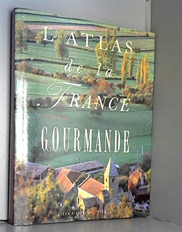
Girard-Lagorce Sylvie Buchan John Sellier Jean Meurville Elisabeth de
L'ATLAS DE LA FRANCE GOURMANDE
DE MONZA EDITEU 1990 220 pages 2x31x24cm. 1990. Broché. 220 pages.
Riferimento per il libraio : 500084113
|
|
|
GIUSTI M., GUIDI P.
LE DIOCESI D'ITALIA NEI SECOLI XIII-XIV, TUSCIA (1274-1304), SCALA 1/250,000
Giovanni de Agostini. Non daté. In-8 Carré. En feuillets. Bon état. Couv. convenable. Dos satisfaisant. Intérieur bon état. Carte en couleur d'env. 90/65 cm dépliée. Tampon et annotation. Studi e testi 58 e 98.

|
|
|
Glick, Eunice; MacGinnis, Bonnie Glick; Atlas, Nava; Garcia, Mindee Glick [Pseudonym]
Expect the Unexpected When You're Expecting
HarpPeren 1995-08-18. Paperback. New. In shrink wrap. Looks like an interesting title! HarpPeren paperback
Riferimento per il libraio : Q-0060951354 ISBN : 0060951354 9780060951351

|
|
|
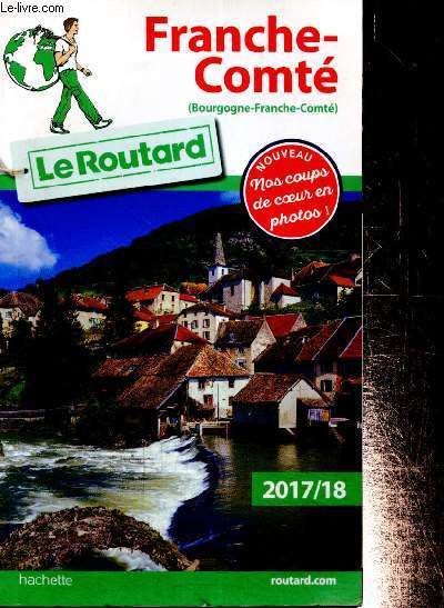
Gloaguen Philippe & Collectif
Le Routard : Franche-Comté (Bourgogne-France-Comté) 2017/18
Hachette. 2017. In-8. Broché. Bon état, Couv. convenable, Dos satisfaisant, Intérieur frais. 383 pages. Nombreuses cartes et photos en couleurs dans et hors texte. Etiquette de prix au dos.. . . . Classification Dewey : 912-Atlas, cartes et plans
Riferimento per il libraio : RO80238662 ISBN : 2012799418
|
|
|
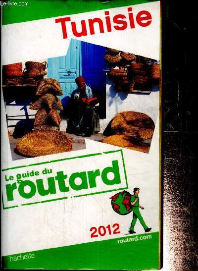
Gloaguen Philippe & Collectif
Le Guide du Routard : Tunisie, 2012
Hachette. 2012. In-12. Broché. Bon état, Couv. défraîchie, Dos satisfaisant, Quelques rousseurs. 439 pages. Nombreuses cartes monochromes et en couleurs dans et hors texte.. . . . Classification Dewey : 912-Atlas, cartes et plans
Riferimento per il libraio : RO80238663 ISBN : 2012451195
|
|
|
Gohrbandt, Emil Curt Hudalbert (Herausgeber)
Heimatatlas für Pommern. Hrsg. im Auftrag und unter Mitarbeit des Pommerschen Lehrervereins von E. Gohrbandt und K. Reinke. Reprint der Original-Ausgabe: Leipzig, List und von Bressensdorf, [1928]
Augsburg : Weltbild, 2010. 84 Seiten. Mit zahlreichen farbigen Abbildungen. 32 cm. MIT der oft fehlenden KARTEN-BEILAGE Originalleinen mit Original-Schutzumschlag.
Riferimento per il libraio : 256517

|
|
|
Gontier Josette Proctor Alice Raimbert Florence
Notre planète et ses merveilles
CARTOTHEQUE EGG 2009 21 2x1x28 4cm. 2009. Broché.
Riferimento per il libraio : 500115816

|
|
|
Gontier Josette Proctor Alice Raimbert Florence
Notre planète et ses merveilles
CARTOTHEQUE EGG 2009 21 2x1x28 4cm. 2009. Broché.
Riferimento per il libraio : 500116319

|
|
|
Gontier Josette Proctor Alice Raimbert Florence
Notre planète et ses merveilles
CARTOTHEQUE EGG 2009 21 2x1x28 4cm. 2009. Broché.
Riferimento per il libraio : 500120636

|
|
|
GONZALEZ SUAREZ, Federico
Historia general de la Republica del Ecuador, Tiempos antiguos o el Ecuador antes de la conquista, segunda parte, Atlas arqueologico
In-8°, pp. XIII, 210, con 44 tavole fuori testo, legatura in pelle con tasselli e titolo al dorso, buono stato di conservazione. Complemento del Primo tomo della Storia generale dell’Ecuador: pubblicata in sette volumi, questo sarebbe l’atlante (di fatto l’ottavo). Libro molto dettagliato sulla storia archeologica del paese sudamericano. In-8°, pp. XIII, 210, with 44 plates, leather binding with title at the back, good state. Adjunct of the First tome of Ecuador General History which was published in seven volumes, this is the Atlas (as such the eight volume). A very detailed book about the archaeologic history of the Southamerican country
|
|
|
Goossens, J., J. Taeldeman en G. Verleyen.
Fonologische atlas van de Nederlandse dialecten - Deel I: Het korte vocalisme
, Gent, Secretariaat van de Koninklijke Academie voor Nederlandse Taal- en Letterkunde, 1998., Originele uitgeversomslag, 16x24cm.
Riferimento per il libraio : 11164
|
|
|
Goossens, J., J. Taeldeman en G. Verleyen.
Fonologische atlas van de Nederlandse dialecten - Delen II + III (in een aflevering): Deel II: De Westgermaanse korte vocalen in open syllaben; Deel III :De Westgermaanse lange vocalen en diftongen.
, Gent, Secretariaat van de Koninklijke Academie voor Nederlandse Taal- en Letterkunde, 2000., , originele uitgeversomslag, 16x24cm. ISBN 9789072474360.
Riferimento per il libraio : 11165
|
|
|
GOOS, Pieter.
LE GRAND & NOUVEAU MIROIR OU FLAMBEAU, DE LA MER contenant la description de toutes les costes Marines Occidentalles & Septentrionnalles… Traduict de Flaman en François par Paul Yvounet.
[Amsterdam], Pieter Goos, 1669. Folio engr. title, [40], 224 pp. (i.e. 124, erroneous pagination 217-224 instead of 117-124), 33 coloured maps on double-page, contemporary pigskin, gilt decorated boards, gilt orn. spine with raised bands and red label, 2 green ties. 452 x 284 mm. VERY RARE THIRD FRENCH EDITION (unknown to Koeman and Phillips) of this fine maritime atlas. Complete copy opening on a richly illustrated engraved frontispiece (the same as in the earlier Dutch editions from 1650 onwards) with the title printed on a pasted slip and containing 33 hand-colored engraved sea charts on double-pages. As in the first French edition of 1662, ours consists of an introduction on navigation illustrated with 35 woodcut diagrams and 2 volvelles with movable parts, and 4 chapters with numerous woodcut coastal profiles and 3 plans in the text next to 33 large copper-engraved naval charts figuring the coasts of Europe (with a part of Africa and Greenland), Holland, Flanders, England, Ireland, France, Galicia, Portugal, Gibraltar, Barbaria, Madeira, the Canary Islands and Cabo Verde. All the maps (2 dated 1666) with irregular numbering but corresponding to the index. Pieter Goos (1616-1675) copied his « Lichtende Columne ofte Zee-Spiegel » after Theunis Jacobsz atlas of 1644. Each edition with French text is only known by 1 copy. La composition de l'édition française diffère totalement de celles publiées en anglais ou hollandais. Elle comprend des cartes de Grande-Bretagne, des Pays-Bas, de Belgique, de France, d'Espagne, du Portugal et des côtes du Maroc avec les Canaries. Le texte indique les itinéraires maritimes à suivre et les dangers à éviter. Le cartographe Pieter Goos (1615-1675) était l'un des libraires les plus estimés d'Amsterdam qui s'était spécialisé dans les ouvrages maritimes. Jouissant d'une bonne réputation de graveur de cartes de navigation, il publiait également des atlas. Son intention était davantage de produire des volumes somptueux destinés à de riches collectionneurs plutôt que des ouvrages fonctionnels pour les marins et navigateurs. « Pieter Goos was one of the best known maritime booksellers of Amsterdam. This beautiful sea atlas reflects a high professional standard. The many editions published over 25 years are an indication of the customers ' appreciation. Goos 's sea atlas was more intended for the book-lover than for the seaman » (Koeman). "Dutch cartographer Pieter Goos (c. 1616-1675) was one of the most prominent engravers of navigational maps during the 17th century. His maps are considered some of the most beautiful of the era, a time when the Dutch dominated both shipping and cartography" (Moreland, C. & Bannister, D., 1986). L’illustration se compose d’un titre-frontispice et de 33 cartes finement gravées sur double-page représentant les côtes de toutes les parties du globe. Le frontispice, le contour des cartes et les cartouches ont été coloriés à la main à l’époque. TRES BEL EXEMPLAIRE COMPLET DE SES 33 CARTES GRAVEES SUR DOUBLE PAGE ET DE SON TITRE FRONTISPICE EN COLORIS D’EPOQUE, CONSERVE DANS SA RELIURE EN VELIN DU TEMPS.
Riferimento per il libraio : YTB-49

|
|
|
Goodall, George / Treharne, R.F.
Muir's new school atlas of universal history.
London, George Philip and son limited, 1953 Bound, green boards, VIIIpp., 56 col. maps, 33-56pp., 22.5x28cm., good cond.
Riferimento per il libraio : 29419
|
|
|
GORDON Pat
Geography Anatomiz'd; or, the Geographical Grammar. Being a Short and Exact Analysis of the whole Body of Modern Geography, After a New and Curious Method . The ninth edition , corrected and somewhat enlarg'd . And a set of new maps by Mr Senex
London , Knaplock . , 1722 , in12 1/2 toile bordeaux , 416pp , 16 cartes dépliantes hors texte Reliure récente. Manque une partie de la carte Asie . Premières pages légèrement défraichies.
Riferimento per il libraio : M12370
|
|
|
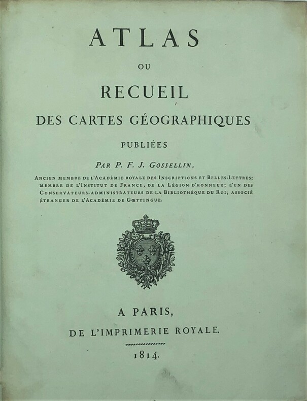
Gosselin, Pierre-François-Joseph.
Atlas ou recueil de cartes géographiques.
Atlas ou recueil de cartes géographiques. Ancien membre de l’académie royale des inscriptions et belles-lettres;membre de l’institut de France , de la légion d’honneur; l’un des conservateurs-administrateurs de la bibliothéque du Roi; associé étranger de l’académie de Goettingue. Paris, Imprimerie Royale, 1814. Grand in-4 (285x230), relié demi cuir, dos lisse avec pièce de titre et auteur , titre, 3 ff non chiffrés (table), 47 ff . Ouvrage illustré de 75 cartes en 47 feuilles, la grande majorité étant dépliantes. Recueil de cartes antiques (Eratosthène, Strabon, Hipparque, Polybe etc...) en latin et en français pour la compréhension de la géographie des anciens. Imprimé sur papier fort , en bon état , couverture avec un plat détaché, mouillures sans atteintes aux cartes P1-2i
Riferimento per il libraio : PHO-542
|
|
|
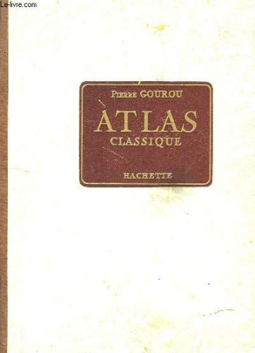
GOUROU Pierre
ATLAS CLASSIQUE
HACHETTE. 1956. In-12. Broché. Etat d'usage, Couv. légèrement passée, Dos satisfaisant, Intérieur frais. 112 pages illustrées de cartes en couleurs. Traces de mouillures sur les plats de couverture.. . . . Classification Dewey : 912-Atlas, cartes et plans
Riferimento per il libraio : RO70059193
|
|
|
GOUROU PIERRE
ATLAS
Hachette. 1972. In-8. Relié. Bon état, Couv. convenable, Dos satisfaisant, Intérieur frais. 223 pages. Illustré de nombreuses cartes en couleur. Index à part (solidaire du 2e plat).. . . . Classification Dewey : 912-Atlas, cartes et plans
Riferimento per il libraio : RO40198971
|
|
|
GOUROU Pierre
Atlas Classique.
HACHETTE. 1960. In-4. Cartonné. Etat passable, Couv. défraîchie, Dos satisfaisant, Intérieur acceptable. 112 planches + 22 pages. Cartes en couleurs, hors-texte. Mors fendus en coiffes. Coins et tranches des plats frottés. Traces de cire sur les 10 premières planches. Quelques notes au feutre. Accompagné d'une carte de 91 / 96 cm, en couleurs.. . . . Classification Dewey : 912-Atlas, cartes et plans
Riferimento per il libraio : RO80081966
|
|

 Ricevere i risultati per e-mail
 Scaricare i risultati in PDF
 RSS feed
 Link
Link


