|
A Relation in Form of Journal, of the Voiage And Residence Which The most Excellent and most MightyPrince Charls the II, King of Great Britain &c. Hath made in Holland, from the 25 of May, to the 2 of June, 1660. Rendered into English out of the Original French by William Lower.
Hague, Adrian Vlack, 1660. Folio (37 x 24 cm). Mit gest. Titelvignette, Kopfvignette 2 Bl., 116 S. Ldr. d. Zeit auf 6 Bünden m. Deckelornamenten in Blind- u. Goldpräg. u. Resten eine RSchildes.
Riferimento per il libraio : 20198

|
|
|
A Short Description of the County of Warwick and Isolated Parishes of Adjoining Counties with their Sub-Divisions.
Leamington: J Beck 1883. Full-Leather. Good/No Jacket as published. 5.5" X 8.5. Details of courts magistrates bridges rates etc in the county of Warwickshire England. 97 pages in vellum covered hard cover binding. Some wear externally particularly over the hinges light foxing to the ends papers which have split over the hinges. The text block is soundly bound and there are a few annotations in the text but this does not impact on the readability. All orders processed promptly and shipped from the UK. Non-UK customers please only select the fast / expedited shipping service at checkout <br/> <br/> J Beck hardcover
Riferimento per il libraio : 028737
|
|
|
A TRAVERS le Monde. Aux pays inconnus. A travers la nature. Conseils aux voyageurs... Nouvelle Série. 11 Année.
Paris, Hachette et Cie., 1905, 31,5 x 23 cm., holandesa piel de época, 422 págs. con grabados intercalados. (Contiene un artículo titulado "Madrid intime" con varios grabados, y otro con título "Chez les Gitanos").
|
|
|
A travers les pays allemands (photographies originales)
(Vers 1900). Fort in-folio (33 x 28 x 6 cm), feuillets montés sur onglets, reliure demi-maroquin, dos orné (dos passé, coiffe inférieure un peu frottée).
Riferimento per il libraio : 12625

|
|
|
Abbé***. Histoires édifiantes & curieuses, tirées des meilleurs auteurs
avec des réflexions morales sur les différents sujets, par l' Abbé B** ( Barthélemy Baudrand ) Barthélemy Baudrand, né à Névache le 18 septembre 1701 et mort à Lyon le 3 juillet 1787 est un prêtre jésuite français, et écrivain spirituel de renom. Il est l’auteur de nombreux ouvrages ascétiques, dont la plupart furent publiés de manière anonyme. vol in_12, relié pleine basane époque, 18x10, frottements et accros à la coiffe, solidement relié, bien frais, 360 pages. A Rouen, chez Mégard, 1807 ref/24/2
Riferimento per il libraio : CZC-11478

|
|
|
Abbé***. Histoires édifiantes & curieuses, tirées des meilleurs auteurs
avec des réflexions morales sur les différents sujets, par l' Abbé B** ( Barthélemy Baudrand ) Barthélemy Baudrand, né à Névache le 18 septembre 1701 et mort à Lyon le 3 juillet 1787 est un prêtre jésuite français, et écrivain spirituel de renom. Il est l’auteur de nombreux ouvrages ascétiques, dont la plupart furent publiés de manière anonyme. vol in_12, relié pleine basane époque, 18x10, frottements et accros à la coiffe, solidement relié, bien frais, 360 pages. A Rouen, chez Mégard, 1807 ref/24/2
Riferimento per il libraio : CZC-11478
|
|
|
ABITARE ANNUAL 7. (SPAIN-SWEDEN-GERMANY-FRANCE).
Fotografias a color.
|
|
|
ACTAS Y TRABAJOS CIENTIFICOS des XXV. congreso internacional de Americanistas (La Plata, 1932). Tomo II: Arqueología. Lingüística. Historia. Varios.
Buenos Aires, Coni, 1934. 4to. 350 S. m. zahlr. Abb. im Text u. auf Tafeln. (Universidad Nacional de La Plata). OBr. (Etikett a. Umschl., Kapitale m. Einrissen, Stempel auf Titel, unbeschnitten).
Riferimento per il libraio : 1316996
|
|
|
Actes du deuxième congrès international d'étude des cultures de la Méditerranée occidentale. I et II.
Alger, SNED, 1976-1978. Deux volumes in-8 br., 195 + XXVI-590 pp. Contributions en français et en anglais
Riferimento per il libraio : 595201
|
|
|
AGULLANA - Madrid 1950 - Mapa
Madrid, Dirección General del Instituto Geográfico y Catastral, 1950. 2ª edición. Mapa publicado por sectores (sector 220). Escala 1:50.000. 56x76 cms. Mapa entelado y plegado. Buen ejemplar.
|
|
|
AKI ARAGON GUIAS. EXCURSIONES/ROUTES.
|
|
|
Al-Noor : The Boston College Undergraduate Middle Eastern and Islamic Studies Journal, vol. 2, no. 2, 2009
63p. Magazine Very good condition Partial contents: Imperial Ego, the Suleymaniye Kulliye by Sandra Williams; The Manipulation of the State, an Examination of Clan Politics in Uzbekistan by Priya Selvam; The Hezbollah-Israeli War of 2006 by Stephanie Wade' Symbols of Jordan Identity, a photo essay by Isaiah Z. Sterrett; The Master of Disguise, the Mythologizing of Saladin by Will Plowright; Middle East Youth and the Death of Arab Governments by Lydia Khalil.
|
|
|
Albula-Bahn. Souvenir-Albums N° 28.
Kilchberg, Edition Illustrato, Wehrli, ca. 1910, kl. in-8vo, 28 photogr. Abb. auf 14 Blatt, brochure originale illustrée. / Ill. O.-Brochüre.
Riferimento per il libraio : 138326aaf

|
|
|
Album - Evènement. Prime du journal L'Evènement. 300 dessins. En voyage.
Paris, sans date, 30 X 40 cm., relié, 149 pp. Recueil de gravures à pleine page ou à double page de BOCOURT, COUVERCHEL, DECAMPS, Auguste DEROY, Jean-Baptiste DURAND -BRAGER, GODEFROY-DURAND, Gustave DORE, Gustave JANET, Frédéric LIX, MARCELIN, Henri de MONTAUT, E. MORIN, Edouard RIOU, ROUARGUE, Emile THEROND, THORIGNY, Charles YRIARTE. Contient des paysages, portraits, compositions humoristiques, etc... Demi-chagrin, dos à nerfs, et plats en percaline. Coiffes et coins légèrement émoussés, traces sur les plats. Intérieur frais.
Riferimento per il libraio : 1502
|
|
|
Album de 246 photographies originales prises en Bretagne et à Paris. 1923-1925. [BRETAGNE – TOURISME - VIE BOURGEOISE - ANNÉES 1920]
Format oblong : 31 x 24,5 cm. Album aux couvertures en carton souple gris marbré, dos relié par une cordelette. 48 Pages. Bel et attachant album d'un couple de jeunes mariés constitué de 246 photographies argentiques originales, légendées à l'encre de la main du ou de la photographe, documentant les séjours en Bretagne de leur famille bourgeoise entre 1923 et 1925.Les clichés couvrent notamment : Rochebourne/Paramé (Saint-Malo) en août 1923, avec de saisissantes vues de tempête à marée haute et des portraits balnéaires de femmes en maillot ; le Mont-Saint-Michel et ses abords (cloître, remparts, vues panoramiques) ; Saint-Servan vu de la Vicomté (Dinard) ; Plougasnou ; Saint-Jean-du-Doigt ; ainsi que des lieux notés « Le Mini-Bic » et « Le Hé-Ben ». Quelques pages illustrent un séjour à Paris (jardins publics, architecture haussmannienne), sans légende explicite. L'album comprend également une série de photographies d'intérieur de bureaux (d'un commerce ou d'une entreprise en 1925), dont l'identification précise reste inconnue. Les images, de bonne qualité technique, alternent paysages côtiers animés, portraits de vacancières, scènes rurales bretonnes et vues architecturales. De nombreux portraits, de l'épouse notamment, dénotent un esthétisme léché. Au-delà d'un témoignage sur les loisirs et pratiques touristiques de la bonne société dans l'entre-deux-guerres, cet ensemble manifeste une réelle maîtrise de l'art et de la composition photographiques.
Riferimento per il libraio : 2875

|
|
|
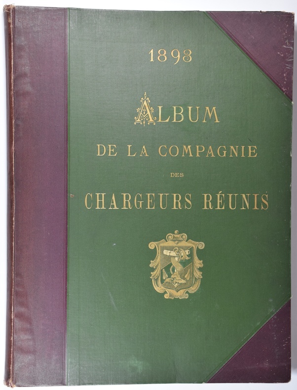
Album de la Compagnie des Chargeurs Réunis.1893.
Paris, Havre, Bordeaux, Cie Française de Navigation à Vapeur, 1893. In-folio (397 x 297 mm), (1) f. blanc, (2) ff. titre, album d'environ 80 feuillets alternant 17 planches photos de paquebots (protégées par une serpente) et reproductions de gravures et de documents touristiques divers issus de revues d'époque, 1 planche représentant le siège de la société, 5 planches de publicités des réseaux de Chemins de Fer ainsi que 2 planches en couleurs de publicité pour la distillerie Cusenier, reliure demi-toile à coins, titre doré sur premier plat, dos lisse, 3 coins ouverts, début de fentes aux mors, coiffes détériorées, bel exemplaire.
Riferimento per il libraio : 4587
|
|
|
Album de voyages orné de 64 gravures.
Limoges et Paris, Martial Ardant frères, 1857. Fort in-4, 208 pp., cartonnage romantique historié polychrome (mors frottés, petits manques à la coiffe inférieure, cahiers déboîtés).
Riferimento per il libraio : 10044
|
|
|
Album national. France Algérie, colonies.
Paris L.Boulanger,éditeur. sans date 3 volumes IN4 oblong. Reliure demi basane cerise. Dos lisse orné. 1 volume de texte et 2 volumes de planches.
Riferimento per il libraio : 102031
|
|
|
ALBUM PHOTOGRAPHIES ANCIENNES 1907/1910 inondations de Paris / Militaria / Automobiles / Bourgeoises ..
ALBUM PHOTO DE FAMILLE DIVERS: ALBUM PHOTO EN ETAT TRES CORRECT , complet 48 PHOTOS , contenant de nombreuses photos format 5.5x8 . Issu d'une famille bourgeoise , les personnages en tenues d'époque,quelques paysages LORRAINS, des soldats LEGIONNAIRES en manœuvre , 2 VUES d'automobile ( MATHIS ou CLEMENT BAYARD ) 5 photos d'inondation de PARIS .... 1907/1910
Riferimento per il libraio : CZC-1994

|
|
|
ALBUM PHOTOGRAPHIES ANCIENNES 1907/1910 inondations de Paris / Militaria / Automobiles / Bourgeoises ..
ALBUM PHOTO DE FAMILLE DIVERS: ALBUM PHOTO EN ETAT TRES CORRECT , complet 48 PHOTOS , contenant de nombreuses photos format 5.5x8 . Issu d'une famille bourgeoise , les personnages en tenues d'époque,quelques paysages LORRAINS, des soldats LEGIONNAIRES en manœuvre , 2 VUES d'automobile ( MATHIS ou CLEMENT BAYARD ) 5 photos d'inondation de PARIS .... 1907/1910
Riferimento per il libraio : CZC-1994
|
|
|
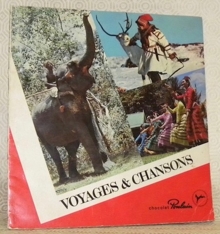
Album Poulain. Voyages & chansons, n.° 11.
Blois, Chocolat Poulain - Imprimerie Mourlot sans date, vers 1975, 255x235mm, 23pages, complet des vignettes en couleurs. Broché.
Riferimento per il libraio : 80819
|
|
|
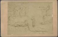
Albumen Photo of an 1885 Political Cartoon Opposing Central American Unification
Good. Scarce political cartoon albumen photo of a drawing on a cabinet card mount condemning the short-lived 1885 attempt at reuniting the five Central American republics led by Guatemalan General Justo Rufino Barrios. Guatemala and Honduras supported the effort while Nicaragua El Salvador and Costa Rica opposed it as did Mexico. Barrios was considered dictatorial and overly ambitious by his opponents and is depicted here as a rather skinny lion with Mexico holding its tail and identified as the "American Nero." Several of his "victims" are depicted as skulls underneath the lion. Costa Rica Nicaragua and El Salvador are personified as beautiful women under a banner reading "Unidas no nos come el 'Minotauro'" -- "United we will not be eaten by the Minotaur." Britannica says "Barrios became Guatemalan army commander and the power behind the president Miguel GarcÃa Granados in 1871 when the Conservative Party government was overthrown. After replacing GarcÃa Granados in 1873 Barrios carried out sweeping reforms based on his liberal philosophies. His presidency became known as “the Reform.†He subjugated the local aristocracy; expelled the Jesuits and confiscated church property; established civil marriage and divorce; enlarged and laicized the school system; built highways railroads and telegraph lines; encouraged the growing of coffee as the basis of the country’s agriculture; and promulgated a new constitution 1876. about unification by force but he was killed in battle while invading neighbouring El Salvador. He intervened repeatedly in the affairs of the other Central American republics in an effort to restore the five-nation federation that had collapsed in 1838. When political persuasion failed he attempted to bring about unification by force but he was killed in battle while invading neighbouring El Salvador." Mount measures 4.25 x 6.25 inches contrast is light. PLEASE NOTE -- our first two images are an accurate representation of the image. The third image has enhanced contrast to aid in viewing the cartoon. unknown
Riferimento per il libraio : 24256
|
|
|
Algérie - Tunisie - Carte routière touristique SHELL
ALGERIE au 1/900 000° - TUNISIE au 1/750 000°
Riferimento per il libraio : 4915
|
|
|
All England's Sunshine Record: Sandown Isle of Wight.
Sandown, 1950. original soft cover, 8vo, 83 p., edges torn, cover worn, apart from that good copy
Riferimento per il libraio : MC6-679

|
|
|
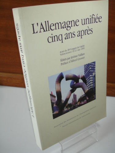
Allemagne Unifiee : Cinq Ans Apres - Collectif
Jérôme Vaillant, né en 1945, est un enseignant-chercheur. Il est professeur de civilisation allemande contemporaine . Il dirige également, depuis 1977, la revue Allemagne d'aujourd'hui, revue d'information et de recherche sur l'Allemagne, éditée à Paris. Il est membre du Centre d'Etudes en Civilisations, Langues et Littératures étrangères (CECILLE) de l'Université de Lille 3, au sein duquel il dirige l'axe "Pouvoir central et pouvoirs périphériques Il est membre du bureau du Comité franco-allemand des historiens. Il est spécialisé dans l'histoire de l'Allemagne d'après 1945, la politique culturelle de la France en Allemagne occupée, l'Allemagne de la division à l'unification, la politique étrangère de l'Allemagne unifiée, sa place en Europe et dans le monde, les relations franco-allemandes.
Riferimento per il libraio : CZC-1676
|
|
|
Allemagne Unifiee : Cinq Ans Apres - Collectif
Jérôme Vaillant, né en 1945, est un enseignant-chercheur. Il est professeur de civilisation allemande contemporaine . Il dirige également, depuis 1977, la revue Allemagne d'aujourd'hui, revue d'information et de recherche sur l'Allemagne, éditée à Paris. Il est membre du Centre d'Etudes en Civilisations, Langues et Littératures étrangères (CECILLE) de l'Université de Lille 3, au sein duquel il dirige l'axe "Pouvoir central et pouvoirs périphériques Il est membre du bureau du Comité franco-allemand des historiens. Il est spécialisé dans l'histoire de l'Allemagne d'après 1945, la politique culturelle de la France en Allemagne occupée, l'Allemagne de la division à l'unification, la politique étrangère de l'Allemagne unifiée, sa place en Europe et dans le monde, les relations franco-allemandes.
Riferimento per il libraio : CZC-1676
|
|
|
Almanach de St-Pétersbourg. (Saint-Pétersbourg). Cour, Monde et Ville
1913 Saint-Pétersbourg, Mellier & Cie, A. Zinserling & Cie, Leipzig, H. A. Ludwig Degener, 1913, XXXIV pp. de publicité (réparties de moitié au début et à la fin de l'ouvrage, 676 pp., reliure de l'éditeur de pleine toile verte imprimée or sur le 1er plat, pièce de titre de chagrin rouge au dos, tranches rouges, nombreuses page publicitaires imprimées sur papier glacé en noir et en couleurs intercallées dans l'ouvrage, peu courant, bon exemplaire.
Riferimento per il libraio : 20526

|
|
|
Almanach des missions sous le patronage de l'uvre de la propagation de la foi
Lyon Delhomme et Briguet,éditeurs. 1893 1 volume In4 broché. Couverture illustrée en couleurs. 4 planches H.T en couleurs et de nombreuses illustrations en noir.
Riferimento per il libraio : 120671
|
|
|
ALPES DE FRANCE. Renseignements Généraux - c. 1950
Edit. Mon. Travaux Publics, s/f. 8º. Rústica ilustrada. Muy buen ejemplar. En français.
|
|
|
ALREDEDOR DEL MUNDO AÑO XXIV- NUMEROS 1202 A 1233, JULIO 1922 A FEBRERO DE 1923.
|
|
|
ALTO VALLE DEL ÉSERA I. LA MALADETA - Granollers 1957 - Mapa
Granollers, Edit. Alpina, 1957. Mapa topográfico excursionista. Ascensiones y escaladas. Escala 1: 25.000. Entelado. Muy buen ejemplar.
|
|
|
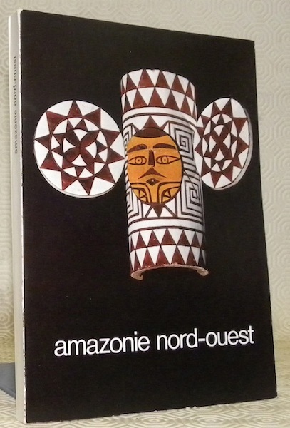
Amazonie nord-ouest. Musée d'ethnographie de Neuchâtel, du 8 juin au 31 décembre 1975.
Neuchatel, 1975, 210x150mm, 99pages, broché. Bel exemplaire.
Riferimento per il libraio : 76788
|
|
|
AMAZÔNIA: O olhar sem fronteiras. Fundaçao Nacional de Arte-Funarte. Fotonorte II.
Rio de Janeiro, Funarte 1998, 210x155mm, 496páginas, livro brochado. Livro em boas condiçoes.
Riferimento per il libraio : 65163

|
|
|
AMERIKA IM JAHRE 1831. Hrsg. v. C. N. Röding. Bd 1 (von 2).
Hamburg, Hoffmann u. Campe, (1831). 7, 480 S. Späterer Ppbd (gebräunt, unaufgeschnitten, einige Lagen stark gebräunt).
Riferimento per il libraio : 1182336
|
|
|
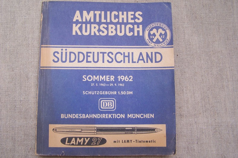
AMTLICHES KURSBUCH Süddeutschland SOMMER 1962 27.5.1962-29.9.1962.
Livret 20x23 cm., 768 pages, broché.
Riferimento per il libraio : CF457
|
|
|
An album of photographic studies of roads to the Isles
VG pbk. Oblong format. No publication date. 19593, eng
|
|
|
An Encyclopaedia of North and South America 1786
Softcover. Reprinted by photolitho from the original edition of 1786. Introduction by G.R. Crone, formerly Librarian and Map Curator of the Royal Geographical Society. Noticeable light staining along leading edge of back cover. Covers are generally grubby. Light creasing across lower leading corners of front and back covers. Leading corners quite worn. Spine ends a little worn. Spine sunned. Page block quite grubby. Small creases across lower leading corners of first two or three pages. Contents sound. AF Used
|
|
|
An Historical Narrative of the Shipwreck and Captivity of Mr. De Brisson an Officer Belonging to the Administration of the French Colonies with a Description of the Deserts of Africa from Senegal to Morocco Translated from the French
Perth Western Australia: R. Morrison. Very Good-. 1789. Hardcover. Bound in full leather. Rubbed on the edges hinges separating at the spine ends. Still tight & firm but age is taking a toll on the binding. Owner's name inside the front cover. Top 1/4" of the title page trimmed. ; 16mo 6" - 7" tall; 228 pages . R. Morrison hardcover
Riferimento per il libraio : 14342
|
|
|
Anciens vitraux de FlêtreparM. F. Van Costenoble, curé
Imprimerie L. Danel, Lille, 1882. In-4, plaquette 4 pp.
Riferimento per il libraio : 7962
|
|
|
Andalucia
Focusing on Andalucia, this is one of a series of guides to popular regions of Europe. Information is presented in magazine style, with self - contained spread layouts, panels and boxes throughout. The book also includes a gazetteer, an atlas section, practical information, motoring tours and walks.
|
|
|
ANDAR POR EL VALLE DE RONCAL - Madrid 1990 - Ilustrado
Madrid, Edit. Penthalon, 1990. Fotografías en color.177p. 8º. Rústica editorial ilustrada. Muy buen ejemplar.
|
|
|
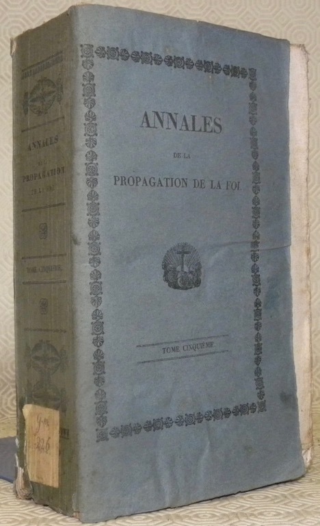
Annales de l’Association de la Propagation de la Foi, recueil périodique des lettres des évêques et des missionnaires des missions des deux mondes, et de tous les documens relatifs aux missions et à l’Association de la Propagation de la Foi. Collection faisant suite à toutes les éditions des Lettres Edifiantes. Tome cinquième.
Paris - Lyon, Librairie Eccléiastique de Rusand 1831, 220x135mm, 734pages, broché, couverture d’origine, non rogné.
Riferimento per il libraio : 78216
|
|
|
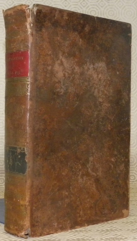
Annales de l’Association de la Propagation de la Foi, recueil périodique des lettres des évêques et des missionnaires des missions des deux mondes, et de tous les documens relatifs aux missions et à l’Association de la Propagation de la Foi. Collection faisant suite à toutes les éditions des Lettres Edifiantes. Tome sixième.
Paris - Lyon, Librairie Eccléiastique de Rusand 1833, 210x130mm, 638pages, relié demi-basane, titre, tomaisons et guirlandes dorés, cuir par endroits frottés, cachet de bibliothèque.
Riferimento per il libraio : 78217
|
|
|
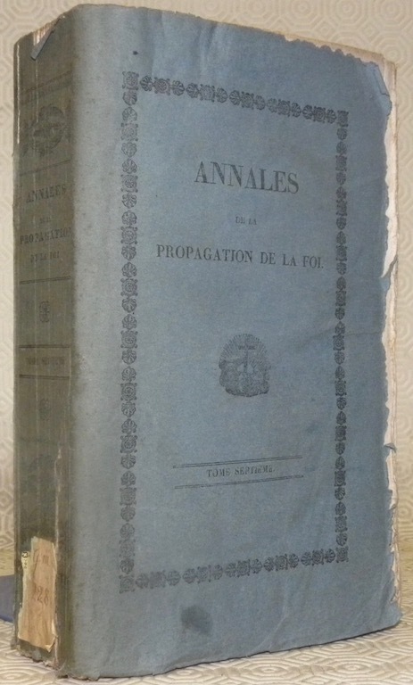
Annales de l’Association de la Propagation de la Foi, recueil périodique des lettres des évêques et des missionnaires des missions des deux mondes, et de tous les documens relatifs aux missions et à l’Association de la Propagation de la Foi. Collection faisant suite à toutes les éditions des Lettres Edifiantes. Tome septième.
Paris - Lyon, Librairie Eccléiastique de Rusand 1834, 220x135mm, 688pages, broché, couverture d’origine, non rogné.
Riferimento per il libraio : 78218
|
|
|
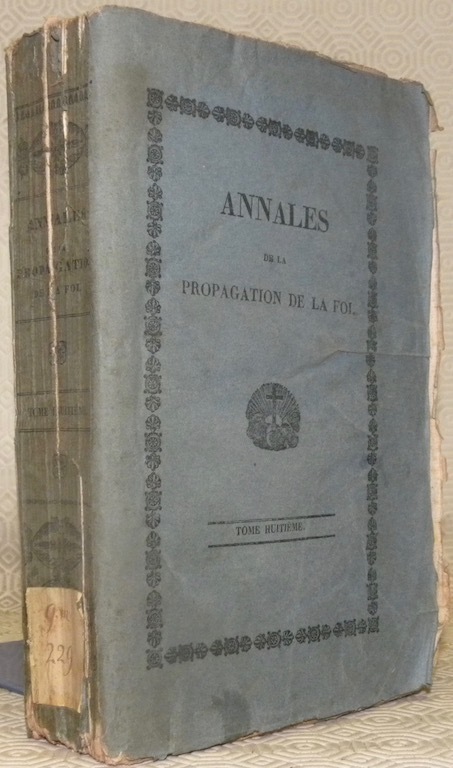
Annales de l’Association de la Propagation de la Foi, recueil périodique des lettres des évêques et des missionnaires des missions des deux mondes, et de tous les documens relatifs aux missions et à l’Association de la Propagation de la Foi. Collection faisant suite à toutes les éditions des Lettres Edifiantes. Tome huitième.
Paris - Lyon, Librairie Eccléiastique de Rusand 1835, 220x135mm, 600pages, broché, couverture d’origine, non rogné.
Riferimento per il libraio : 78219
|
|
|
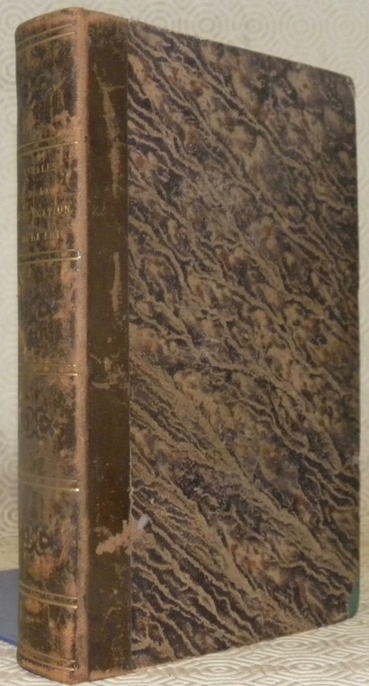
Annales de l’Association de la Propagation de la Foi, recueil périodique des lettres des évêques et des missionnaires des missions des deux mondes, et de tous les documens relatifs aux missions et à l’Association de la Propagation de la Foi. Collection faisant suite à toutes les éditions des Lettres Edifiantes. Tome onzième.
Paris - Lyon, Librairie Eccléiastique de Rusand 1838, 210x130mm, 672pages, reliure demi-basane. relié à la Suite “Notice sur la vie et la mort de J.-C. Cornay, Prêtre du Diocèse de Poitiers, Décapité pour la Foi, au Tong-King, le 20 septembre 1837” 52 pages. Titre et filets dorés au dos, plats papier marbré.
Riferimento per il libraio : 78220
|
|
|
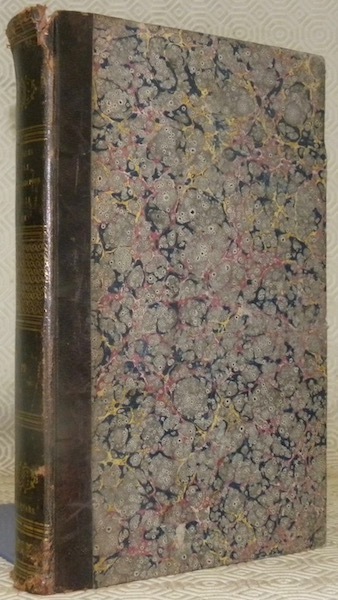
Annales de l’Association de la Propagation de la Foi, recueil périodique des lettres des évêques et des missionnaires des missions des deux mondes, et de tous les documens relatifs aux missions et à l’Association de la Propagation de la Foi. Collection faisant suite à toutes les éditions des Lettres Edifiantes. Tome dix-neuvième.
Paris - Lyon, chez l’Editeur des Annales 1847, 210x130mm, 528pages, reliure demi-basane. Titre et filets dorés au dos, plats papier marbré.
Riferimento per il libraio : 78222
|
|
|
ANNUAIRE OFFICIEL DES SYNDICATS D'INITIATIVE 1966.
Fotografías, publicidad, etc...
|
|
|
ANSÓ - Madrid 1954 - Mapa
Madrid, Dirección General del Instituto Geográfico y Catastral, 1954. 2ª edición. Mapa publicado por sectores (sector 144). Escala 1:50.000. 56x76 cms. Mapa entelado y plegado. Buen ejemplar.
|
|
|
Antique photo album of Maori women Whakarewarewa Rotorua North Island New Zealand
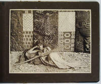
Hardcover. Very Good Minus/No Jacket. 8vo - over 7¾" - 9¾" tall. This is a photo album consisting of 13 duotone archival photographs of girls and women of Whakarewarewa and vicinity. 12 photos are approx. 9 1/8 x 7 ¼ inches 23x18 cm. 1 photo is 5 3/8 x 3 ½ inches 13.5x9 cm. Each photo has a neatly printed title or description; else no text in the album. All 12 large plates are tipped in not laid down. No tears or staining observed; the last four plates have diagonal creasing to the lower left corners. Photos mounted on heavy-weight brown paper. The oblong album is approx. 9.25 x 12 inches. Bound in semi-flexible hardboards of marbled paper with black buckram spine and corners. Patterned pastedowns/FEPs with a small repeat design typical of papers from the turn of the 20th century. Good Plus condition overall with photos generally in Very Good condition. 1 lb. 1 oz. weight. Undated photographs probably circa 1900-1920 possibly earlier. Photo captions as follows: "Mairie" the Arawa beauty; a Whakarewarewa beauty; a tribal belle; "poi" dancer Whakarewarewa; Maori girls; Onehe ra! departed days; Kapai te torori; a pretty Maori; Maori woman weaving taniko; Maori woman twisting flax; Te hongi rubbing noses; Maori women; and in reduced format Te hongi rubbing noses. When viewed under magnification the elderly women pictured have chin moko i.e. tattoos. The girls and young women do not. Early photographs of the women of Whakarewarewa including those who acted as tour guides are known to have been taken no later than the 1880s and probably earlier. European missionaries and traders arrived in Rotorua in the 1830s and soon local Maori began to turn the inquisitiveness of the visitors to advantage by showing them the geothermal environment. Persons acting as paid guides were deemed essential. Traditionally it was the women of Tuhourangi and of Ngati Wahiao who acted as guides at Whakarewarewa. Maori women rather than men were more appealing to tourists. Guiding was also compatible with the traditional puhi and kaitiaki role of Maori women. They grasped the opportunity to sustain themselves and their families by doing work they enjoyed. Unfortunately Whakarewarewa The Living Maori Village purporting to offer Maori cultural dance performances and traditional feasts has become a sort of Disneyland experience for tourists. <br/> <br/> hardcover
Riferimento per il libraio : 008772
|
|

 Ricevere i risultati per e-mail
 Scaricare i risultati in PDF
 RSS feed
 Link
Link


