|
SOUTH-AMERICA - JAILLOT, HUBERT/ BRION DE LA TOUR.
Amerique Meridionale divisée en ses Principales Parties au sont distinqués les une des autres Les Estats suivant Francois, Castillans, Portugais, Hollandois. Revüe et Corrigée par Mr. brion.
A Paris, chez le Sr Desnos, 1783. 46x64 cm. Engraved map of South America, contemporary handcoloured. The 2 large cartouches uncoloured. Right margin shaved, small tear showing into scale, of which a small part lost (1x1 cm.).
|
|
|
SOUTH-AMERICA - JAILLOT, HUBERT/ BRION DE LA TOUR.
Amerique Meridionale divisée en ses Principales Parties au sont distinqués les une des autres Les Estats suivant Francois, Castillans, Portugais, Hollandois. Revüe et Corrigée par Mr. brion.
A Paris, chez le Sr Desnos, 1783. 46x64 cm. Engraved map of South America, contemporary handcoloured. The 2 large cartouches uncoloured. Right margin shaved, small tear showing into scale, of which a small part lost (1x1 cm.).
Riferimento per il libraio : 25418
|
|
|
Southern Pacific Company
Map of San Francisco: Showing points of special interest to attendants the Fifth International Convention of the Epworth League July 18-21 1901
<p>Map of San Francisco: Showing points of special interest to attendants the Fifth International Convention of the Epworth League July 18-21 1901 folding map of 21" x 28" printed in black & red.With numbered locations of places of Methodist interest and historical. Verso of map with 23 panels detailing trips excursions to Yosemite Valley Southern California including Pasadena Redlands Riverside Palo Alto Santa Cruz Lick Observatory. Very good minor wear; short tears at folds.</p><p>San Francisco before the 1906 devastating earthquake.</p> unknown
Riferimento per il libraio : 2221875

|
|
|
Southern Pacific Company
Map of San Francisco: Showing points of special interest to attendants the Fifth International Convention of the Epworth League July 18-21 1901
<p>Map of San Francisco: Showing points of special interest to attendants the Fifth International Convention of the Epworth League July 18-21 1901 folding map of 21" x 28" printed in black & red.With numbered locations of places of Methodist interest and historical. Verso of map with 23 panels detailing trips excursions to Yosemite Valley Southern California including Pasadena Redlands Riverside Palo Alto Santa Cruz Lick Observatory. Very good minor wear; short tears at folds.</p><p>San Francisco before the 1906 devastating earthquake.</p> unknown books
Riferimento per il libraio : 2221875
|
|
|
Soviet Union Information Bureau.
THE SOVIET UNION. Facts. Descriptions. Statistics.
288p. + Plus two color folding maps. Decorated title page. Lacks first endpaper. 8vo. Original full red cloth binding, stamped in gold. Original dust jacket, very slightly worn with a few tears but no loss. With mimeographed sheet listing the Council of People's Commissars of the Soviet Union as of February, 1932. First American edition. Coldwar/Economics 7
|
|
|
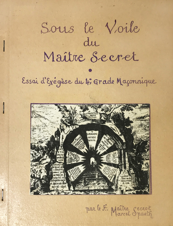
Spaeth (Marcel) :
Sous le Voile du Maître Secret. Essai d'Exegèse du 4e grade Maçonnique. Par le F.: Maître Secret, Marcel Spaeth.
Rueil-Malmaison, Marcel Spaeth, s.d. (circa années 1960) ; in-4, broché agrafé sur le côté, polycopié de 53, (3) ff. de planches, couverture beige illustrée, titre indigo reproduction d'écriture, (1) f. de papier bleu en frontispice, nombreuses figures, texte recto.
Riferimento per il libraio : 14763
|
|
|
SPARRMAN
Voyage au Cap de Bonne-Espérance et autour du monde avec le capitaine Cook, et principalement dans le pays des Hottentots et des Caffres
Paris, Buisson, 1787. 2 vol in-4° (26 x 20 cm) , 2ff.-XXI-3pp.-478pp.[2] ff., 2ff.-462 pp., illustré d’un frontispice, une carte et 15 planches, relié plein basane époque, dos à nerfs orné avec pièces de titre et tomaison vertes, triple filets aux plats et roulette intérieure, tranches marbrées, coiffe sup. réparée, tache au coin, travail de ver (tome 2) sur 15 feuillets, 2 cahiers brunis, petite mouillure marginale.
Riferimento per il libraio : PHO-1778

|
|
|
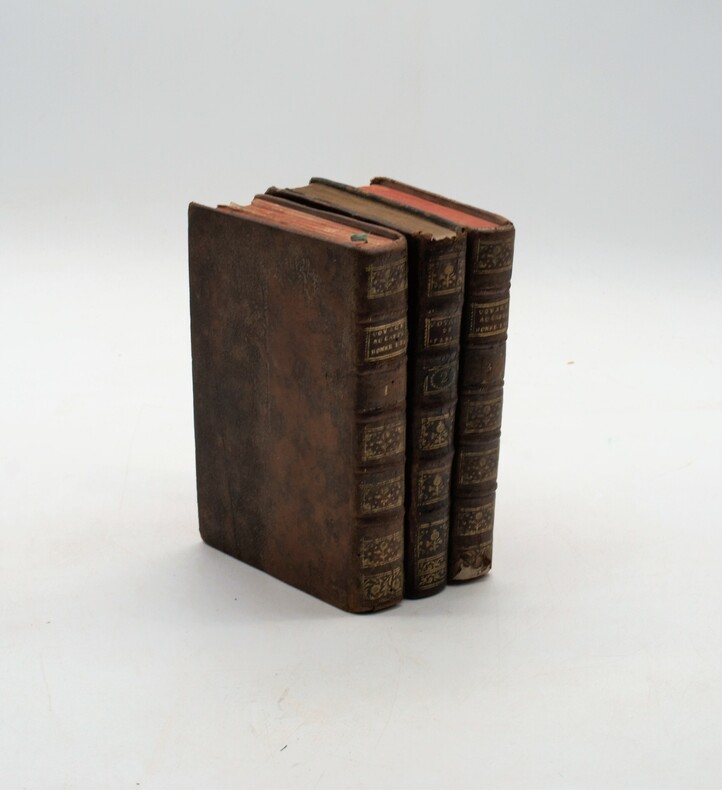
SPARRMAN (Anders)
Voyage au cap de Bonne-Espérance, et autour du monde avec le capitaine Cook, et principalement dans le pays des Hottentots et des Caffres.
À Paris, chez Buisson, 1787, in-8, 3 volumes, XXXII-388pp-366pp-363pp , illustré de 16 gravures (6 en répétition) , relié plein cuir marbré époque , dos à nerf orné avec pièce de titre , dos du tome 2 différent , accident aux coiffes , 1 planche détachée , fente intérieure tome 1.
Riferimento per il libraio : PHO-1121
|
|
|
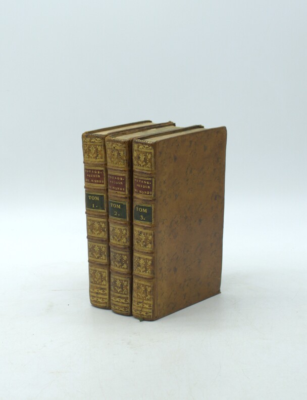
SPARRMAN, André.
Voyage au Cap de Bonne-Espérance, et autour du monde avec le capitaine Cook. et principalement dans les pays des Hottentots et des Caffres.
Paris, Buisson, 1787. Trois volumes in-8 (198x120mm), xxxii-388pp.-2 pl., 2ff.-366pp.- 8 pl., 2ff.-363pp.- 6pl.. Basane marbrée de l'époque, tranches marbrées, dos à nerfs ornés avec pièce de titre (rouge) et tomaison (verte) mouillure au t2, carte volante.
Riferimento per il libraio : PHO-2220
|
|
|
SPARRMAN, André.
Voyage au Cap de Bonne-Espérance, et autour du monde avec le capitaine Cook. et principalement dans les pays des Hottentots et des Caffres.
Paris, Buisson, 1787. Trois volumes in-8 (203x130mm), xxxii-388pp.-2 pl., 2ff.-366pp.- 8 pl., 2ff.-363pp.- 6pl.. Basane porphyre époque, dos lisse orné avec tomaison et pièce de titre, frises aux plats, tranches dorées, coins usés dont 1 émoussé, accroc à la coiffe tome 3, frottements, épidermures au tome 1 avec petites pertes de matière, charnières fendillées tome 1, petite mouillure marginale sur quelques feuillets, légères rousseurs et brunissures, carte détachée avec trace de renforcement, réparation sur 1 planche.
Riferimento per il libraio : PHO-2223

|
|
|
Special Feature/Flower Journey, Dumpling Journey Maps are said to be "in your head" by Toemon Sano and others
Lapin Ropan May 1997
Not Available 1997. Soft Cover. Fine. The book is in fine condition. Not Available paperback
Riferimento per il libraio : 2090502113711262
|
|
|
Special Feature/Tourist Maps of Eguro - Kenji Takarabe, Motoaki Tawara, Tatsuo Shihashi and others Urabun Publishing
The eyes of the eyes Touch the heart of antique arts and crafts November 1985 No.108
Not Available 1985. Soft Cover. Fine. The book is in fine condition. Not Available paperback
Riferimento per il libraio : 2090502113716172
|
|
|
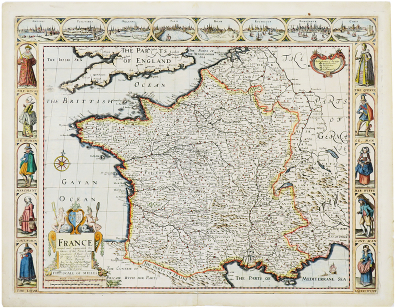
SPEED (John).
France revised and augmented, the attires of the French and situations of their cheifest cityes.
Londres, Thomas Bassett and Richard Chiswell, [1676]. 402 x 522 mm.
Riferimento per il libraio : LBW-7057
|
|
|
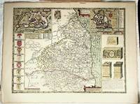
Speed, John maps
NORTHUMBERLAND reproduction
FINE map. Reproduction from Speed's "THEATRE OF THE EMPIRE .". Softcover. FINE map. Overall 17.5"x23.5" image 15.25"x20". This is not a photographic reproduction. Attractive & colorful. . FLAWLESS image. Not even the faintest aging foxing etc. VERSO FLAWS: light but extensive surface damage from some sort of adhesive with some loss of lettering. Verso only effected not into recto. . paperback
Riferimento per il libraio : 001174
|
|
|
Speed, John
Shropshyre Described: The Situation of Shrowesbury Shewed with the Armies of Thos Earles, and Other Memorable Things Observed
Undated facsimile reprint of map of Shropshire originally issued in the early 1600s. eng
|
|
|
SPEED, JOHN.
John Speed's England. A coloured Facsimile of the Maps and text from the Theatre of the Empire of Great Britaine. First Edtion, 1611.
London, Phoenix House Limited, (1953-54). Folio. 4 orig. hcloth, all in orig. slicase. Fine and clean. Text and fine facsimile-maps in colour.
|
|
|
SPEED, JOHN.
John Speed's England. A coloured Facsimile of the Maps and text from the Theatre of the Empire of Great Britaine. First Edtion, 1611.
London, Phoenix House Limited, (1953-54). Folio. 4 orig. hcloth, all in orig. slicase. Fine and clean. Text and fine facsimile-maps in colour.
Riferimento per il libraio : 49146
|
|
|
Spencer, Brian
A Visitor's Guide to the Lake District (revised edition)
No marks or inscriptions. A lovely clean very tight copy with bright unmarked boards and no bumping to corners. Dust jacket price clipped but not marked or torn or creased. 139pp.

|
|
|
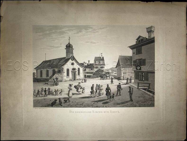
Sperli, Johann Jakob (1794-1843)
Die ehemahlige Kirche zum Kreuz.
(1838). Aquatinta, gezeichnet und gestochen von Johann Jakob Sperli d. Ä. Blattgrösse: 40 x 53 cm. Plattengrösse: 31 x 40 cm. Bildausschnitt: 23,2 x 34,5 cm. + Wichtig: Für unsere Kunden in der EU erfolgt der Versand alle 14 Tage verzollt ab Deutschland / Postbank-Konto in Deutschland vorhanden +, Abb.
Riferimento per il libraio : 845CG

|
|
|
Sperli, Johann Jakob (1794-1843):
Die ehemahlige Kirche zum Kreuz.
(1838). Aquatinta, gezeichnet und gestochen von Johann Jakob Sperli d. Ä. Blattgrösse: 40 x 53 cm. Plattengrösse: 31 x 40 cm. Bildausschnitt: 23,2 x 34,5 cm.
Riferimento per il libraio : 845CG
|
|
|
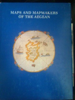
Sphyroeras, Vasilis & Avramea , Anna & Asdrahas, Spyros
Maps and Mapmakers of the Aegean
Athens: Olkos Publishers 1985 Book. As New. Hardcover. 1st Greek Edition. Translated by G. Cox J. Solman. The charting of the Aegean Sea or the Greek Archipelago from the 15th up to the 19th century. 236p. Map Index; General Index. 166 color and black & white maps. Olkos Publishers hardcover
Riferimento per il libraio : 040277
|
|
|
SPHYROERAS
Maps and mapmakers of the aegean
apla6. In-4, relié toilé marron d'édition, jaquette illustrée (legerement frottée sur les coins), livre en tres bon état. 267 pages. Illustré. Éditeur : Athens, Olkos LTD texte en anglais. Date d'édition : 1985
Riferimento per il libraio : CCC00460
|
|
|
Sphyroeras, Vasilis & Avramea , Anna & Asdrahas, Spyros
Maps and Mapmakers of the Aegean
Translated by G. Cox, J. Solman. The charting of the Aegean Sea, or the Greek Archipelago, from the 15th up to the 19th century. 236p. Map Index; General Index. 166 color and black & white maps Book
|
|
|
Sphyroeras, Vasilis & Avramea , Anna & Asdrahas, Spyros
Maps and Mapmakers of the Aegean
The charting of the Aegean Sea, or the Greek Archipelago, from the 15th up to the 19th century. English translation by G. Cox & J. Solman. 236p. Map Index; General Index. 166 color and black & white maps Book
|
|
|
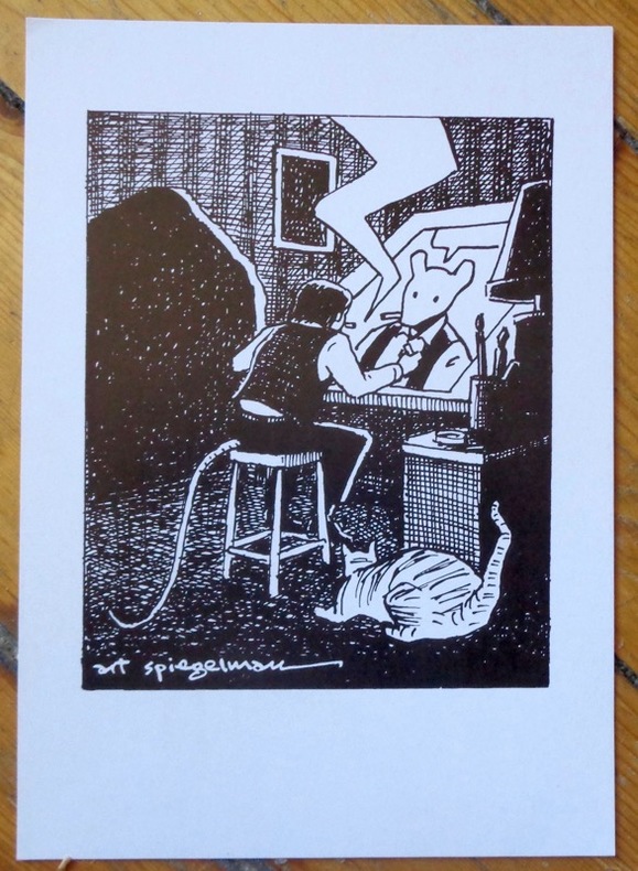
Spiegelman Art:
Self portrait.
Basel, Comix Shop, 1997. Carton d'invitation (auf Deutsch, au format 15 x 21 cm.) au vernissage de l'exposition "Art Spegelman - Prints".
Riferimento per il libraio : 9049
|
|
|
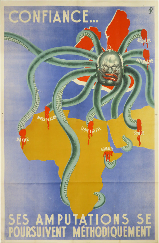
SPK.
[PROPAGANDE SECONDE GUERRE MONDIALE] Confiance... ses amputations se poursuivent méthodiquement.
[entre 1941 et 1942]. Affiche en couleurs de 114,5 x 75 cm.
Riferimento per il libraio : LBW-8634
|
|
|
Spofford, Jeremiah.
A GAZETTEER OF MASSACHUSETTS: Containing a General View of the State, with an Historical Sketch of the Principal Events From Its Settlement to the Present Time, and Notices of the Several Towns Alphabetically Arranged. With a Map of the State.
348 p. Folding colored map of Massachusetts. The map could use some minor repairs at folds, etc. 12mo. Contemporary full leather binding. American Imprints 35374; Howes S-839; Sabin 89563. Atlas Case. QUITE SCARCE. **PRICE JUST REDUCED!
|
|
|
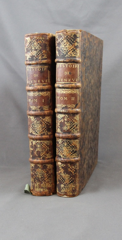
SPON M:
Histoire de Genève. Rectifiée & augmentée par d’amples Notes. Avec les actes et autres pièces servant de Preuves à cette Histoire.
A Genève, Chez Fabri & Barrillot, 1730. 2 volumes in-4 de XV-556-[10], 518 pages + 2 grandes planches dépliantes et 1 carte. Plein veau marron moucheté, dos à nerfs ornés de fleurons et roulettes dorés, pièces de titre et tomaison de maroquin havane, tranches rouge.
Riferimento per il libraio : 2358
|
|
|
Sporrong Ulf, Wennstrom Hans-Fedrik
Maps and Mapping. National Atlas of Sweden
34 cm, rilegatura editoriale, titolo in oro al piatto e al dorso, sovracopertina illustrata; p. 205, numerose illustrazioni e carte geografiche a colori, testo in inglese

|
|
|
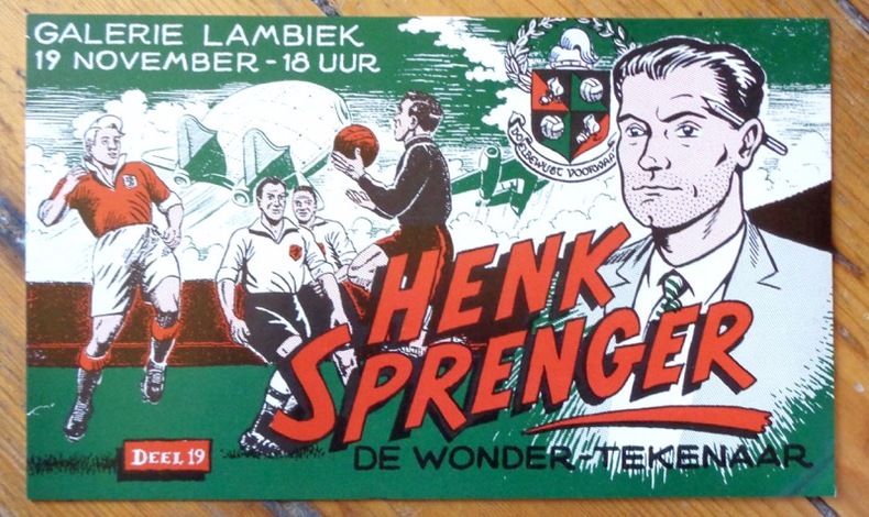
Sprenger Henk:
De wonder-tekenaar.
Galerie Lambiek, sans date. Carton d'invitation à une exposition consacrée au "dessinateur miracle". Format 21,5 x 13 cm., petit pli au coin inférieur.
Riferimento per il libraio : 9051
|
|
|
SPRUNER, KARL AND MENKE,THEODOR
Die Länder des Islâm zur Zeit der Bûjiden 945-1055.
Gotha: Justus Perthes. 1877. Map with original colour and outline hand-colour 32.7 x 40.7 cm four inset maps text in German central fold slight marginal edge wear and spotting to the verso but in very good condition. A handsome map detailing the lands of Islam at the time of the Bujids 945-1055. The inset maps depict a western extension to the main map southern Arabia the lands of the Ghaznavid sultanate in Central Asia and lands of the Eastern Roman/Byzantine Empire issued for the "Hand-Atlas für die Geschichte des Mittelatters und die Neueren Zeit". . Justus Perthes unknown
Riferimento per il libraio : 174917
|
|
|
SPRUNER, KARL AND MENKE, THEODOR
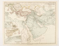
Die Länder des Islâm unter den Abbâsiden bis zur Einnahme von Baghdâd durch die Bûjiden 750 bis 945 n. Ch
Gotha: Justus Perthes. 1877. Map with original colour and outline hand-colour 32.2 x 40 cm three inset maps text in German central fold slight marginal toning in very good condition. A most handsome map detailing the lands of Islam under the Abbasids up to the capture of Baghdâd by the Bûjids from 750 to 945 AD. The inset maps depict Northern Iraq Baghdad and a western continuation of the main map issued for the "Hand-Atlas für die Geschichte des Mittelatters und die Neueren Zeit". . Justus Perthes unknown
Riferimento per il libraio : 174913
|
|
|
SPRUNER, KARL AND MENKE,THEODOR
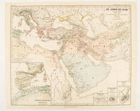
Die Länder des Islâm von der Hegra 622 n. Ch. bis zum Sturze der Umaijaden 750 n. Ch.
Gotha: Justus Perthes. 1877. Map with original colour and outline hand-colour 33.1 x 40.2 cm four inset maps text in German central fold slight marginal edge wear and spotting to the verso but in very good condition. A handsome map detailing the lands of Islam from Hegra in AD 622 to the fall of the Umayyads in AD 750. The inset maps depict a western extension to the main map and city plans for Damascus Jathrib & Medina and Mecca issued for the "Hand-Atlas für die Geschichte des Mittelatters und die Neueren Zeit". . Justus Perthes unknown
Riferimento per il libraio : 174916
|
|
|
SPRUNER, KARL AND MENKE, THEODOR
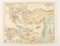
Lateinische Herrschaften im Orient 1210 bis 1311
Gotha: Justus Perthes. 1876. Map with original colour and outline hand-colour 32.2 x 40 cm seven inset maps text in German central fold slight marginal toning in very good condition. A most handsome and highly detailed map detailing provinces of the Latin Empire in the wake of the Crusades. The inset maps depict Achaia in Greece Divisions of the Empire and a city plan of Constantinople issued for the "Hand-Atlas für die Geschichte des Mittelatters und die Neueren Zeit" . Justus Perthes unknown
Riferimento per il libraio : 174910
|
|
|
SPRUNER, KARL AND MENKE,THEODOR
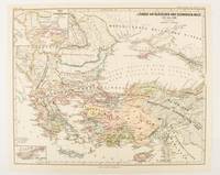
Länder am Ägäischen und Schwarzen Meer 1311 bis 1390.
Gotha: Justus Perthes. 1877. Map with original colour and outline hand-colour 32.2 x 40 cm two inset maps text in German central fold in very good condition. A most handsome map detailing countries on the Aegean and Black Seas 1311 to 1390. The inset maps depict the kingdom of Stephan Duschan Serbia and the land of the Crimean Goths issued for the "Hand-Atlas für die Geschichte des Mittelatters und die Neueren Zeit". . Justus Perthes unknown
Riferimento per il libraio : 174915
|
|
|
ST BRIEUC
Cartes d'Etat major type 1889 : St Brieuc - St Brieuc S-E
2 cartes 34x53 cm.
|
|
|
ST. PETERSBURG - COLLINS, WILLIAM.
St. Petersburg.
London, Glasgow & Edinburgh ca. 1870. Coloured lithograph showing a bird's eye view of the city. 22 x 28 cm. Framed and matted.
|
|
|
ST. PETERSBURG - COLLINS, WILLIAM.
St. Petersburg.
London, Glasgow & Edinburgh ca. 1870. Coloured lithograph showing a bird's eye view of the city. 22 x 28 cm. Framed and matted.
Riferimento per il libraio : 38865
|
|
|
Stacey, Col CP; GWL Nicholson; CCJ Bond (Illust & Maps); C P G W L C C J
Official History of the Canadian Army in the Second World War Complete in Three Volumes
Ottawa Ontario Canada: Pubished by the Authority of the Minister of National Defence Roger Duhamel Queen's Printer and Controller of Stationery 1956-1960. Hardcover. pp. xiii 629; xv 807; xiii 770. Thick Royal 8vo's. Uniformly bound in bright red cloth over boards gilt lettering to the spines and armorial device embossed to the centre of the front boards; map endpapers. Replete with many black-and-white and colour maps including many fold-out photographs illustrations portraits et al. Excepting some light bumping to the spine ends the extremities remain remarkably well-preserved with no additional detectable flaws contents remain equally and uniformly without blemish with bright clean and unmarked pages and tight sound bindings; about fine with each housed in light shelfworn dustjackets now in protective mylar covers. Overall very good to near fine. <br/><br/> Pubished by the Authority of the Minister of National Defence | Roger Duhamel, Queen's Printer and Controller of Stationery hardcover
Riferimento per il libraio : 7943
|
|
|
Staff
Bulletin of the Pan American Union Volume 43
Vol. XLIII , July - December 1916, Nos. 274 - 279, 816 pages, with a great many b&w photos throughout. Includes trade, travel, industrial, agricultural, export, census, building data, etc. for the Latin and South American countries: Argentina, Bolivia, Brazil, Central America, Chile, Columbia, Costa Rica, Cuba, Ecuador, Dominican Republic, Guatemala Haiti, Honduras, Mexico, Nicaragua, Panama, Paraguay, etc.
|
|
|
Staff
Edwards Lithoprinted Facsimiles: Series A Document of the American Revolution Parts 1,2,3,4,5,6
Six folders each with hard plastic protective folders within, containing 5 - 20 loose leaf documents each reproducing original documents of the American revolution. Parts 1 - 6, each a separate folder, contain documents of Lexington & Concord, The tragedy of the playwright general, 20,000 pounds for West Point! the plot that failed, Amenities of Yorktown, American vs. the British, Women of the revolution. Letters, maps, edicts, etc.

|
|
|
Staff
Kelly's Post Office Directory Map of London
Red folder with some shelf wear, a few small stains, small tear at lower spine with four maps of London for the North Western Section, South Western Section, North Eastern Section and South Eastern Section. Each map is 38 x 31" (96cm X 80cm) and all are in excellent condition, showing little to no wear. Street maps are printed in half mile squares with postal districts outlined in orange. No date.

|
|
|
Staff of Franklin Maps
Metro Street Atlas of Chester County in Pennsylvania by Staff of Franklin Maps
Franklin Maps. Very Good. Franklin Maps; King of Prussia 1998. Softcover. A Very Good some handling/scuff marks to covers crease bottom rear cover corners binding solid and sturdy trace edge/corner wear a nice clean and unmarked copy in Oversize stapled Wraps. 4toquarto or approx. 9.5 x 12 inches approx. 151pp. 71 large scale maps 10300 streets indexed with zip codes and 1150 cultural features indexed with telephone numbers. We pack securely and ship daily with delivery confirmation on every book. The picture on the listing page is of the actual book for sale. Additional Scans are available for any item please inquire. Franklin Maps paperback
Riferimento per il libraio : SKU1023409

|
|
|
Staff of Heligan Gardens Ltd
The Lost Gardens of Heligan Handbook
No marks or inscriptions. Small crease to upper corner of rear cover. A very clean very tight copy with bright unmarked boards and no bumping to corners. 73pp. The essential guide to the Gardens & wider estate near St Austell in Cornwall.

|
|
|
Staff; Office of Technology Assessment
Effects of Nuclear War, The
Book is in excellent condition with very bright red covers, gilt print at spine. Binding is solid and square, covers have sharp corners, exterior shows no blemishes, text/interior is clean and free of marking of any kind. Dust jacket has one 1/2" tear, a little edge wear. Previous owner's name at front endpaper. Contents include: A nuclear weapon over Detroit or Leningrad: a tutorial on the effets of nuclear weapons, Civil defense, Three attack cases, Other long-term effects, with six apendices. Lots of great graphics: maps of Detriot and Leningrad with bomb graphics over them showing PSI ratings, for instance, surface burst, air burst, casualty counts, terrorist weapon senario, radioactive graphics over Lake Erie, fireball, breakaway, shock front, Mach front, fallout, thermonuclear ground burst, lots of great stuff we can thank the Pentagon for: making us safer!

|
|
|
STANFORD (Edward).
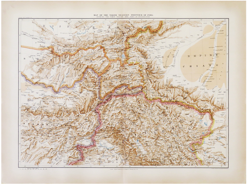
[AFGHANISTAN & PAKISTAN] Map of the north western frontier of India showing the Pamir region and part of Afghanistan.
London, Edward Stanford, 1896. 470 x 640 mm.
Riferimento per il libraio : LBW-6821
|
|
|
STANFORD (Edward).
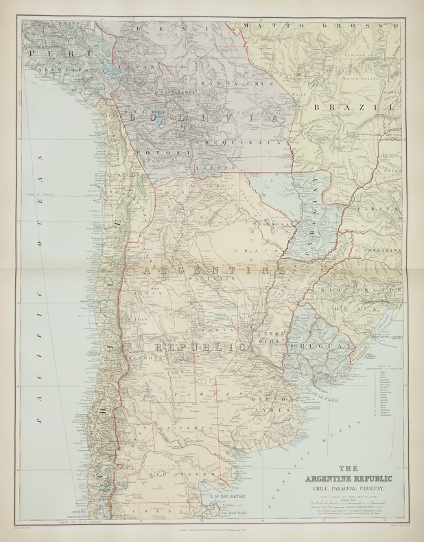
[ARGENTINE] The Argentine Republic. Chile, Paraguay, Uruguay.
London, Edward Stanford, [1896]. 660 x 500 mm.
Riferimento per il libraio : LBW-2879
|
|
|
STANFORD (Edward).
[BIRMANIE] Burma and adjacent countries.
London, Edward Stanford, [1896]. 720 x 520 mm.
Riferimento per il libraio : LBW-2871

|
|
|
STANFORD (Edward).
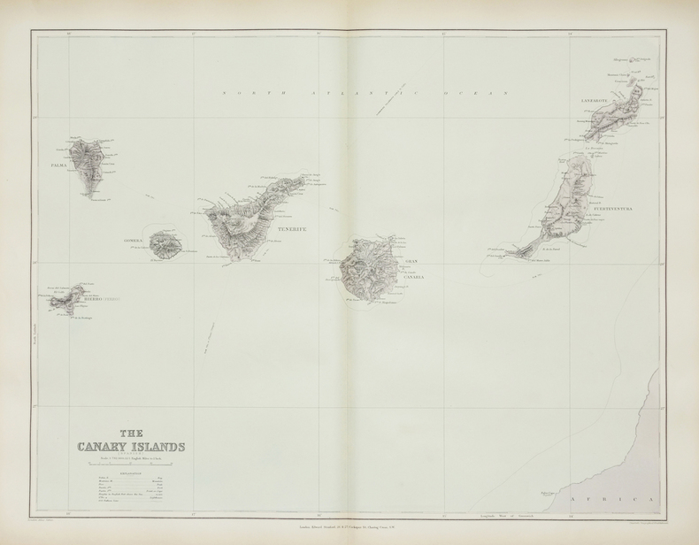
[CANARIES] The Canary Islands (Spanish).
London, Edward Stanford, [1896]. 480 x 622 mm.
Riferimento per il libraio : LBW-2867
|
|
|
STANFORD (Edward).
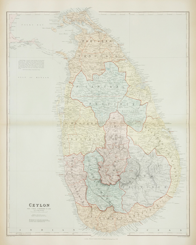
[CEYLAN/SRI LANKA] Ceylon.
London, Edward Stanford, [1896]. 640 x 503 mm.
Riferimento per il libraio : LBW-2872
|
|

 Ricevere i risultati per e-mail
 Scaricare i risultati in PDF
 RSS feed
 Link
Link


