|
[NEPAL]
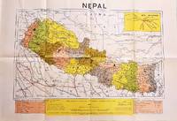
Latest Political Map of Nepal.
Dehli.: Indian Book Depot Map House. 1979. Colour map on blush coloured paper 44.2 x 63.6 cms; 53.6 x 75.9 cms sheet inset map of air service routes folding into pictorial card wrappers 25.5 x 19.3 cms issued into colour pictorial paper folder in very good condition. Map shows Nepal and surrounding borders with India Tibet and China provinces picked out in colour international and state boundaries sealed roads railway lines canals lakes springs rivers towns and villages tourist places temples and the inset map shows air services from Nepal to Thailand and India. The rear wrapper shows a view of Pashupatinath Temple the oldest Hindu temple in Kathmandu. . Indian Book Depot (Map House). unknown
书商的参考编号 : 207710
|
|
|
[NEW SOUTH WALES - 1912 COLOUR MAP].
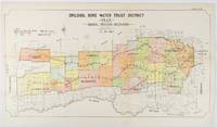
Drildool Bore Water Trust District Plan shewing proposed Boundaries.
Sydney.: W.A. Gullick Govt. Printer. 1912. Large lithographed folding county map 78.8 x 45.4 cm the parishes highlighted in colour two small fold splits slight toning in very good bright condition. Attractive map from the Report on the first Interstate Conference on Artesian Water Sydney 1912 showing boundaries of water trust districts proposed boundaries with position and length of drains for the counties of Denham and Jamison in northern New South Wales boundaried by the Namoi River to the South. . [W.A. Gullick, Govt. Printer] unknown
书商的参考编号 : 177249
|
|
|
[New York City; Upper West Side; Maps] Sackersdorff, Otto
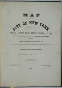
Map of the City of New York. Parts I & II. Showing the Streets Avenues Roads Public Squares & Places Laid Out Established Widened and Retained the New Pier and Bulkhead Lines Laid Out and Established by the Board of Commissioners of the Central Park. Atlas
New York 1872. Hardcover. Very good condition. Maps of Manhattan's west side prior to the completion of Central Park which was finished in 1876. The maps were compiled by longtime New York City Department of Public Works map clerk and city surveyor Otto Sackersdorff noted for his 'Maps of Farms Commonly called The Blue Book 1815". The Blue Book was not published until 1868 as a demonstration of northern economic might at the end of the Civil War. <br /> <br /> The real estate maps show property lines existing roads parks shorelines wetlands and the Manhattan grid extending from west of 8th Avenue at 59th Street and Columbus Circle up to 222nd Street and Spuyten Duyvil & Kingsbridge. Parks and major thoroughfares include: Central Park St. Nicholas Avenue Fort Washington Park Kingsbridge Road and High Bridge Park.<br /> <br /> Folio 15 x 20 1/2" 14 maps in total: 1 full page and 13 double page 28 x 20" hand colored lithographed map sheets. Each map contiguous with one another. Period quarter green gilt leather and dark green buckram boards. Spine gently rubbed; the maps exceptionally bright and clean. <br /> <br /> Previous owner inscription in pencil E. B. Van Winkle from Chas. H. Myers July 1875. Van Winkle was a civil engineer with an interest in road construction and drainage having written a report on the drainage of the 23rd & 24th wards of New York City. Myers was an Assistant Engineer in Charge of Sewers for New York City.<br /> <br /> OCLC: 41175506 at Princeton and OCLC: 40671892 at Columbia and the New York Public Library. hardcover
书商的参考编号 : 26020
|
|
|
[NEW YORK -- MAPS]. TAINTOR, [Joseph Lord & Charles N]
New map of the great metropolis including the cities of New York Brooklyn Jersey City Hoboken &c. . . .
New York NY: Taintor Brothers Merrill & Co. 758 Broadway c. 1867 ca. 1870. One large folio colour lithograph map sized 19.5 x 25 in. expertly mounted on linen decorative border neatline very faint dustsoiling marks from when originally folded very slight age toning at the former creases still a VG bright copy. Early printing of this splendid map depicting the five boroughs before their consolidation 30 years later in 1898 and offering a superb snapshot of the streets ferry lines waterways and Harbor. New York rapidly changed during the end of the 19th Century with tremendous influx of immigrants into the City and this map captures a pivotal time. Joseph Taintor 1835-1881 established this mapmaking firm with his brother Charles Taintor in 1866 and after 1868 when they changed the name of the firm they added their Uncle and entered the field of school book pubishing including the Analytical Readers series. See: David Rumsey Historical Map Collection City of New York No. 0973.003. Taintor Brothers, Merrill & Co., 758 Broadway, unknown
书商的参考编号 : 63963
|
|
|
[New York City – Maps – Tourism] Nostrand, George J
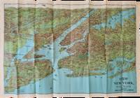
“View of New York and Vicinity Showing Good Automobile Roads†with “The Only and Original ‘Seeing New York’ Automobiles and Yacht†Pamphlet
George J. Nostrand; Winkoop Hallenbeck Crawford Co 1928. Map measuring 20 x 29 inches; trifold measuring 8 ½ x 12 inches. Map folded with some small tears at folds slightly wrinkled pencil markings verso; very attractive. Overall excellent. Offered here is a large attractive bird’s-eye view map of New York City and the surrounding areas by George J. Nostrand a New York City-based lithographer and cartographer; and a small pamphlet advertising sightseeing tours by car or yacht with “lecturers accompanying each trip explaining all points of interestâ€. The map highlights the most car-friendly routes around the city and New Jersey as far west as Mountain View and is beautifully illustrated with buildings landmarks and ships in the harbor. It was likely produced between 1927 and 1929 given certain details for instance the George Washington Bridge is labeled only as “proposedâ€; we find two copies of the 1928 printing and four of the 1929 printing on OCLC. George J. Nostrand; Winkoop Hallenbeck Crawford Co unknown
书商的参考编号 : List2973
|
|
|
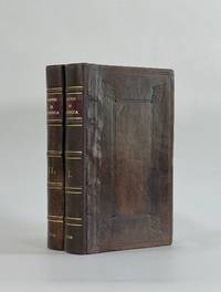
[Oldmixon, John] | maps by Herman Moll
British Empire in America Containing the History of the Discovery Settlement Progress and Present State of All the British Colonies On the Continent and Islands of America . . . With Curious Maps of the Several Places Done from the Newest Surveys. By Herman Moll Geographer 2 Volumes Complete
London: John Nicholson 1708. Full Leather. Very Good binding. Octavo. xxxviii 2 412; 2 382 2 ads 32 index pp. maps. First edition. Contemporary paneled-calf boards with modern reback. Title page to Volume 1 and four of the eight maps are lacking but are supplied in tasteful facsimile. The maps in facsimile are the North America New England Virginia and Maryland and Carolina. Bindings are solid and presently nicely; contents are clean and bright; but for the maps and title page this is an exceptional set. <br /> <br /> Of this work William Reese writes: "This basic 18th-century reference work on British America . . . offers an excellent comprehensive survey of Great Britain's American colonies at the point when those on the mainland of North America had grown past their initial phase and were expanding rapidly in population and productivity. . . . This important contemporary work would probably have been the first point of reference for any Englishman at the time" Reese Struggle for North America 1. Usually attributed to Oldmixon who penned the dedication but occasionally gets attributed to Moll according to Sabin. A significant work by the British historian. Howes O-61 "aa"; European Americana 1708/95; ESTC T45485; Sabin 57156. John Nicholson unknown
书商的参考编号 : 8917
|
|
|
[OREGON -- MAPS]. GILHAM, [Fred Howes].
Gilham’s guide Oregon 1930. A simple accurate up-to-date index of Oregon for business firms. Every Oregon home should have one.
Portland OR: Gilham’s Guide 1930. 8vo. 91 1 pp. Maps throughout. Tan printed softcovers minor darkening and thumbing to fore-edges 1 small corner creased still a VG copy. First edition of this scarce automobile travel map guide to Oregon for travelers and businessmen. Supplied with an extended index the strip maps all offer auto roads and stage roads for buses as well as showing railroad lines. In addition ferries post offices Western Union Express Offices and much more are shown. In addition there are mileage maps for Washington & Oregon included as well. Gilham 1882-1949 was a lifetime Portland OR resident who published gravel guides and histories on the Pacific Northwest but after losing his business during the Great Depression went to work for the Jones Lumber Co. Gilham’s Guide, paperback
书商的参考编号 : 56484
|
|
|
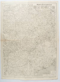
[OSAKA MAINICHI SHINBUNSHA EDITED BY]. 大阪毎日新聞社編纂.
漢口戦局全図. Kanko senkyoku zenzu. Hankow/Hankou War Situation Map.
大阪. Osaka.: 大阪毎日新聞社. Osaka Mainichi Shinbunsha. 昭和 13 1938. Black and white map folded showing Hankow one of the three cities which merged to become Wuhan 54.5 x 49cm scale 1:2000000. Some light browning tiny closed tear upper margin neatly repaired with conservation standard tape. Good copy. This Hankow/Hankou War Situation Map is a supplement map of Osaka Mainichi Newspaper on 25 August 1938. The two inset maps show the region around Nanjing and Hong Kong. It gives detailed place names of Hankow area. . 大阪毎日新聞社. [Osaka Mainichi Shinbunsha]. unknown
书商的参考编号 : 172829
|
|
|
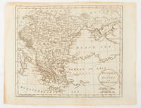
[OTTOMAN EMPIRE - BALKANS & DANUBIA].
Turkey in Europe and Hungary.
Philadelphia.: Carey Mathew and Warner Benjamin. 1816. Engraved map 19 x 22.3 cm original folds some offsetting to the map marginal browning and staining small archival repairs to the outer margin but in good condition. Fine map Plate 19 prepared for Carey and Benjamin's "General Atlas.". . (Carey, Mathew and Warner, Benjamin). unknown
书商的参考编号 : 175252
|
|
|
[PARIS]
Album de cartes et vues de Paris
Paris, début du XXe siècle. In-8, 46 pl., chagrin brun d'Antoine Maître, décor à froid sur les plats et le dos, tranches dorées (épidermures, fermoirs manquants).
书商的参考编号 : 19206

|
|
|
[Patrimoine en Isère]
CARTE MATHEYSINE
Une carte géographique au 1:100.000e, éditée en 2008, bon état
书商的参考编号 : LFA-126728944
|
|
|
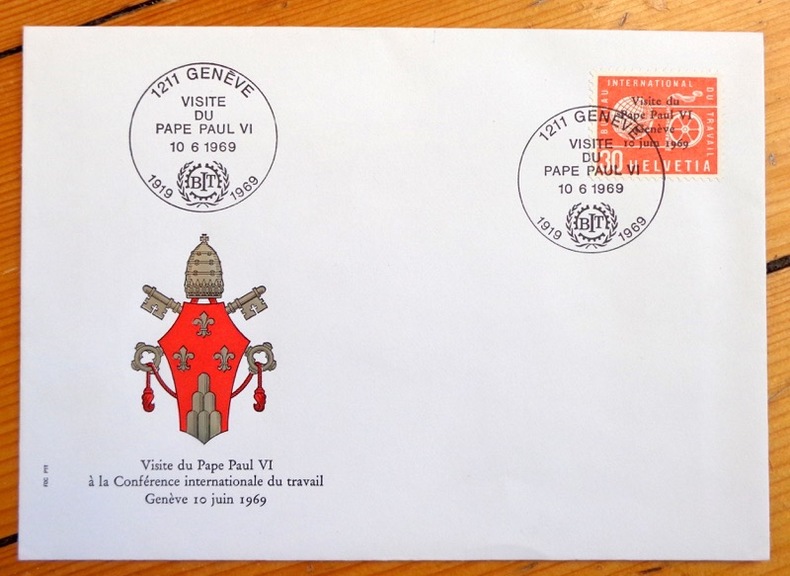
[Paul VI]:
Visite du Pape Paul VI à la conférence internationale du Travail, Genève 10 juin 1969.
Enveloppe avec décor gaufré, timbre spécial édité à l'occasion de la visite papale, oblitéré à la date de la conférence. En parfaite condition.
书商的参考编号 : 4579
|
|
|
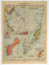
[PACIFIC - WORLD WAR II MAP].
Pacific Island Stepping Stones to Japan.
Chicago.: Chicago Daily Tribune. 28 September1944. Colour pictorial map on a single newspaper leaf archivally laid down on linen 50 x 39.2 cms; 59.3 x 43.3 cms sheet including captions faint toning to fold lines very good condition. Vivid colour maps of the Palau Islands Guam and Saipan in the Marianas and an inset location map published in the "Chicago Daily Tribune" in September 1944 months after the landing of US and Allied Forces in the offensive against the Japanese during the Pacific War. . Chicago Daily Tribune. unknown
书商的参考编号 : 208880
|
|
|
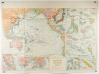
[PACIFIC - SOUTHEAST & EAST ASIA- MAP - 1930S WITH INSETS OF HONG KONG AND SINGAPORE]
Pacific Ocean. Robinsons New Map of the Pacific Ocean with Insets Showing Island Groups in Detail. Map title: Map of Pacific Ocean. Mercators Projection.
Sydney: H.E.C. Robinson. Circa1930s. Printed colour maps in all 65.5 x 99cm the main map roughly 50 x 65 cms on a single sheet 76 x 101.3 cms; a little carelessly folded decorative blue title cover a little dusty and a few fold splits and edgewear but in good condition. The exceptional feature of this map are the twenty six large scale inset maps of Pacific islands including: Malay States Singapore Hong Kong these at lower left Japan Philippine Islands Hawaiian Islands Fiji Solomon Islands Western and Eastern Samoa Tahiti Saipan New Caledonia and Dependencies and many others. <br> <br>The main map of the Pacific Ocean stretches from Southeast Asia including all of Australia and New Zealand the west coast of the Americas the Kamchatka Peninsula Manchukuo Manchuria and most of China. Korea and Taiwan are marked as Japanese Territory. Possessions of Britain France the Netherlands and the United States are highlighted. <br> <br>An incredibly rich source of information on the Pacific theatre during the years leading up to World War II. From the Sydney publisher H.E.C. Robinson the firm founded in 1895 by Herbert Robinson 1857-1933 a founder of the Royal Geographical Society of Australasia. . H.E.C. Robinson. unknown
书商的参考编号 : 205997
|
|
|
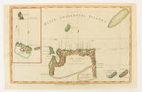
[PACIFIC - MAP] WALKER, JOHN (ENGRAVER).
Queen Charlotte's Islands.
London.: Alexander Hogg at the King's Arms. circa1784. Engraved map on laid paper 21.4 x 33.7 cm inset of Gower's Simson's and Carteret's Island early outline hand colour trimmed to the plate mark at the top edge three small edge tears affecting the upper margin only slight paper toning but a most attractive map in very good condition. Fine impression of the Queen Charlotte's Islands Solomon Islands. It features the Swallow's track the ship's route taken by Captain Philip Carteret in 1767 the British naval officer and explorer who participated in two of the Royal Navy's circumnavigation expeditions in 1764–66 and 1766–69. . Alexander Hogg at the King's Arms. unknown
书商的参考编号 : 174895
|
|
|
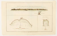
[PACIFIC - MAP] WALKER, JOHN (ENGRAVER).
The North side of Queen Charlotte's Islands as it appeared running along shore to the Westward.
London.: Alexander Hogg at the King's Arms. circa1784. Engraved map in triptych on laid paper 20.1 x 32.7 cm three insets: cross section of the north side of Queen Charlotte's Islands Solomon Islands with detail of a volcano "6 leagues North"; Swallow's Bay Harbour; and Byron's Harbour early hand colour trimmed to the plate mark at the top edge neat sealed tear affecting the publisher's caption slight edge wear and paper toning but a most attractive map in very good condition. Attractive engraving of the Queen Charlotte's Islands Solomon Islands. The Islands were named for the consort of King George III by Philip Carteret the British naval officer and explorer who participated in two of the Royal Navy's circumnavigation expeditions in 1764–66 and 1766–69. His ship the Swallow gave her name to the Bay and Carteret's commanding officer on the first of his voyages John Byron to the Harbour depicted in this most attractive early chart. . Alexander Hogg at the King's Arms. unknown
书商的参考编号 : 174896
|
|
|
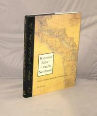
[Pacific Northwest Maps] Hayes, Derek
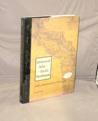
Historical Atlas of the Pacific Northwest: Maps of Exploration and Discovery British Columbia Washington Oregon Alaska Yukon.
Seattle:: Sasquatch Books 1999. First Printing of the First US Edition. A Fine copy in a Fine bright unclipped dust jacket. This volume provides a visual journey through four centuries of exploration and discovery beginning with the 16th Century Spanish and English explorers. Included are accounts and the cartographic contributions of Sir Francis Drake Vitus Bering James Cook Alexander Mackenzie George Vancouver Lewis & Clark and dozens of other important travelers. Includes 325 map reproductions. Sasquatch Books, unknown
书商的参考编号 : 28781 ???????? : 1570612153 9781570612152
|
|
|
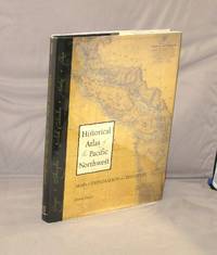
[Pacific Northwest Maps] Hayes, Derek
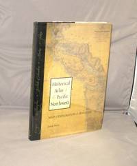
Historical Atlas of the Pacific Northwest: Maps of Exploration and Discovery British Columbia Washington Oregon Alaska Yukon.
Seattle:: Sasquatch Books 1999. Third Printing of the First US Edition. A Fine copy in a Fine bright unclipped dust jacket. This volume provides a visual journey through four centuries of exploration and discovery beginning with the 16th Century Spanish and English explorers. Included are accounts and the cartographic contributions of Sir Francis Drake Vitus Bering James Cook Alexander Mackenzie George Vancouver Lewis & Clark and dozens of other important travelers. Includes 325 map reproductions. Sasquatch Books, unknown
书商的参考编号 : 28908 ???????? : 1570612153 9781570612152
|
|
|
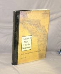
[Pacific Northwest Maps] Hayes, Derek
Historical Atlas of the Pacific Northwest: Maps of Exploration and Discovery British Columbia Washington Oregon Alaska Yukon.
Seattle:: Sasquatch Books 1999. Second Printing of the First Edition. A Fine copy in a Near Fine bright unclipped dust jacket. This volume provides a visual journey through four centuries of exploration and discovery beginning with the 16th Century Spanish and English explorers. Included are accounts and the cartographic contributions of Sir Francis Drake Vitus Bering James Cook Alexander Mackenzie George Vancouver Lewis & Clark and dozens of other important travelers. Includes 325 map reproductions. Sasquatch Books, unknown
书商的参考编号 : 29157 ???????? : 1570612153 9781570612152
|
|
|
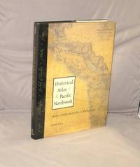
[Pacific Northwest Maps] Hayes, Derek
Historical Atlas of the Pacific Northwest: Maps of Exploration and Discovery British Columbia Washington Oregon Alaska Yukon.
Seattle::: Sasquatch Books 1999. Third Printing of the First Edition. A Fine copy in a Fine bright unclipped dust jacket. This volume provides a visual journey through four centuries of exploration and discovery beginning with the 16th Century Spanish and English explorers. Included are accounts and the cartographic contributions of Sir Francis Drake Vitus Bering James Cook Alexander Mackenzie George Vancouver Lewis & Clark and dozens of other important travelers. Includes 325 map reproductions. Sasquatch Books,, unknown
书商的参考编号 : 29225 ???????? : 1570612153 9781570612152
|
|
|
[Pacific Northwest Maps] Hayes, Derek
Historical Atlas of the Pacific Northwest: Maps of Exploration and Discovery British Columbia Washington Oregon Alaska Yukon.
<p>Seattle::: Sasquatch Books 1999. First Printing of the First US Edition. A Fine copy in a Fine bright unclipped dust jacket. This copy is signed by the author. This volume provides a visual journey through four centuries of exploration and discovery beginning with the 16th Century Spanish and English explorers. Included are accounts and the cartographic contributions of Sir Francis Drake Vitus Bering James Cook Alexander Mackenzie George Vancouver Lewis & Clark and dozens of other important travelers. Includes 325 map reproductions.</p> Sasquatch Books,, hardcover
书商的参考编号 : 29316 ???????? : 1570612153 9781570612152
|
|
|
[Pacific Northwest Maps] Hayes, Derek
Historical Atlas of the Pacific Northwest: Maps of Exploration and Discovery British Columbia Washington Oregon Alaska Yukon.
Seattle::: Sasquatch Books 1999. Third Printing of the First Edition. A Fine copy in a Fine bright unclipped dust jacket. This volume provides a visual journey through four centuries of exploration and discovery beginning with the 16th Century Spanish and English explorers. Included are accounts and the cartographic contributions of Sir Francis Drake Vitus Bering James Cook Alexander Mackenzie George Vancouver Lewis & Clark and dozens of other important travelers. Includes 325 map reproductions. Sasquatch Books,, unknown
书商的参考编号 : 29402 ???????? : 1570612153 9781570612152
|
|
|
[Pacific Northwest Maps] Hayes, Derek
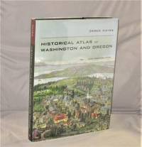
Historical Atlas of Washington and Oregon with Original Maps.
Berkeley:: University of California Press 2011. First Printing of the First US Edition. A Fine copy in a Fine bright unclipped dust jacket. This gorgeous atlas illustrated throughout with more than 500 colorful images and maps provides a visually rich and textually engaging history of the states of Oregon and Washington. Derek Hayes brings his enthusiasm and expertise to a full range of topics beginning with the first inhabitants and tracing the westward expansion conflict between settlers and Native Americans and the establishment of the Oregon Trail. We see in vivid images old maps and lively text the coming of the railroads and the rapid establishment of the coastal ports northwest cities and roads the fur and lumber industries and the large farms. University of California Press, unknown
书商的参考编号 : 28184 ???????? : 1570612153 9781570612152
|
|
|
[Palestine].
Situs Terrae Promissionis SS Bibliorum Intelligentiam Exacte Aperiens: Per Christianum Adrichomium Delphum". Cologne, Kramer, 1682.
Engraved map, printed from two plates and assembled. Ca. 1065 x 390 mm (printed area ca. 1005 x 350 mm). Large and decorative map of the Holy Land, printed from two plate, from Christian van Adrichem's "Theatrum terrae sanctae et biblicarum historiarum". Van Adrichem's map is oriented toward the east and shows the twelve tribes of Israel on both sides of the River Jordan. The coastline runs from Sidon in Lebanon to Alexandria in Egypt, also showing part of the Red Sea. In the Mediterranean, off the coast, several ships and sea monsters are visible. On the Dead Sea are four burning cities: Sodom, Gomorrah, Zeboim, and Adama. - Folds smoothed and reinforced in places. A good, strong impression.
|
|
|
[Pennsylvania] [Pictorial Maps] King, Samuel A
Cornplanter's Kingdom: The Allegheny National Forest and Environs
DuBois PA: Samuel A. King 1952. Revised 1952. Folding map 25x19" printed in red and black. Sportsman's club label to upper margin with some offsetting to lower. Small split at fold intersections title and a few stains to blank verso otherwise a clean near fine example. <br /> <br /> Very popular map which was originally designed and published by Samuel A. King in 1951 and revised in 1952 and 54. According to OCLC there were also 1960s and 70s printings under slightly different titles. This map shows the Allegheny National Forest and surrounding counties with animal silhouettes tracks and a portrait of John O'Bail the Cornplanter last of the great Seneca chiefs. Made for motorists hunters and anglers it shows paved and clay roads trails pipe and power lines fire and lookout towers state parks game lands airports and towns with post offices. <br /> <br /> The early copies of this map are somewhat scarce and there are many modern reprints available. OCLC cites 8 holdings for the '51-54 editions with just 1 being the '52. A lovely example. . Samuel A. King unknown
书商的参考编号 : 9160
|
|
|
[PHOTOGRAPHIE].-
L'Artiste Photographe.-
ND Photo. Série des Scènes Parisiennes. (Vers 1905). Carte postale (14x9cm) ayant voyagé, oblitération de 1906. Tout petit défaut à un coin sinon bon état. Rare.
书商的参考编号 : ORD-8404
|
|
|
[PHILIPPINES - 1960S TOURIST MAP]
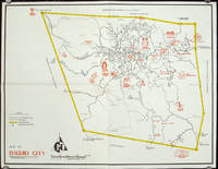
Map of Baguio City Showing Some of Its Major and Minor Tourists Interests.
circa1960. Printed pictorial map 44.8 x 58 cms 46.7 x 60.3 cms sheet original folds a little wear but in very good condition. Attractive 1960s tourist map of Baguio city when it was the "Summer Capital" of the Philippines. Tourist attractions are shown pictorially in red blue triangles denote wood carving shops the city boundaries outlined in yellow sealed and unsealed roads are also shown. . unknown
书商的参考编号 : 206510
|
|
|
[PHILIPPINES - WORLD WAR II MAP] DRURY, JOHN G (MAPMAKER).
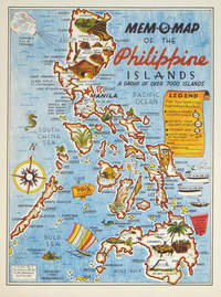
Mem-O-Map of the Philippine Islands. A Group of Over 7000 Islands.
U.S.A.: Mem-O-Map Co. 1945. Colour pictographic / pictorial map 32.1 x 23.8 cms; 35.4 x 26.6 cms sheet very good condition. Rare pictorial map published in 1945 by John G. Drury aTechnical Officer who served with the 214th Ordnance Battalion to mark the end of World War II as souvenirs for the military. Military personnel could fill in banners "came in on good ship." and "departed on good ship." their name organisation and "Line of Advance or movement" blank in this example. Pictographs mark various memorable spots and wildlife including larger-than-life insects. A "Terrible Tillie Typhoon" looms over the coast at Luzon. <br>Drury published a series of five maps: Philippines and Okinawa in 1945; Japan and Korea Oahu and Europe in 1946. They are all scarce. “These almost whimsical maps are designed to support the creation of personalised geographies. At a time when digital mapping is beginning to experiment with the creation of personalised content that would render the same map in different ways for different users Mem-O-Maps demonstrate the principle in action." Kenneth Field ICA Commission on Map Design. . Mem-O-Map Co. unknown
书商的参考编号 : 204557
|
|
|
[PHNOM PENH - MAPS AND BROCHURE].
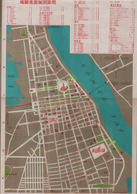
金邊 游客順知. Jinbian - Youke shunzhi. Tourist Brochure of Phnom Penh.
國家旅行社. National Travel Company. Circa1960s. Folding tourist brochure of Phnom Penh and environs in total 64.5 x 49.8cm 15 panels folded size 21.5 x 9.8cm. Two maps one of the city of Phnom Penh with street names in Khmer transliterated into Latin script 43 x 30cm. On reverse a coloured topographical map of southen Cambodia showing border with Vietnam 20 x 28.5cm. Numerous black and white photographic illustrations to accompany information on flights trains tourist entry requirements sights of interest to tourists. All information in traditional Chinese characters. Slight browning on one panel and two small holes mended with washi paper else in very good condition. Of particular interest in the visitor information is a description of an area about 150 km from the city of Phnom Penh which tourists can visit to take photographs of or hunt wild animals as long as they bring their own rifles. . 國家旅行社. National Travel Company. unknown
书商的参考编号 : 217495
|
|
|
[PHOTOGRAPHS OF MAPS SHOWING LAND USE IN PAKISTAN].
Pakistan: Land Forms and Land Use.
circa1970. Collection of 20 black and white photographic plates with their accompanying negatives of maps showing patterns of land use and land forms throughout Pakistan. These photographs are of two sets of maps prepared by the Canadian government covering the whole of Pakistan. A very useful set. From the collection of Professor Basil Johnson Emeritius Professor of Geography at the Australian National University Canberra. From the collection of geographer Professor Basil Johnson who was the author of a number of works on South Asia including "India Resources and Development" and "Geographical Dictionary of India". . unknown
书商的参考编号 : 54789

|
|
|
[Photographie - Rom].
Roma. [Rom, um 1900].
36 Albuminabzüge (ca. 12:17 cm), montiert in rotes Originalleinenalbum mit goldgepr. Deckeltitel. Gr.-qu.-8vo. Schöne, teils etwas ausgebleichte Originalphotographien römischer Baudenkmäler um 1900, darunter Petersdom, Lateranbasilika, S. Maria Maggiore, Colosseum, Titusbogen, Forum romanum, Pantheon, Vestatempel, Trevibrunnen, Engelsburg, Piazza Navona, Trajanssäule, Cestiuspyramide und Statuen aus den Vatikanischen Sammlungen (Laokoongruppe, Perseus etc.). - Schwach wellig verzogen.

|
|
|
[PICQUET (Charles)].
Plan routier de la ville de Paris. ou Guide des étrangers dans cette capitale, divisé en XII arrondissements ou mairies, et en 48 quartiers, offrant Paris tel qu'il est aujourd'hui, avec les noms des rues, quais, places, &c., inscrits conformément aux ordonnances royales
Paris, Ch. Picquet, 1833 plan dépliant de 59 x 89 cm, en feuilles, entoilées.
书商的参考编号 : 227567

|
|
|
[PICTORIAL - PRE WWII MAP] BURKE, HOWARD AUSTIN [1899-1967]
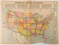
American Roads to Peace
Los Angeles.: Los Angeles Examiner. Sunday 1 May1938. Printed colour pictorial map 33 x 48 cms; 41.8 x 54.5 cms sheet central fold sheet toned corners chipped with some loss to the bottom border and at the central fold in good condition; and on the verso "Movie-Go-Round" by Louella O. Parsons black and white photos and advertisements. Pictorial map printed for the weekend supplement of the Randolph Hearst owned newspaper the Los Angeles Examiner. The map-maker and artist Howard Burke had also worked for the San Francisco Examiner and was known for pictorial maps many with a persuasive or rhetorical edge and as here were designed to shore up American patriotism and defences against a wider world in the increasingly turbulent pre-war 1930s. The caption to this map outlines a multi-billion dollar 25 year proposal by Congressman J. Buell Snyder for a network of coast to coast transcontinental highways "in case of an attack by a foreign power at any point along the border". Buell Snyder earned the soubriquet "the father of superhighways" and during the War he was assigned to a Congressional Committee in charge of appropriations for the War Department. Scarce. . Los Angeles Examiner. unknown
书商的参考编号 : 215547
|
|
|
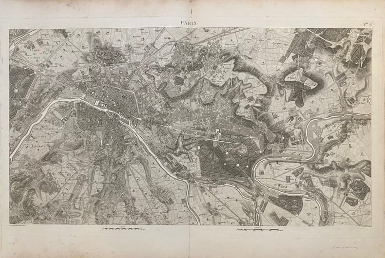
[PLAN-PARIS] BERTHIER (Alexandre).
Carte topographique des environs de Versailles dite des chasses impériales.
Picquet, (ca. 1810), 46 x 80.5 cm (cuvette) - 55.5 x 82 cm (feuille) , Légères rousseurs. Petite déchirure n'atteignant pas la composition.
书商的参考编号 : 232345
|
|
|
[PLAN MANUSCRIT] ROCHETTE, BOISLISLE, CORTEZ.
Fort de France. les travaux utilisés sont de M.M. les enseignes de Vaisseau de 2ème classe - Croiseur Suffren
Novembre-Décembre 1930 à vue : 50 x 31 cm - cadre : 53 x 34 cm , cadre en bois verni d'époque. Rousseurs.
书商的参考编号 : 231856

|
|
|
[PLAN].
Nouveau plan illustré de la ville de Paris. indiquant les changements, les voies projetées et en cours d'exécution
Paris, Imprimerie Monceau, 1867 plan dépliant de 59 x 89 cm, en feuille. Des déchirures à plusieurs pliures.
书商的参考编号 : 227571

|
|
|
[PLAN - PARIS] DELAGRIVE (Jean), BAILLEUL (Nicolas dit le Jeune). (D'après)
Paris et ses environs.
(Fin du XIXème siècle), 60 x 87 cm (cuvette) - 68 x 100 cm (feuille), Pliures. Signature de Nicolas Bailleul effacée.
书商的参考编号 : 232333

|
|
|
[PLAN]
Plan routier de la ville et faubourg de Paris.
Paris, Lattré, 1775 carte dépliante de 55 x 76 cm repliée au format in-8, en feuilles, entoilées, petits trous à certaines pliures, une tache au niveau du faubourg Saint-Antoine.
书商的参考编号 : 210292

|
|
|
[PLAN]
Plan routier de la ville et fauxbourgs de Paris. divisé en douze mairies. Revu et corrigé par Hérisson, géographe
Paris, Jean, 1832 carte dépliante de 61 x 89 cm, contours rehaussés de couleurs, en feuille, bords très ébarbés, quelques salissures.
书商的参考编号 : 210295
|
|
|
[PLANS DE PARIS].
Plant et pourtrait de la ville, cité et université de Paris. Introduction et notes par l'abbé Valentin Dufour
Collection Anciennes descriptions de Paris, VIIIParis, A. Quantin, 1883 petit in-8, [2] ff. n. ch., LXXXIII pp., 53 pp., un f. n. ch. de table, avec 3 plans dépliants hors texte, broché.
书商的参考编号 : 227357

|
|
|
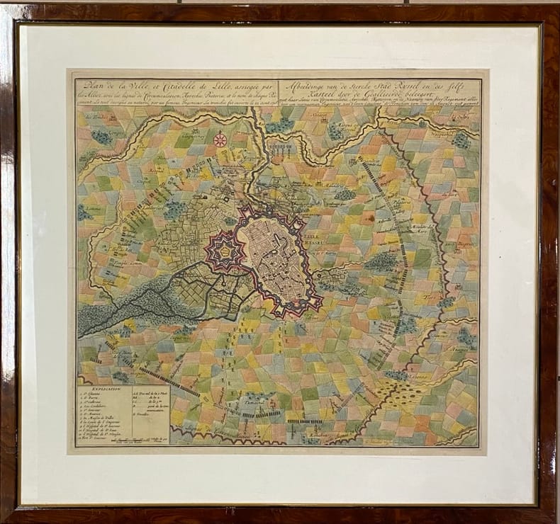
[PLAN] VISSCHER (Nicolaes Janz).
Plan de la Ville et Citadelle de Lille,. assiégée par les Alliez avec les lignes de Circumvalation, Approches, Bateries et le nom de chaque Régiment - Afbeeldinge van de stercke stad Ryssel en des felfs Kasteel door de Geallieerde beleegert, met haar linie van circumvalatie, aproches, battaryen en de de Naamen van jder regement. Le tout dessigné au naturel par un fameux Ingénieur. La tranchée fut ouverte le 22 aout 1708 alles door een voornaamen ingenieur, naa t leven geteekent, de Frencheen zyn den 22 August : 1708 geopent.
[Amsterdam], [1708] 49 x 53.5 (cuvette) - 68 x 73 cm (cadre), encadrement contemporain en bois verni. Quelques pliures. Infimes taches.
书商的参考编号 : 231959
|
|
|
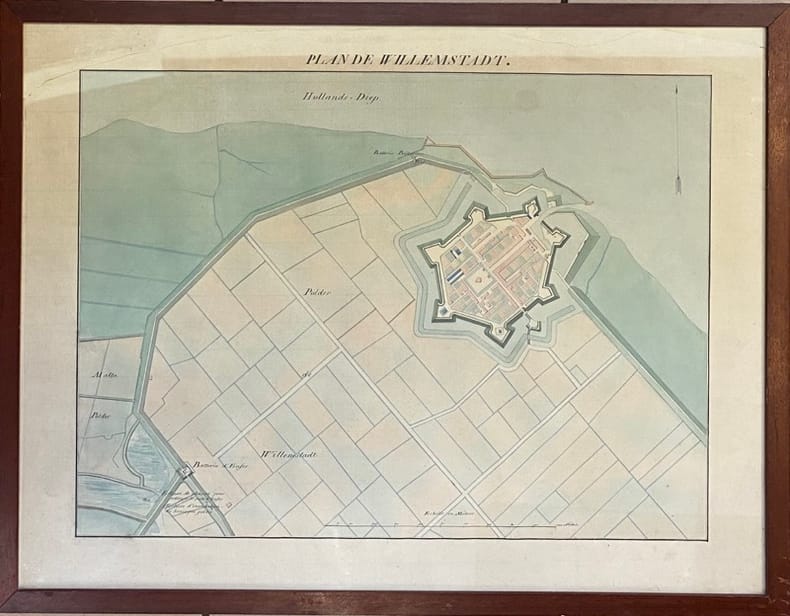
[PLAN MANUSCRIT]
Plan de Willemstadt.
(XVIIIème siècle) 48.5 x 63.5 cm (à vue) - 52.5 x 68 cm ( cadre) , cadre en bois verni. Déchirures dans la partie supérieure n'atteignant pas la composition. Insolé.
书商的参考编号 : 232205
|
|
|
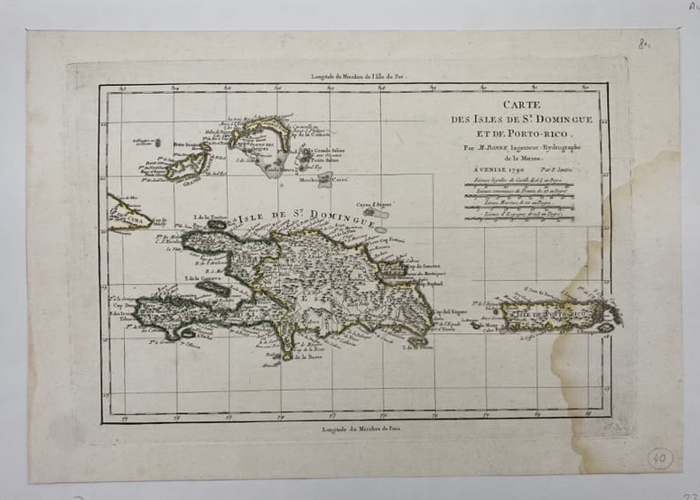
[PORTO-RICO/SAINT-DOMINGUE] BONNE (Rigobert).
Carte des Isles de St Domingue et de Porto-Rico.
Venise, (c.1790), , Mouillure sur le côté droit.
书商的参考编号 : 231866
|
|
|
[Pro Juventute]:
Reproductions de timbres Helvetia, 1921 à 1926.
6 cartes présentant 6 timbres de la série Helvetia, Pro Junventute, de 1921 à 1926. Format des reproductions 15 x 18 cm.
书商的参考编号 : 16617

|
|
|
[Ptolomaeus, Claudius]. - Sanz, Carlos
La Geographia de Ptolomeo. Ampliada con los primeros mapas impresos de América (desde 1507). Estudio bibliografico y critico. Con el catalogo de las ediciones aparecidas desde 1475 a 1883. Comentado e ilustrado.
Madrid, Victoriano Suarez, 1959. 4°. Mit zahlr. meist ganzs. Abbildungen. 281 S., 2 Bll., Lwd. d. Zt. m. goldgepr. Rückentitel u. dem eingeb. OUmschlag.
书商的参考编号 : 48400

|
|
|
[Puerto Rico] [Maps] [Spanish-American War] Greely, Brig Gen A W
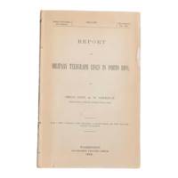
Report on Military Telegraph Lines in Porto Rico
Washington D.C.: Government Printing Office 1900. First edition. 8vo 100pp. Color folding map 42x108cm attached at rear. Stitched lacking wrappers or disbound from a larger publication paper toned with light chipping. Map clean. A good copy. <br /> <br /> Senate Document No. 429 56th congress. This report was given by Adolphus Washington Greely 1844-1935 then Brigadier General and Chief Signal Officer of the U.S. Army. Greely was in charge of maintaining communications networks during the Spanish-American War and oversaw construction and maintenance of telegraph lines in Puerto Rico Cuba and the Philippines. <br /> <br /> The map in this report is "Map of the Island of Porto Rico Showing the lines of signal communication telegraph telephone and heliograph operated by the Signal Corps U.S. Army with Military Posts." It was prepared by major William A. Glassford under the direction of Greely. <br /> <br /> <br /> OCLC cites 11 holdings. . Government Printing Office unknown
书商的参考编号 : 6902
|
|
|
[Qatar - Bahrain - El Katif].
Hofuf. World 1,000:000. Series 1301. Edition 5-GSGS. Sheet NG39. [London], War Office and Air Ministry, 1963.
Colour-printed map, ca. 750 x 610mm. Scale: 1:1,000,000. Rare 5th GSGS edition of this map of Qatar, Bahrain, and Ras Tanura in Saudi Arabia, as part of the International Map of the World series. Depicts Saudi Arabia from As Saffaniyah in the North over Hofuf, to Hidiba in the South. Shows boundaries, highways and roads, railways, airports, rivers and water features, and other details. - Two small brown spots to the image and a nick to the top edge, some creasing near margins. OCLC 34907145.
|
|
|
[QINGDAO IN 1938].
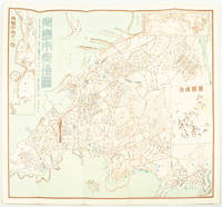
青島市街地図. Chintao shigai chizu. Japanese Plan of Qingdao City.
Qingdao: Taiheiyoko. 太平洋行. 昭和 13 1938. Coloured folding plan of Qingdao in 1938. some browning on reverse with a small lighter section on map Japanese place names no scale 36 x 39cm 3 inset maps. This 1938 Qingdao city map shows street names in Chinese characters and location of Chinese and Japanese public buildings such as the hospital shrines Japanese primary schools and high schools. The 3 inset maps show railway and transport routes as well as outskirts of the city. . [Taiheiyoko]. 太平洋行. unknown
书商的参考编号 : 171093
|
|
|
[REIMS] COLIN (Jean).
Plan de la Ville Cité et Université de Reims.
Jamas, s.l., 1655 (1930-32). Grand plan divisé en 4 feuilles de 39 x 72 cm chacune. Quelques taches et une petite déchirure en marge.
书商的参考编号 : 14136

|
|
|
[Reinegg, Jacob]
Tabula Itineraria a Sues usque ad Dsjabbel el Mokatteb et Montem Sinai. [Bildinschrift: Báhhr el Kolsum s. Báhhr es Sues; Báhhr el Akaba]. Kupferstichkarte mit Titelkartusche, Windrose u. 2 Meilenzeigern.
Kopenhagen, André Philippe de Pretot, 1772. Blattmaß 28 x 40 cm; Bildmaß 18 x 28,5 cm.
书商的参考编号 : 78798
|
|

 ?????????
 ?????PDF???
 RSS feed
 ??
??


