|
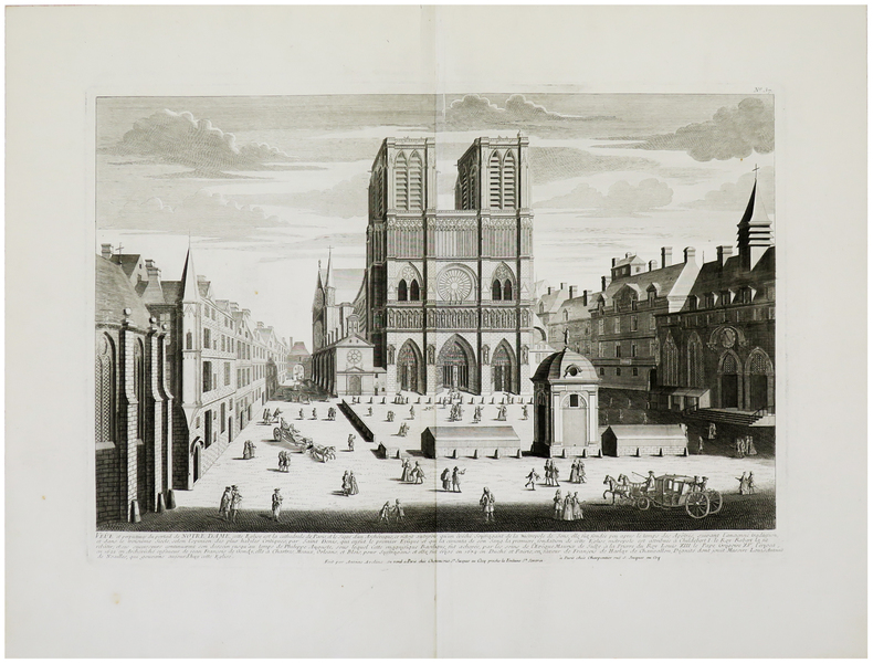
AVELINE (Antoine) & CHÉREAU (Jacques).
Veûe et perpectives du portail de Notre Dame.
Paris, Chéreau, [circa 1740]. 352 x 508 mm.
书商的参考编号 : LBW-962
|
|
|
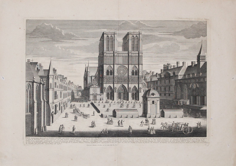
AVELINE (Antoine).
Veûe et perspectives du portail de Notre Dame.
[circa 1740]. 352 x 511 mm.
书商的参考编号 : LBW-3228
|
|
|
Avec 23 Cartes en Couleurs Et 110 Plans de Villes
Nouveau Guide de Terre Sainte
paperback. Good. Access codes and supplements are not guaranteed with used items. May be an ex-library book. paperback
书商的参考编号 : 0483222895.G ???????? : 0483222895 9780483222892
|
|
|
Avec Cartes Topographiques
Guide du Voyageur dans le Palais Et la Forêt de Fontainebleau ou Histoire Et Description Abrégées de Ces Lieux Remarquables Et Pittoresques
paperback. Good. Access codes and supplements are not guaranteed with used items. May be an ex-library book. paperback
书商的参考编号 : 1390322076.G ???????? : 1390322076 9781390322071

|
|
|
Avec Cartes Et Planches; Annee 1858
Nouvelles Annales des Voyages de la Géographie de l Histoire Et de l Archéologie Vol. 4
paperback. Good. Access codes and supplements are not guaranteed with used items. May be an ex-library book. paperback
书商的参考编号 : 0282689079.G ???????? : 0282689079 9780282689070
|
|
|
Avec Cartes Et Planches
Nouvelles Annales des Voyages de la Géographie de l'Histoire Et de l'Archéologie 1862 Vol. 4
paperback. Good. Access codes and supplements are not guaranteed with used items. May be an ex-library book. paperback
书商的参考编号 : 0282579060.G ???????? : 0282579060 9780282579067
|
|
|
Avec Cartes Et Plans; Campagne de 1805, Tome Premi
Précis des Événemens Militaires ou Essais Historiques sur les Campagnes de 1799 à 1814 Vol. 11
paperback. Good. Access codes and supplements are not guaranteed with used items. May be an ex-library book. paperback
书商的参考编号 : 0243851316.G ???????? : 0243851316 9780243851317
|
|
|
Avec Cartes Et Plans; Compagne de 1805
Précis des Événemens Militaires ou Essais Historiques sur les Campagnes de 1799 à 1814 Vol. 4
paperback. Good. Access codes and supplements are not guaranteed with used items. May be an ex-library book. paperback
书商的参考编号 : 0282475524.G ???????? : 0282475524 9780282475529
|
|
|
Avec Cartes Et Plans; Campagne de 1799
Précis des Événemens Militaires ou Essais Historiques sur les Campagnes de 1799 à 1814 Vol. 1
paperback. Good. Access codes and supplements are not guaranteed with used items. May be an ex-library book. paperback
书商的参考编号 : 0366216953.G ???????? : 0366216953 9780366216956
|
|
|
Avec Cartes Et Plans; Campagnes de 1806 Et 1807
Précis des Événemens Militaires ou Essais Historiques sur les Campagnes de 1799 à 1814 Vol. 1
paperback. Good. Access codes and supplements are not guaranteed with used items. May be an ex-library book. paperback
书商的参考编号 : 0282429476.G ???????? : 0282429476 9780282429478
|
|
|
Avec des Cartes Et Plans en Taille Douce
Point d'Appui Patriotique Allemand par-Rapport aux Operations de la Presente Guerre dans la Haute Et Basse Allemagne Surtout les Plus Recentes
paperback. Good. Access codes and supplements are not guaranteed with used items. May be an ex-library book. paperback
书商的参考编号 : 0259749915.G ???????? : 0259749915 9780259749912
|
|
|
Avec Nombreuses Gravures, Cartes Et Plan
Sens Et Ses Environs
paperback. Good. Access codes and supplements are not guaranteed with used items. May be an ex-library book. paperback
书商的参考编号 : 1390490785.G ???????? : 1390490785 9781390490787
|
|
|
Avec Plans, Cartes Et Vues Diverses
Histoire de la Ville de Cordes Tarn 1222-1799
paperback. Good. Access codes and supplements are not guaranteed with used items. May be an ex-library book. paperback
书商的参考编号 : 0484994727.G ???????? : 0484994727 9780484994729

|
|
|
AVELINE "il vecchio" Pierre (Pargi 1656 circa - 1722)
Profil de la Ville de Rome
Panorama di Roma preso dal Gianicolo, firmata "Aveline fecit et excudit", edita a Parigi presso Charpentier."La veduta panoramica di Roma è presa dal Gianicolo e raffigura sulla sinistra il complesso del Vaticano e Castel Sant'Angelo. AL centro il fitto tessuto urbano cittadino dal quale emergono torri e cupole non sempre riconoscibili. L'intera veduta è infatti condotta con grafia molto essenziale e immediata di non grande impatto visivo" (cfr. Barbara Jatta in "Roma Veduta" p. 193). La veduta viene attribuita dalla Jatta - soprattutto per motivi temporali legati all'editore Charpentier crediamo - ad Antoine Aveline "il giovane". La famiglia Aveline, appartenente alla borghesia parigina, lavorò per oltre due secoli nel campo artistico ed incisorio; visto il ripetersi dei nomi di battesimo e il fatto che apponevano la generica firma Aveline, si è spesso fatta confusione fra i sui vari componenti. Tuttavia l'imprint Aveline fecit et excudit lascia credere che l'edizione Charpentier sia il secondo stato (di tre) della lastra, che in seguito fu ristampata anche da Chereau. Quindi riteniamo più probabile - anche per lo stile grafico - attribuirla a Pierre Aveline e la data di stampa posta a circa il 1720 circa. Particolare curioso, la veduta non include il Colosseo. Nel margine inferiore, legenda di 47 numeri. Acquaforte, con ampli margini, consueta piega centrale, sporadiche e piccole ossidazioni nei margini bianchi nel complesso in ottimo stato di conservazione. Panorama of Rome taken from the Janiculum Hill, signed "Aveline fecit et excudit", published in Paris at Charpentier. The panoramic view of Rome is taken from the Janiculum Hill and depicts on the left the Vatican complex and Castel Sant'Angelo. At the center the dense urban fabric from which towers and domes emerge not always recognizable. The entire view is in fact conducted with very essential and immediate handwriting of not great visual impact (see Barbara Jatta in "Roma Veduta" p. 193). The view is attributed by Jatta to Antoine Aveline "the young". The Aveline family worked for over two centuries in the field of art and engraving; given the repetition of first names and the fact that they affixed the generic signature Aveline, there has often been confusion among the various members. However, the imprint Aveline fecit et excudit leads us to believe that the Charpentier edition is the second state (of three) of the plate, which was later reprinted also by Chereau. Therefore we think it more probable - also for the graphic style - to attribute it to Pierre Aveline and the date of printing placed at about 1720. Curious detail: the view does not include the Colosseum. In the lower margin, legend of 47 numbers. Etching, with wide margins, usual central fold, sporadic and small oxidations in the white margins, on the whole in very good condition. Arrigoni Bertarelli (1939): p. 20, n. 154; B. Jatta in "Roma Veduta", p. 193, n. 45; Marigiiani (2007), p. 262, n. 175.

|
|
|
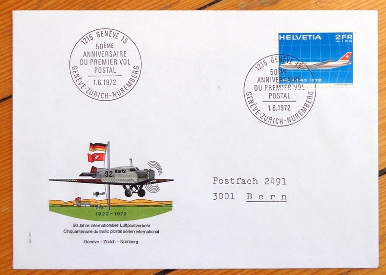
Aviation:
Cinquantenaire du trafic postal aérien. Genève-Zürich-Nürnberg. Enveloppe commémorative.
1972. Enveloppe au format 11,5 x 16, timbre et vignette couleurs, affranchissement philatélique, au 1er juin 1972 à Genève, à la même date à Nürnberg au dos.
书商的参考编号 : 4858
|
|
|
Avi Yonah, Michael [Ed.]
Sepher Yerushalayim (The Book of Jerusalem): Jerusalem, its Natural Conditions, History and Development from the Origins to the Present Day- in Two Volumes [THIS VOLUME ONLY]
29x20 cm. 431 pages. Gilt hardcover. Contains black & white plates and folded maps. Cover is slightly worn. Spine of book is worn. Spine is visible between a few pages. Slight discoloring of the upper, external part of pages. Else in good condition. PLEASE NOTE: This item is overweight. We may ask for extra shipping costs.
|
|
|
AXELMAN
Incarnations
1994 Editions Fleuve Noir, Collection "Angoisses" dirigée par Juliette Raabe N° 9 - 1994 - In-12 broché, couverture illustrée - Illustration Marc Demoulin
书商的参考编号 : 92336
|
|
|
Axelrod Robert
Structure of Decision: The Cognitive Maps of Political Elites (Princeton Legacy Library)
PRINCETON UNIV PR 1976 422 pages in8. 1976. Broché. 422 pages.
书商的参考编号 : 100138800 ???????? : 691100500

|
|
|
AYMARD André - AUBOYER Jeannine Illustrations en noir et blanc. Cartes, plans.
L'Orient et la Grèce antique.
Couverture rigide. Reliure de l'éditeur en toile bleue. 18 x23 cm. 701 pages.
书商的参考编号 : 133134
|
|
|
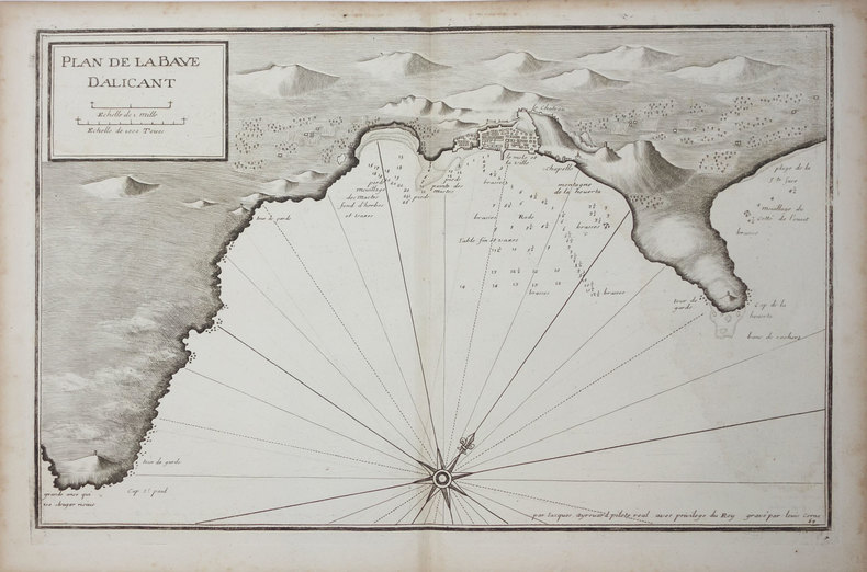
AYROUARD (Jacques).
[ALICANTE] Plan de la baye d'Alicant.
[circa 1730]. 291 x 454 mm.
书商的参考编号 : LBW024fc
|
|
|
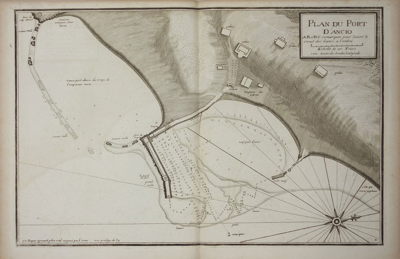
AYROUARD (Jacques).
[ANZIO] Plan du port d'Ancio.
[circa 1730]. 298 x 456 mm.
书商的参考编号 : LBW0029d
|
|
|
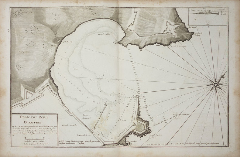
AYROUARD (Jacques).
[ANTIBES] Plan du port d'Antibe.
[circa 1730]. 297 x 452 mm.
书商的参考编号 : LBW-3328
|
|
|
AYROUARD (Jacques).
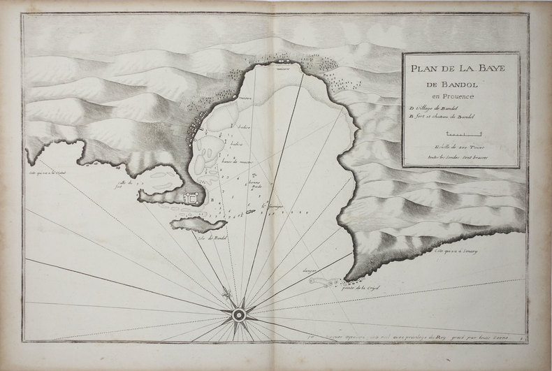
[BANDOL] Plan de la baye de Bandol en Provence.
[circa 1730]. 297 x 455 mm.
书商的参考编号 : LBW004e7
|
|
|
AYROUARD (Jacques).
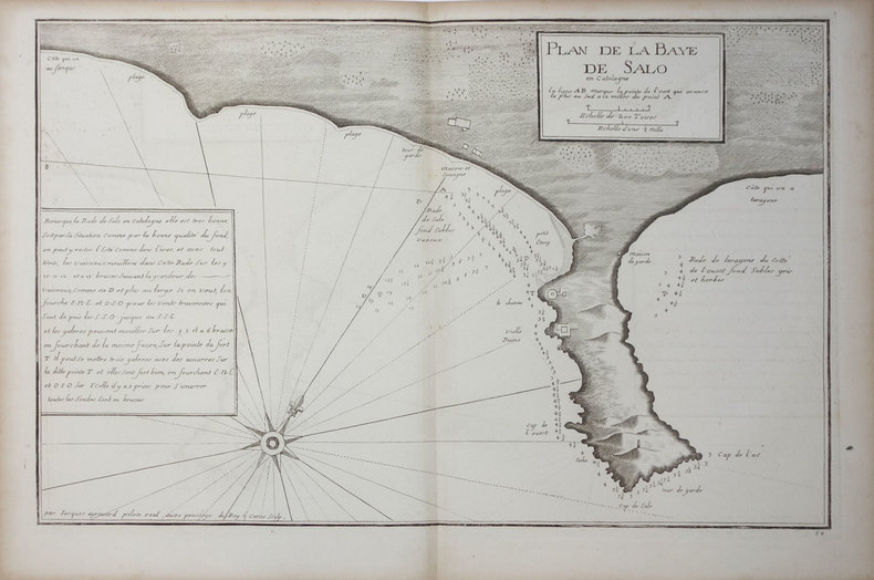
[CATALOGNE/SALOU] Plan de la baye de Salo en Catalogne.
[circa 1730]. 290 x 447 mm.
书商的参考编号 : LBW024ee
|
|
|
AYROUARD (Jacques).
[CATALOGNE/SANT FELIU] Plan de la baye de St. Philiou en Catalogne.
[circa 1730]. 285 x 442 mm.
书商的参考编号 : LBW024ef

|
|
|
AYROUARD (Jacques).
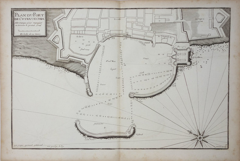
[CIVITAVECCHIA] Plan du port de Civita-Vechia.
[circa 1730]. 290 x 456 mm.
书商的参考编号 : LBW0027e
|
|
|
AYROUARD (Jacques).
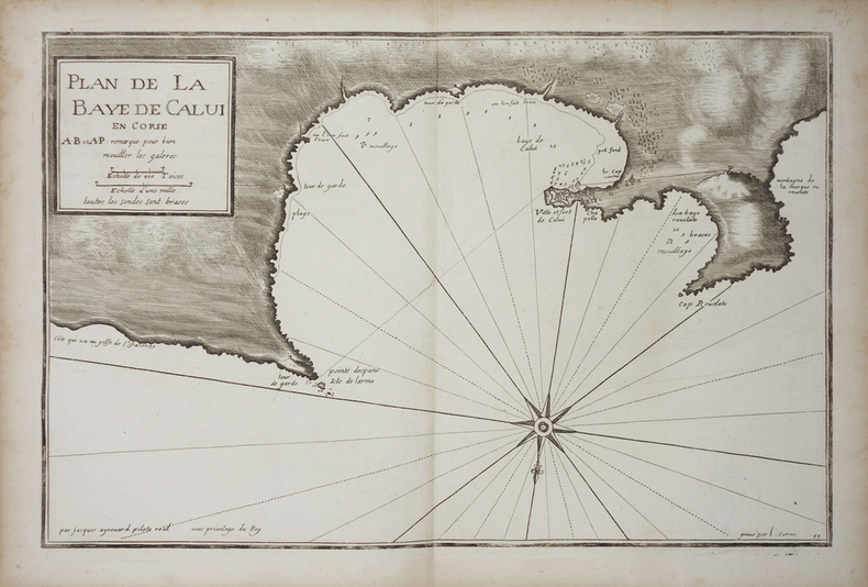
[CORSE/CALVI] Plan de la baye de Calvi en Corse.
[circa 1730]. 287 x 450 mm.
书商的参考编号 : LBW002c0
|
|
|
AYROUARD (Jacques).
[CORSE/SAINT-FLORENT] Plan du golfe de St. Fiorenzo en lisle de Corse.
[circa 1730]. 298 x 456 mm.
书商的参考编号 : LBW-3329

|
|
|
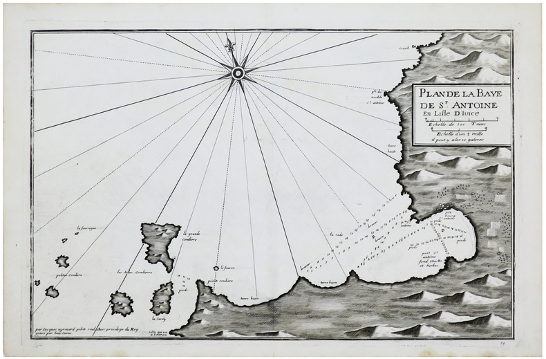
AYROUARD (Jacques).
[IBIZA] Plan de la baye de S.t Antoine en lisle d'Ivice.
[circa 1730]. 289 x 450 mm.
书商的参考编号 : LBW-6149
|
|
|
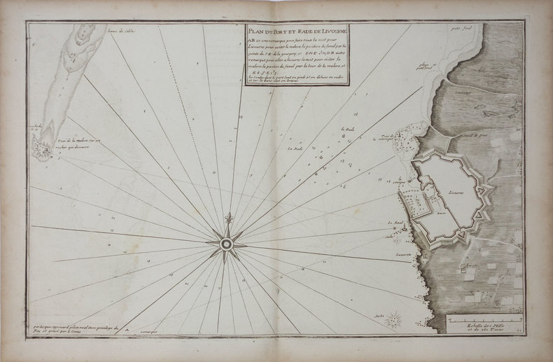
AYROUARD (Jacques).
[LIVOURNE] Plan du port et rade de Livourne.
[circa 1730]. 290 x 450 mm.
书商的参考编号 : LBW0025b
|
|
|
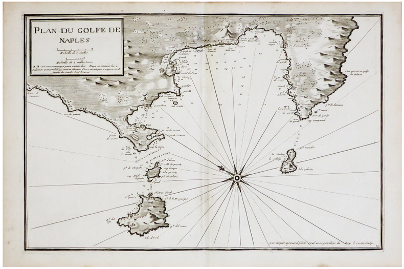
AYROUARD (Jacques).
[NAPLES] Plan du golfe de Naples.
[circa 1730]. 290 x 445 mm.
书商的参考编号 : LBW-6850
|
|
|
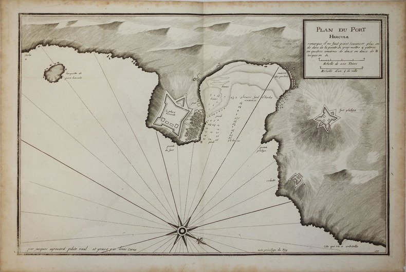
AYROUARD (Jacques);
[PORTO ERCOLE] Plan du Port Hercule.
circa 1730 296 x 458 mm.
书商的参考编号 : LBW00259
|
|
|
AYROUARD (Jacques).
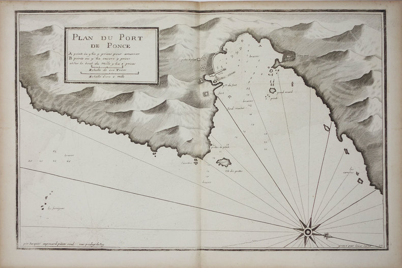
[PONZA] Plan du port de Ponce.
[circa 1730]. 299 x 457 mm.
书商的参考编号 : LBW002c9
|
|
|
AYROUARD (Jacques).
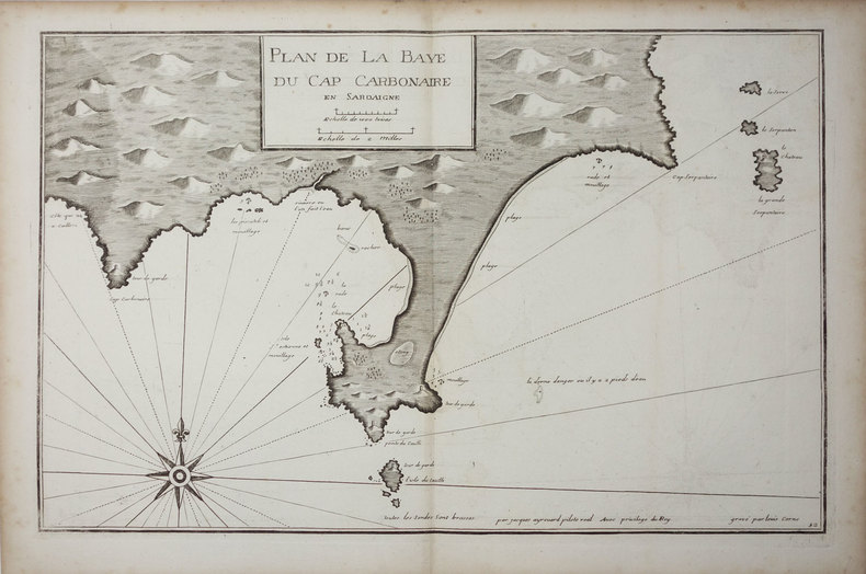
[SARDAIGNE] Plan de la baye du cap Carbonaire en Sardaigne.
[circa 1730]. 290 x 450 mm.
书商的参考编号 : LBW0025a
|
|
|
AYROUARD (Jacques).
[SARDAIGNE] Plan du passage entre lisle Azinara et le cap Azinara de Sardaigne.
[circa 1730]. 291 x 452 mm.
书商的参考编号 : LBW0025f

|
|
|
AYROUARD (Jacques).
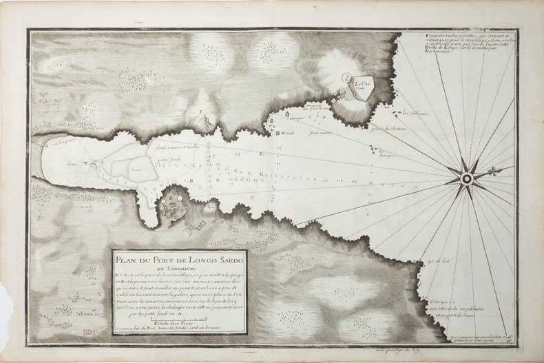
[SARDAIGNE] Plan du port de Longo Sardo en Sardaigne.
[circa 1730]. 292 x 452 mm.
书商的参考编号 : LBW00267
|
|
|
AYROUARD (Jacques).
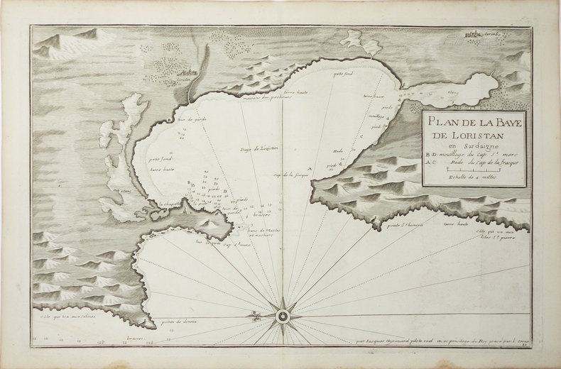
[SARDAIGNE] Plan de la baye de Loristan.
[circa 1730]. 290 x 450 mm.
书商的参考编号 : LBW00269
|
|
|
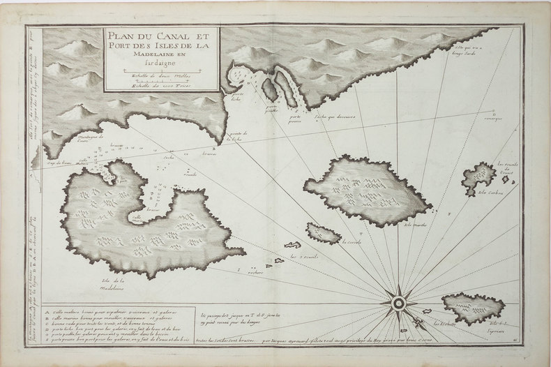
AYROUARD (Jacques).
[SARDAIGNE] Plan du canal et port des isles de la Madelaine en Sardaigne.
[circa 1730]. 293 x 454 mm.
书商的参考编号 : LBW-3327
|
|
|
AYROUARD (Jacques).
[ST-TROPEZ] Plan du golfe et des caps de St. Tropez.
[circa 1730]. 299 x 457 mm.
书商的参考编号 : LBW004e9

|
|
|
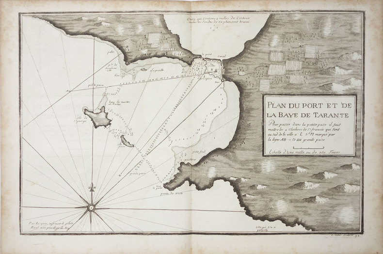
AYROUARD (Jacques).
[TARANTO] Plan du port et de la baye de Tarante.
[circa 1730]. 290 x 452 mm.
书商的参考编号 : LBW0027f
|
|
|
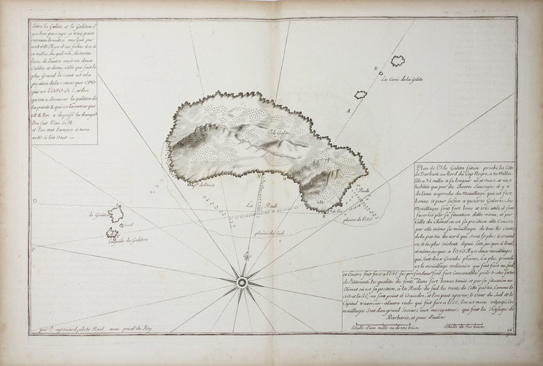
AYROUARD (Jacques).
[TUNISIE] Isle Galita.
[circa 1730]. 299 x 457 mm.
书商的参考编号 : LBW01b45
|
|
|
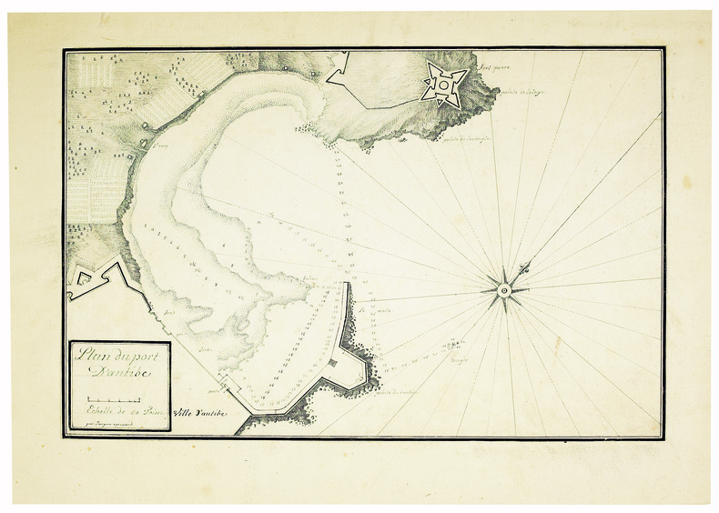
AYROUARD (Jacques). MANUSCRIT.
Plan du port d’Antibe.
[circa 1750]. 304 x 458, monté sur papier fort.
书商的参考编号 : LBW-4142
|
|
|
Azelt Johann (1654 -?)
Barhaste abbildung de unnergleichlichen statt Rom…
Rarissima veduta panoramica della città da Monte Mario, edita a Francoforte da Johann Azelt verso la fine del XVII secolo. "In questa stampa gli edifici sono ben poco riconoscibili ed il Tevere segue un errato percorso sotto Trinità dei Monti, riproponendo un errore comune a molti panorami di quest'epoca editi nel nord Europa ed evidentemente copiati uno dall'altro.. Il prototipo iniziale per questa tipologia di panorami è identificabile nel panorama inciso da Israel Silvestre nel 1642" (cfr. Marigliani p. 199). Incisione in rame, in perfetto stato di conservazione. Rarissima. A very rare panoramic view of the city from Monte Mario, published in Frankfurt by Johann Azelt towards the end of the 17th century. In this print the buildings are hardly recognisable and the Tiber follows a wrong path under Trinità dei Monti, repeating an error common to many panoramas of this period published in northern Europe and evidently copied from one another. The initial prototype for this type of panorama can be identified in the panorama engraved by Israel Silvestre in 1642"(cf. Marigliani p. 199). Copper engraving, in perfect condition. Very rare. Marigliani, "Le Piante di Roma nelle collezioni private" p. 199, 104 (erroneamente attibuita).

|
|
|
AZIZ OGAN, (One of the first Turkish archaeologists andthe founder of the Izmir Archaeological Museum and the director of Istanbul Archaeological Museums), (1888-1956).
Typescript document signed 'Aziz Ogan'.
Very Good Turkish Original TLS document signed 'Aziz Ogan' as 'the general director of Istanbul Archaeological Museums'. 32,5x21 cm. In Turkish. 1 p. Full. Typescript document with autograph corrections and signature. Including request of the photographs of listed 25 Seljuk and Ottoman architectural buildings such as mosques, fountains, hans, tombs etc. Dated 12-9-1939. Addressed to Nuri [Ebussuudoglu from the member board of the Turkish Antiquities Protection Council. Letterhead 'TC Istanbul Müzeleri Genel Direktörlügü' [i.e. The General Directory of Istanbul Museums]. Ogan was a Turkish archaeologist and museologist. He was the one of the earliest archaeologists of the Turkish Republic. He founded Izmir Archeology Museum and was the director of Istanbul Archeology Museums. He is the father of the first Turkish female archaeologist Jale Inan.
|
|
|
B.C. Hydro and Power Authority Gas Engineering Division
Corridor and Route Nomination for Vancouver Island Natural Gas System
22 pages plus 6 large, detailed fold-out maps. Summary volume of a report entitled 'Corridor and Route Nomination for Vancouver Island Natural Gas System' which described B.C. Hydro's proposed project to provide natural gas service to Vancouver Island residents and industry. Explains the reasons for nomination of a preferred corridor, and preferred route within that corridor, for a natural gas pipeline to and on Vancouver Island. This summary provides basic technical, environmental, and land use information on the routing B.C. Hydro nominated. Contents include: Introduction - Natural Gas for Vancouver Island; Reasons for the Project; Initial Route Studies; Corridor Nomination; Route Nomination; Public Consultation. Maps entitle: Existing Natural Gas Fields and Transmission Lines in B.C.; Major options for Gas Transmission System to Serve Southwestern B.C.; Bathymetry of Georgia Strait and Other Features Affecting Location of Submarine Pipelines; Factors Affecting Corridor Location; Proposed Gas Distribution Areas; Important Environmental Concerns with Nominated Corridor and Route. Unmarked. Very light wear. Excellent copy. Book
|
|
|
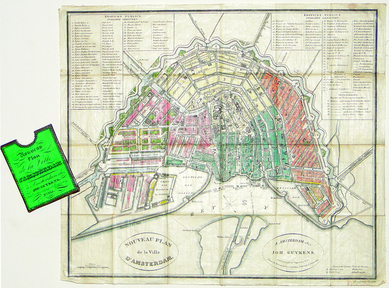
BAARSEL (Willem Cornelis van).
[AMSTERDAM] Nouveau plan de la ville d'Amsterdam.
Amsterdam, Joh. Guykens, 1839. 335 x 385 mm, imprimé sur soie et replié dans son étui d'éditeur.
书商的参考编号 : LBW-2777
|
|
|
BACHMANN (John).
[VERSAILLES] Palais et jardins de Versailles.
Paris, Lemiere, [1840]. 460 x 560 mm.
书商的参考编号 : LBW-6516

|
|
|
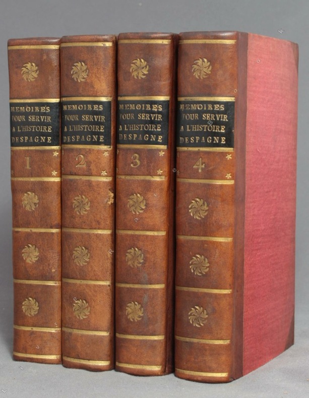
BACALLAR Y SANNA Vincent, Marquis de Saint-Philippe; [MEDAVE Louis Laurent de Féderbe comte de (trad.)]:
Mémoires pour servir à l'histoire d'Espagne, sous le règne de Philippe V. Traduits de l'espagnol.
A Amsterdam, Chez Zacharie Chatelain, 1756. 4 volumes in-12 de [8]-XXXIV-405; [2]-IV-483; [4]-437 et [4]-495 pages, demi-veau brun à coins, dos lisses ornés de fleurons, filets, étoiles et tomaison dorés, étiquettes de titre noires, tranches jaunes. Tout petit choc au dos du tome 2, rares rousseurs. Le relieur a inversé les faux-titres des volumes 3 et 4.
书商的参考编号 : 9756
|
|
|
Bachelier Charles Claude
Rome Vue Prise du Monte-Pincio/Roma Vista tomada del Monte-Pincio
Stampa litografica originale eseguita alla matita, impressa in nero e ocra, dalla bella acquerellatura coeva e con rialzi di vernice à la gomme. Sotto la parte figurata didascalie degli edifici principali della raffigurazione, indicazione dello stampatore e del litografo, nonché titolo in francese e in spagnolo. Al di sopra dell'immagine, titolo della serie di cui il foglio fa parte. Ampia veduta prospettica di Roma, colta dal Pincio, con un'accurata descrizione di Piazza del Popolo in primo piano e con la cupola di San Pietro sull sfondo. La tavola è edita a Parigi da Turgis nel 1860 circa.Charles Claude Bachelier abile artista francese paesaggista e litografo, attivo a Parigi dove espose ai Salons del 1834, 1836 e 1852. Esemplare in ottimo stato conservativo, con bellissima coloritura d'epoca. Original lithograph executed in pencil, engraved in black and ocher, in original colors.Under the image, some captions of the of the main buildings represented; the name of the printer and the lithographer, and title in French and Spanish. On top of the image, the title of the series. Large perspective view of Rome, captured from the Pincio, with an accurate description of the Piazza del Popolo in the foreground, and the St. Peter dome in the background. The plate was published in Paris by Turgis in about 1860.Charles Claude Bachelier, a French landscape artist and litograpgher, active in Paris where he exhibited at the Salons of 1834, 1836 and 1852.Example in very good condition.

|
|
|
BACON G.W.
Bacon's New Map of Central London. Divided into Half Mile Squares and Circles. Scale: Four Inches to the Mile. A RARE SURVIVAL
Folding engraved map printed on fine ivory linen, size: 21 x 28 ins (approx. 53.0 x 71.0 cms) folding in 36 panels to 6 x 3 ins (approx. 15.o x 7.5 cms), printed surface very lightly browned (rather more heavily so along central fold), a few locations marked with red ink ; original green cloth slip-case framed in blind and lettered in black 'Flexible Map of London' with deckled thumb-hole, a very good, bright copy. Covers the area from Islington (north) to Oval (south); Notting Hill (west) to Stepney (east). IN THIS CONDITION A RARE SURVIVAL. Hyde, 'Printed Maps of Victorian London', no. 201.

|
|

 ?????????
 ?????PDF???
 RSS feed
 ??
??


