|
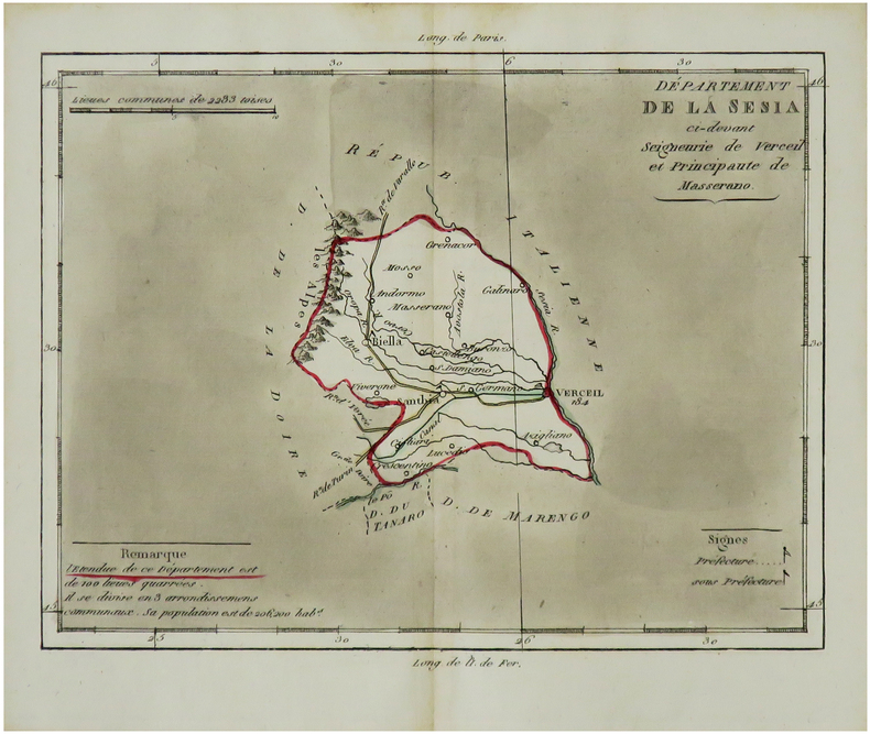
BRION de la TOUR (Louis) & LAVALLÉE (Joseph).
[SESIA/PIÉMONT] Département de la Sesia ci-devant seigneurie de Verceil et Principauté de Masserano.
[Paris, Brion, 1803]. 170 x 208 mm.
Referentie van de boekhandelaar : LBW-7300
|
|
|
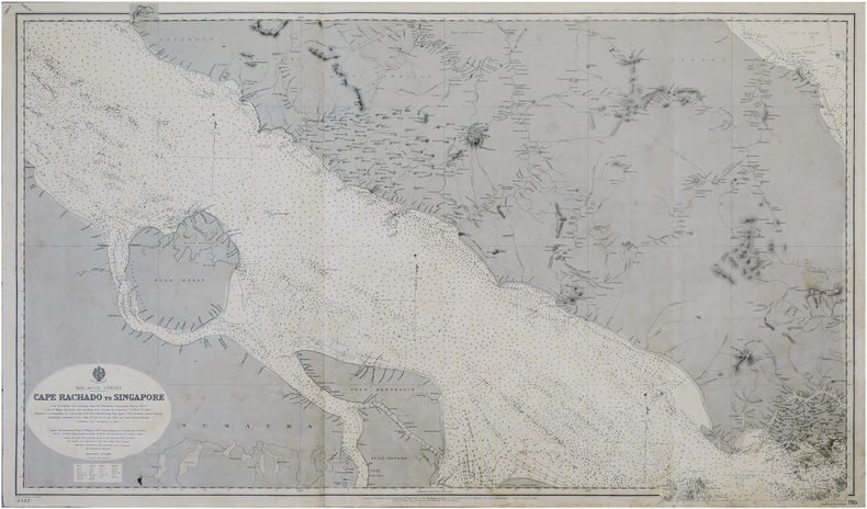
BRITISH ADMIRALTY.
[SINGAPOUR] Malacca Strait. Cape Rachado to Singapore.
London, J.D. Potter, 1896-1897. 0,66 x 1,11 m.
Referentie van de boekhandelaar : LBW-7379
|
|
|
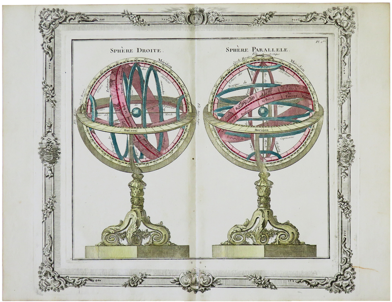
BRION de la TOUR (Louis).
[SPHÈRES ARMILLAIRES] Sphère droite - Sphère parallèle.
Paris, Desnos, 1772. 280 x 312 mm.
Referentie van de boekhandelaar : LBW-5699
|
|
|
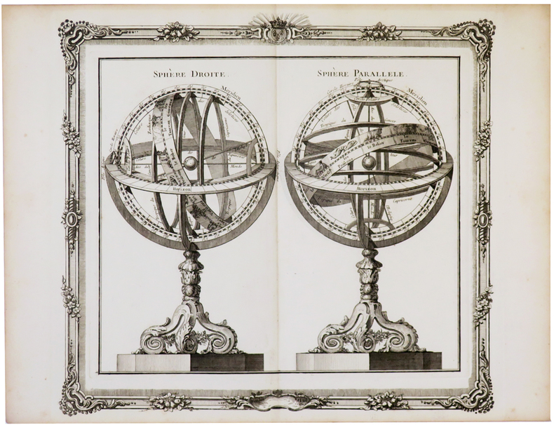
BRION de la TOUR (Louis).
[SPHÈRES ARMILLAIRES] Sphère droite - Sphère parallèle.
[Paris, Desnos, 1772]. 274 x 302 mm.
Referentie van de boekhandelaar : LBW-5733
|
|
|
BRION de la TOUR (Louis) & LAVALLÉE (Joseph).
[STURA/PIÉMONT] Département de la Stura ci-devant Marquisats de Saluces et de Cera.
[Paris, Brion, 1803]. 170 x 209 mm.
Referentie van de boekhandelaar : LBW-7299

|
|
|
BRION de la TOUR (Louis) & LAVALLÉE (Joseph).
[TANARO/PIÉMONT] Département du Tanaro ci-devant Comté d'Asti et province d'Acqui.
[Paris, Brion, 1803]. 170 x 209 mm.
Referentie van de boekhandelaar : LBW-7302

|
|
|
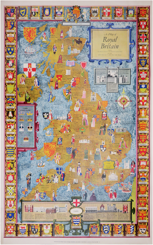
BRITISH TRAVEL and HOLIDAYS ASSOCIATION.
A map of Royal Britain.
Londres, British Travel and Holidays Association, [circa 1960]. 983 x 608 mm.
Referentie van de boekhandelaar : LBW-8445
|
|
|
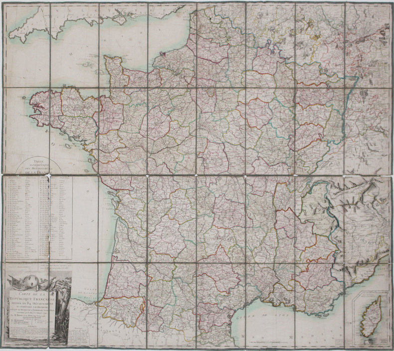
BRION de la TOUR (Louis).
Carte de la République Française divisée en 84 départemens, et subdivisée par districts, suivant le décret de l'Assemblée Nationale, sanctionné par le roi, le 15 janvier 1790.
Paris, Esnauts et Rapilly, 1793. En 32 sections montées sur toile et pliées, formant une carte de 0,99 x 1,12 m.
Referentie van de boekhandelaar : LBW-3165
|
|
|
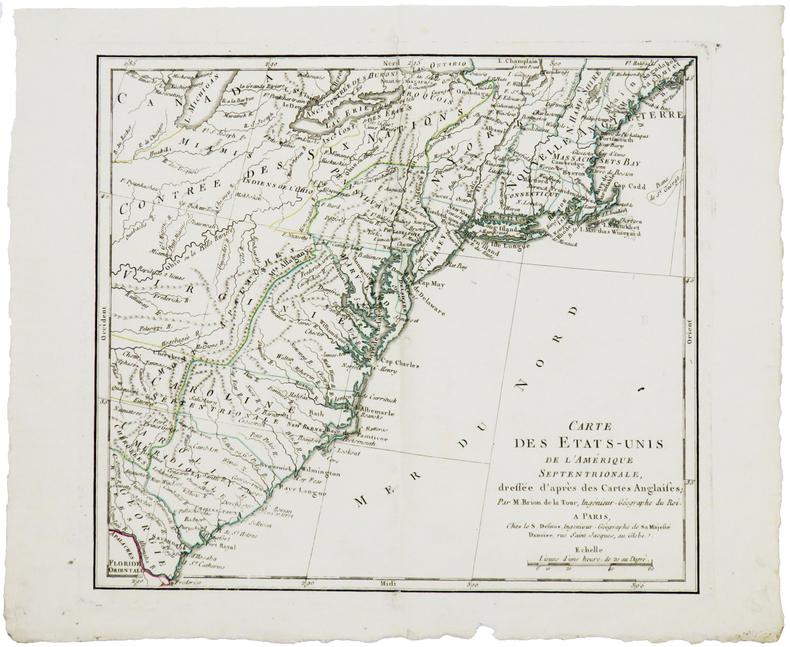
BRION de la TOUR (Louis).
Carte des États-Unis de l'Amérique septentrionale, dressée d'après les cartes anglaises.
Paris, S. Desnos, 1783. 227 x 258 mm.
Referentie van de boekhandelaar : LBW-5154
|
|
|
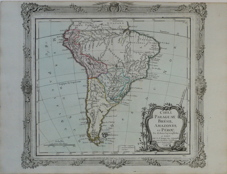
BRION de la TOUR (Louis).
Chili, Paraguay, Brésil, Amazones, et Pérou.
Paris, Sr. Desnos, 1766 [1772]. 280 x 313 mm.
Referentie van de boekhandelaar : LBW-1189
|
|
|
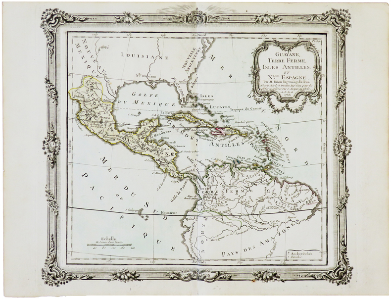
BRION de la TOUR (Louis).
Guayane, Terre Ferme, Isles Antilles et N.elle Espagne.
Paris, Desnos, 1766 [1772]. 280 x 310 mm.
Referentie van de boekhandelaar : LBW-5649
|
|
|
BRION de la TOUR (Louis).
L'Amérique dressée pour l'étude de la géographie.
Paris, Desnos, 1764 [1772]. 280 x 310 mm.
Referentie van de boekhandelaar : LBW-1199

|
|
|
BRION de la TOUR (Louis).
L'Amérique méridionale.
Paris, Esnauts et Rapilly, 1780. 752 x 526 mm.
Referentie van de boekhandelaar : LBW-5238

|
|
|
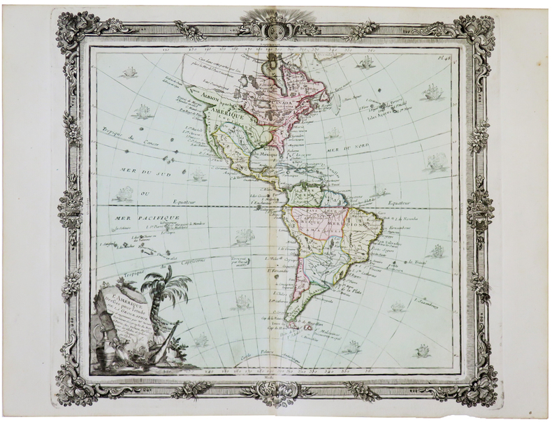
BRION de la TOUR (Louis).
L'Amérique dressée pour l'étude de la géographie.
Paris, Desnos, 1764 [1772]. 285 x 313 mm.
Referentie van de boekhandelaar : LBW-5687
|
|
|
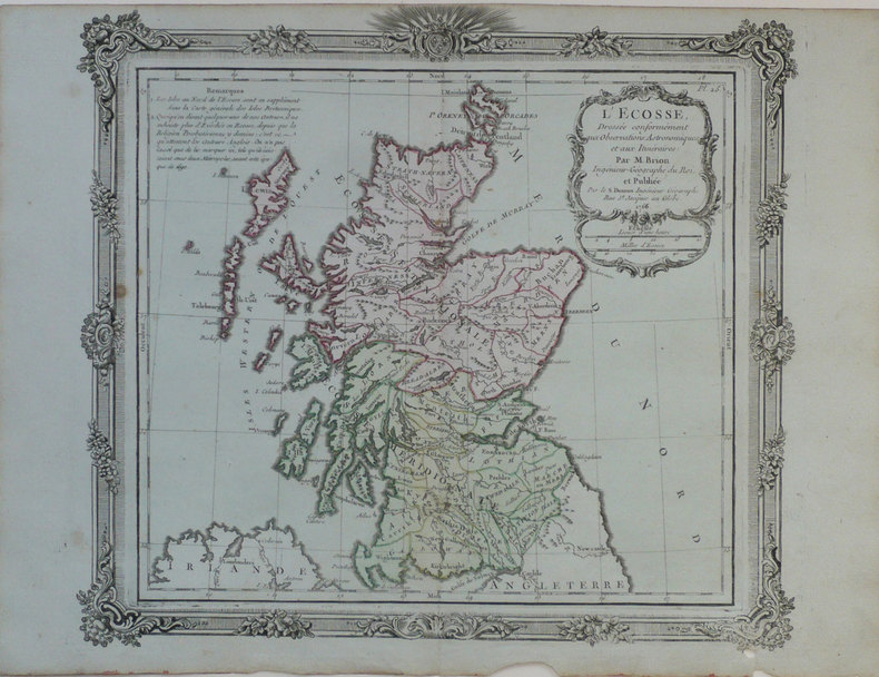
BRION de la TOUR (Louis).
L'Ecosse, dressée conformément aux observations astronomiques et aux itinéraires.
Paris, S. Desnos, 1766 [1772]. 280 x 310 mm.
Referentie van de boekhandelaar : LBW-1223
|
|
|
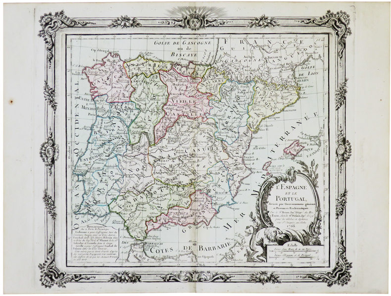
BRION de la TOUR (Louis).
L'Espagne et le Portugal.
Paris, Desnos, 1766 [1772]. 280 x 313 mm.
Referentie van de boekhandelaar : LBW-5693
|
|
|
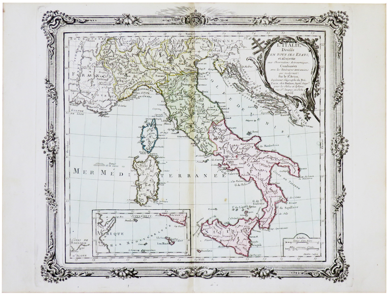
BRION de la TOUR (Louis).
L'Italie divisée en tous ses états.
Paris, Desnos, 1766 [1772]. 274 x 307 mm.
Referentie van de boekhandelaar : LBW-5650
|
|
|
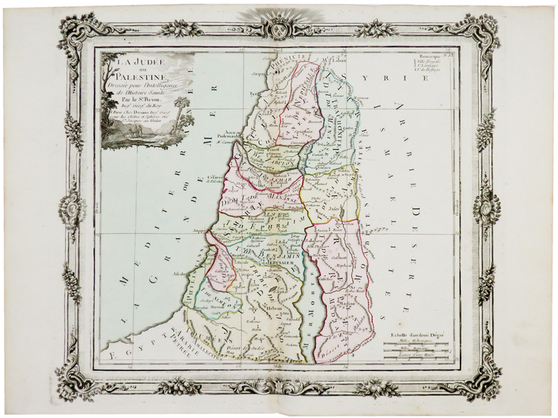
BRION de la TOUR (Louis).
La Judée ou Palestine.
Paris, Desnos, [circa 1760]. 280 x 312 mm.
Referentie van de boekhandelaar : LBW-5177
|
|
|
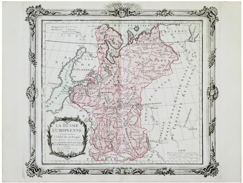
BRION de la TOUR (Louis).
La Russie européenne.
Paris, Desnos, 1766 [1772]. 279 x 313 mm.
Referentie van de boekhandelaar : LBW-5672
|
|
|
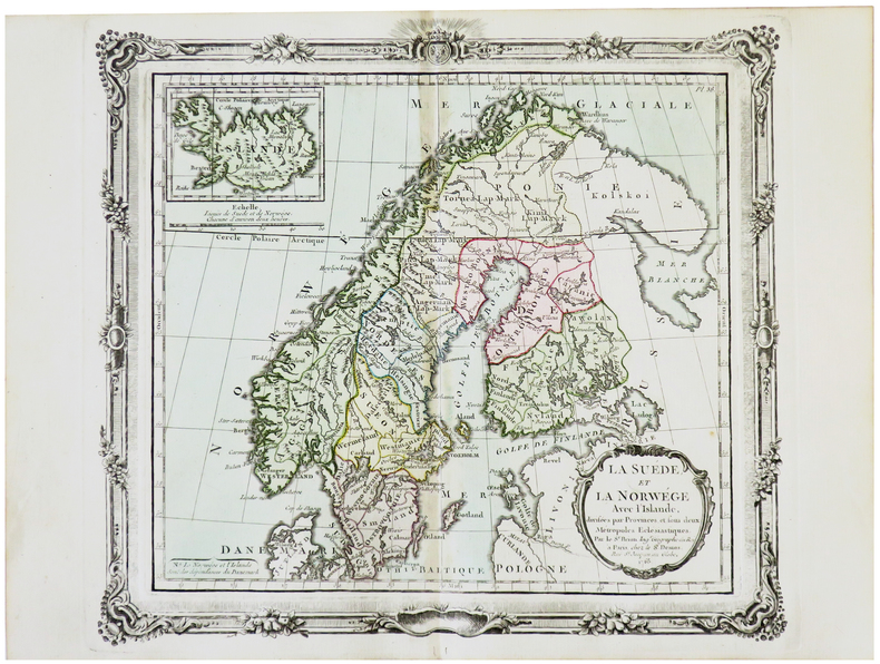
BRION de la TOUR (Louis).
La Suède et la Norwège avec l'Islande.
Paris, Desnos, 1766 [1772]. 275 x 307 mm.
Referentie van de boekhandelaar : LBW-5703
|
|
|
BRION de la TOUR (Louis).
Le Danemark divisé par provinces et diocèses.
Paris, Desnos, 1766 [1772]. 280 x 315 mm.
Referentie van de boekhandelaar : LBW-5686

|
|
|
BRIAND Pierre-César:
Les jeunes voyageurs en Europe, ou description raisonnée des divers pays compris dans cette partie du monde.
Paris, Lelong, 1823. 5 volumes in-12 de [4]-IV-251; [4]-231; [4]-239; [4]-255-[1]; 292 pages, demi-veau glacé rouge, dos lisse orné de filets et fleurons dorés.
Referentie van de boekhandelaar : 19071
|
|
|
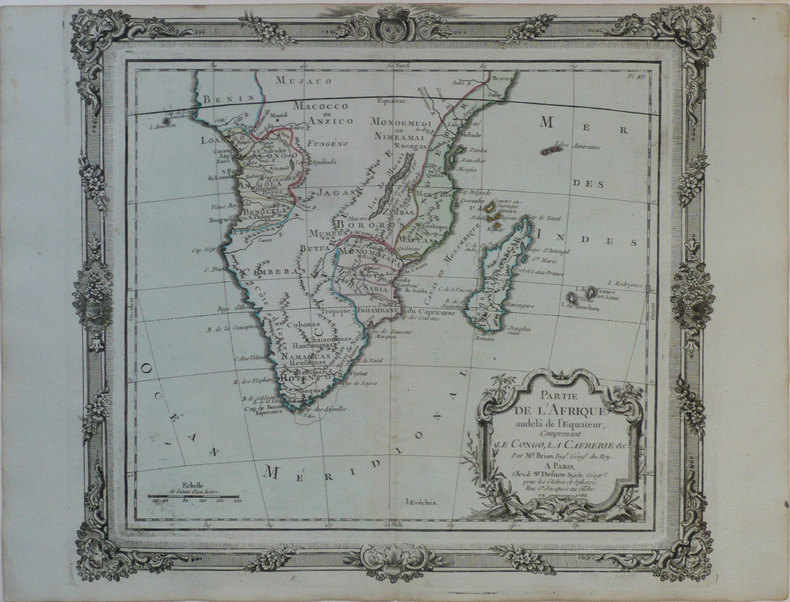
BRION de la TOUR (Louis).
Partie de l'Afrique audelà de l'équateur, comprenant le Congo, la Cafrérie &c.
Paris, Sr. Desnos, 1766 [1772]. 280 x 310 mm.
Referentie van de boekhandelaar : LBW-1186
|
|
|
BRION de la TOUR (Louis).
Partie de l'Afrique au delà de l'équateur, comprenant le Congo, la Cafrérie &c.
Paris, Desnos, 1766 [1772]. 275 x 307 mm.
Referentie van de boekhandelaar : LBW-5639

|
|
|
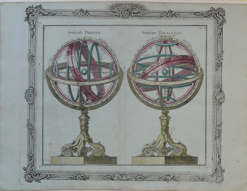
BRION de la TOUR (Louis);
Sphère droite - Sphère parallèle.
Paris Desnos 1772 280 x 310 mm.
Referentie van de boekhandelaar : LBW-1245
|
|
|
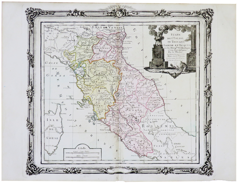
BRION de la TOUR (Louis).
États de l'Église, de Toscane, Modène et Luques.
Paris, Desnos, 1766 [1772]. 280 x 308 mm.
Referentie van de boekhandelaar : LBW-5658
|
|
|
Brian J Page, Prints and Maps
Print List - Decorative Prints and Various.
Essex England 1980. 4to. 2 pages stapled printed on pink paper. Very Good. Inventory of Prints & Maps including prices including engraved portrait of Walter Raleigh. Essex, England, [1980?] unknown
Referentie van de boekhandelaar : 77-0509
|
|
|
Briey (Deux Cartes)
La Bataille de la Frontière Août 1914
hardcover. Good. Access codes and supplements are not guaranteed with used items. May be an ex-library book. hardcover
Referentie van de boekhandelaar : 0428684831.G ISBN : 0428684831 9780428684839
|
|
|
BRIGHTON.
Plan of Brighton [with comprehensive Street Index]. W. H. Smith's Series of Reduced Ordnance Survey Maps for Tourists by J. Bartholomew. [Scale: 2.5 inches to One Mile.] FINE COPY AND A RARE SURVIVAL
8vo., folding coloured map on cloth measuring 17 x 23 inches (approx. 43 x 59 cms) folding in 18 panels to 6.5 x 4.25 inches (approx. 17 x 11 cms); original limp cloth wrappers printed in red and black, radial corners, a near fine copy. Includes comprehensive street index keyed to map. EXTREMELY SCARCE IN THIS CONDITION.
|
|
|
Brill, Edith
Portrait of the Cotswolds
No marks or inscriptions. A very clean very tight copy with bright unmarked boards, slight foxing to top of page edges and no bumping to corners. Dust jacket price clipped but not marked or creased with small nicks to upper edge and a chip to lower edge. 192pp. Same year reprint of the first edition of Edith Brill's excellent study of the Cotswolds.

|
|
|
Brion, de la Tour, L
Cercles de Bavière, de Franconie et de Souabe: divisés en toute leur Principautés et provinces. Altkolorierter Kupferstich mit Flächenkolorit.
Paris, Desnos, 1765. Blattgröße 26 x 34 cm. Bildgröße 23,3 x 26 cm.
Referentie van de boekhandelaar : 28250

|
|
|
British Columbia (B.C.) Ferries
British Columbia (B.C.) Ferries - 1968 Route Map
9" x 4" - folds out to 24" x 18". Colour map on one side shows B.C. Ferry routes. Reverse side provides details of tourist destinations with colour photos, reservation details for the sailing to Prince Rupert, corporate contact details, and a brief statement by W.A.C. Bennett. Unmarked with moderate wear. A sound copy. Book

|
|
|
British Columbia Government Travel Bureau
British Columbia Road Map 1962-1963 - With Campsite and Fishing Guide
Traditional road map measuring 20" x 40" when unfolded. One side provides a colour map of the province. The back side provides very detailed information about campsites around the province and extensive information about B.C.'s native fish as well as hunting and fishing regulations, including fees. Unmarked with moderate wear. A sound vintage copy. Map

|
|
|
British Columbia Government Travel Bureau
British Columbia Road Map 1964-1965 - With Campsite and Fishing Guide
Traditional road map measuring 20" x 40" when unfolded. One side provides colour maps of the province. The back side provides very detailed information about campsites around the province and extensive information about B.C.'s native fish as well as hunting and fishing regulations, including fees. Unmarked with moderate wear. A sound vintage copy. Map

|
|
|
British Columbia Travel Bureau
British Columbia 1959 Road Map/Travel Guide with Campsite Locations
Traditional road map measuring 31" x 24" when unfolded. Provides excellent colour map coverage of the Province as well as detailed, and now historic, information about campsites in regions around the province. Moderate wear. Four-inch opening along a fold. A quality vintage copy. Map

|
|
|
British War Office
Lille-Ghent British Military Map - Second Edition, June 1944 - Sheet No. 2
34.5" x 25" paper map. Identifies Roads, Railways, International Boundaries, Churches, Forts, Lighthouses, Woodlands. Average wear. Book

|
|
|
British War Office
World War II British Military Map of Le Havre, France N.W. 48/2
34.5" x 26.5" reinforced paper. N.W. 48/2. Geographical Section, General Staff, No. 4072. Compiled and drawn at War Office, 1940. Heliographed and printed at Ordnance Survey, 1940. Identifies Land Aerodromes, Landing Grounds, Water Aerodromes, Radioelectric Stations, Explosives Areas, and more. Average wear and soiling. Name in ink in upper right corner. Name in pencil along top edge. Cover not included. Book
|
|
|
BROÜARD.
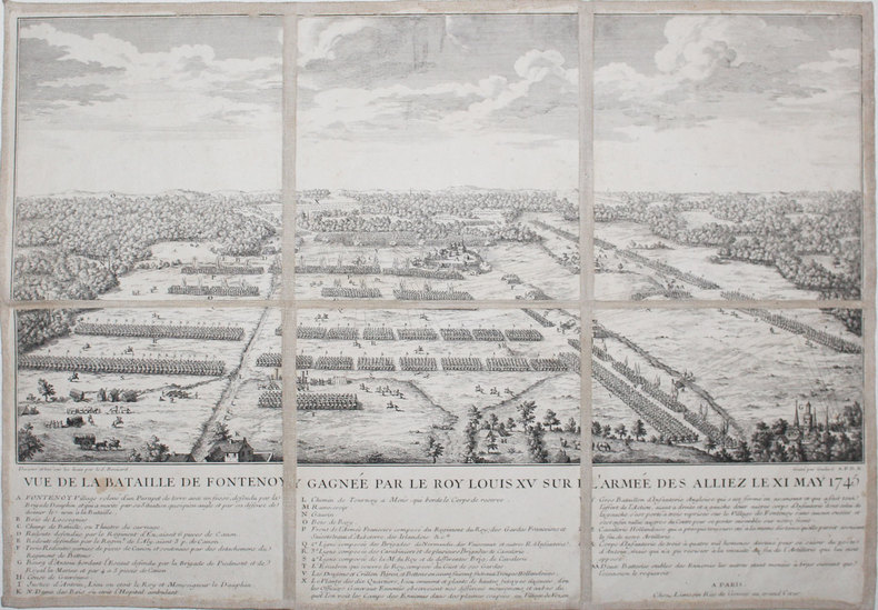
[BELGIQUE] Vue de la bataille de Fontenoy gagnée par le roy Louis XV sur l'armée des alliez le XI may 1745.
Paris, Limosin, [circa 1750]. En 6 sections montées sur toile et pliées, formant une carte de 349 x 497 mm.
Referentie van de boekhandelaar : LBW-3212
|
|
|
BROSSES (Charles de).
Histoire des navigations aux terres australes, contenant ce que l'on sçait des mœurs & des productions des contrées découvertes jusqu'à ce jour.
Paris, Durand, 1756. 2 volumes in-4, veau marbré, dos à nerfs ornés, pièces de titre et de tomaison de maroquin rouge, tranches rouges (reliure de l'époque). Traces de réparations aux charnières, 1 feuillet (T1 p. 463) et titre T2 réparés en coin, frottements, quelques brunissures et petites rousseurs. Il manque les cartes qui n'ont pas été reliées à l'époque
Referentie van de boekhandelaar : PHO-2556

|
|
|
Brodie, Bernard; Butterfield, Richard D [Maps and Drawings by]
A LAYMAN'S GUIDE TO NAVAL STRATEGY
Princeton: Princeton University Press 1942. Second Printing. Hardcover. Octavo x 291 pages. In Very Good minus condition. Spine is gray with a black box and gilt lettering. Boards have minor shelf wear and a library identification sticker on the spine. Text block has pen writing on the front end page and minor foxing on some pages. Ex-Library. Shelved in Room G. 1372836. Special Collections. Princeton University Press hardcover
Referentie van de boekhandelaar : 1372836
|
|
|
Brodrick, Alan Houghton (editor)
Normandy : The People's France
No marks or inscriptions. A very clean very tight copy with bright unmarked boards, very slight foxing to page edges and no bumping to corners. Dust jacket not price clipped or marked owith small tear/crease near upper front spine edge. Large fold-out map at rear in excellent condition. 316pp. Well illustrated study and guide for the area of Normandy in northern France. The same format as Mee's King's England.

|
|
|
Brooks, Alfred H, et al and Illustrated by Folding maps
Mineral Resources of Alaska: Report on Progress of Investigation in 1912.
Hardcover. Very Good. 1913 edition minor cover and edge wear. Previous owner's name on front flyleaf. Inside clean with no markings or writing all pull-out charts and maps very good. Nice copy satisfaction guaranteed. hardcover
Referentie van de boekhandelaar : SHB-ALASKA-03-21-19
|
|
|
Brotkarten - Cartes de pain - Tessere del pane
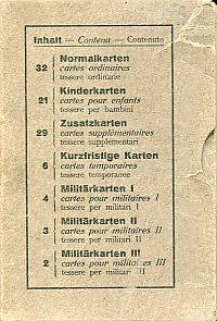
Ausgegeben von der Schweizerischen Eidgenossenschaft an die Bevölkerung 1917-1919.
16°. 102 Karten in Schuber Inhaltsverzeichnis auf Schuber in Schuber Karten altersmässig etwas angestaubt ohne Gebrauchsspuren; Schuber gebleicht mit Gebrauchsspuren; leicht beschabt; Ecken etwas bestossen Dreisprachig: deutsch französisch und Italienisch. Aus dem Inhalt: Normalkarten - Kinderkarten - Zusatzkarten - Kurzfristige Karten - Militärkarten. unknown
Referentie van de boekhandelaar : 87699BB
|
|
|
Browicz, Kazimierz
Chorology of Trees and Shrubs in South-West Asia and Adjacent Regions. Maps. Vol. 8 part 1 [and part two]. 2 Bände.
Kórnik [near Poznan], [Eigenverlag], 1989. Qu.-Fol. Mit zus. 51 Karten. OKart-Bde. m. Deckelschild.
Referentie van de boekhandelaar : 57703

|
|
|
Browicz, Kazimierz u. Jerzy Zielinski
Chorology of Trees and Shrubs in South-West Asia and Adjacent Regions. Volume one [1]. Maps.
Kórnik near Poznan, [Eigenverlag], 1978. Qu.-Fol. Mit 100 Karten. OKart. m. mont. Orig.-Fotografie am Vorderdeckel.
Referentie van de boekhandelaar : 57704

|
|
|
Browicz, Kazimierz u. Jerzy Zielinski
Chorology of Trees and Shrubs in South-West Asia and Adjacent Regions. Volume seven [7]. Maps.
Kórnik near Poznan, [Eigenverlag], 1988. Qu.-Fol. Mit 50 Karten. OKart. m. Deckelschild.
Referentie van de boekhandelaar : 57702

|
|
|
Brown MSc DipCOT SROT, Gillian [Editor]; Esdaile PhD MAPS OTR, Susan [Editor]; Ryan, Susan [Editor];
Becoming an Advanced Healthcare Practitioner
Butterworth-Heinemann 2003-04-30. Paperback. New. New. In shrink wrap. Looks like an interesting title! Butterworth-Heinemann paperback
Referentie van de boekhandelaar : Q-0750654414 ISBN : 0750654414 9780750654418

|
|
|
Brown, June
Karen Brown's Ireland : Charming Inns & Itineraries
No marks or inscriptions. No creasing to covers or to spine. A very clean very tight copy with bright unmarked boards, slight traces of storage and no bumping to corners. 243pp. Travel/accommodation guide to Ireland.

|
|
|
Brown, Ruth and Nigel Owens
York : the Picture Map and Guide
1st edition. Very good condition folded picture map and guide. ISBN 0951886908 50969. eng
|
|
|
Browne, Lewis.
STRANGER THAN FICTION. A Short History of the Jews from Earliest Times to the Present Day. With Fifty Animated Maps by the Author, Giving a Pictorial History of Centuries of Wandering.
377 p. AUTOGRAPHED BY THE AUTHOR. Illustrated with numerous maps. John J. Bataille's copy with his notes. 12mo. Original full red cloth binding, gold lettered with pictorial scene embossed in black on front board. Extremities slightly worn. Hardbound. First Edition of a famous classic. JUDAICA BOX 5
|
|

 De zoekresultaten per email ontvangen
 Zoekresultaten downloaden als PDF
 RSS feed
 Permanente link


