|
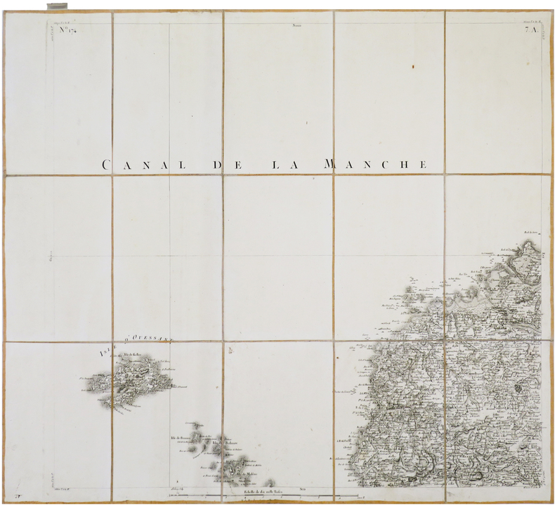
CASSINI de THURY (César-François).
[OUESSANT] Carte de Cassini. Feuille n°172/157. Île d'Ouessant.
[Paris, 1756-1789]. En 15 sections montées sur toile et pliées, formant une carte de 600 x 666 mm ; étiquette au dos de l'éditeur Auvray portant le titre manuscrit, onglet de vélin renseigné du numéro de la feuille.
Referenz des Buchhändlers : LBW-7374
|
|
|
CASSINI de THURY (César-François).
[PAMIERS/SAINT-LIZIER/SAINT-MARTORY] Carte de Cassini. Feuille n°39/20.G. Pamiers.
[Paris, circa 1810]. En 21 sections montées sur toile et repliées, formant une carte de 591 x 928 mm ; cachet à froid de l'éditeur géographe Charles Picquet dans la marge inférieure ; étiquette au dos de l'éditeur parisien Charles Simonneau portant une légende de trois couleurs.
Referenz des Buchhändlers : LBW-7905

|
|
|
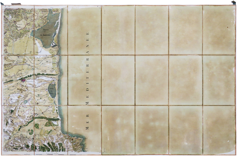
CASSINI de THURY (César-François).
[PERPIGNAN] Carte de Cassini. Feuille n°59. Perpignan.
[Paris, 1756-1789]. En 21 sections montées sur toile et pliées, formant une carte de 588 x 925 mm ; étiquette au dos portant le titre "Perpignan" et le numéro en manuscrit, onglet de soie renseigné du numéro de la feuille.
Referenz des Buchhändlers : LBW-7002
|
|
|
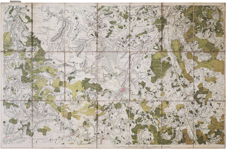
CASSINI de THURY (César-François).
[POITIERS] Carte de Cassini. Feuille n°67/92. Poitiers.
[Paris, 1770]. En 21 sections montées sur toile et repliées, formant une carte de 592 x 927 mm ; étiquette au dos du marchand de cartes de géographie Vignon, et étiquette portant le titre et le numéro en manuscrit ; onglet de vélin renseigné du numéro de la feuille et de la ville.
Referenz des Buchhändlers : LBW-8959
|
|
|
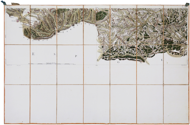
CASSINI de THURY (César-François).
[PUIGCERDÀ/PRATS-de-MOLLO] Carte de Cassini. Feuille n°177/149. Puigcerdà.
[Paris, 1756-1789]. En 21 sections montées sur toile et pliées, formant une carte de 595 x 925 mm ; étiquette au dos portant le titre "Puycerda" et le numéro en manuscrit, onglet de soie renseigné du numéro de la feuille.
Referenz des Buchhändlers : LBW-7003
|
|
|
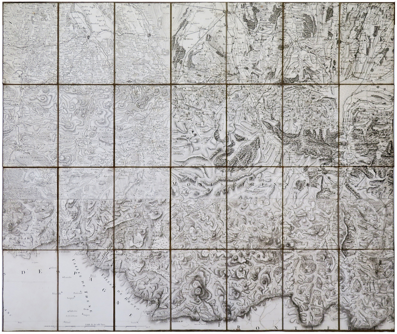
CASSINI de THURY (César-François).
[PYRÉNÉES] Carte de Cassini. Pyrénées.
[Paris, 1756-1789]. En 28 sections montées sur toile et pliées, formant une carte de 764 x 912 mm.
Referenz des Buchhändlers : LBW-5922
|
|
|
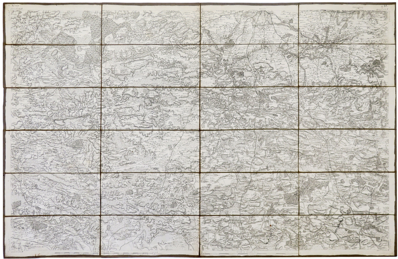
CASSINI de THURY (César-François).
[RENNES] Carte de Cassini. Feuille n°129/9.
[Paris, circa 1810]. En 24 sections montées sur toile et pliées, formant une carte de 599 x 927 mm.
Referenz des Buchhändlers : LBW-5360
|
|
|
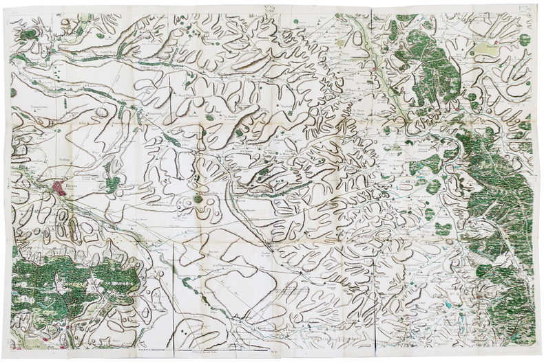
CASSINI de THURY (César-François).
[REIMS] Carte de Cassini. Feuille n°39/79.
[Paris, 1756-1789]. 575 x 890 mm ; parties coupées et bordées de soie bleue, pour que la carte puisse être facilement repliée et montée dans une reliure en veau de l'époque.
Referenz des Buchhändlers : LBW-5778
|
|
|
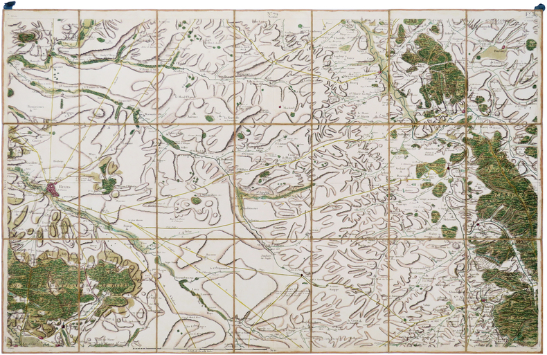
CASSINI de THURY (César-François).
[REIMS] Carte de Cassini. Feuille n°79/39. Reims.
[Paris, 1756-1789]. En 21 sections montées sur toile et pliées, formant une carte de 590 x 925 mm ; étiquette au dos portant le titre "Reims" et le numéro en manuscrit.
Referenz des Buchhändlers : LBW-7008
|
|
|
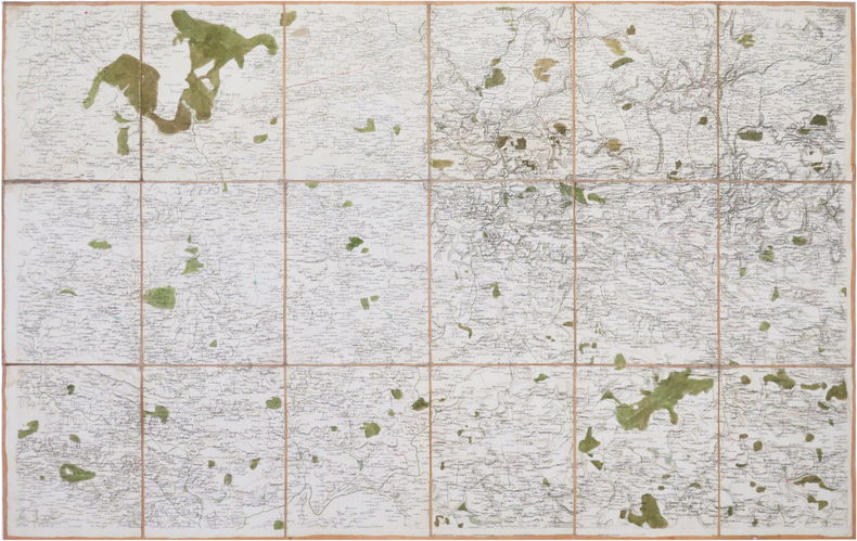
CASSINI de THURY (César-François).
[RENNES/CHÂTEAUBRIANT] Carte de Cassini. Feuille n°129. Rennes.
[Paris, 1789]. En 18 sections montées sur toile et repliées, formant une carte de 599 x 927 mm.
Referenz des Buchhändlers : LBW-8617
|
|
|
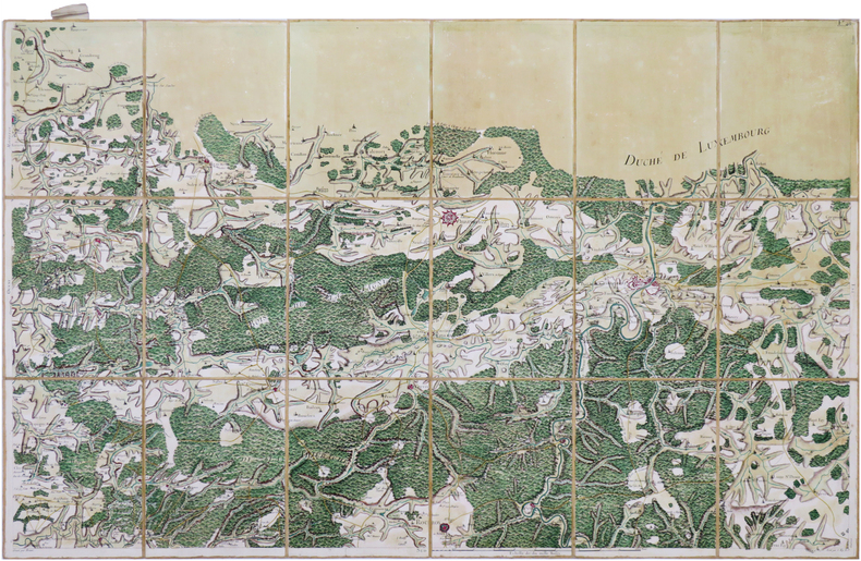
CASSINI de THURY (César-François).
[ROCROI] Carte de Cassini. Feuille n°77/40.
[Paris, 1756-1789]. En 18 sections montées sur toile et pliées, formant une carte de 586 x 929 mm ; étiquette au dos portant le titre "Rocroy" et le numéro en manuscrit, onglet de soie renseigné du numéro de la feuille.
Referenz des Buchhändlers : LBW-7023
|
|
|
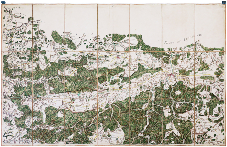
CASSINI de THURY (César-François).
[ROCROI] Carte de Cassini. Feuille n°77/40. Rocroy.
[Paris, 1756-1789]. En 21 sections montées sur toile et pliées, formant une carte de 590 x 951mm ; étiquette au dos portant le titre "Rocroy" et le numéro en manuscrit.
Referenz des Buchhändlers : LBW-7208
|
|
|
CASSINI de THURY (César-François).
[ROUEN] Carte de Cassini. Feuille n°25/8. Rouen.
[Paris], 1757. En 16 sections montées sur toile et repliées, formant une carte de 583 x 922 mm ; étiquette au dos de l'éditeur parisien Roch-Joseph Julien.
Referenz des Buchhändlers : LBW-8841

|
|
|
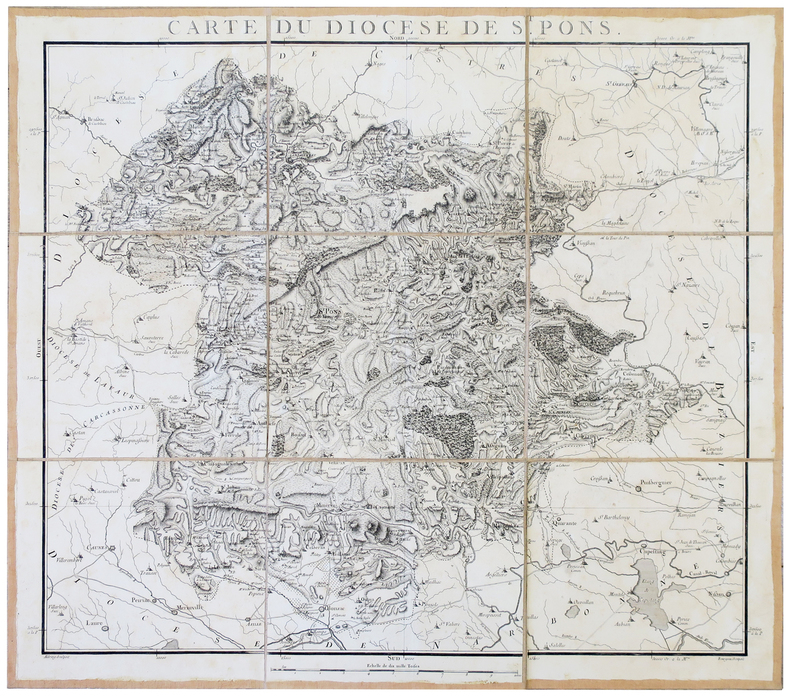
CASSINI de THURY (César-François) & CAPITAINE (Louis).
[SAINT-PONS-de-THOMIERES] Carte du diocèse de St. Pons.
[1781]. En 9 sections montées sur toile et pliées, formant une carte de 620 x 703 mm.
Referenz des Buchhändlers : LBW-2808
|
|
|
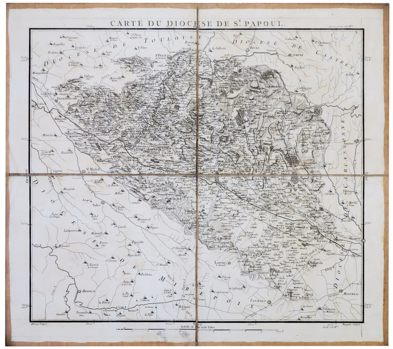
CASSINI de THURY (César-François) & CAPITAINE (Louis).
[SAINT-PAPOUL] Carte du diocèse de St. Papoul.
[1781]. En 4 sections montées sur toile et pliées, formant une carte de 471 x 533 mm.
Referenz des Buchhändlers : LBW-2809
|
|
|
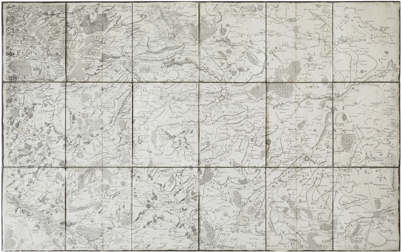
CASSINI de THURY (César-François).
[SAINT-OMER] Carte de Cassini. Feuille n°5/19. Saint-Omer.
[Paris, 1756-1789]. En 18 sections montées sur toile et pliées, formant une carte de 576 x 913 mm ; étiquette au dos de l'éditeur Auvray, onglet de vélin renseigné du numéro de la feuille.
Referenz des Buchhändlers : LBW-7378
|
|
|
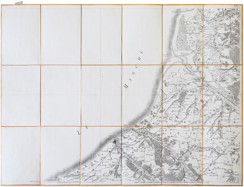
CASSINI de THURY (César-François).
[SAINT-VALÉRY-sur-SOMME/DIEPPE] Carte de Cassini. Feuille n°23/15. Saint-Valéry-sur-Somme/Dieppe.
[Paris, 1756-1789]. En 18 sections montées sur toile et pliées, formant une carte de 595 x 789 mm ; étiquette au dos de l'éditeur Charles Picquet, portant le titre "St Valery Dieppe" en manuscrit, onglet de vélin renseigné du numéro de la feuille.
Referenz des Buchhändlers : LBW-7399
|
|
|
CASSINI de THURY (César-François).
[SARLAT] Carte de Cassini. Feuille n°35/155. Sarlat.
[Paris, 1785]. En 21 sections montées sur toile et repliées, formant une carte de 587 x 922 mm ; étiquette au dos de l'éditeur parisien Charles Piquet ; onglet de vélin renseigné du titre et du numéro de la feuille.
Referenz des Buchhändlers : LBW-8437

|
|
|
CASSINI de THURY (César-François).
[SAINT-VAAST-la-HOUGUE] Carte de Cassini. Feuille n°93/21. La Hougue.
[Paris], 1758. En 18 sections montées sur toile et repliées, formant une carte de 575 x 920 mm ; étiquette au dos de l'éditeur parisien Charles Picquet.
Referenz des Buchhändlers : LBW-8632

|
|
|
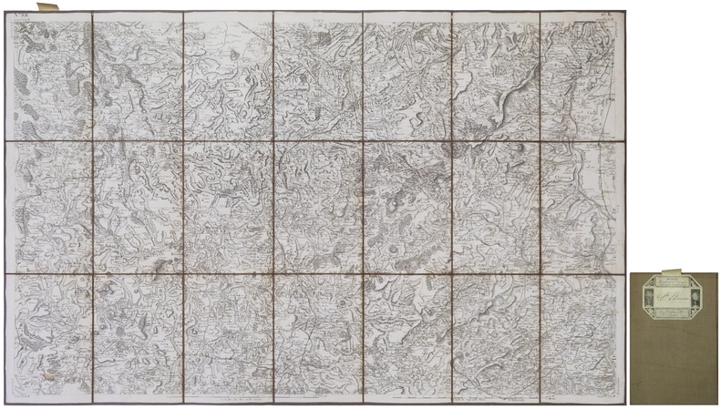
CASSINI de THURY (César-François).
[SAINT-ÉTIENNE/SAINT-MARCELLIN] Carte de Cassini. Feuille n°88/15 K. Saint-Étienne.
[Paris, circa 1810]. En 21 sections montées sur toile et repliées, formant une carte de 599 x 936 mm ; onglet de vélin renseigné du numéro de la feuille ; étiquette au dos de l'éditeur parisien Auvray portant le nom de la ville en manuscrit.
Referenz des Buchhändlers : LBW-8979
|
|
|
CASSINI de THURY (César-François).
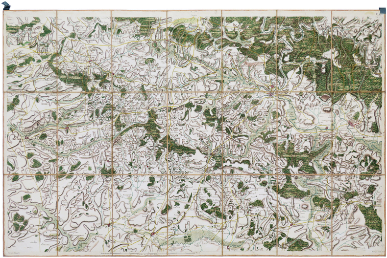
[SEDAN] Carte de Cassini. Feuille n°78/43. Sedan.
[Paris, 1756-1789]. En 21 sections montées sur toile et pliées, formant une carte de 592 x 925 mm ; étiquette au dos portant le titre "Sedan" et le numéro en manuscrit.
Referenz des Buchhändlers : LBW-6991
|
|
|
CASSINI de THURY (César-François).
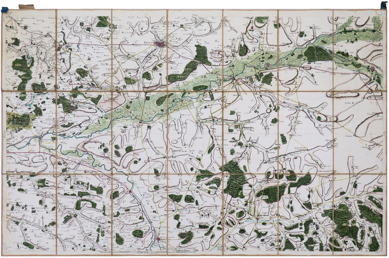
[SENS/PROVINS] Carte de Cassini. Feuille n°46/6. Sens.
[Paris, 1756-1789]. En 21 sections montées sur toile et repliées, formant une carte de 590 x 930 mm ; étiquette au dos portant le titre "Sens" et le numéro en manuscrit ; onglet de soie renseigné du numéro de la feuille.
Referenz des Buchhändlers : LBW-6992
|
|
|
CASSINI de THURY (César-François).
[SEMUR-en-AUXOIS] Carte de Cassini. Feuille n°83/10.K. Semur.
[Paris, circa 1810]. En 21 sections montées sur toile et repliées, formant une carte de 590 x 918 mm.
Referenz des Buchhändlers : LBW-8767

|
|
|
CASSINI de THURY (César-François).
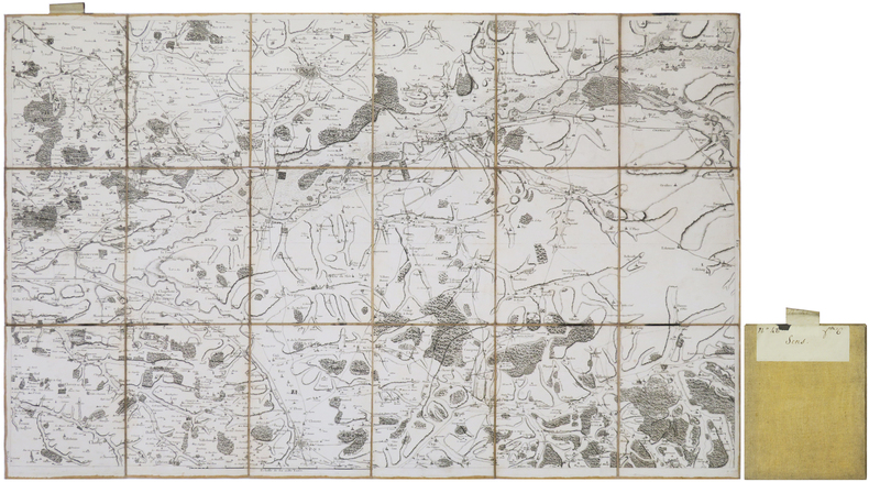
[SENS/PROVINS] Carte de Cassini. Feuille n°46/6. Sens.
[Paris, 1757]. En 21 sections montées sur toile et repliées, formant une carte de 587 x 914 mm ; étiquette au dos portant le nom de la ville et le numéro en manuscrit ; onglet de vélin renseigné du numéro de la feuille.
Referenz des Buchhändlers : LBW-8997
|
|
|
CASSINI de THURY (César-François).
[SOISSONS] Carte de Cassini. Feuille n°44/5. Soissons.
[Paris], 1757. En 18 sections montées sur toile et repliées, formant une carte de 582 x 920 mm ; étiquette au dos portant le nom de la ville et le numéro de la feuille en manuscrit.
Referenz des Buchhändlers : LBW-8925

|
|
|
CASSINI de THURY (César-François).
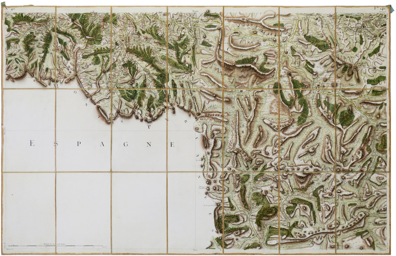
[TARASCON-sur-ARIÈGE/ANDORRE-la-VIEILLE] Carte de Cassini. Feuille n°40/140. Tarascon-sur-Ariège.
[Paris, 1756-1789]. En 21 sections montées sur toile et pliées, formant une carte de 595 x 928 mm ; étiquette au dos portant le titre "Tarascon" et le numéro en manuscrit.
Referenz des Buchhändlers : LBW-6942
|
|
|
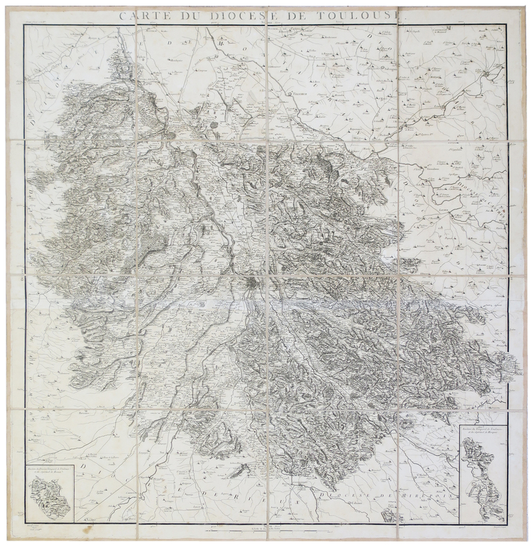
CASSINI de THURY (César-François) & CAPITAINE (Louis).
[TOULOUSE] Carte du diocèse de Toulouse.
[1781]. En 16 sections montées sur toile et pliées, formant une carte de 980 x 950 mm.
Referenz des Buchhändlers : LBW-2807
|
|
|
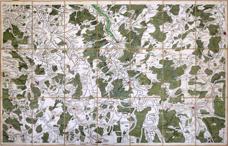
CASSINI de THURY (César-François).
[TOUL] Carte de Cassini. Feuille n°111/41.
[Paris], 1759. En 21 sections montées sur toile et repliées, formant une carte de 595 x 930 mm ; étiquette au dos du géographe Jean-Claude Dezauche, successeur de Guillaume de l'Isle et de Philippe Buache, portant le numéro de la feuille et le nom de la ville à l'encre rouge ; onglet de vélin renseigné du numéro de la feuille à l'encre rouge.
Referenz des Buchhändlers : LBW-3994
|
|
|
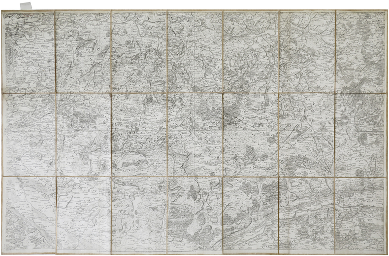
CASSINI de THURY (César-François).
[TOURS] Carte de Cassini. Feuille n°65/78. Tours.
[Paris, 1756-1789]. En 21 sections montées sur toile et pliées, formant une carte de 584 x 922 mm ; étiquette au dos de l'éditeur Auvray, onglet de vélin renseigné du numéro de la feuille.
Referenz des Buchhändlers : LBW-7381
|
|
|
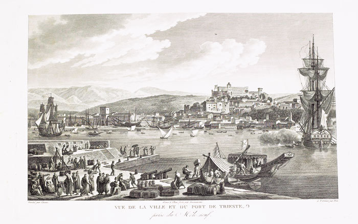
CASSAS (Louis-François).
[TRIESTE] Vue de la ville et du port de Trieste, prise du Môle neuf.
[Paris, 1802]. 270 x 405 mm.
Referenz des Buchhändlers : LBW-823
|
|
|
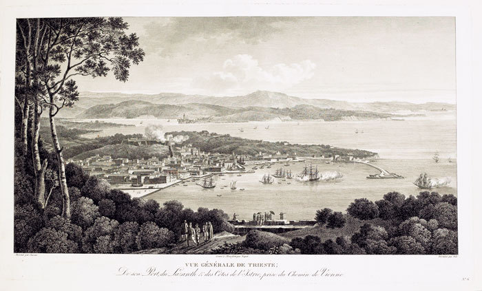
CASSAS (Louis-François).
[TRIESTE] Vue générale de Trieste, de son port, du Lazareth & des côtes de l’Istrie, prise du chemin de Vienne.
[Paris, 1802]. 266 x 451 mm.
Referenz des Buchhändlers : LBW-824
|
|
|
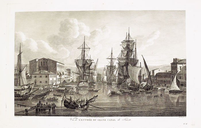
CASSAS (Louis-François).
[TRIESTE] Vue de l’entrée du grand canal de Trieste.
[Paris, 1802]. 252 x 399 mm.
Referenz des Buchhändlers : LBW-825
|
|
|
CASSINI de THURY (César-François).
[TROYES] Carte de Cassini. Feuille n°81/31. Troyes.
[Paris, 1759]. En 18 sections montées sur toile et repliées, formant une carte de 605 x 938 mm ; étiquette au dos du géographe Jean-Claude Dezauche, portant le numéro de la carte et le titre en manuscrit ; onglet de vélin renseigné du numéro de la feuille.
Referenz des Buchhändlers : LBW-8806

|
|
|
CASSINI de THURY (César-François).
[TULLE] Carte de Cassini. Feuille n°34/15.G. Tulle - Brives - Pompadour.
[Paris, circa 1810]. En 21 sections montées sur toile et repliées, formant une carte de 600 x 925 mm ; étiquette au dos du marchand d'estampes et de cartes géographiques parisien Auvray, portant les noms de Tulle, Brives et Pompadour en manuscrit.
Referenz des Buchhändlers : LBW-8989

|
|
|
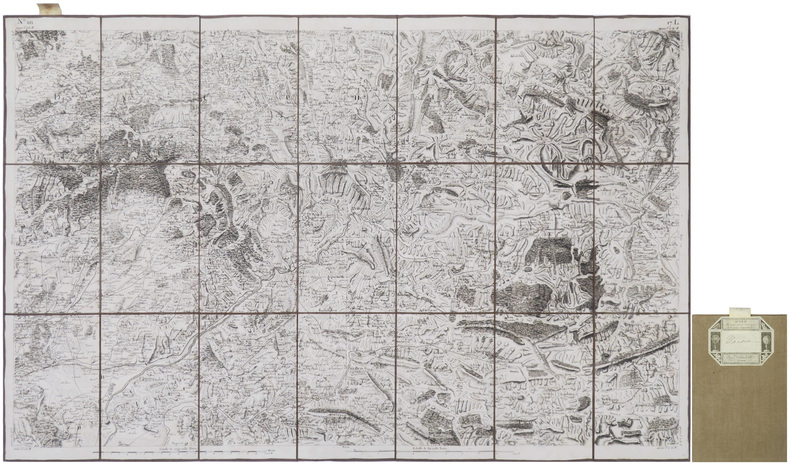
CASSINI de THURY (César-François).
[VAISON-la-ROMAINE] Carte de Cassini. Feuille n°121/17.L. Vaison.
[Paris, circa 1810]. En 21 sections montées sur toile et repliées, formant une carte de 607 x 930 mm ; onglet de vélin renseigné du numéro de la feuille ; étiquette au dos de l'éditeur parisien Auvray portant le nom de la ville en manuscrit.
Referenz des Buchhändlers : LBW-8974
|
|
|
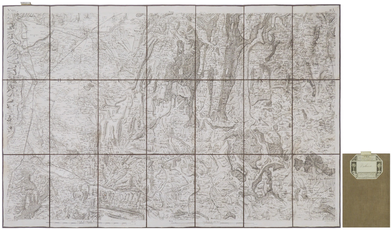
CASSINI de THURY (César-François).
[VALENCE/ROMANS-sur-ISÈRE] Carte de Cassini. Feuille n°120/16.L. Valence.
[Paris, circa 1810]. En 21 sections montées sur toile et repliées, formant une carte de 608 x 930 mm ; onglet de vélin renseigné du numéro de la feuille ; étiquette au dos de l'éditeur parisien Auvray portant le nom de la ville en manuscrit.
Referenz des Buchhändlers : LBW-9002
|
|
|
CASSINI de THURY (César-François).
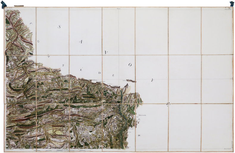
[VENCE/ENTREVAUX] Carte de Cassini. Feuille n°166/147. Vence.
[Paris, 1756-1789]. En 21 sections montées sur toile et pliées, formant une carte de 589 x 924 mm ; étiquette au dos portant le titre "Vence" et le numéro en manuscrit, onglet de soie renseigné du numéro de la feuille.
Referenz des Buchhändlers : LBW-7136
|
|
|
CASSINI de THURY (César-François).
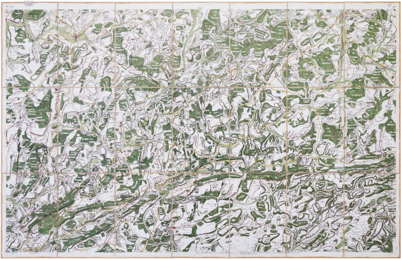
[VESOUL] Carte de Cassini. Feuille n°145/49. Vesoul.
[Paris, 1759]. En 21 sections montées sur toile et repliées, formant une carte de 592 x 926 mm ; onglet de vélin renseigné du numéro de la feuille ; étiquette au dos portant le titre et le numéro en manuscrit.
Referenz des Buchhändlers : LBW-8042
|
|
|
CASSINI de THURY (César-François).
[VENDÔME] Carte de Cassini. Feuille n°28/45. Vendôme.
[Paris, 1760]. En 21 sections montées sur toile et repliées, formant une carte de 596 x 920 mm ; étiquette au dos portant le nom de la ville et le numéro de la feuille en manuscrit, et étiquette de l'éditeur parisien Vignon ; onglet de vélin renseigné de la ville et du numéro de la feuille.
Referenz des Buchhändlers : LBW-8954

|
|
|
CASSINI de THURY (César-François).
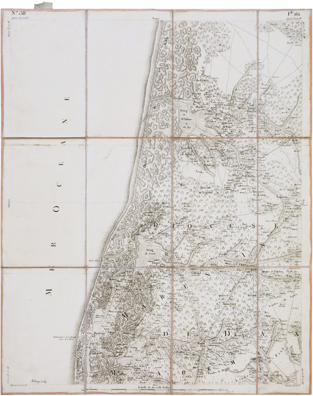
[VIEUX-BOUCAU-les-BAINS] Carte de Cassini. Feuille n°138/162. Vieux-Boucau-les-Bains.
[Paris, 1756-1789]. En 12 sections montées sur toile et pliées, formant une carte de 598 x 484 mm ; étiquette au dos de l'éditeur Charles Picquet, onglet de vélin renseigné du numéro de la feuille.
Referenz des Buchhändlers : LBW-7377
|
|
|
CASSINI de THURY (César-François).
[VIVIERS] Carte de Cassini. Feuille n°90/123. Viviers.
[Paris, 1779]. En 21 sections montées sur toile et repliées, formant une carte de 600 x 930 mm ; étiquette de l'éditeur parisien Vignon contrecollée au bas de la carte ; étiquette au dos portant le titre manuscrit au stylo bille ; onglet de vélin renseigné du titre et du numéro de la feuille.
Referenz des Buchhändlers : LBW-8418

|
|
|
CASSINI de THURY (César-François).
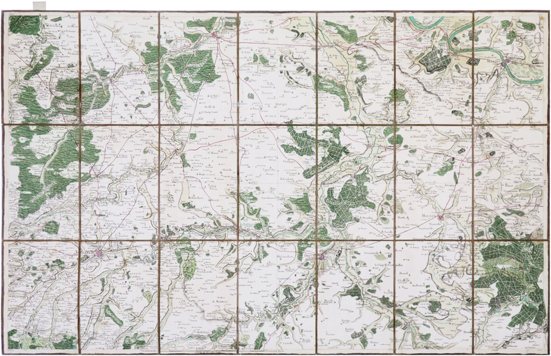
[ÉVREUX] Carte de Cassini. Feuille n°26/7. Évreux.
[Paris, 1757]. En 21 sections montées sur toile et pliées, formant une carte de 584 x 931 mm ; étiquette au dos portant le titre "Evreux" en manuscrit, onglet de vélin renseigné du numéro de la feuille.
Referenz des Buchhändlers : LBW-7359
|
|
|
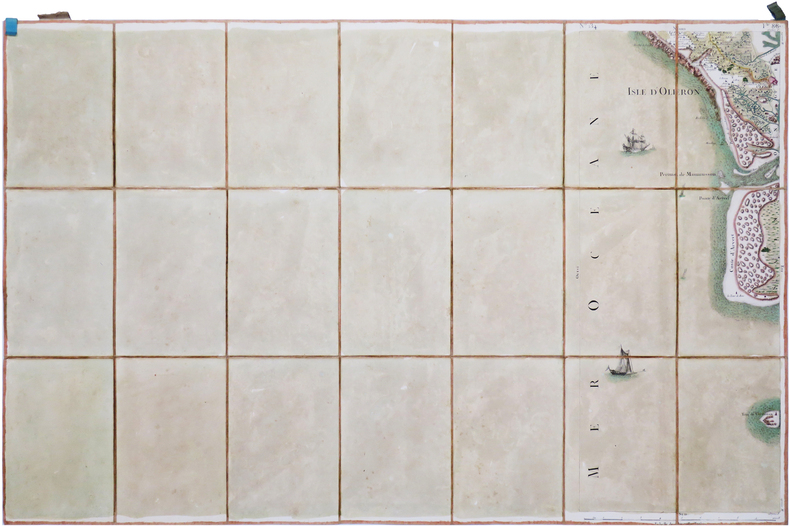
CASSINI de THURY (César-François).
[ÎLE d'OLÉRON] Carte de Cassini. Feuille n°134/88. Île d'Oléron.
[Paris, 1756-1789]. En 21 sections montées sur toile et pliées, formant une carte de 594 x 920 mm ; étiquette au dos portant le titre "Isle d'Oléron" et le numéro en manuscrit, onglet de soie renseigné du numéro de la feuille.
Referenz des Buchhändlers : LBW-7006
|
|
|
CASSINI de THURY (César-François).
[ÎLE de RÉ & LA ROCHELLE] Carte de Cassini. Feuille n°133/86. Île de Ré. [et] Carte de Cassini. Feuille n°101/97. La Rochelle.
[Paris, circa 1769-1771]. 0,57 x 1,32 m hors cadre ; sous cadre moderne.
Referenz des Buchhändlers : LBW-8768

|
|
|
CASSINI.
Bourg en Bresse : Carte N° 117
toilée. Paris
Referenz des Buchhändlers : 12400
|
|
|
CASSINI
Cartes N° 112, 142, 144, 163 correspondant à : Colmar, Nancy, Luxeuil et Joinville,
1790 étui en cartonnage parcheminé vert, piece de titre rouge. toile vieux rose, coloriées
Referenz des Buchhändlers : 6884
|
|
|
CASSINI
Carte N° 152 : Laragne , Embrun.
Carte 590 x 1170 mm., toile saumon XVIIIe.
Referenz des Buchhändlers : 11535
|
|
|
CASSINI
Carte N° 166 Vence
toile saumon XVIIIe. H 59 L 66 cms.
Referenz des Buchhändlers : 11536
|
|
|
CASSINI
Carte N° 167 Fréjus Antibes.
toile saumon XVIIIe. H 60 L 53 cms.
Referenz des Buchhändlers : 11539
|
|
|
CASSINI.
Carte N°46 : Provins, Sens, Nogent, Montereau
couleurs, carte toilée,
Referenz des Buchhändlers : 11860
|
|

 Per e-mail erhalten
 Als pdf-Dokument herunterladen
 RSS feed
 Permanenter link


