|
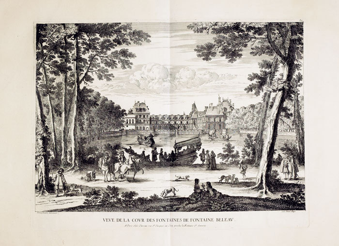
CHÉREAU (Jacques).
Veue de la cour des fontaines de Fontaine Beleau.
Paris, Chéreau, [circa 1760]. 367 x 484 mm.
Riferimento per il libraio : LBW-624
|
|
|
CHÉREAU (Jacques).
Veüe du chasteau de Meudon du côté de l'entré.
Paris, Charpentier, [circa 1760]. 336 x 516 mm.
Riferimento per il libraio : LBW-623
|
|
|
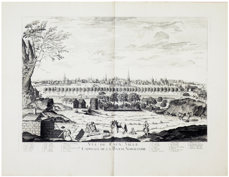
CHÉREAU (Jacques).
Vue de Caen, ville capitale de la Basse Normandie.
[Paris, Chéreau, circa 1760]. 383 x 525 mm.
Riferimento per il libraio : LBW-460
|
|
|
CHÉREAU (Jacques).
Vüe et perspective du château de Chantilly du côté de la cour.
Paris, Charpentier, [circa 1760]. 340 x 510 mm.
Riferimento per il libraio : LBW-425
|
|
|
CHÉREAU (Jacques);
[CHAMBORD] Vüe de Chambor.
Paris Charpentier 1760 circa 338 x 505 mm.
Riferimento per il libraio : LBW-416

|
|
|
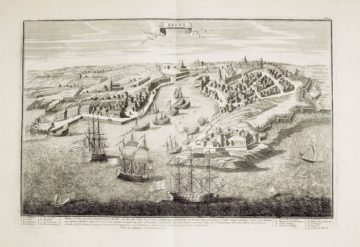
CHÉREAU (Jacques);
Brest.
Paris Charpentier 1760 circa 342 x 508 mm.
Riferimento per il libraio : LBW-461
|
|
|
CHÉREAU (Jacques);
Elévation et perspective de l'église cathédrale de St. Paul de Londres vuë de côté.
Paris Chéreau 1761 344 x 531 mm.
Riferimento per il libraio : LBW-686
|
|
|
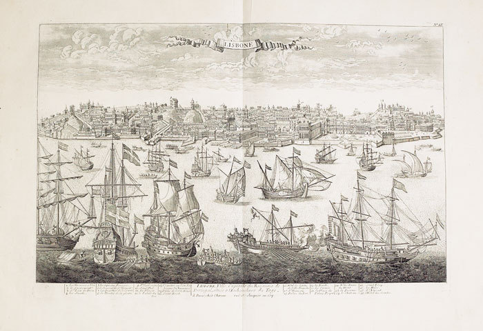
CHÉREAU (Jacques);
Lisbone ville capitale du royaume de Portugal située à l'embouchure du Tage.
Paris Chéreau 1760 circa 346 x 515 mm.
Riferimento per il libraio : LBW-517
|
|
|
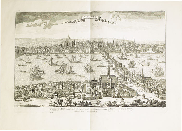
CHÉREAU (Jacques);
Londres ville capital du royaume d'Angleterre.
1760 circa 342 x 516 mm.
Riferimento per il libraio : LBW-685
|
|
|
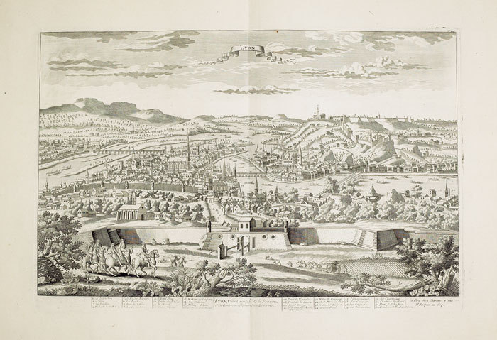
CHÉREAU (Jacques);
Lyon, ville capitale de la province et du gouvernem.t général du Lyonois.
Paris Chéreau 1760 circa 340 x 512 mm.
Riferimento per il libraio : LBW-434
|
|
|
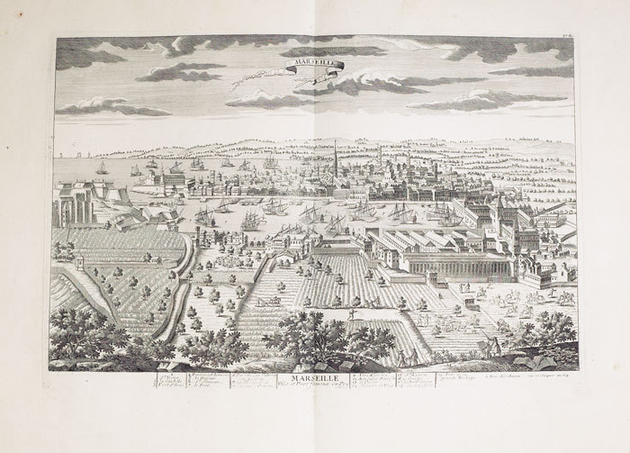
CHÉREAU (Jacques);
Marseille, ville et port fameux en Provence.
Paris Chéreau 1760 circa 342 x 512 mm.
Riferimento per il libraio : LBW-495
|
|
|
CHÉREAU (Veuve).
[NAPOLÉON] Bivouac des troupes russes aux Champs Elisées à Paris au 31 mars 1814.
Paris, Ve Chéreau, [circa 1814]. 285 x 378 mm.
Riferimento per il libraio : LBW-2955

|
|
|
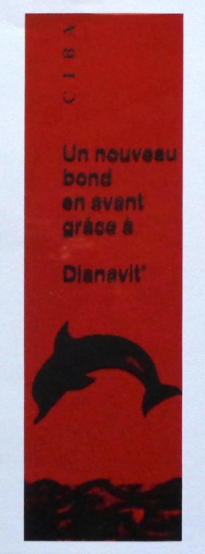
CIBA:
Un nouveau bond en avant grâce à Dianavit - Marque page (rouge).
Marque page translucide au format 6 x 20 cm. Translucide disions-nous: le marque-page est en parfait état, c'est par transparance que l'on devine les noeuds du plateau de bois sur la photo :-)
Riferimento per il libraio : 6330
|
|
|
Cimok, Fatih
Biblical Anatolia: From Genesis to the Councils
Book is in excellent condition. Binding is solid and square, covers have sharp corners, exterior shows no blemishes, text/interior is clean and free of marking of any kind. 203 pages with color illustrations throughout.
|
|
|
CIRAGE LION NOIR.-
Jeu publicitaire de cartes miniatures.-
Le Lion Noir. S. d.- Jeu miniature (34 x 49mm) de 31 cartes sur 32, (la dame de trèfle manque), publicité au dos. Très bon état.
Riferimento per il libraio : ORD-2315
|
|
|
CIRIONI A
AH! LES BEAUX ENFANTS- CARTES POSTALES ANCIENNES- ANTIQUITE BROCANTE
LVA. 2006. In-4. Broché. Etat d'usage, Couv. légèrement passée, Dos satisfaisant, Intérieur frais. 119 pages d'illustrations en monochrome dans le texte (légendes). . . . Classification Dewey : 741.68-Illustrations des cartes postales
Riferimento per il libraio : R200052064 ISBN : 284567354
|
|
|
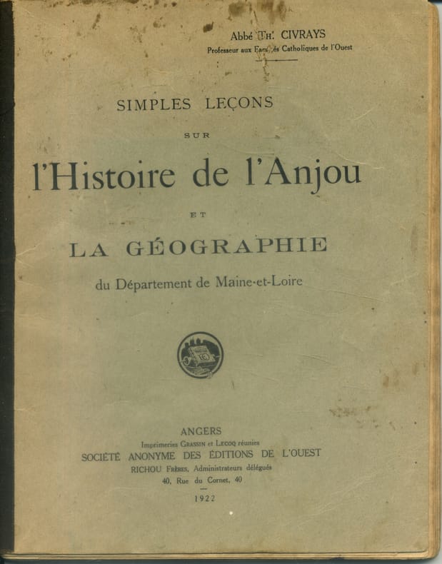
CIVRAYS Th. (Abbé) Illustré, cartes hors texte.
Simples leçons sur l'histoire de l'Anjou et la géographie du département de Maine-et-Loire.
Couverture souple. Broché. 96 pages. Légèrement défraîchi. Rousseurs. Réparation à la carte de l'Anjou.
Riferimento per il libraio : 141712
|
|
|
CLAPHAM H
Monte Carlo up to Date. With four entirely original methods of play, the only ones that can succeed under the present changed rules.
Slnd, in8br, 48pp , mouillures sur la couverture et quelques pages.
Riferimento per il libraio : M5094
|
|
|
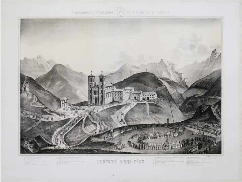
CLAPPIÉ et FILS.
[ISÈRE/NOTRE-DAME DE LA SALETTE] Panorama du pélerinage de N. Dame de La Salette. Souvenir d'une fête.
Lyon, Clappié et Fils, [circa 1870]. 517 x 667 mm.
Riferimento per il libraio : LBW-8919
|
|
|
Clarence Edwin (editor/compiler) Carter; Illustrator-bw maps
Territorial Papers of the United States: The Territory of Alabama 1817-1819 vol. 18
Government Printing Office 1952. Hardcover. Very Good. xiii 875 p.; 26 cm. Blue cloth. Good binding and cover. Shelf wear. Clean unmarked pages. Government Printing Office hardcover
Riferimento per il libraio : 1204090009
|
|
|
CLARETIE Jules
Histoire de la Révolution de 1870-1871.
Histoire de la Révolution de 1870-1871. Chute de l’Empire- La guerre- Le gouvernement de défense nationale- La paix- le siège de Paris- La Commune de Paris ; Un volume in 8 290x200mm. demi-cuir vert, faux-titre, portrait de l’auteur en frontispice, titre, 796 pages, texte sur 2 colonnes nombreuses illustrations dans le texte et à pleine page, scènes, portraits, cartes, plans, autographes, Aux bureaux du journal l’Eclipse 1872.
Riferimento per il libraio : 13438

|
|
|
Clarke, Edward Daniel (Text by); S I Neele, H Mutlow (Maps and plans engraved by); Joseph Skelton, R Pollard, Laetitia and Eliza
Travels in Various Countries of Europe Asia and Africa: Part The First Russia Tartary and Turkey 1810; Part The Second Section The First Greece Egypt and The Holy Land 1812; Part The Second Section The Second Greece Egypt and The Holy Land 1814; Part The Second Section The Third Greece Egypt and The Holy Land To Which is Added a Supplement Respecting the Author's Journey from Constantinople to Vienna. Containing His Account of the Gold Mines of Transylvania and Hungary 1816; Part The Third Section The First Scandinavia 1819; Part The Third Section The Second Scandinavia 1823. WITH 185 COPPER PLATES AND 157 VIGNETTES AND CUTS. 6-vol. set Complete
London: T. Cadell and W. Davies 1823. First edition. Hardcover. g to vg. Large quarto 11 1/4 x 9". 2 xxviii xxiii 1 812pp; xix 13 715pp 1pp Errata 2pp Publisher's advertisement; 2 xv 12 20 822pp; 2 xx 14 735pp 1pp Errata; xii 14 763pp 1pp Errata; 2 iv 14 555 1pp. Modern half black morocco over dark grey cloth with gold lettering and ruling to spines. Raised bands. First volume with a striking tissue-guarded frontispiece portrait of the author engraved by Richard Golding after a painting by John Opie. Tissue-guarded engraved frontispiece in each volume.<br /> <br /> First edition of Edward Daniel Clarke's magnum opus "Travels in Various Countries of Europe Asia and Africa" the author's personal account of a fascinating journey throughout three continents. <br /> <br /> Following a tour of Scandinavia in 1799 Edward Daniel Clarke 1769-1822 travelled through Russia and the Crimea before proceeding to Constantinople Rhodes and afterwards Egypt and Palestine. Greece was the country next visited. While touring this country Clarke as a mineralogist and antiquary collected marbles coins and vases and purchased a large ancient statue at Eleusis. From Athens he proceeded by land to Constantinople and after a short stay in that city directed his course homewards through Rumelia Austria Germany and France.<br /> <br /> Each of the six volumes is lavishly illustrated throughout with numerous in-text vignettes and woodcuts as well as full-page copper plates many folded depicting views monuments natives in traditional costume ceremonies and processions antiquities etc. Includes several folded maps and charts. All the 185 copper plates and 157 vignettes and cuts are accounted for.<br /> <br /> Plates engraved by Joseph Skelton R. Pollard Laetitia and Elizabeth Byrne F. R. Hay J. Fittler and R. Cooper after illustrations by E. D. Clarke Angelica Clarke Guarenghi Martin Dreier W. Havell Camporesi J. B. Lusieri Morritt W. Harraden Grelot Fauvel G. Wilkins Henry Wrighte and Preaux. Most of the delightful vignettes were engraved by Elizabeth and Laetitia Byrne. The maps and plans were engraved by S. I. Neele and H. Mutlow.<br /> <br /> Some offsetting to text pages facing plates. Moderate to heavy foxing to plates throughout. Minor foxing to text pages. Sporadic clear water-staining along edges of plates in second volume Part 2 section 1. Ex-library copy with perforating library stamp to each title page and small reference stamp at inner gutter of the first text leaf of each volume not affecting lettering. Bindings in overall very good interior in good to very good condition. T. Cadell and W. Davies hardcover
Riferimento per il libraio : 42750

|
|
|
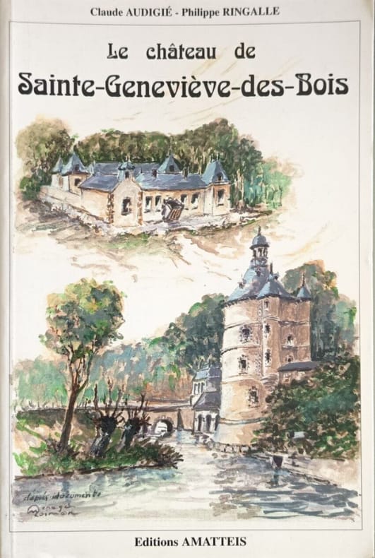
Claude Audigé - Philippe Ringallé
Ste Genevieve-des-Bois le Chateau
Editions AMATTEIS 1994 190 pages in8. 1994. Broché. 190 pages. Ce livre retrace l'histoire du château de Sainte-Geneviève-des-Bois aujourd'hui disparu en proposant notamment le journal de l'année 1785 comme source documentaire importante
Riferimento per il libraio : 12117
|
|
|
CLAYE
Carte au 1/20 000?me. Fin XIXe.
Une feuille. 64x46 cm.
|
|
|
CLERC-RAMPAL G.; BERGET A. (préf.):
La mer. La mer dans la nature. La mer et l’homme.
Paris, Lib. Larousse, 1930. 1 vol. in-4 de VIII, 302, [1 f.] p. Demi-chagrin marron, dos lisse orné, plats de percaline verte ornés à froid. Coins inférieurs frottés, belle condition générale.
Riferimento per il libraio : 2818

|
|
|
Clermont, De Merveilleux, Beauvoir (sript.), Perrier (grav.):
Carte des Comtés de Neuchâtel et de Vallangin. Dressée d'après les observations de l'Académie Royale des Sciences et la carte de D. F. de Merveilleux de Neuchâtel par le Sieur Clermont.
1779. Carte au format 65 x 49 (feuille). Quelques rousseurs dans les marges, pliée en 3.
Riferimento per il libraio : 20234

|
|
|
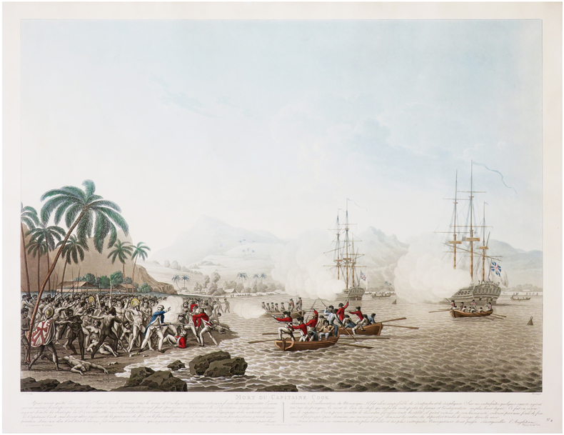
CLEVELEY (John) & PIRINGER (Benedikt).
[HAWAÏ] Mort du capitaine Cook.
Paris, Bance ainé, [circa 1800]. 465 x 601 mm.
Riferimento per il libraio : LBW-8199
|
|
|
Clifford Hugh. Bartholomew J. G. Maps by. Crocco M. Di Preface
FURTHER INDIA. Being the Story of Exporation from the Earliest Times in Burma Malaya Siam and Indo- China
Bankok: White Lotus Co 1990. 1st Edition. Illustrated laminated wrappers with black title lettering printed to front wrapper and spine. Last page is dog-eared PO stamp to preliminary title page. A VG copy. xi 1 blank 378 2 pp including appendix. Many b/w illustrations and maps. One fold-out image. 8-1/2" x 6" <br/><br/> White Lotus Co unknown books
Riferimento per il libraio : 34882

|
|
|
CLOT-BEY A.-B. [Antoine Barthélémy]:
Aperçu général sur l'Egypte.
Paris, Fortin, Masson et Cie, 1840. 2 volumes in-8 de [4]-360-[2]-6 (catalogue) et [8]-570-[2] pages, demi-chagrin noir, dos à 4 petits nerfs avec titre et tomaison dorés et encadrements à froid, tranches mouchetées. Reliure un peu frottée, rares rousseurs, tampon répété aux pages de titre et sur ff. vierges.
Riferimento per il libraio : 10343

|
|
|
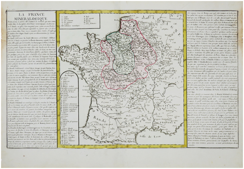
CLOUET (Jean-Baptiste Louis, l'abbé).
[MINÉRALOGIE] La France minéralogique.
[Paris, Mondhare, circa 1790]. 320 x 550 mm.
Riferimento per il libraio : LBW-7581
|
|
|
CLOUET Jean Baptiste Louis L'Abbe (Attivo intorno al 1760)
Mappamonde ou Globe Terrestre
Primo stato di questa non comune carta del mondo del XVIII secolo, successivamente ristampata nel 1775 e 1787. La carta mostra le numerose esplorazioni del secolo ed è altamente decorativa. La carta è largamente più conosciuta per la sua comune ristampa del 1787, curata dall'editore Louis Joseph Mondhare, che raffigura la scoperta delle Hawaii (Isole Sandwich o Why, come indicato sulla mappa), le esplorazioni nella costa nord-occidentale dell'America e quelle dei viaggi di Cook (1773,1775, 1776, 1777, 1777, 1778), Jean Baptiste Louis Clouet era membro dell'Accademie Royale des Sciences di Rouen e fu autore della Geographie Moderne (1767). Acquaforte, in ottimo stato di conservazione. Magnifico esemplare in piena coloritura coeva. First state of this uncommon World map with the major 18th century explorers. Rare separately published double hemisphere map of the world, issued by Clouet in Paris. The map is largerly known for his second and common issue by Louis Joseph Mondhare (1787) showing the discovery of Hawaii (Ile Sandwich ou Why, as named on the map) and explorations in the Northwest Coast of America are quite prominent, and the major 18th century explorers like Cook (1773,1775, 1776, 1777, 1778). Jean Baptiste Louis Clouet (born 1730) was a member of the Academie Royale des Sciences de Rouen and the author of Geographie Moderne (1767). Etching with full contemporary colour, very good conditions.

|
|
|
Clouet, Jean-Baptiste-Louis (1730-17..?). Auteur du texte
LA FRANCE MINERALOGIQUE [Document cartographique] 1771
Paris 1780 carte ancienne colorée d'époque en vert et jaune. Format total : 39 centimètres de haut par 55 centimètres de large, [S.l.] : [s.n.], [s.d.] (1780) d'après la méthode de Guettard ,
Riferimento per il libraio : 27406
|
|
|
CLOUÉ (Georges-Charles).
[LA RÉUNION] Carte des côtes de l'île de La Réunion.
[Paris], Dépôt-Général de la Marine, 1849. 612 x 886 mm.
Riferimento per il libraio : LBW-8266

|
|
|
CLOVIS par Michel ROUCHE.
Clovis. Etude suivie de 21 documents traduits et commentés (lettre de Remi à Clovis, extraits de la Vie de sainte Geneviève, les Francs vus par Procope ...) Documenté (planches en couleurs, cartes).
Ed. Fayard 1996. Bel exemplaire relié, couverture ornée d'éd., fort in-8, 612 pages avec annexes dont index + planches.
Riferimento per il libraio : AUB-6005
|
|
|
Club Alpin Français
Les Calanques de Marseille. Guide
Jeanne Laffitte 1990 63 pages in-8. 1990. Broché. 63 pages. Avec des reproductions photographiques et une carte dépliante in-fine
Riferimento per il libraio : 23916

|
|
|
CLUNIES-ROSS, Major A et al (Ed) McKENNA, Private P T (Maps) & NICHOLSON, Private D J (Maps)
The Grey Eight in Vietnam: The History of Eighth Battalion the Royal Australian Regiment November 1969-November 1970
Eighth Battalion the Royal Australian Regiment N/D c.1970. Quarto grey textured buckram boards gilt lettering to spine & front board 160pp illus/photos VG light scuffing & bruising to spine & extrems sl discolouration to boards light tanning to page edges & eps Eighth Battalion the Royal Australian Regiment N/D (c.1970) hardcover
Riferimento per il libraio : 303089
|
|
|
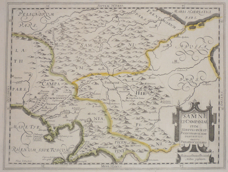
CLUVER (Philippe).
[CAMPANIE] Samni, et Campaniae, item Hirpinorum et Picentinorum agri descriptio.
[1624]. 206 x 273 mm.
Riferimento per il libraio : LBW002a9
|
|
|
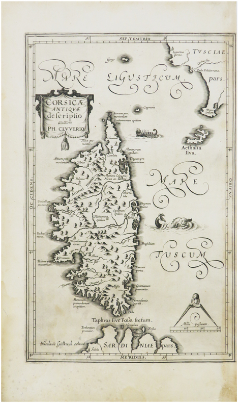
CLUVER (Philippe).
[CORSE] Corsicæ antiquæ descriptio. Auctore Ph. Cluverio.
[1619]. 285 x 181 mm.
Riferimento per il libraio : LBW-8110
|
|
|
CLUVERIUS, Philippus (1580-1623) (CLUVER):
Germania antiqua. Cum vindelicia et Norico auctoris methodo, verbis & tabulis Geogr. retentis contracta opera Johannis Bunonis acc. index rerum...
Gvelferbyti Sumtibus Conradi Bunonis, Typis Johan. Henr. Dunckeri, (Wolfenbüttel, C. Buno), 1663 in-4to, 34 Bl. + 752 S. + 59 Bl. (Index). Mit 6 (5 gefalt.) Kupfertafeln und 10 gefalt. Karten, Original-Lederband d. Zt. (Bezug etwas brüchig, mit kl. Fehlstellen, etwas best.).
Riferimento per il libraio : 120052aaf

|
|
|
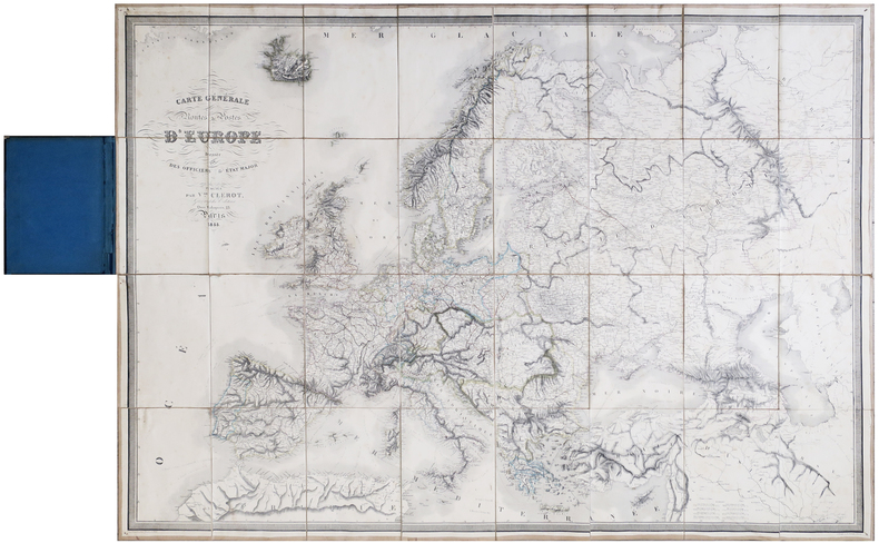
CLÉROT (Victor).
[POSTES] Carte générale de toutes les routes de postes d'Europe.
Paris, Victor Clérot, 1855. En 32 sections montées sur toile et pliées, formant une carte de 0,97 x 1,37 m ; montée dans une reliure en demi-chagrin bleu nuit avec titre en lettres dorées sur le premier plat.
Riferimento per il libraio : LBW-6418
|
|
|
COELLO, Francisco.
Barcelona. Notas estadísticas e históricas por Pascual Madoz. (Atlas de España y sus Posesiones de Ultramar; Diccionario Geográfico-Estadístico-Histórico).
Madrid, 1862. Un mapa de 84 x 111 cm., plegado a 21 x 14 cm., coloreado, con planos particulares de Barcelona; Contornos de Barcelona;. Manresa; Vich, y Mataró. Encuadernación original en cartoné y media tela.
|
|
|
COELLO, Francisco.
Castellón de la Plana. Notas estadísticas e históricas por Pascual Madoz. (Atlas de España y sus Posesiones de Ultramar; Diccionario Geográfico-Estadístico-Histórico).
Madrid, 1852. Un mapa de 83 x 111 cm., plegado a 21 x 14 cm., coloreado, con planos particulares de Castellón de la Plana; Contornos de Morella; Peñíscola, y Contornos de Castellón de la Plana. Encuadernación original en cartoné y media tela.
|
|
|
COELLO, Francisco.
Cuarta hoja de Suplemento: León y Extremadura. Las explicaciones han sido escritas por Pascual Madoz. (Atlas de España y sus Posesiones de Ultramar; Diccionario Geográfico - Estadístico - Histórico).
Madrid, s.a. (hacia 1860). Un mapa de 84 x 111 cm., plegado a 21 x 14 cm., con planos particulares de León, Valencia de Alcántara, Alcántara, Hoyos, Moraleja, Coria, Garrovillas, Cáceres, Montanchez, Trujillo, Plasencia, Granadilla, Jarandilla, Navalmoral de la Mata, Logrosán, Albuquerque, Olivenza, Jerez de los Caballero, Fregenal de la Sierra, Fuente de Cantos, Zafra, Badajoz, Llerena, Don Benito, Villanueva de la Serena, Castuera, Puebla de Alcocer, Almendralejo, Herrera del Duque, y Mérida. Encuadernación original en cartoné y media tela.

|
|
|
COELLO, Francisco.
España y Portugal. (Atlas de España y sus Posesiones de Ultramar; Diccionario Geográfico-Estadístico-Histórico).
Madrid, 1863. Un mapa de 84 x 111 cm., plegado a 21 x 14 cm., coloreado. Alrededor del mapa notas estadísticas contemporáneas. Encuadernación original en cartoné y media tela.

|
|
|
COELLO, Francisco.
Islas Baleares. Las notas estadísticas e históricas han sido escritas por Pascual Madoz. (Atlas de España y sus Posesiones de Ultramar; Diccionario Geográfico-Estadístico-Histórico).
Madrid, 1851. Un mapa de 81 x 108 cm., plegado a 17 x 11 cm., coloreado, con planos particulares de Islas Columbretes, Puerto de Soller, Puerto de Andraix, Palma y contornos, Puerto de Fornells, Ibiza, Menorca, Puerto de Mahón, contornos de Ciudadela, y Situación de las Islas Baleares en el Mediterráneo. Encuadernación original en cartoné y media tela.

|
|
|
COELLO, Francisco.
Islas Canarias. Explicaciones de Pascual Madoz. (Atlas de España y sus Posesiones de Ultramar; Diccionario Geográfico-Estadístico-Histórico).
Madrid, 1849. Dos mapas de 81 x 108 cm., plegados a 17 x 11 cm., y coloreados, con planos particulares de Fondeadero de Tasacorte; Villa de San Sebastian de la Gomera y su puerto llamado también de Hita; Puerto de Naos; Caleta de Interian; Bahía y ciudad de Santa Cruz y San. Miguel de la Palma; Santa Cruz de Tenerife (situación); Santa Cruz de Tenerife (plano); Puerto de Garachico; Las Palmas; Gando; Puerto Naos (Lanzarote); Arrecife; Mapa de situación de las Islas; Puerto de la Cruz ó de Orotava. Encuadernación original en cartoné y media tela.

|
|
|
COELLO, Francisco.
Islas Marianas, Palaos y Carolinas. (Atlas de España y sus Posesiones de Ultramar; Diccionario Geográfico-Estadístico-Histórico. Posesiones de Oceania).
Madrid, 1852. Un mapa de 80 x 107 cm., plegado a 17 x 11 cm., coloreado, con planos particulares de Islas Marianas : Mapas de todas las Islas en la escala de 1:1.000.000 para la comparación de sus magnitudes, con las de otras posesiones españolas, Palaos y Carolinas Centrales, Carolinas Orientales, Archipielago de Gilbert ó Grupo Kingsmill, Isla de Rota, Guajan, Puerto de Umata, Farallon de Medinilla, Bahia y Ciudad de Agaña, Rada de la Isla de Tinian, Isla de Guguan, Puerto de Tarofofo, Farallon de Torres, y Puerto de San Luis de Apra. Encuadernación original en cartoné y media tela.

|
|
|
COELLO, Francisco.
Lugo. Notas estadísticas e históricas por Pascual Madoz. (Atlas de España y sus Posesiones de Ultramar; Diccionario Geográfico-Estadístico-Histórico).
Madrid, 1864. Un mapa de 74 x 103 cm., plegado a 21 x 14 cm., coloreado, con planos particulares de Ría de Vivero; Lugo; Sárria; Monforte de Lemos; Ría de Rivadeo; Contornos de Lugo; Mondoñedo; Monte-Furado, y Perfil del Monte-Furado por el eje del tunel. Planta del Tunel de Monte-Furado. Encuadernación original en cartoné y media tela.
|
|
|
COELLO, Francisco.
Mapa de Canarias. Segunda Hoja: Gran Canaria, Lanzarote, Fuerteventura. Explicaciones de Pascual Madoz. (Atlas de España y sus Posesiones de Ultramar; Diccionario Geográfico-Estadístico-Histórico).
Madrid, 1849. Un mapa de 81 x 108 cm., plegado a 17 x 11 cm., con planos particulares de Las Palmas, Gando, Puerto Naos (Lanzarote) y Arrecife. montado sobre tela, de época.

|
|
|
COELLO, Francisco.
Mapa de Gerona. Explicaciones de Pascual Madoz. Con los planos particulares de Gerona, Puerto de San Feliu de Guixols, Fondeadero de Tosa, Puerto de Blanes, Contornos de Figueras Bahía de Rosas, Bahía de Palamós, Contornos de Gerona, Puerto de Santa Cruz de la Selva, Puerto de Cadaqués., e Islas Medas. [Atlas de España y sus Posesiones de Ultramar. Diccionario Geográfico-Estadístico-Histórico].
Madrid, 1851. Un mapa coloreado de época, de 75 x 101 cm, montado sobre tela y plegado a 21 x 14 cm, contenido en caja de tela de 22 x 15 cm.

|
|

 Ricevere i risultati per e-mail
 Scaricare i risultati in PDF
 RSS feed
 Link
Link


