|
sans auteur
L'AVENIR PAR LES CARTES
1973 broché (paperback) in-octavo, dos blanc (white spine), première de couverture illustrée en couleurs (front cover illustrated in colours), tranches lisses (edges smooth), sans illustration (no illustration), 189 pages, 1973 à Paris Editions Albin Michel,
Riferimento per il libraio : 10988
|
|
|
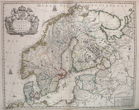
SANSON d'ABBEVILLE (Nicolas);
La Scandinavie où sont les estats de Suède, Norwègue et Danemarck.
Paris P. Mariette 1658 421 x 525 mm.
Riferimento per il libraio : LBW0394d
|
|
|
SANSON d'ABBEVILLE (Nicolas);
Le Brésil.
1683 197 x 269 mm.
Riferimento per il libraio : LBW-698
|
|
|
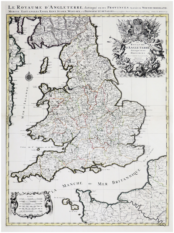
SANSON d'ABBEVILLE (Nicolas) & JAILLOT (Alexis-Hubert).
Le Royaume d'Angleterre distingué en ses provinces.
Paris, H. Jaillot, 1693. En deux feuilles jointes formant une carte de 785 x 584 mm.
Riferimento per il libraio : LBW-6390
|
|
|
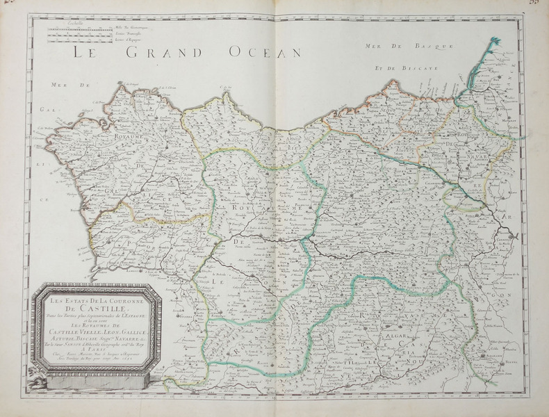
SANSON d'ABBEVILLE (Nicolas).
Les Estats de la couronne de Castille, dans les parties plus septentrionales de l'Espagne.
Paris, Pierre Mariette, 1652. 404 x 533 mm.
Riferimento per il libraio : LBW-656
|
|
|
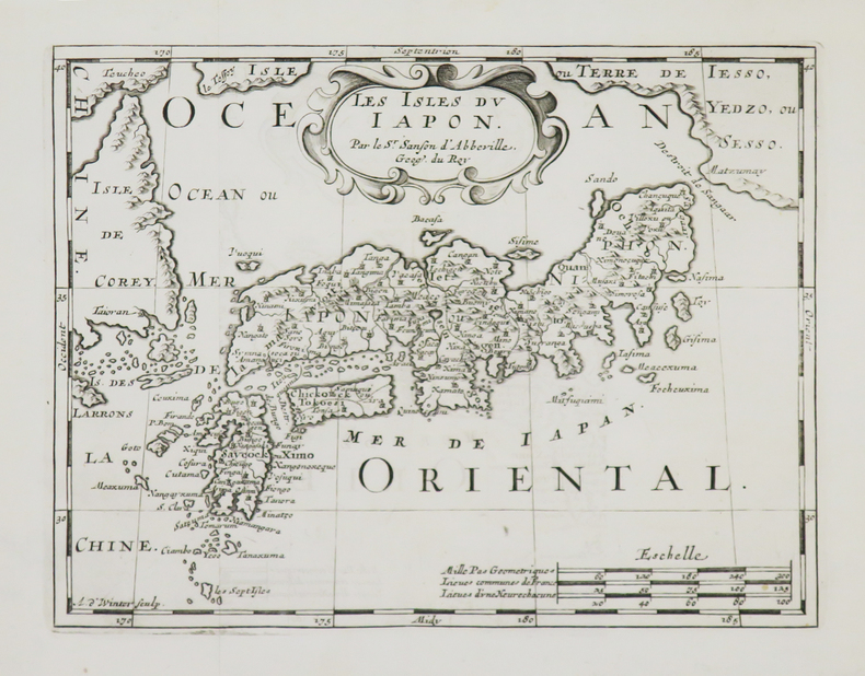
SANSON d'ABBEVILLE (Nicolas).
Les Isles du Japon.
[1700]. 185 x 239 mm.
Riferimento per il libraio : LBW-4948
|
|
|
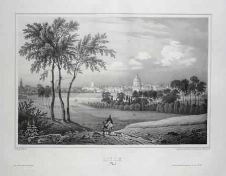
SANDMANN;
LILLE (Nord).
Paris Benard circa 1850 225 x 292 mm.
Riferimento per il libraio : LBW03d78
|
|
|
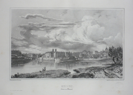
SANDMANN.
MELUN (Seine et Marne).
Paris, Benard, [circa 1850]. 212 x 298 mm.
Riferimento per il libraio : LBW03d75
|
|
|
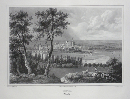
SANDMANN;
METZ (Moselle).
Paris Benard circa 1850 224 x 292 mm.
Riferimento per il libraio : LBW03d4f
|
|
|
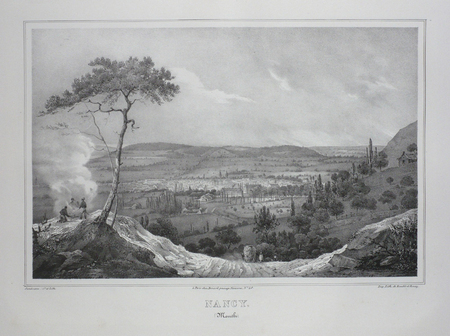
SANDMANN;
NANCY (Meurthe).
Paris Benard circa 1850 218 x 293 mm.
Riferimento per il libraio : LBW03d4e
|
|
|
SANDEMANN;
ORLEANS (Loiret).
Paris Benard circa 1850 216 x 295 mm.
Riferimento per il libraio : LBW03d6b

|
|
|
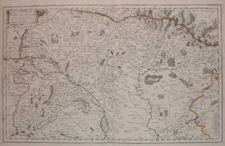
SANSON d'ABBEVILLE (Nicolas);
Partie septentrionale du royaume de Hongrie, tirée de divers autheurs.
Paris chez l'autheur 1699 361 x 580 mm.
Riferimento per il libraio : LBW006af
|
|
|
SANSON d'ABBEVILLE (Nicolas).
Partie de l'Inde au delà du Gange - Presqu'isle de l'Inde au delà du Gange.
1652. 188 x 251 mm.
Riferimento per il libraio : LBW04196
|
|
|
SANTINI (Paolo).
Partie des gouvernemens d'Astrakhan et de Woronez : le Kabarda et partie du païs des cosaques du Don et du Jaik.
Venise, Remondini, 1778. 437 x 549 mm.
Riferimento per il libraio : LBW-2638

|
|
|
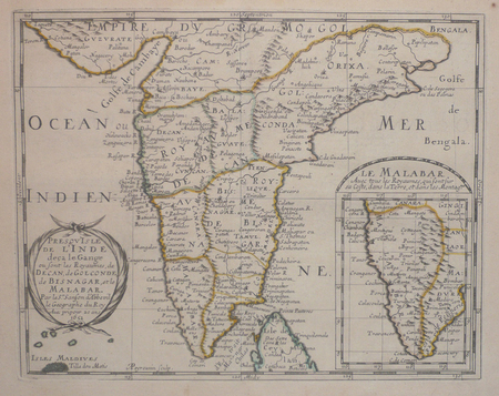
SANSON d'ABBEVILLE (Nicolas);
Presqu'isle de l'Inde deça le Gange où sont les royaumes de Decan, de Golconde, de Bisnagar, et le Malabar.
1652 192 x 243 mm.
Riferimento per il libraio : LBW04197
|
|
|
SANSON d'ABBEVILLE (Nicolas) & COVENS (Jean) & MORTIER (Pierre).
Romani imperii qua occidens est, descriptio geographica.
Amsterdam, J. Covens et C. Mortier, [circa 1720]. 400 x 501 mm.
Riferimento per il libraio : LBW-464
|
|
|
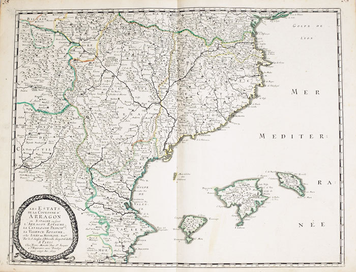
SANSON d'ABBEVILLE (Nicolas);
Royaume d'Arragon divisé en sept dioecèses.
1663 417 x 378 mm.
Riferimento per il libraio : LBW-948
|
|
|
SANDMANN;
STRASBOURG (Bas-Rhin).
Paris Benard circa 1850 217 x 294 mm.
Riferimento per il libraio : LBW03d4d

|
|
|
SANDRART Joachim von (Francoforte 1606 - Norimberga 1688)
Recentis Romae Ichonographia ...
Grande pianta della città, stampata su due fogli reali, copia di quella realizzata da Giovan Battista Falda nel 1667 per papa Alessandro VII. Pianta a proiezione mista, orientata con il nord a sinistra. Topograficamente la carta del Sandrart è fedele a quella del Falda; le modifiche sostanziali sono nei cartigli, con le scritte in tedesco, e nella dedica a papa Innocenzo XI. Il cartiglio di destra raffigura gli stemmi dei Rioni, mentre in basso al centro sono incise delle piccole vedute delle sette chiese giubilari. Incisa a quattro mani con Johannes Meyer, questa pianta risulta per l’eleganza del segno, più raffinata rispetto al Falda, intagliata dal francese Lhuiler. "Copia della pianta piccola del Falda incisa dal Meyer che si firma in basso a sinistra Iohann Meyer fecit Tiguri. IN alto a sinistra, in luogo della dedica fatta dal Falda ad Alessandro VII, compare quella ad Innocenzo XI (1676-89) con la data 1677 e più in basso il nome di Ioachini Sandrart. La pianta è probabilmente anche contenuta nell'opera del Sandrart Der Alten und neue, pubblicata a Norimberga nel 1768" (cfr. Marigliani p. 219). Acquaforte, con margini, in eccellente stato di conservazione. Rara. Large plan of the city, printed on two real sheets, copy of the one made by Giovan Battista Falda in 1667 for Pope Alexander VII. Mixed projection map, oriented with north on the left. Topographically, Sandrart's map is faithful to Falda's; the substantial changes are in the cartouches, with the German inscriptions, and in the dedication to Pope Innocezo XI. The right-hand cartouche depicts the coats of arms of the Rioni, while small views of the seven Jubilee churches are engraved in the bottom centre. Engraved by four hands with Johannes Meyer, this plan is more refined in the elegance of its sign than the Falda, carved by the Frenchman Lhuiler. "Copy of Falda's small plan engraved by Meyer, signed at lower left Iohann Meyer fecit Tiguri. In the upper left corner, instead of the dedication made by Falda to Alexander VII, the dedication to Innocent XI (1676-89) appears with the date 1677 and lower down the name of Ioachini Sandrart. The plan is probably also contained in Sandrart's work Der Alten und neue, published in Nuremberg in 1768' (cf. Marigliani p. 219). Sandrart carved this plan together with Johannes Meyer; the result is a far more refained work compared to that of Falda, carved by Lhuiler. Etching, with margins, in excellent condition. Rare. Huelsen (1915): n. 119; Scaccia Scarafoni (1939): n. 200; A. P. Frutaz, "Le piante di Roma", CLVI ; TIB p. 317, 281 C1. C. Marigliani, "Le Piante di Roma delle collezioni private", tav. 126.

|
|
|
SANDS M. Et Mme H. et BOLAND Henri
Guides-Joanne : Angleterre , Écosse , Irlande . Complet De Sa Carte Indépendante En Fin D'ouvrage
Collection " Des Guides-Joanne " avec 7 plans et 10 cartes en couleurs dont certaines dépliantes . Nombreuses publicités , notamment d'hôtels mais aussi de Michelin , de chocolat Menier etc . Illustré de photographies en noir et blanc .- 190 p. + 152 p. , 450 gr.

|
|
|
SANZ, Carlos.
Cartografía histórica de los Descubrimientos Australes.
Madrid, Publicaciones de la Real Sociedad Geográfica, 1967. 4to. mayor; 96 pp., con 82 reproducciones de mapas a toda plana, tres de ellos plegados. Cubiertas originales

|
|
|
SAONE ET LOIRE
Carte d?partementale couleurs au 1/200 000e. D?but XXe.
Une feuille repli?e. 80 x 60 cm.
|
|
|
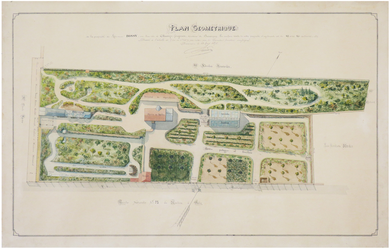
SARRAZIN (E. C.).
[DOUBS] Plan géométrique de la propriété de Monsieur Bossy, sise lieu-dit à Champ-Forgeron, territoire de Besançon.
1875. 45 x 70 cm ; monté sur carton fort.
Riferimento per il libraio : LBW-7429
|
|
|
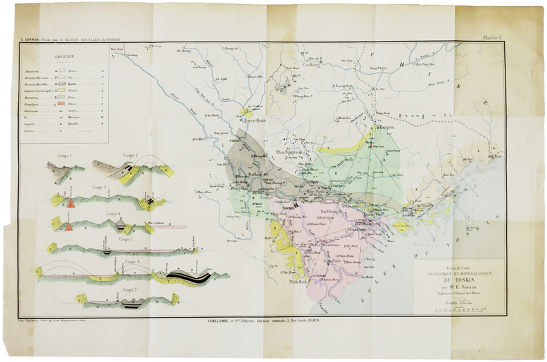
SARRAN (Émile).
[GÉOLOGIE/TONKIN] Essai de carte géologique et minéralogique du Tonkin.
[1888]. 243 x 433 mm.
Riferimento per il libraio : LBW-5005
|
|
|
SARTIAUX Félix
Villes Mortes D'Asie Mineure Pergame, Ephese, Priene, Milet, Le Didymeion, Hierapolis.
1911 à Paris , chez Hachette , in-8 (200x130),relié pleine toile ,233pp avec 40 vues photographiques Hors texte prises par l'auteur ,3 reproductions de monuments, 8 cartes et plans .
Riferimento per il libraio : PHO-926
|
|
|
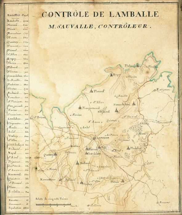
SAUVALLE. MANUSCRIT.
Contrôle de Lamballe. M. Sauvalle, contrôleur.
[fin XVIIIe]. 218 x 180 mm.
Riferimento per il libraio : LBW-784
|
|
|
SAUSSINE (Léon).
Game of the skating-rink – Jeu du skating-rink.
Paris, Saussine, [entre 1876 et 1880]. 526 x 695 mm, sur papier à l'aspect glacé.
Riferimento per il libraio : LBW-8543

|
|
|
Saul, John C.: Editor
A Complete Geography: Tarr and McMurry's Geographies
506 pages. Lovely vintage geography textbook authorized for use in the public schools of Manitoba. Many black and white photos plus lovely fold-out, double-hinged colour maps of Canadian provinces, regions of the U.S., and other areas of the world. Front free endpaper removed. Somewhat above-average wear. Binding somewhat shaken but still intact. The vintage illustrations make this volume a treat to peruse. Book

|
|
|
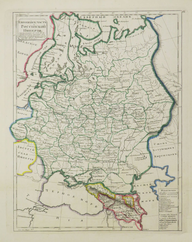
SAVINKOV (Aleksandr Dmitrievich).
[Carte de la Russie].
[St. Pétersbourg, 1835]. 291 x 231 mm.
Riferimento per il libraio : LBW-3684
|
|
|
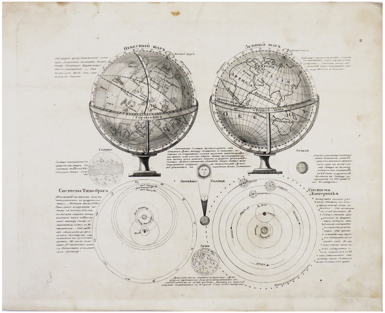
SAVINKOV (Aleksandr Dmitrievich).
[SPHÈRES].
[St. Pétersbourg, 1835]. 215 x 255 mm.
Riferimento per il libraio : LBW-6181
|
|
|
SAVIGNY G B (de)
La Manille règles complètes et séparées de tous les jeux de manille avec le calcul de probabilité et l’étude des coups difficiles,
in 12 broché couverture illustrée,94 pages,vignettes dans le texte Albin Michel éditeur sans date (1951)Manille parlée-Manille muette-Le dix-sept Manille à trois avec un mort-Manille à l'envers-Les Manilles aux enchères,simples et composées-Manille de misère-Manille à deux-Etude des coups
Riferimento per il libraio : 3080
|
|
|
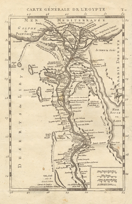
Savary (Claude-Etienne) :
Lettres sur l’Egypte, où l’on offre le parallèle des mœurs anciennes et modernes de ses habitans, où l’on décrit l’état, le commerce, l’agriculture, le gouvernement, l’ancienne religion du pays, et la descente de S. Louis à Damiette, tirée de Joinville et des Auteurs Arabes, avec des Cartes Géographiques. Seconde édition revue et corrigée.
Paris, Onfroi, 1786 ; 3 tomes in-8 ; demi-veau havane, dos à faux-nerfs décoratifs et pièces de titre et tomaison vieux-rouge, tranches mouchetées ; IV, 351 ; 308 ; 308 pp. et 4 planches dépliantes dont 3 cartes géographiques.
Riferimento per il libraio : 16502
|
|
|
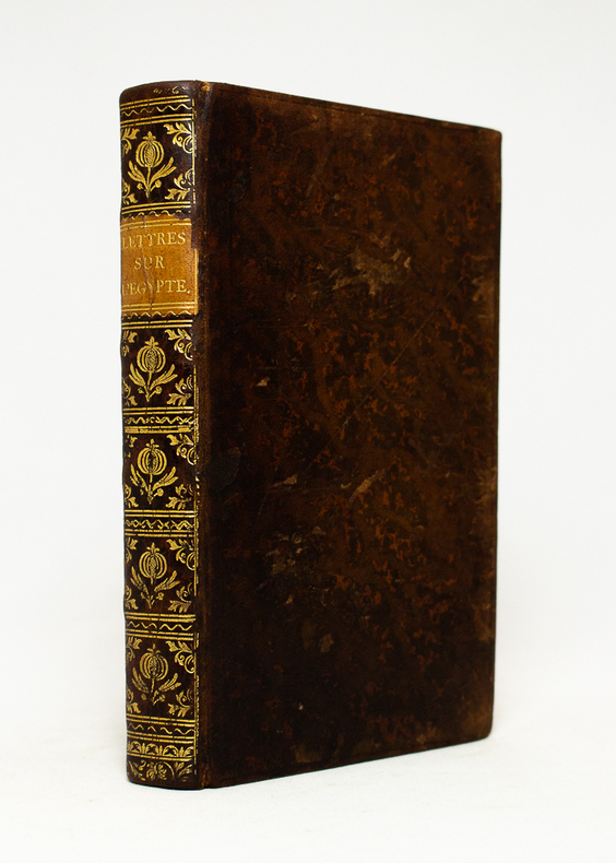
SAVARY Claude:
Lettres sur l'Egypte...
Paris, chez Onfroi, 1785. In-8 de [4]-IV-351 pages, pleine basane blonde, dos lisse orné de fleurons à la grenade et écoinçons végétaux, pièce de titre en cuir sable, filet simple et double estampés à froid en encadrement des plats, tranches rouges.
Riferimento per il libraio : 18486
|
|
|
SAVARY Claude-Etienne:
Lettres sur l'Egypte, où l'on offre le parallèle des moeurs anciennes & modernes et de ses habitans, où l'on décrit l'état, le commerce, l'agriculture, le gouvernement du pays, la descente de S. Louis à Damiette, tirée de Joinville des Auteurs arabes, avec des Cartes Géographiques.
Paris, Chez Onfroi, 1785, 1786. 3 volumes in-8 de X-395-[3]; [2]-310; [2]-310 pages. plein veau moucheté brun, dos à nerfs ornés de filets et fleurons dorés, pièces de titre et tomaison beige, tranches rouges.
Riferimento per il libraio : 19222
|
|
|
SAVERNE
Carte allemande au 1/80 000?. Fin XIXe.
1 feuille repli?e. 31,5x45 cm.
|
|
|
Savigny (G.-B. de)
Traité complet des jeux de cartes. Règles détaillées des Grands Cercles, commentaires sur la science des jeux, calcul des probabilités.
français Sans date. Fort in-12 de 538 pp.; broché de l'éditeur (plats de couverture renforcés de carton). Avec de nombreuses illustrations explicatives dans le texte. Petits transferts de scotch dans la première et dernière pages.
|
|
|
SCARPE. MANUSCRIT.
Carte particulière des rivières de la Scarpe, de l'Escaut et de ses canaux y afluant depuis Douay et Bouchain jusqu'à leur jonction à Mortagne.
[circa 1780]. En 16 sections montées sur toile et pliées, formant une carte de 0,77 x 1,03 m.
Riferimento per il libraio : LBW-2820

|
|
|
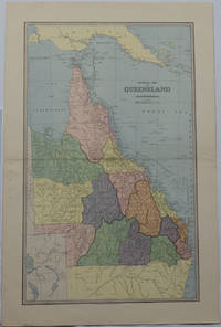
SCALLY, ALEX J
General Map of Queensland.
Sydney & Melbourne.: The Picturesque Atlas Publishing Company Limited Sydney & Melbourne. 1886-1888. Large printed colour map 60.9 x 37 cm 69.9 x 45.3 cm sheet central fold slight browning at the fold and to the generous margins in very good condition. Detailed map prepared for Andrew Garran's monumental "Picturesque Atlas of Australasia" 1886-1888 with the counties attractively coloured. New Guinea is shown to the North and borders with Northern Territory South Australia and New South Wales. The extent of the Great Barrier Reef is delineated along with the ocean "Border of Colony". Proposed and current railways are shown with an extensive place index printed on the verso of the map. . The Picturesque Atlas Publishing Company, Limited, Sydney & Melbourne. unknown
Riferimento per il libraio : 175917
|
|
|
SCANDINAVIA IN OLD MAPS AND PRINTS
0390
Not in perfect condition. unknown
Riferimento per il libraio : Erik van Mingroot and Edu
|
|
|
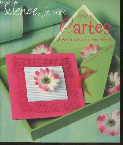
Schneegans Marie-Pierre
"Silence, je crée... mes cartes pour toutes les occasions (Collection ""Silence, je crée..."")"
France Loisirs/Tana. 2005. In-8. Broché. Bon état, Coins frottés, Dos satisfaisant, Intérieur acceptable. 91 pages. Couverture contrepliée. Quelques rousseurs. Nombreuses illustrations et photos en couleurs, in et hors texte.. . . . Classification Dewey : 741.68-Illustrations des cartes postales
Riferimento per il libraio : RO30354038
|
|
|
SCHAUENBURG (Balthasar Alexis Henri Antoine de) - ENGELBERTS (Derck C. E.) dir.
Die Schauenburg-Sammlung der Eidgenössischen Militärbibliothek und des Historischen Dienstes. Beitrag zur Geschichte der Schweiz anhand von Karten des 17. und 18 Jahrhunderts. Hrsg. von Derck C. E. Engelberts- Texte von Prof. Dr. Georges Grosjean. - Alain F. Berlincourt - Derck C.E. Engelberts - Stuart Morgan - Dominic M. Pedrazzini.
Hauterive, Editions Gilles Attinger, 1989, elefant-Folio: 59 x 75 cm (Kassette). Papiergrösse 56 x 71 cm. 127 lose faksimilierte, farbige Blätter in 59 bedruckten Papierhüllen, leinen-überzogene Kassette, Lederetikette vorne, Verschluss mit 2 Lederriemen und Druckknöpfen.
Riferimento per il libraio : 127536aaf
|
|
|
SCHOUTEN, Willem Corneliszoon.
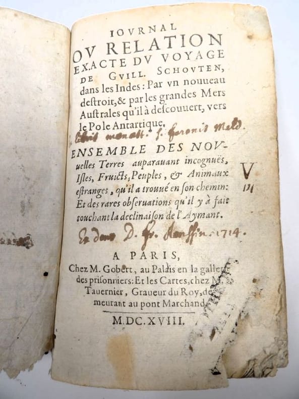
Iournal (Journal) et Relation exacte du Voyage de Guill. Schouten, dans les Indes : Par un nouveau destroit et par les grandes Mers Australes qu’il a descouvert, vers le Pole Antartique. Ensemble des nouvelles Terres auparavant incognües, Isles, Fruicts, Peuples et Animaux étranges, qu’il a trouvé en son chemin : Et des rares observations qu’il y a fait touchant la déclinaison de l’Aymant.
Paris, Gobert (texte) & Tauernier (cartes), 1618. Petit in-8 – 11,5 x 17 cm. Reliure de l’époque en vélin, dos lisse muet. Dans une chemise-étui moderne. 7 ff., 232 pp., 4 pl. Première édition française du récit populaire de Schouten sur son voyage avec Jacob Le Maire à la recherche d’un passage alternatif au détroit de Magellan, qui a été traduit en français, allemand, latin et anglais moins d’un an après la première édition néerlandaise. Le voyage historique de Schouten n’était que le troisième tour du monde, « au cours duquel le Cap Horn fut découvert et contourné pour la première fois » (Hill). Exemplaire orné de 4 planches dépliantes (sur les 8 usuelles) : mappemonde ornée des portraits de Magellan et Schouten, carte du Cap Horn, gravure de l’Ile Horn, carte de la côte de Nouvelle Guinée. Lors d’un voyage, un ancien propriétaire a fait tamponner le dos de l’étui (XXe) au moment de son passage au Cap Horn.
Riferimento per il libraio : 2417
|
|
|
SCHOTT Franciscus; PERION Joachim:
Itinerarii Italiae, Germaniaeque libri IIII. Ad hac iter Galliae et Hispaniae. [relié à la suite] Ioachimi Perionii benedictini Cormoeriaceni De rebus gestis, vitisque apostolorum liber.
Coloniae Agrippinae [et] Coloniae, sumptibus Bernardi Gualtheri [et] Theodoricum Baumium, 1620 - 1569. Trois tomes en un volume in-12 de [30]-456 (chiffrée 454)-[10] ; 161-[3] ; 216 pages, plein vélin à recouvrement, titres inscrit à la plume au dos.
Riferimento per il libraio : 16533

|
|
|
SCHMETTAU ( Friedrich, Wilhelm, Karl von)
Karte des Herzogthums Mecklenburg mit seinen verschiedenen Provinzen : als, des eigentlichen Herzogthums Mecklenburg, der Furstenthumer Wenden, Schwerin Razeburg, der Grafschaft Schwerin, und der Herrschaften Rostock und Stargard, wie auch der Herrschaft Wismar, des Schwedischen Pommern und der Insel Rugen, nebst einem Theile der angrenzenden Preussischen, Hannoverischen, Hollsteinischen und Lubeckischen Lander ... / durch F. W. C. von Schmettau
1794 21 sections montées sur toile et pliées formant une carte 680 x 980 mm, avec une extension de 195 x 490 mm correspondant à "Die Ost See". Berlin
Riferimento per il libraio : 16319
|
|
|
Schedel, Hartmann (1440-1514):
Parisius & Maguncia - Paris und Mainz.
Nürnberg, Anton Koberger, 1493. Kol. Holzschnitt. Blattgrösse: 45 x 62 cm.
Riferimento per il libraio : 591DG
|
|
|
Schardner, Roger
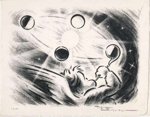
Roger Schardner : carte de voeux pour 1961 et gravure originale
1961 Carte de voeux de Roger Schardner et Madame pour l'année 1961. 12 x 15 cm, 2ff., portant une gravure en noir signée et datée en page 1 et les voeux finement calligraphiés à la mine de plomb à l'attention de M. le député Michel Boscher.
Riferimento per il libraio : 1478
|
|
|
Schmid, David Alois (1791-1861):
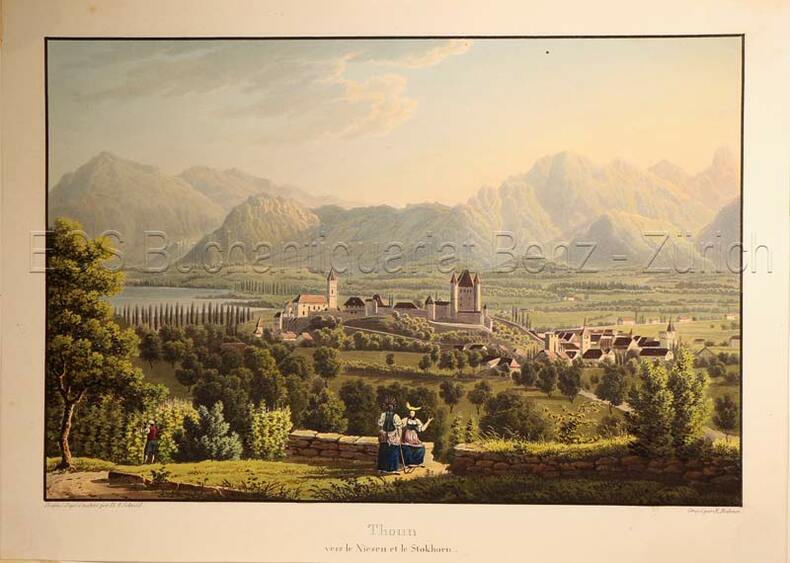
Thoun vers Niesen et le Stockhorn.
(Zürich, Keller & Füssli), um 1830. Altkolorierte Aquatinta von Rudolf Bodmer (1805-1841). Bildgrösse: 16 x 24,1 cm. Blattgrösse: 19,4 x 27 cm.
Riferimento per il libraio : 627DG
|
|
|
SCHREIBER Hermann Avec cent héliogravures et des cartes.
Tyrol. Avec cent héliogravures et des cartes.
Couverture souple. Broché. 154 pages.
Riferimento per il libraio : 208122

|
|
|
SCHEDEL Hartmann (Norimberga 1440 - ivi 1514)
Roma
Veduta panoramica della città tratta dal celebre Liber Cronicarum del 1493."E' la più nota immagine di Roma data alle stampe alla fine del '400. Essendo stata inserita nella fortunatissima opera di Hartman Schedel comunemente nota con il nome di Cronaca di Norimberga può dirsi senz'altro comune. Si tratta di una derivazione dal prototipo comune a tutte le piante medioevali di Roma e noto come panorama di Mantova, a sua volta ripreso da un presunto ma tuttora sconosciuto panorama inciso nella bottega di Francesco Rosselli verso il 1485. La città è vista da nord-est a volo dìuccello per porre in evidenza la zona Vaticana oggetto di vari lavori tra cui le spine di Borgo, il Belvedere (1485/87), il Santo Spirito ed il palazzo del Papa. Sono inoltre riconoscibili le realizzazioni di Santa Maria del Popolo e ponte Sisto. Tra le antichità spiccano il Pantheon, il Colosseo, la colonna Antonina ed in primo piano i Dioscuri nella originaria collocazione presso le terme di Diocleziano. Manca curiosamente l'Isola Tiberina" (cfr. Marigliani p. 117).La monumentale opera di Schedel, il Liber Cronicarum, rappresenta uno “dei più straordinari lavori mai realizzati” dall’editoria del XV secolo. Gli incisori erano Michael Wolgemut, famoso maestro di Albrecht Dürer, e il figliastro Wilhelm Pleydenwurff. Wolgemut fu il tutore di Albrecht Dürer tra il 1486 e il 1490; recenti studi hanno dimostrato come Durer abbia collaborato alla realizzazione di quest’opera, poiché alcuni dei tratti hanno somiglianze stupefacenti con quelli dell’Apocalisse; alcune opere sono infatti attribuite al maestro di Norimberga. La stampa venne supervisionata dal grande stampatore Anton Koberger, le cui opere erano famose in tutta Europa. Xilografia, finemente colorata a mano, consuete tracce di restauro alla piega centrale, nel complesso in ottimo stato di conservazione.BibliografiaA. P. Frutaz, "Le piante di Roma", XCVI; C. Marigliani, "Le Piante di Roma delle collezioni private", n. 8; M. Gori Sassoli (a cura di), "Roma Veduta" p. 139, n. 5; Scaccia Scarafoni, "Le Piante di Roma", n. 125. It is the most famous image of Rome given to the prints at the end of '400. Having been inserted in the very fortunate work of Hartman Schedel commonly known with the name of Chronicle of Nuremberg can be said without doubt common. It is a derivation from the prototype common to all the medieval map of Rome and known as the Mantua panorama, in turn taken from a presumed but still unknown panorama engraved in the workshop of Francesco Rosselli around 1485. The city is seen from the northeast in a bird's eye view to highlight the Vatican area which has been the subject of various works including the Borgo thorns, the Belvedere (1485/87), the Santo Spirito and the Pope's palace. Also recognizable are the realizations of Santa Maria del Popolo and Ponte Sisto. Among the antiquities stand out the Pantheon, the Colosseum, the Antonine column and in the foreground the Dioscuri in the original location near the Baths of Diocletian. The Tiber Island is curiously missing. (see Marigliani p. 117).Schedel's monumental Liber Cronicarum was “one of the most extraordinary works ever produced” The woodblock cutters were Michael Wolgemut, the well-known teacher of Albrecht Dürer, and his stepson Wilhelm Pleydenwurff. Wohlgemut was Albrecht Dürer's tutor between 1486-90 and recent scholarship has shown, Albrecht Dürer may also have collaborated, since some of the cuts bear a remarkably close resemblance to the Apocalypse illustrations. The printing was carried out under the supervision of the great scholar-printer Anton Koberger, whose printing were famous throughout Europe. Woodcut, fine hand colouring, in good condition.BibliografiaA. P. Frutaz, "Le piante di Roma", XCVI; C. Marigliani, "Le Piante di Roma delle collezioni private", n. 8; M. Gori Sassoli (a cura di), "Roma Veduta" p. 139, n. 5; Scaccia Scarafoni, "Le Piante di Roma", n. 125.

|
|
|
SCHEDEL Hartmann (Norimberga 1440 - ivi 1514)
Roma
Veduta fantastica della città posta nella parte inferiore del foglio che contiene anche il testo descrittivo, tratto dal "Liber cronicarum cum figuris et umaginibus ab initio mudi usus mit temporis" rarissima edizione "tascabile" della celebre cronaca del mondo, edita ad Ausburg presso Johann Schonsperger, nel 1496. Prima edizione in tedesco dello Schonsperger. Egli abbrevia sia il testo sia il formato dello Schedel per produrre un edizione che fosse più maneggevole a commerciabile di quella di A. Koberger. "Nel 1469 venne realizzata un'edizione delle Cronaca di Norimberga in formato ridotto a cura di J. Schonsperger in cui le immagini sono copie ridotte di quelle originali ed anche i testi sono sintetizzati. Questa edizione (la seconda in tedesco) è comunque assai più rara della prima. L'editore Schonsperger è noto in quanto impiegò a Norimberga un nuovo carattere gotico chiamato Fraktur nel poema composto per la morte di Massimiliano I" (cfr. Marigliani p. 117).Silografia finemente colorata a mano, in ottimo stato di conservazione. Molto rara.BibliografiaC. Marigliani, "Le Piante di Roma delle collezioni private", n. 10. Fantastic view of the city placed in the lower part of the sheet that also contains the descriptive text, taken from the "Liber cronicarum cum figuris et umaginibus ab initio mudi usus mit temporis", the very rare "pocket edition" of the famous chronicle of the world, published in Ausburg by Johann Schonsperger, in 1496. First German edition of the Schonsperger. He shortened both the text and the format of the Schedel to produce an edition that was more manageable and marketable than that of A. Koberger. "In 1469 an edition of the Chronicle of Nuremberg was produced in reduced format by J. Schonsperger in which the images are reduced copies of the original ones and also the texts are synthesized. This edition (the second one in German) is however much rarer than the first one. The publisher Schonsperger is known because he used in Nuremberg a new gothic character called Fraktur in the poem composed for the death of Maximilian I" (see Marigliani p. 117).Woodcut, with fine later hand colour, excellent condition. Very rare.BibliografiaC. Marigliani, "Le Piante di Roma delle collezioni private", n. 10.

|
|

 Ricevere i risultati per e-mail
 Scaricare i risultati in PDF
 RSS feed
 Link
Link


