|
Leonardo B.Dal Maso
Rome of the Caesars
Book in as new condition. 126pp. Description of Rome in historic times from the 1st century BC up to the mid 4th century. Very well illustrated.

|
|
|
LEOPOLD (Johann Friedrich).
[UKRAINE] Grundriss der glorieusen Action welche in der Gegend Pultawa in der Ucraine.
[circa 1710]. 450 x 585 mm.
Riferimento per il libraio : LBW-2770

|
|
|
LEOPOLD Johann Christian (Augusta 1699 - 1755)
Roma
Si tratta di una copia del panorama di Schenk che raffigura la città intorno al 1700. In primo piano due asini carichi di mercanzie sono condotti da alcuni viandanti e sullo sfondo a sinistra un corteo si avvia verso Porta Castello. Lungo testo in basso e stemma centrale di Alessandro VII (1655-67). Delineata sulla scia della più grande veduta di Jeremias Wolff, l’opera offre quaranta riferimenti topografici. Il Leopold, era un modesto incisore ed editore di Augsburg; la sua serie di vedute di città, da cui questa incisione è tratta, venne pubblicata con una bassissima tiratura, rendendo quindi le opere particolarmente rare. Incisione in rame, magnifica coloritura coeva, in ottimo stato di conservazione. This is a copy of Schenk's panorama that depicts the city around 1700. In the foreground two donkeys laden with merchandise are led by some travelers and in the background on the left a procession is moving towards Porta Castello. Text at the bottom and central coat of arms of Alexander VII (1655-67). Outlined in the style of Jeremias Wolff's larger view, the work offers forty topographical key-references. Leopold was a modest engraver and publisher in Augsburg; his series of city views, from which this engraving is taken, was published with a very low circulation, making the works particularly rare. Copper engraving, magnificent contemporary coloring, in excellent condition. Marigliani, Le Piante di Roma, p. 258, 168.

|
|
|
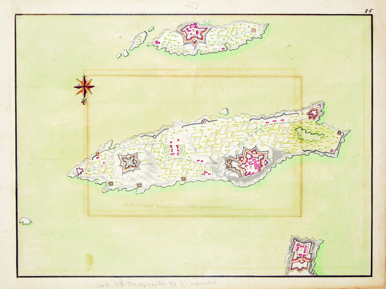
LERINS (ÎLES de). MANUSCRIT.
[Carte des Îles de Lérins].
[circa 1700]. 283 x 394 mm.
Riferimento per il libraio : LBW-4172
|
|
|
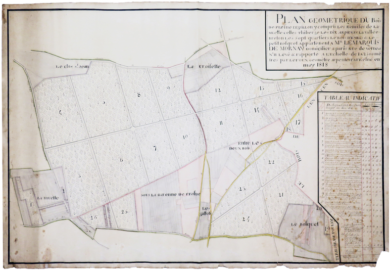
LEROUX. MANUSCRIT.
Plan géométrique du bois de Fresne l'Eguillon, y compris les remises de Lamuette, celles Thiberge, les Dix Arpents, la Vallée Breton, les Sept quartiers, le bois d'Enbas & le petit bosquet appartenent à Mr le marquis de Mornay, domicilier à Paris rue de Verneuil n°11. Levé & rapporté à l'échelle de 1 à 2500 mêtres par Leroux, géomètre arpenteur à Fresne en may 1818.
May 1818. 665 x 995 mm.
Riferimento per il libraio : LBW-4196
|
|
|
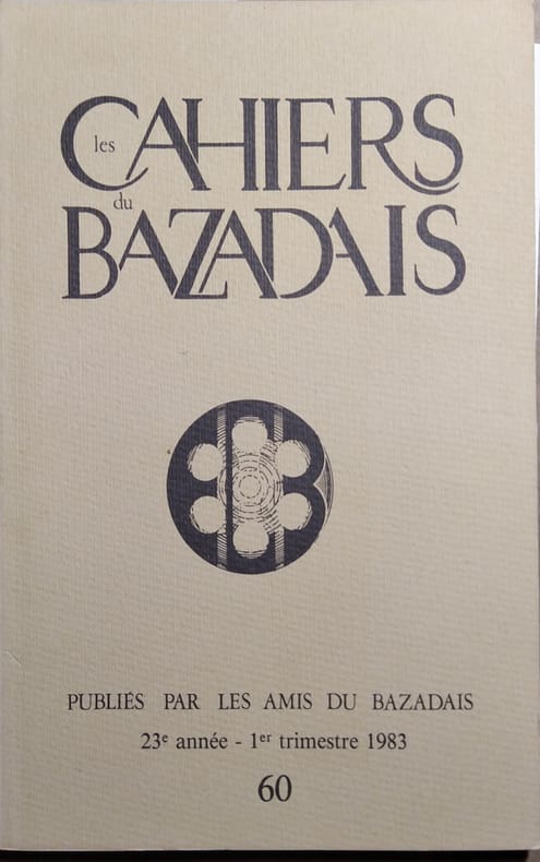
LES CAHIERS DU BAZADAIS 2 cartes hors-texte.
Les Cahiers du Bazadais N° 60. 1er trimestre 1983. L'emprise foncière d'un bourg garonnais sous l'ancien régime : Langon - Création d'un groupe de recherches sur la langue gasconne et la vie traditionnelle en Bazadais...
Couverture souple. Revue. 52 pages.
Riferimento per il libraio : 144532
|
|
|
Les Cartes Touristiques Locales
Remiremont - Plombières - Les - Bains
Institut Géographique National Carte de la région
Riferimento per il libraio : 018084
|
|
|
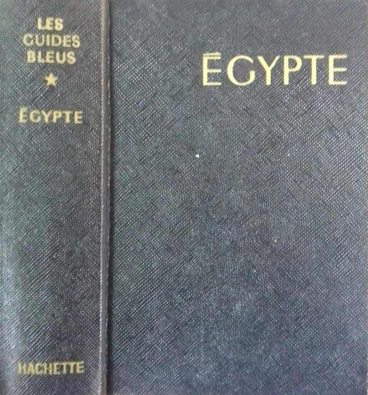
LES GUIDES BLEUS 6 cartes et plans dépliants hors texte.
Guide bleu. Egypte. Le Nil égyptien et soudanais du delta à Khartoum.
Couverture rigide. Reliure de l'éditeur. Rhodoïd et emboitage carton. 787 pages.
Riferimento per il libraio : 140904
|
|
|
LES GUIDES BLEUS 6 cartes et plans dépliants hors texte.
Guide bleu. Egypte. Le Nil égyptien et soudanais du delta à Khartoum.
Couverture rigide. Reliure de l'éditeur. Emboitage carton. 684 pages.
Riferimento per il libraio : 147328
|
|
|
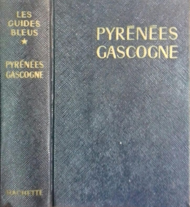
LES GUIDES BLEUS Cartes et plans hors texte.
Pyrénées. Gascogne. Pays basque. Béarn. Bigorre. Toulousain. Comté de Foix. Andorre. Roussillon.
Couverture rigide. Reliure de l'éditeur. 621 pages. Rhodoïd. Emboitage carton.
Riferimento per il libraio : 140922
|
|
|
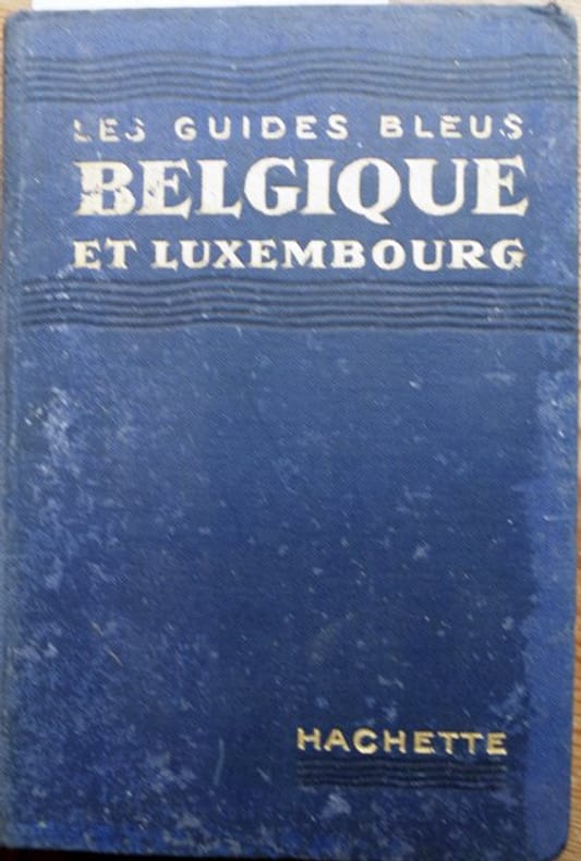
LES GUIDES BLEUS Nombreuses cartes dépliantes.
Guide Bleu. Belgique. Grand Duché de Luxembourg.
Couverture rigide. Cartonnage de l'éditeur. 354 pages. Sans la carte amovible.
Riferimento per il libraio : 135530
|
|
|
LES GUIDES NAGEL
NEW YORK ( MANHATTAN )
VIII + 60 pages . Un plan en couleurs dépliant - Map of lover New York et deux plans en noir .- 60 p. , 250 gr

|
|
|
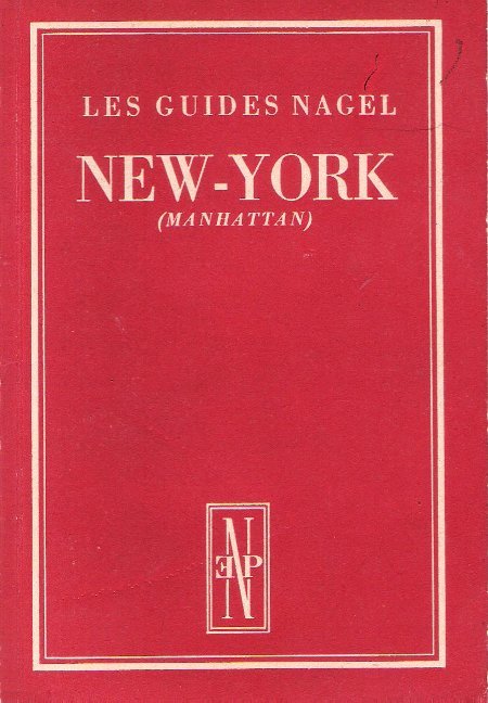
LES GUIDES NAGEL
NEW YORK ( MANHATTAN )
Genève - Paris Les Éditions Nagel 1954 In 12 VIII + 60 pages . Un plan en couleurs dépliant - Map of lover New York et deux plans en noir .- 60 p. , 250 gr
Riferimento per il libraio : 019151
|
|
|
LES GUIDES NAGEL - GRECE Plans et cartes en couleurs.
Nagel. Encyclopédie de voyage. Grèce. Grèce.
Couverture rigide. Reliure de l'éditeur. 942 pages.
Riferimento per il libraio : 147772

|
|
|
LESOT (André).
Cher.
Paris, Éditions Géographiques Bricon & Lesot, André Lesot Succ.r, [vers 1910]. En 25 sections montées sur toile et repliées, formant une carte de 0,90 x 1,23 m.
Riferimento per il libraio : LBW-8924

|
|
|
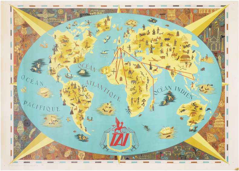
LESOURT (François).
TAI. Compagnie de Transports Aériens Intercontinentaux.
Paris, Hubert Baille et Cie, [1948]. 547 x 740 mm.
Riferimento per il libraio : LBW-7928
|
|
|
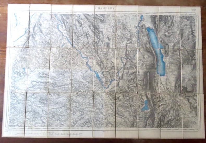
Lestoquoy, Hacq, Carolus, Delsol:
Carte de Chambéry.
Paris, Librairie Plon / Plon, Nourrit et Cie. Carte au 1/80'000, entoilée, au format ouvert de 87 x 59 cm., vignette de la Librairie plon contrecollée au premier plat. Tampons de bureau technique, petites déchirures sans manques à certains plis.
Riferimento per il libraio : 18271
|
|
|
LETAROUILLY Paul (Coutances, 1795 – Parigi, 1855)
Plan Topographique de Rome Moderne Avec les changemens et Accroissements nouveaux
Pianta a proiezione verticale, orografica, orientata con il nord in alto.Si tratta, di una derivazione ridotta ed aggiornata della pianta di Giovan Battista Nolli del 1748, pubblicata per la prima volta nel 1838 - priva dell'apparato decorativo in basso, derivante interamente dal Nolli, che appare solamente in questa ristampa del 1841, emendata sulla vecchia lastra. Sono aggiunti orografia e rappresentazione delle aree verdi. "In basso, sotto la pianta, sono state inoltre aggiunte a sinistra una vista del Colosseo e la colonna Traiana con le tre colonne del Foror Romano in primo piano e a destra il Campidoglio. I rioni sono contraddistinti in pianta da numeri romani. In basso a destra troviamo le firme dei vari incisori. Ai due lati legende divise per argomenti. Non è stato possibile verificarlo, ma è probabile che questa pianta venisse venduta avulsa dall'opera" (cfr. Marigliani p. 285).Acquaforte, stampata su carta coeva, tagliata ed applicata su tela e montata ad astuccio, piccole ossidazioni, per il resto in buono stato di conservazione. Vertical projection map, orographic, oriented with the north at the top.It is a reduced and updated derivation of Giovan Battista Nolli's map of 1748, published for the first time in 1838 - without the decorative apparatus at the bottom, deriving entirely from Nolli, which appears only in this reprint of 1841, amended on the old plate. Orography and representation of the green areas are added. At the bottom, under the map, a view of the Colosseum and the Trajan's column with the three columns of the Foror Romano in the foreground and the Capitol on the right have been added. The districts (rioni) are marked in the map by Roman numbers. At the bottom right we find the signatures of the various engravers. On the two sides legends divided by topics. Etching, printed on contemporary paper, cut and applied on canvas and mounted in a case, light foxing, for the rest in good condition. C. Marigliani, "Le Piante di Roma delle collezioni private", n. 285; Scaccia Scarafoni, "Le Piante di Roma", n. 290.

|
|
|
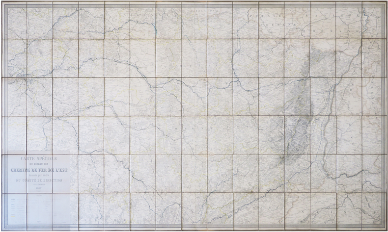
LETELLIER (Antoine Émile).
[CHEMINS de FER] Carte spéciale du réseau des chemins de fer de l'Est, dressée par ordre du Comité de Direction.
1857. En 90 sections montées sur toile et repliées, formant une carte de 0,94 x 1,56 m ; sous emboîtage de percaline bleue."
Riferimento per il libraio : LBW-7861
|
|
|
Letterpress by CA. Gregory and Maps by Clive Barrass C. A.
Gregorys ATLAS of the Discovery Settlement and Exploration of Australia
Foreword by F. Thos. Brodie Geography Master Fort Street Boys High School. Sydney: The Gregory Publishing Co.: no date Printers Code 10819. Price 2/6. Pictorial wrappers that is paper covers plus pp. 64 170 x 249 mm Illustrated. An owners namestamp twice on front wrapper; a few stains and other signs of use including pencil grid marks on four maps; spine somewhat worn; both corners bumped or creased; a good serviceable copy. unknown
Riferimento per il libraio : 154596
|
|
|
Leurquin, Anne
A World of Belts: Africa, Asia, Oceania, America from the Ghysels Collection
Mm 240x290 Photos by Mauro Magliani. Printed Pages: 318 with colour illustrations throughout. Brand new in original shrinkwrap.
|
|
|
LEVAILLANT (FRANÇOIS)
Second voyage dans l'intérieur de l'Afrique par le Cap de Bonne-Espérance, dans les années 1780, 81, 82, 83, 84 & 85
Paris & Amsterdam, Jansen et Compagnie, libraire associés, An 3 (1795) & 1797, 3 volumes in-8 (20x13cm) en reliures et éditeurs différents, 2ff.-xliv-304pp., 1f.-264pp.,2ff.-525pp.1f., demi basane et coins pour les tomes 1 & 3, pleine basane pour le tome 2. Frottements et défauts divers, mouillure au tome 3, rousseurs, papier bruni au tome 2. Illustré de 21 (sur 22) planches : diverses vues dépliantes de campements, spécimens de flore (concombre) et faune surtout (hippopotame, hyène, babouin, belle tête de girafe...) et divers autochtones.
Riferimento per il libraio : PHO-2424

|
|
|
LEVASSEUR (Emile) & PERIGOT (Charles)
Cartes pour servir à l'intelligence de la France avec ses colonies (géographie et statistique).
Paris, Delagrave, 1875, 13 X 19 cm., relié, 26 cartes en double page. Nouvelle édition. Recueil de cartes en couleurs. Reliure éditeur en triste état, texte des plats manquant. Gardes et page de titre tachées, cartes en bon état, avec de rares taches.
Riferimento per il libraio : 1236

|
|
|
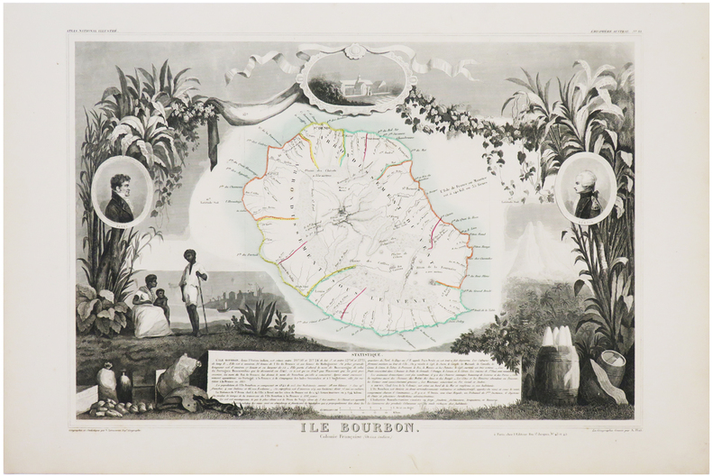
LEVASSEUR (V.)
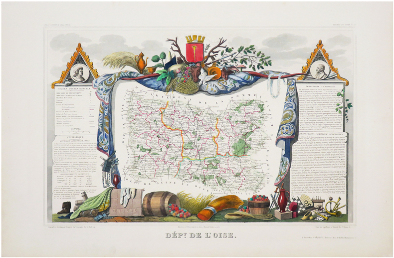
Atlas National.Illustré des 86 Départements et des Possessions de la France divisé par Arrondissements,Cantons et Communes.
Avec le tracé de toutes les routes,chemins de fer et canaux. Ouvrage entièrement gravé, comprenant 1 page de titre illustrée,1 tableau statistique,86 cartes départementales françaises,légèrement rehaussées de couleurs, sur les limites de cantons,6 cartes Coloniales(Algérie,Réunion, Guadeloupe,Martinique,Sénégambie,Guyane),1 carte du Monde, 1 carte de l'Europe,1 carte de l'Afrique,1 carte de l'Amérique Méridionale,1 carte de l'Amérique Septentrionale,1 carte d'Asie, 1 carte de l'Océanie et 1 grande carte de la France, soit 100 cartes gravées.Chaque carte est entourée de motifs pastoraux,représentant les productions locales,les statistiques,les personnalités,les armoiries et le tout dans un encadrement.Paris,A. Combette,1854.In-folio(53,5x37cm) relié demi chagrin rouge d'époque à coins,dos très ornés de fers dorés,nom de l'auteur et titre en lettres dorées,titre ornementé sur le plat supérieur. Bon état.
Riferimento per il libraio : WOC-165

|
|
|
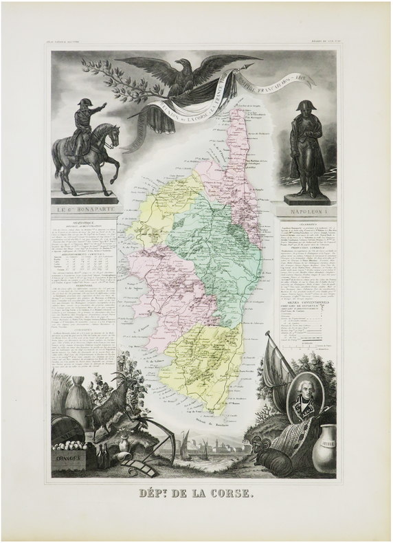
LEVASSEUR (Victor).
[CORSE] Dép.t de la Corse.
Paris, [circa 1850]. 430 x 281 mm.
Riferimento per il libraio : LBW-7843
|
|
|
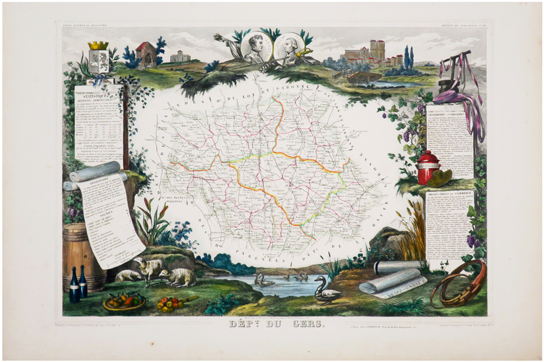
LEVASSEUR (Victor).
[GERS] Dép.t du Gers.
Paris, [1849]. 298 x 427 mm.
Riferimento per il libraio : LBW-6964
|
|
|
LEVASSEUR (Victor).
[HAUTE-SAÔNE] Dép.t de la H.te Saône.
Paris, [1849]. 302 x 422 mm.
Riferimento per il libraio : LBW-6948

|
|
|
LEVASSEUR (Victor).
[LA RÉUNION] Île Bourbon. Colonie française (Océan Indien).
Paris, [1845]. 303 x 430 mm.
Riferimento per il libraio : LBW-6950
|
|
|
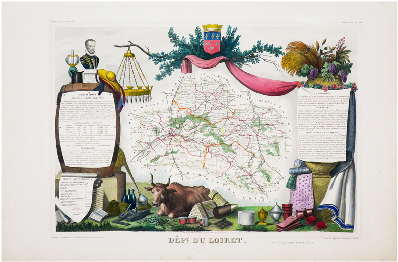
LEVASSEUR (Victor).
[LOIRET] Dép.t du Loiret.
Paris, [1849]. 295 x 413 mm.
Riferimento per il libraio : LBW-6962
|
|
|
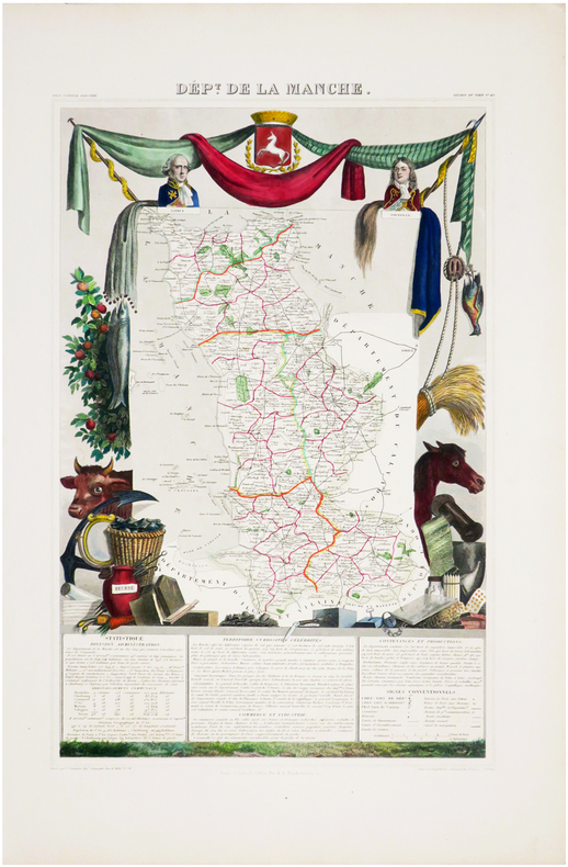
LEVASSEUR (Victor).
[MANCHE] Dép.t de la Manche.
Paris, [1849]. 425 x 273 mm.
Riferimento per il libraio : LBW-6965
|
|
|
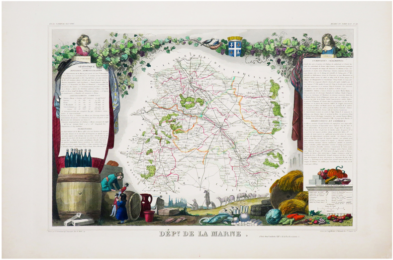
LEVASSEUR (Victor).
[MARNE] Dép.t de la Marne.
Paris, [1849]. 288 x 418 mm.
Riferimento per il libraio : LBW-6969
|
|
|
LEVASSEUR (Victor).
[MARTINIQUE] Colonies françaises. Martinique. Amérique du Sud.
Paris, [circa 1850]. 292 x 419 mm.
Riferimento per il libraio : LBW-4860

|
|
|
LEVASSEUR (Victor).
[MARTINIQUE] Colonies françaises. Martinique. Amérique du Sud.
Paris, [circa 1850]. 286 x 423 mm.
Riferimento per il libraio : LBW-4894

|
|
|
LEVASSEUR (Victor).
[MARTINIQUE] Colonies françaises. Martinique. Amérique du Sud.
Paris, [1861]. 290 x 416 mm.
Riferimento per il libraio : LBW-6961

|
|
|
LEVASSEUR (Victor).
[OISE] Dép.t de l'Oise.
Paris, [1849]. 292 x 420 mm.
Riferimento per il libraio : LBW-6949
|
|
|
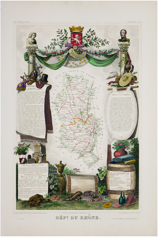
LEVASSEUR (Victor).
[RHÔNE] Dép.t du Rhône.
Paris, [1849]. 442 x 285 mm.
Riferimento per il libraio : LBW-6952
|
|
|
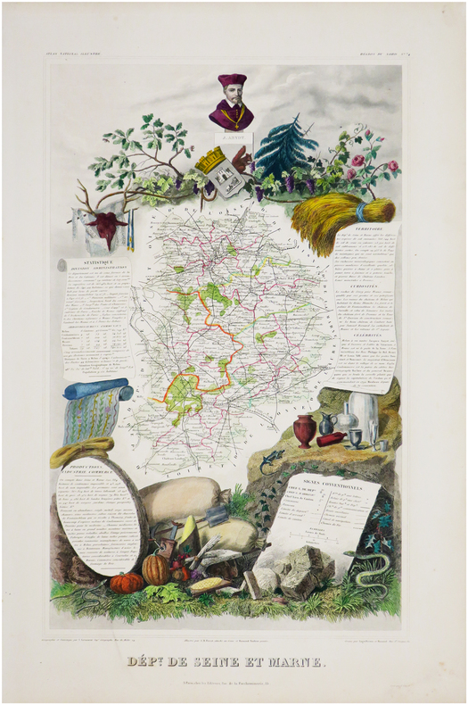
LEVASSEUR (Victor).
[SEINE-et-MARNE] Dép.t de Seine et Marne.
Paris, [1849]. 475 x 276 mm.
Riferimento per il libraio : LBW-6966
|
|
|
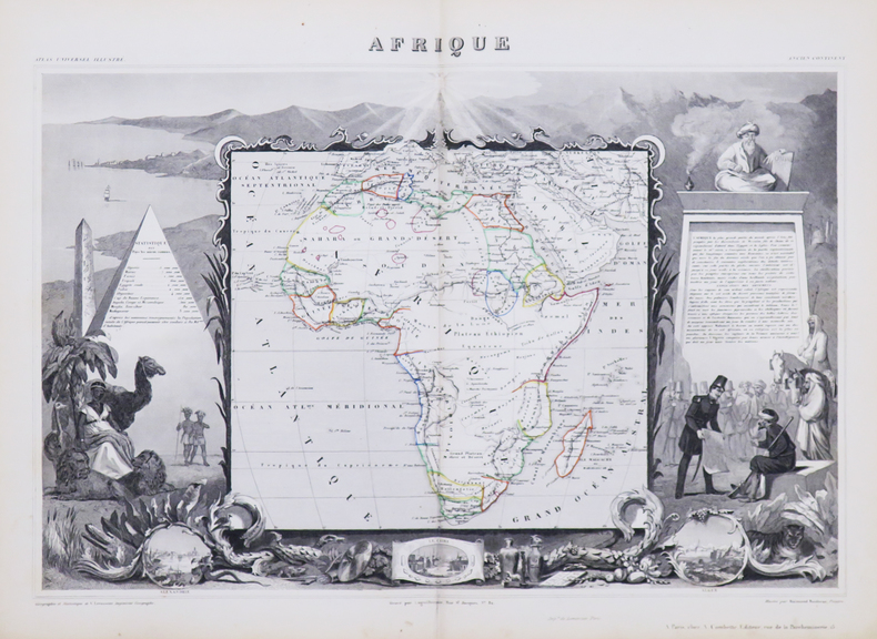
LEVASSEUR (Victor).
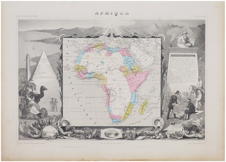
Afrique.
Paris, [circa 1850]. 320 x 440 mm.
Riferimento per il libraio : LBW-4863
|
|
|
LEVASSEUR (Victor).
Afrique.
Paris, [1861]. 315 x 437 mm.
Riferimento per il libraio : LBW-6960
|
|
|
LEVASSEUR (Victor).
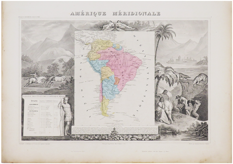
Amérique méridionale.
Paris, [circa 1850]. 315 x 427 mm.
Riferimento per il libraio : LBW-4866

|
|
|
LEVASSEUR (Victor).
Amérique méridionale.
Paris, [1861]. 315 x 425 mm.
Riferimento per il libraio : LBW-6938
|
|
|
LEVASSEUR (Victor).
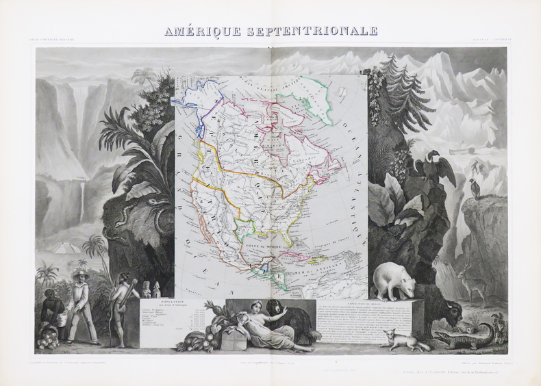
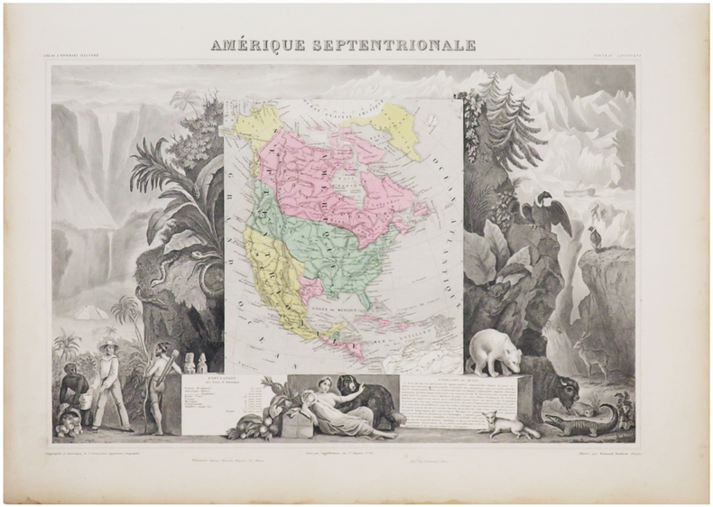
Amérique septentrionale.
Paris, [circa 1850]. 310 x 439 mm.
Riferimento per il libraio : LBW-4867
|
|
|
LEVASSEUR (Victor).
Amérique septentrionale.
Paris, [1861]. 307 x 434 mm.
Riferimento per il libraio : LBW-6933
|
|
|
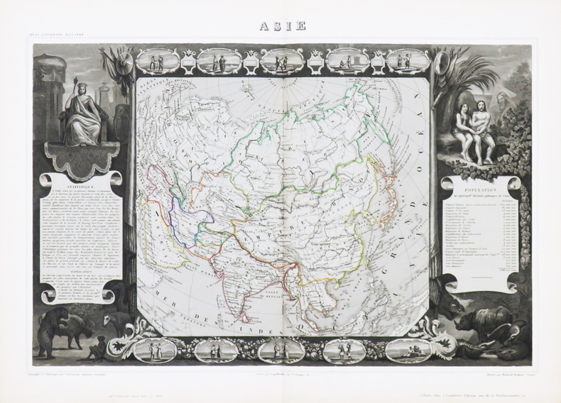
LEVASSEUR (Victor).
Asie.
Paris, [circa 1850]. 320 x 438 mm.
Riferimento per il libraio : LBW-4864
|
|
|
LEVASSEUR (Victor).
Asie.
Paris, [1861]. 320 x 436 mm.
Riferimento per il libraio : LBW-6951

|
|
|
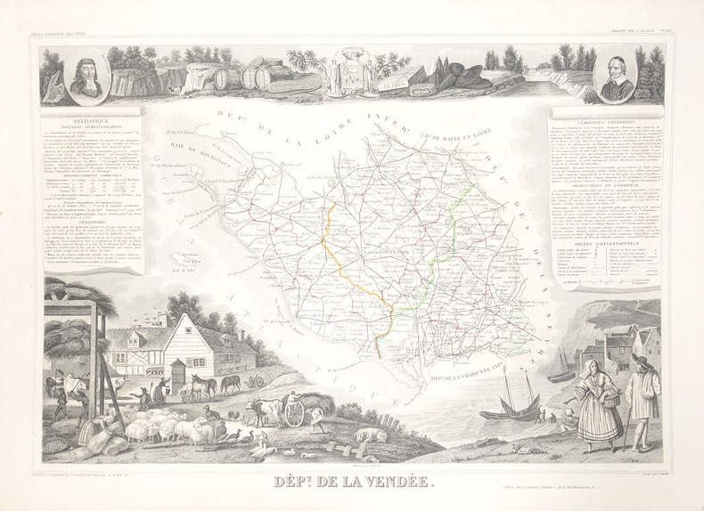
LEVASSEUR (Victor).
Dépt. de la Vendée.
Paris, 1849. 298 x 423 mm.
Riferimento per il libraio : LBW-2404
|
|
|
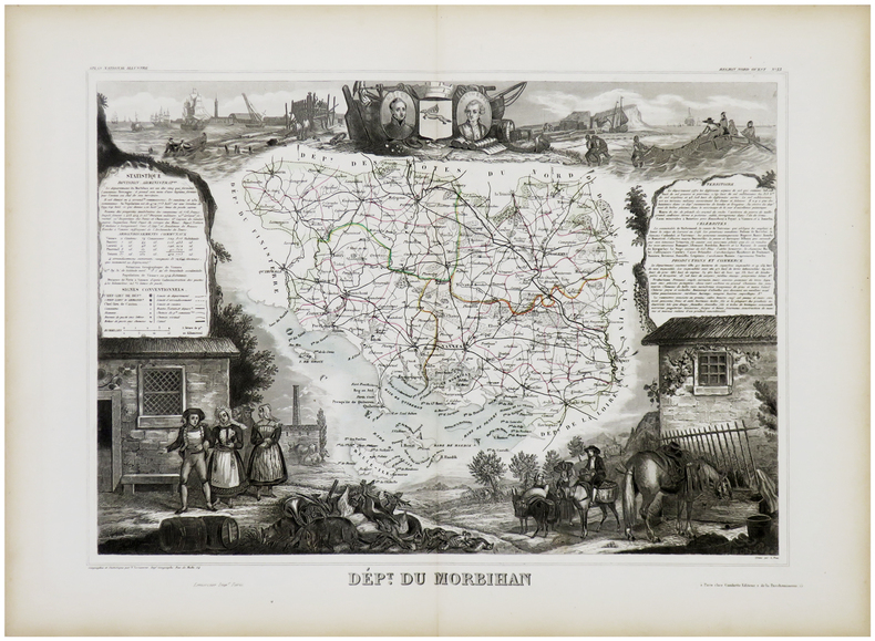
LEVASSEUR (Victor).
Dépt. du Morbihan.
Paris, [1849]. 295 x 404 mm.
Riferimento per il libraio : LBW-2406
|
|
|
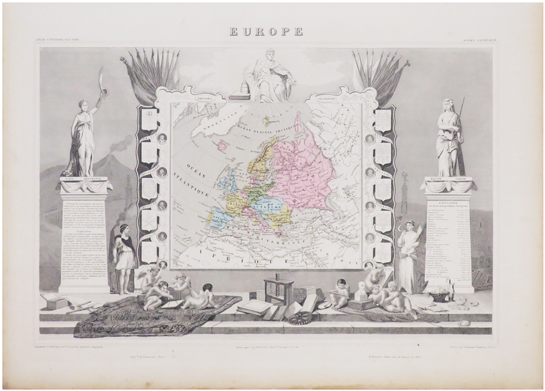
LEVASSEUR (Victor).
Europe.
Paris, [circa 1850]. 320 x 441 mm.
Riferimento per il libraio : LBW-4862

|
|
|
LEVASSEUR (Victor).
Europe.
Paris, [1861]. 320 x 440 mm.
Riferimento per il libraio : LBW-6934
|
|
|
LEVASSEUR (Victor).
Océanie.
Paris, [circa 1850]. 315 x 423 mm.
Riferimento per il libraio : LBW-4865

|
|
 Ricevere i risultati per e-mail
 Scaricare i risultati in PDF
 RSS feed


