|
Henry Collins Brown
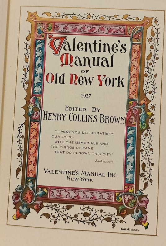
Valentine's Manual of Old New York
Valentine's Manual Inc 1926 in8. 1926. Cartonné. Cet ouvrage publié par Henry Collins Brown à partir de 1919 sous le titre 'Valentine's Manual of Old New York' est une série de volumes annuels documentant l'histoire de New York à travers des faits historiques des reproductions de cartes anciennes et des estampes en couleur. Il s'inscrit dans la tradition du 'Valentine's Manual' original du 19e siècle mais en se concentrant sur des aspects historiques et visuels plutôt que sur des données financières municipales
Référence libraire : 100153168
|
|
|
HENRIOT, J.N.
Plan de Paris en 1861 divisé en 20 arrondissements
1 carte dépliante en couleurs, format 62 x 89 cm, Chez A. Bes et F. Dubreuil, Paris, 1861 Charmante carte lithographiée en couleurs de Paris au temps du baron Haussmann. Bon état (minimes usures et fentes en plis, cachet de colportage au verso). Français

|
|
|
Hepworth Dixon
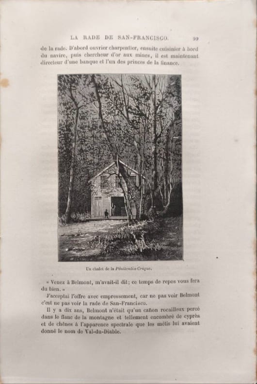
La conquête blanche - 118 gravures et 2 cartes
Librairie Hachette et Cie 1877 544 pages IN8. 1877. reliure editeur. 544 pages. Ouvrage de William Hepworth Dixon traduit de l'anglais par Hipp. Vattemare publié en 1877 par Hachette et Cie. Il s'agit d'un récit de voyage aux États-Unis d'Amérique illustré de 118 gravures sur bois et 2 cartes. Le livre a été réédité en fac-similé par Hachette Livre et la BNF et certaines éditions récentes notent que l'ouvrage reflète des courants de pensée de son époque qui pourraient être jugés condamnables aujourd'hui
Référence libraire : 13188
|
|
|
HERRERA Y TORDESILLAS (Antonio de).
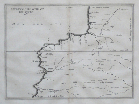
[COLOMBIE/EQUATEUR] Descripcion del audiencia del Quito.
[Amsterdam, 1622]. 211 x 288 mm.
Référence libraire : LBW06217
|
|
|
HERRERA Y TORDESILLAS (Antonio de).
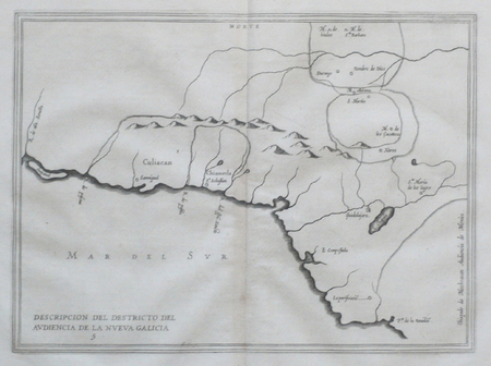
[MEXIQUE] Descripcion del destricto del audiencia de la Nueva Galicia.
[Amsterdam, 1622]. 213 x 291 mm.
Référence libraire : LBW066c0
|
|
|
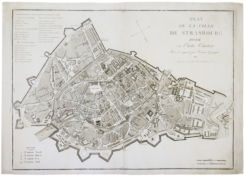
HERISSON (Eustache).
[STRASBOURG] Plan de la ville de Strasbourg divisé en quatre cantons.
Paris, Jean, 1836. 535 x 755 mm.
Référence libraire : LBW-4455
|
|
|
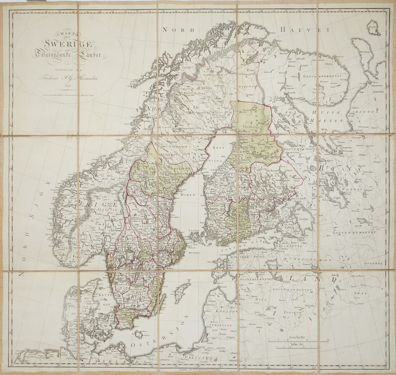
HERMELIN (Samuel Gustav).
[SUEDE] Charta öfwer Swerige med Tilgränsande Länder.
1797-1809. En 15 sections montées sur toile et pliées, formant une carte de 577 x 611 mm.
Référence libraire : LBW-2930
|
|
|
HERZOG Maurice; DEVIES Lucien (préf.):
Annapurna premier 8.000.
Paris / Grenoble, Arthaud, collection Sempervivum, 1952. In-8 broché de 293-[15] pages, jaquette illustrée.
Référence libraire : 19729

|
|
|
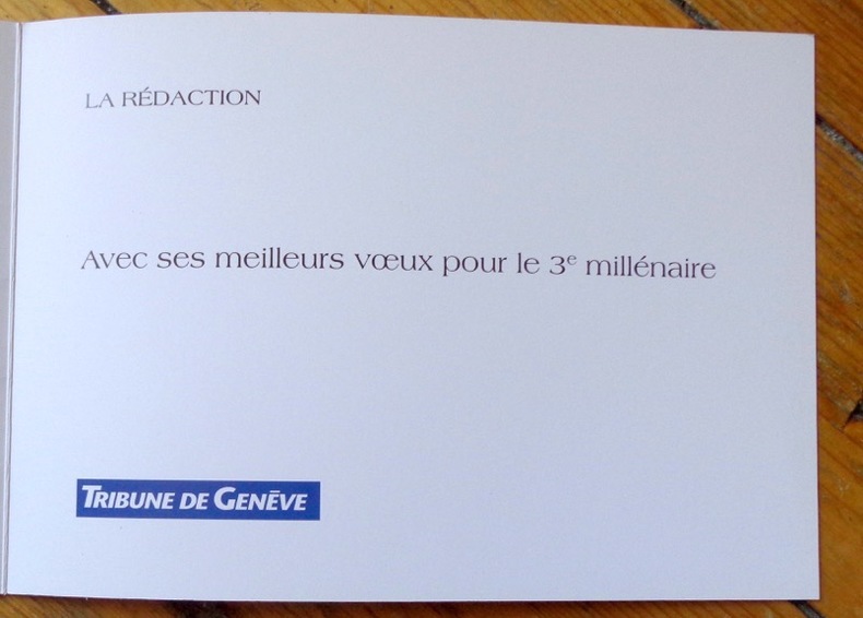
Herrmann:
Bon millénaire !
Tribune de Genève, 2000. Carte de voeux du quotidien, pliante, illustrée par Herrmann.
Référence libraire : 8567
|
|
|
Hergé:
Canot du Crabe aux Pinces d'Or. Sérigraphie en 2 états.
Lausanne, La Marge. Sérigraphie au format 25,5 x 18,5 cm. En deux états, soit un essai annoté des passages couleurs et la version définitive, au tirage limité à 200 exemplaires numérotés, la nôtre numéro 110.
Référence libraire : 6311

|
|
|
HERODOTO, BECELLI (Trad.)
Erodoto Alicarnaso padre della Greca istoria con la vita d Homero tradotto dal Sr Giulio Cesare Becelli gentiluomo Veronese…..
Verona, Giolito, 1733, 2 volumes in-4, 8ff.-424pp.-2ff. et 224pp.-50ff.-XXX ; relié demi basane époque, dos à nerfs avec pièces de titre rouge et tomaisons vertes, tranches mouchetées rouge, frottements, petit manque au dos.
Référence libraire : PHO-1806

|
|
|
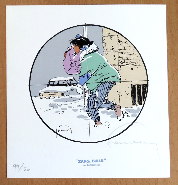
Hermann:
Ex libris Zarg-Bulle.
Zarg-bulle. 1852 Ex libris au format 18,5 x 20 cm. A l'état de neuf.
Référence libraire : 24394
|
|
|
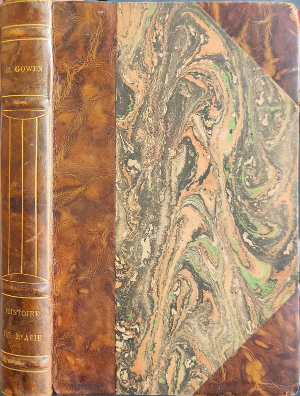
Herbert H. Gowen
Histoire de l asie par herbert gowen /6 cartes
Payot 1929 402 pages IN8. 1929. reliure éditeur demi basane dos à nerfs. 402 pages. Cet ouvrage de Herbert H. Gowen professeur de langues et littératures orientales propose une synthèse historique de l'Asie. Traduit en français par le Commandant Lepage il a été publié par Payot dans la collection Bibliothèque historique avec plusieurs éditions entre 1929 et 1937. Le livre comprend 402 pages six cartes un index et une table chronologique
Référence libraire : 15136
|
|
|
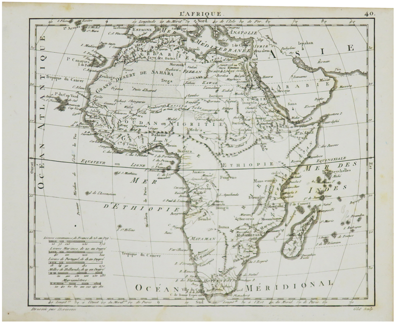
HERISSON (Eustache).
L'Afrique.
[1806]. 178 x 215 mm.
Référence libraire : LBW024b9
|
|
|
HERZOG Maurice (direction); COURTHION Pierre; COUZY Jean; ESCARRA Jean; et al.
La montagne
Paris Librairie Larousse 1956 Fort volume in-4 de 474 pages, pleine reliure en skivertex vert foncé sous sa jaquette à rabats illustrée en couleurs, titre doré, tranches jaspées. Jaquette fatiguée, autrement très bon état.
Référence libraire : 16828
|
|
|
HERALD (George W.) et RADIN (Edward D).
Monte-Carlo : Un siècle de roulette.
Paris, Trévise, Collection "Le dessous des cartes", 1964 ; in-8, broché, couverture illustrée, 265 pp.
Référence libraire : 7437
|
|
|
HERALD Georges W. et Edward D. RADIN
MONTE-CARLO : un siècle de roulette.
broché - 15,5x21,5 - 267 pp - 1964 - éditions de trevise, Paris.Collection "le dessous des cartes ". Photographies hors texte.
Référence libraire : 6989
|
|
|
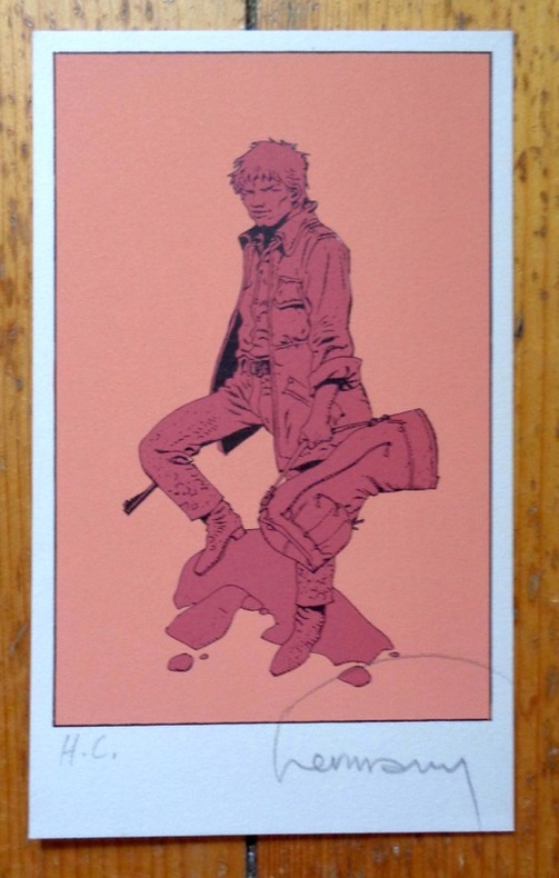
Hermann:
Petite sérigraphie signée.
Petite sérigraphie à l'état de neuf. Tirage nom mentionné, celle-ci marquée HC, signée par Hermann.
Référence libraire : 5036
|
|
|
Hermann:
Voeux de la Tribune de Genève pour le 3e millénaire.
Tribune de Genève, 1999. Carte double au format fermé de 21 x 15 cm.
Référence libraire : 24397

|
|
|
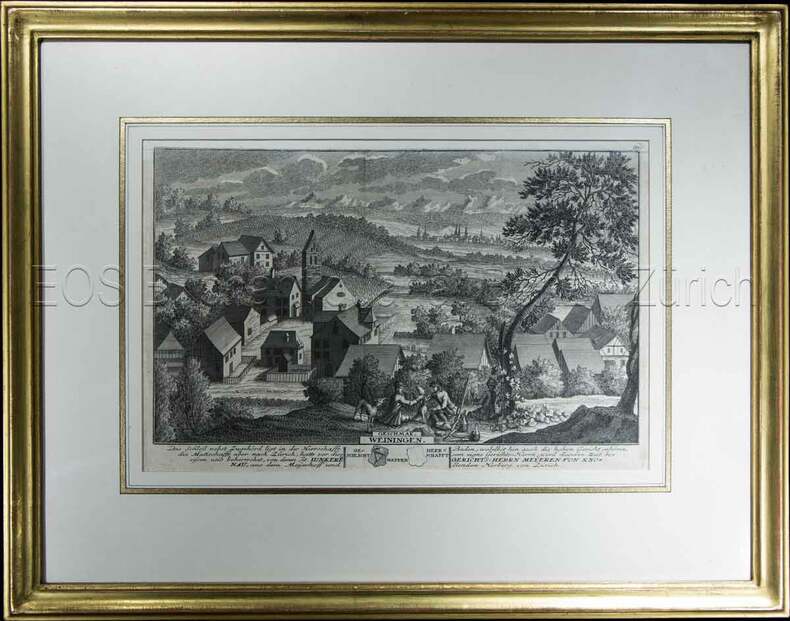
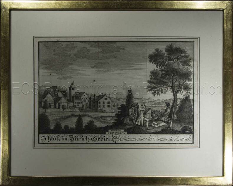
Herrliberger, David:
Weiningen.
1741. Kupferstich. Bildausschnitt: 119 x 28,5 cm. Rahmen: 34,5 x 44 cm.
Référence libraire : 604BG
|
|
|
Herrliberger, David:
Weiningen.
1743. Kupferstich. Bildausschnitt: 20 x 28 cm. Rahmen: 33,5 x 42 cm.
Référence libraire : 605BG
|
|
|
HERALD (George W.) et RADIN (Edward D).
Monte-Carlo : Un siècle de roulette.
Paris, Trévise, Collection "Le dessous des cartes", 1964 ; in-8, broché, couverture illustrée, 265 pp. Planches hors-texte.
|
|
|
HERISSON
Carte du Royaume d'Irlande, dressée par Hérisson, Elève du Cit. Bonne, ancien Ingénieur hydrographe de la Marine. 1805
1 grande carte 57 x 85 cm, frontières rehaussées en couleur, Chez Basset, Paris, 1805 Etat très satisfaisant (deux petites coupures en pliure centrale, marges lég. frottée, bel état par ailleurs). Français

|
|
|
Herkenhoff, Michael
Die Darstellung außereuropäischer Welten in Drucken deutscher Offizinen des 15. Jahrhunderts.
Berlin, Akademie-Verlag, 1996. 350 S. Mit Abb. 25 cm. OPp.
Référence libraire : 95173

|
|
|
Hermann Kinder and Werner Hilgemann; translated by Ernest A Menze; with maps designed by Harald and Ruth Bukor
The Penguin atlas of world history v. 1 Penguin reference books
Penguin Books N.A. Soft Cover. Fine. Page size: 2 v. Size: 18 cm New book size Penguin Books paperback
Référence libraire : 2080202103703542
|
|
|
HERNANDO RICA, Agustín.
Coleccionismo Cartográfico en el Siglo XVII. Ejemplares reunidos por Vincencio Juan de Lastanosa (1607-1681) y su significado.
Huesca, 2007. 4to. apaisado; 92 pp. Ilustraciones. Cubiertas originales.

|
|
|
HERNANDO RICA, Agustín.
La imagen de un país. Juan Bautista Labaña y su Mapa de Aragón (1610-1620).
Zaragoza, IFC, 1996. Folio; 158 pp., impresas a doble columna y 69 reproducciones de mapas. Cubiertas originales.

|
|
|
HERNÁNDEZ MILLARES, Jorge.
Atlas del Viejo Mundo.
México, Fondo de Cultura Económica, 1964. 4to. menor; 58 pp. y 42 mapas aparte. Enc. original en tela.

|
|
|
HERODOTUS; CARY, HENRY (trans) & SCARE, CHRIS (ed) & GEELAN, P J M (maps)
Herodotus: The Histories
The Folio Society 1992. Imp 8vo illus cl bds gilt lettering & ornament to leather spine upper pg edge stained red illus map eps frontispiece xxi 632 pp. plates counted all present VG light soiling/rubbing to spine light rubbing to bords & extrems minor foxing to pg edges in slipcase with gilt ornament to front and back cover VG light chaffing to covers & spine light brusing to exrems & front cover The Folio Society 1992 hardcover
Référence libraire : 323822
|
|
|
Herrera, Ovidio-Cesar Paredes
New Guide To The Prado Gallery
No marks or inscriptions. A very clean very tight copy with bright unmarked boards and no bumping to corners. Dust jacket not price clipped or torn or creased with small marks to upper edges. Two fold-out gallery plans in excellent condition. 173pp. Comprehensive guide to the paintings in the Prado Galley in Madrid. Well illustrated.
|
|
|
Herrliberger, David
Weiningen.
1743. Kupferstich. Bildausschnitt: 20 x 28 cm. Rahmen: 33,5 x 42 cm. + Wichtig: Für unsere Kunden in der EU erfolgt der Versand alle 14 Tage verzollt ab Deutschland / Postbank-Konto in Deutschland vorhanden +, Abb.
Référence libraire : 605BG

|
|
|
Herrliberger, David
Weiningen.
1741. Kupferstich. Bildausschnitt: 119 x 28,5 cm. Rahmen: 34,5 x 44 cm. + Wichtig: Für unsere Kunden in der EU erfolgt der Versand alle 14 Tage verzollt ab Deutschland / Postbank-Konto in Deutschland vorhanden +, Abb.
Référence libraire : 604BG

|
|
|
Herrmann, Hugo [Hermann]
Palästinakunde: Ein Hand und Nachschlagebuch. Ein Leitfaden für Vortragende und Kurse sowie für den Unterricht. Mit vielen Karten, Diagrammen und Tabellen. Zweite Auflage.
23x16cm. VIII+566 pages. Hardcover. Cover stained. Cover corners bumped. Pages yellowing. Else in good condition
|
|
|
Herzogthum Steyermark:
Politische Eintheilung. Kupferstichkarte.
31,5 x 37,5 cm (Blattgröße 40 x 50 cm). *Blatt mit Numererierung "12". Vermutlich aus einem großformatigen Österr. Schulatlas zu Anfang des 19. Jahrhunderts. Die Karte zeigt die Steyermark in ihren poitischen Grenzen mit Grenzkolorit. - Mittelfalz, geringe Randbräunung. Landkarten de
|
|
|
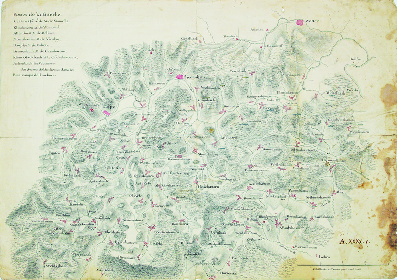
HESSE. MANUSCRIT.
[Carte de la région du cours supérieur de la Lahn].
1760-1762. 333 x 470 mm.
Référence libraire : LBW-4202
|
|
|
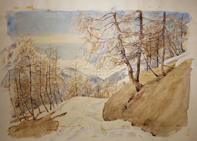
Hess: Schweizer Künstler
Lenzerheide.
um 1950. Aquarell auf festem Papier. Blattgrösse: 36 x 50 cm.
Référence libraire : 633DG
|
|
|
Hess, Nancy; photographs and Maps [Illustrator]
The Heartland "Rockingham County
s.n. 1976-01-01. Hardcover. New. In shrink wrap. Looks like an interesting title! s.n.] hardcover
Référence libraire : Q-0878132252 ISBN : 0878132252 9780878132256
|
|
|
Hess: Schweizer Künstler
Lenzerheide.
um 1950. Aquarell auf festem Papier. Blattgrösse: 36 x 50 cm. + Wichtig: Für unsere Kunden in der EU erfolgt der Versand alle 14 Tage verzollt ab Deutschland / Postbank-Konto in Deutschland vorhanden +, bild
Référence libraire : 633DG

|
|
|
Heubner, Hermann (1843-1915):
Die Berner Alpen.
O.O,. O.J. (um 1880). Farbige Lithographie auf Papier, auf Leinen aufgezogen. Bildformat: 65 x 171 cm.
Référence libraire : 141DG
|
|
|
Heyerdahl, Thor
Kon-Tiki: A Special Rand McNally Edition for Young People
Sturtevant Wisconsin U.S.A.: Rand McNally 1975. First Thus . Soft cover. Fine. 4to - over 9¾" - 12" tall. Very large sturdy softcover heavy glossy textured wrappers with color-illustration of raft upon the seas on front and back wrappers 165 heavy pages profusely illustrated color-illustrations of big fish inside front wrapper and adjacent end paper color maps with routes inside back wrappers and adjacent end paper. Price near top front tip inked out. Near Very Fine. <br/> <br/> Rand McNally paperback
Référence libraire : 39790 ISBN : 0528871757 9780528871757
|
|
|
Heß, J. L. [Jonas Ludwig] von
Topographisch-politisch-historische Beschreibung der Stadt Hamburg. THEILE 1 u. 2 (von 3) in 2 Bdn.
Hamburg, bey Bachmann u. Gundermann / auf Kosten des Verf., in Comm. bei B. G. Hoffmann, 1796/1789/1811. BAND 1 mit 1 Titelkupfer, 1 gestoch. Flutenmesser, 3 gefaltete Grundrisse (Zuchthaus, Waisenhaus (mit Ansicht) und Pesthof) u. 1 gestoch., mehrfach gefalt. Plan der Kayserlichen Freyen Reichsstadt Hamburg (v. W. Tringham nach J. F. Reinke). // BAND 2 mit 1 Titelkupfer, 1 teilkolor. Faltkarte vom Hamburg. Gebiet, 1 gestoch. Trachtentaf. (von W. Tringham) u. 1 gefalt. gestoch. Karte vom Amt Ritzebüttel (von Pingeling nach J. F. Reinke). 18 cm. Neue marmor. Pp. m. altem Rschild (Bd. 1) bzw. HLdr d. Zeit m. goldgepr. Titel- sowie Bandschild (Bd. 2).
Référence libraire : 89498

|
|
|
Hildebrand Gabriel (phot.):
[Musée d'Histoire de Stockholm].
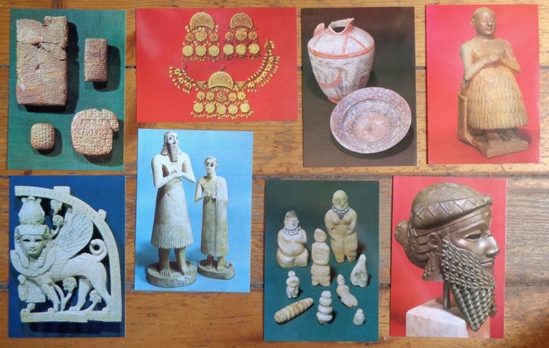
Stockholm, Medelhavsmuseet - Historiska museet. 8 cartes postales, à l'état de neuf (mis à part un microscopique pli à un coin) présentant des objets présentés au musée (poteries préhistoriques - coiffure, époque ottomane - tablettes, époque sumérienne et assyrienne,...)
Référence libraire : 8163
|
|
|
Hill, Gillian & Tyacke, Sarah
Cartographical Curiosities
No marks or inscriptions. Tiny crease to upper corner of rear cover, none to front. A lovely clean very tight copy with bright unmarked boards and no bumping to corners. 63pp. A survey of some of the more unusual maps in the British Library, whether based on genuine geographical misconceptions or the deliberate whimsy of cartographers.

|
|
|
HILLIARD, J.N.
La Prestidigitation du XXe siècle. Tours de cartes modernes. Cartes, éventails, toutes les manipulations et passes modernes, faux mélanges, sauts de coupe, forçages, etc., toutes les subtilités modernes supprimant les passes, tours anciens modernisés, tou
in-8, 573 pp., figures dans le texte, broche, couv. ill. Etat tres moyen [NV-37] Manuscrit et notes publies par Carl W. Jones et Jean Hugard.
|
|
|
HINZELIN Emile Cartes et panoramas dépliants.
1914. Histoire illustrée de la guerre du droit. (En 3 volumes).
Couverture rigide. Reliure de l'éditeur. 1200 pages. Rousseurs. 21 x 28 cm.
Référence libraire : 116839

|
|
|
Hinde, W. Squire, J. Marshall, Thomas Cooke M.
To face Globe
Tavola astronomica tratta dall’A New Royal and Universal Dictionary of Arts and Sciences, London 1770-1771, Printed of J. Cooke Si tratta di un’opera in due grandi volumi, cm 35,5 x 23,5, rispettivamente pubblicati a Londra nel 1770 e nel 1771, che raccoglie in ordine alfabetico alcune centinaia di voci illustranti sia le conoscenze scientifiche e tecnologiche che lo sviluppo delle arti e dei mestieri dell’epoca. Le singole voci, scritte dai più autorevoli esperti europei, sono state poi riviste e redazionate da M. Hinde per il settore relativo all’anatomia, medicina e chimica, da W. Squire per le matematiche, da T. Marshall per la Botanica e da Thomas Cooke per le materie umanistiche. Centouno tavole prodotte da relative incisioni su rame illustrano i due volumi. Le incisioni, equamente ripartite sui vari saperi, riproducono sia soggetti della natura che i più aggiornati strumenti usati per indagarla. Una considerevole parte riguarda invece gli strumenti di lavoro delle varie arti e mestieri. L’opera è giunta a noi in pochissimi esemplari, se ne conoscono soltanto ventitré copie, in quanto le piastre in rame furono in un primo momento confiscate, prima della stampa, dalla Court of Chancery of London in conseguenza del fallimento dell’editore di Bevis, Johan Neale. Le ventitré copie conosciute fanno parte di una tiratura prodotta successivamente nel 1786 da John Horsfall, l’esecutore testamentario di Bevis, con il titolo di Atlas Celeste. Per il momento è ancora da ricostruire la storia di come le dodici tavole contenute nell’A New Royal and Universal Dictionary of Arts and Sciences abbiano potuto anticipare di circa quindici anni la diffusione degli originali che imitano. L’enciclopedia, oggi abbastanza rara e quasi non indagata dalla critica, subì l’influsso della più conosciuta e più antica Cyclopaedia: Or An Universal Dictionary of Arts and Sciences di Ephraim Chambers (ca. 1680-1740), pubblicata in Inghilterra nel 1728 (cfr. Felice Stoppa, Atlas Coelestis, http://www.atlascoelestis.com/Universal%20dictionary%20pagina.htm). Incisione in rame, finemente colorata a mano, in ottimo stato di conservazione. Astronomical plate taken from A New Royal and Universal Dictionary of Arts and Sciences, London 1770-1771, Printed of J. Cooke This is a work in two large volumes, 35.5 x 23.5 cm, respectively published in London in 1770 and 1771, which collects in alphabetical order a few hundred entries illustrating both scientific and technological knowledge and the development of arts and crafts of the time. The single entries, written by the most authoritative European experts, were then revised and edited by M. Hinde for the field related to anatomy, medicine and chemistry, by W. Squire for mathematics, by T. Marshall for Botany and by Thomas Cooke for the humanities. One hundred and one plates produced by relative copper engravings illustrate the two volumes. The engravings, equally divided among the various fields of knowledge, reproduce both natural subjects and the most up-to-date instruments used to investigate them. A considerable part concerns instead the working tools of the various arts and crafts. The work has come down to us in very few copies, only twenty-three copies are known, because the copper plates were initially confiscated, before printing, by the Court of Chancery of London as a result of the bankruptcy of the publisher of Bevis, Johan Neale. The twenty-three known copies are part of a print run produced later in 1786 by John Horsfall, the executor of Bevis' will, under the title of Atlas Celeste. For the moment, the story of how the twelve plates contained in A New Royal and Universal Dictionary of Arts and Sciences were able to anticipate by about fifteen years the diffusion of the originals they imitate is still to be reconstructed. The encyclopedia, now quite rare and almost unexamined by critics, was influenced by the better known and older Cyclopaedia: Or An Universal Dictionary of Arts and Sciences by Ephraim Chambers (ca. 1680-1740), published in England in 1728 (see Felice Stoppa, Atlas Coelestis, http://www.atlascoelestis.com/Universal%20dictionary%20pagina.htm).

|
|
|
Hinz, Earl
Complete Book of Anchoring and Mooring, The
Book is in excellent condition, appears unread. Binding is solid and square, covers have sharp corners, exterior shows no blemishes, text/interior is clean and free of marking of any kind. Dust jacket shows the slightest signs of shelf wear, some edge wear, two tears < 1". 309 pages, heavily illustrated with charts, diagrams, maps, tables, b&w photos. Contents include: loads at anchor, Deck gear for anchors, Anchor winlass Anchor rodes, Anchor options, Anchor and rode selection, Human factors in anchoring, Techinque of anchoring, Anchoring tricks, ( ways to stop anchor dragging, Setting tandem anchors, Rowing out and anchor, Kedging, the buoyed-anchor rode, Stern anchoring, Side bridle, Use of a drougue in a current, etc. ) Rights and responsibilities, Storm anchoring, Permanent moorings, etc. Copyright 2011 Pistil Books

|
|
|
Hirsch, Morris W
Differential Topology.
New York / Berlin, Springer (Graduate Texts in Mathematics / GTM 33), 1997. X, 222 S. (24 cm) Pappband / gebundene Ausgabe
Référence libraire : 73218
|
|
|
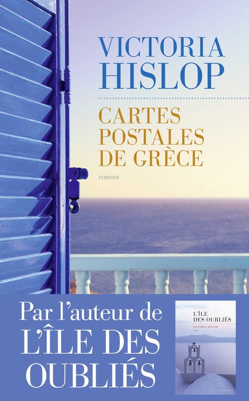
Hislop Victoria Delarbre Alice Kakolyris Alexandros
Cartes postales de Grèce
LES ESCALES 2017 433 pages 14 2x22 3x3 9cm. 2017. Broché. 433 pages.
Référence libraire : 500034596
|
|
|
Historical Maps
View of San Francisco
Ithaca: Historical Maps 1968. 60x84 cm. Color poster. Very Good. In plastic.Item in plastic sleeve new photos of item can be sent to customer upon request. Ithaca: Historical Maps, 1968 unknown
Référence libraire : 73-3802
|
|

 Recevoir par e-mail
 Télécharger en PDF
 Flux RSS
 Lien permanent


